 Submit a photo
Ninety seconds on Clapham Junction Cart Ruts
Visitor guides say so: they describe an open-air site with no entrance fee and no tickets to buy, and one walking guide lists it as open around the clock.
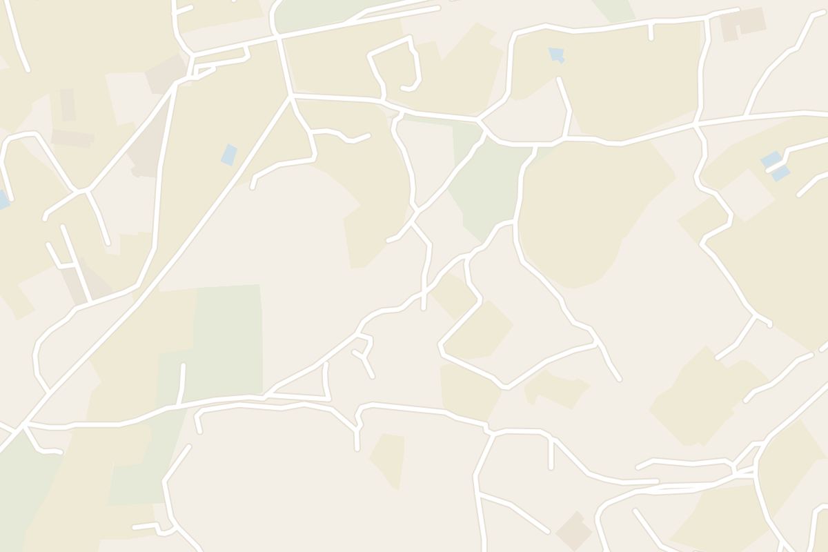
Route 56 runs from Valletta or Rabat to the Buskett stop, and the ruts lie a short climb up the lane from there, roughly 10 minutes on foot.
Signs on the Dingli Cliffs point inland to Cart Ruts, while maps label the same patch of limestone Clapham Junction, so search under both names.
Out on a bare limestone plateau inland from the Dingli Cliffs, near Buskett Gardens, you can trace the densest concentration of ancient cart ruts anywhere in the Maltese Islands.
Locally the site is called Misraħ Għar il-Kbir. Maps and guides know it as Clapham Junction, and it is the most famous cart rut site on Malta.
The grooves are deeply carved into the bare rock and crisscross over its surface. Stand among them and you can follow one track with your eye as it crosses another and runs on, then pick up the next line beyond it.
Who cut them is still debated. Maltese archaeologist Anthony Bonanno reads them as Phoenician work of the seventh century BC, while a 17th-century record was already asking where they came from.
Caves lie close to the ruts, reached on the same walk, so the outing takes in more than the grooves alone.
From the Buskett bus stop, walk about 10 minutes uphill along the lane to the ruts.
At the telegraph pole, a path to the right leads to the North field and one to the left to the South field.
For the main ruts, stay on the main path as it heads north and then bends west. It brings you out among the main cart ruts at Clapham Junction.
The site also sits on the walk inland from the Mary Magdalene Chapel on Dingli Cliffs, 15 to 20 minutes away. From the ruts and caves, the same walk drops into the woodland of Buskett Gardens.
There is no shade at all on the rock, so carry water, a hat and sunscreen.
Wear sturdy walking shoes, since the ruts are deep, and bring a camera for the grooves.
In the warmer months, light and breathable clothing makes the open rock easier going.
Explore the rest of Rabat
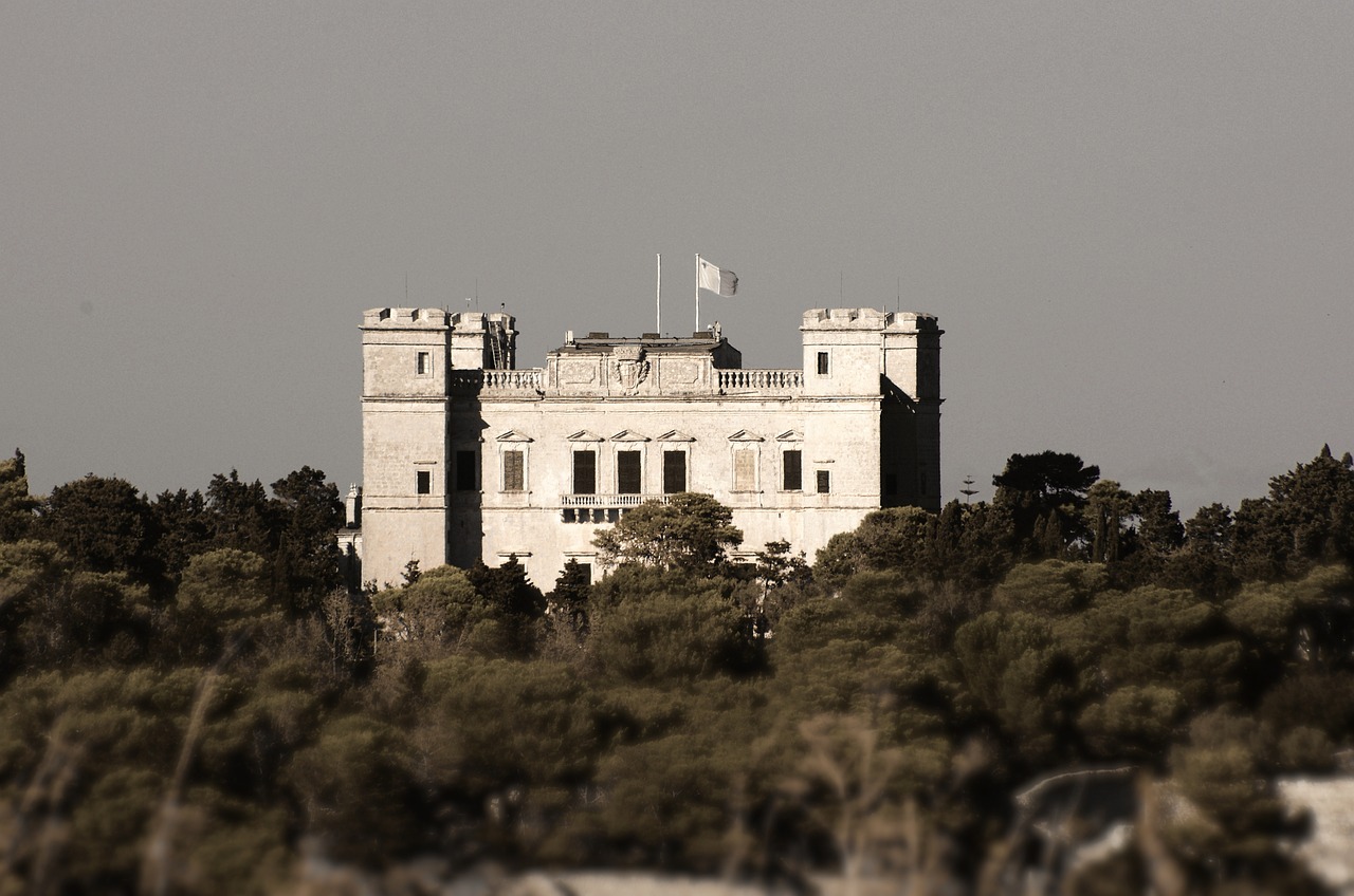
Malta's largest woodland fills a valley below Verdala Palace, with Aleppo pines, oaks, citrus groves and a stream that runs in winter.…
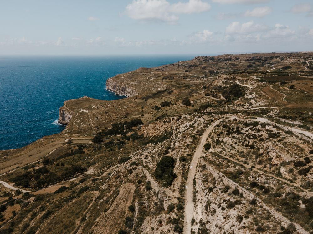
Sea cliffs drop around 250 m to the water along Malta's southwest edge at Dingli, the highest point on the island. A road and a footpath…
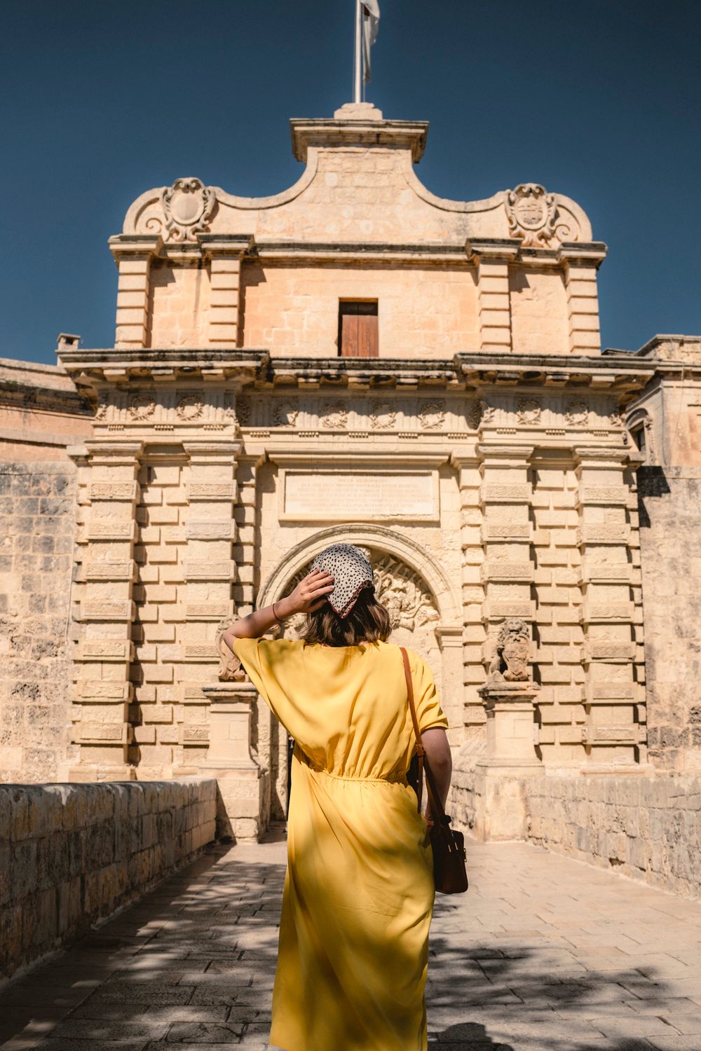
A stone bridge over the dry moat leads to Mdina's main gate, a baroque archway built in 1724 and carved with the arms of Grand Master…
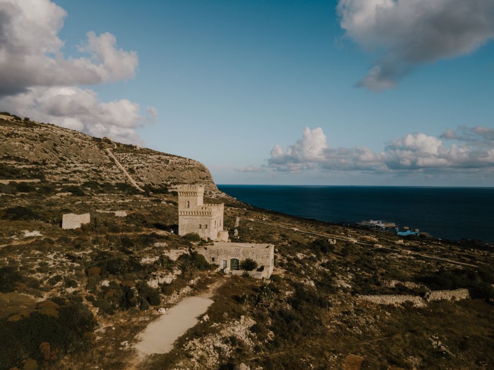
Cliffs shelter this rocky inlet of clear, deep water below Siġġiewi, once a favourite with snorkellers and divers for the caves near the…
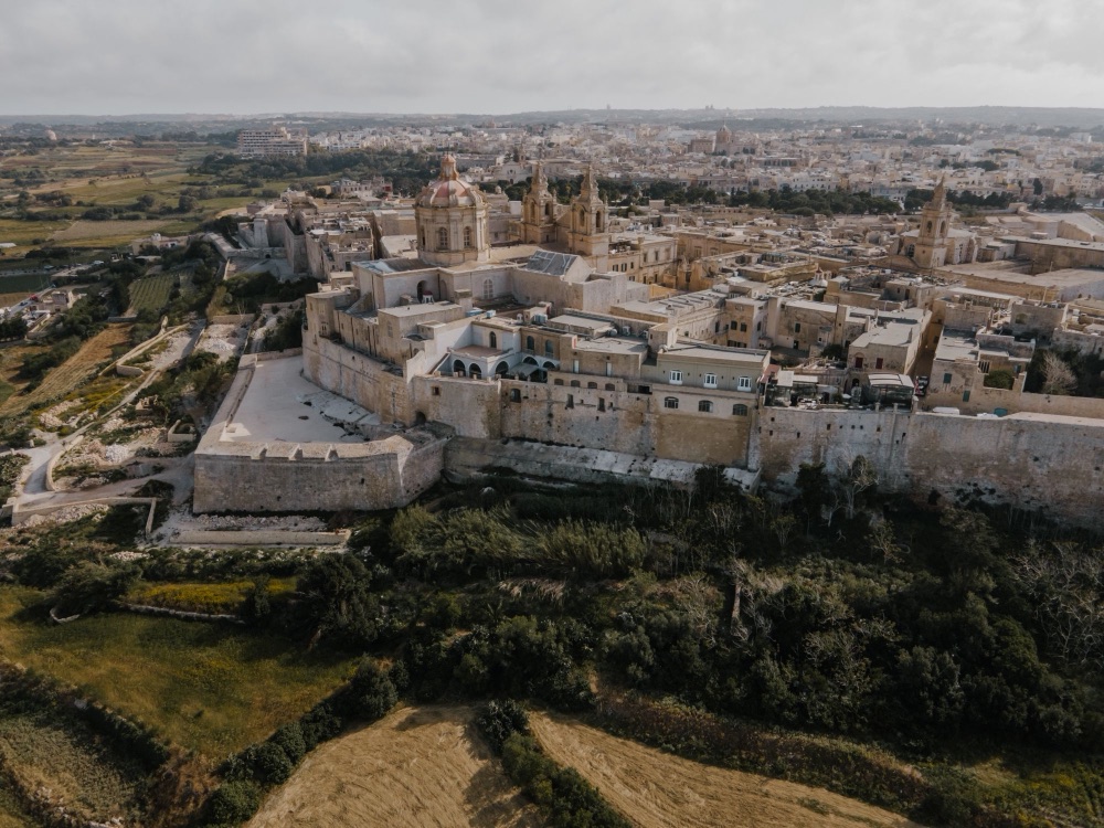
Inside a ring of bastions on a hill at the centre of Malta, the old capital is a quiet walled city of palazzi, churches and narrow lanes. A…
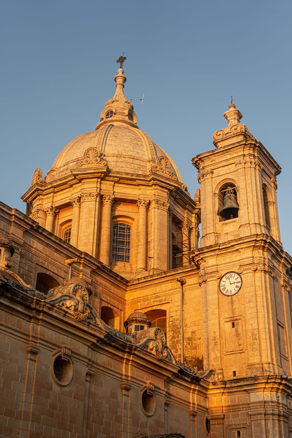
Baroque architecture and a floor of inlaid marble tombstones fill Mdina's cathedral, rebuilt by Lorenzo Gafà after the 1693 earthquake.…
From the ramparts at the northern tip of Mdina, the view runs across central Malta to the Mosta dome and on to the sea at St Paul's Bay.…
A paved path of about 500 metres runs downhill from Ħaġar Qim to Mnajdra, three temples set in a hollow facing the sea. The lower temple is…
Last updated