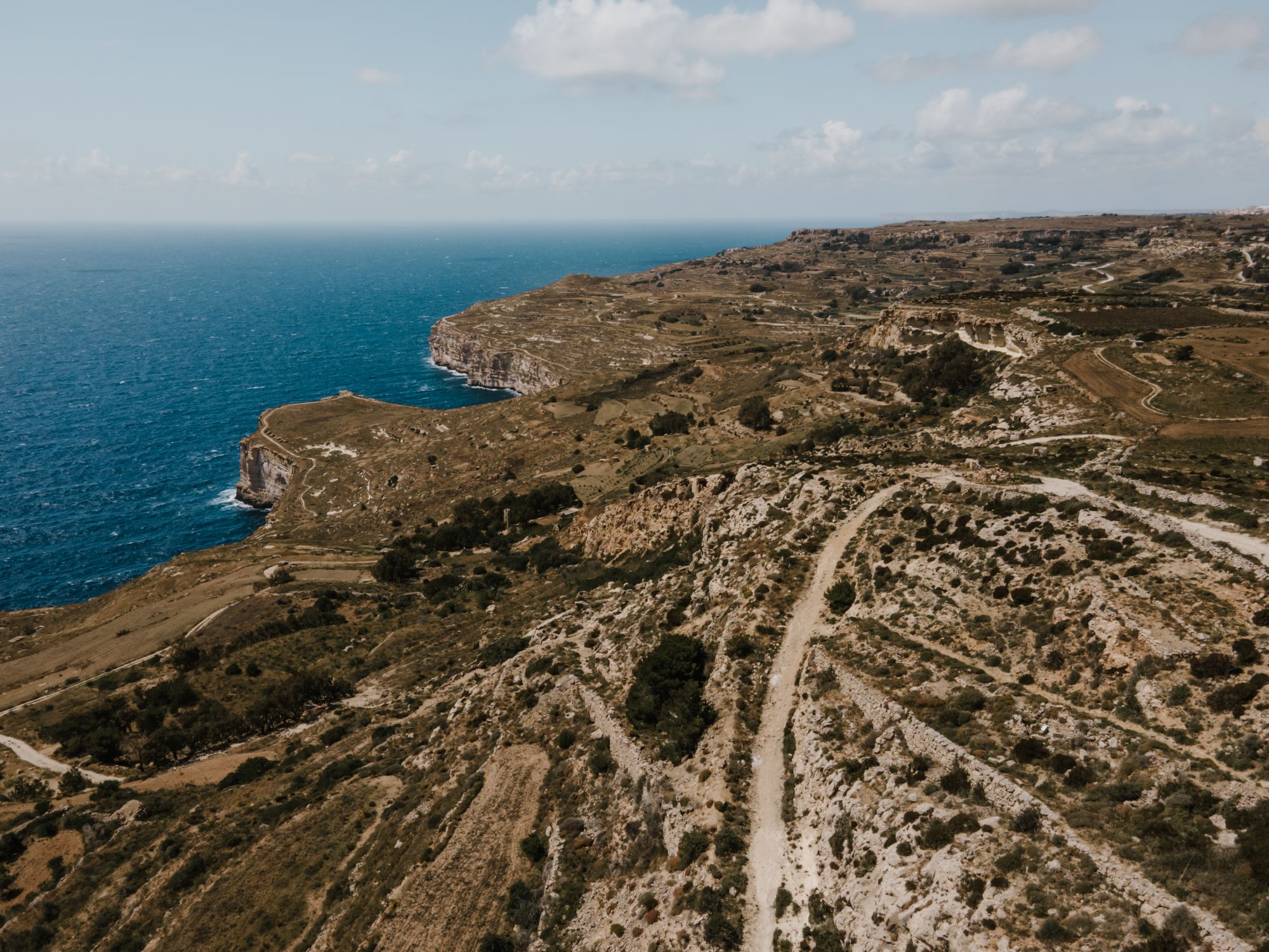
Walk the top of Malta's highest sea cliffs from Dingli village to a small chapel on the edge, with Filfla out to sea, then cut inland past bare rock grooved by prehistoric cart ruts to Buskett.
Hike, Rabat. Meridian Dispatch.
Route 201 from Rabat stops in Dingli village and then at Maddalena, by the chapel, and Cliffs, on the cliff road. Route 52 runs from Valletta to Dingli village. The Buskett stop, at the far end of the walk, is on routes 52, 56 and 181.
About 250 metres down to the sea. The highest point along the cliffs, about 253 metres above sea level, is at the clifftop chapel of St Mary Magdalene.
Watch from the main viewpoint on the cliff-top road, Triq Panoramika, which faces south-west over open sea. During the hunting season, September to January, stay on the road and ride the bus back instead of crossing rocky ground after dark.
Yes. The walk is roughly 3.5 km each way, mostly on roads, with a rough rocky section near Buskett, and is rated easy. A loop from Buskett to the cliffs and back is about 5 km and takes about 1 hour 20 minutes.
Yes. The autumn season runs between 1 September and 31 January, and the coastal walks along the Dingli Cliffs stay open throughout. Hunting peaks in the hours around sunrise and sunset, so walkers are advised to dress brightly and stay on the path.
Yes. Buskett woodland, where the walk finishes, is open to visit at all hours. It is owned by the Government of Malta, and parking is available at the site.
Along the edge to the chapel, then inland past the cart ruts to Buskett.
3.5 km from the Dingli bus stop to the Buskett bus stop.
The walk starts in Dingli village and climbs gently to Triq Panoramika, the road along the cliff top, beside the fenced radar station. From there the road follows the edge, and the sea drops about 250 metres below.
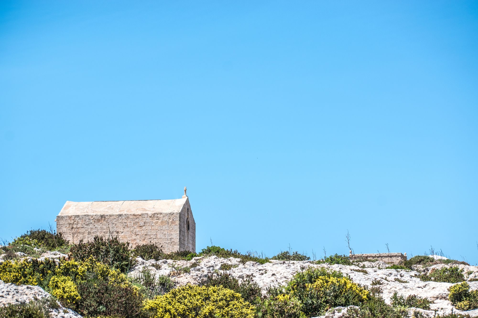
Further on, the Chapel of St Mary Magdalene stands right on the lip, beside the Maddalena bus stop. From beside the chapel you look straight down the cliff to the sea, with Filfla, a small rocky island and nature reserve, offshore.
The cliffs face south-west over open sea, so this stretch of road is where to watch the sun set over the water. From September to January, when dusk is the busiest hunting hour, watch from the road and take the bus back from the Cliffs stop rather than crossing the rock in the dark.
Past the Cliffs bus stop the route turns inland and passes Misraħ Għar il-Kbir, the site nicknamed Clapham Junction. Pairs of grooves up to 60 cm deep cross and branch over the bare limestone. They are prehistoric, and how they were made is unexplained.
The last half kilometre runs down a rock track to the Buskett bus stop.
About two thirds of the walk is on tarmac: the village streets, then the cliff road, which also carries cars. The climb out of the village is gentle, and from the chapel onward the walk drifts downhill.
The off-road kilometre begins with a track, then a footway over bare, uneven limestone past the cart ruts, then a rock track down to Buskett. Wear shoes with a good grip. A large quarry lies beside the rocky path near Buskett, so keep well away from its edge.
Buy water and food in Dingli village before you set off. A couple of places to eat stand along the cliff road, but the chapel has nothing nearby, and nothing is sold at Buskett.
From June to August, walk outside the middle of the day, because the cliff top has little shade.
For a longer day, the Dingli, Fawwara and Wied iż-Żurrieq walk starts at the cliffs instead of turning inland, and ends at Wied iż-Żurrieq, just outside Qrendi.

Two nights in Rabat, next door to Mdina, give you one day in the catacombs under the town and another on the sea cliffs at Dingli.
Read the Rabat guideEight more walks on Malta, Comino and Gozo
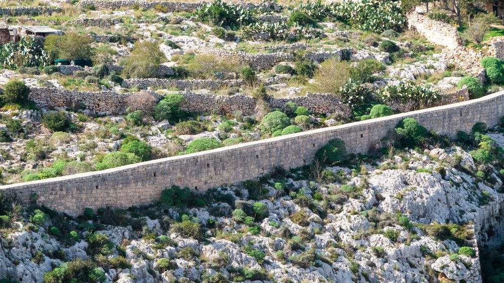
A walk along the old defensive wall that crosses Malta on its escarpment, with the north of the island spread below.
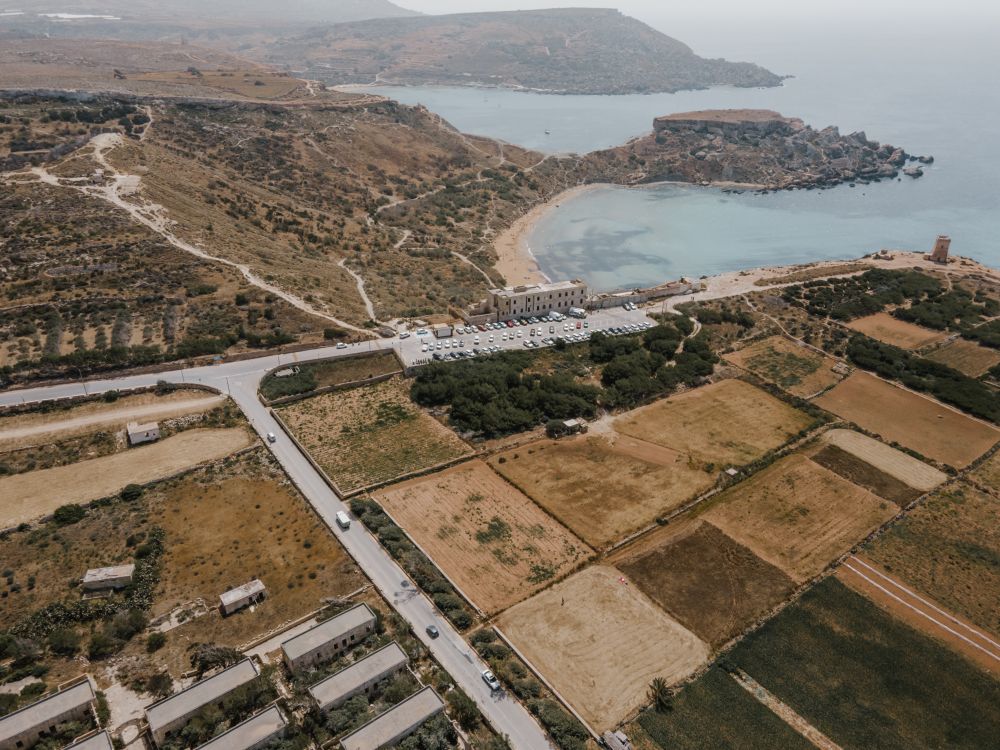
The protected cliffs above Golden Bay, walked north past two old towers and a swimming cove to Anchor Bay.
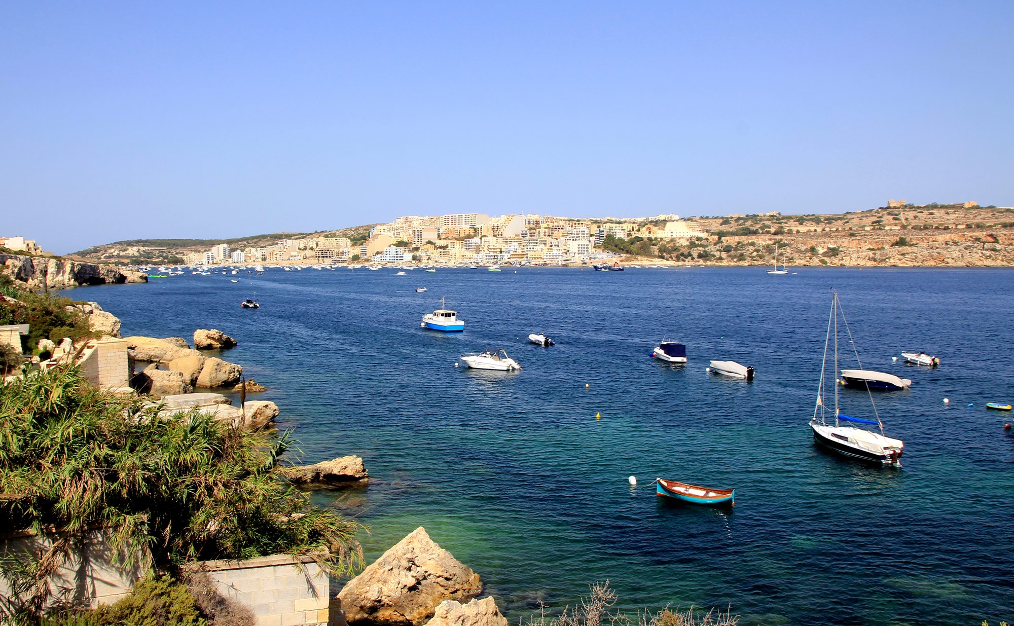
Two thousand years of Maltese country life on the low hill above Xemxija Bay, the sites a few minutes apart.
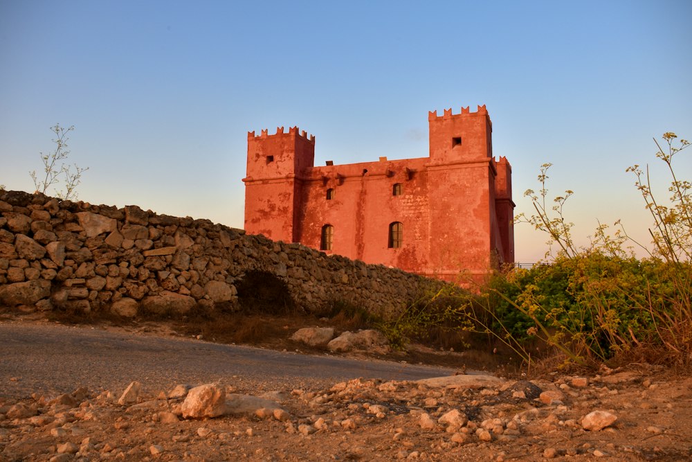
Round the whole Marfa peninsula from the Red Tower, with Comino and Gozo in view and a swim at Paradise Bay.
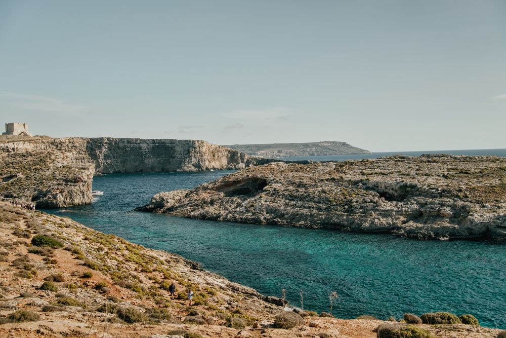
Round the island along the south cliffs, then back to the Blue Lagoon for a swim.
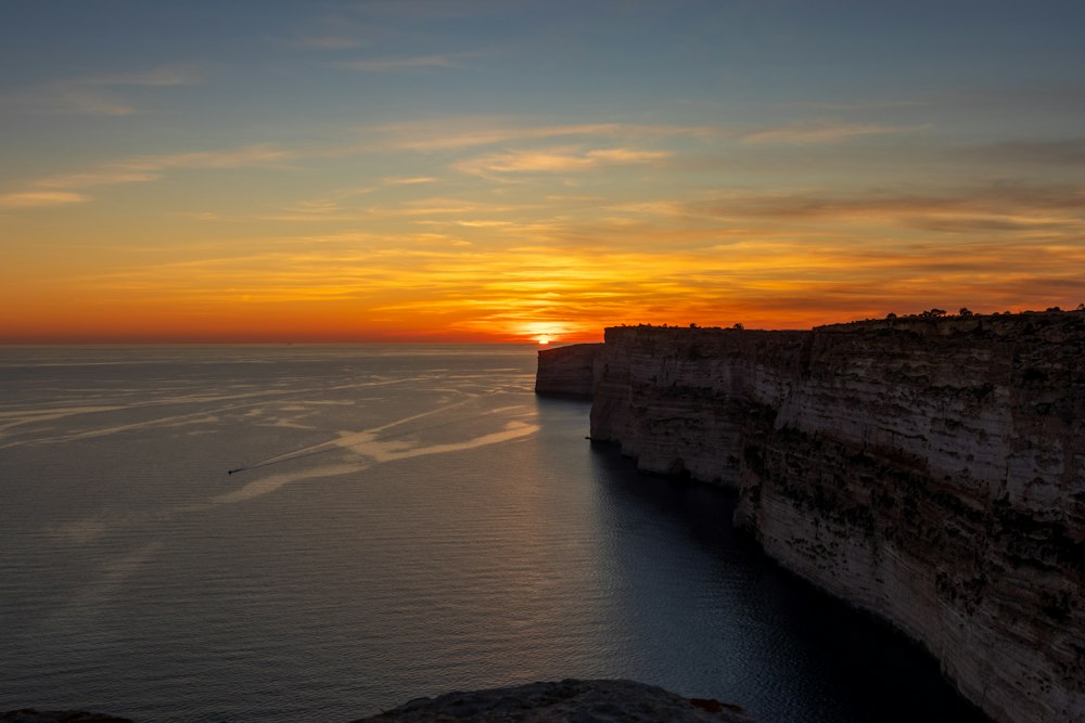
Gozo's tallest sea cliffs, walked from Sannat down to a swimming inlet.
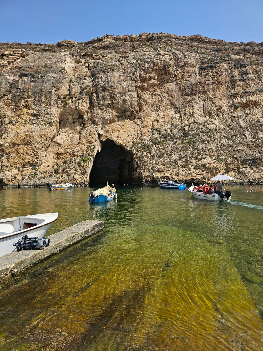
West Gozo's open cliff tops from Xlendi Bay to Fungus Rock, with the Inland Sea at the end.
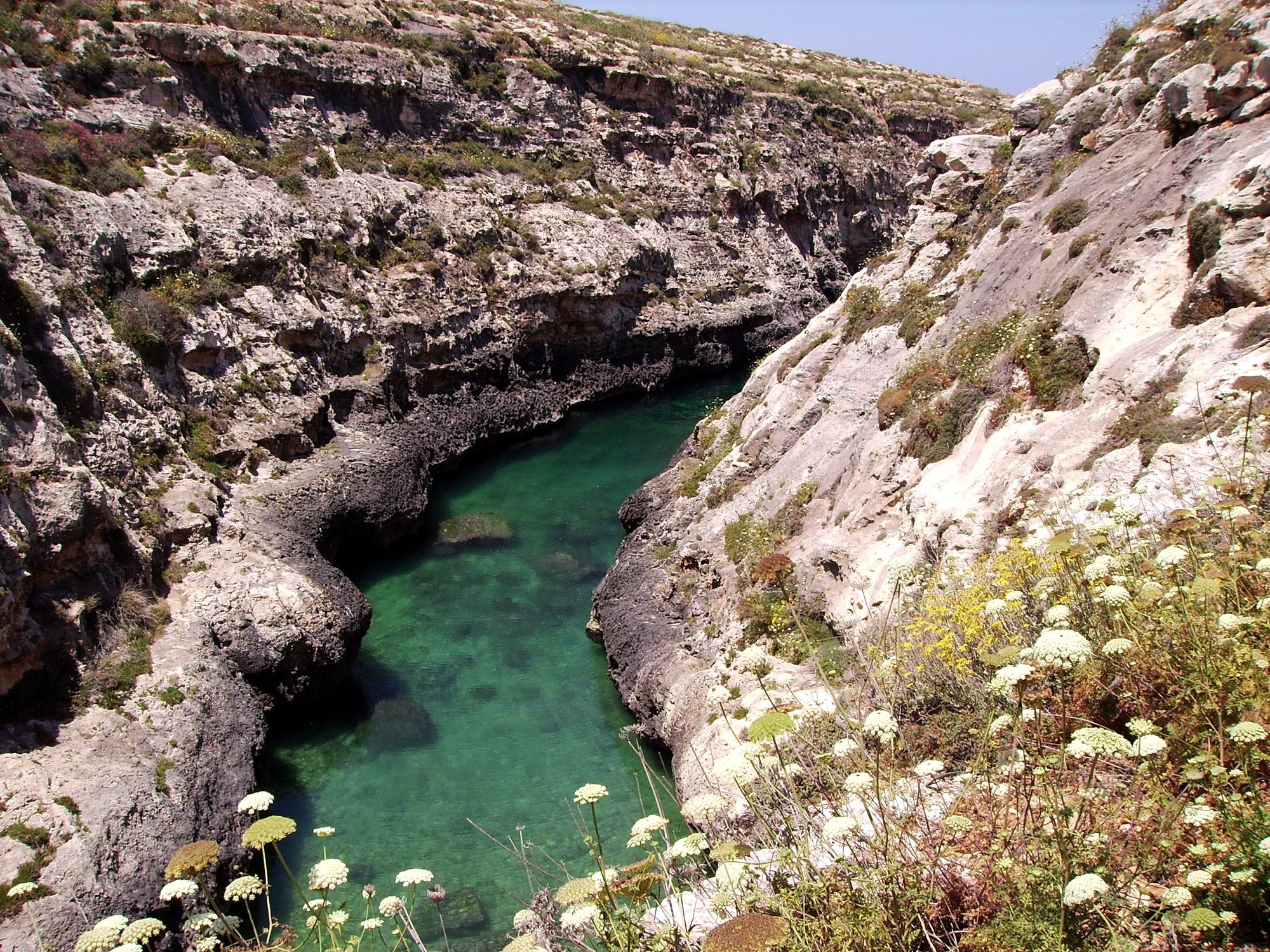
Gozo's north shore from Marsalforn, across the salt pans to a narrow sea gorge and its pebble cove.
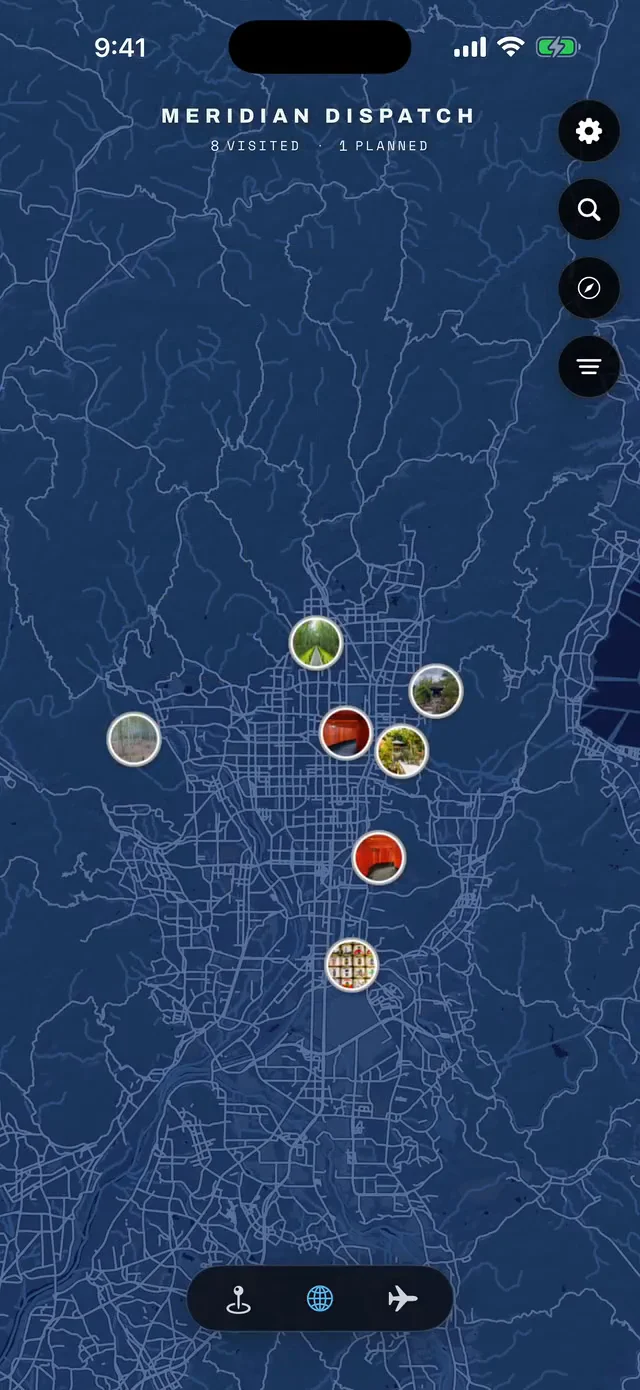



Save Dingli Cliffs to your Malta trip in the Meridian Dispatch app and build the day around it, with the best of Rabat pinned on one map.
Download on the App StoreLast updated