 Submit a photo
Ninety seconds on Sanap Cliffs
About 120 m above sea level. The walk from Xlendi Bay starts close to the water, so most of the effort on the way out is the climb to the top. Wear comfortable shoes.
Route 302 runs from Victoria to Xlendi, where the coastal walk begins. For Munxar village, the other start, one travel guide gives routes 305 and 306 from Victoria.
Yes. Xlendi is reachable by car from Victoria, but parking near the cliffs is limited. Buses also run from Victoria to both Xlendi and Munxar village, the two starts for the walk.
Yes. Gozo's tourism authority names the Xlendi Walk among the island's notable trails, with panoramic views over the Ta' Ċenċ Cliffs and the Sanap Cliffs.
The full Xlendi Walk runs 12 km from Mġarr Harbour to Xlendi and is graded moderate, partly along the clifftop. The official guide recommends walking it from October to May.
RTO stands for Reserved To Owner, and it usually marks privately owned land. Small stone huts along the route, called dura, are used by bird hunters or trappers, so walkers should stay on the paths.
Past Xlendi's watchtower, a coastal track takes you out to the Sanap Cliffs, part of the long, high cliff line on Gozo's southern shore, with rock shaped by wind and waves.
The whole stretch is often called the Ta' Ċenċ Cliffs. Over thousands of years the sea and weather have carved the limestone into unusual formations, so watch the rock faces from the track as well as the water below.
The cliffs are noted for their wildlife as much as their geology. This coastline is a recognized Important Bird Area, and spring is the season for birdwatching, so pack binoculars if you come in those months.
Autumn suits photography and watching the sunset from the top of the cliffs. In winter, come for storm watching on the cliff walks; summer turns this part of the coast over to swimming and diving instead.
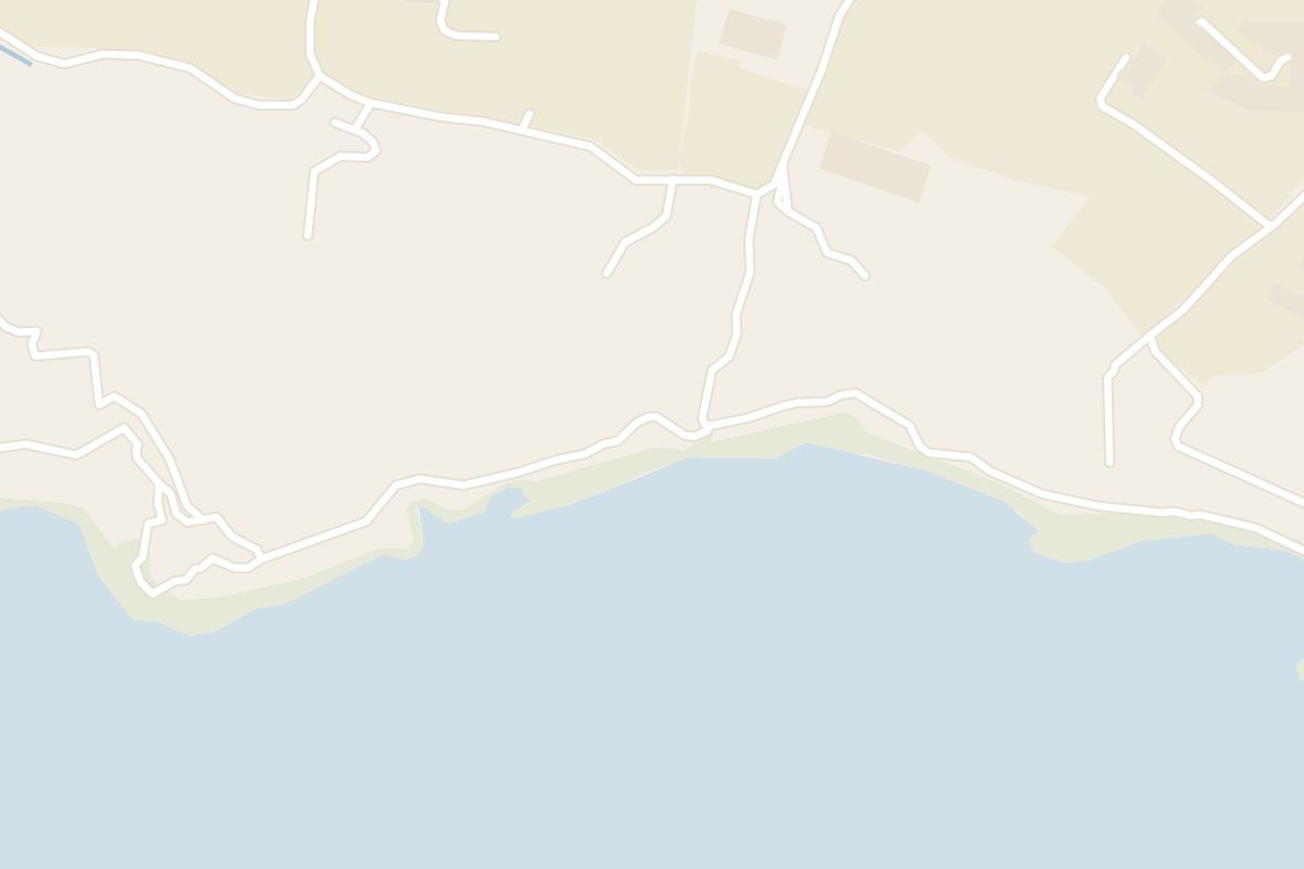
Two starts lead to the cliffs. From Xlendi Bay, walk out to Xlendi Tower on the headland, the oldest free-standing coastal watchtower in Gozo, then follow the coastal track southeast to the Sanap Cliffs viewpoint.
The other start is Munxar village, 15 to 20 minutes away on foot. From the bus stop there, the Munxar heritage trail reaches the viewpoint after about 1.25 km.
Past the viewpoint, the same trail carries on to the gorge at the Xlendi Cliffs, 2.18 km from the start. That stretch mixes scrambling, uphill walking and steps cut into the rock.
Food and drink are limited at the cliffs, so bring water and snacks from Xlendi or Munxar.
Hiking guides advise against the cliff paths on rainy or windy days. One guide gives February as the windiest month, with most rain from October to March.
Explore the rest of Xlendi
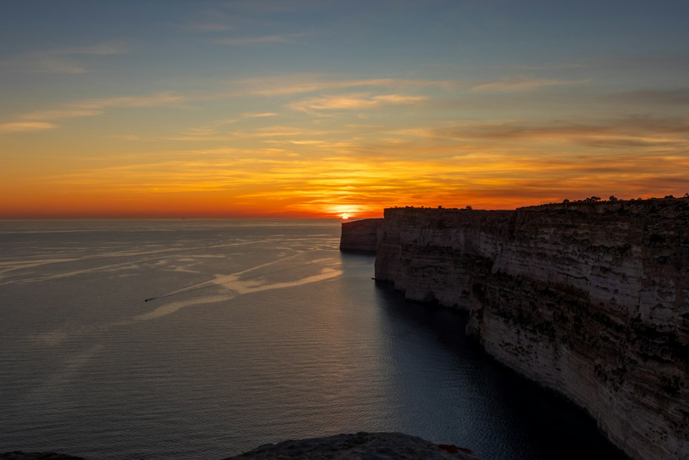
Sheer limestone cliffs over 100 metres high run along the south coast near Sannat, among the highest on the Maltese islands. A walking path…
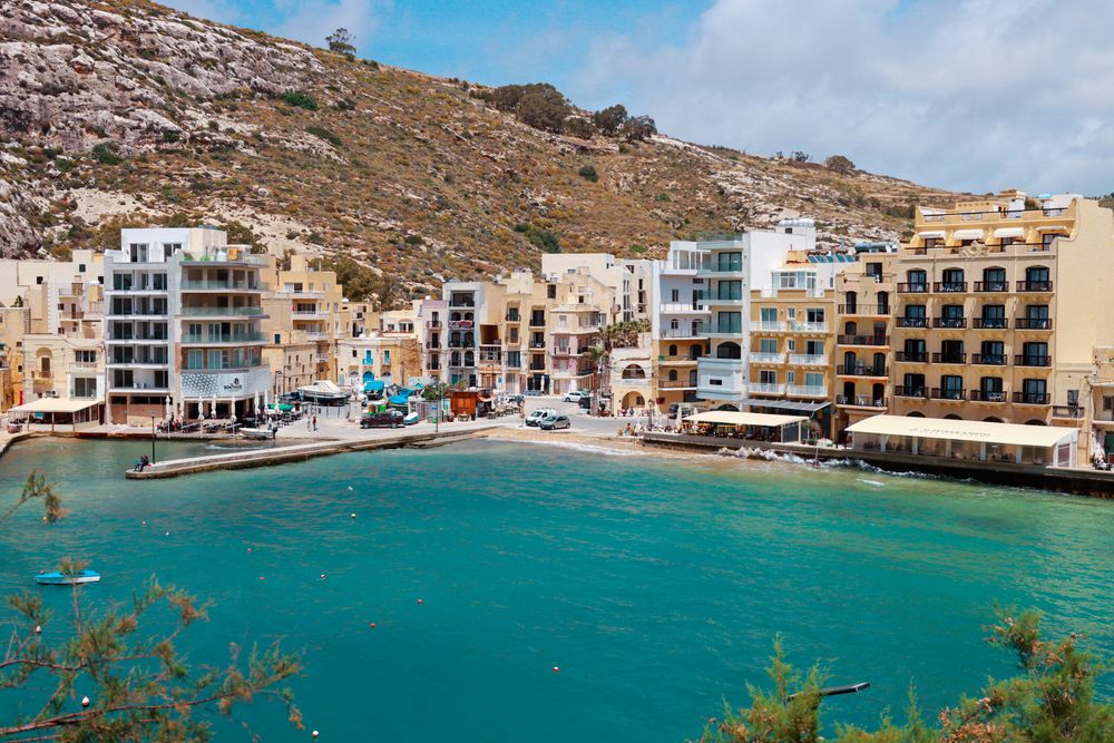
Steep cliffs close in around this narrow bay at the end of a valley, with a small sandy beach at its head and a promenade of restaurants…

An 18-room hotel, 3 of them suites, in a converted farmhouse in Xlendi Valley on Gozo, up the valley from Xlendi Bay. Lifts serve every…

Gozo's capital stands mid-island, with its main bus terminal and the walled Cittadella. Buses leave the terminal for destinations across…
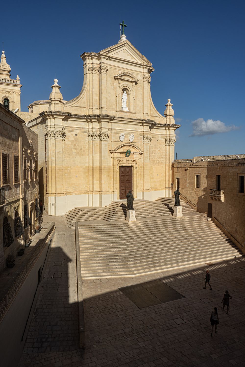
Look up inside: the cathedral has no real dome, and a painter turned the flat ceiling into a convincing one in perspective. The church…

Walls ring the top of a hill in the middle of Gozo, and the walk along the ramparts looks over almost the whole island. Entry to the walled…

Visible from most of Gozo, this huge dome rises over Xewkija on the road between Victoria and the Mġarr ferry. The round nave inside is…
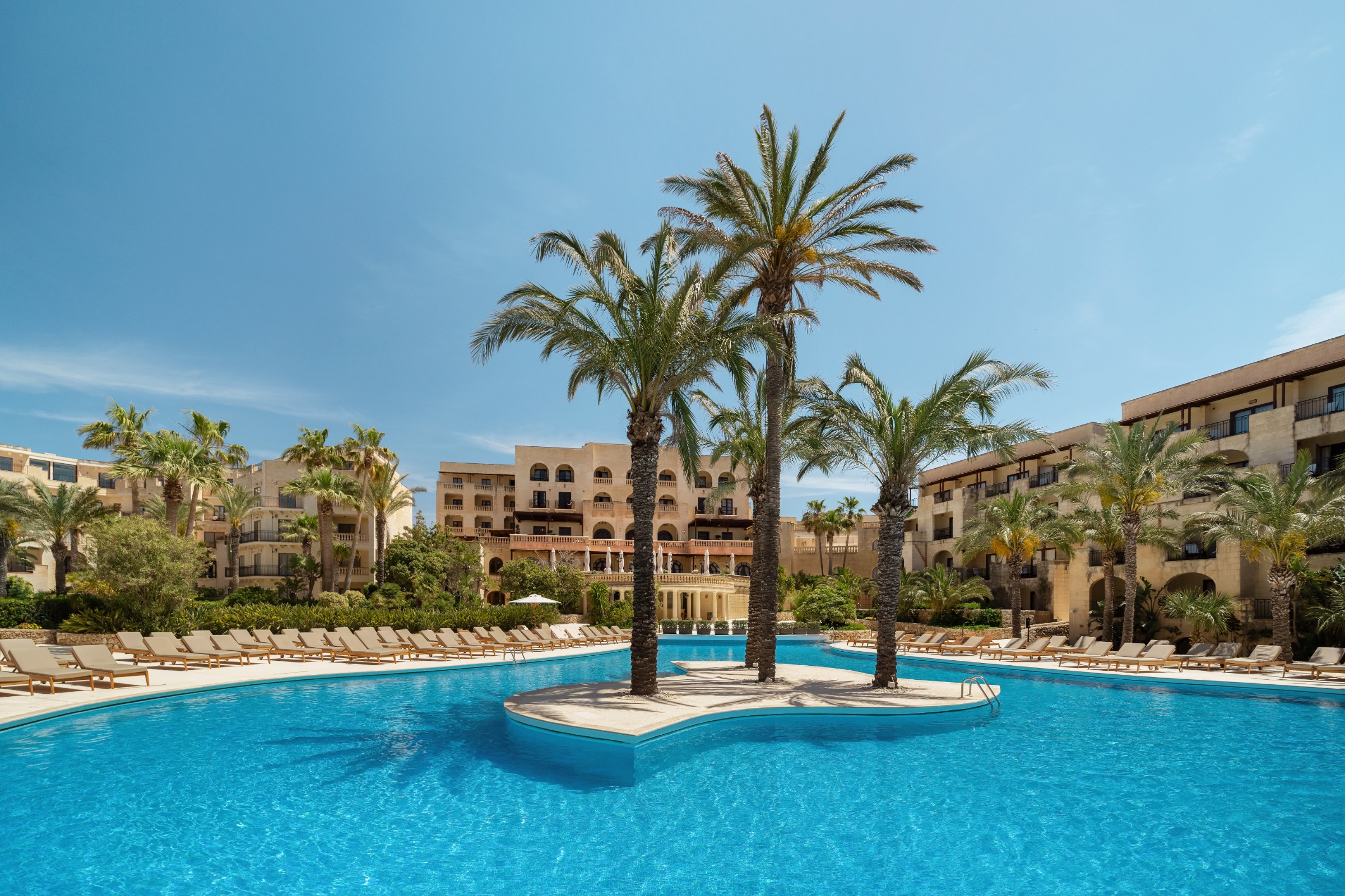
In San Lawrenz in the west of Gozo, near Dwejra Bay, this resort hotel stands in semi-tropical gardens. Rooms use traditional Gozitan stone…
Last updated