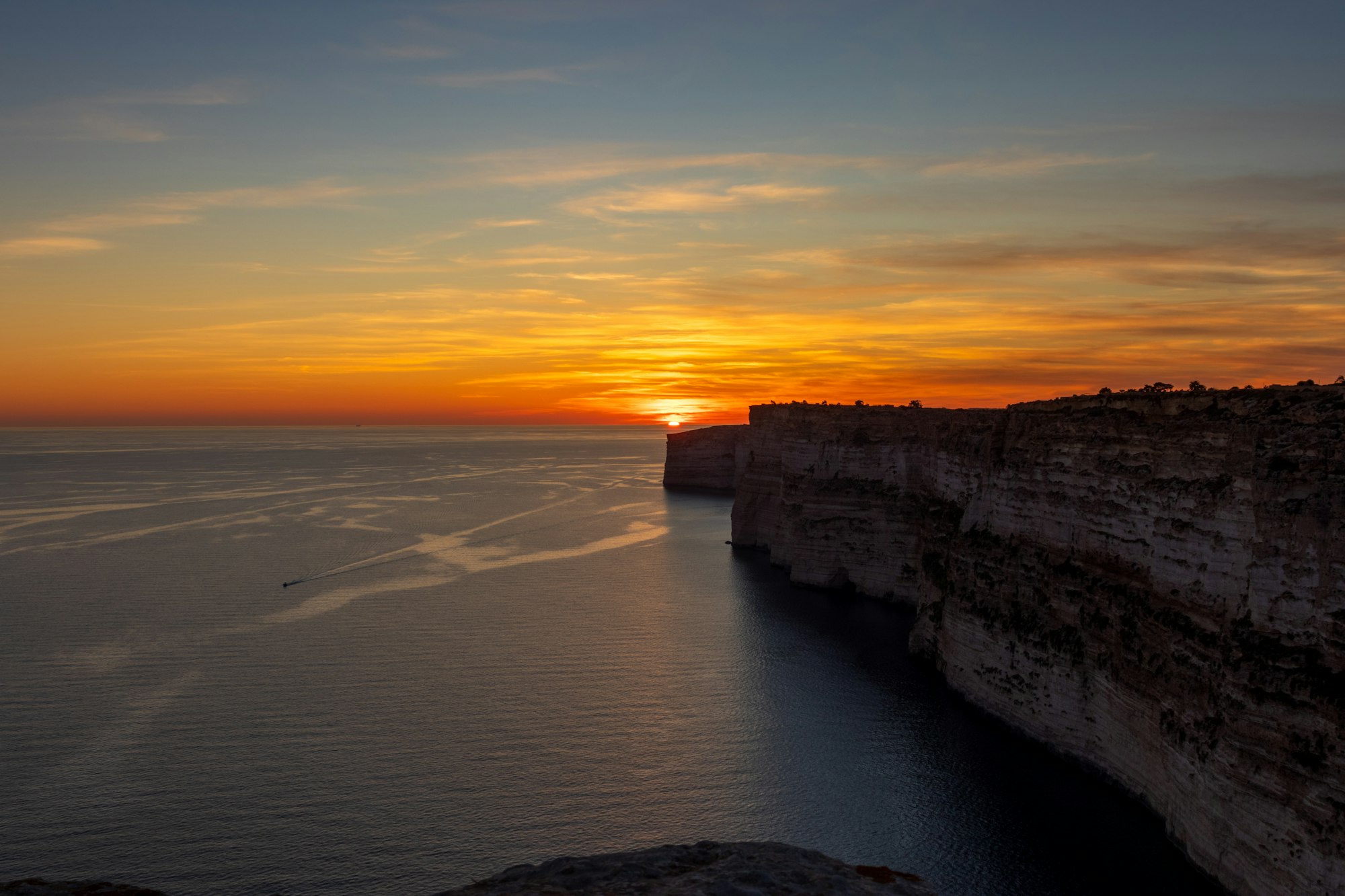
Take the 305 bus to Sannat and you can walk Gozo's tallest sea cliffs down to a swimming inlet in about two hours.
Hike, Xlendi. Meridian Dispatch.
They are the highest cliffs in Gozo, according to the island's official tourism site. The official Xlendi Walk guide gives heights of over 140 metres above sea level along this stretch of the south coast.
Route 305 runs from Victoria to Ta' Sannat and back, with a stop named Ċenċ at the edge of the plateau. Buses leave Victoria about hourly; check the live timetable before setting out.
From October to May, the walking season the official walk guide recommends for this coast. Spring brings orchids, sand crocus and iris to the cliff tops, and autumn brings meadow saffron.
It is safe for careful walkers who keep away from the edge, which is the first rule of the official countryside code for this route. The same guide advises a safe distance from the cliffs in very strong wind or wild seas, and sun protection in every season.
The plateau holds sparse remnants of L-Imramma Temple and three dolmens, each a roughly shaped limestone slab supported on blocks standing on end. Cart ruts, parallel grooves cut into the rock, cross the plateau above the cliffs.
Yes. The inlet where the walk finishes is popular with swimmers and divers, and its sheltered location and shallow water make it calm on most days. A renovated path joins the bay to the watchtower.
In summer, yes. On moonless nights hundreds of Scopoli's shearwaters return from a day fishing at sea to nest in the cracks of the cliffs between Ta' Ċenċ and Xlendi, and their calls carry along the cliff top after dark.
Not in the valleys. Rain is scarce on Gozo but sometimes falls in heavy downpours that cause flash floods, and the official walk guide advises against walking in valleys during or just after heavy rain. That includes the steep valley the walk follows down to the sea.
Sannat to the sea at Mġarr ix-Xini.
About 5.4 km, Sannat bus stop to the head of the inlet. Above the inlet the route crosses about 180 m of open ground with no marked path; head due north, away from the sea, to the track.
The walk starts in Ta' Sannat and crosses the Ta' Ċenċ plateau on the edge of the village, a flat, open top of low scrub and bare rock. The plateau ends at sheer cliffs that drop straight into the sea.
Prehistoric remains lie scattered across the top. The dolmen and the cart ruts lie just off the track in the first two kilometres; the stops on the map mark them.
At Irdum ta' Ċenċ the track meets the edge, with a view along the south coast.
In autumn the thin soil on the plateau flowers with meadow saffron and autumn narcissus, and early spring brings sand crocus, iris and orchids. Walk in late May and you may also see the Maltese rock centaury, the national plant, flowering in the rock cracks.
The last stretch follows lower cliffs east and drops to Mġarr ix-Xini, a sheltered inlet at the foot of a steep-sided valley. Its water is shallow, good for a swim at the end of the walk.
The first kilometre rises gently on village lanes to the plateau at about 140 m, the main climb of the walk. From there farm lanes and a pebble track run across the flat top to the cliff edge.
From Irdum ta' Ċenċ farm tracks run about 2 km east along the top before dropping to a narrow footway along the lower cliffs. At the inlet a narrow lane and track wind down to the shore.
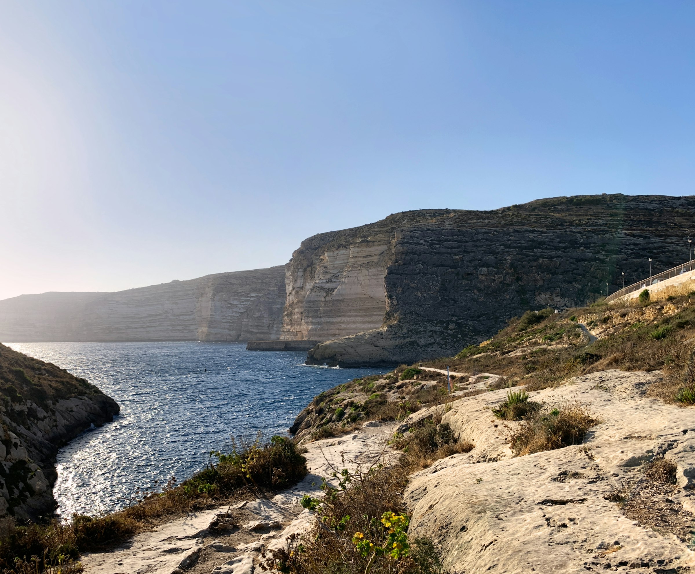
Swim off the rocks in a narrow bay walled by cliffs, walk out to the watchtower on the point, and eat on the waterfront after sunset.
Read the Xlendi guideEight more walks on Malta, Comino and Gozo
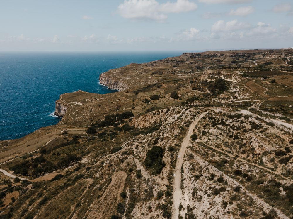
Malta's highest sea cliffs, from Dingli village to the chapel on the edge, then inland past the cart ruts to Buskett.
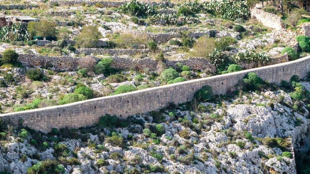
A walk along the old defensive wall that crosses Malta on its escarpment, with the north of the island spread below.
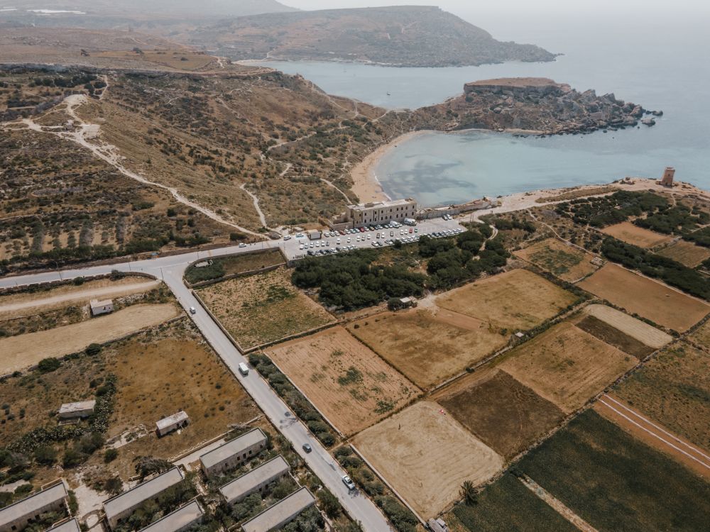
The protected cliffs above Golden Bay, walked north past two old towers and a swimming cove to Anchor Bay.
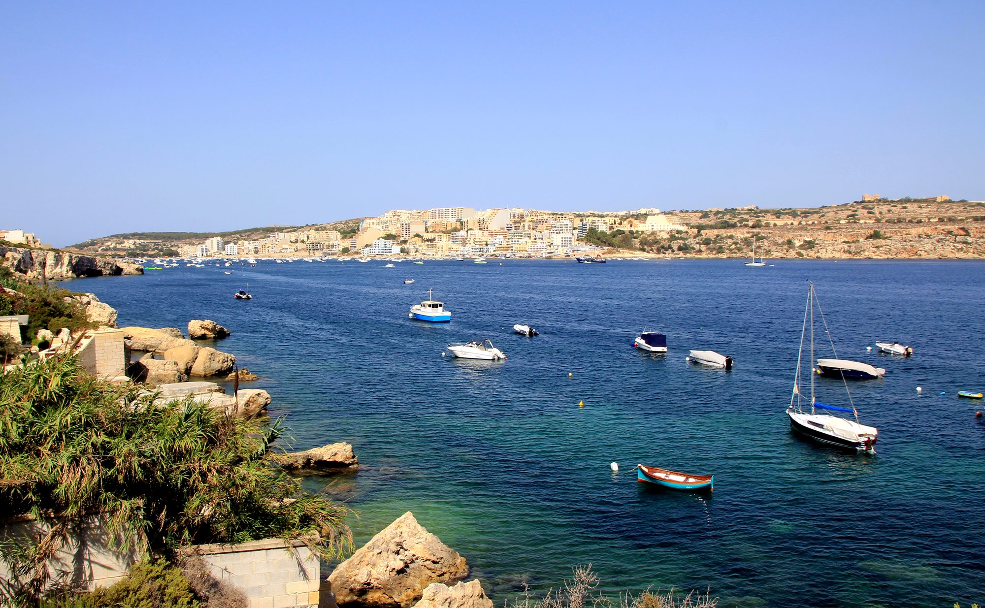
Two thousand years of Maltese country life on the low hill above Xemxija Bay, the sites a few minutes apart.
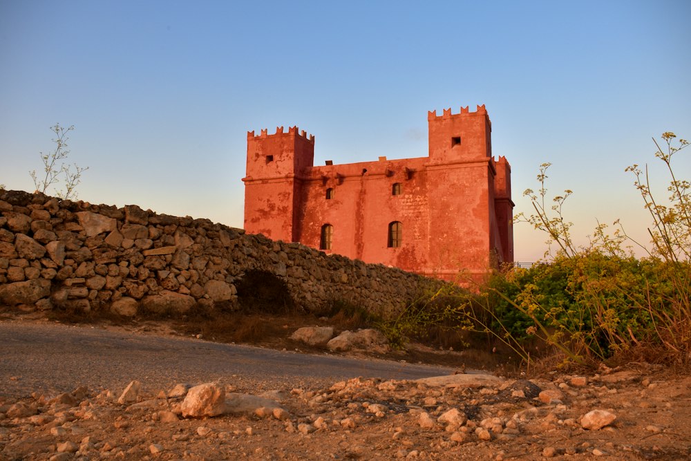
Round the whole Marfa peninsula from the Red Tower, with Comino and Gozo in view and a swim at Paradise Bay.
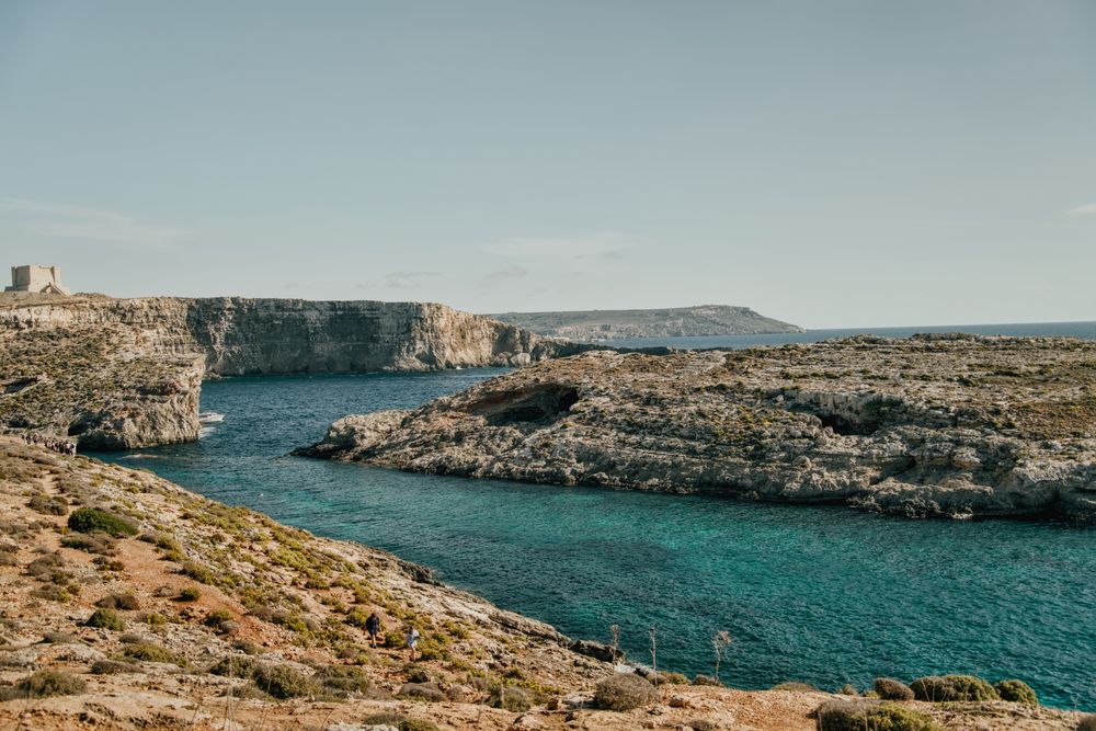
Round the island along the south cliffs, then back to the Blue Lagoon for a swim.
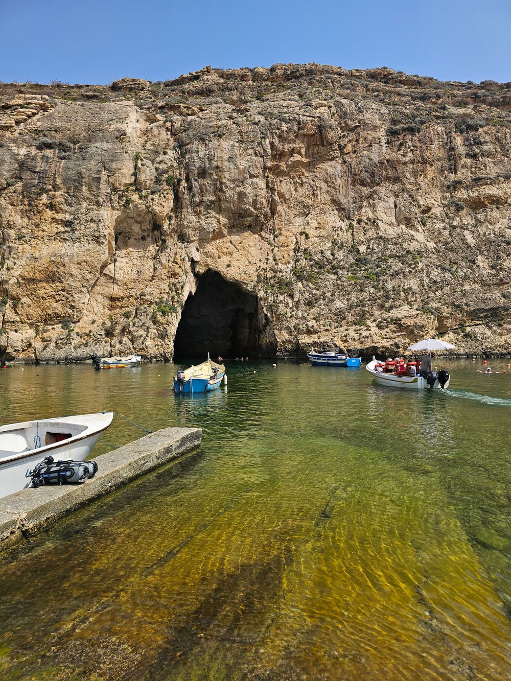
West Gozo's open cliff tops from Xlendi Bay to Fungus Rock, with the Inland Sea at the end.
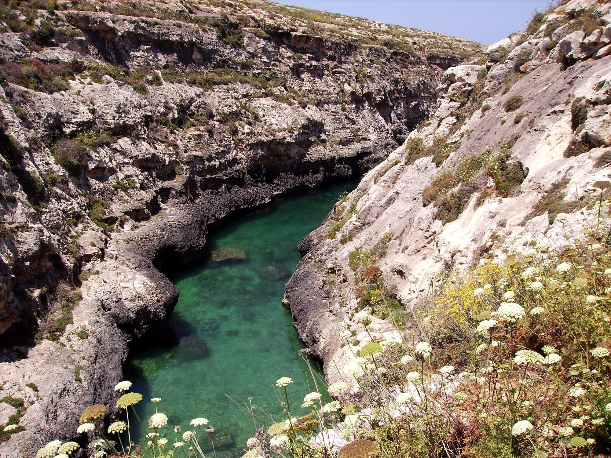
Gozo's north shore from Marsalforn, across the salt pans to a narrow sea gorge and its pebble cove.
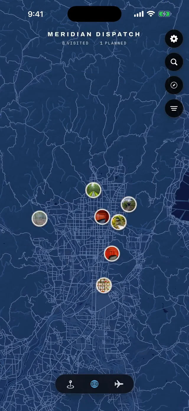



Save Ta' Ċenċ Cliffs to your Malta trip in the Meridian Dispatch app and build the day around it, with the best of Xlendi pinned on one map.
Download on the App StoreLast updated