 21 min from the bay
Ta' Ċenċ Cliffs
Take the 305 bus to Sannat and you can walk Gozo's tallest sea cliffs down to a swimming inlet in about two hours.
Read the guide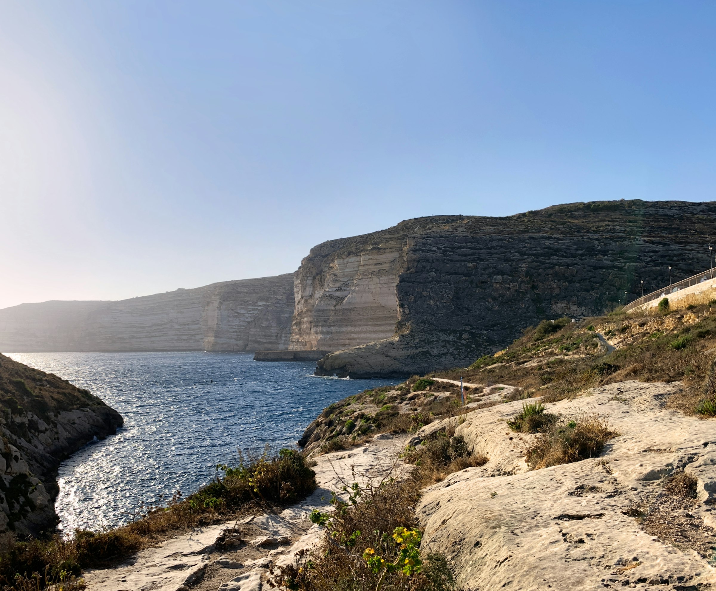
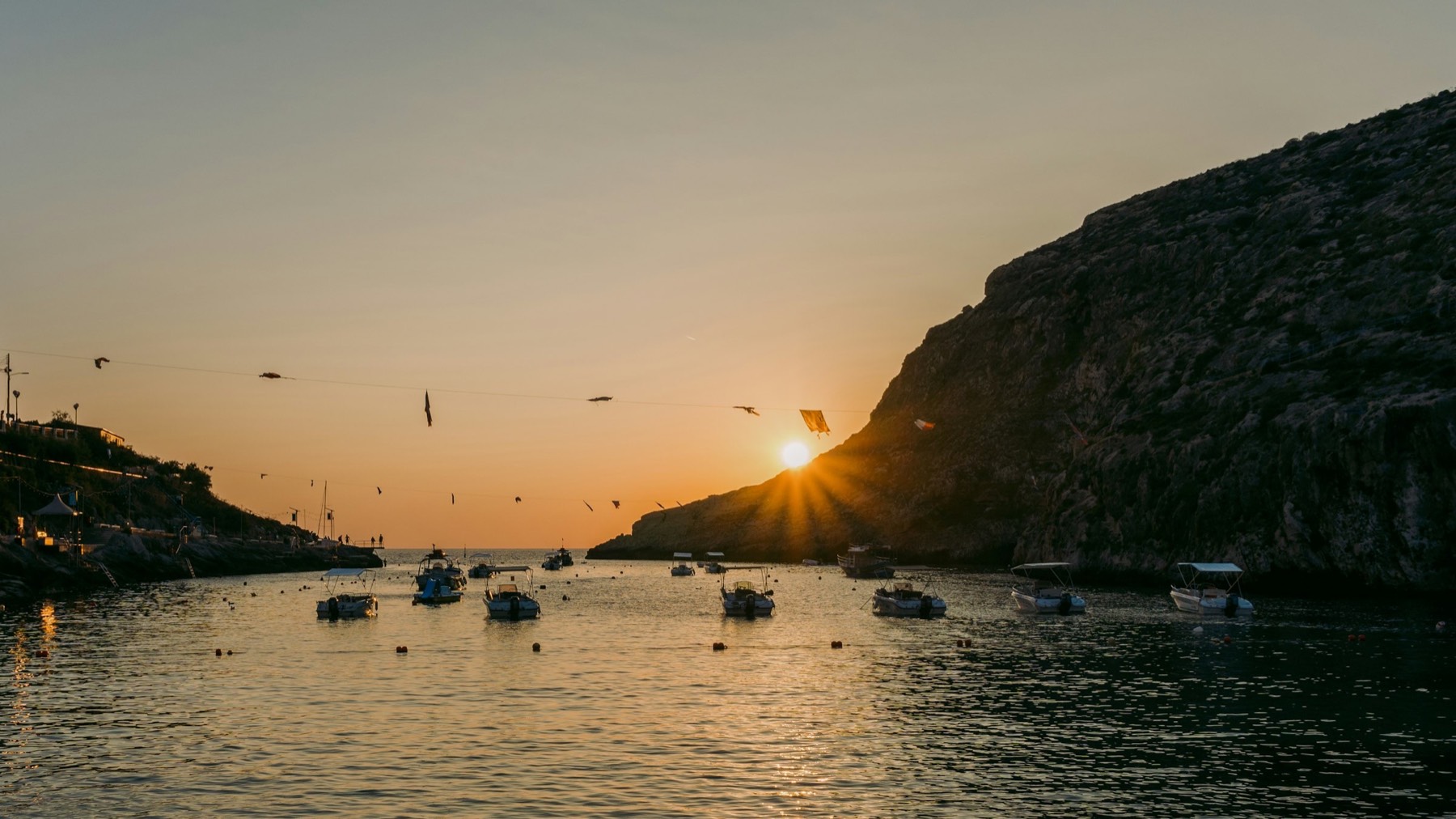
Swim off the rocks in a narrow bay walled by cliffs, walk out to the watchtower on the point, and eat on the waterfront after sunset.
Town guide, Malta. Meridian Dispatch.
Ninety seconds on Xlendi
Two Malta Public Transport buses make the trip. Route 301 starts at Mġarr harbour, at the Vapur stop, and ends at Bay 1 of the Victoria bus terminal. From Bay 5 there, route 306 carries on to Xlendi. The two stops are separate, so the change involves a walk.
Yes, though small: sand and pebbles at the head of the bay. Much of the popular swimming area is entered from rocks, steps or ladders instead.
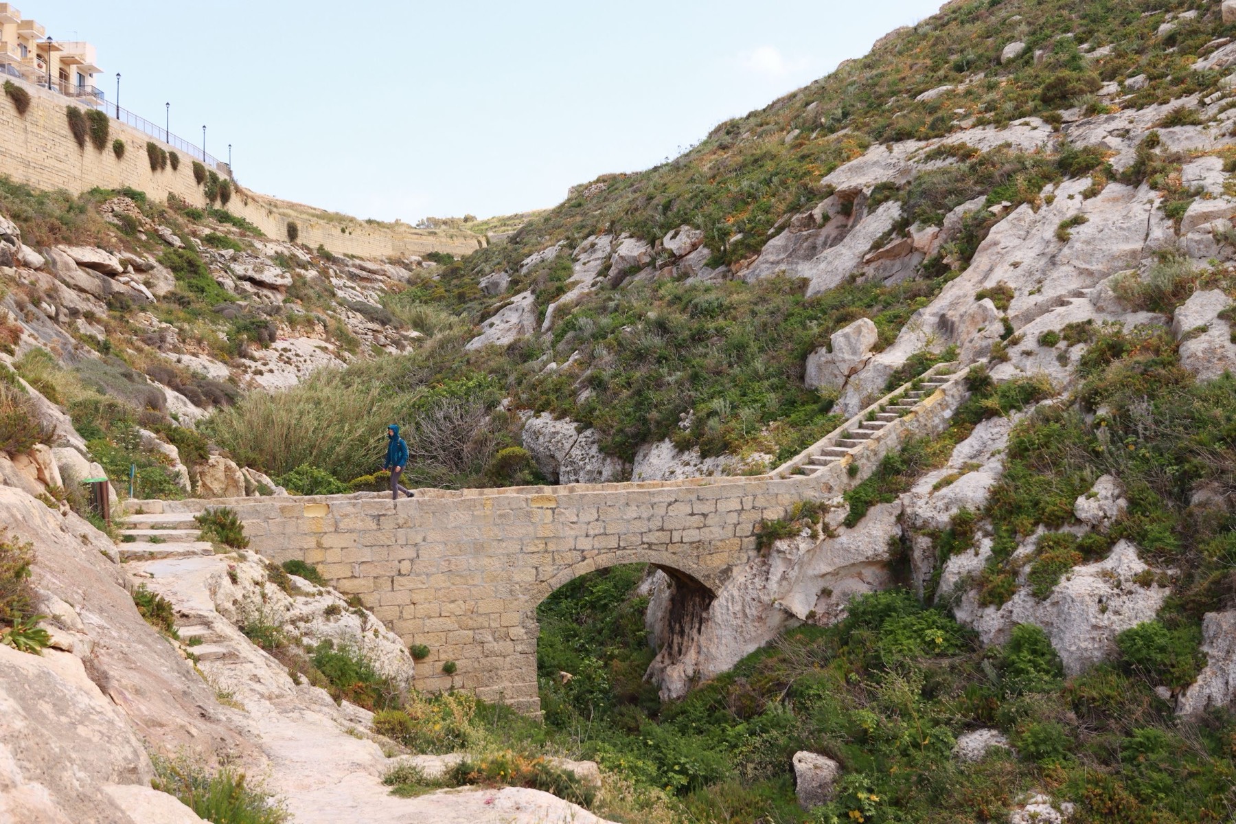
Yes. From Xlendi Bay, the route crosses the bridge towards the headland crowned by the tower and follows the coast; a country lane from Munxar is the other way up. Late afternoon suits the walk, because the cliffs are a sunset spot.
Xlendi Bay has several dive centres for beginners and experienced divers. Ta' Ċenċ is a separate site near Sannat, at the base of the cliffs, and it is for experienced divers.
The Xlendi village feast falls on the first Sunday of September each year. Swimming, paddle boat and kayak races take place in the bay.
Route TD1 runs from Malta International Airport, MLA, to Ċirkewwa, and tickets are sold on board. The Gozo Channel ferry then crosses to Mġarr in about 25 minutes, and routes 301 and 306 finish the journey by way of Victoria.
Stay in Xlendi if your days are swimming and cliff walks; for the rest of Gozo you change buses in Victoria.
See all towns in MaltaCompare Malta town by town
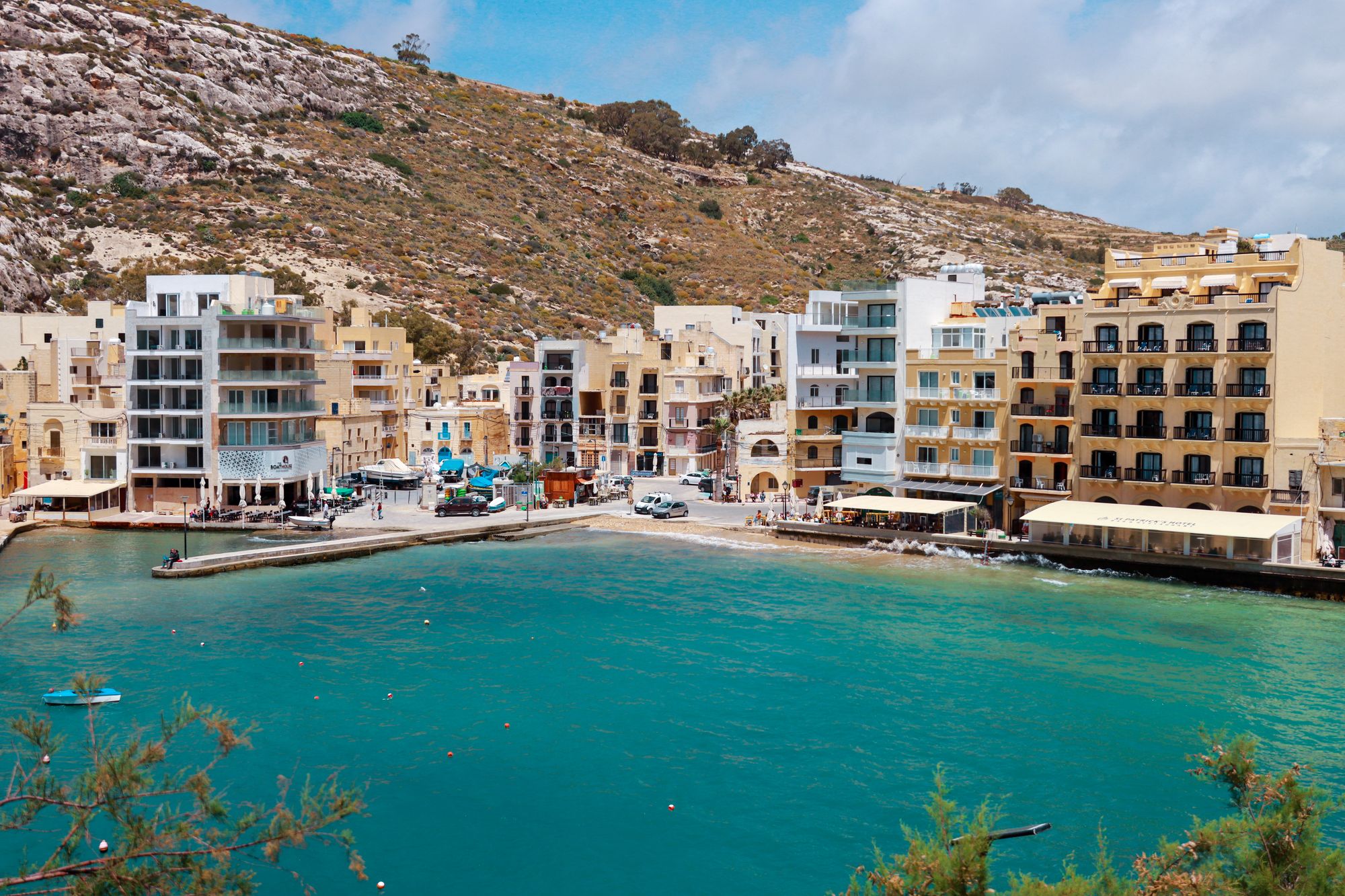
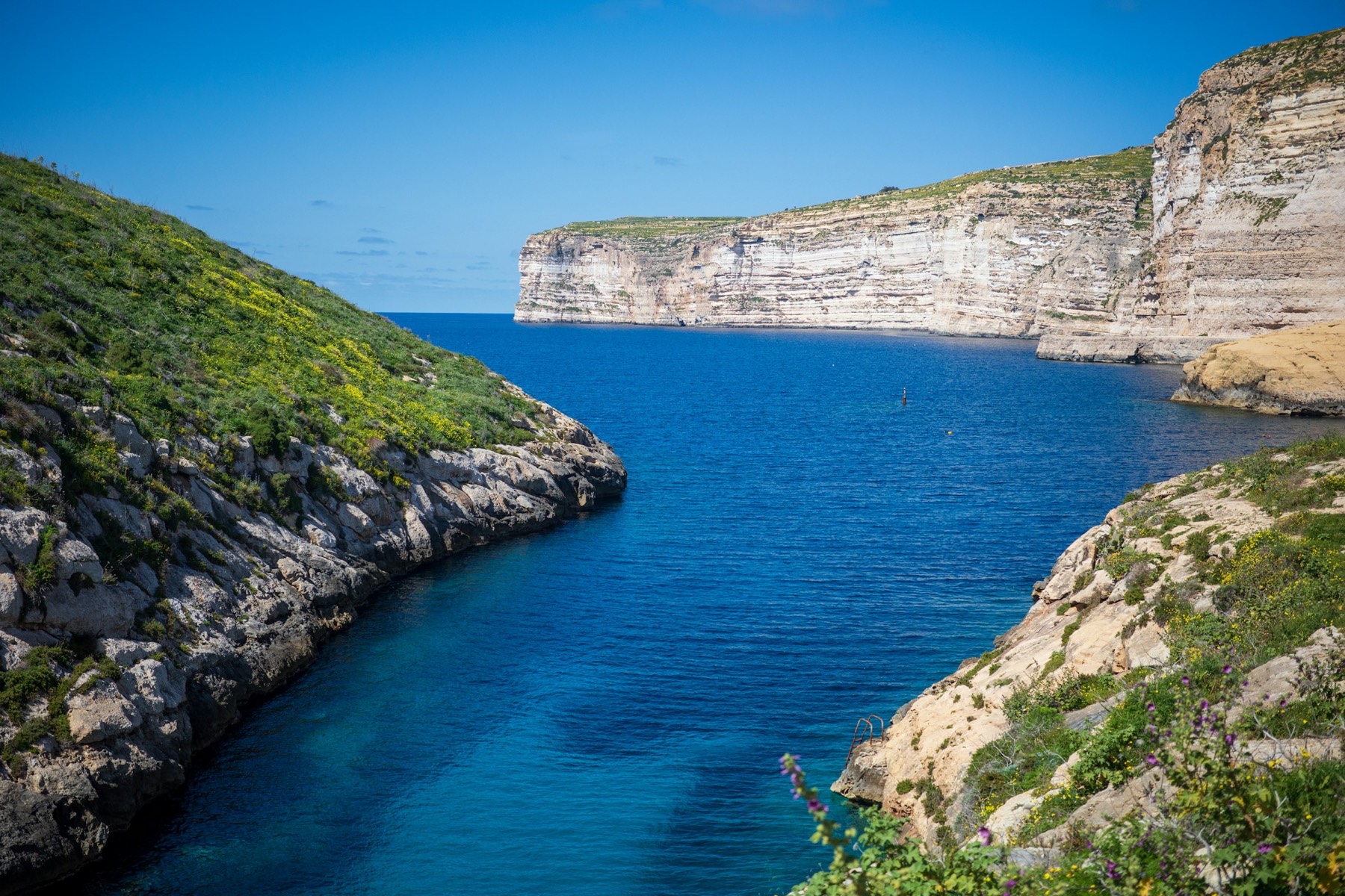
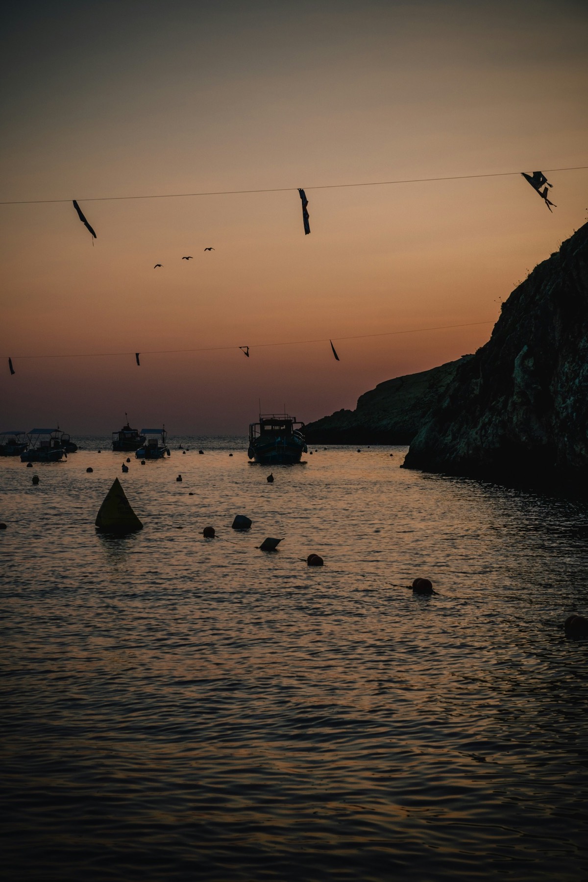
Xlendi is a small resort at the end of a valley on Gozo's south-west coast, where the cliffs close in around a narrow bay. The coast path climbs out of it both ways: west towards Dwejra, and east over the Sanap and Ta' Ċenċ cliffs.
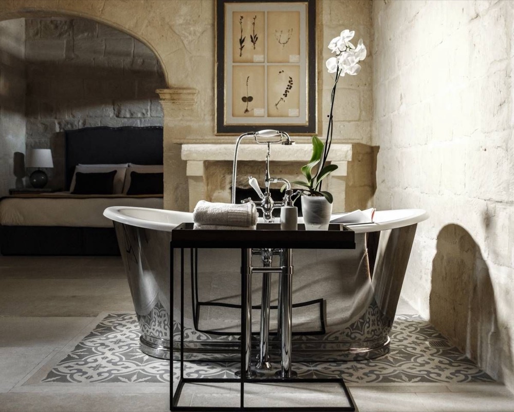
Cesca is a converted farmhouse with an infinity pool, up Xlendi Valley about 20 minutes' walk above the bay.
Grouped by what each place is best for, from the water in the bay to the cliff paths on either side of it.
The bay, the cave and the tower are a few minutes' walk apart. The cliff paths start at either end of the waterfront, and Mġarr ix-Xini is a short drive east by way of Sannat.
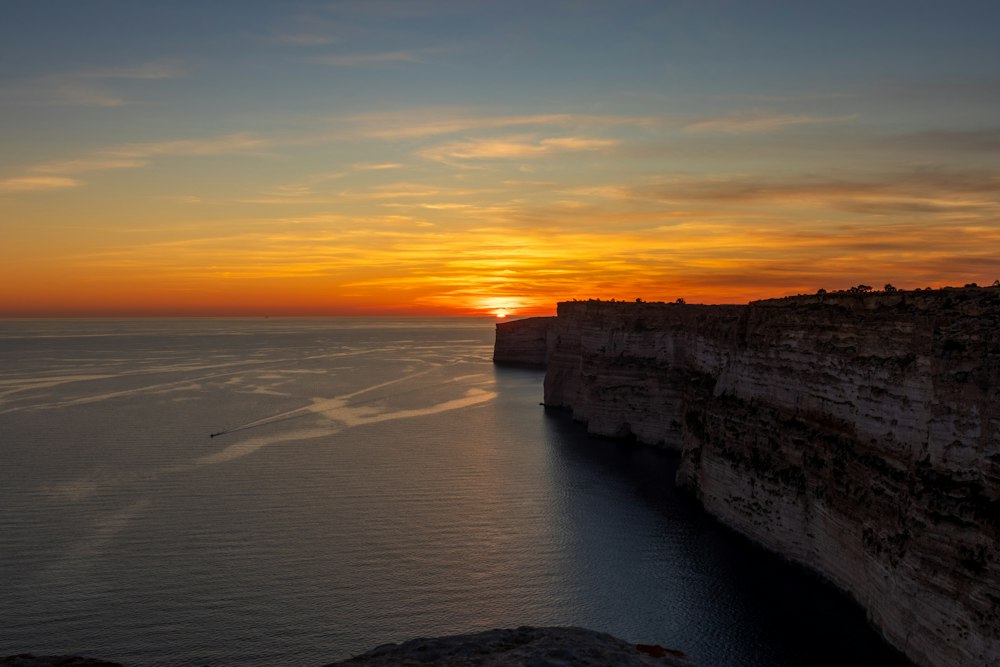
Take the 305 bus to Sannat and you can walk Gozo's tallest sea cliffs down to a swimming inlet in about two hours.
Read the guide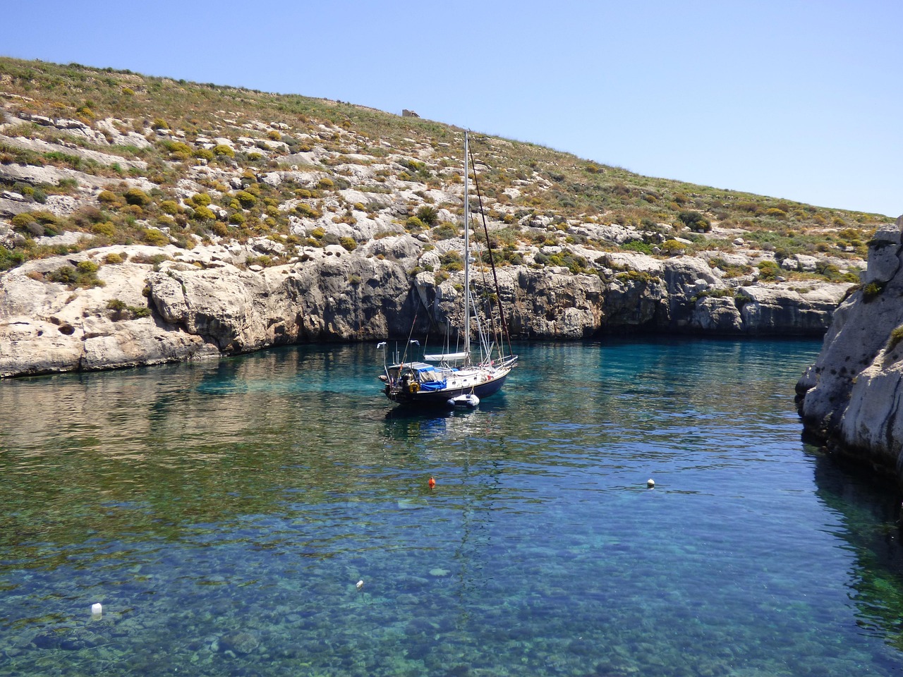
Snorkel off a pebble shore at the end of a narrow Gozo road, then walk to the largest watchtower the Knights built on the island.
Read the guide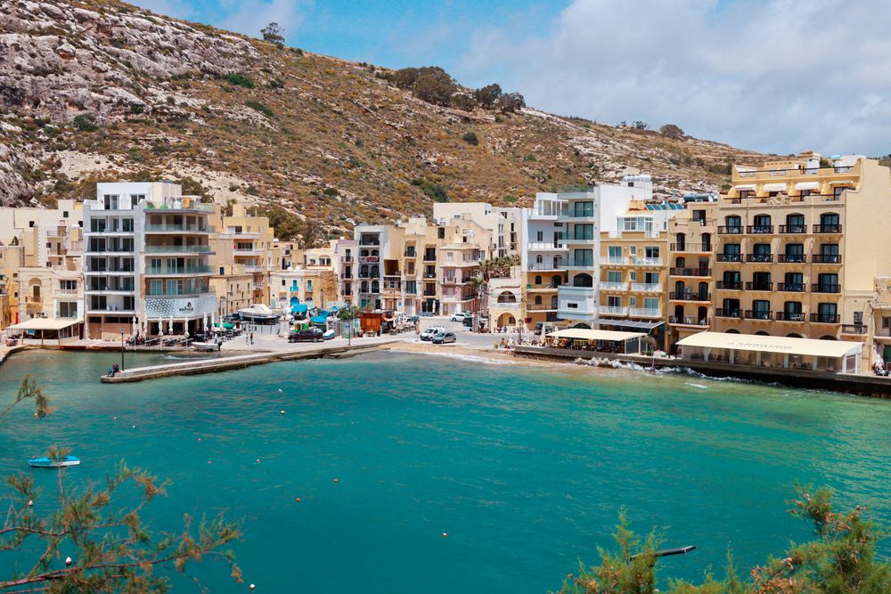
Xlendi Bay gives you clear water and caves to snorkel inside a narrow, cliff-walled inlet, with a watchtower on the point to walk out to afterwards.
Read the guide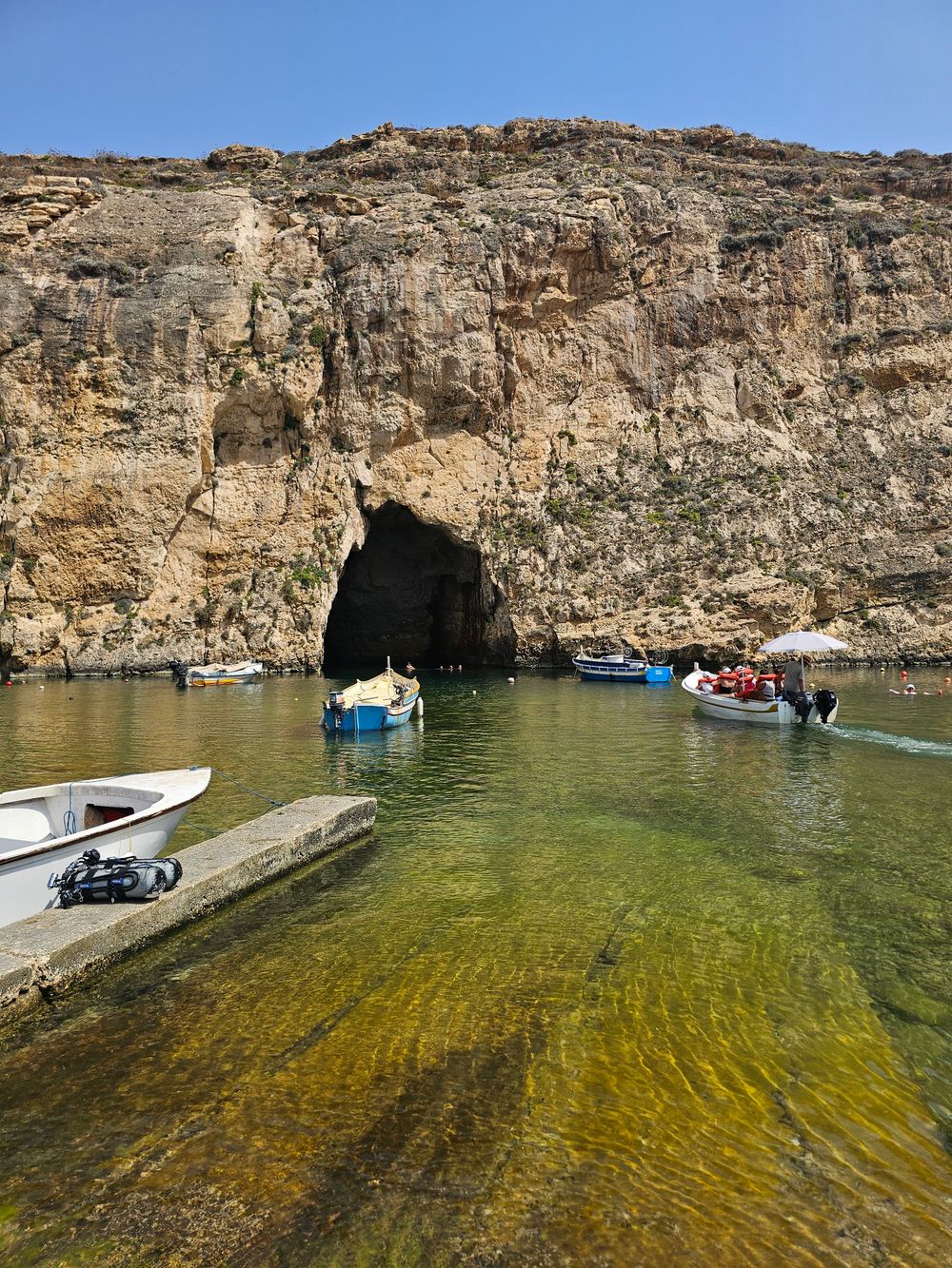
Walk the open cliff tops of west Gozo from Xlendi Bay to Fungus Rock in an afternoon, with the Inland Sea waiting at the end. It is six and a half kilometres one way, high above the sea for most of it.
Read the guideA squat watchtower on the point at the mouth of the bay, about ten minutes from the bridge on a rock-cut path. The rock is uneven and has no rail, and you see the tower from outside.
Read the guideA watchtower on the eastern cliff at the mouth of the inlet, reached by a short, steep footpath with no shade. The path is open at all times, and the tower is seen from outside.
Read the guidePast Xlendi's watchtower, a coastal track takes you out to the Sanap Cliffs, part of the long, high cliff line on Gozo's southern shore, with rock shaped by wind and waves.
Read the guideA sea grotto at the foot of steep steps beyond the statue of St Andrew, given to the Augustinian Sisters as their bathing place. Go on a calm day; a handrail runs along the path.
The low stone remains of a temple-period building on the Ta' Ċenċ plateau above Sannat, with cart ruts and a dolmen close by. Wear sturdy shoes on the rocky ground.
About 3 km of rock wall west of the bay, rising to 105 metres before Wardija Point. Shearwaters breed on the ledges; keep back from the edge in wind.
One of the oldest chapels on Gozo, from around 1540, in open country near Xewkija. It and the tower beside it, a private home, are seen from outside.
A small beach of sand and pebble lies at the head of the bay, below the waterfront. A rock-cut path leads round to the watchtower on the point.
Xlendi Bay gives you clear water and caves to snorkel inside a narrow, cliff-walled inlet, with a watchtower on the point to walk out to afterwards.
Read the guideA squat watchtower on the point at the mouth of the bay, about ten minutes from the bridge on a rock-cut path. The rock is uneven and has no rail, and you see the tower from outside.
Read the guideA sea grotto at the foot of steep steps beyond the statue of St Andrew, given to the Augustinian Sisters as their bathing place. Go on a calm day; a handrail runs along the path.
Most of the swimming here is off rocks, steps and ladders. Mġarr ix-Xini, a short drive east, is the calm-water alternative when the wind blows into the bay.
Snorkel off a pebble shore at the end of a narrow Gozo road, then walk to the largest watchtower the Knights built on the island.
Read the guideXlendi Bay gives you clear water and caves to snorkel inside a narrow, cliff-walled inlet, with a watchtower on the point to walk out to afterwards.
Read the guideA sea grotto at the foot of steep steps beyond the statue of St Andrew, given to the Augustinian Sisters as their bathing place. Go on a calm day; a handrail runs along the path.
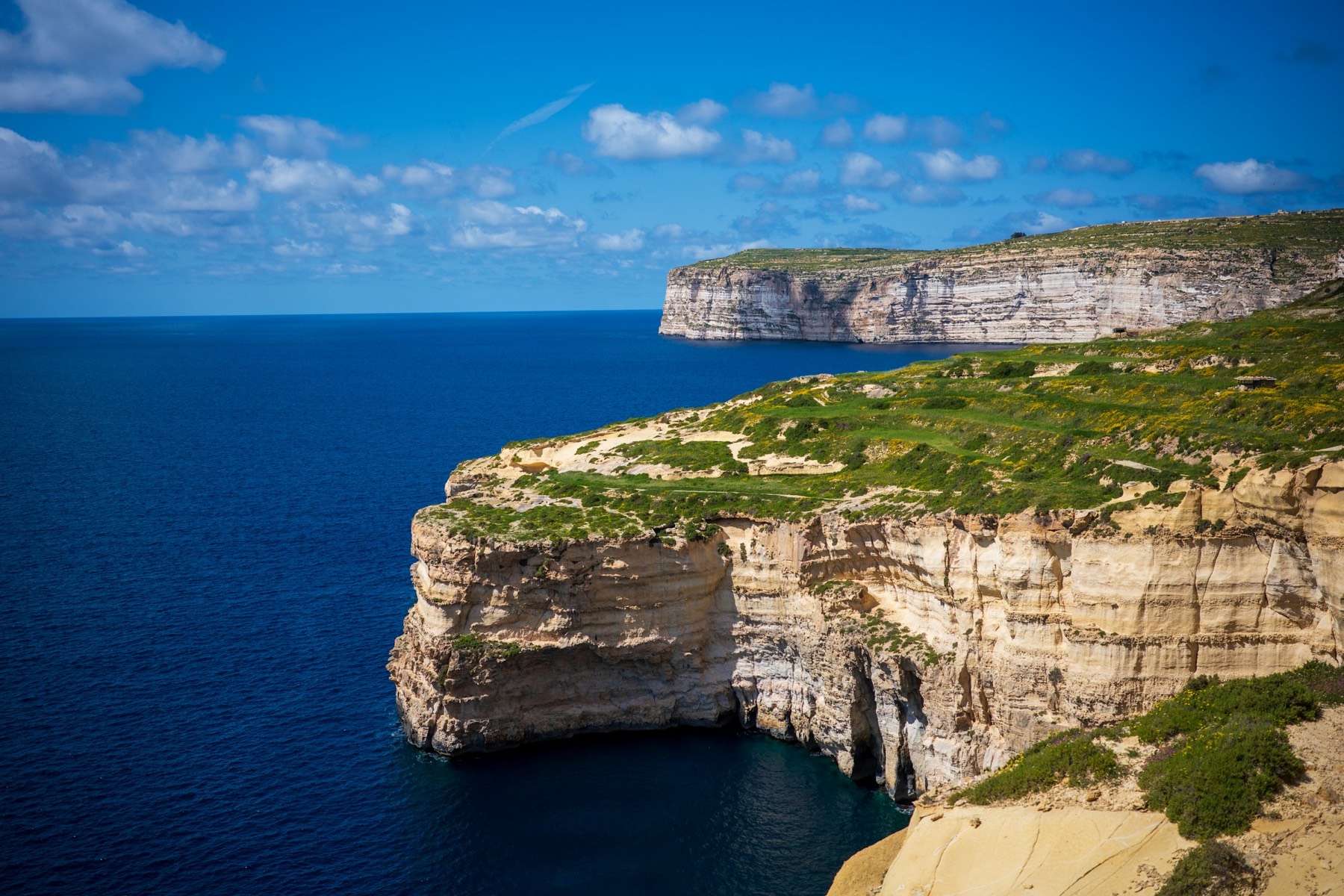
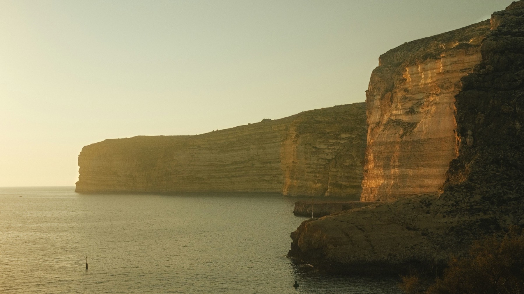
The cliffs east of the bay rise above 100 metres. The plateau behind them holds a temple-period ruin, and a walk across it ends at Mġarr ix-Xini.
Take the 305 bus to Sannat and you can walk Gozo's tallest sea cliffs down to a swimming inlet in about two hours.
Read the guideSnorkel off a pebble shore at the end of a narrow Gozo road, then walk to the largest watchtower the Knights built on the island.
Read the guidePast Xlendi's watchtower, a coastal track takes you out to the Sanap Cliffs, part of the long, high cliff line on Gozo's southern shore, with rock shaped by wind and waves.
Read the guideThe low stone remains of a temple-period building on the Ta' Ċenċ plateau above Sannat, with cart ruts and a dolmen close by. Wear sturdy shoes on the rocky ground.
West of the bay the coast runs as a wall of rock to Ras il-Wardija, and the path goes on to Fungus Rock.
Walk the open cliff tops of west Gozo from Xlendi Bay to Fungus Rock in an afternoon, with the Inland Sea waiting at the end. It is six and a half kilometres one way, high above the sea for most of it.
Read the guideA squat watchtower on the point at the mouth of the bay, about ten minutes from the bridge on a rock-cut path. The rock is uneven and has no rail, and you see the tower from outside.
Read the guideAbout 3 km of rock wall west of the bay, rising to 105 metres before Wardija Point. Shearwaters breed on the ledges; keep back from the edge in wind.
A narrow inlet in a gorge below Xewkija and Sannat, with a watchtower on its eastern cliff and one of Gozo's oldest chapels in the fields above.
Snorkel off a pebble shore at the end of a narrow Gozo road, then walk to the largest watchtower the Knights built on the island.
Read the guideA watchtower on the eastern cliff at the mouth of the inlet, reached by a short, steep footpath with no shade. The path is open at all times, and the tower is seen from outside.
Read the guideThe low stone remains of a temple-period building on the Ta' Ċenċ plateau above Sannat, with cart ruts and a dolmen close by. Wear sturdy shoes on the rocky ground.
One of the oldest chapels on Gozo, from around 1540, in open country near Xewkija. It and the tower beside it, a private home, are seen from outside.
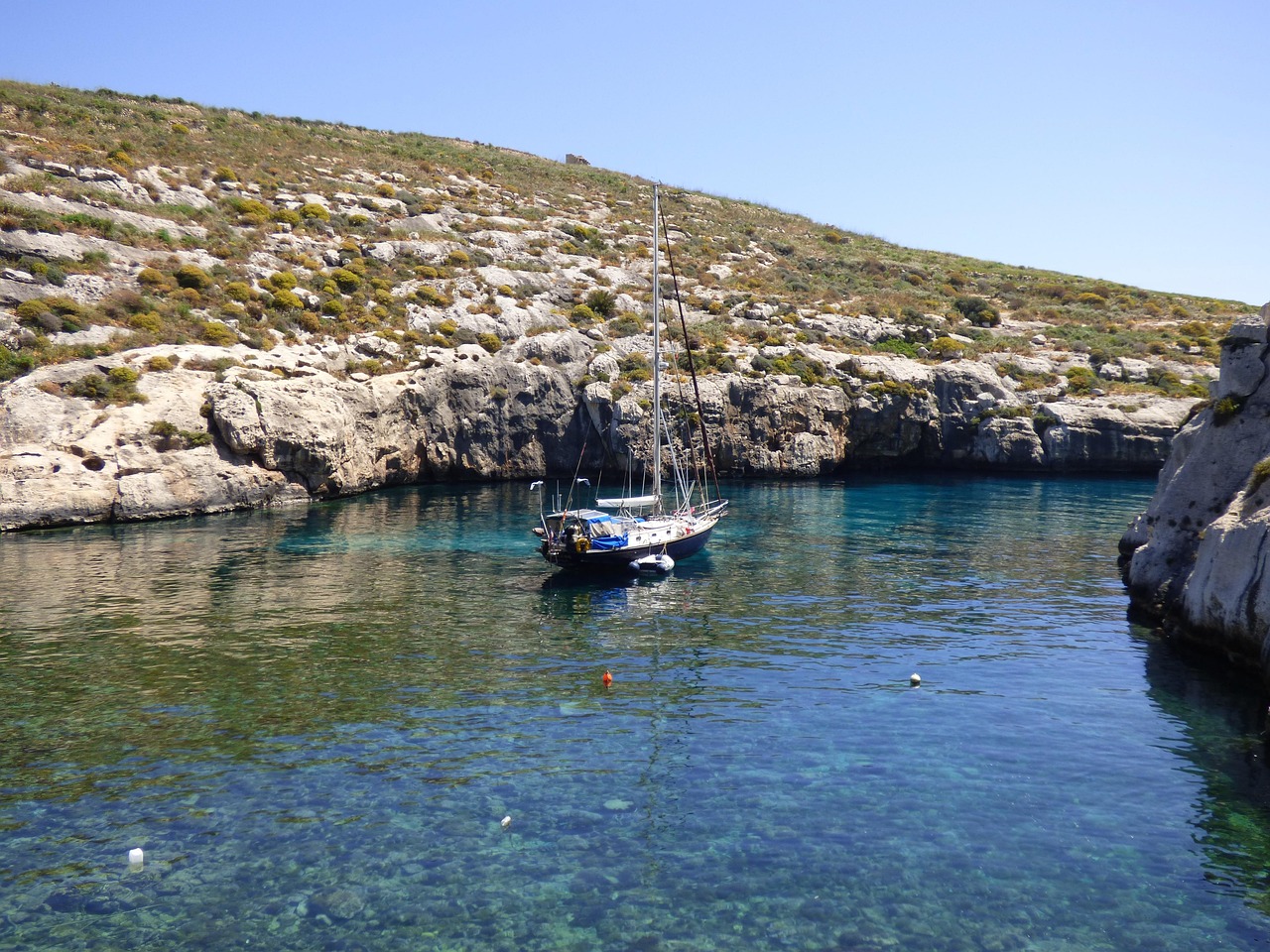
Start in the water. Most of the swimming is off the rocks near the mouth of Xlendi Bay, by steps and ladders, with a small beach of sand and pebble at its head. Bring a mask for the caves in the cliff walls.
Beyond the statue of St Andrew, steps cut into the cliff go down to Caroline's Cave, a sheltered grotto for swimming on a calm day. A south-westerly wind blows straight into the bay and spoils the water, so check the forecast the night before.
Late morning, cross the bridge and follow the rock-cut path to Xlendi Tower on the point, about ten minutes with no rail. In summer, book ahead for lunch on the waterfront.
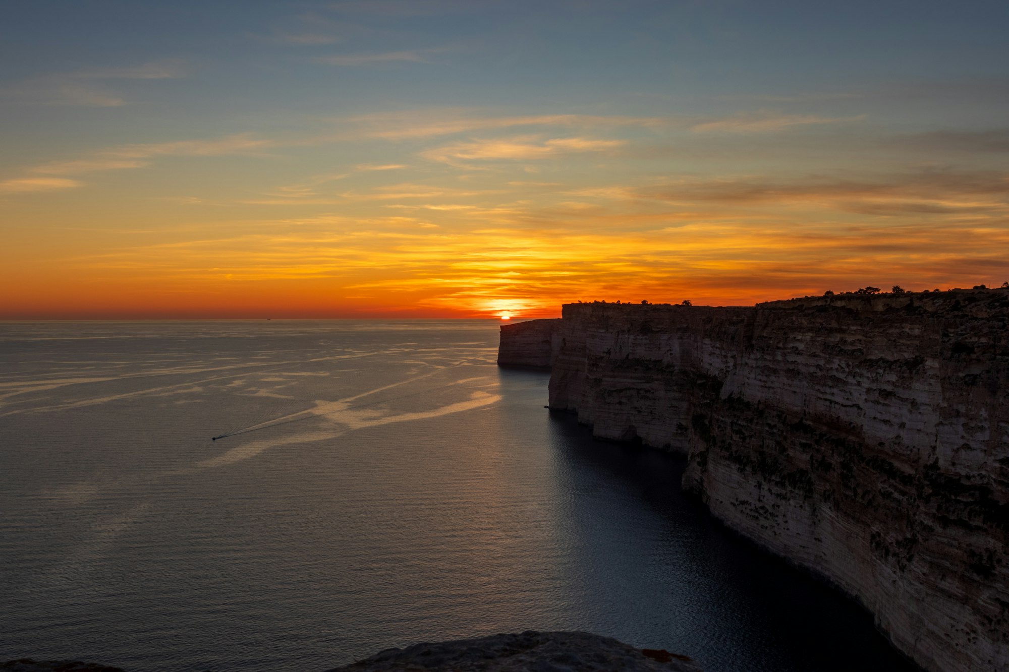
In the late afternoon, climb out of the bay to the east for the Sanap cliffs, which run on as the Ta' Ċenċ Cliffs towards Sannat. Watch the sun go down from the top, keep well back from the unfenced edge, and walk down for dinner by the water.
On a second day, walk west instead. The Xlendi to Dwejra Walk starts on the steps at the far end of the seafront and runs six and a half kilometres along the cliff tops to Fungus Rock; October to May is the walking season. With a car, drive by way of Sannat to Mġarr ix-Xini, where parking is limited and the bay has little beyond one seasonal restaurant, so bring food.
Malta's one airport is at Luqa, on the main island. Take TD4 to the fast ferry or TD1 to the car ferry, cross to Mġarr, then change buses in Victoria for the bay.
Airport route TD4 runs to the Gozo fast ferry in Valletta's Grand Harbour, which carries foot passengers only to Mġarr. Check in 15 to 20 minutes before it sails.
Route TD1 runs from the airport to Ċirkewwa, with tickets sold on board. The crossing to Mġarr takes about 25 minutes, and foot passengers have their ticket validated only when they leave Gozo.
Route 301 runs from the Vapur stop at Mġarr harbour to Bay 1 at the Victoria bus terminal. Route 306 leaves from Bay 5 for Xlendi about hourly, so allow for the walk between the two bays.

Every Malta town, place and dispatch, on one map.

Gozo's capital stands mid-island, with its main bus terminal and the walled Cittadella.
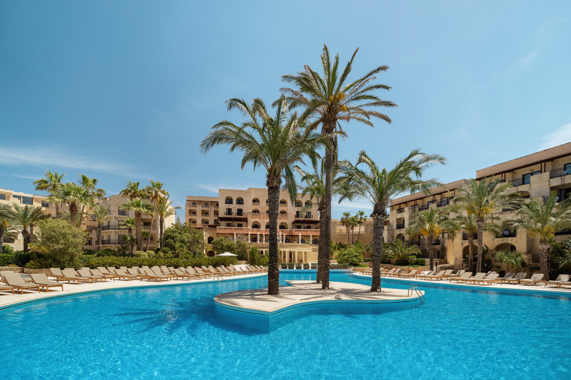
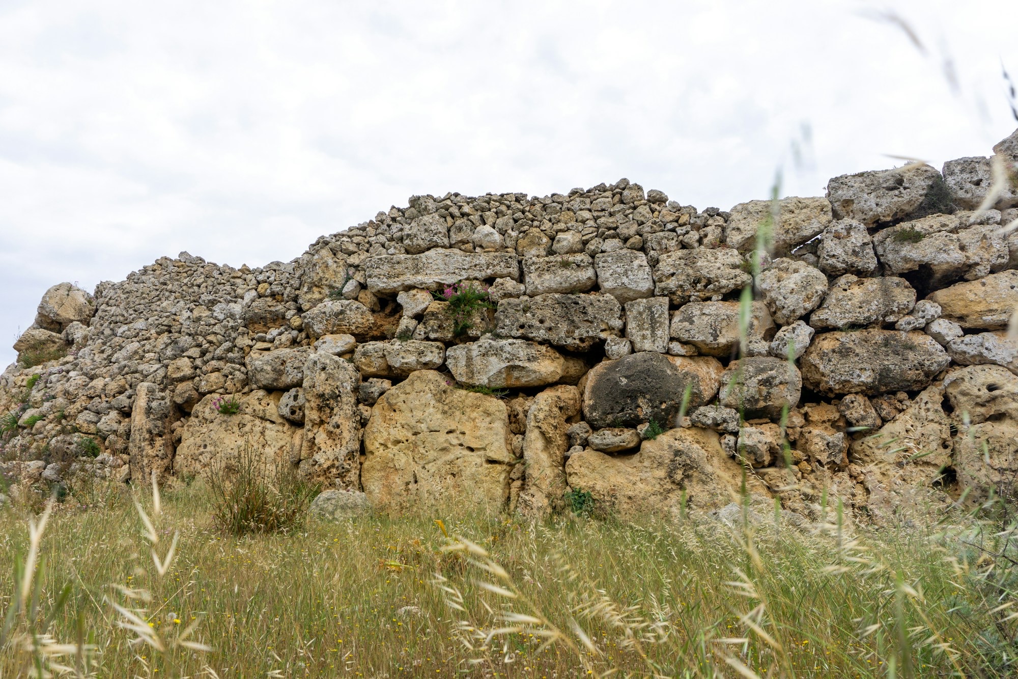
On high ground in north Gozo, Xagħra holds the Ġgantija temples, two Neolithic stone structures, and a village square with cafes.

Look up in Gozo's cathedral and you see a dome that was never built, painted in perspective on the flat ceiling.
The official pages this guide was checked against.
Last updated