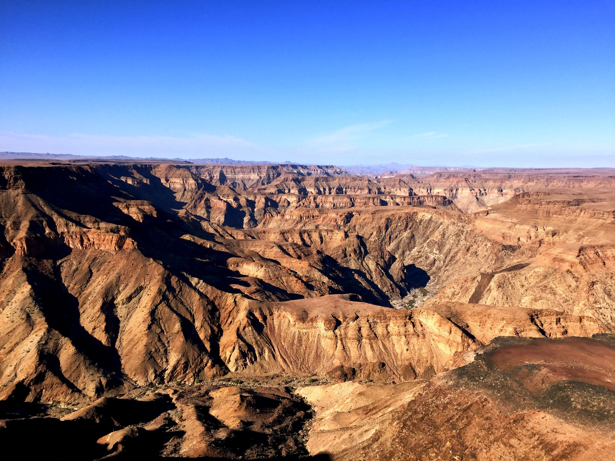
About 80 km from the rim near Hobas to Ai-Ais
The trail runs from early May to mid-September, while the rim viewpoints stay open all year. The start depends on the river: when the water runs high, Namibia Wildlife Resorts keeps the trail shut until levels fall. In 2026 it reopened on 17 July, so in a wet year the season can shrink to a few weeks, and the operator's notices are worth checking before travel.
Through Namibia Wildlife Resorts, which runs the trail and issues each walker's permit. Groups must have at least three members and no more than thirty, so solo hikers and pairs need to join up with others before applying. The hike starts beside Hobas Lodge, where the permits are checked.
Up to 550 metres deep in places and about 160 km long. Namibia Wildlife Resorts ranks it the largest canyon in the world after the Grand Canyon in the United States. The famous view is only one bend of it: Hell's Bend, seen from the main viewpoint near Hobas.
It starts at Hobas, on the rim, and finishes at the Ai-Ais hot springs in the south, a walk of 90 km by the operator's measure. At Ai-Ais the thermal baths and heated pools are the reward at the end, and a shuttle run by Namibia Wildlife Resorts carries hikers back to Hobas and their cars.
Hobas Lodge is the base for the rim: six en-suite rooms and a campsite under shade trees at the top end of the canyon, close to the main viewpoint, and about 650 km from Windhoek. Ai-Ais Hotsprings and Spa, at the southern end, is about 712 km from the capital and suits a night after the long drive.
Namibia. The canyon is in the far south of the country, inside the /Ai-/Ais park, which now forms part of a transfrontier park shared with South Africa's Richtersveld. Travellers coming from South Africa can cross into Namibia at the Sendelingsdrift border post inside the park.
Hard, remote and slow: four or five days on the floor of Africa's largest canyon, from the rim above Hobas to the hot springs at Ai-Ais, sleeping on sandbanks by the river pools. Book the permit months ahead.
Route from OpenStreetMap. The mapped line follows the shortcuts most groups take and measures 69 km. Published figures are about 80 km with the shortcuts and 86 to 90 km along the river, so read the stop distances as a guide, not a count. Heights are from a 30 m terrain model, smoothed: read the chart as a shape, not a survey.
The trail follows the floor of the canyon from a steep descent below the eastern rim to the hot springs at Ai-Ais. There is no fixed path and nothing on the way: groups pick their own line along the river, camp on the sandbanks and drink from the pools after treating the water.
Palm Springs (also called Sulphur Springs) is the first reward: hot sulphur water rising under palm trees, with pools to soak in at the end of a day on the boulders. South of it the canyon widens and the walking gets quicker. The last landmark before Ai-Ais is the grave of a German soldier from the war of the early 1900s.
Give the first two days to the stretch before Palm Springs. The descent takes from under an hour to three, with chains on the steepest part, and the boulders and deep sand below slow most groups to 6 to 10 km a day. After Palm Springs, 15 to 25 km a day is normal.
Steep rock for the first two kilometres, then the canyon floor all the way to Ai-Ais. Expect wet feet: the trail crosses the river again and again, and the stones stay slippery after a wet season. In a wet year the river can stay too high to walk: in 2026 the trail did not open until mid-July.
Ten kilometres of gravel lead from the Hobas office to the main viewpoint, where a shelter with picnic tables and information panels overlooks Hell's Bend. A path follows the edge north to Hiker's Viewpoint, where the trail drops into the canyon.
Ask for the viewpoint map when you pay at Hobas. A short dead-end road runs on to Sunset Point and Rockies Point, and on the way back the first turning on the right leads to Sulphur Springs viewpoint and on to Eagle's Rock, which needs a 4x4.
The camp at the start, the town on the way, and the rest of Namibia
A campsite, a park office and the gravel road to the rim. Sleep here the night before the descent.
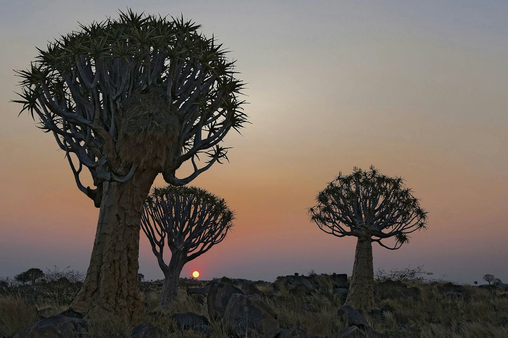
The night stop on the B1 and the last big shops and fuel before the canyon.
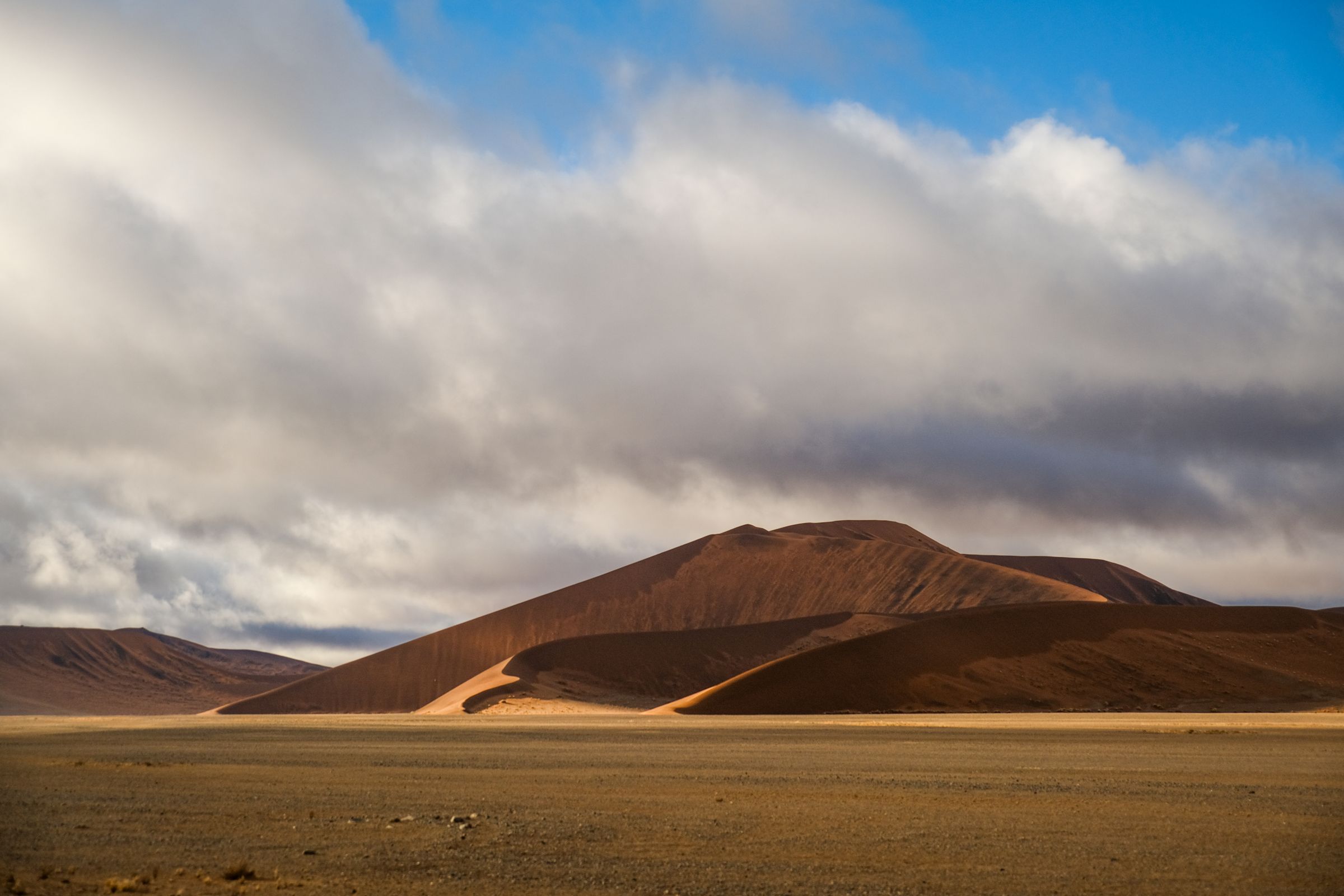
Where to fly in, how to drive it and the places worth the trip.
Last updated