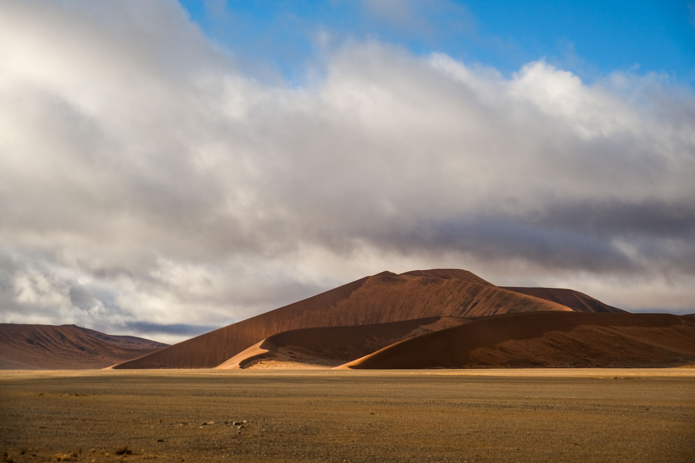
Two weeks on gravel, between the Namib dunes and the Etosha pan.
The standard loop runs Windhoek, Sossusvlei, Swakopmund, Damaraland and Etosha before turning back, which is about ten days and some three thousand kilometres of mostly gravel. A fortnight buys a second night at each stop instead of driving every day, and the driving is what tires people out. Adding the Fish River Canyon in the south or the Zambezi floodplain in the northeast takes a trip to three weeks. The Kaokoveld beyond Opuwo is an expedition of its own, in two vehicles.
The vehicle is the trip. There is no useful public transport between the places worth reaching, and the gaps between fuel stops run to several hundred kilometres. Most roads outside the tarred B routes are graded gravel, fast and unforgiving: tyre damage and rollovers on corrugations are the common incidents, and a second spare is normal practice. A 2WD reaches Sossusvlei and Etosha in the dry months, while the Kaokoveld, the Skeleton Coast concessions and Sandwich Harbour need a 4x4 and often a second vehicle. Fly-in transfers link the lodges for anyone skipping the drive.
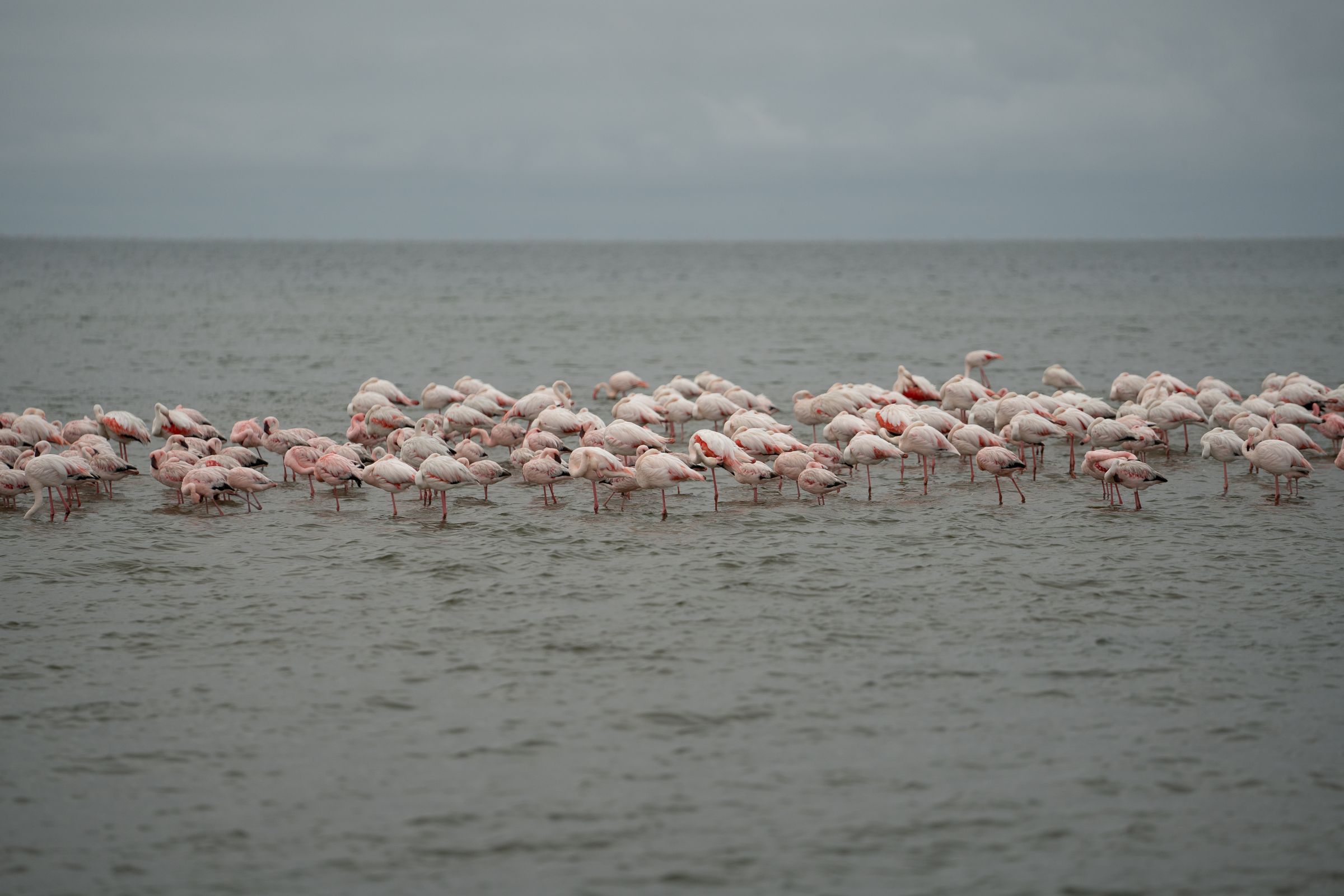
May to October is the dry season and the reason most visits fall then. Surface water disappears, so game concentrates at the waterholes in Etosha and sightings become predictable instead of lucky. Mornings in June and July are genuinely cold in the desert and on the high ground. Rain falls between about January and April, greening the country, filling Fisher’s Pan with flamingos and closing some gravel roads. The coast runs fogbound into the late morning through most of the year, whatever the interior is doing.
English is the sole official language, adopted at independence in 1990 in place of the Afrikaans and German that had shared the status before. Only about 2.3 percent of the population speaks it at home, but it is the language of government, schooling and broadcasting and is understood almost everywhere a visitor goes. Afrikaans remains the common second language across much of the country, German survives in Swakopmund and Lüderitz, and Oshiwambo is the largest home language. Signs, menus and park documents are in English throughout.
The Namibian dollar, introduced in 1993 and pegged one to one with the South African rand. Rand are legal tender here and circulate alongside it, so change can come back in either, though Namibian dollars are not accepted in South Africa. Cards work in Windhoek, Swakopmund and at the lodges, and cash is what matters elsewhere, particularly at community campsites, conservancy gates and northern fuel stations. Machines are reliable in the towns and absent between them, so drawing cash before a long leg is routine.
Hosea Kutako International outside Windhoek takes almost every intercontinental arrival, 45 kilometres east of the city and roughly forty minutes by road. Frankfurt, Johannesburg, Cape Town, Addis Ababa and Doha are the usual connections. Eros, five kilometres south of the centre, handles the light aircraft flying the concessions and the fly-in lodges. Walvis Bay has its own airport for the coast and Ondangwa serves the north. Collecting a rental at Hosea Kutako is the first act of most trips, and the gravel-driving briefing happens at the desk.
Ninety seconds on the country
Namibia is mostly empty, and the emptiness is the product. Around three million people live in a country more than three times the size of the United Kingdom, which is what the long gravel roads, the silence and the night sky are made of.
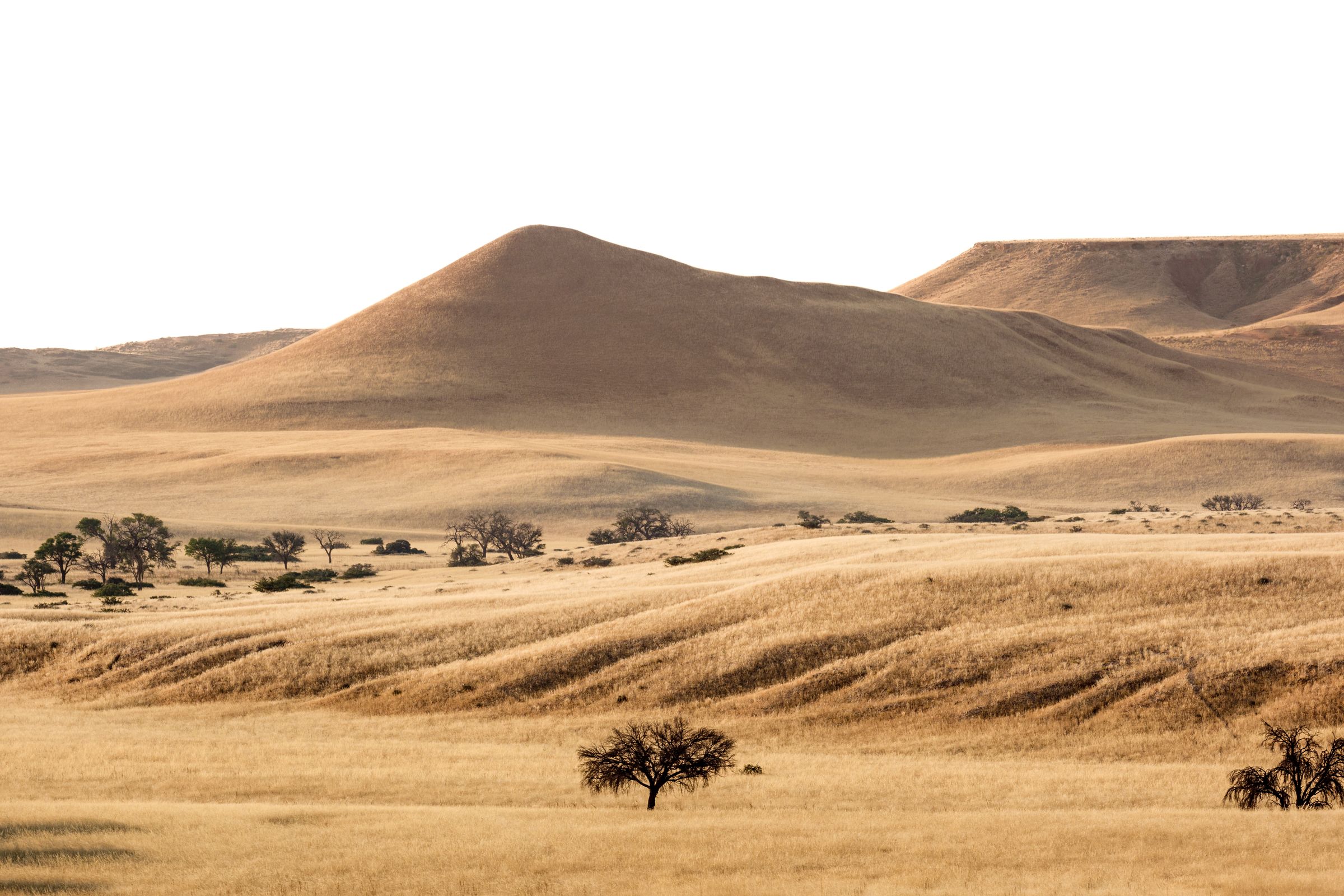
The Namib gives the country its name and its signature. It is reckoned the oldest desert on earth, and where it meets the Atlantic the cold Benguela current throws a fog that counts as the local weather. Between the dune field and the sea there is almost nothing at all.
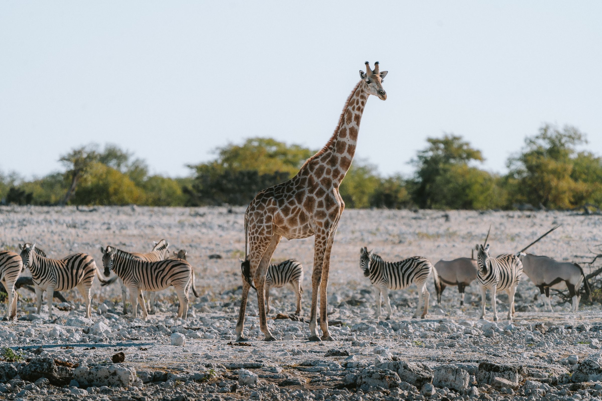
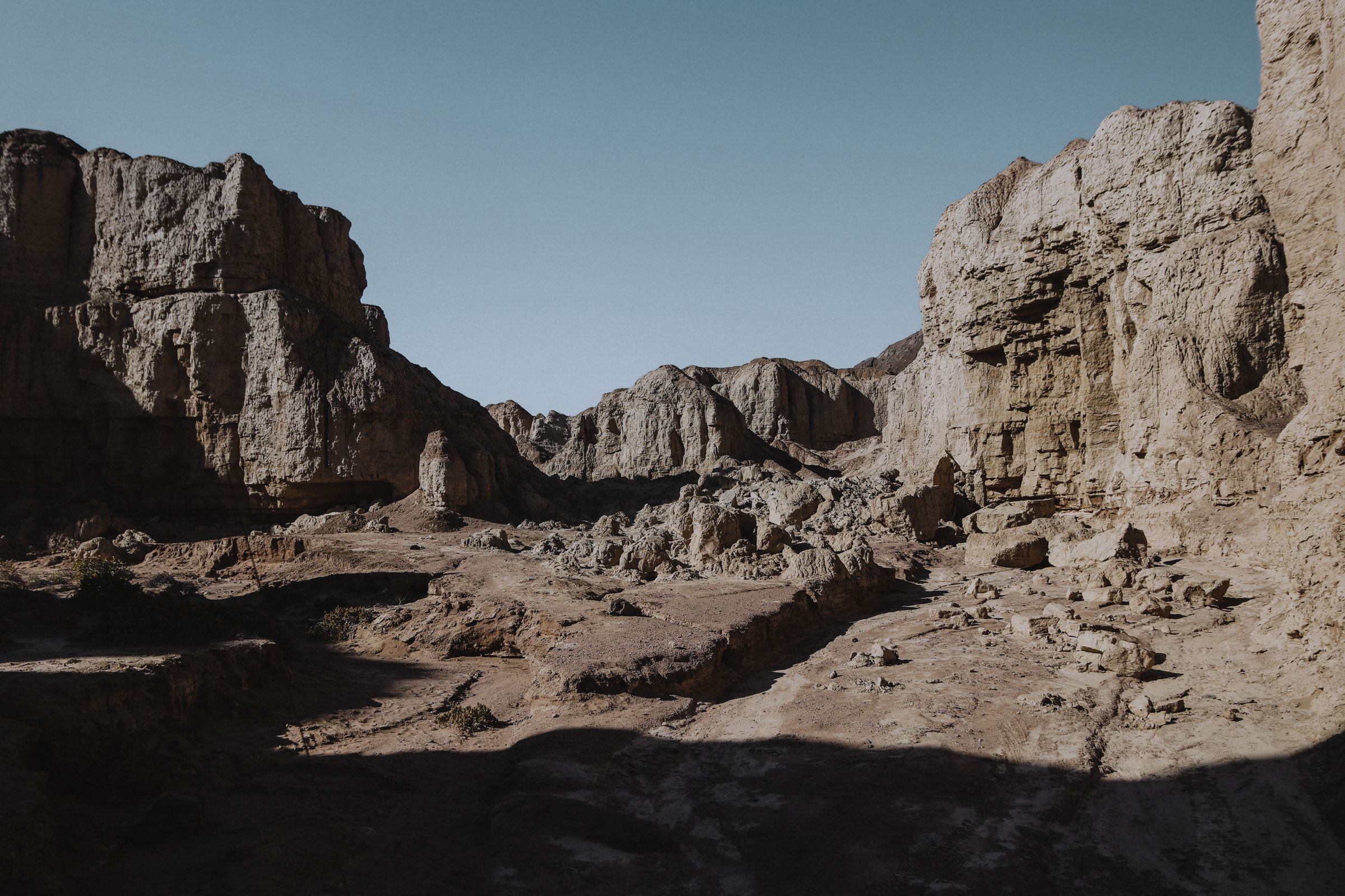
North of the desert the register changes. Etosha’s salt pan holds a game population that gathers at the waterholes once the surface water has gone, and the rock and dry riverbeds of Damaraland carry desert adapted elephant, rhino and lion outside any park boundary.
The far corners take longer to reach. The Kaokoveld in the northwest is Himba country and among the least roaded places in southern Africa, and the Zambezi in the northeast is a floodplain with more in common with Botswana than with the dunes. Windhoek sits in the middle and is where it all starts.
Pick how you want to travel. The towns, the things to do and the map all change with it.
The engravings at Twyfelfontein were the country’s first World Heritage listing, thousands of animals and spoor cut into sandstone above a spring and walked with a guide. The Brandberg keeps its painted figures in a ravine reached from Uis.
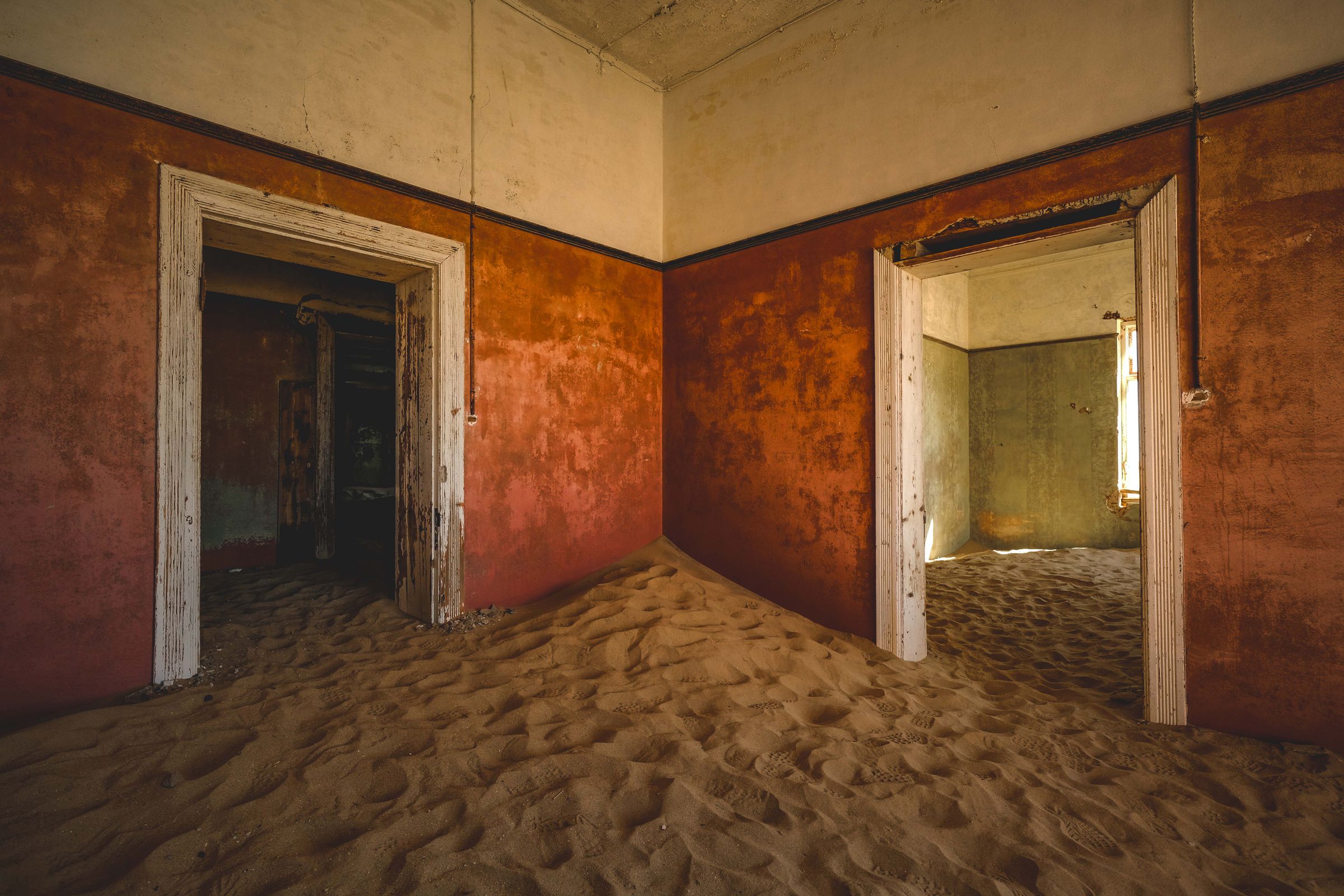
The colonial record runs along the coast. Kolmanskop is being taken back by sand outside Lüderitz, which also holds Shark Island and the camp that stood on it, and Swakopmund keeps its Lutheran church and merchant houses. Windhoek carries the Alte Feste, the Tintenpalast and a museum frank about the genocide.
Etosha is the anchor. A salt pan the size of a small country sits at the middle of it, and because water is scarce the animals come to the waterholes instead of scattering, which is why Okaukuejo and Namutoni are where the days begin and end.
The desert answers it in the south. Sossusvlei’s dunes and the dead pans behind them are a drive from Sesriem, the Naukluft’s kloofs are reached from Solitaire, and the Fish River Canyon opens at Hobas. Keetmanshoop keeps the quiver trees on the dolerite outside town.
What counts as adventure here is measured in recovery gear. Van Zyl’s Pass drops off the escarpment west of Opuwo over boulders and ledges and is driven one way only, and the tracks to Doros Crater out of Twyfelfontein and the Messum Crater inland of Henties Bay carry no facilities at all.
The rest is on foot or on the tide. The Naukluft’s Olive and Waterkloof trails climb from the park office near Solitaire with chains fixed to the rock above a pool, the Fish River trail runs five days from Hobas to the hot springs, and Sandwich Harbour is reached along a beach the sea closes.
The Benguela runs cold along the whole shore, so this is a coast to look at and not to swim in. Walvis Bay has the lagoon, the salt pans and the seal spit at Pelican Point, and Swakopmund has the jetty, the lighthouse and the dune belt behind the town.
North of Henties Bay the tar gives out. Cape Cross holds a fur seal colony and the cross Diogo Cão raised in 1486, the Zeila sits on a reef within sight of the road, and the public road stops at a barrier at Terrace Bay. Lüderitz keeps the penguins on Halifax Island.
The lodge is the Namibian luxury product and the position is what is being sold. Sossus Dune Lodge stands inside the Sesriem gate, which buys an hour on the dunes before the outer gate opens, and Little Kulala sits on a private reserve with its own way into the dune field.
Elsewhere the draw is remoteness. Shipwreck Lodge is built as a row of hulls in the dunes north of Terrace Bay and reached by air, Onguma the Fort looks over the plain on Etosha’s eastern boundary, and Grootberg Lodge above Palmwag is owned outright by the conservancy that staffs it.
Last updated
The places on this page are in the app, each with a verdict: why to go, how far from your hotel, how long to stay. Forward your confirmations and the days fill themselves in.