 Submit a photo
Ninety seconds on the Geirangerfjord
Ålesund is the usual starting point, on a road open all year that crosses by ferry from Linge to Eidsdal. Ålesund Airport Vigra, the closest airport, is about two and a half hours away by car. A ferry also runs from Hellesylt, while the road over Grotli from Lom or Stryn closes in winter. No train reaches Geiranger, because the Rauma Line ends at Åndalsnes.
May to July suits the waterfalls, when snowmelt makes the Seven Sisters most visible. Geiranger is open all year, though summer is the most popular season. The longest days fall around 21 June.
Yes, for the brave: swimming in the fjord is possible. Kayaking is the more usual way onto the water. The Seven Sisters, the Suitor and the Bridal Veil are most impressive from the fjord, whether on the Hellesylt car ferry, in a RIB boat or in a kayak.
By glaciers during the last Ice Age. On their way to the sea, the ice re-moulded V-shaped valleys into U-shaped valleys with steep mountain sides. The fjord now reaches a depth of 260 metres, and the surrounding landscape is still considered young and active.
For exceptional natural beauty and a diverse range of landscape formations. Geirangerfjord is listed with the Nærøyfjord as the West Norwegian Fjords, inscribed in 2005. The two are classic examples of fjord landscapes, and the only Norwegian site listed for its natural significance.
Best seen twice in one day: from the water in the morning, close enough to the Seven Sisters to feel the spray, then from the Dalsnibba skywalk in the afternoon, high above the same fjord.
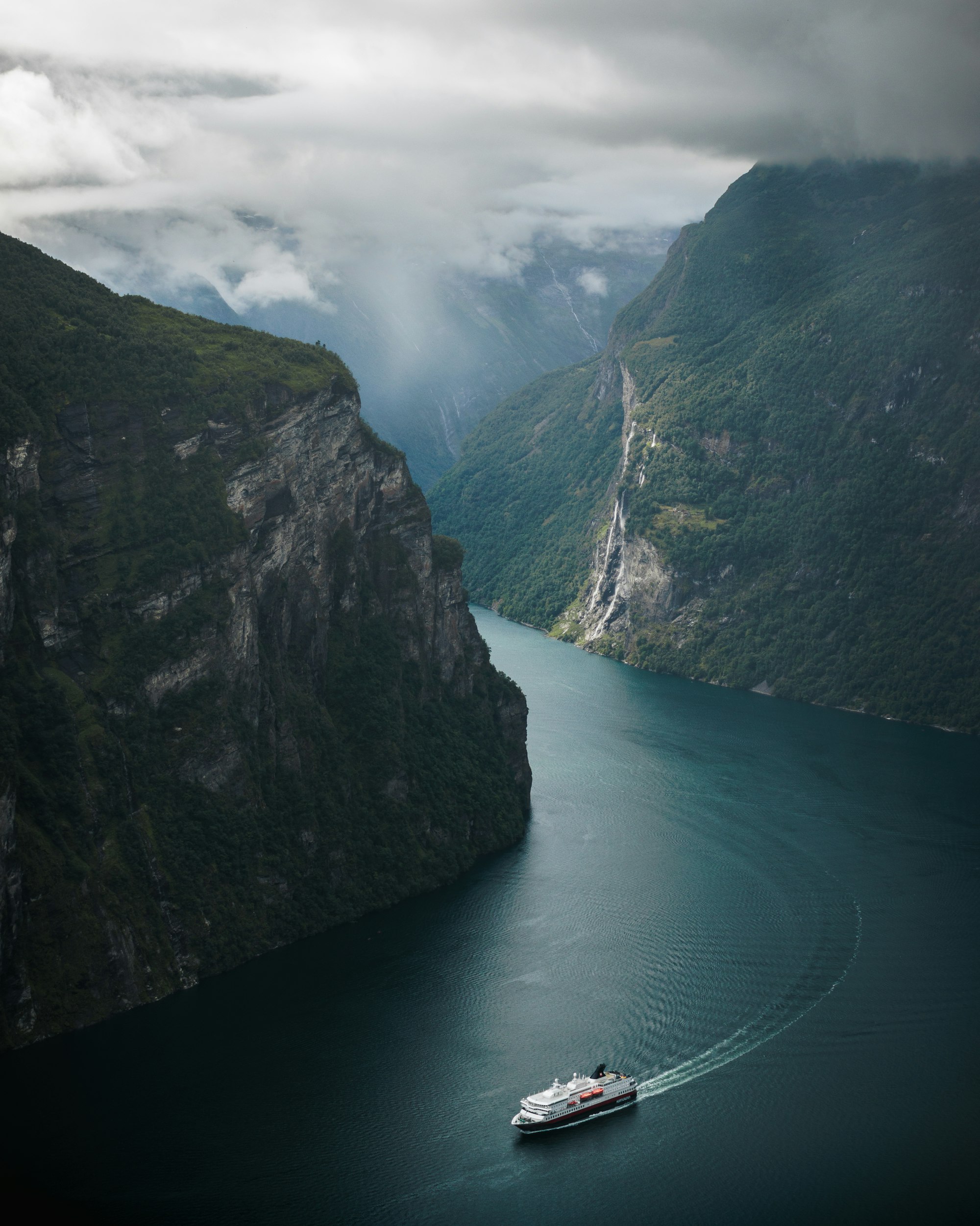
The fjord is narrow and very deep: crystalline rock rises almost sheer out of the water on both sides and carries on another 500 metres below the surface. UNESCO listed it with the Nærøyfjord as among the most scenically outstanding fjord areas on the planet.
Waterfalls come down those walls along the whole length, and the three famous ones are the Seven Sisters, the Bridal Veil and the Suitor. The Suitor stands directly across the fjord from the Sisters, and the local legend has him courting each of them in turn and being turned down. From the water, the Suitor is the fall you get closest to.
Two details are easy to miss. After rain, look at the black rock around the Suitor, where many smaller falls appear that are not there on a dry day. Then look up at the farms on the ledges, Skageflå and Knivsflå among them: every one is abandoned, many have been restored, and they are part of the listed site.
Choosing a boat comes first: the shorter classic loop, or the electric catamaran that goes further down the fjord. Stay on the open deck if you can, because the falls and the farms are on both walls at once, and bring a layer for the spray.
Back on land, Flydalsjuvet is about 4 kilometres up the road towards Grotli, and its two platforms sit one above the other. On the other side of the village the Eagle Road climbs in hairpins to 620 metres, past the Ørnesvingen lookout.
Dalsnibba is the highest viewpoint, a skywalk at 1,500 metres at the end of the Nibbevegen toll road, which leaves Road 63 at Djupvasshytta and climbs 11 hairpins. From there you see the Blåbreen glacier and the fjord far below. The Fjord Centre in the village explains how the landscape was made and fills a wet hour.
Check the cruise ship schedule before you choose your day, because Geiranger with a ship in port and without one feel like two different places. Wind can cancel a kayak tour at short notice, so keep a boat trip in mind as the fallback.
In July, drive the Eagle Road before ten: the Ørnesvingen car park holds 15 to 20 cars and has no overflow, so if it is full you drive on and come back later. Two cars can pass on the road, but a campervan and a tour bus cannot.
Come to Dalsnibba before ten or after two, when the tour buses have the car park. At Flydalsjuvet, the lower platform gives the better photograph, and the short path down to it is bare rock, so wear shoes that grip.
Explore the rest of Geiranger
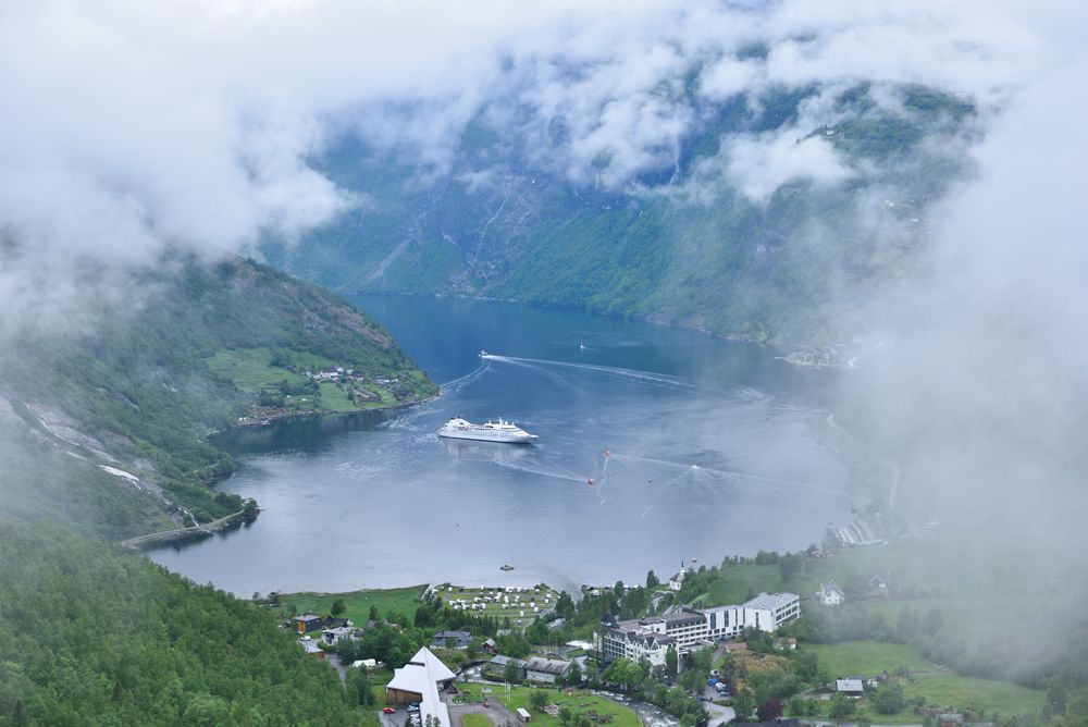
A village of around 250 residents at the head of the Geirangerfjord, one of the two Norwegian fjords inscribed by UNESCO in 2005.…
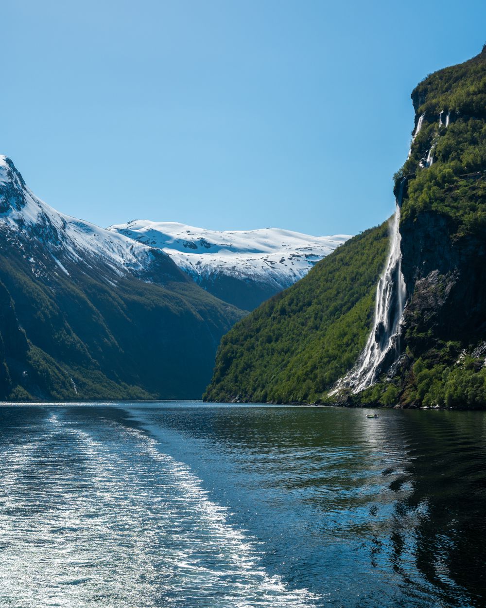
Seven separate streams that come over the north wall of the Geirangerfjord side by side and fall around 250 metres to the water, known in…
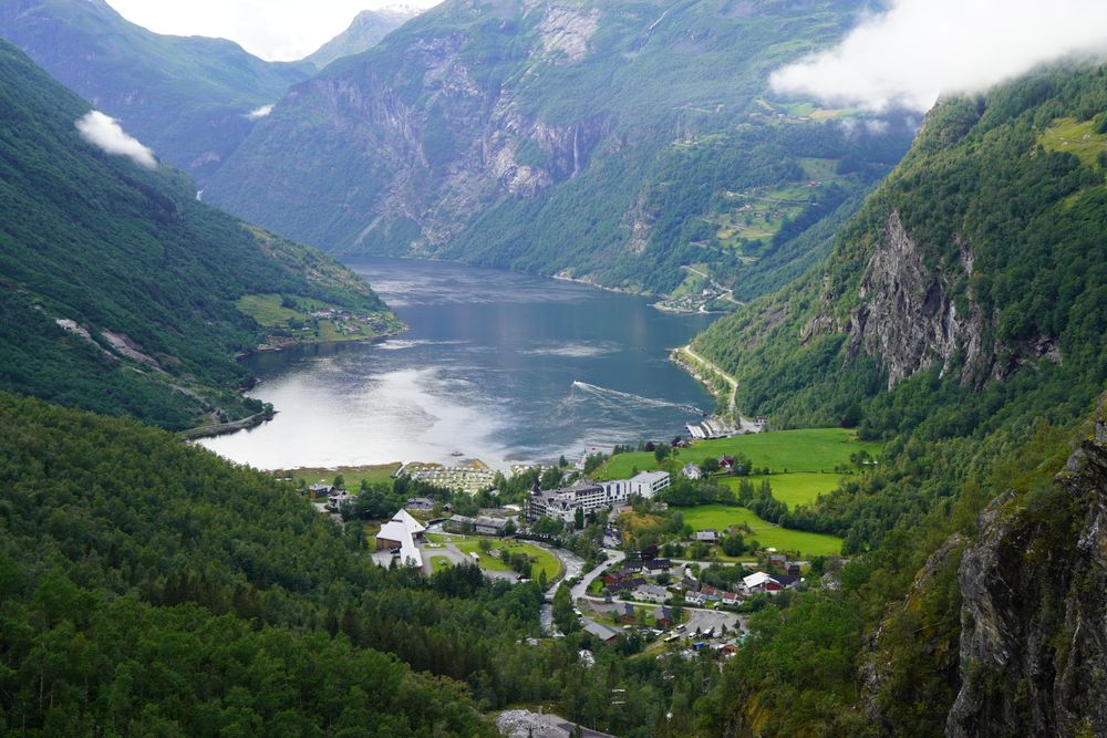
A mountain farm on a shelf 250 metres above the south side of the Geirangerfjord, worked until 1918, with the Seven Sisters falling on the…
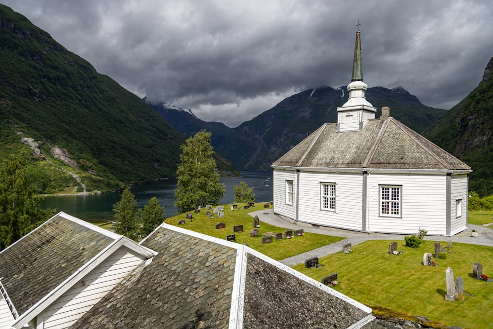
An octagonal timber church from 1842 on the hill above the fjord, seating about 120, the third church known on a site used since about 1450…
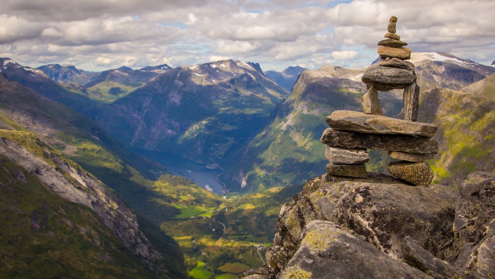
A 1,500 metre summit above Geiranger with the highest fjord view in Europe reachable by road, looked out from the Geiranger Skywalk, a 2016…
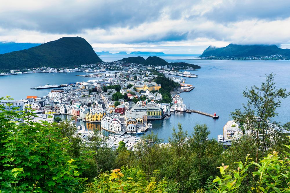
A port town spread over islands on Norway's outer coast. A fire in January 1904 destroyed nearly 850 houses, and the centre was rebuilt in…
A fjord village at the foot of the largest glacier on the European mainland, with the cable car to Hoven leaving from the shore. It works…
The town sits where the Rauma river meets the fjord under the tallest vertical rock wall in Europe, and calls itself the mountaineering…
The official pages this guide was checked against.
Last updated