13 km from Skjeggedal to the tongue
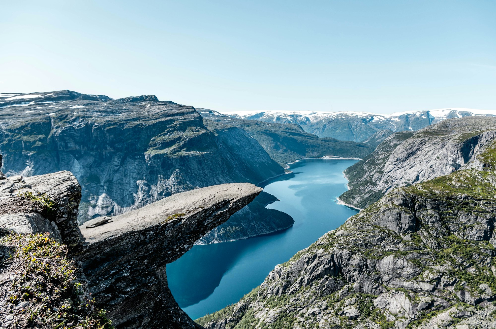
Seven hundred metres above Ringedalsvatnet, a ledge of rock juts out from the cliff, and you can walk to its tip for your turn at the photograph. The path there crosses the high plateau of Hardangervidda on an old route between western and eastern Norway.
The route is the signposted trail from OpenStreetMap. Heights come from a terrain model, so the chart shows the shape of the climb, not exact heights.
Trolltunga, the troll's tongue, is a ledge of rock that juts straight out of the cliff at 1180 metres above sea level. Up close it is quite wide and slightly uphill, so standing on it feels safe, even to walkers who dislike heights.
Below the tip the cliff falls away to the lake. From the end of the rock you look straight down on the blue of the water, set against grey rock ledges and the snow-covered mountains that ring the valley.
Three rescue huts stand along the path, at Floren, Endåen and Tyssehøl. A fourth opened near the tongue in 2023, and rescue operations still happen on the route every year.
Starting at Mågelitopp, the upper car park the shuttle bus climbs to, cuts out the first steep climb from Skjeggedal through the forest. From either car park the path then climbs again onto the plateau by about the sixth kilometre.
From the plateau's edge the path rolls on for about seven kilometres, past information boards and a viewpoint. Near the end, a side path of about 140 metres leads to the Tyssestrengene waterfalls.
At the tongue, walkers step out in small groups and take turns for the photograph. The midday wait runs 30 to 45 minutes on a weekday and often 60 to 90 minutes on a Saturday. Fog can roll in while you queue and hide the whole view of Ringedalsvatnet.
A guide suits you if you have little experience of mountain walking in Norway. The trail company's guided-tour page lists the local operators, and most overnight guided tours meet at the Skjeggedal car park and take the shuttle up to Mågelitopp.
Walking on your own suits a fit, experienced hiker. That includes the sunset-to-sunrise trip, an overnight walk out to the tongue, which experienced hikers may do without a guide.
Many accidents happen on the way back, when walkers are tired, so carry more food than you think you need and stop to eat on the return too. Take the stone staircases slowly on the descent, where slipping is the main risk.
Pack windproof and waterproof layers and a spare pair of socks. Wear waterproof boots with ankle support, sized for a long day: tight boots bruise toes over this distance. Bring poles, and refill your bottle from the streams along the path.
If you camp, a night up top puts you on the tongue near sunset, after the day crowd has gone. In July it barely gets dark, so bring an eye mask and earplugs.
The trail company gives it its top grade, extra demanding, for a walk over 20 km that needs good fitness and mountain experience. From Skjeggedal there are two steep climbs before a rolling plateau. Expect slippery rock, muddy stretches and even slushy snow.
Two more of the country's famous rock walks, and the town to base yourself in
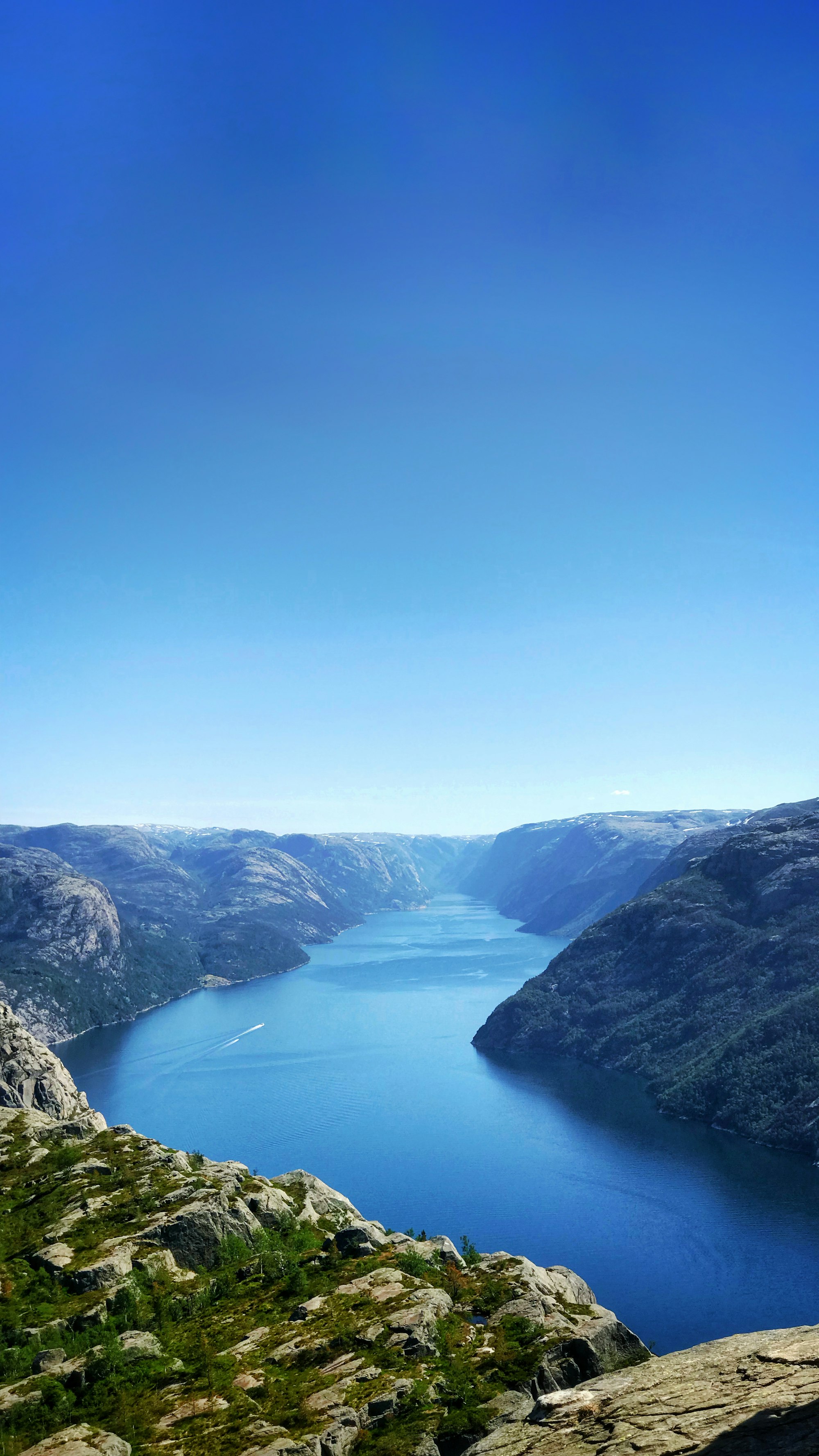
A flat cliff platform 604 m above the Lysefjord near Stavanger, on an 8 km return walk.
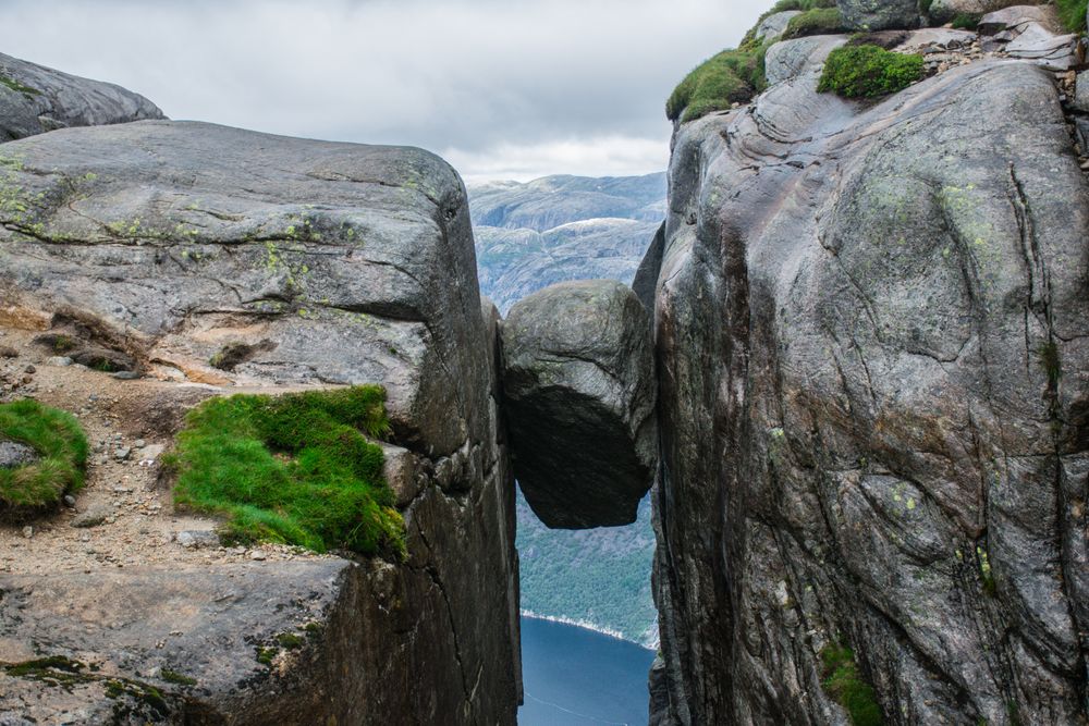
A boulder wedged in a crevice above the Lysefjord.
The town that is the base for the Trolltunga trailheads, with buses to and from Bergen.
Last updated