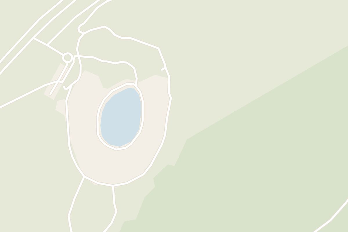
Red rock, not the usual black, rings this crater, and a blue-green lake fills its floor. On a typical Golden Circle trip it is the only crater lake you can walk down to and stand beside.
Lake, Selfoss. Meridian Dispatch.
The walk around the rim usually takes 10 to 15 minutes. The descent to the lake shore takes about five minutes more, plus time at the water and for the climb back up the stairs.
Yes. Admission covers the walking paths around the crater, parking and the toilets on site. Tickets are sold online through the operator's own site, kerid.is.
Yes. Kerið is open during daylight hours in every season, so a winter visit has to fit the short days. In winter snow can lie on the rim and the lake can partly freeze.
Kerið lies on Route 35 (Biskupstungnabraut) about 15 to 16 kilometres north of Selfoss, roughly 20 minutes by road. The car park sits right beside the road, and parking costs nothing extra.
Kerið began as a scoria cone, a pile of frothy lava fragments around a vent; the eruption emptied its magma and the cone collapsed into the space left behind. That makes it a small caldera rather than an explosion crater. The walls are red because the volcanic rock here is rich in oxidised iron, unlike the black basalt common nearby.
The official site of Kerið is kerid.is.
kerid.is →Kerið is a volcanic crater lake in the Grímsnes area of south Iceland, an oval bowl about 270 metres long, 170 metres wide and 55 metres deep. Its steep sides show the layered rock of the old volcano all the way round.
Almost every other rock nearby is black basalt, so the red walls stand out the moment you reach the edge. The water at the bottom is opal green to blue-green, its tint changing with the light and the season.
In summer, moss turns the upper slopes green against the red. After snowfall, white collects on the ledges of the walls and the frozen lake becomes a pale disc far below.
Book your admission ticket on the operator's website, then leave the car in the car park beside the road.
From the entrance, follow the path that loops round the top of the crater, about 1 km in all. Stop on each side to look down into the bowl from a new angle.
Finish by taking the staircase down to the lake shore, where the crater walls rise on every side of you. Climb the same stairs back up to return to the car park.
Wear clothing for the day's weather and comfortable hiking shoes for the rim path and the stairs.
If you want a base for the night, Selfoss is the practical one, with a supermarket for supplies, a few guesthouses and hostel beds, and bus links to Reykjavik.
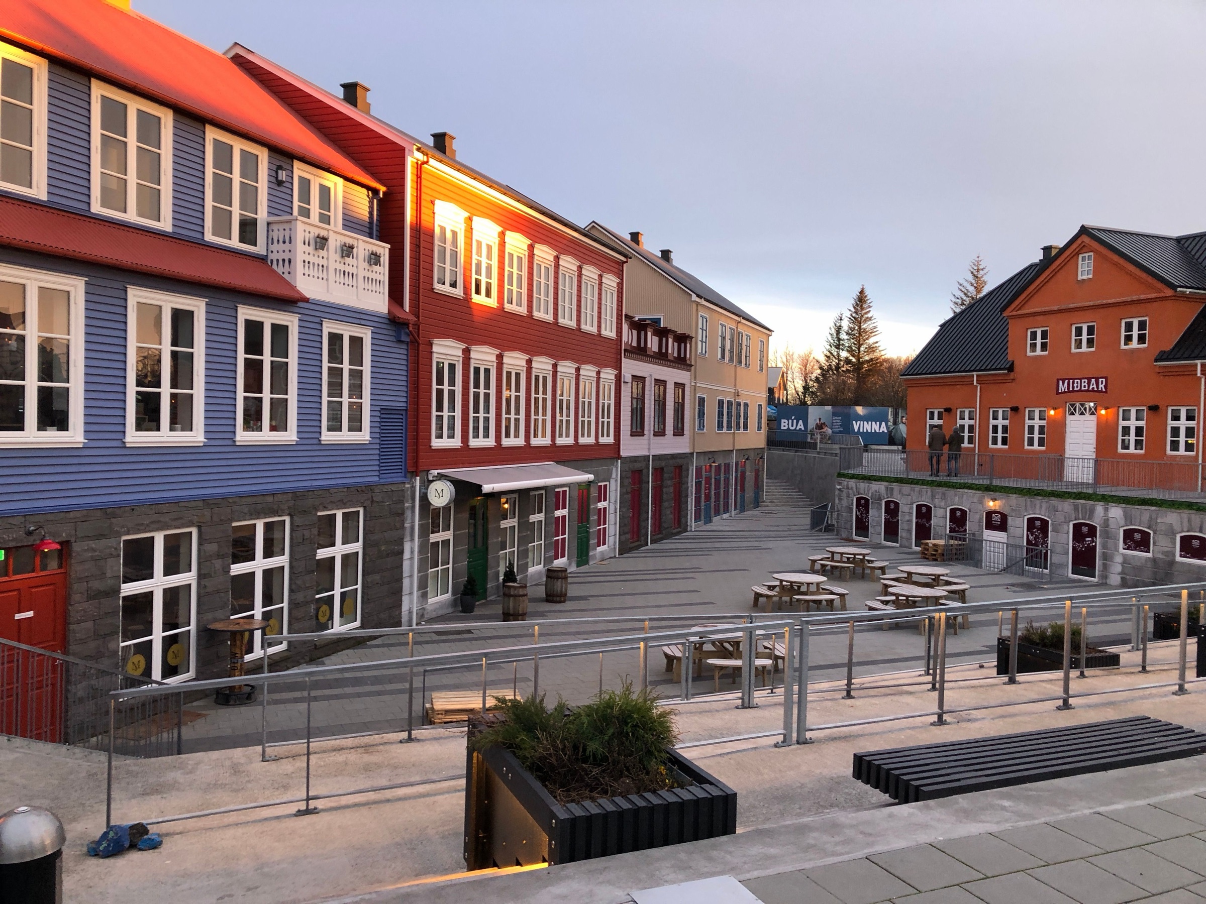
Selfoss, Iceland: Where the ring road crosses the Ölfusá stands the largest town in the south, and the last big supermarket stop before the coast.
Read the Selfoss guideExplore the rest of Selfoss
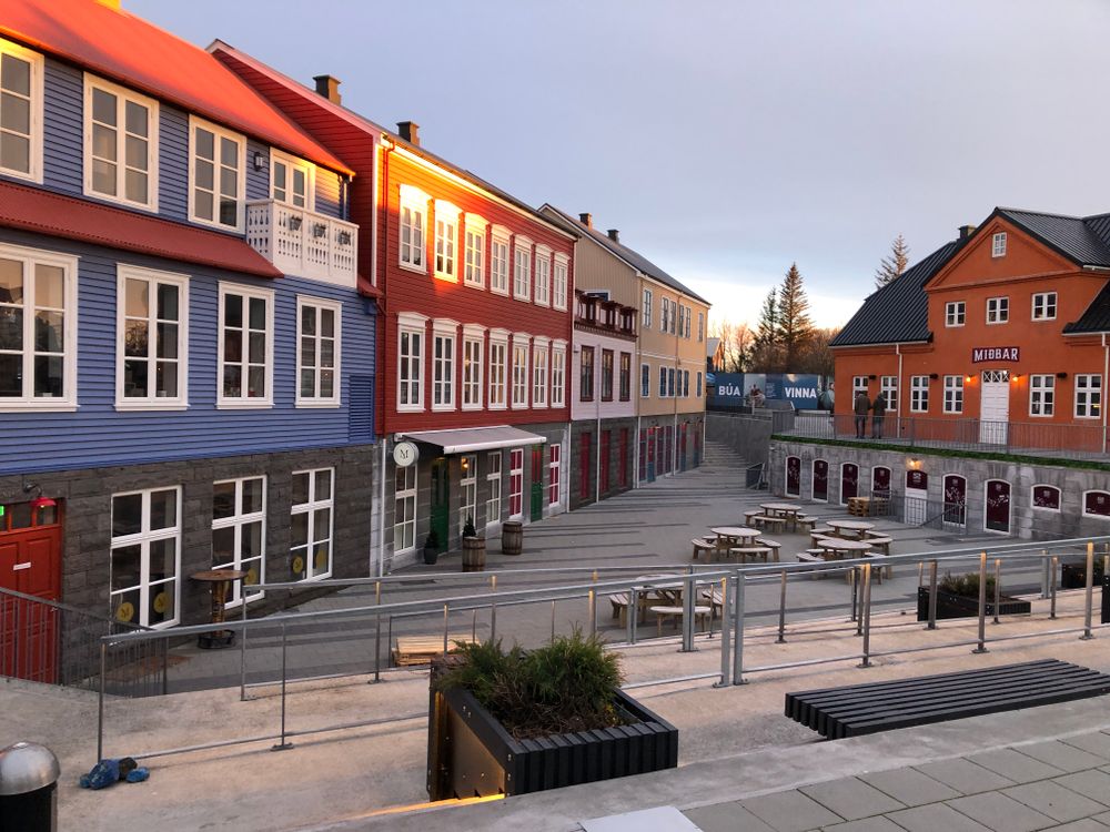
Where the ring road crosses the Ölfusá stands the largest town in the south, and the last big supermarket stop before the coast. The…
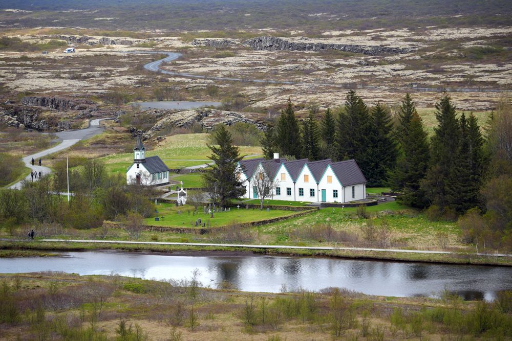

The site of the Alþingi, Iceland's assembly, from 930 until the last session held here in 1798, and a national park since 1930. It lies in…
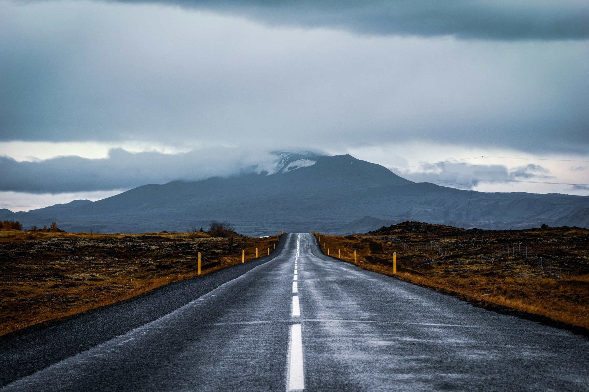
A village on the Ytri-Rangá, roughly ninety minutes east of Reykjavík on the Ring Road, that still works as the service town for the farms…
A country hotel in the Grímsnes farmland north of Selfoss, now trading under Kea Hotels, with rooms and suites spread low across the site…
The large hotel in the centre of town, on the bank of the Ölfusá by the bridge, with river views from many rooms and from the restaurant.…
Built directly on a geothermal field at the foot of Hengill, 45 kilometres east of Reykjavík, the town has grown flowers and fruit under…
A lakeshore village in Bláskógabyggð that grew up around its schools. Hot springs rise under the lake, so there are steam baths on the…
A countryside hotel in South Iceland, 8 km east of Hella along Road 1, with an observatory on its grounds that opens every clear night with…




Save Kerið to your Iceland trip in the Meridian Dispatch app and build the day around it, with the best of Selfoss pinned on one map.
Download on the App StoreLast updated