Things to do
10-
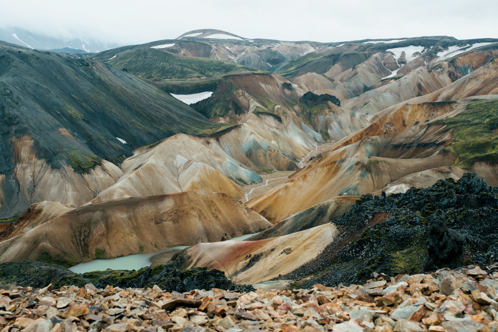
Landmannalaugar
The rhyolite country of the Fjallabak reserve, where the mountains run ochre, pink and green and a hot spring surfaces beside the hut. It is the northern end of the Laugavegur, the four-day walk out to Þórsmörk, and the base for circuits over Bláhnúkur. The mountain roads in cross unbridged rivers.
-
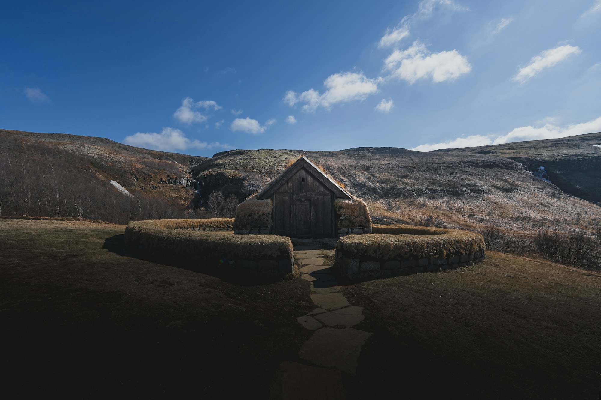
Þjórsárdalur
The broad valley of the Þjórsá, the longest river in Iceland, settled by farms until the Hekla eruption of 1104 buried it in tephra and emptied it. Much of the floor has been replanted with birch and lupin since, and the road through it links Hjálparfoss, Gjáin, Stöng and Háifoss in a single loop off Route 26.
-
Ægissíðuhellar
A row of man-made caves cut into the soft sandstone bank of the Ytri-Rangá at Ægissíða farm on the edge of the village. Crosses and carvings on the walls have been read as evidence of Irish monks here before the Norse settlement, though the dating is unresolved. They are seen on a farm-run guided visit.
-
Gjáin
A small green ravine in upper Þjórsárdalur, out of scale with the ash desert around it, holding waterfalls, spring-fed pools and columnar basalt in a space walked in half an hour. It sits below Stöng and was used as a filming location for Game of Thrones. The access track is rough.
-
Háifoss
A 122 metre fall of the Fossá at the head of Þjórsárdalur, among the highest in the country, with the narrower Granni dropping beside it into the same gorge. The viewpoint is on the rim, so the walk is short once the rough gravel track in has been driven.
-
Hekla
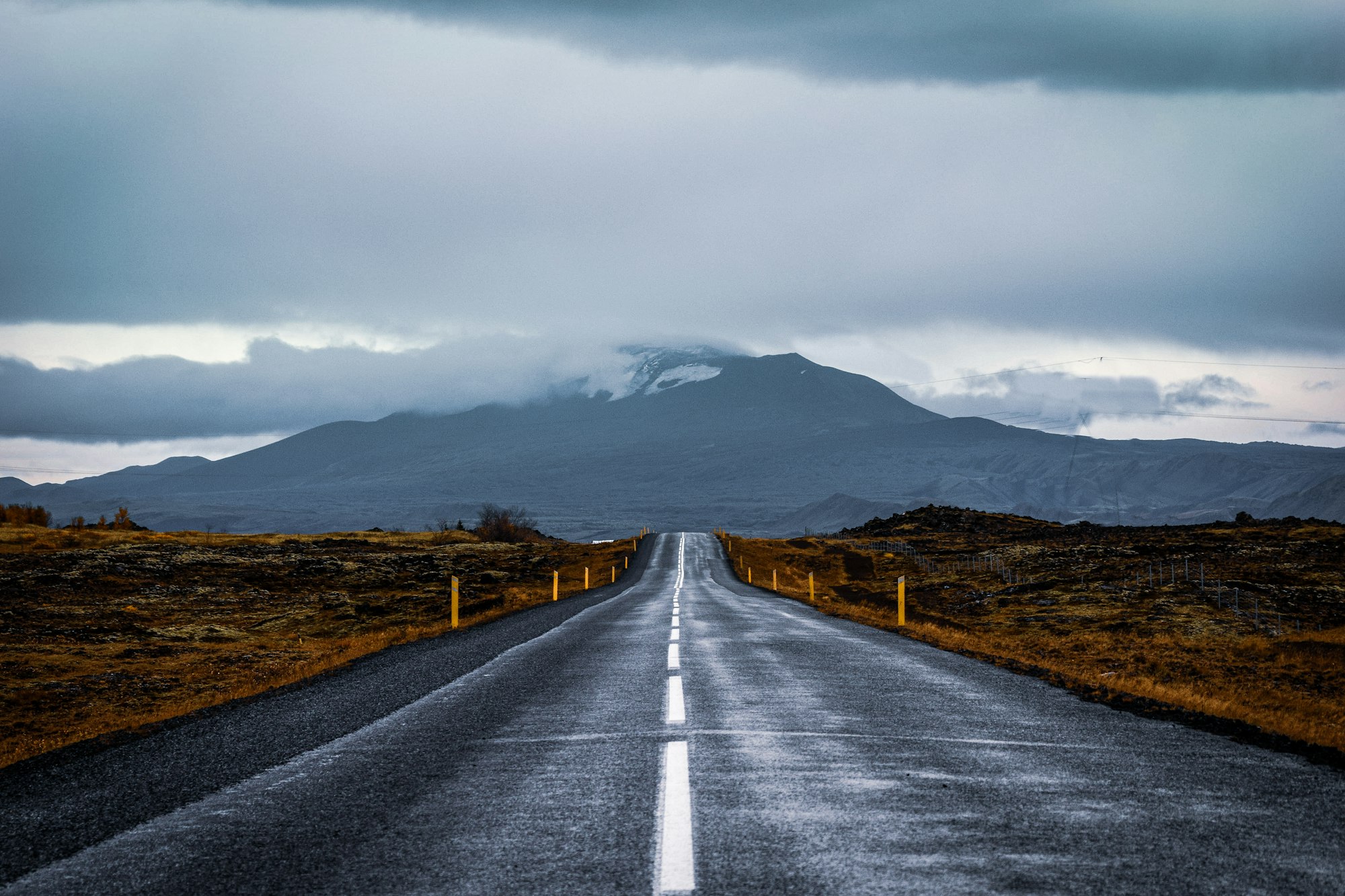
The stratovolcano that medieval Europe knew as the gateway to hell, and still the most active volcano in Iceland, with more than twenty eruptions recorded since 1104. Route 26 out of Hella runs along its flank, and a summer track climbs most of the way to the summit ridge. It last erupted in 2000.
-
Hjálparfoss
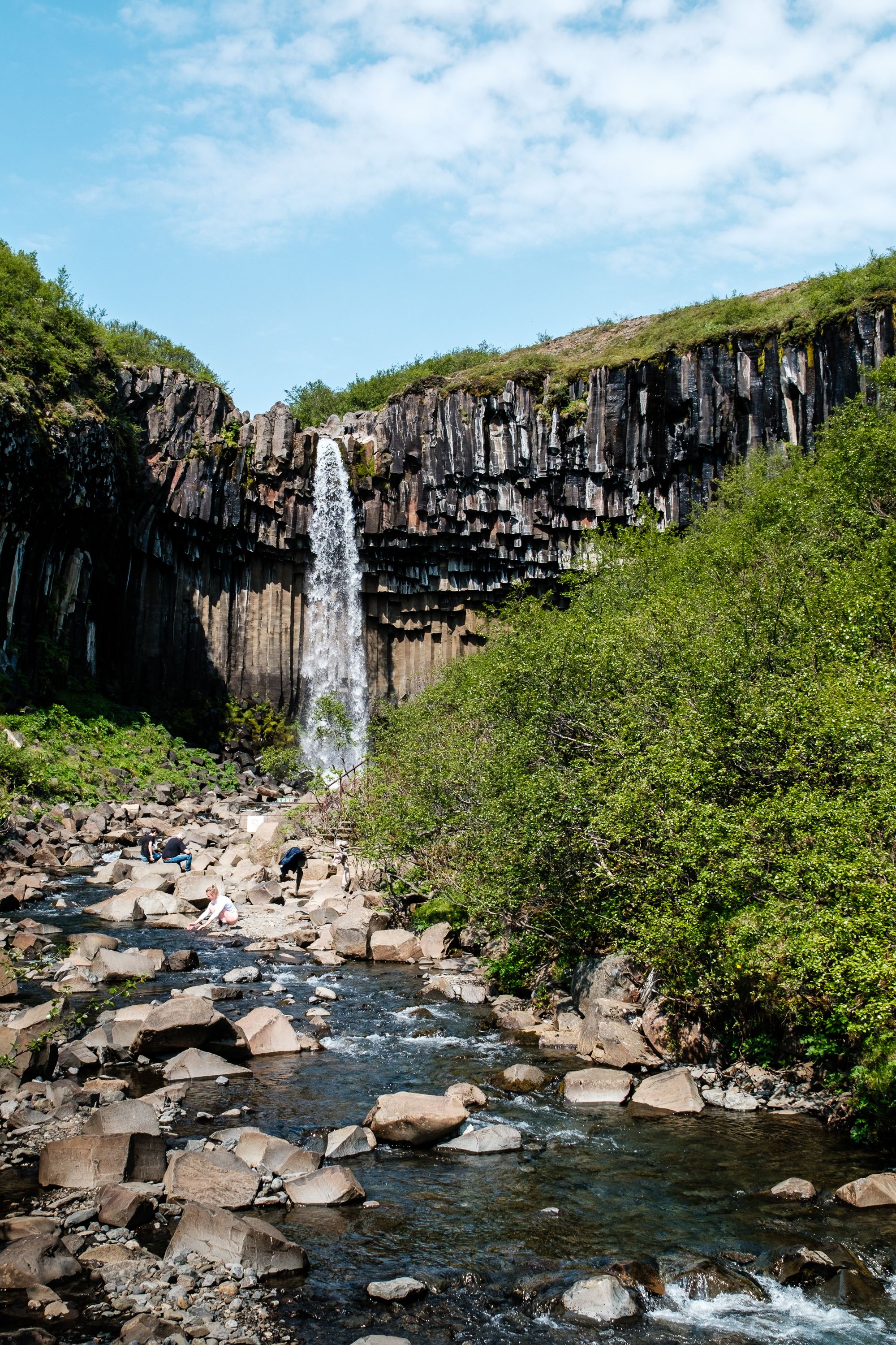
A pair of falls at the lower end of Þjórsárdalur, where the Fossá drops into a bowl of twisted basalt columns just above its meeting with the Þjórsá. The name means the helping falls, for the grazing travellers found here after crossing the barren highland. It is reached on a short surfaced spur and needs no walking.
-
Hotel Rangá
A log-built country hotel on the bank of the Eystri-Rangá outside Hella, and the best known aurora address in Iceland. It runs its own observatory with two telescopes on the grounds, keeps the outdoor lighting low, and will wake guests by phone when the sky goes. Suites are themed by continent and the restaurant works from Icelandic produce.
-
Ljótipollur
An explosion crater north of Landmannalaugar, formed in the Veiðivötn fissure eruption of 1477, holding water that reads deep blue against walls of red scoria. The name means the ugly puddle, which the place has never deserved. It is stocked with brown trout and fished on a permit, and a short climb from the track gives the whole rim.
-
Stöng
The excavated farm of a Viking age chieftain in Þjórsárdalur, sealed under Hekla's tephra in 1104 and dug out in 1939, which is why the ground plan of hall, living room and byre survives as clearly as it does. A full-scale reconstruction, Þjóðveldisbærinn, stands closer to Búrfell and shows what the walls and roof would have been.