 Submit a photo
Ninety seconds on Dyrhólaey
Dyrhólaey's two hills give you a sea arch below and, from the lighthouse on the higher one, a view over Reynisfjara's black sand, the coastal cliffs and the Mýrdalsjökull ice cap.
A clifftop path joins Dyrhólaey's two hills: low Lágey and high Háey. Near the lighthouse on Háey lies the arch that gives the headland its name, a hole the sea has worn right through the rock.
On the highest point stands the lighthouse, a small square building with an orange roof, finished in 1927 on the site of an older light station. It is still a navigation mark for ships in the North Atlantic.
The whole headland has been a nature reserve since 1978, protected first of all for its birds. Puffins and eider ducks are the most common species. A ranger is on site all year, and through the nesting season you are asked to keep to the marked paths.
Park at the lower car park first, beside the beach, where there are toilets and the road is fine for any car. From there the path climbs along the clifftop from Lágey towards Háey, gaining height gradually. The walk between the two car parks is about 1.3 km each way.
At the top, the lighthouse is closed to visitors. The arch is best seen from the lower viewpoint near the lighthouse car park, where you look down on the sea cutting through the rock.
You can also drive the upper branch and start at the lighthouse. In summer both car parks fill by mid-morning, so aim to arrive either early in the morning or in the late afternoon.
One parking fee covers both car parks. Download the PARKA parking app before you leave Vík, because mobile signal on the headland is patchy. Hold on to the car door as you open it, and to your hat: wind on top of the headland can be extreme.
Ropes mark the cliff edges. Stay behind them: the drop is sheer and the gusts come without warning. Bring a waterproof, windproof outer layer, and in rain or high wind stay at the lower car park.
Explore the rest of Vík
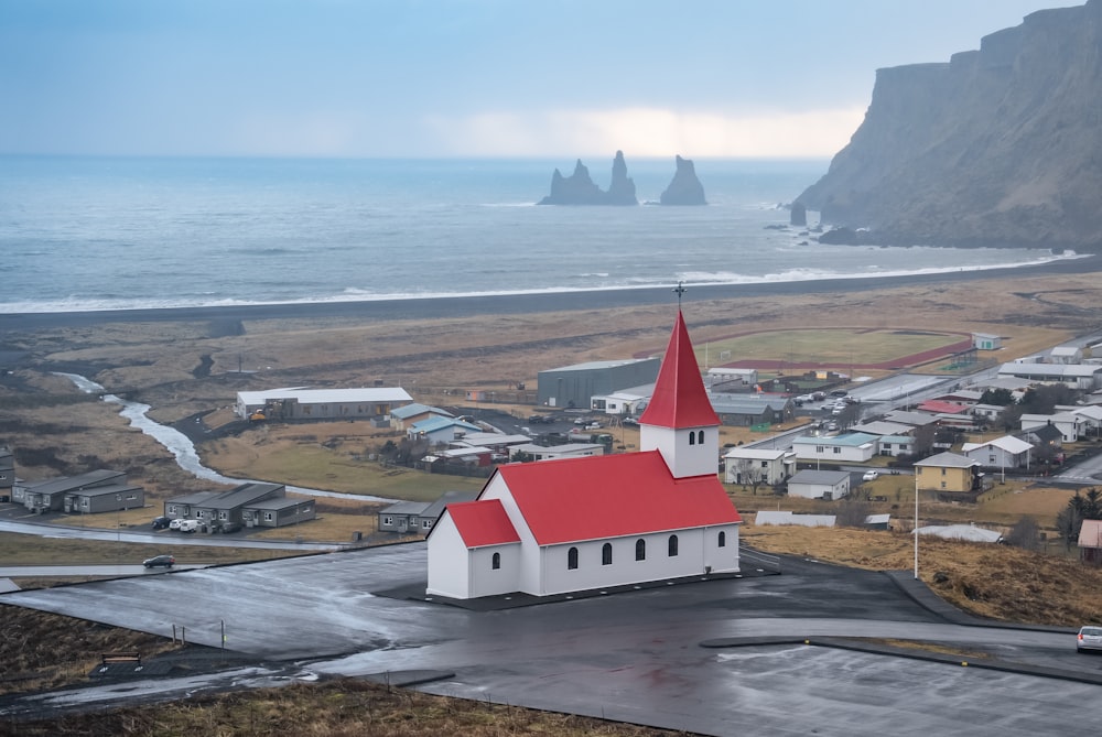
The southernmost village in Iceland, on the Ring Road about 185 kilometres southeast of Reykjavík, between the sea and the slopes under the…
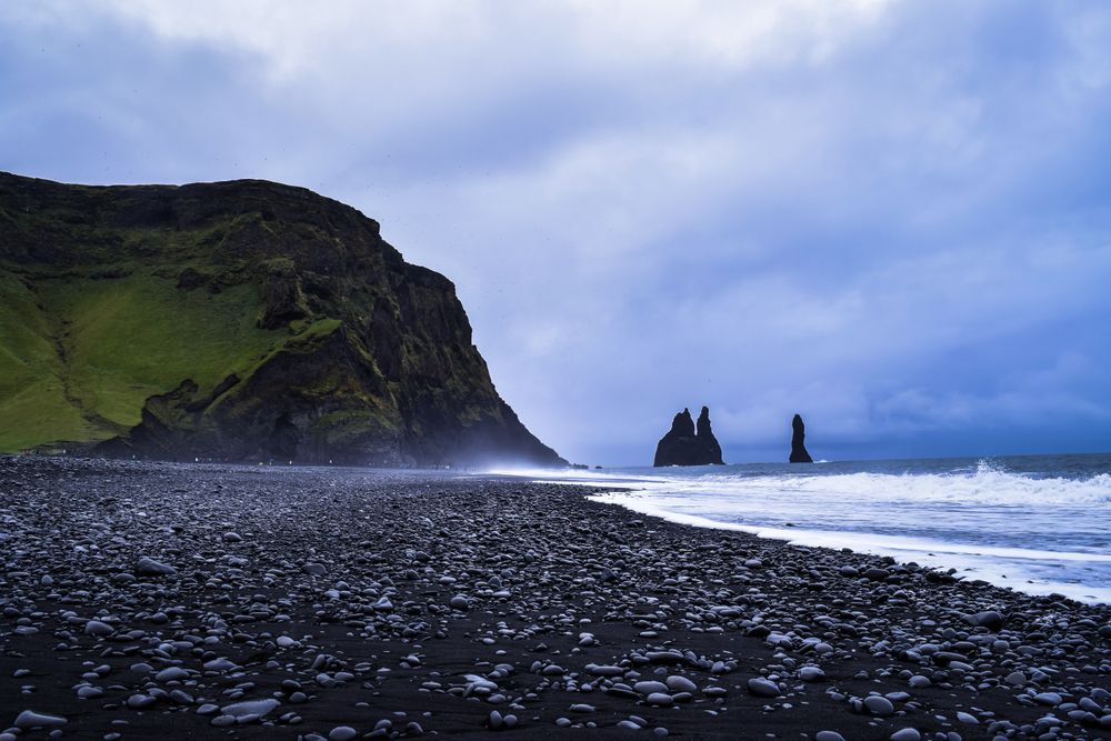
A black sand beach under Reynisfjall, backed by hexagonal basalt columns and the Hálsanefshellir sea cave, with the Reynisdrangar stacks…
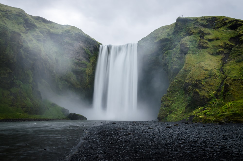
A 60 metre waterfall, 25 metres wide, on the Skógá river where it drops over the old coastal cliff line at Skógar. A staircase of 527 steps…
Last updated