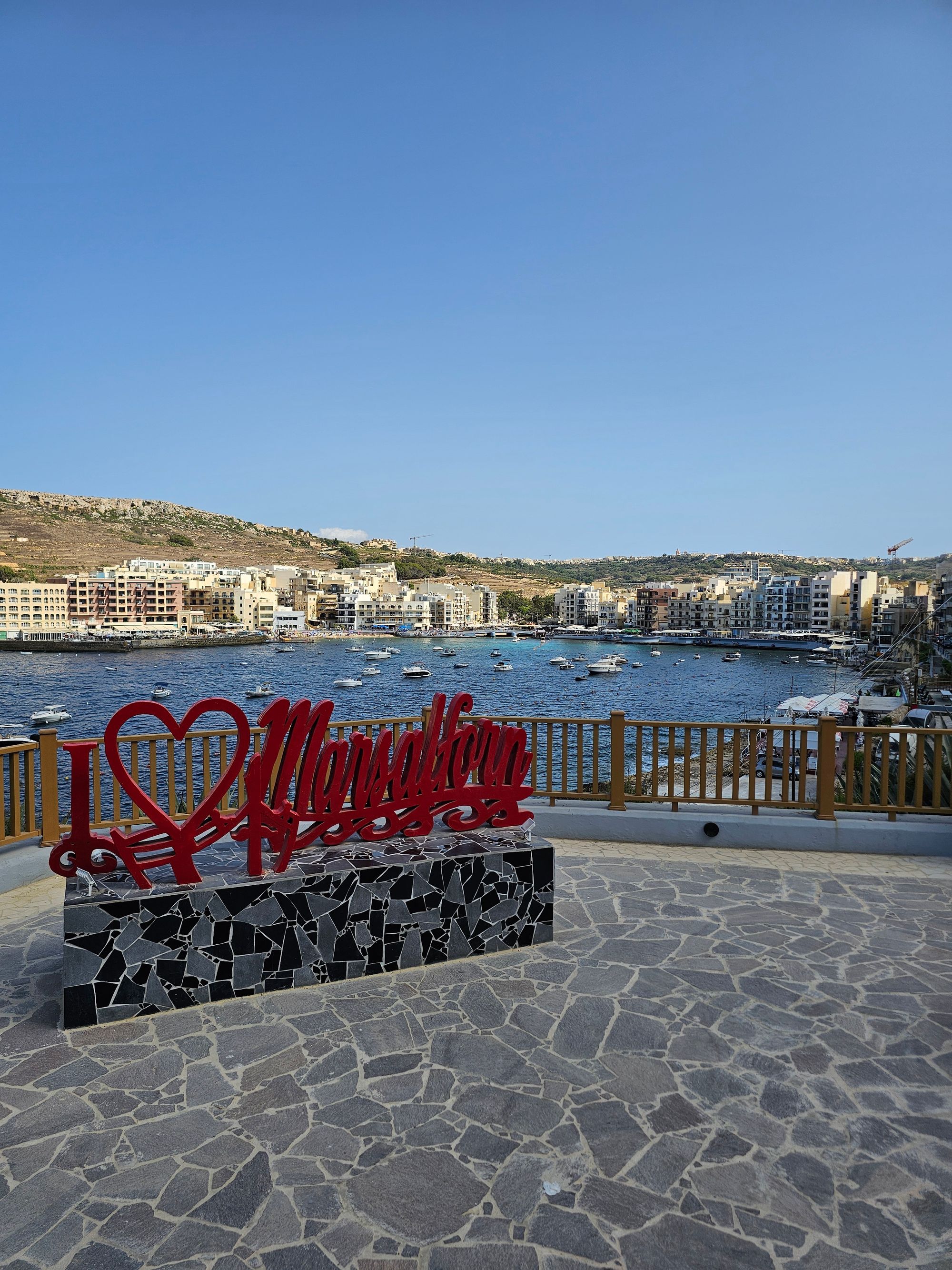
Come for the bay, not the sand: a small crescent of coarse beach, steel ladders into clear deep water, and fish restaurants along the promenade behind you.
Beach, Marsalforn. Meridian Dispatch.
Only in part. The sandy area is a narrow, partly imported strip rather than a wide beach. Most swimmers use the ladders along the jetties.
Route 310 runs from Victoria directly to Marsalforn in about ten minutes. From Mġarr Harbour, take 301, 303 or 323 to Victoria and change there.
Direct bus route 322 runs from the ferry terminal to the seafront terminus. Taxi and ride-hailing cars are usually easy to book after arrival on Gozo.
Use the public car park next to the Three Hills Gardens. One guide describes it as large and free, five to six minutes' walk from the beach, and quick to fill in midsummer. Seafront parking is limited.
Yes. Malta's national Blue Flag operator lists Marsalforn Bay among its awarded beaches. The flag is an international eco-label that covers water quality, environmental education, environmental management, safety and services.
Yes. The Blue Flag listing for Marsalforn Bay records access for people with special needs. The beach is managed by the Ministry for Gozo, and Nature Trust (Malta), which runs Blue Flag in Malta, answers questions on +356 2131 3150.
Marsalforn is Gozo's main seaside resort, a former fishing village in a sheltered bay. Its sand is a small triangle at the head of the water. Flat rock and concrete jetties make up the rest of the shore.
The promenade follows the waterline and links the fishing harbour to the rock platforms that frame the bay. Cafes and ice cream parlours face the colourful boats in the harbour.
Traditional townhouses and low-rise apartments curve around the water behind them, so the setting is built up. The appeal is the seafront and the clear water, which holds plenty of fish along the rocks. The bay is also a favourite starting point for divers.
Choose where to get in first. In the middle of the bay the water is shallow and calm, and the swimming area is marked out. The small patch of sand near the police station suits young children.
You can rent an umbrella and sunbed on the beach in summer, and kiosks stand close by. One beach guide reports lifeguards on duty in season. For deep water, go to the jetties and rock edges, where steel ladders lead in, and spread out on the rocks.
Next, rent a kayak, pedalo or jet ski on the spot, or a boat at the small marina. Evenings centre on the promenade.
To see more of the coast, follow the shore west past Qbajjar and Xwejni Bay to the salt pans, which one local guide calls a short walk from Marsalforn. Salt is harvested there from mid-May to the end of August.
Bring water shoes, because the bottom is pebbly. Late afternoon avoids the heat and the crowds. One guide advises against swimming in a swell, when the water turns murky and seaweed can wash up.
To snorkel, head for Għar Qawqla, a rocky outcrop near the bay. Divers new to the sport should ask about the beginner sites near the jetty. Several PADI-certified schools here run courses and guided dives, and the caves and reefs lie towards the neighbouring bays.
The promenade is not pedestrianised, so watch for cars. If a long stretch of sand is what you came for, the red beach at Ramla Bay lies a few kilometres east, by road or along the coast paths.
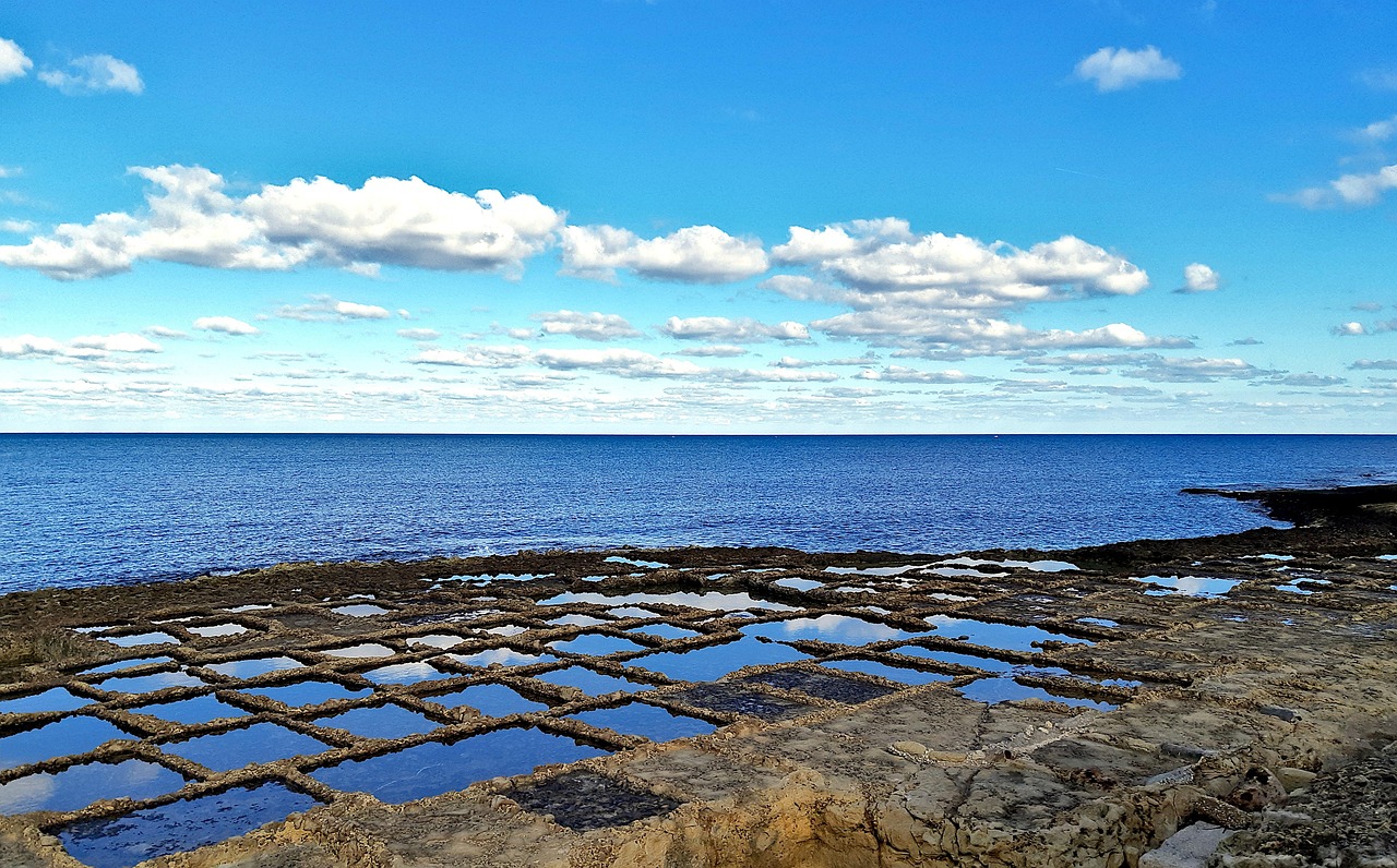
Gozo's salt pans start a walk west of Marsalforn, and the coast path runs on past them to a gorge with a pebble cove at its foot. Back in the bay, you climb down steel ladders off the rocks into deep water.
Read the Marsalforn guideExplore the rest of Marsalforn
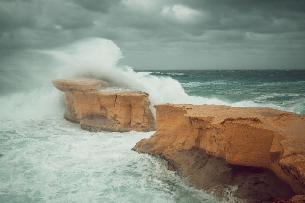
Just off the shore at Marsalforn, about 8 m out, a 3 m limestone pillar is all that remains of a natural arch that collapsed during the…
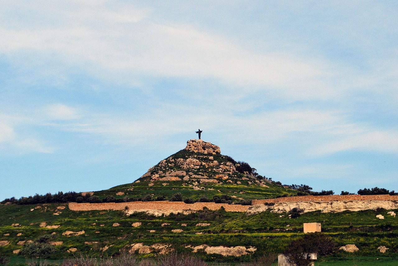
A concrete statue of the risen Christ on this hill above Marsalforn can be seen from much of Gozo. Pieces of its storm-felled predecessor…
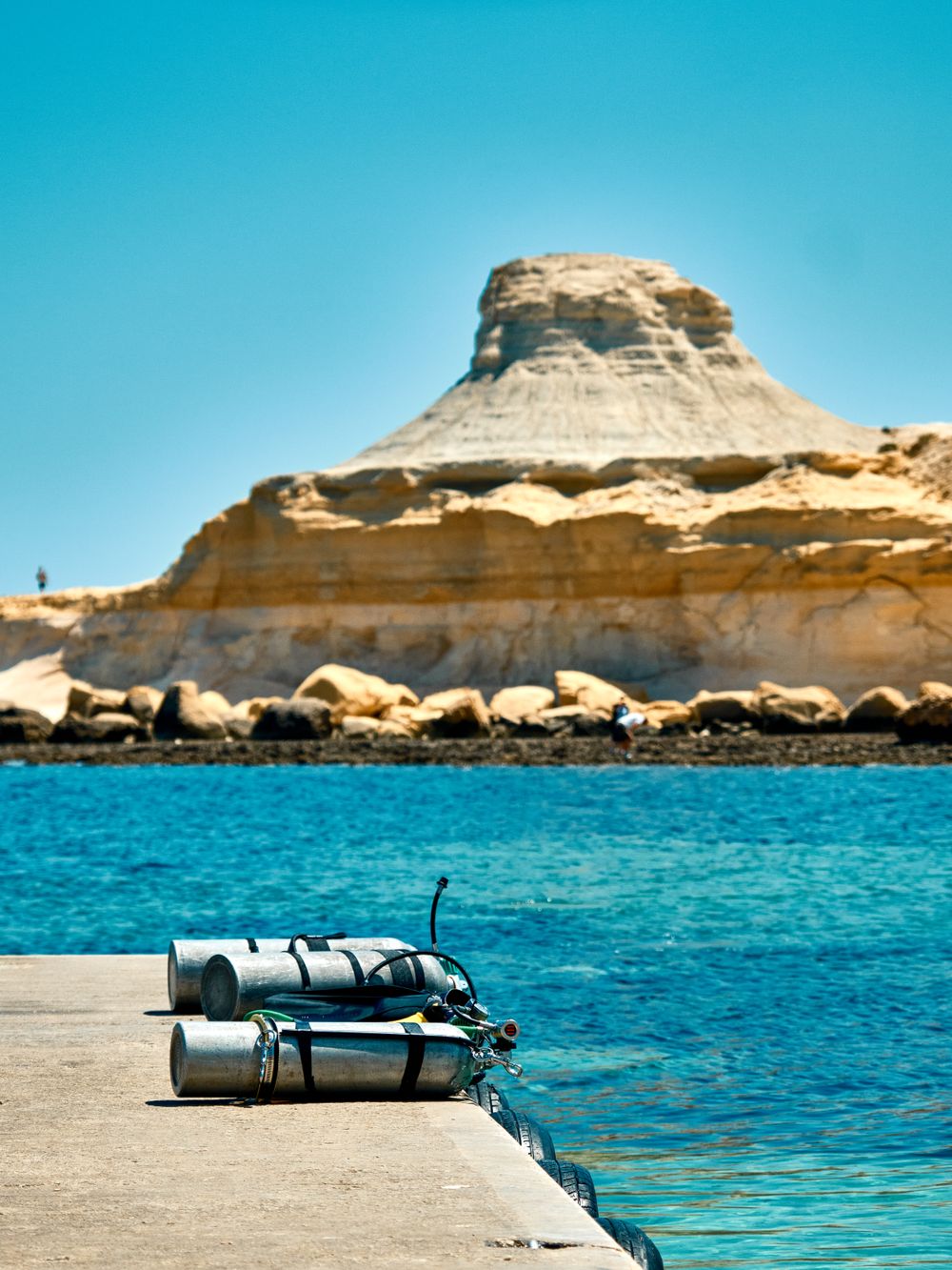
West of Marsalforn, a shallow inlet with a sliver of sand and wide flat rocks for sunbathing faces the pale cliff of Qolla l-Bajda. The…
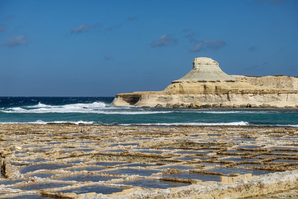
Hundreds of square pans cut into the flat rock along the shore fill with seawater in summer and dry to salt in the sun. Families who have…
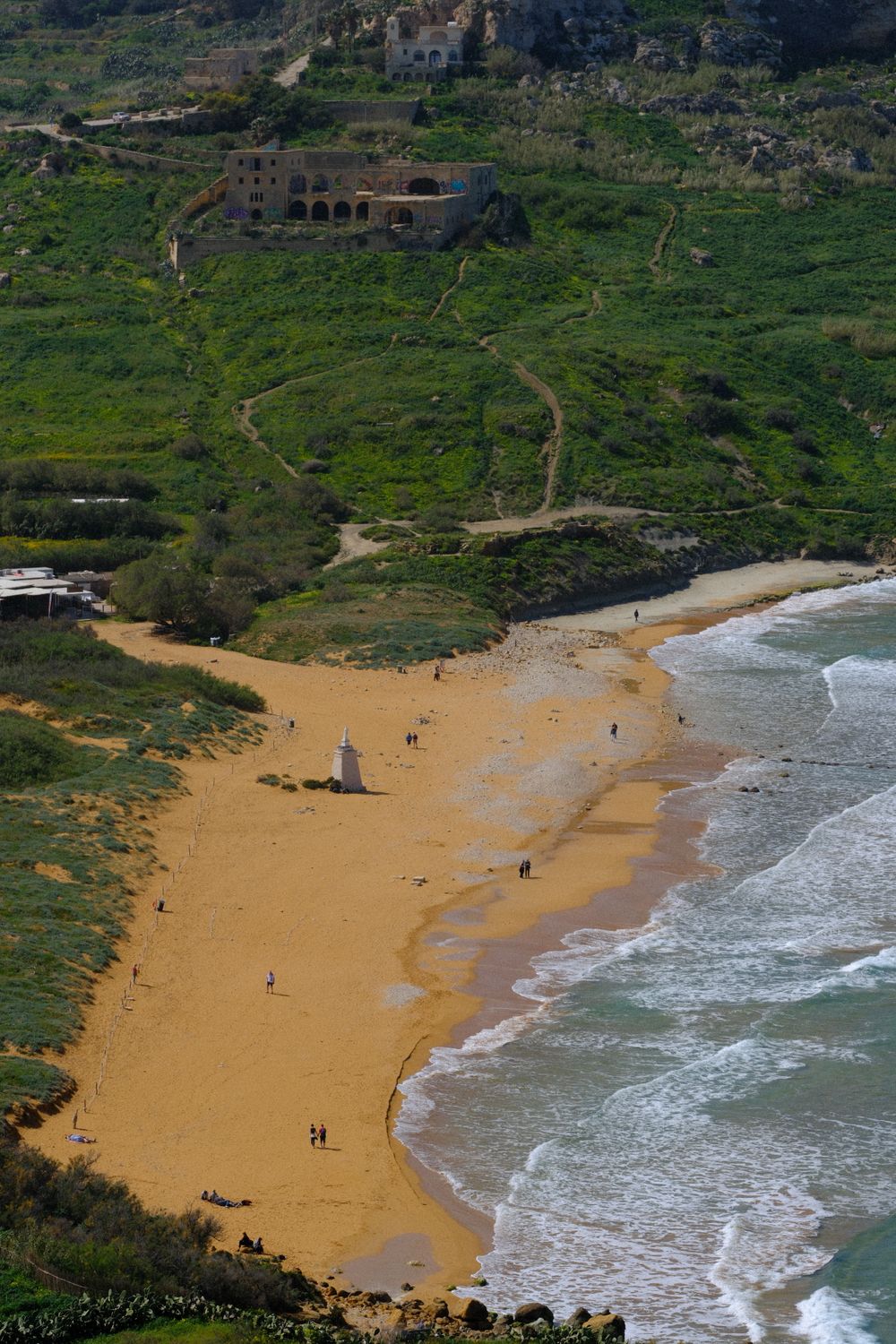
Red-orange sand fills this wide bay on the north coast, the largest sandy beach on Gozo, backed by protected dunes. The water shelves…
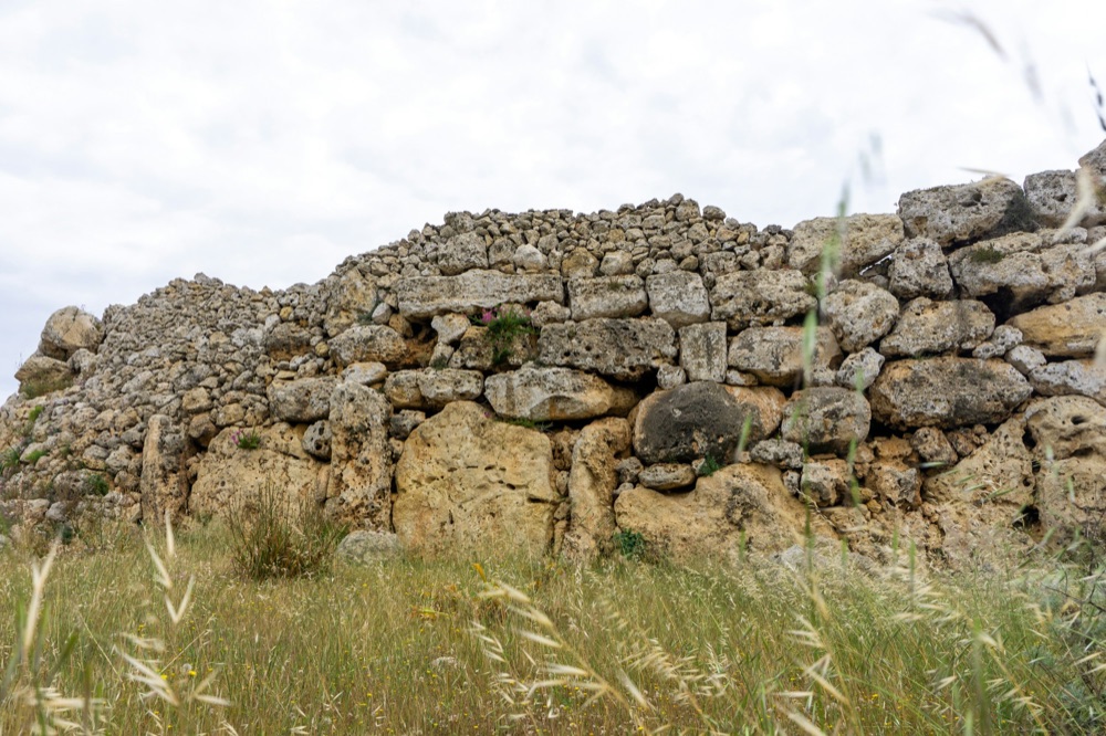
On high ground in north Gozo, Xagħra holds the Ġgantija temples, two Neolithic stone structures, and a village square with cafes. Ramla…
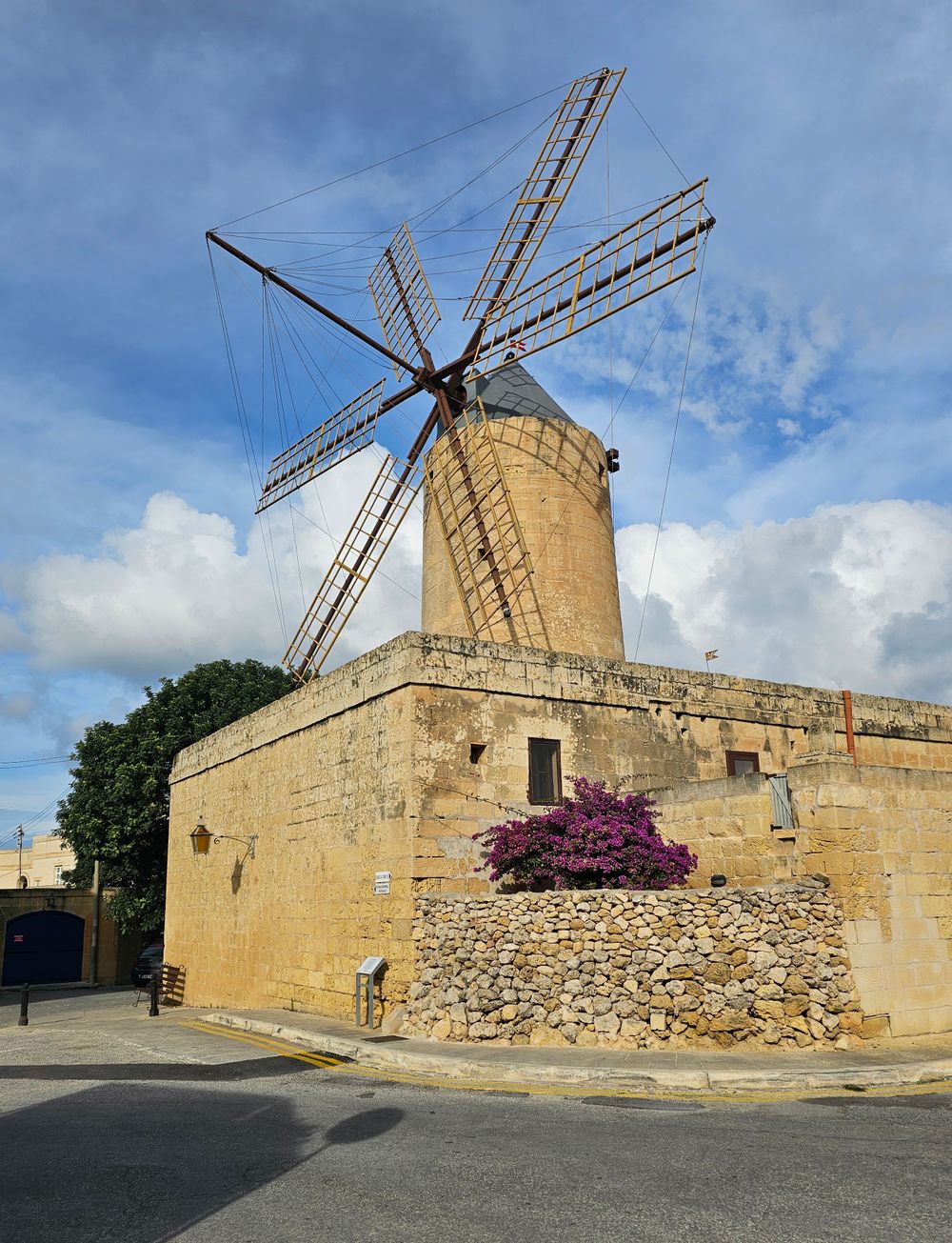
Sails, millstones and the miller's living rooms survive in this windmill a short walk from Ġgantija, and the Ġgantija ticket covers it.…
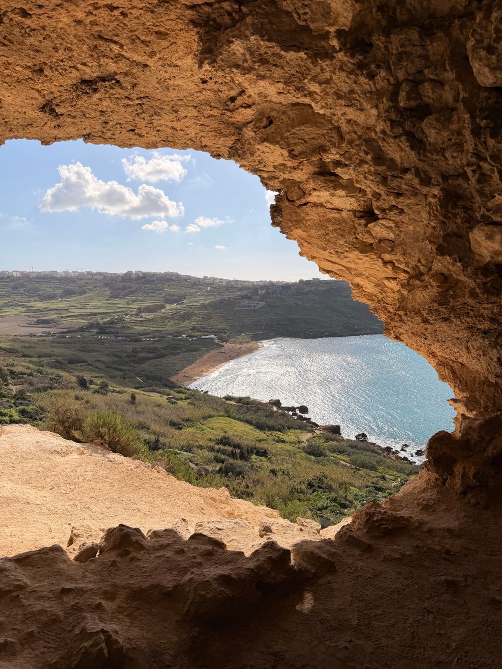
Above the eastern end of Ramla Bay, this natural cave looks straight down over the beach. Calypso's Cave sits on the opposite side of the…
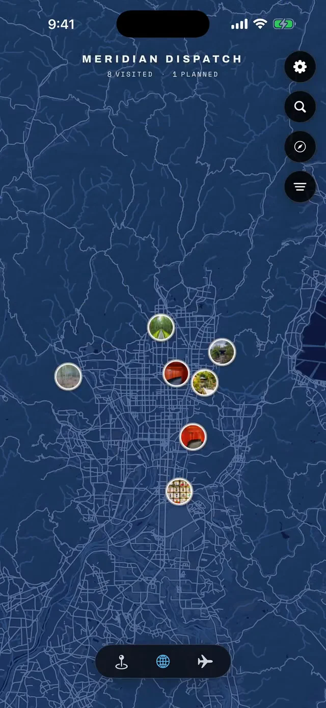
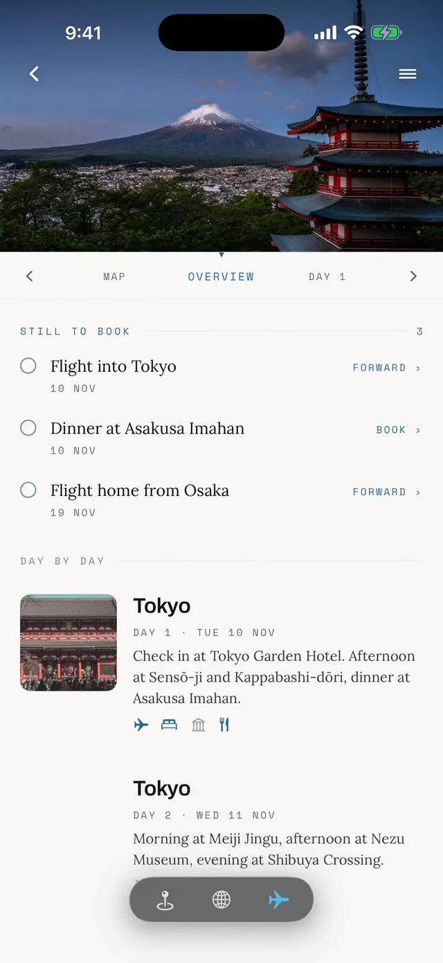

Save Marsalforn Bay to your Malta trip in the Meridian Dispatch app and build the day around it, with the best of Marsalforn pinned on one map.
Download on the App StoreLast updated