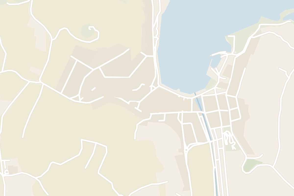
 4 min from the bay
Tas-Salvatur Hill
From the top of this hill above Marsalforn, you stand beneath the Risen Christ that much of Gozo sees on its skyline.
Read the guide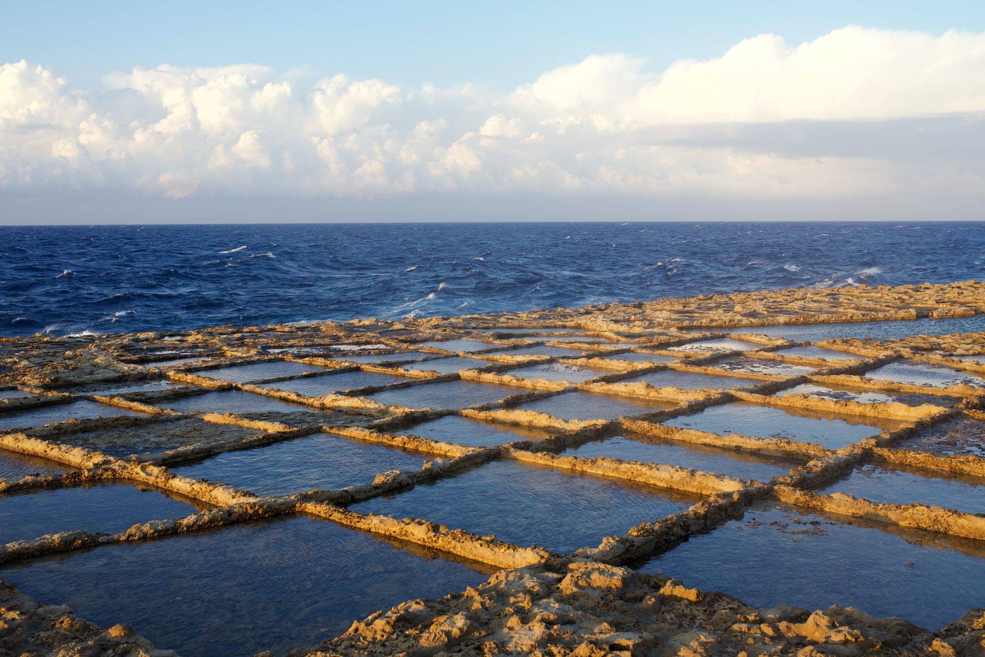
Gozo's salt pans start a walk west of Marsalforn, and the coast path runs on past them to a gorge with a pebble cove at its foot. Back in the bay, you climb down steel ladders off the rocks into deep water.
Town guide, Malta. Meridian Dispatch.
Ninety seconds on Marsalforn
Malta Public Transport route 322 runs between the Vapur stop at Mġarr harbour and Marsalforn, through Nadur, Ramla and Xagħra. No change at Victoria is needed. Malta Public Transport's route 322 page has each day's table.
Yes. Route 310 links the two and stops at Qbajjar and Xwejni on the way out from Victoria. Tickets are sold by the driver and stay valid for two hours, with free transfers in that time.
Yes. The beach at the head of the bay is small, and most swimming is from the surrounding rocks, with steel ladders into deeper water. Public toilets stand near the beach, and sunbeds and umbrellas are for hire in summer. Currents can be strong; when the red flag is up, do not swim.
Walk west along the coast, going by Qbajjar and Xwejni Bay. Alternatively, route 310 runs to the Xwejni stop, which is where the coastal path to the pans begins.
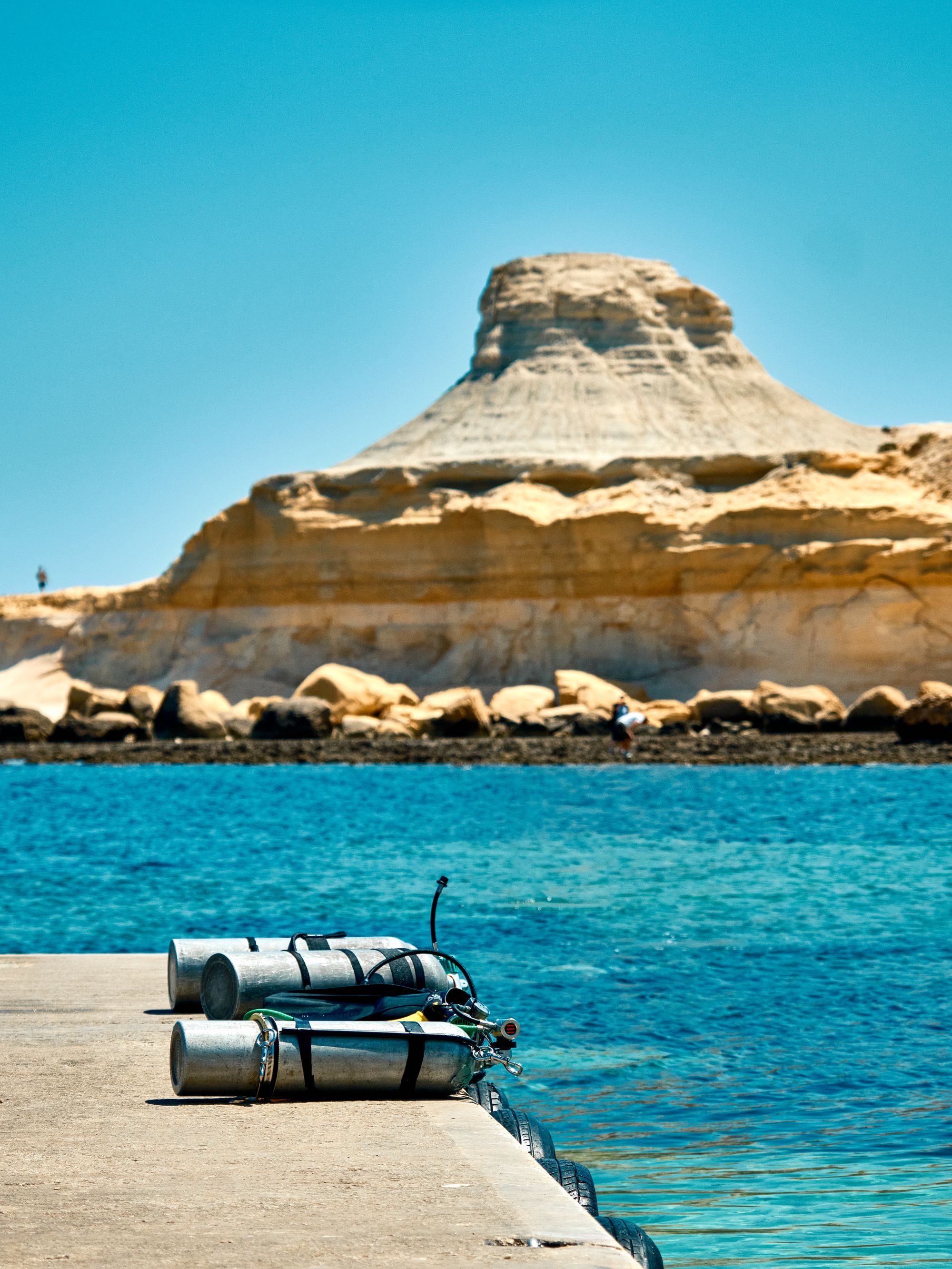
Yes. Operators based in Marsalforn run boat, shore and wreck dives.
Route TD1 runs from Malta International Airport, MLA, to Ċirkewwa. The Gozo Channel ferry crosses daily to Mġarr in about 25 minutes, and route 322 then runs from the harbour to Marsalforn.
Yes in summer, if you want to swim and walk the coast from your door. In winter, or without a car, Victoria is the easier base.
See all towns in MaltaCompare Malta town by town
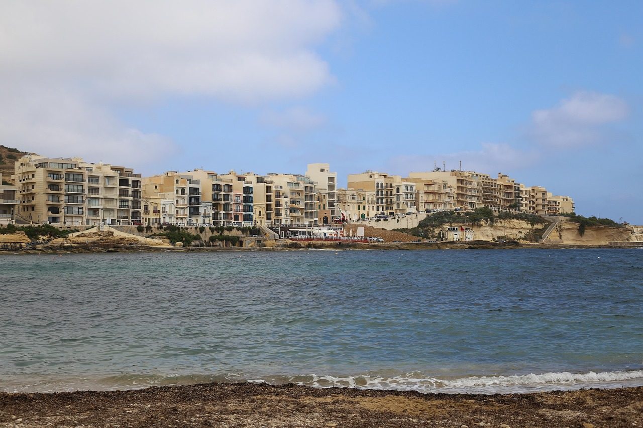
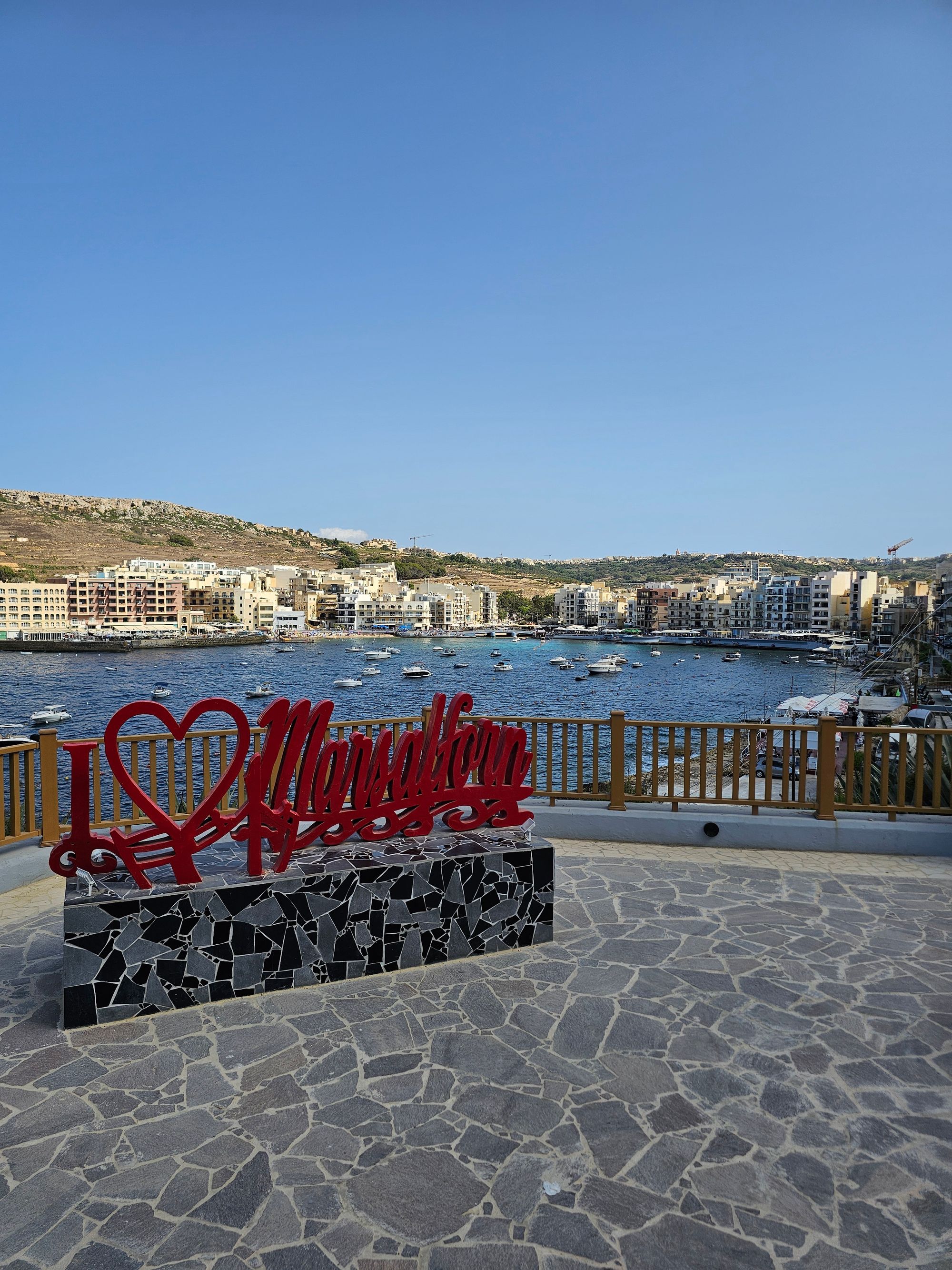
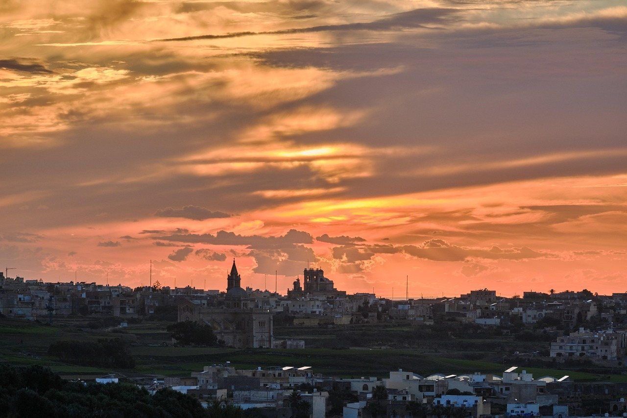
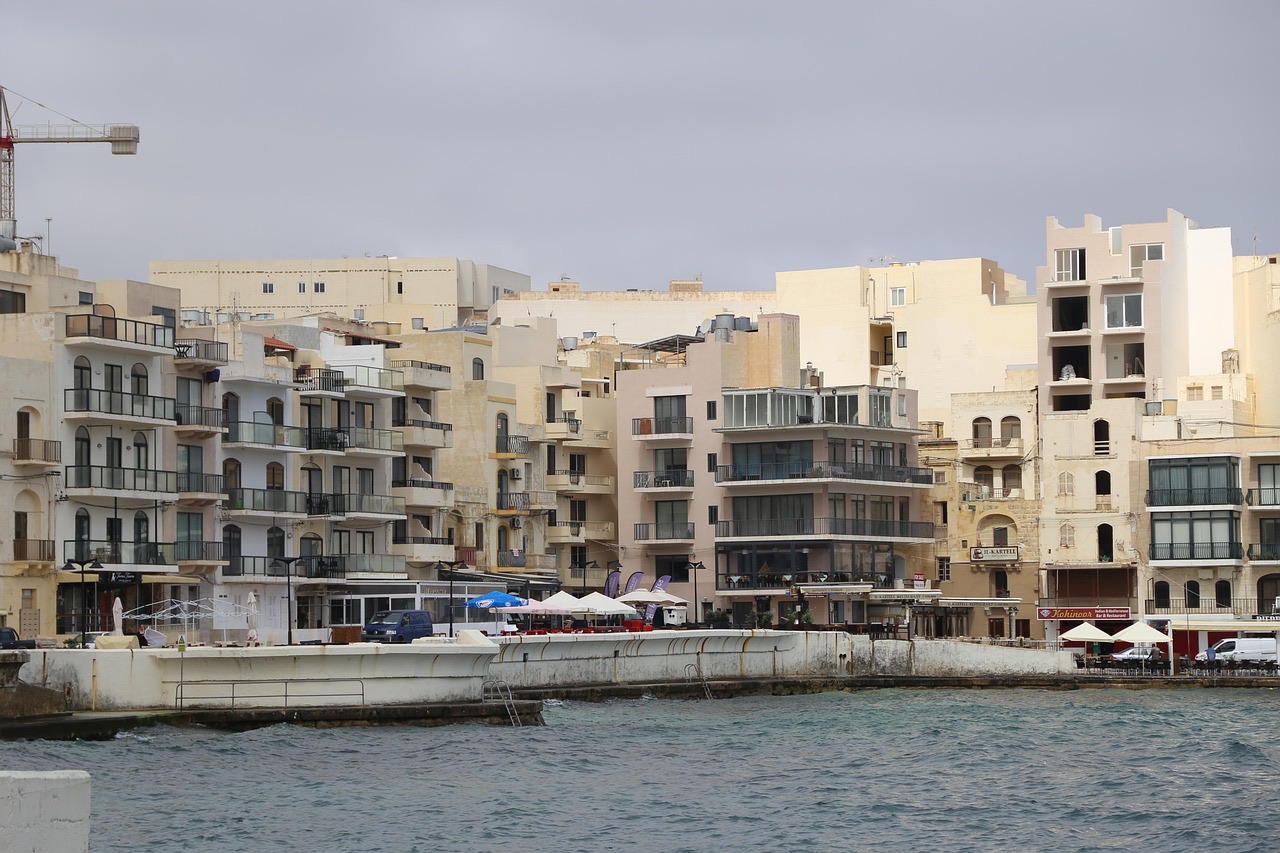
Marsalforn is a seaside town on Gozo's north coast, in a bay ringed by small hills, a short bus ride from Victoria. The shore west of town runs past the salt pans to the gorge of Wied il-Għasri.

Murella Living is a family-run house of 24 rooms on Triq il-Forn, a few minutes' walk from the beach.
Grouped by what each place is best for, from the ladders in the bay to the gorge at the end of the coast path.
The bay, Qbajjar and Għar Qawqla are on the promenade. The salt pans and Wied il-Għasri lie west along the coast path, and Tas-Salvatur and Żebbuġ are on the hills inland.
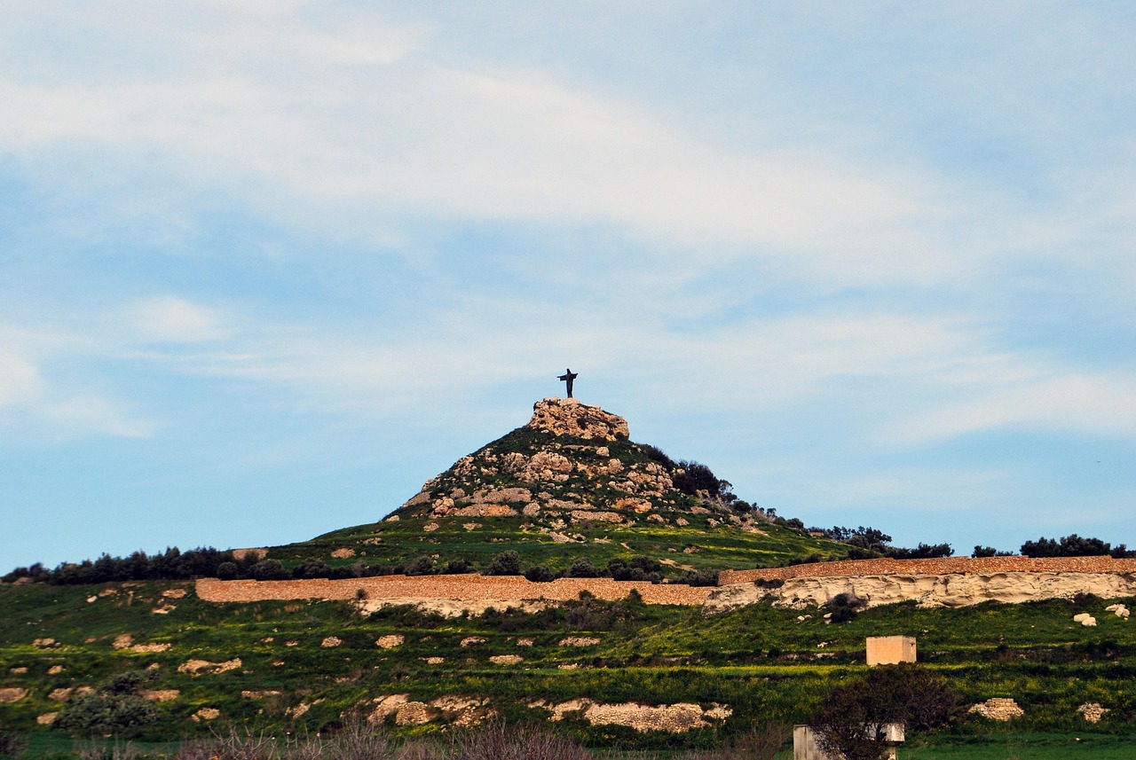
From the top of this hill above Marsalforn, you stand beneath the Risen Christ that much of Gozo sees on its skyline.
Read the guide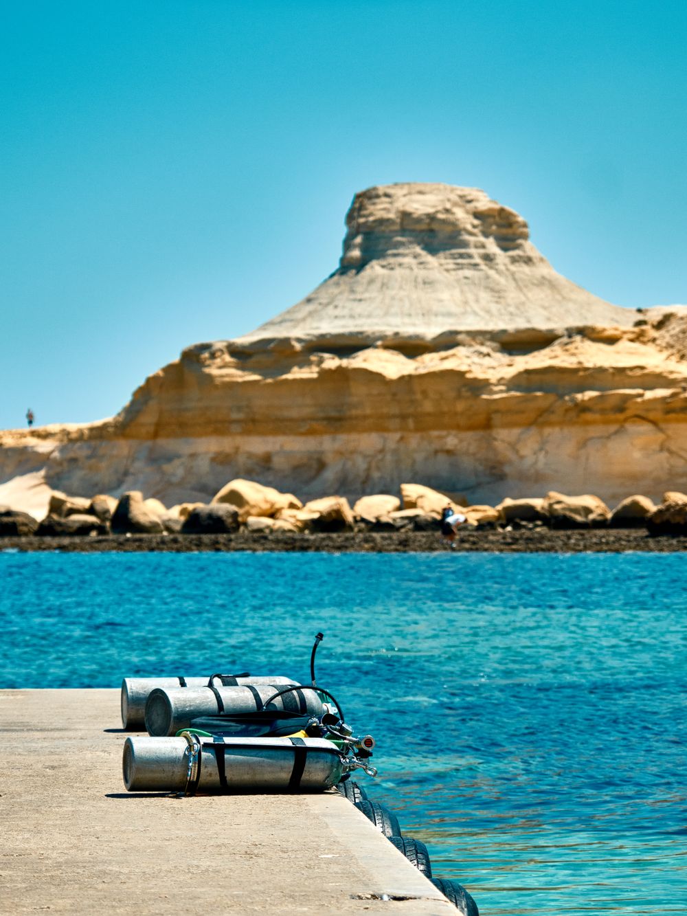
You get two things on one short shore walk from Marsalforn: a pebbly cove to swim from, and rock-cut salt pans just beyond it on Gozo's north coast.
Read the guide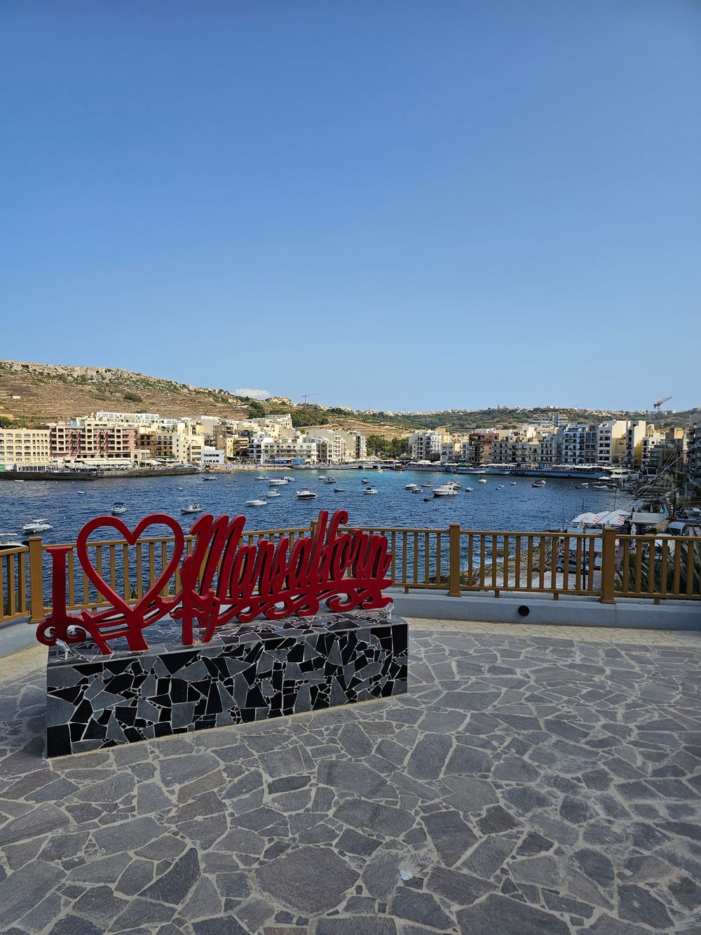
Come for the bay, not the sand: a small crescent of coarse beach, steel ladders into clear deep water, and fish restaurants along the promenade behind you.
Read the guide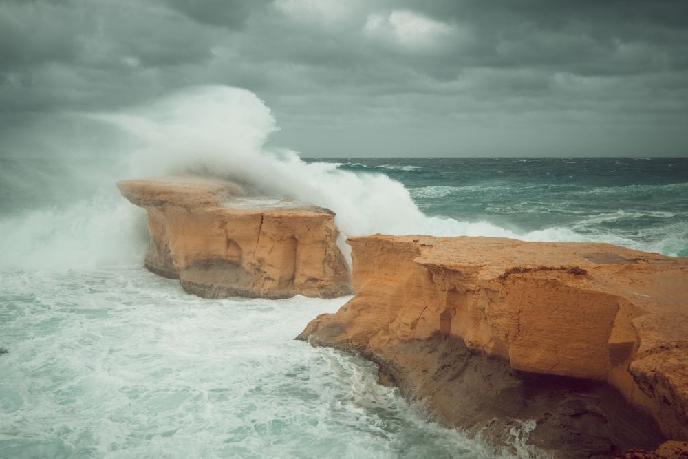
A limestone pillar a few metres off the shore east of the bay, all that is left of a collapsed arch. Swimmers jump from it; keep to calm days and wear shoes on the rough rock.
Read the guide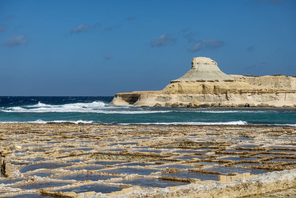
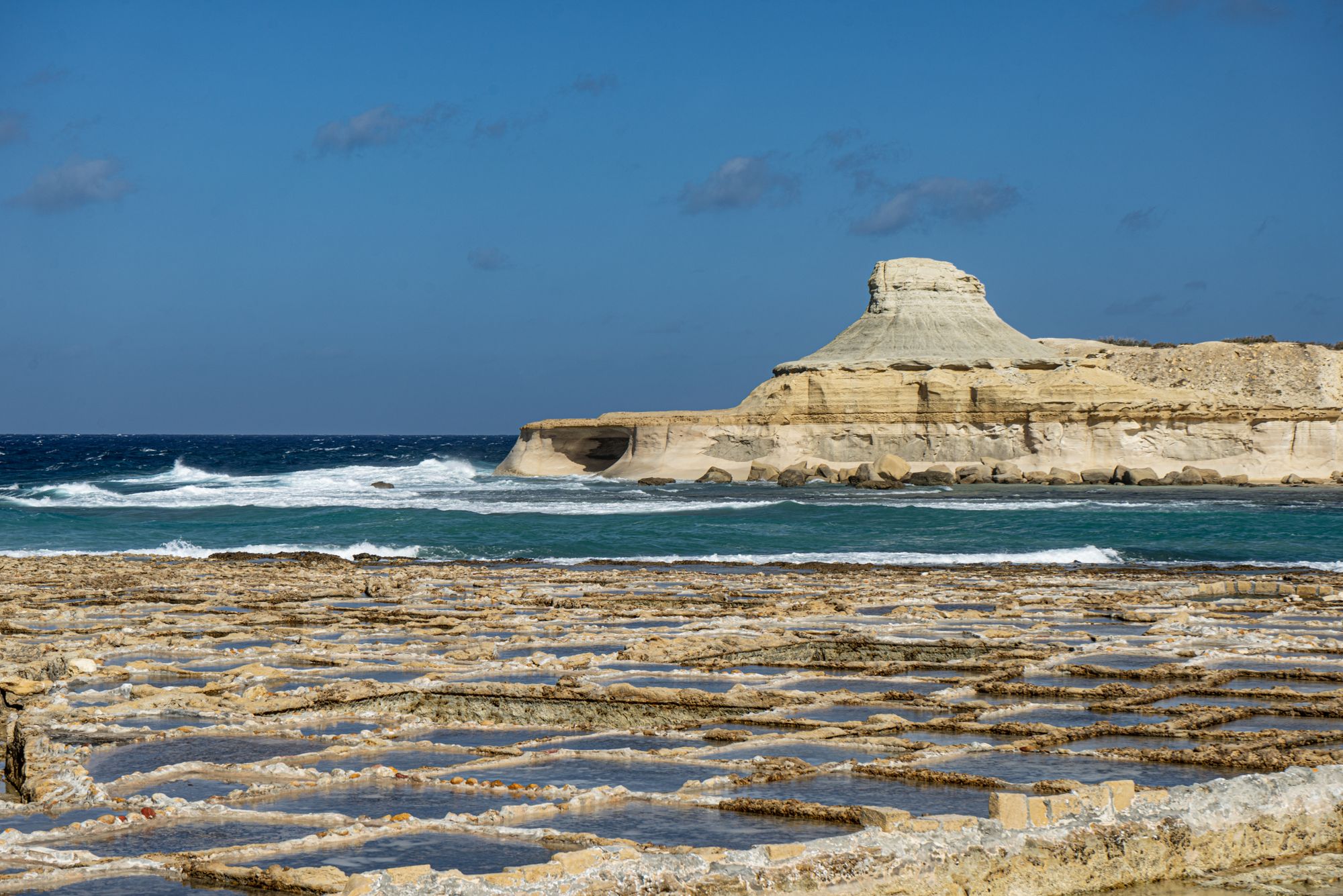
Walk the edge of a working salt farm on Gozo's north shore, just west of Marsalforn. In summer you can watch the salt being raked from the rock-cut pans and buy it from the family that makes it.
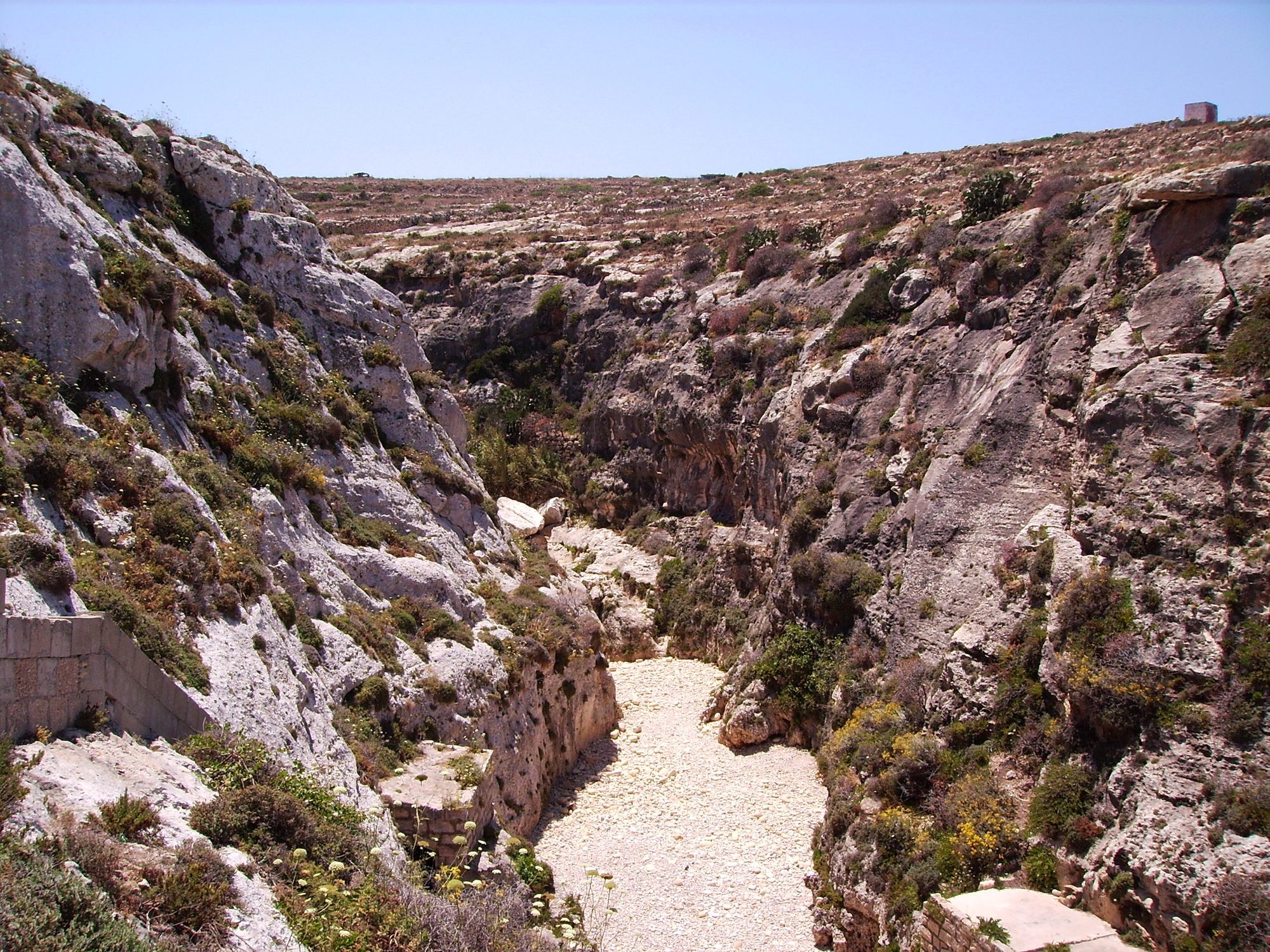
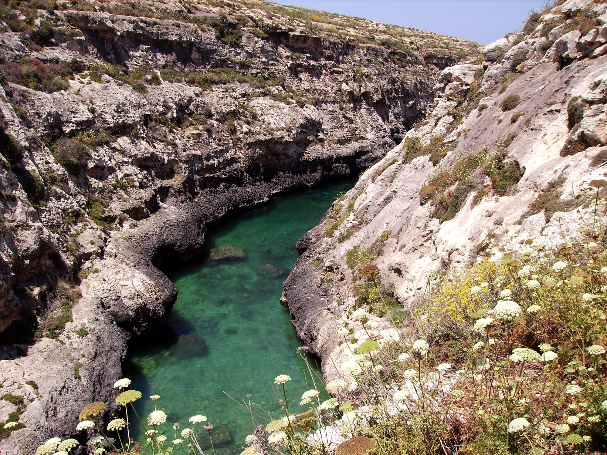
Read the guideThe coast path from Marsalforn crosses the salt pans to reach this narrow gorge, about 4 km one way. Steps cut into the cliff lead down to a pebble cove; swim only when the sea is flat.
Read the guideA rocky bay with a promenade and a few restaurants a kilometre west along the shore. You get into the water off flat rock, and the salt pans begin just beyond it.
Clay slopes and flat rock on the cliffs east of Marsalforn, with a small beach below and nothing built. Carry water and lunch in.
A wall at Gozo's northern tip drops from 5 m to beyond 40 m, with caves and overhangs. Currents make it a drift dive for advanced divers, run by dive centres in settled weather.
Onyx from a deposit at the edge of the village lines the inside of this hilltop church, from the high altar to the baptistery. It stands on the ridge inland from the salt pans.
The sand at the head of Marsalforn Bay is small, so most swimming is off the rocks and jetties. Qbajjar is a quieter bay a kilometre west, and Għajn Barrani is an unbuilt shore to the east.
Come for the bay, not the sand: a small crescent of coarse beach, steel ladders into clear deep water, and fish restaurants along the promenade behind you.
Read the guideA limestone pillar a few metres off the shore east of the bay, all that is left of a collapsed arch. Swimmers jump from it; keep to calm days and wear shoes on the rough rock.
Read the guideA rocky bay with a promenade and a few restaurants a kilometre west along the shore. You get into the water off flat rock, and the salt pans begin just beyond it.
Clay slopes and flat rock on the cliffs east of Marsalforn, with a small beach below and nothing built. Carry water and lunch in.
Past Qbajjar the road reaches Xwejni Bay, and beyond it the salt pans run along the shore. In summer families rake salt from them, and sometimes sell it by the road.
You get two things on one short shore walk from Marsalforn: a pebbly cove to swim from, and rock-cut salt pans just beyond it on Gozo's north coast.
Read the guideWalk the edge of a working salt farm on Gozo's north shore, just west of Marsalforn. In summer you can watch the salt being raked from the rock-cut pans and buy it from the family that makes it.
Read the guideA rocky bay with a promenade and a few restaurants a kilometre west along the shore. You get into the water off flat rock, and the salt pans begin just beyond it.
The coast path climbs past the pans onto bare cliff top and ends above Wied il-Għasri, where steps cut in the rock lead down to a pebble cove.
Walk the edge of a working salt farm on Gozo's north shore, just west of Marsalforn. In summer you can watch the salt being raked from the rock-cut pans and buy it from the family that makes it.
Read the guideThe coast path from Marsalforn crosses the salt pans to reach this narrow gorge, about 4 km one way. Steps cut into the cliff lead down to a pebble cove; swim only when the sea is flat.
Read the guideA wall at Gozo's northern tip drops from 5 m to beyond 40 m, with caves and overhangs. Currents make it a drift dive for advanced divers, run by dive centres in settled weather.
Dive centres in the bay run shore and boat dives along this coast. Reqqa Point is for advanced divers; for a first dive, ask about the beginner sites near the jetty.
You get two things on one short shore walk from Marsalforn: a pebbly cove to swim from, and rock-cut salt pans just beyond it on Gozo's north coast.
Read the guideA limestone pillar a few metres off the shore east of the bay, all that is left of a collapsed arch. Swimmers jump from it; keep to calm days and wear shoes on the rough rock.
Read the guideThe coast path from Marsalforn crosses the salt pans to reach this narrow gorge, about 4 km one way. Steps cut into the cliff lead down to a pebble cove; swim only when the sea is flat.
Read the guideA wall at Gozo's northern tip drops from 5 m to beyond 40 m, with caves and overhangs. Currents make it a drift dive for advanced divers, run by dive centres in settled weather.
Small hills ring the valley behind Marsalforn. The highest carries the statue of Christ, and Żebbuġ sits on the ridge to the west.
From the top of this hill above Marsalforn, you stand beneath the Risen Christ that much of Gozo sees on its skyline.
Read the guideOnyx from a deposit at the edge of the village lines the inside of this hilltop church, from the high altar to the baptistery. It stands on the ridge inland from the salt pans.
Walk the coast path in the cool of the morning, with the sea on your right. It runs from the promenade through Qbajjar and over the spur of Il-Qolla l-Bajda to Xwejni Bay. Beyond the bay the salt pans begin; keep to the path, since walking on the pans damages them.
Past the pans the path climbs onto bare rock along the cliff top, about 4 km from town in all, to Wied il-Għasri. Take the cut steps down to the cove and swim if the sea is flat. There is no shade, kiosk or lifeguard, so carry water and lunch.
Walk back the same way. Spend the afternoon at Marsalforn Bay: the ladders off the rocks reach deeper, clearer water than the sand at its head. Strong swimmers can head for Għar Qawqla, east of the bay, on a calm day.
Late in the day, when the heat has gone, walk up Tas-Salvatur Hill behind the town. The path is steep and rough, with no railings or shade, and the statue at the top looks over the whole island. Come down while it is light, and eat on the promenade.
Keep a second day for the water. Dive centres in the bay run the wall off Reqqa Point for advanced divers in settled weather. Without a dive, walk out to the empty cliffs of Għajn Barrani, east of town, with water and lunch.
Malta's one airport is at Luqa, on the main island, and Gozo is a ferry crossing beyond it. From the Gozo harbour at Mġarr, route 322 runs straight to Marsalforn without a change in Victoria.
Route TD1 runs hourly from the airport to Ċirkewwa; allow about an hour by bus or taxi. The Gozo Channel crossing to Mġarr takes about 25 minutes, with boats as often as every 30 minutes in the daytime.
Airport route TD4 runs to the Gozo fast ferry in Valletta's Grand Harbour. The boat carries foot passengers only, to Mġarr.
From the Vapur stop at the harbour, route 322 runs to Marsalforn through Nadur, Ramla and Xagħra. The day's timetable is on the Malta Public Transport route page.
On the car ferry, tickets are validated only when you board at Mġarr to leave Gozo, not at Ċirkewwa.
Every Malta town, place and dispatch, on one map.
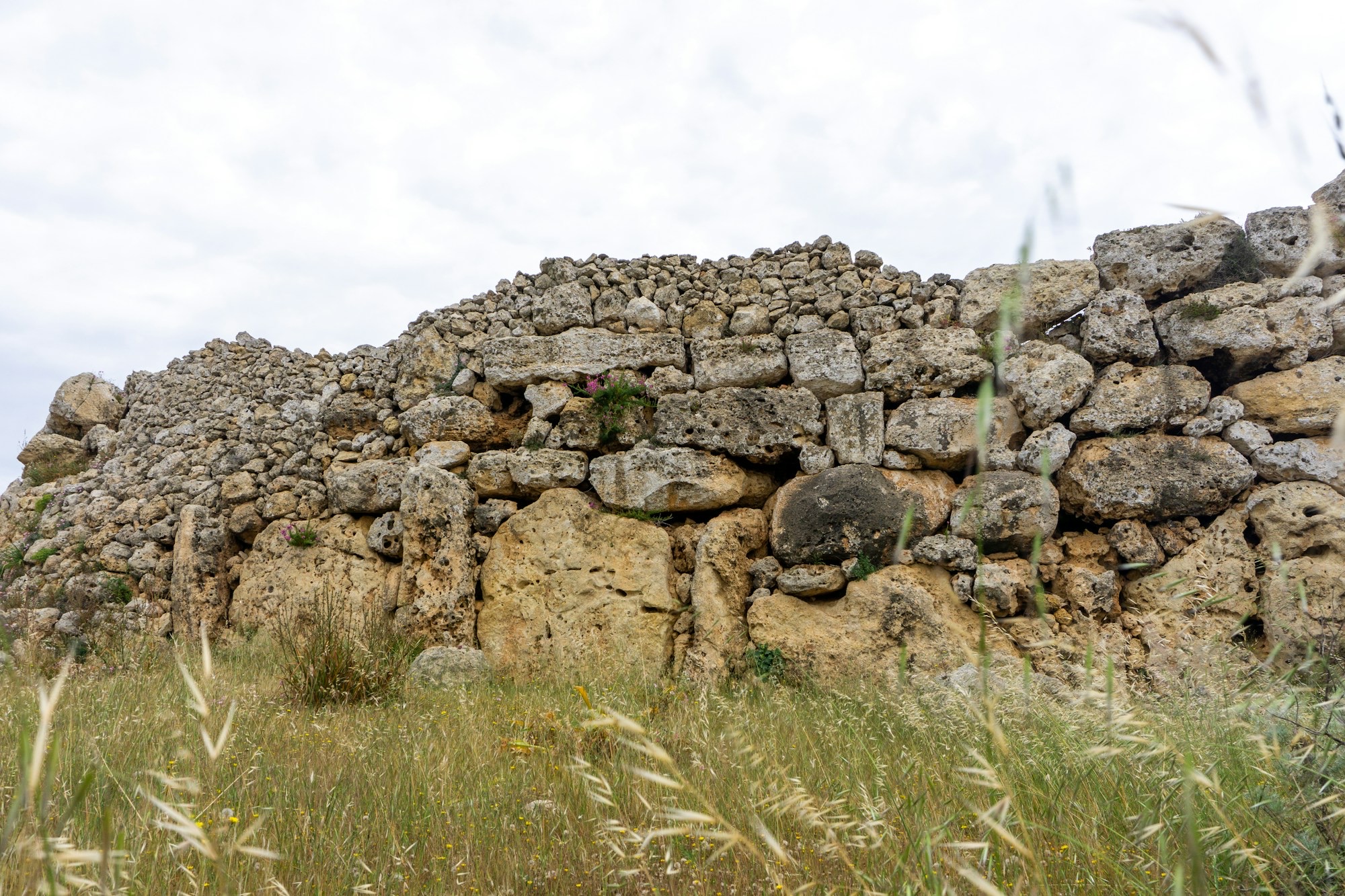
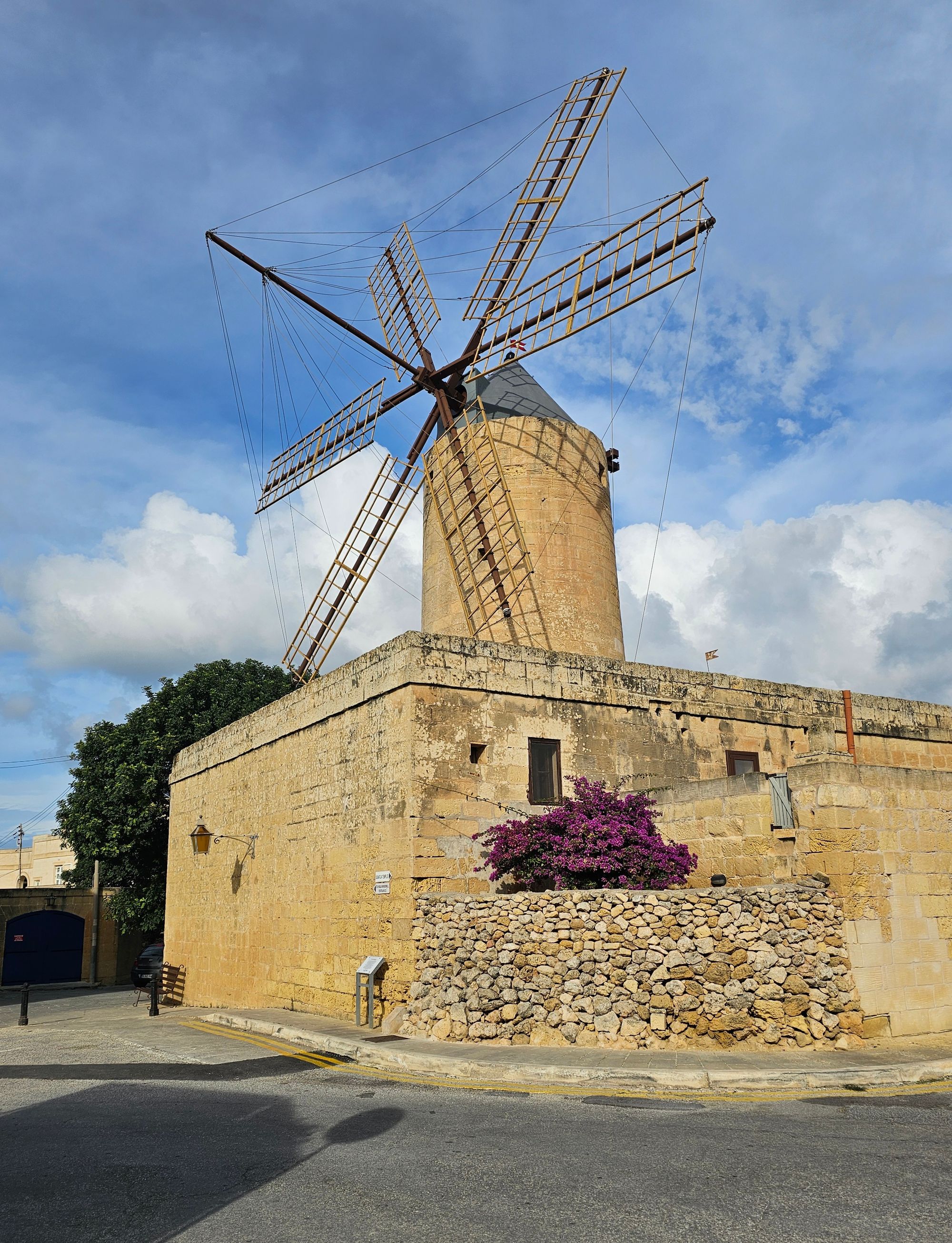
On high ground in north Gozo, Xagħra holds the Ġgantija temples, two Neolithic stone structures, and a village square with cafes.
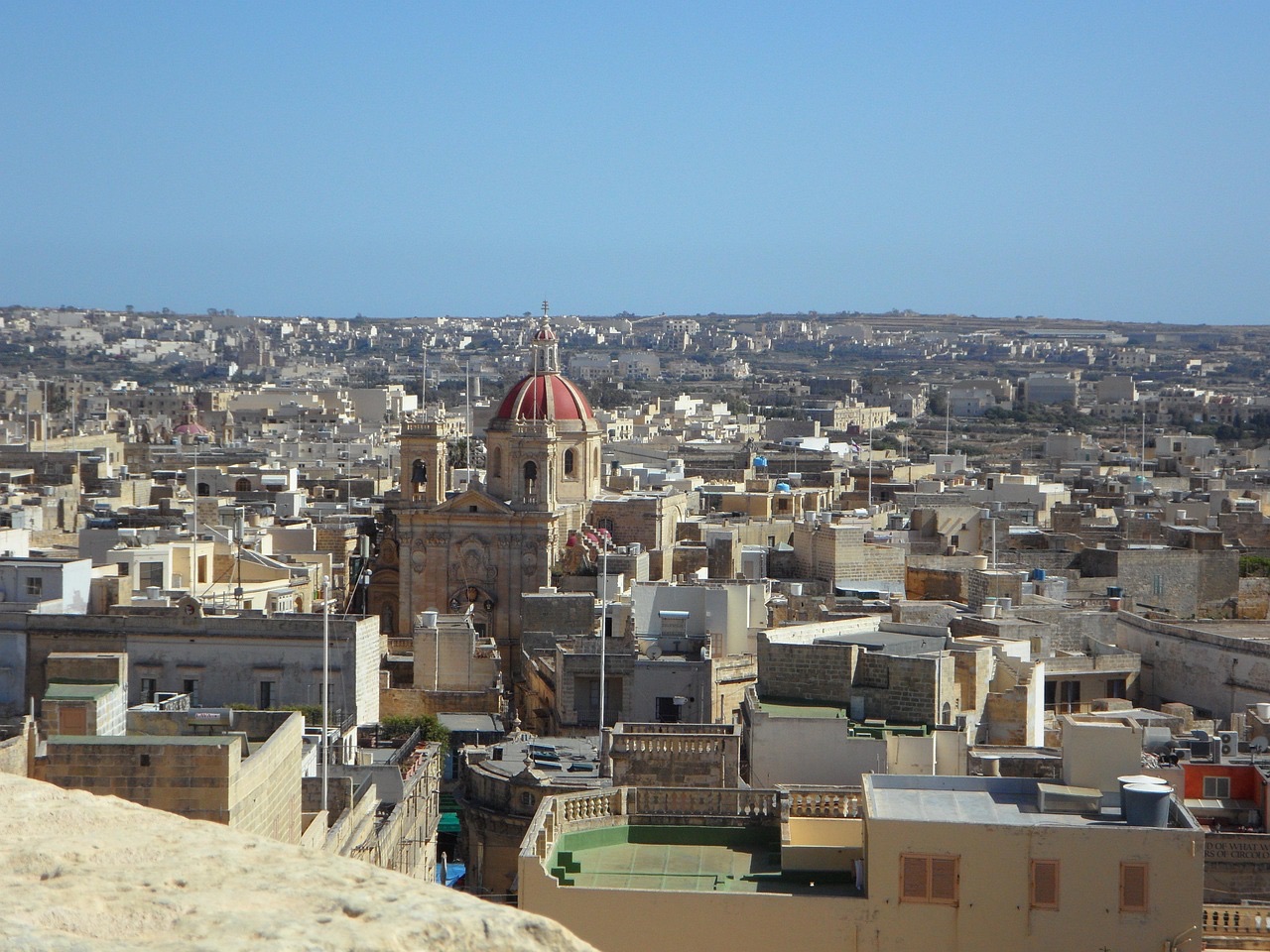
Gozo's capital stands mid-island, with its main bus terminal and the walled Cittadella.
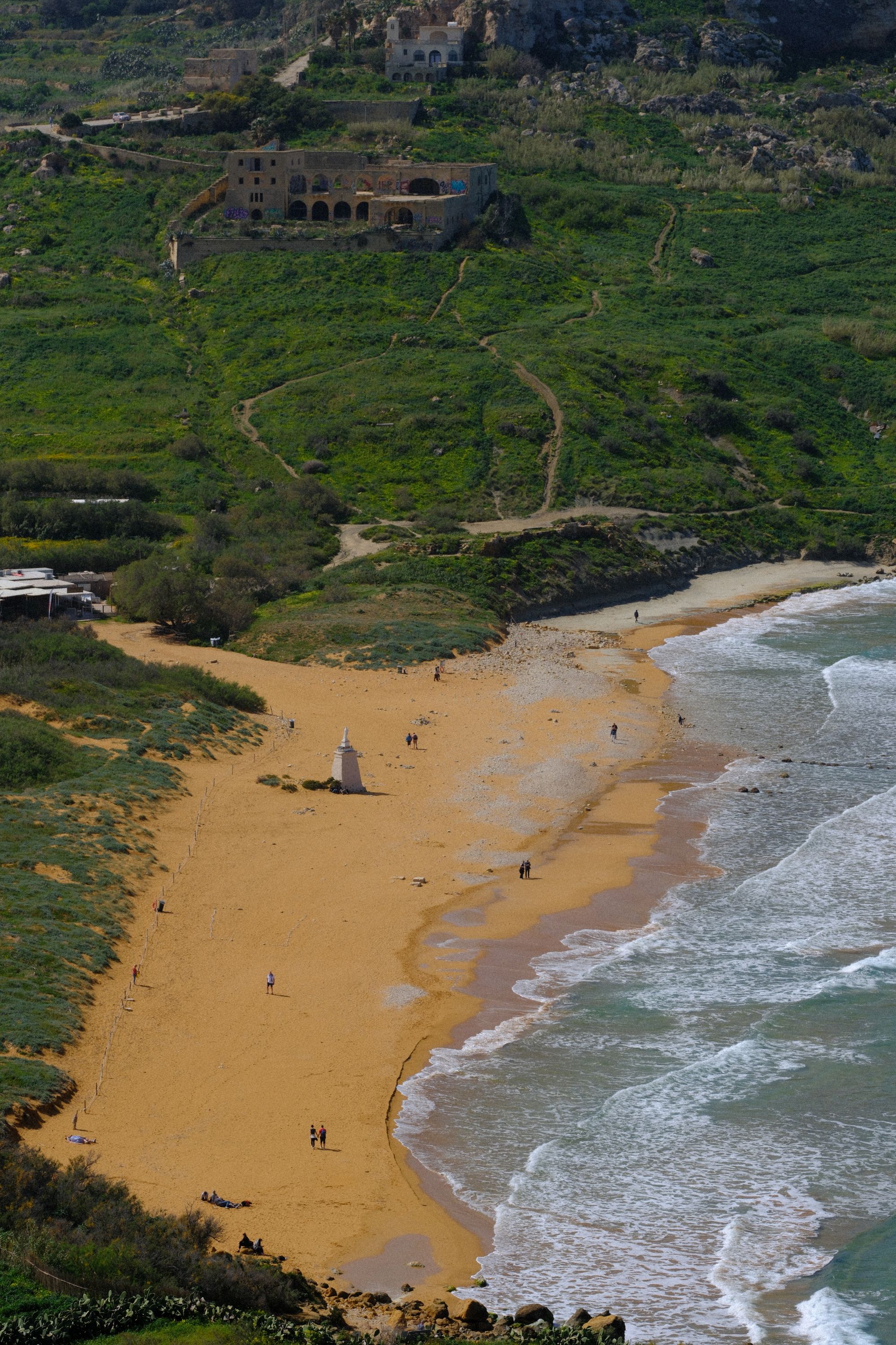
Red-gold sand sets Gozo's largest sandy beach apart.
The official pages this guide was checked against.
Last updated