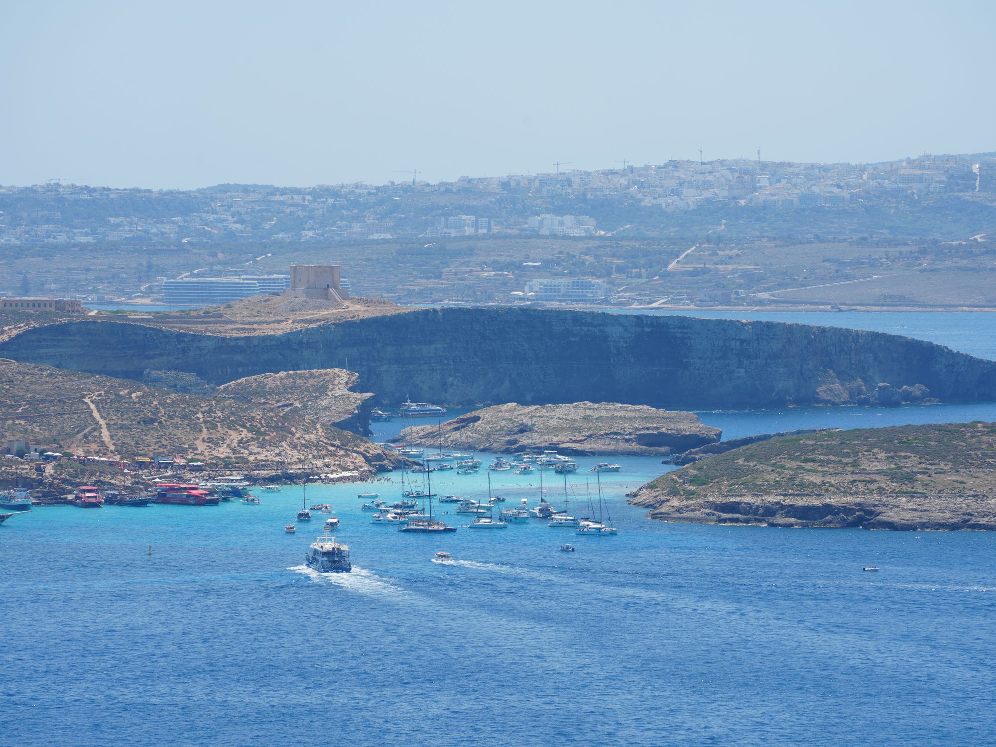
Comino's channel of turquoise water over white sand can only be reached by boat. You cross for the swim and that colour, then walk the island's paths to bays with far less company.
Beach, Mellieħa. Meridian Dispatch.
Yes, under the rules published for 2026, for anyone stepping ashore, including from a private or tour boat. Passes open up to 2 months ahead, and bookings cannot be changed. Children under 5 with a parent or guardian need none, and neither do walkers using the hardstanding paths straight through to areas beyond the lagoon.
Ferries run regularly in summer from both: Ċirkewwa, next to the Gozo ferry terminal, and Marfa, about 1 km before it. Any ferry works if it runs there and back within the booked slot and the operator is registered with Transport Malta.
Landing runs in three daily slots: Morning 08:00 to 13:00, Afternoon 13:30 to 17:30 and Sunset 18:00 to 22:00. As of November 2026, the Comino Ferries timetable lists its last boat back from the lagoon at 17:00, so the Sunset slot depends on a boat with a later return.
The best months are May and June, or September and October. In those months the weather is warm enough for swimming, without the stifling heat of high summer.
One guide names after 5 pm as the time the lagoon has more space. A visit that late depends on the return boat, so the operator's last departure is the time to check before booking.
The landing pass is free, but the boat is not. Operators charge for the crossing separately, and one operator's ferry ticket already includes landing access, which removes the need for a second QR code. Stepping ashore without a valid booking can bring a fine.
From anywhere on Malta, Valletta included, the cheapest route is a bus or car to the Ċirkewwa ferry stop in the north-west, then a shuttle boat of about 20 minutes. Sliema also has a direct boat, a slower ride of roughly 75 minutes, though only the Ċirkewwa route is dependable in winter.
Yes, in the shallows, where the seabed is sandy and the water clear. Longer swims across the channel toward Cominotto are riskier, because the current grows stronger in wind and boats use the channel to reach the lagoon, so swimmers go in pairs with a tow float.
No. Comino has no roads, so drivers park on the Malta side at Ċirkewwa and cross by shuttle boat. Once ashore, the whole island is explored on foot.
The Blue Lagoon is the channel between Comino and the smaller island of Cominotto. Its seabed is shallow and sandy, and the clear water above it turns the whole stretch turquoise.
The shore is rock rather than sand, with no trees and almost no natural cover. The lagoon is about the size of a couple of football pitches, and at midday in August it holds dozens of moored boats.
Comino's paths lead away from the water into scrub and out to viewpoints. Santa Marija Bay, about a 15-minute walk across the island, is the only proper sandy beach on Comino. A line of tamarisk trees gives real shade there, and a small chapel sits above the shore.
Crystal Lagoon is a deep inlet between high cliffs, with no sand and no kiosks. Santa Marija Tower is a 17th-century watchtower on the ridge, built by the Knights, with a view over the channel. As of November 2026, Din l-Art Ħelwa, the trust that runs it, lists it as closed for restoration works, so plan on seeing it from outside.
Book your pass for a slot that matches your boat. The official booking site says the ferry is paid for separately and its schedule is not linked to the slots. The Comino Ferries timetable says its own ticket includes landing access, so read your ticket before you book.
One reservation covers up to 4, and the QR code comes by email, to show on your phone or print.
Ċirkewwa, in the north-west of Malta, is the cheapest start by bus or car, and the crossing takes about 20 minutes. One visitor guide puts the bus at about 45 minutes and calls this the only dependable route off-season, with fewer boats in winter. It gives a direct boat from Sliema around an hour and a quarter, and Visit Gozo puts the trip from Mġarr at around 15 minutes.
Before you step off, your code is scanned and you get a wristband. You can leave and come back within your slot, and you hand the wristband back before you go.
Sunbeds and parasols come from the kiosks on the rocks. A path runs from the lagoon to Crystal Lagoon in about 10 to 15 minutes and continues to Santa Marija Tower.
Avoid midday because of the crowds. One Malta guide says that staying aboard an anchored boat and swimming from it needs no pass, since the pass covers landing only.
Bring cash, because card acceptance at the kiosks is patchy and Comino has no ATM. Bring a parasol or beach tent if you are not renting one, and shoes for the rocks and the dusty paths. Comino has no shops beyond seasonal kiosks, so outside the peak season carry your own food.
If you swim across to Cominotto, go with someone and use a tow float. The same guide warns that the current picks up with the wind, and that every boat entering the lagoon passes through that channel.
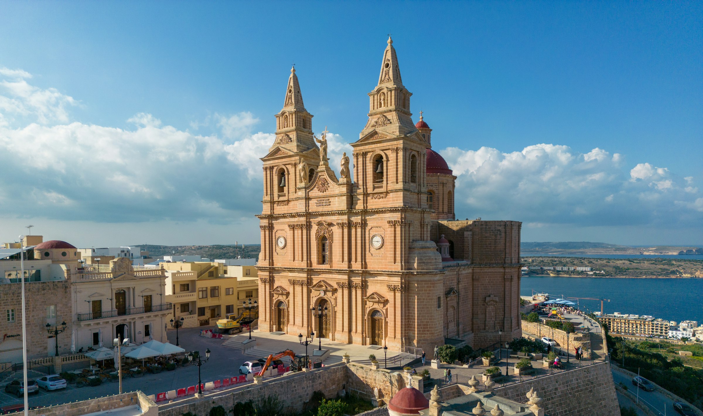
Mellieħa's ridge gives you a quiet night above the bay: the sand is about 3 km downhill, and the Parish Church terrace looks back over it in the evening.
Read the Mellieħa guideExplore the rest of Mellieħa
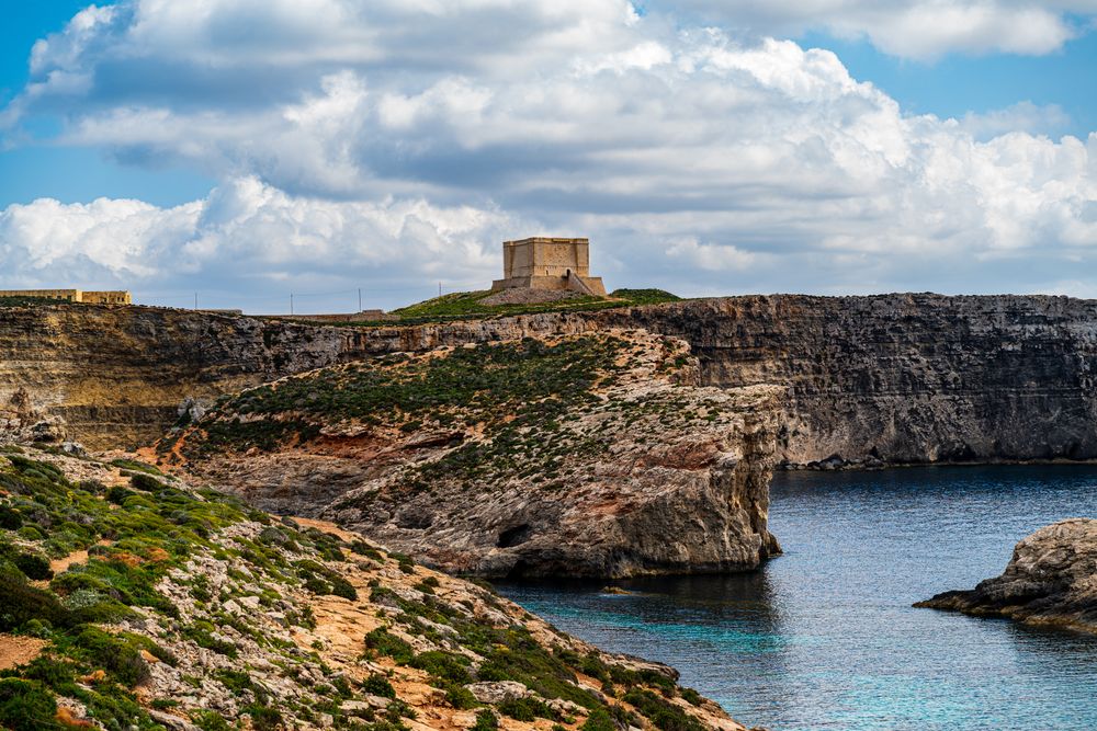
Standing alone on the high ground of Comino, this large square tower was built by the Knights to guard the channel between Malta and Gozo.…
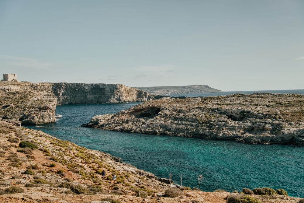

The small island between Malta and Gozo has no cars, and tracks cross it from the Blue Lagoon to Santa Marija Tower on the southern cliffs.…
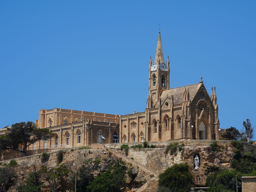
Steep roofs, lancet windows and pinnacled buttresses make this Gothic chapel easy to pick out above the quay. It stands on a promontory…
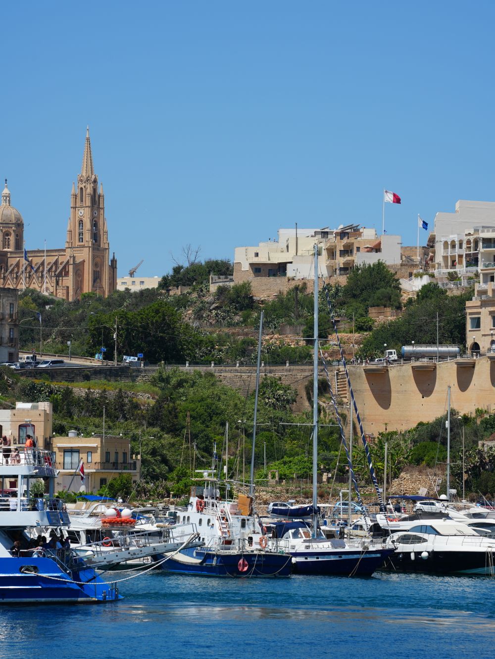
Ferries from Malta land at this small harbour in Għajnsielem, a crossing point since at least 1241. Fishing boats share the water with the…
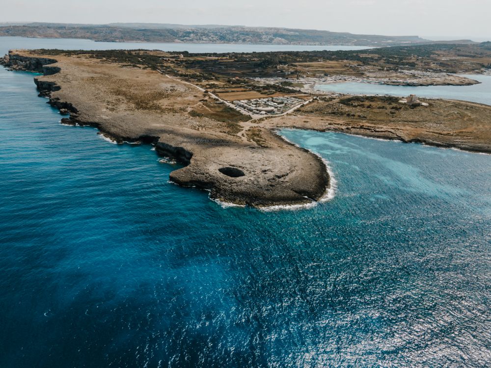
Near the northern tip of the Marfa ridge, a collapsed sea cave has left a round pool open to the sky, joined to the sea by an arch.…
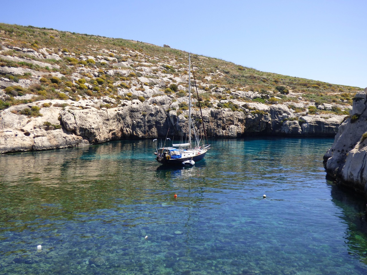
A long, narrow inlet runs between steep valley sides to a pebble beach at its head, reached by a winding road from Xewkija or Sannat. The…
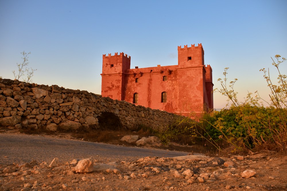
Painted deep red, St Agatha's Tower sits on the crest of the Marfa ridge, a Knights-era fort with corner turrets. Inside are restored rooms…
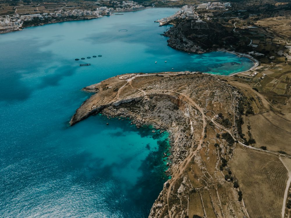
The longest sandy beach on Malta runs along Għadira, at the foot of the Mellieħa ridge. Shallow, calm water stays waist-deep a long way…

Save Blue Lagoon to your Malta trip in the Meridian Dispatch app and build the day around it, with the best of Mellieħa pinned on one map.
Download on the App StoreThe official pages this guide was checked against.
Last updated