
Give Comino a morning and you can walk round the whole island, along the south cliffs and back to the Blue Lagoon for a swim.
Hike, Mellieħa. Meridian Dispatch.
About 6.5 km with the short spurs to the Crystal Lagoon, the battery and Santa Marija Bay. The official loop is graded easy and begins and finishes at the Blue Lagoon, and circling the entire island on foot takes about three hours.
Not to walk through. Under the 2026 rules, walkers who use the hardstanding paths to reach areas beyond the Blue Lagoon, without stopping in it, need no landing pass. Anyone staying within the lagoon boundary needs the free timed pass booked on blcomino.com.
By passenger boat from Ċirkewwa or Marfa on Malta, or from Mġarr Harbour on Gozo. The crossing from Malta takes about 20 minutes and the one from Mġarr about 15.
No. As of November 2026, Din l-Art Ħelwa, the heritage trust that runs it, lists the tower as closed for restoration works. The loop passes right beside it, so the outside and the view are still part of the walk.
October to May, the walking season recommended for the official route. In winter nothing is sold on the island, so walkers carry their own food and drink.
No. Comino is the whole island, a protected area of about 3 square kilometres that belongs to Għajnsielem on Gozo. The Blue Lagoon is the landing and swimming cove on it, and the circular walk begins and finishes there.
No. Vehicles are not allowed on Comino, which has no roads, so the island is explored on foot. Hunting is banned as well, which is why the wild rabbits are easier to spot here than elsewhere.
No shops at all. Apart from a few kiosks that open in peak season, Comino has no facilities, and water is as hard to find on the paths as shade. Walkers carry enough to drink for the whole loop.
Yes. Santa Marija Bay, on the north side about 15 minutes' walk across the island, is Comino's only proper sandy beach. A line of tamarisk trees gives it real shade, and it draws a small fraction of the lagoon's crowd.
Comino is named after cumin, a spice once harvested on the island. In Maltese the island is called Kemmuna, which comes from the same word as the spice.
Almost no one: only two people live on Comino. A small farming community once worked the island, but most families eventually moved to Gozo or Malta because of its isolation, limited resources and lack of infrastructure.
The line includes the short spurs to the Crystal Lagoon, the battery and Santa Marija Bay.
Comino is a small island of hard limestone between Malta and Gozo. Hunting is banned, and no cars are allowed beyond a few service vehicles.
The south coast is the dramatic half of the loop. The path keeps to the cliff tops above the Crystal Lagoon and other turquoise inlets, with Santa Marija Tower ahead, a Knights' watchtower over the channel.
From the far end, at the battery, Malta's northern ridge fills the view across the water, with the Red Tower at its western end and the White Tower at its eastern one.
The north side is greener. Wied l-Aħmar, the red valley, still has terraces, olive trees and citrus, and Santa Marija Bay below it has the only proper sandy beach on Comino, shaded by a line of tamarisks.
About 4.9 km of the loop is rough track and footpath over bare limestone and low scrub, dusty in summer and loose in places. Wear shoes with grip, not sandals: a few stretches are tricky underfoot.
Nothing on the walk rises much above 50 m. The last 1.7 km, from Santa Marija Bay back to the lagoon, follows the island road, easier underfoot than the track.
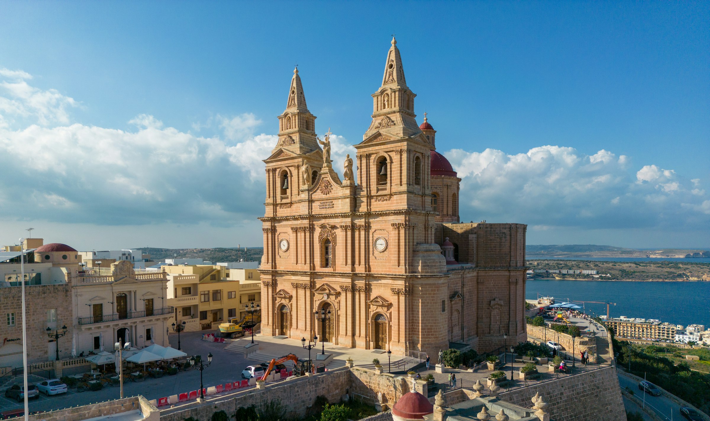
Mellieħa's ridge gives you a quiet night above the bay: the sand is about 3 km downhill, and the Parish Church terrace looks back over it in the evening.
Read the Mellieħa guideEight more walks on Malta, Comino and Gozo
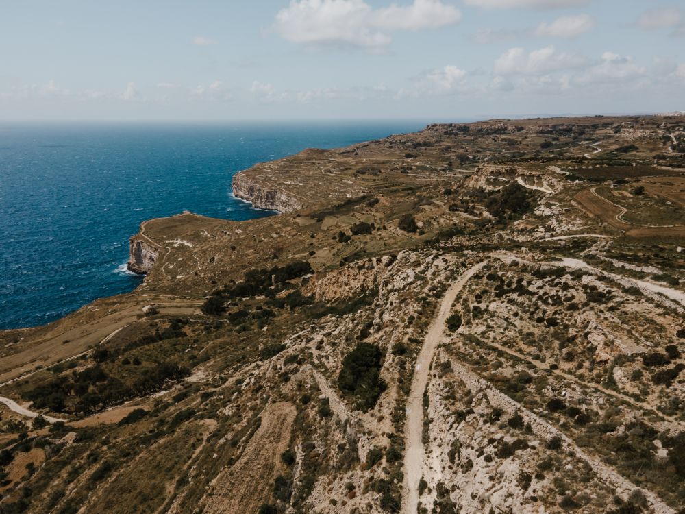
Malta's highest sea cliffs, from Dingli village to the chapel on the edge, then inland past the cart ruts to Buskett.
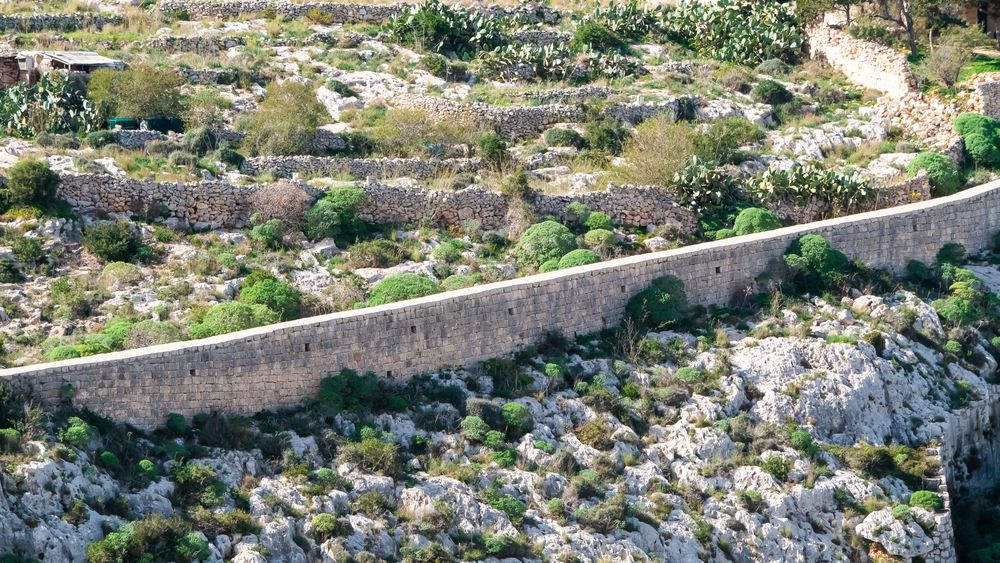
A walk along the old defensive wall that crosses Malta on its escarpment, with the north of the island spread below.
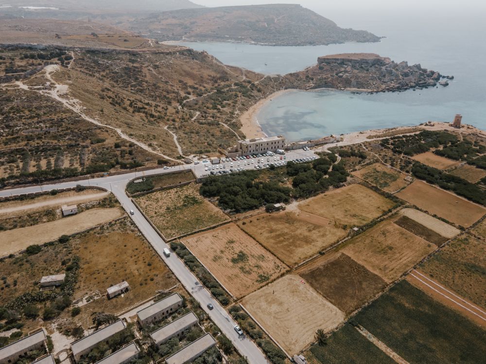
The protected cliffs above Golden Bay, walked north past two old towers and a swimming cove to Anchor Bay.
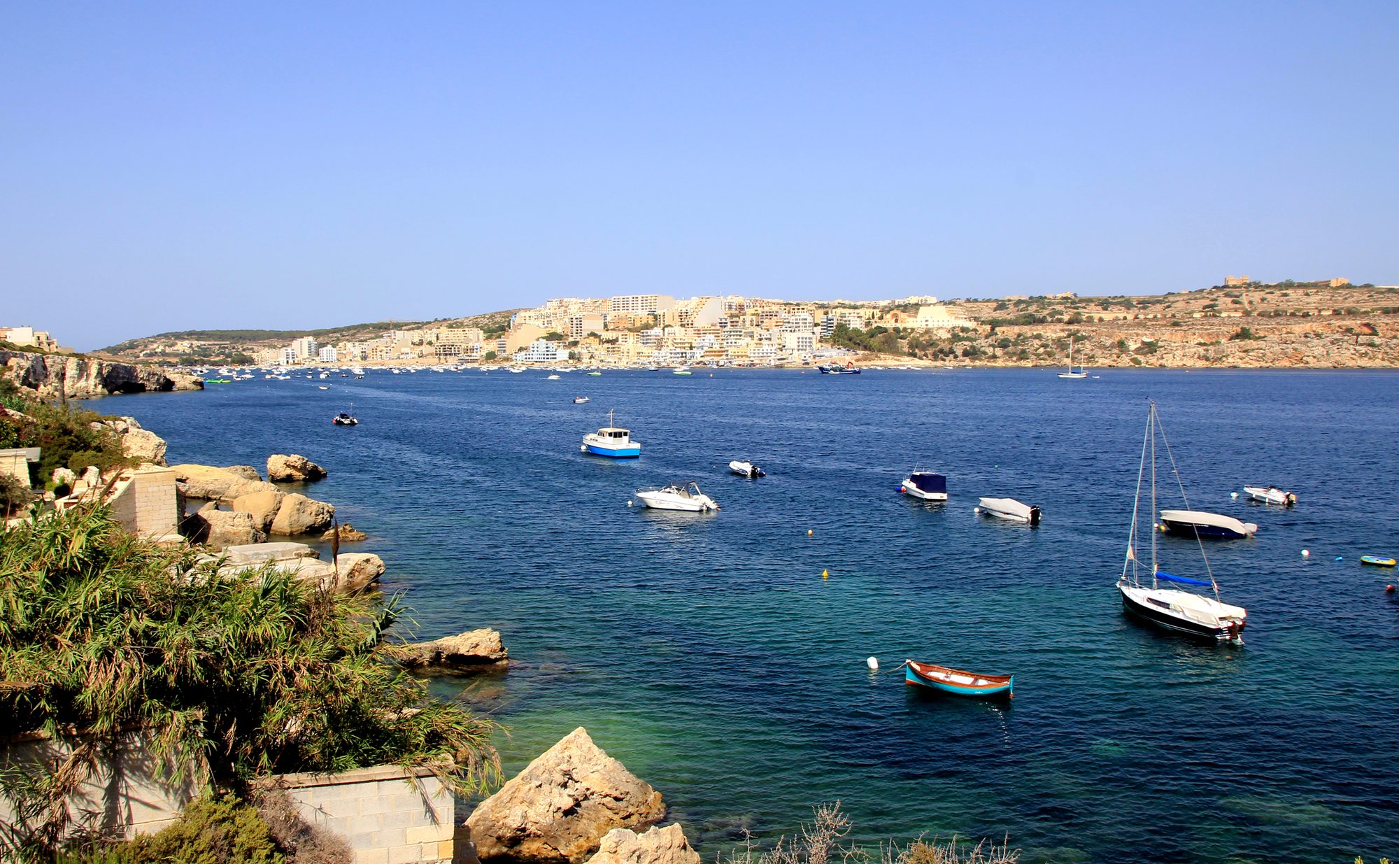
Two thousand years of Maltese country life on the low hill above Xemxija Bay, the sites a few minutes apart.
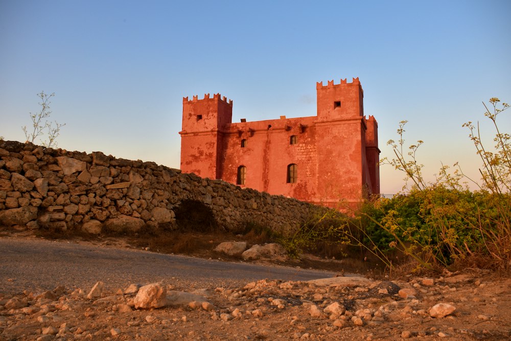
Round the whole Marfa peninsula from the Red Tower, with Comino and Gozo in view and a swim at Paradise Bay.
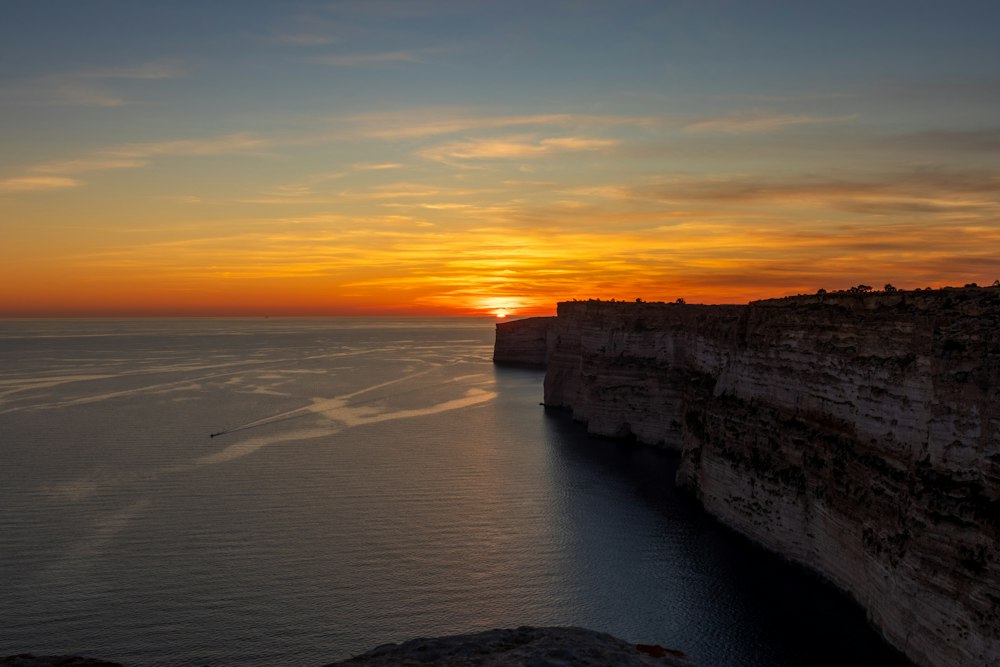
Gozo's tallest sea cliffs, walked from Sannat down to a swimming inlet.
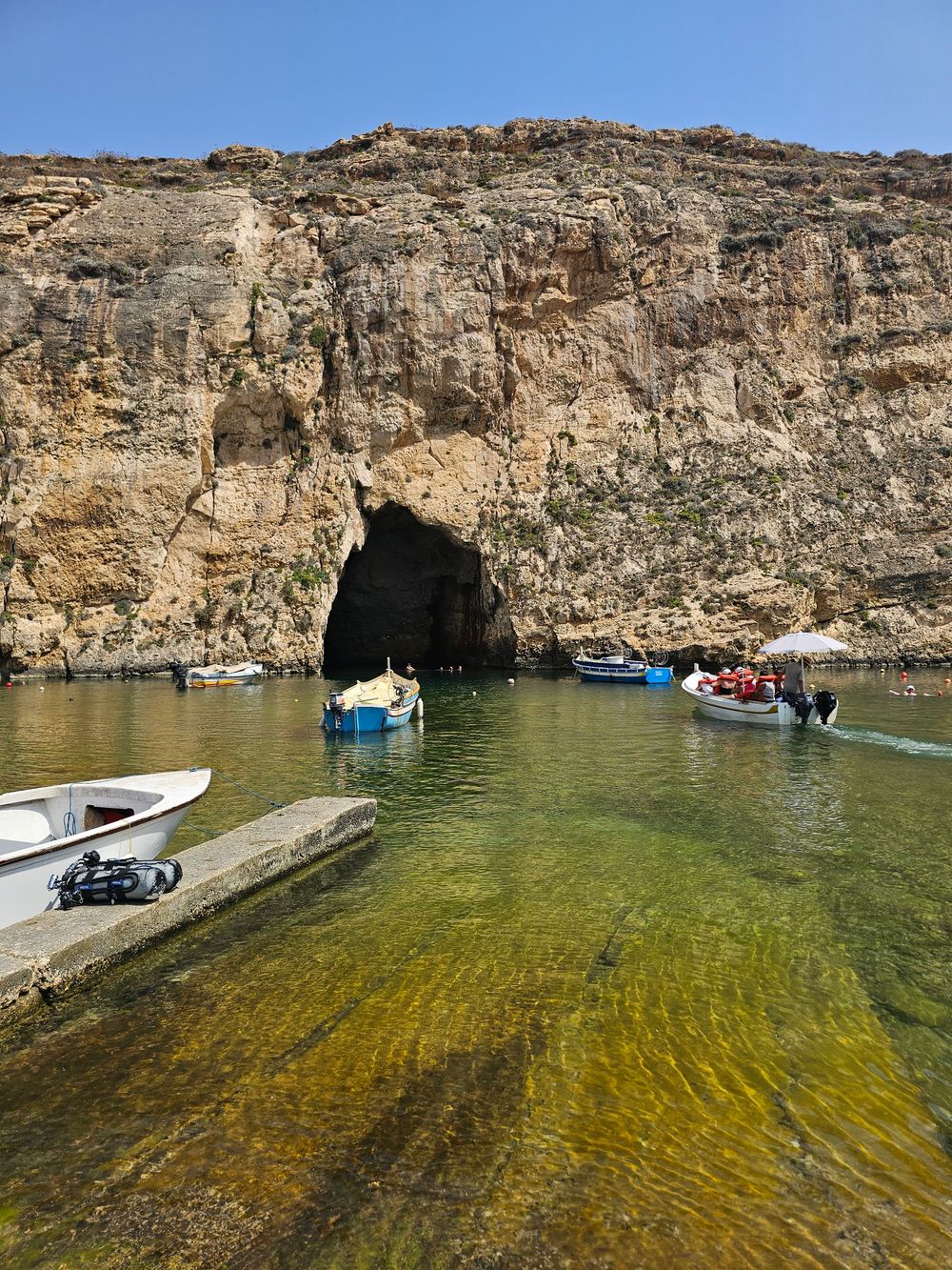
West Gozo's open cliff tops from Xlendi Bay to Fungus Rock, with the Inland Sea at the end.
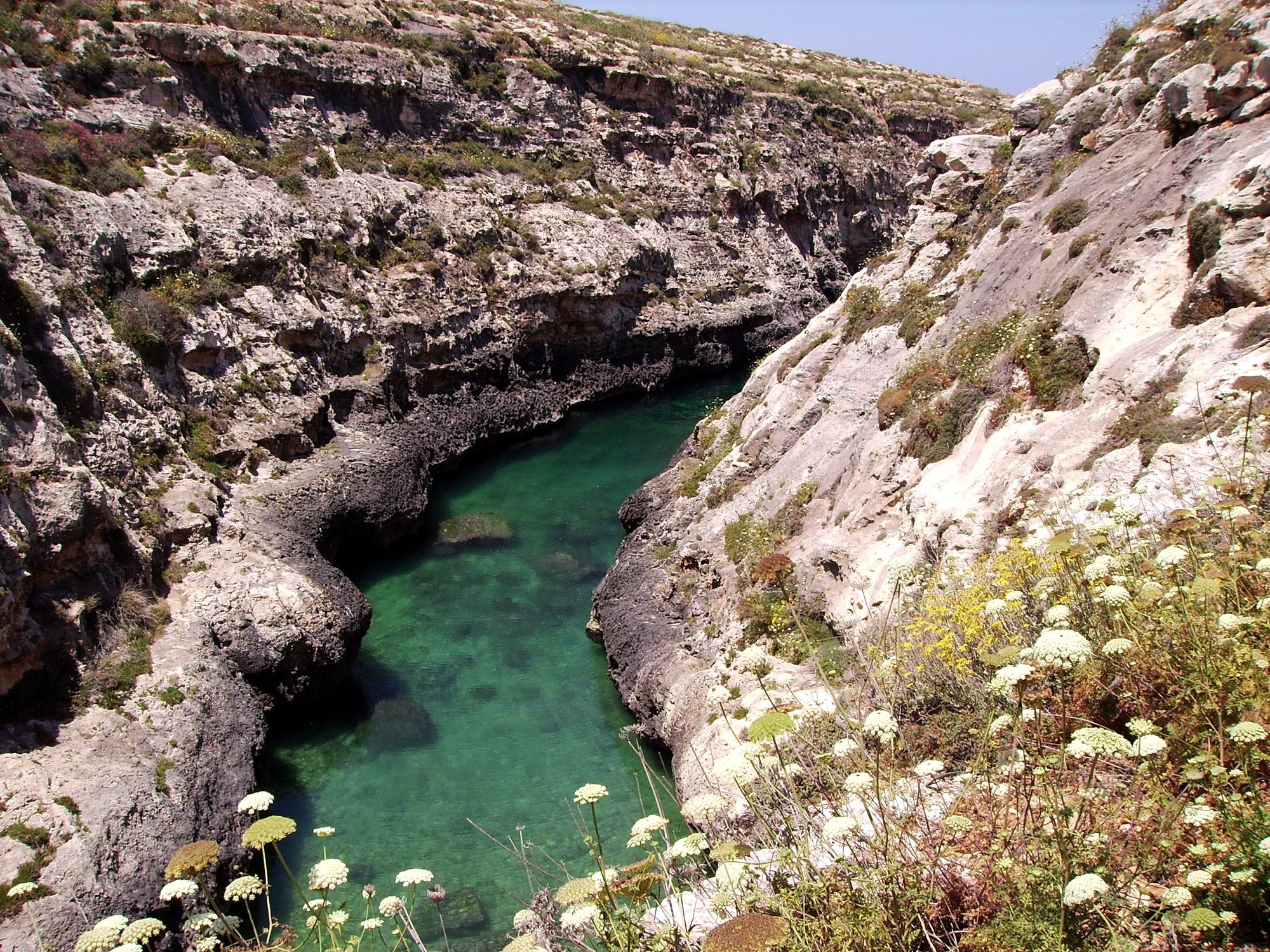
Gozo's north shore from Marsalforn, across the salt pans to a narrow sea gorge and its pebble cove.

Save Comino to your Malta trip in the Meridian Dispatch app and build the day around it, with the best of Mellieħa pinned on one map.
Download on the App StoreThe official pages this guide was checked against.
Last updated