
This Knights' watchtower on Comino gives you two islands at once from the ridge around it: Gozo to the north toward Mġarr, Malta to the south across the channel at Ċirkewwa, and the lagoons below.
Tower, Mellieħa. Meridian Dispatch.
Entry is by donation when the tower is open. It is managed by Din l-Art Ħelwa, the heritage trust that looks after the building and its upkeep.
The walk from the Blue Lagoon landing up to the tower takes between 15 and 40 minutes each way, depending on pace. From the tower, a further path continues to Santa Marija Bay in about 20 minutes.
On a short boat stop the round trip is a rush, particularly in summer heat or when the lagoon is crowded. A longer stay allows the onward path to Santa Marija Bay, which is consistently less crowded than the Blue Lagoon.
St Mary's Tower, also called Comino Tower or Santa Marija Tower, is the large square watchtower on Comino, the small island between Malta and Gozo. Corsairs once hid in the island's cliffs and creeks to attack boats crossing between the two, and the tower was built to stop them.
Walk right round the outside, on the rough ground at its foot. The tower rises from a massive plinth with thick walls, and defensive ditches are cut around its base. It was built to hold out alone, with storage for a long spell cut off from help.
The tower itself is small, and the ridge around it is the reason to make the climb.
Getting there starts with the boat from Ċirkewwa, in the north-west of Malta, which crosses to the Blue Lagoon in about 20 minutes. Visitors report that landing at the Blue Lagoon needs a free timed QR code, reserved online. A private boat can instead drop you at the jetty near the Crystal Lagoon, the most direct way in.
From the landing, island paths climb to the tower in 15 to 40 minutes, depending on pace. When the tower is open, the inside works as a small museum.
From the tower, a 20-minute path leads on to Santa Marija Bay, and another runs from the bay back toward the landing to close a loop.
Pack as for a walk rather than a beach stop: proper walking shoes, sun protection, plenty of water and your own food for the day.
Bring cash as well, since card acceptance on the island is limited, and give yourself a boat with a long enough stay to make the walk unhurried.
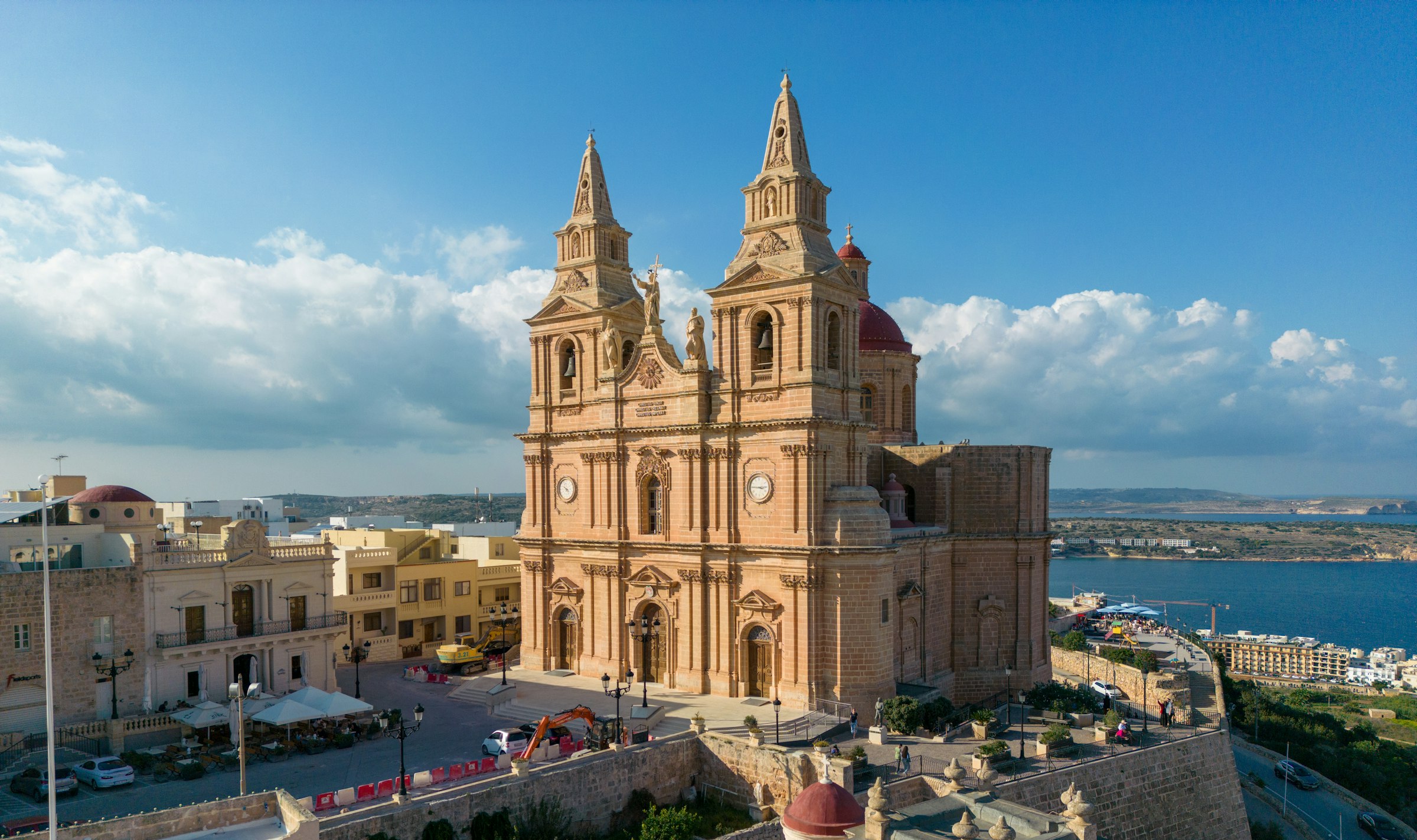
Mellieħa's ridge gives you a quiet night above the bay: the sand is about 3 km downhill, and the Parish Church terrace looks back over it in the evening.
Read the Mellieħa guideExplore the rest of Mellieħa
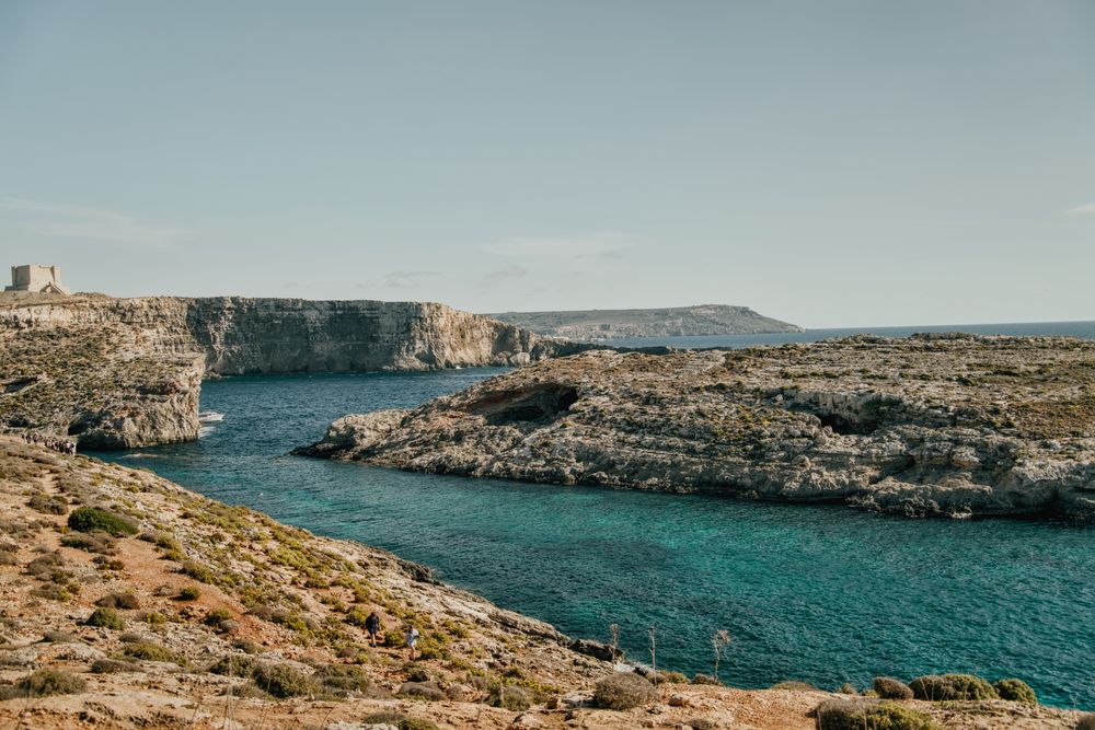

The small island between Malta and Gozo has no cars, and tracks cross it from the Blue Lagoon to Santa Marija Tower on the southern cliffs.…
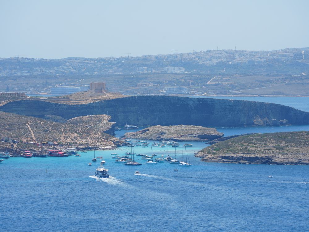
Shallow, bright turquoise water fills the channel between Comino and the islet of Cominotto, over white sand. Boats run from Ċirkewwa, the…
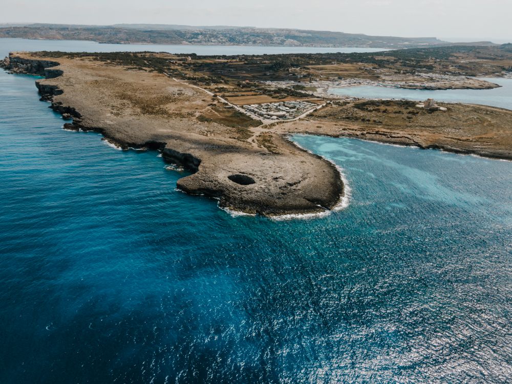
Near the northern tip of the Marfa ridge, a collapsed sea cave has left a round pool open to the sky, joined to the sea by an arch.…
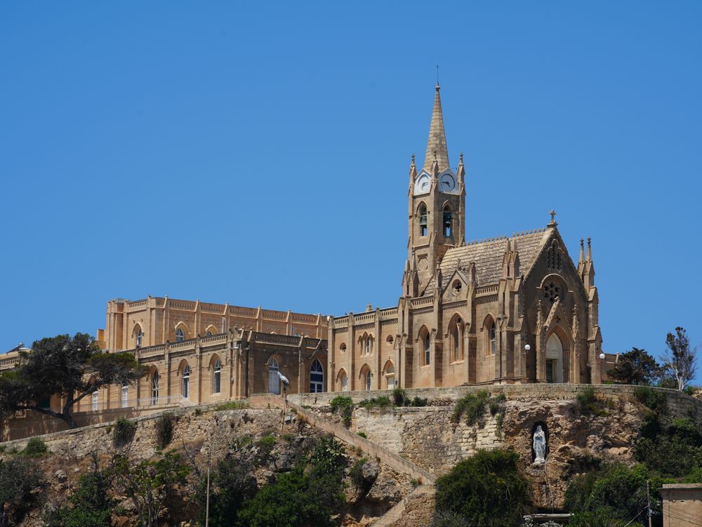
Steep roofs, lancet windows and pinnacled buttresses make this Gothic chapel easy to pick out above the quay. It stands on a promontory…
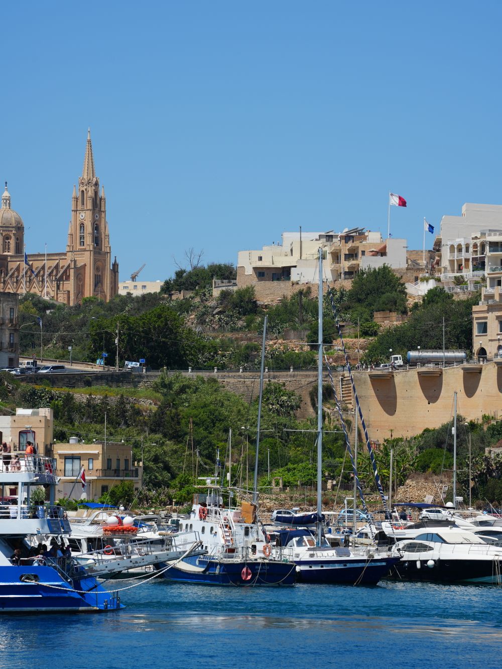
Ferries from Malta land at this small harbour in Għajnsielem, a crossing point since at least 1241. Fishing boats share the water with the…
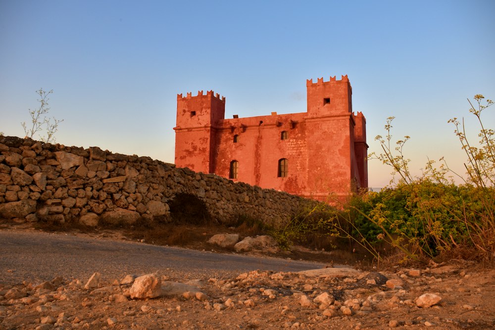
Painted deep red, St Agatha's Tower sits on the crest of the Marfa ridge, a Knights-era fort with corner turrets. Inside are restored rooms…
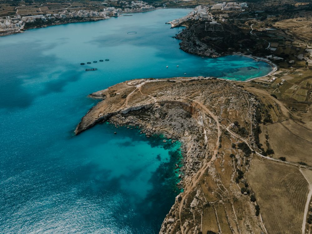
The longest sandy beach on Malta runs along Għadira, at the foot of the Mellieħa ridge. Shallow, calm water stays waist-deep a long way…
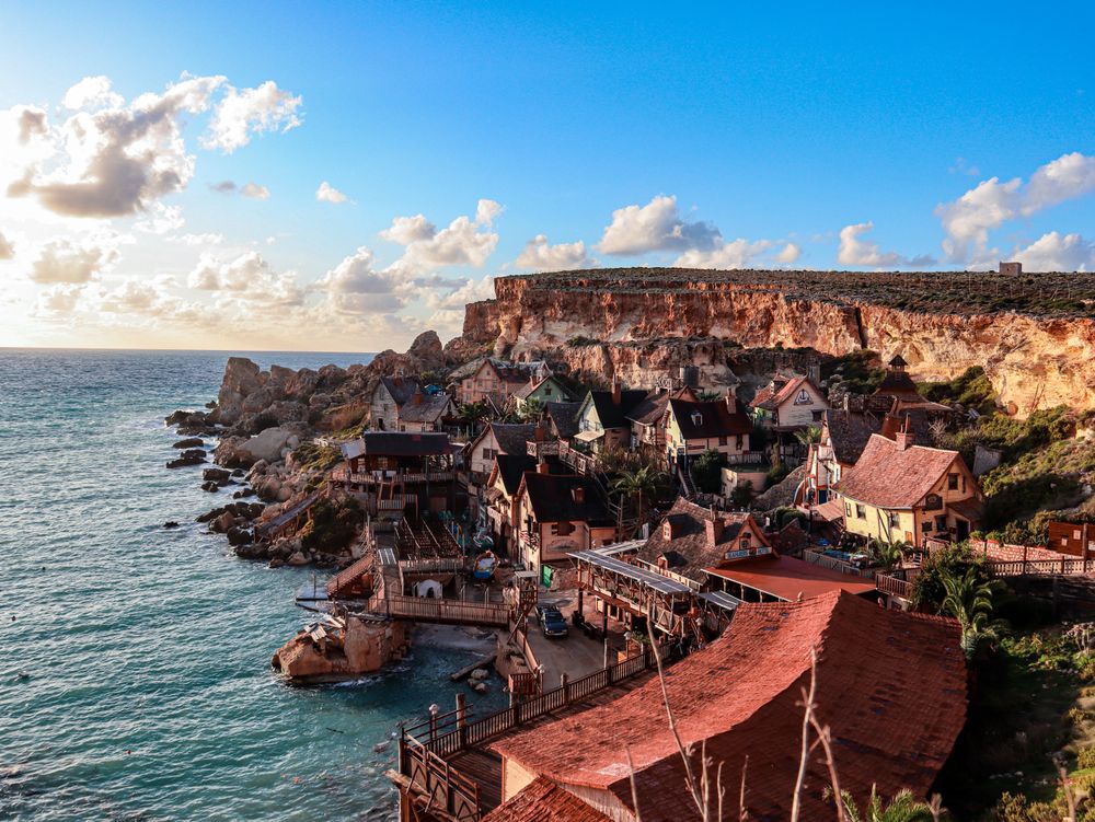
Wooden houses built as the set for the 1980 Popeye musical film still cling to the side of Anchor Bay, now run as a ticketed family…

Save St Mary's Tower to your Malta trip in the Meridian Dispatch app and build the day around it, with the best of Mellieħa pinned on one map.
Download on the App StoreThe official pages this guide was checked against.
Last updated