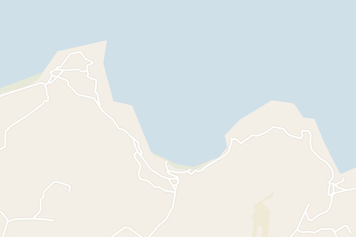
In summer, on a calm day, you get clear water for a swim off a beach with nothing built on it.
Beach, Mellieħa. Meridian Dispatch.
The way in is from the Selmun plateau, where a single lane ends at a small parking area on the clifftop. Cars cannot reach the beach itself, so the last stretch is a walk down.
Steep. It takes about ten minutes down from the car park and about as long to climb back up, so in summer save the climb for the cooler end of the day.
Partly. The beach mixes sand and pebbles, so a mat or thick towel is more comfortable than lying straight on the stones. Swim shoes help on the pebbly stretches at the water's edge.
Yes. On calm days the bay suits snorkelling as well as swimming, over a seabed of mixed sand and rock. Mask and fins have to come down the path with the rest of the day's kit.
No. Mġiebaħ Bay is a natural cove with no commercial facilities: no food stalls, nothing to rent, no toilets, no shade and no lifeguard. Anyone who needs facilities close at hand is better served by another beach.
May, June, September and October bring warm water without the summer crowds or heat. In the heart of summer, the climb back up the open path is the hardest part of the day.
Mġiebaħ Bay, also called Selmun Bay, sits on Malta's north-east coast, about 1.5 km from Mellieħa as the crow flies. Roughly 200 metres of sand and pebbles fill the mouth of the Mġiebaħ valley, between limestone cliffs and terraced farmland.
The name comes from beekeeping. In Maltese, miġbħa means an apiary, and mġiebaħ is its plural. Above the valley, a path leads to the Mġiebaħ Roman apiaries, rock-cut beehive structures with old dwellings beside them.
On the cliff to the north-east stand the ruins of Għajn Ħadid Tower, the first of the De Redin watchtowers. An earthquake in 1856 brought it down to the broken stump left on the slope above the bay.
Reaching the bay means driving a narrow country lane from Selmun to a small clifftop car park, as far as a car can go. From there a path of dirt, loose gravel and clay drops steeply to the sand, and you climb back up the same way.
Bring the day's drinks and food down with you before you start the descent, since nothing at all is sold on the beach below.
The bay is well known locally and can draw visitors on summer days.
Watch the forecast for the Grigal, the Maltese name for the north-easterly wind. The cove opens straight into it, so a Grigal brings choppy water, stronger currents and seaweed washed up on the sand.
Wear shoes with a firm grip for the path down and back.
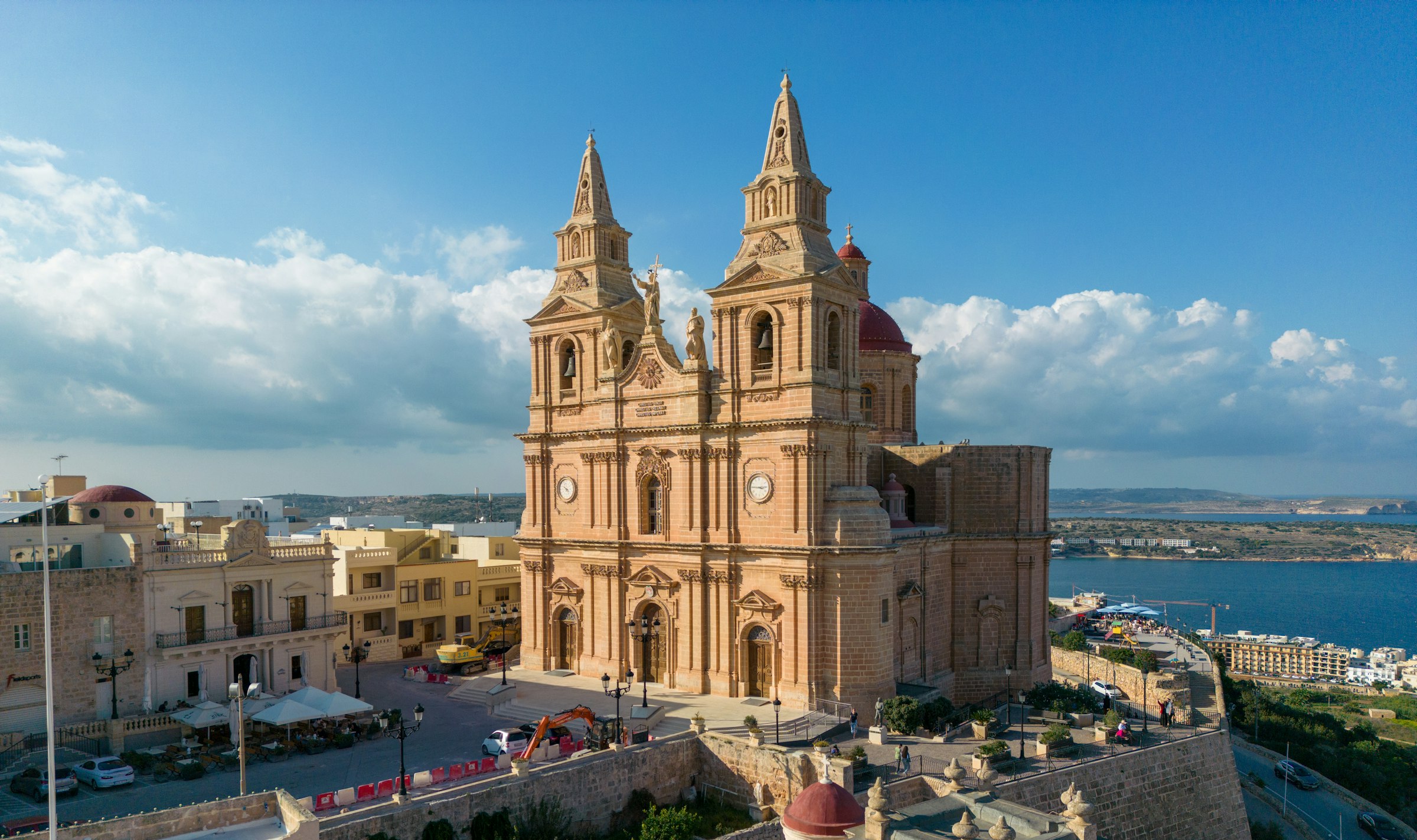
Mellieħa's ridge gives you a quiet night above the bay: the sand is about 3 km downhill, and the Parish Church terrace looks back over it in the evening.
Read the Mellieħa guideExplore the rest of Mellieħa
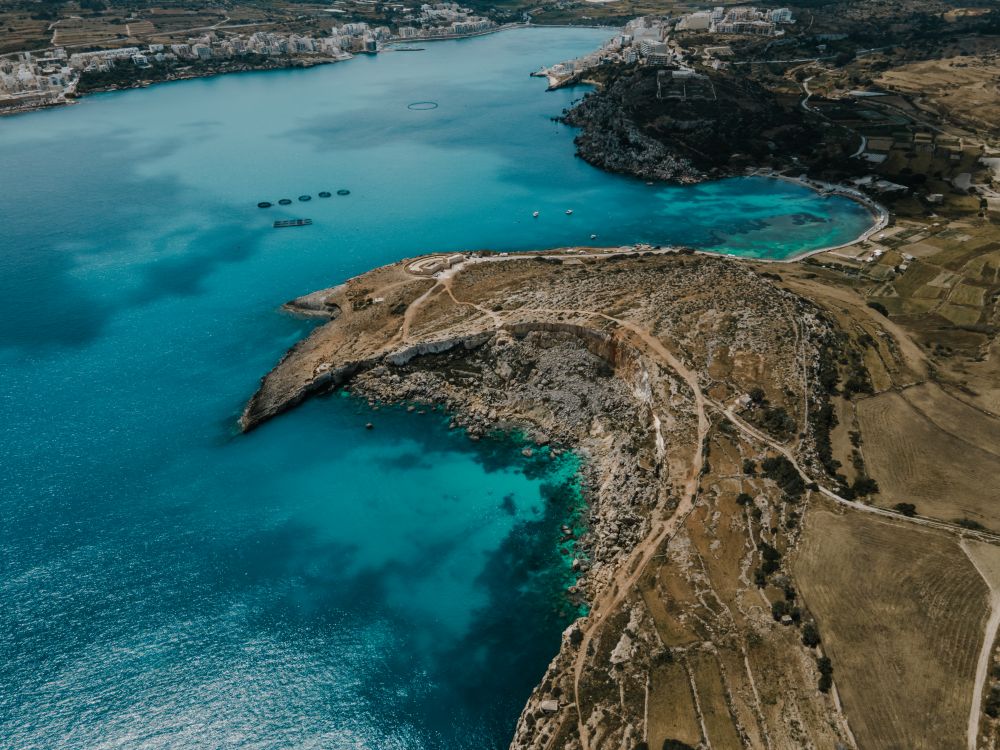
The longest sandy beach on Malta runs along Għadira, at the foot of the Mellieħa ridge. Shallow, calm water stays waist-deep a long way…
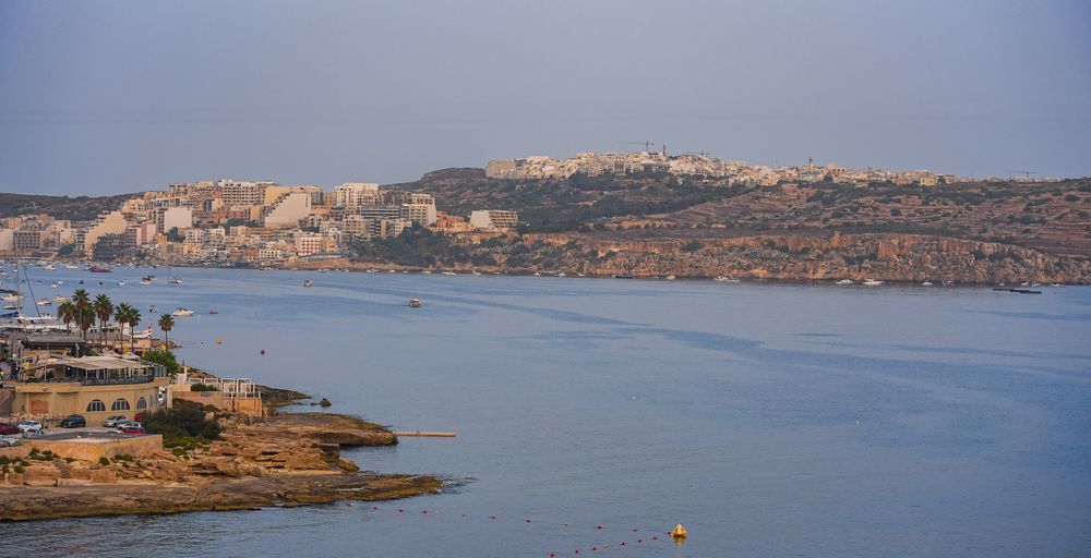
Starting at a road sign reading The Roman Road above Xemxija Bay, this walk of about 4 kilometres links some twenty sites: an old road,…
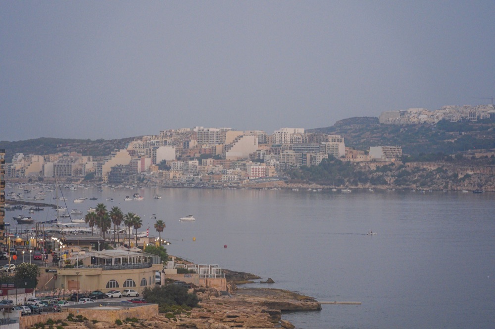
Hotels, bars and a long seafront promenade fill Buġibba and Qawra, the resort strip on the north side of St Paul's Bay. The area makes for…
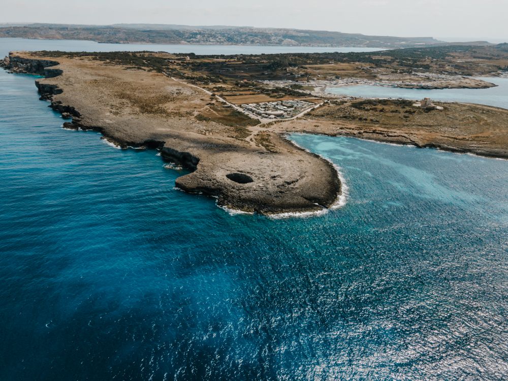
Near the northern tip of the Marfa ridge, a collapsed sea cave has left a round pool open to the sky, joined to the sea by an arch.…
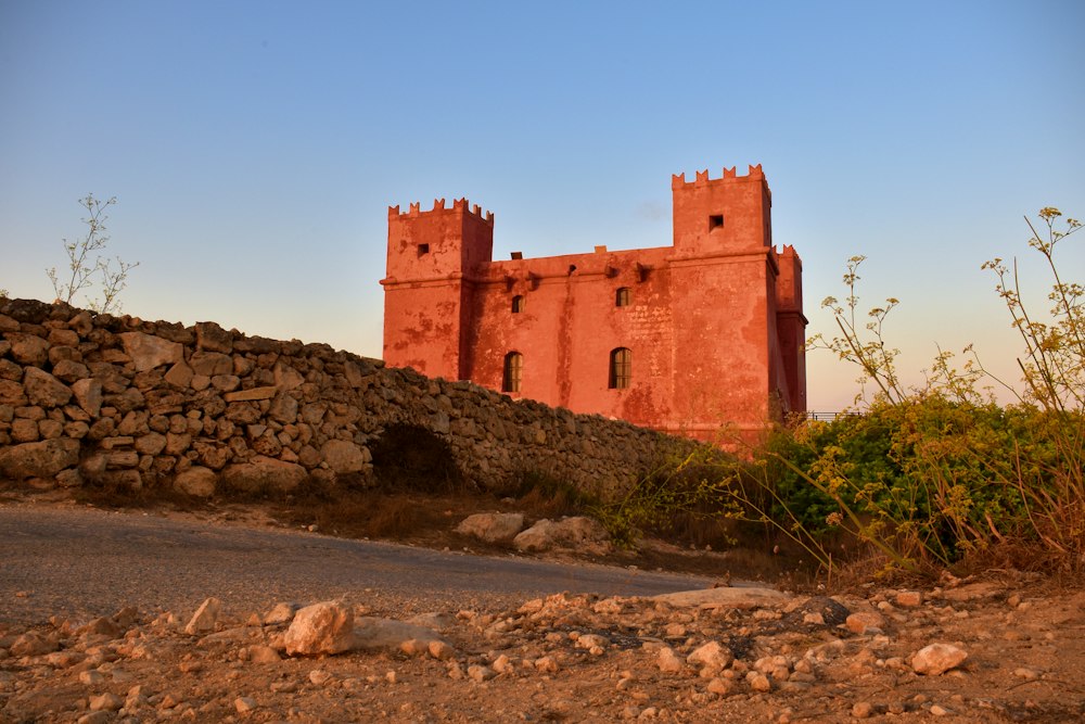
Painted deep red, St Agatha's Tower sits on the crest of the Marfa ridge, a Knights-era fort with corner turrets. Inside are restored rooms…
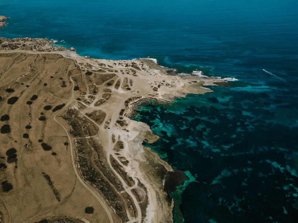
Walking the length of this ridge takes in small fields with rubble walls, open garrigue and, at the western end, sea cliffs, with Gozo and…
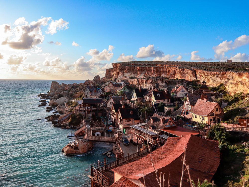
Wooden houses built as the set for the 1980 Popeye musical film still cling to the side of Anchor Bay, now run as a ticketed family…
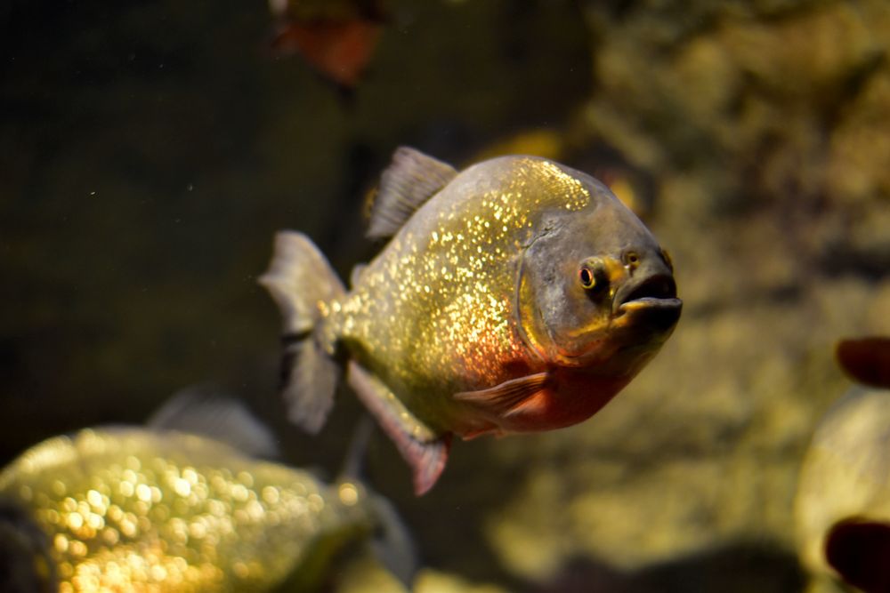
Shaped like a starfish on the tip of Qawra Point, the aquarium holds tanks of Mediterranean species, a walk-through tunnel with sharks and…




Save Mġiebaħ Bay to your Malta trip in the Meridian Dispatch app and build the day around it, with the best of Mellieħa pinned on one map.
Download on the App StoreLast updated