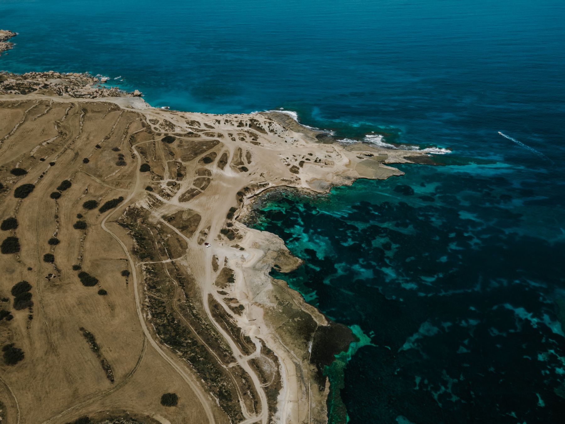
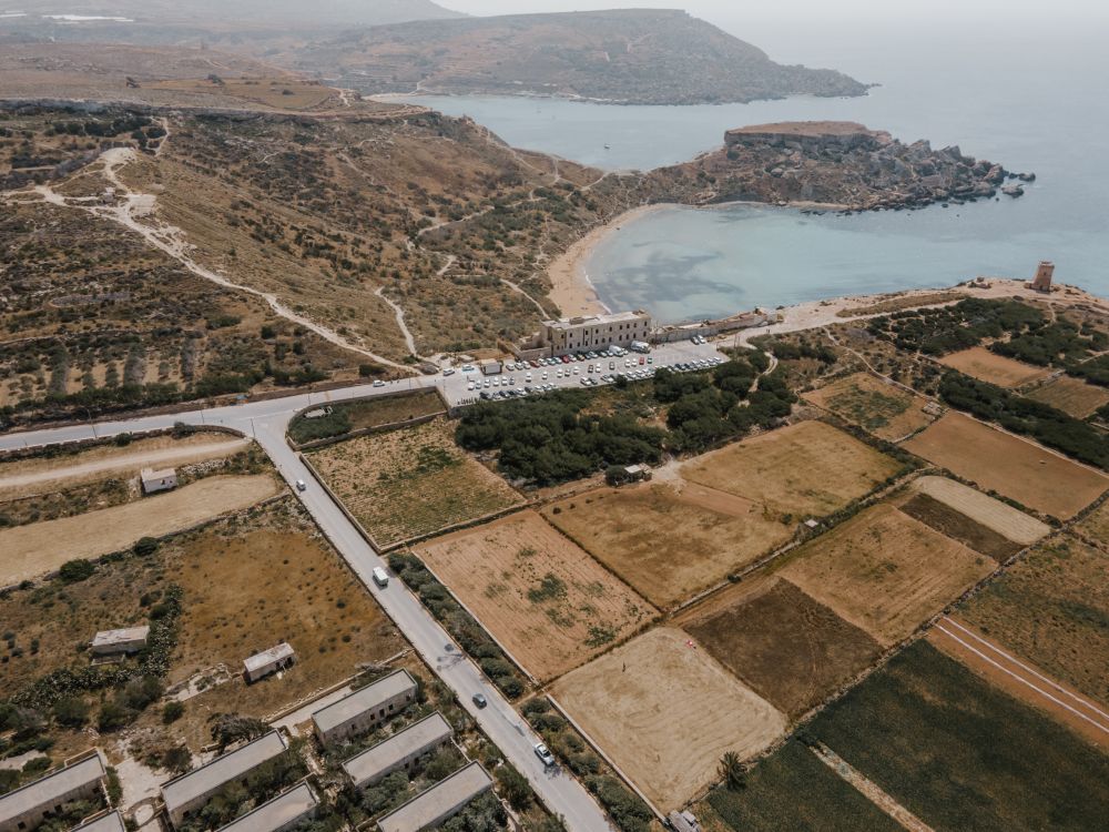
There is sea on three sides of this loop round the whole Marfa peninsula, with Comino and Gozo in view, and you can swim at Paradise Bay on the way round. The loop starts and ends at a bus stop, so you need no car.
Hike, Mellieħa. Meridian Dispatch.
Heights are approximate.
From the Għadira bus stop, climb through restored woodland to the ridge, then turn east along the ridge road for the Chapel of the Immaculate Conception.
At Rdum tal-Madonna, beside the chapel, the cliffs hold the largest Yelkouan shearwater colony in the Maltese Islands. Shearwaters can be seen in flight over the waves, especially before sunset or on windy days.
On still nights in their breeding season you can hear them calling from the chapel, so come back to it after dark as a separate trip. Leave no litter and avoid lights at night: both harm the nesting birds.
The cliff path runs north from the chapel to the lanes at L-Aħrax. Coral Lagoon, a sinkhole formed by coastal erosion, is a detour of about 250 m out on the point. Just after it, the White Tower, an old Knights' watchtower, stands on the hill above White Tower Bay, about 170 m up a path.
The north shore is flat: lanes past Armier Bay and the Marfa jetty, then the pavement shared with cyclists beside the Marfa Road to the Ċirkewwa ferry port. Paradise Bay is down a flight of steps from the road beyond the port; go down to swim and climb back up the same steps.
The path then climbs the western cliffs to Ras il-Qammieħ, the highest ground of the walk. The way home runs east along the ridge road to the Red Tower, painted deep red.
The Red Tower opens when its volunteers can staff it, and entry is ticketed. You can climb to its roof for the view over Mellieħa Bay, then come back down through the woodland to Għadira.
Tarmac covers the ridge road, both out to the chapel and home past the Red Tower, and the lanes of the north shore.
The rest is path and track: the woodland path from Għadira, the cliff path at Rdum tal-Madonna, the pavement shared with cyclists beside the Marfa Road to Ċirkewwa, and the bare limestone of the western cliffs between Paradise Bay and Ras il-Qammieħ.
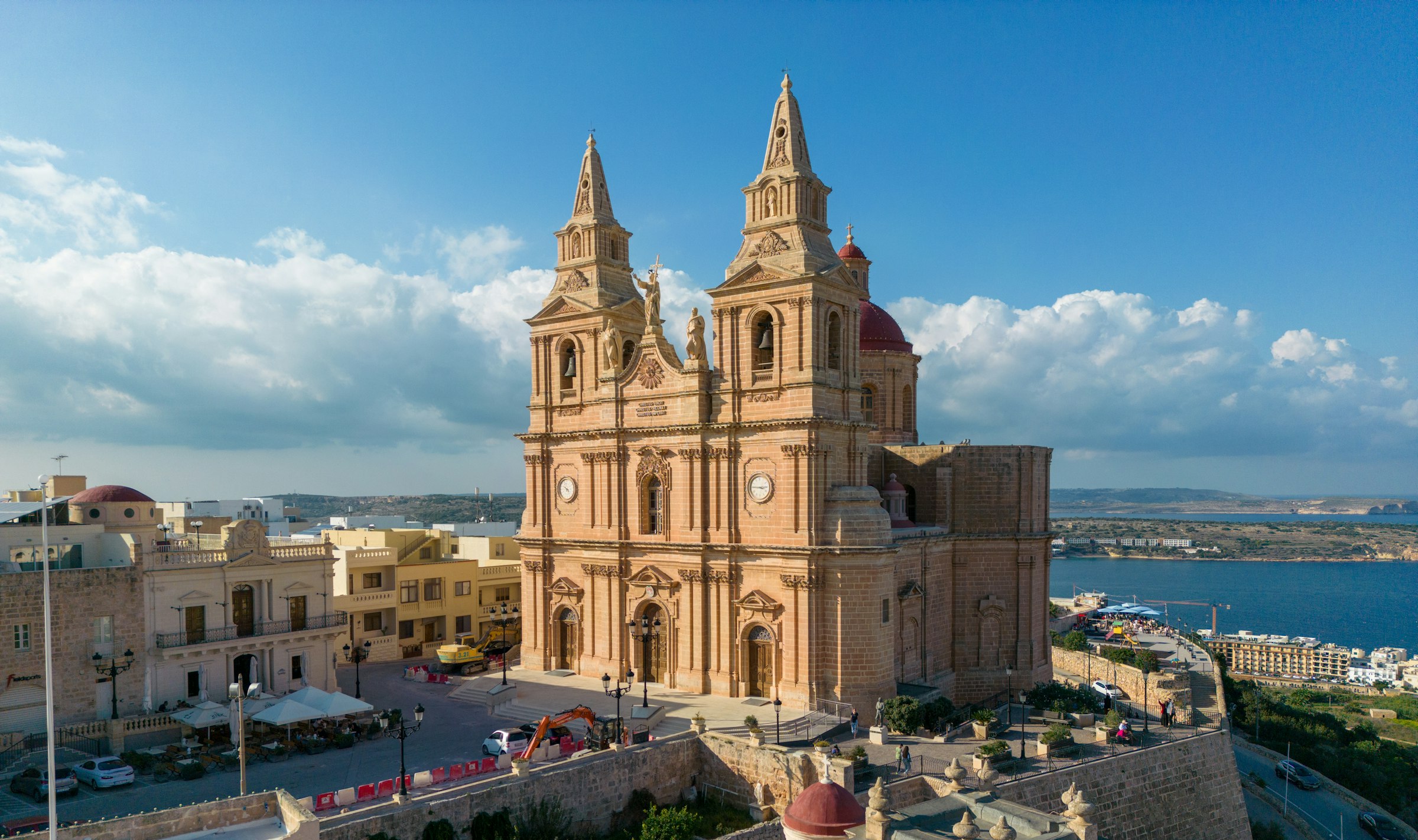
Mellieħa's ridge gives you a quiet night above the bay: the sand is about 3 km downhill, and the Parish Church terrace looks back over it in the evening.
Read the Mellieħa guideEight more walks on Malta, Comino and Gozo
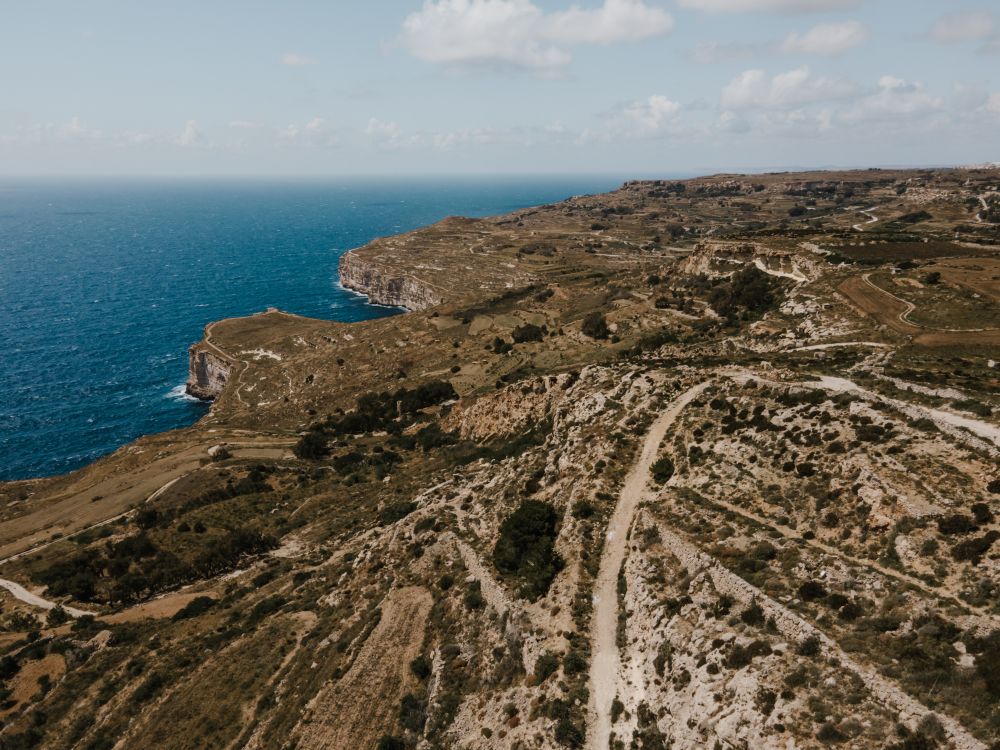
Malta's highest sea cliffs, from Dingli village to the chapel on the edge, then inland past the cart ruts to Buskett.
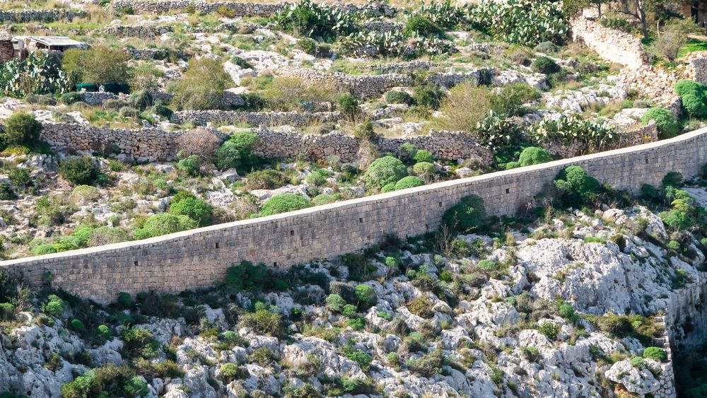
A walk along the old defensive wall that crosses Malta on its escarpment, with the north of the island spread below.
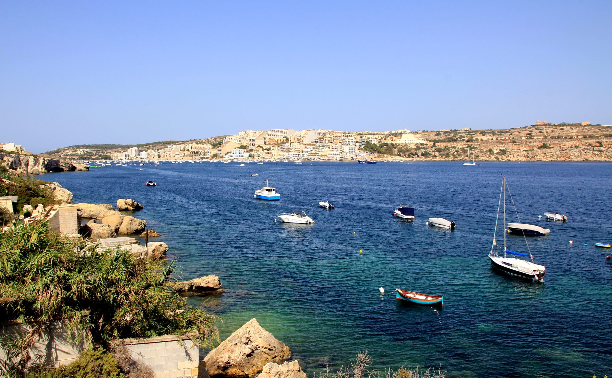
The protected cliffs above Golden Bay, walked north past two old towers and a swimming cove to Anchor Bay.
Two thousand years of Maltese country life on the low hill above Xemxija Bay, the sites a few minutes apart.
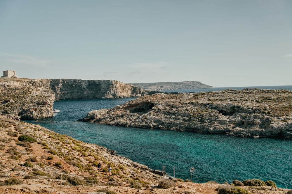
Round the island along the south cliffs, then back to the Blue Lagoon for a swim.
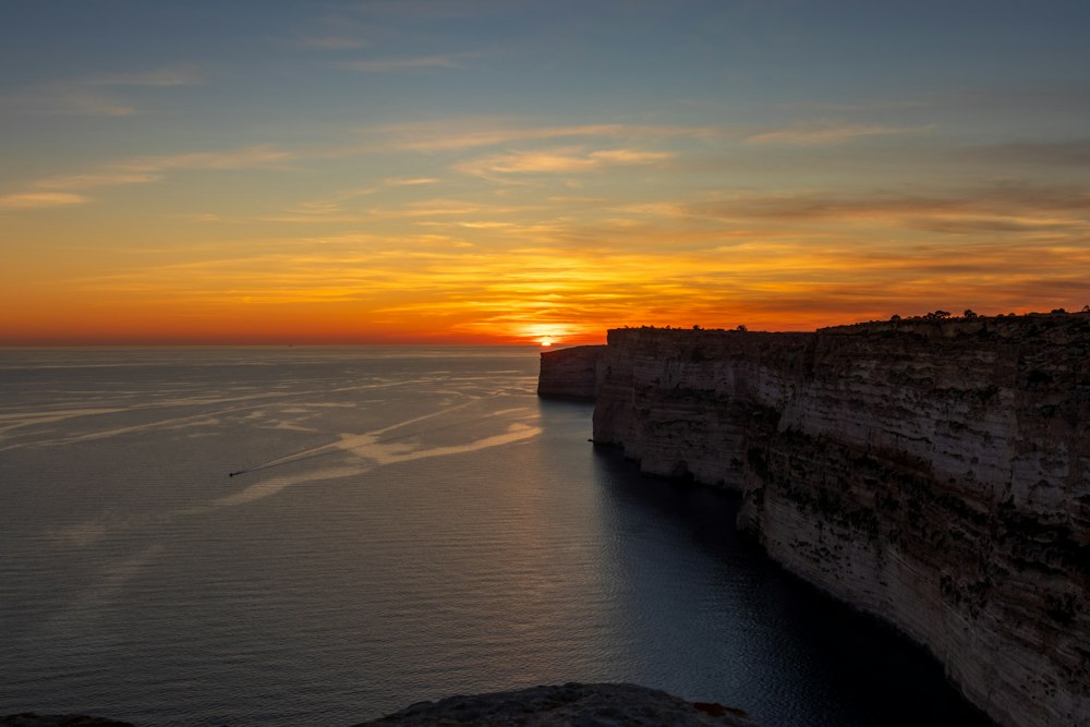
Gozo's tallest sea cliffs, walked from Sannat down to a swimming inlet.
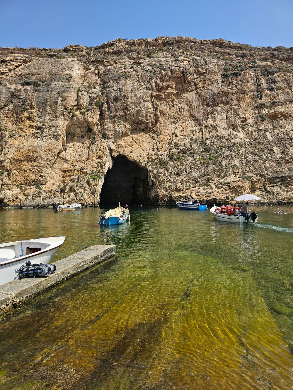
West Gozo's open cliff tops from Xlendi Bay to Fungus Rock, with the Inland Sea at the end.
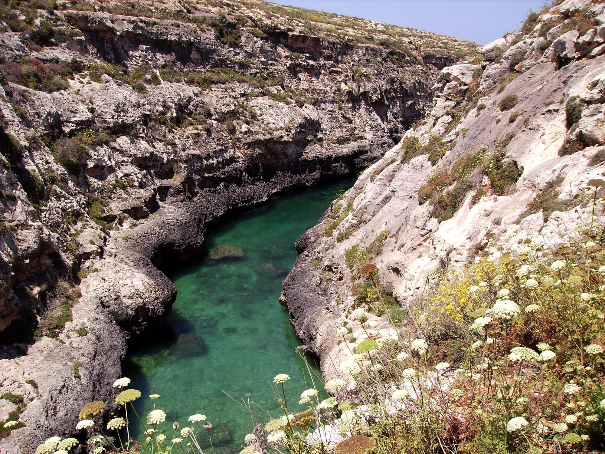
Gozo's north shore from Marsalforn, across the salt pans to a narrow sea gorge and its pebble cove.
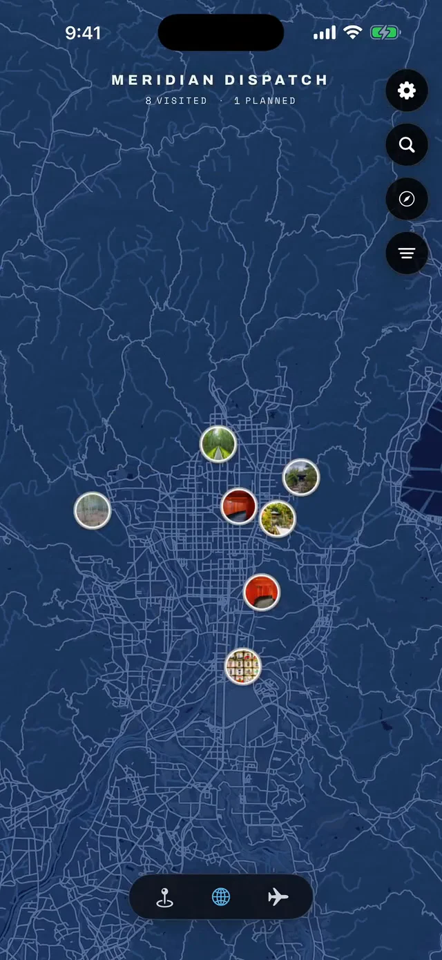



Save Marfa Ridge to your Malta trip in the Meridian Dispatch app and build the day around it, with the best of Mellieħa pinned on one map.
Download on the App StoreThe official pages this guide was checked against.
Last updated