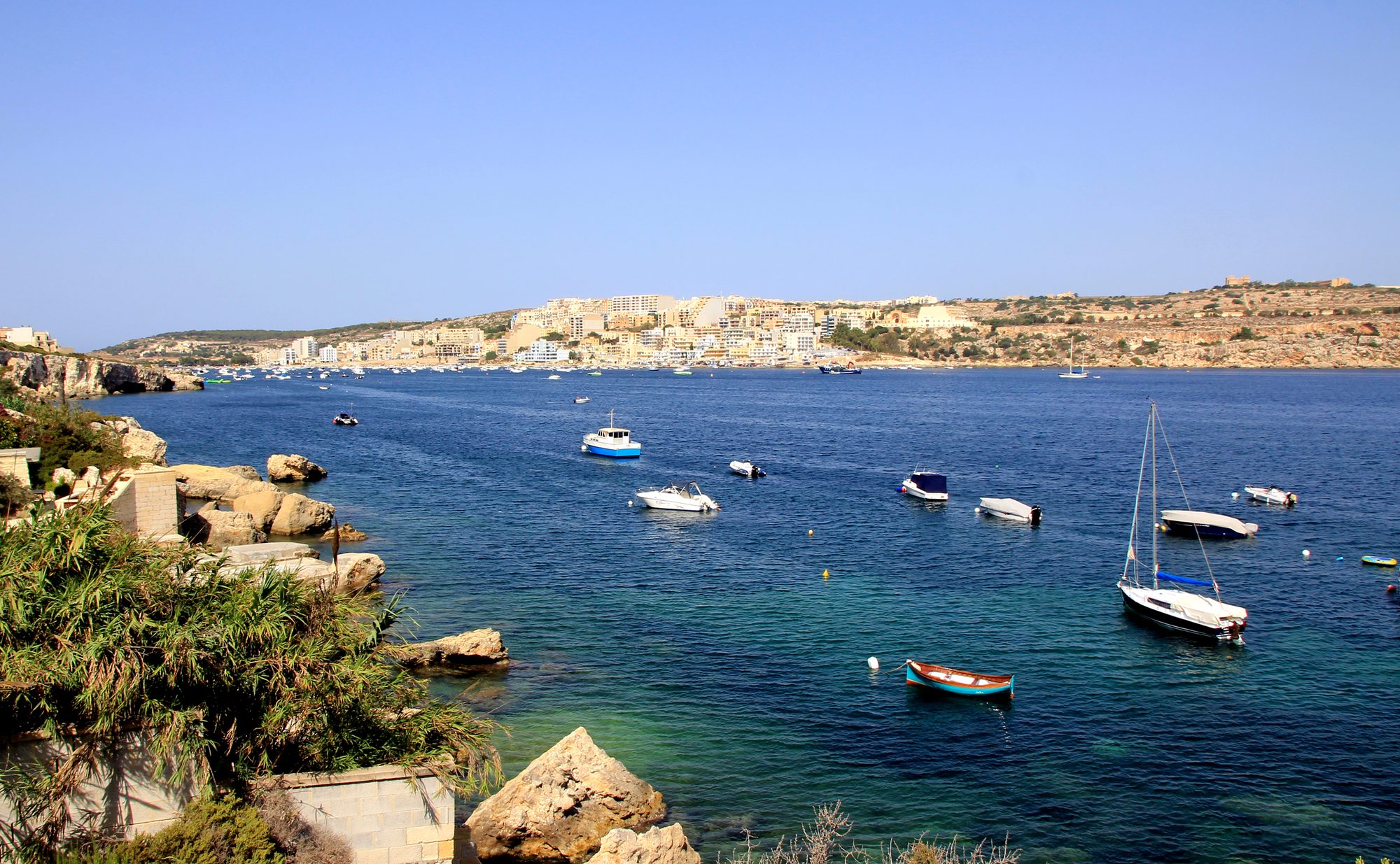
Two thousand years and more of Maltese country life sit on this low hill above Xemxija Bay, and an hour and a half covers them. The sites sit a few minutes apart, so most of the time goes on looking, not walking.
Hike, St Paul's Bay. Meridian Dispatch.
Heights are approximate. The 85 m is total climbing, short rises on top included; the hill itself rises 57 m.
The trail starts at a street sign on Triq ir-Ridott reading The Roman Road, the local name for the old road up the hill. Its stone bed is still sound, with channels cut along it to drain the rain. Signposts mark the way between the main sites, but keep the map on this page open for the gaps.
Partway up, a small cave has a war galley scratched beside its doorway. Just before the top come four stone apiaries, where you can step behind the front wall to see where the clay hives sat, and beside them a carob tree said to be about 1,000 years old.
Pilgrims walked this road to the sanctuary of Our Lady in Mellieħa, and the small crosses they cut into the rock sit beside the path near the carob. On the hilltop, a loop to the left passes the low remains of a Neolithic temple and runs through the woodland to a corbelled stone hut, then back to the main track.
Straight on, a rectangular shaft about two metres deep drops to a Punic burial chamber; look in from the edge. Families and their animals lived in the big caves just beyond until the 1930s, and from inside them you look out over Xemxija Bay and St. Paul's Bay. A deep grain pit is cut into the rock a few steps on.
After a short stretch of street, a track runs north to a military pillbox. A well-defined set of cart ruts lies a short walk on, and a path drops from there to the rock-cut rooms the trail labels the Roman Baths.
The first 200 m climb Triq ir-Ridott, a residential street, to the Roman Road sign. Most of the climbing comes on the old road above it, which tops out about 500 m from the start, with a few short rock steps at the apiaries.
On top the going is mostly level on dirt tracks, rocky paths and bare rock, with 100 m of Triq il-Preistorja after the caves. A few short rises add the rest of the climb, and the last 600 m are residential streets to the main road.
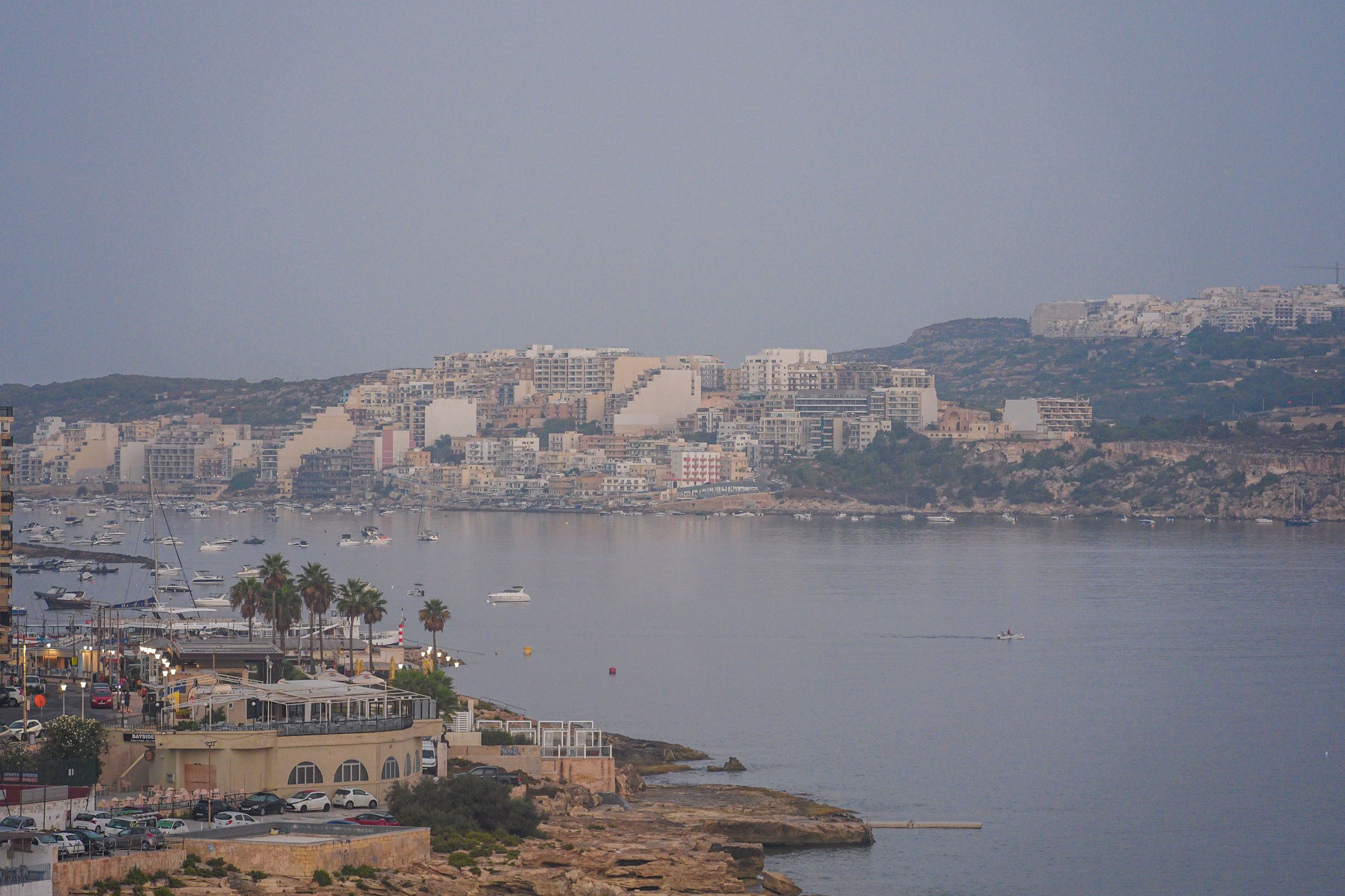
Stay on the Buġibba seafront and you can take a bus out every morning, swim off the rocks at Qawra Point in the afternoon and eat on the promenade at night.
Read the St Paul's Bay guideEight more walks on Malta, Comino and Gozo
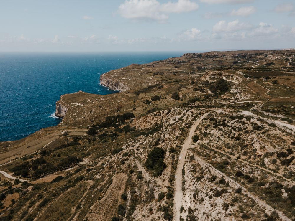
Malta's highest sea cliffs, from Dingli village to the chapel on the edge, then inland past the cart ruts to Buskett.
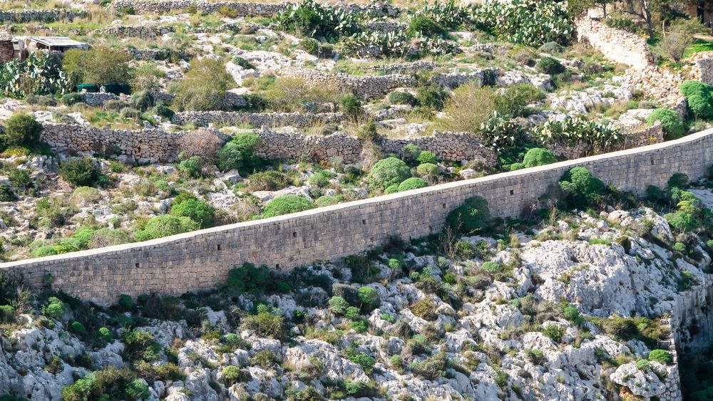
A walk along the old defensive wall that crosses Malta on its escarpment, with the north of the island spread below.
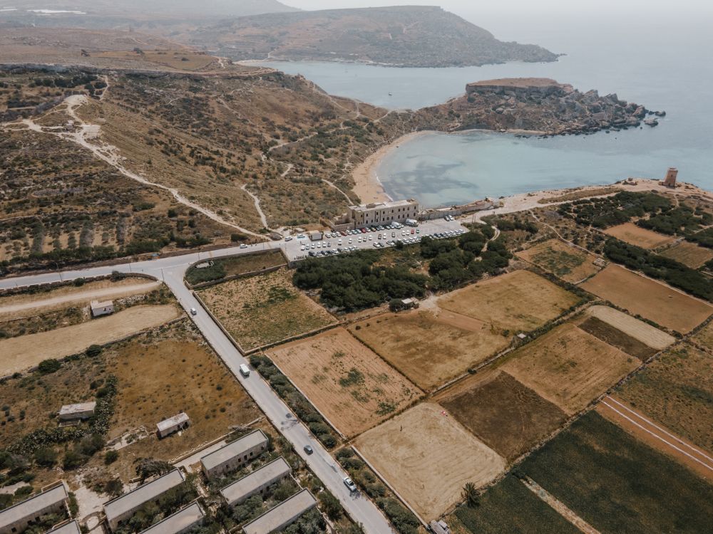
The protected cliffs above Golden Bay, walked north past two old towers and a swimming cove to Anchor Bay.
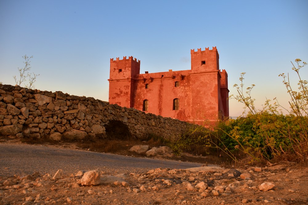
Round the whole Marfa peninsula from the Red Tower, with Comino and Gozo in view and a swim at Paradise Bay.
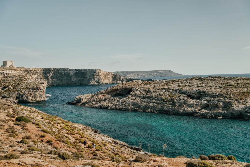
Round the island along the south cliffs, then back to the Blue Lagoon for a swim.
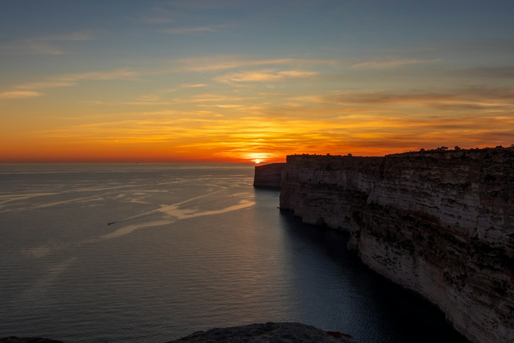
Gozo's tallest sea cliffs, walked from Sannat down to a swimming inlet.
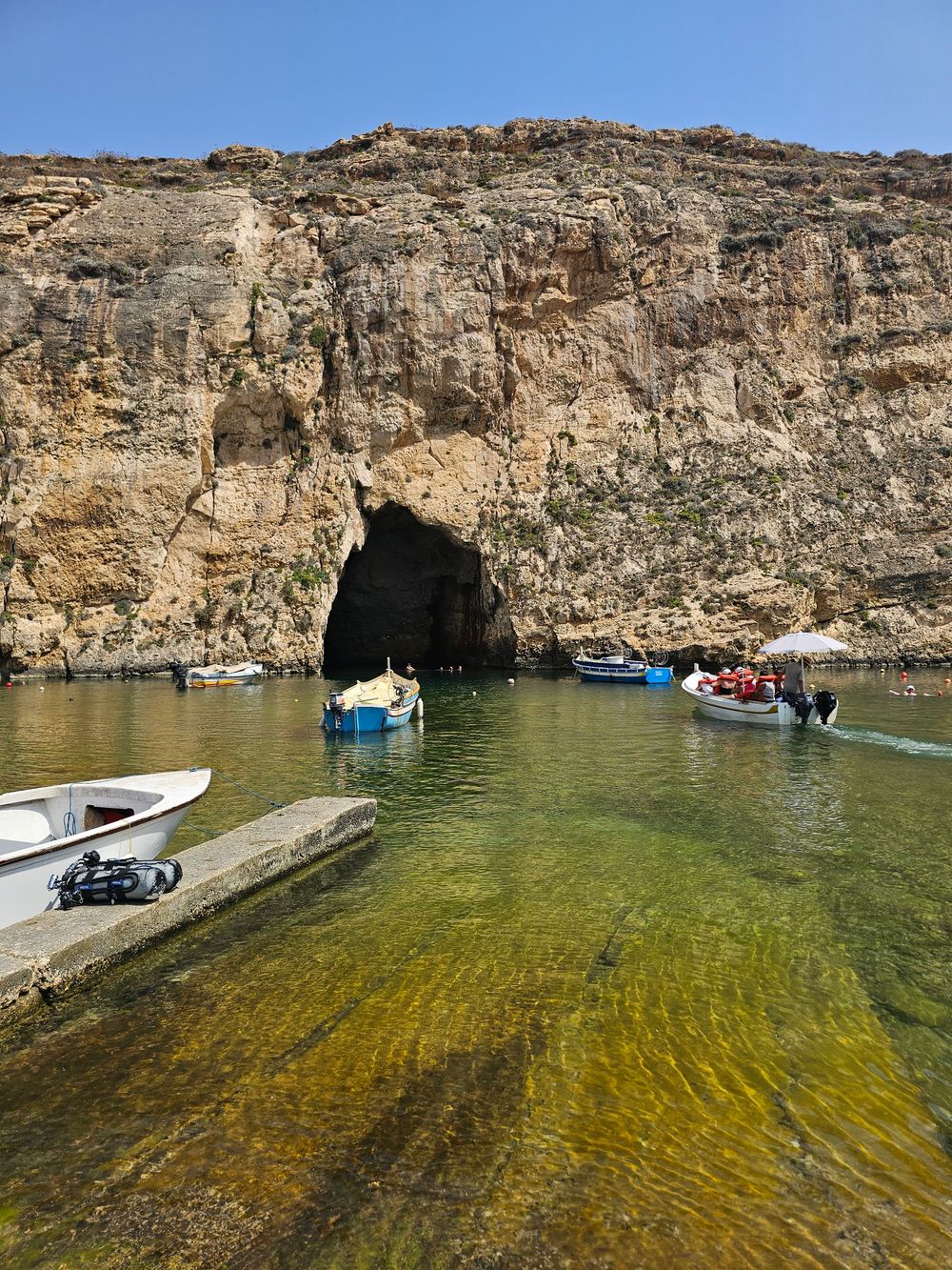
West Gozo's open cliff tops from Xlendi Bay to Fungus Rock, with the Inland Sea at the end.
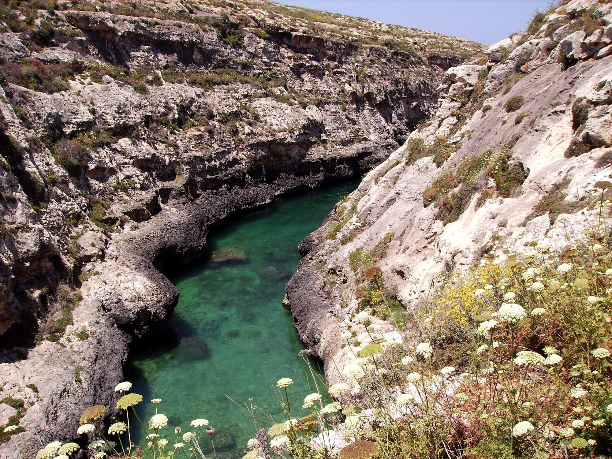
Gozo's north shore from Marsalforn, across the salt pans to a narrow sea gorge and its pebble cove.
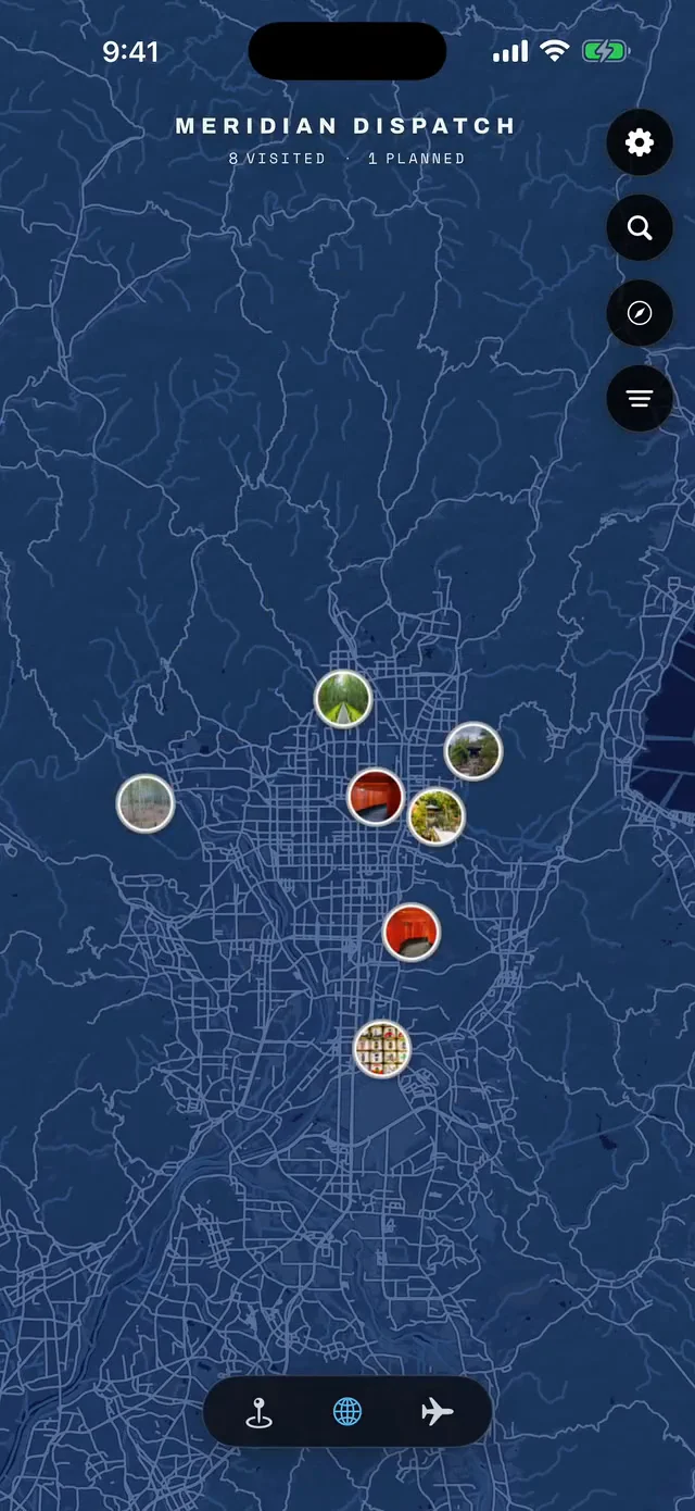



Save Xemxija Heritage Trail to your Malta trip in the Meridian Dispatch app and build the day around it, with the best of St Paul's Bay pinned on one map.
Download on the App StoreThe official pages this guide was checked against.
Last updated