Two summits above Kolašin, Zekova Glava and Crna Glava, lie under two and a half hours' walk from Vranjak and look down on a glacial lake, on paths gentle enough for a first day in Montenegro's high mountains.
Landmark, Kolašin. Meridian Dispatch.
By road. The ski centres lie 12 km from the town, and a road climbs on to Vranjak at 1,772 m. The Kolašin 1600 ski resort also has a cable car to Troglava at 2,072 m; check that it runs outside the ski season.
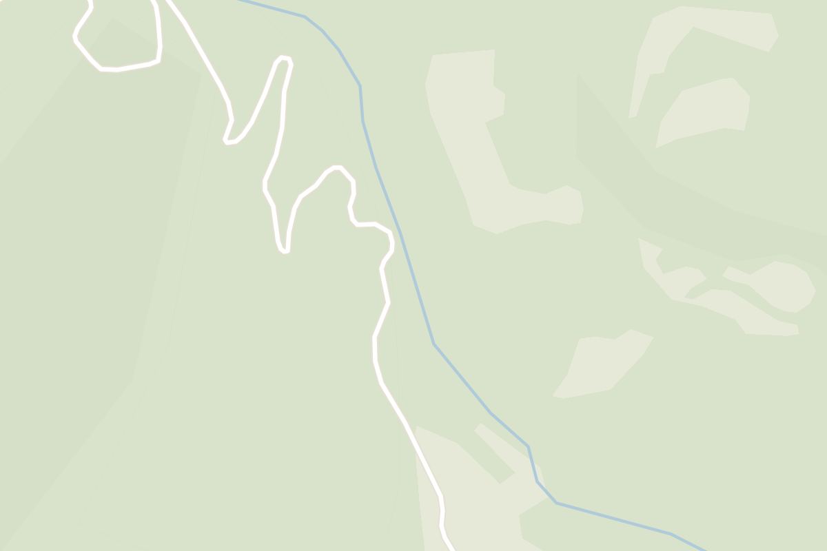
The marked walk from the Vranjak summer pasture, on the edge of the national park, to the two highest summits. It is 3.7 km to Zekova Glava, about 1 hour 20 minutes up, or 7 km and about 2 hours 15 minutes to Crna Glava, the highest point of the range.
July and August are the busiest months at the summer pastures. Skiing at Kolašin 1450 and Kolašin 1600 usually runs from December to March, often into early April. In winter, snow and ice make the drive up difficult.
Not on the main routes from Vranjak, which are waymarked, with signposts at turnings such as the path down to Pešića Lake. The Tourist Organisation of Kolašin runs organised walks with experienced guides on its listed trails (+382 20 864 254, tokolasin@t-com.me).
At Vranjak, which has several places to eat and to stay, including the mountain lodge and an eco katun (a shepherds' summer settlement) about 400 m north-west of it. Local organic food and Montenegrin specialties are served there, and some trips across the range include a traditional lunch or a night at a katun.
There are six. Biogradsko Lake, in the national park forest, is the largest, and Pešića Lake is second. The others are Veliko and Malo Ursulovačko (the smaller also called Blatina) and Veliki and Malo Šiško.
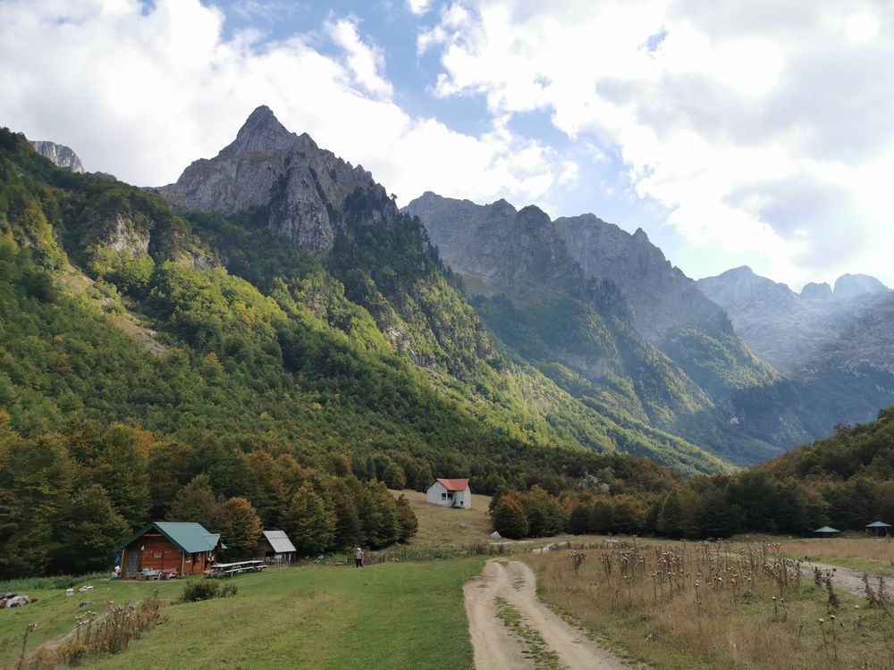
Bjelasica is the range of rounded summits and open meadows that rises behind Kolašin. Most peaks around the town are steep and rocky, but here grassy tops make for very easy walking right up to the highest points.
Glacial lakes lie in the hollows below the summits. Pešića Lake sits at 1,821 m in the bowl between Crna Glava, Zekova Glava and Belil.
Ursulovačko Lake, under Crna Glava, is the highest of them at 1,895 m, and its water is cold and very clear.
On the northern side the range drops into the forest of Biogradska Gora National Park. The shepherds' summer settlements sit in sunny hollows with good grazing, and Vranjak, on the park boundary, has been used this way for centuries and still is.
The marked summit walk begins at the Vranjak mountain lodge, above the ski centres.
From there a track runs along the southern slopes of Troglava and Zekova Glava, with the Komovi and Ključ in view to the south and Biogradsko Lake in the forest below to the north. It skirts the fenced top of Zekova Glava to a viewpoint over Pešića Lake.
From the viewpoint the path follows the rim of the Pešića bowl to Crna Glava. A signposted turning on that path drops to the lake shore, and the way back passes below Troglava and the spring of the Biogradska River.
For a longer day, a marked trail climbs from the Trešnjevik pass, on the Mateševo to Andrijevica road, over the Raskrsnica pass (1,725 m) and follows the road on to Vranjak.
The Bjelasica Ultra Trail takes place on the first weekend in August, with races from a 250 m children's race to the 45 km Three Lakes.
September and October bring autumn colour to the beech forests below the ridges, and the mountain roads are quiet.
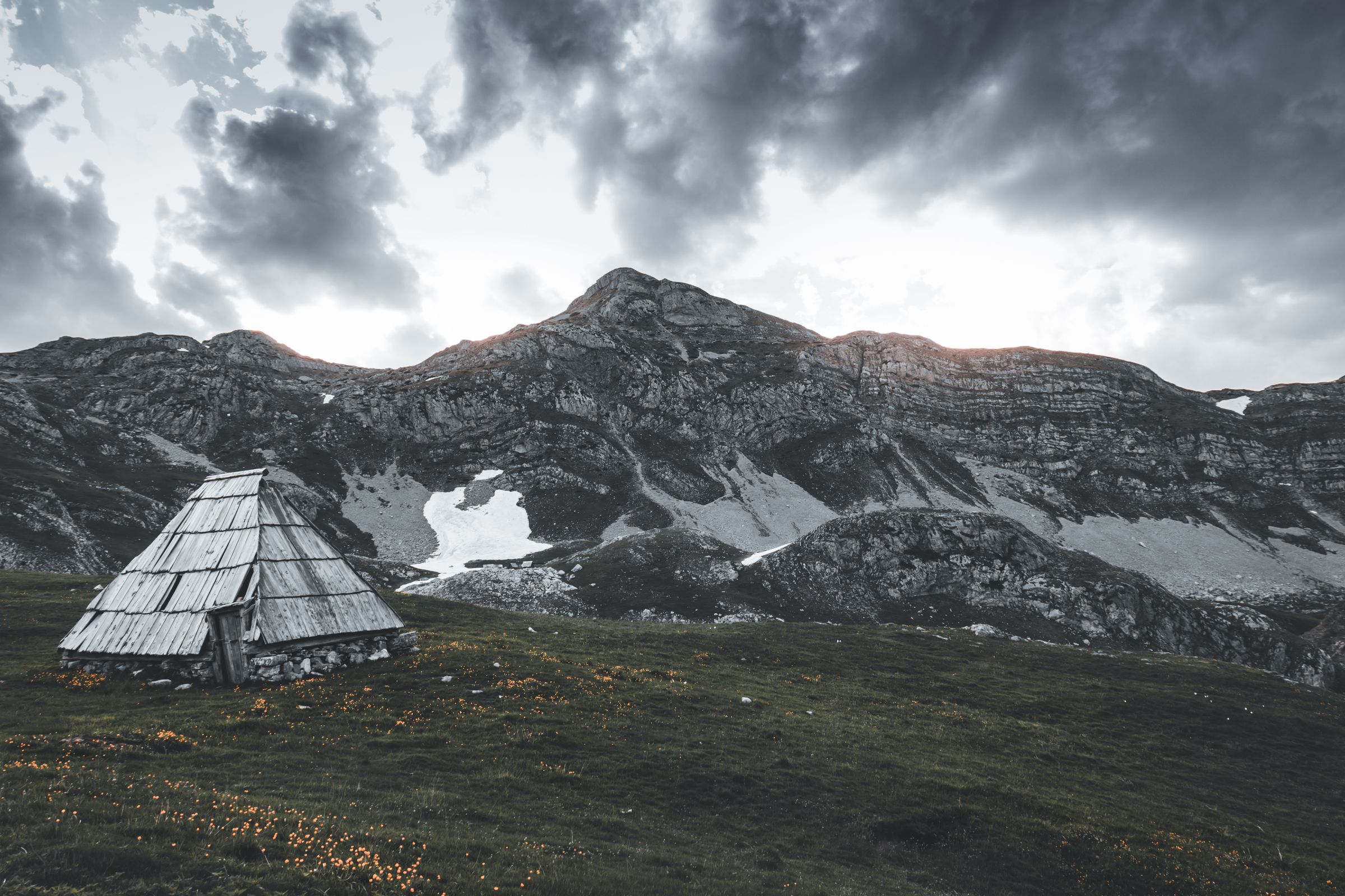
Pick your season before you book: in winter you ski on the slopes above the town, and from June the same mountain is walking country, with a primeval forest a short drive away.
Read the Kolašin guideExplore the rest of Kolašin
Ski slopes in winter and one of Europe's last primeval forests in summer both lie a short drive from this mountain town, 954 metres up at…
A rough mountain road climbs to the summer shepherd pastures at Štavna, where the routes onto the Komovi peaks start and a growing number…
The last town before the Albanian border, in a green basin at the foot of the Prokletije, with minarets, a few cafés and guesthouses that…
One of the last fragments of primeval forest in Europe, ringing a glacial lake at about 1,100 metres between Kolašin and Mojkovac. The…
A four-star mountain hotel among pine trees a short walk from the centre of Kolašin, the successor to the Hotel Bjelasica of 1948, with an…
A Serbian Orthodox monastery founded in 1252 on a terrace above the Moraca canyon, holding some of the country's most important medieval…
Ten kilometres from Gusinje, below the town of Plav, the largest glacial lake in Montenegro spreads across the valley floor with the…
Dozens of small springs rise out of the ground at the foot of the mountains on the southern edge of Gusinje and gather into a clear, cold…




Save Bjelasica to your Montenegro trip in the Meridian Dispatch app and build the day around it, with the best of Kolašin pinned on one map.
Download on the App StoreLast updated