
Drive the road above Piva Lake, green water held between limestone walls in the far northwest, and stop below Mratinje Dam to see how much water one concrete wall holds back.
Lake, Plužine. Meridian Dispatch.
Mratinje Dam is 220 m high, one of the highest dams in Europe. The concrete arch holds back the Piva River to form the lake.
Yes, it is worth a brief stop for photographs. The dam is working infrastructure with no visitor centre; the usual view is from the road or a boat.
By car, the route runs from Podgorica on the main road to Nikšić, then follows the Podgorica to Sarajevo road up through the Piva canyon to Plužine. The whole drive is about 140 km and takes around 2.5 hours.
The road clings to the canyon walls above the water and passes through more than 50 tunnels between Plužine and Šćepan Polje. It is part of the Podgorica to Sarajevo route through the Piva canyon.
Yes, in the warmer months. Trips run mainly from around Plužine and cruise past towering cliffs, hidden coves and stretches of shoreline the road never touches.
In summer, the same months as the best time to visit, when the weather on the lake is warm enough for swimming and kayaking as well as sightseeing.
Piva Lake is the largest body of freshwater lying wholly inside Montenegro. It looks like a mountain fjord, a 45 km band of green water held in the canyon of the Piva River, but it is a reservoir.
When the Mratinje Dam closed the canyon, the rising water covered the old valley, the original town of Plužine and dozens of villages. The new town was built at a higher location, so the Plužine you drive into today sits above water that hides its predecessor.
At Mratinje the two halves of the canyon meet. On one side lies the lake. On the other, the Piva canyon, 33 km long and up to 1,200 m deep, drops away.
Plan the lake as a drive with stops. It lies on the Durmitor Ring, so a drive of that loop can take in the shore as a detour.
To see the lake from the water, take a boat trip. In summer the boats also give you a view of the Mratinje Dam wall from the water.
Finish at Mratinje and stand below the dam. From there the lake on the far side sits nearly 200 m above the river outlet, and the height of the wall becomes obvious.
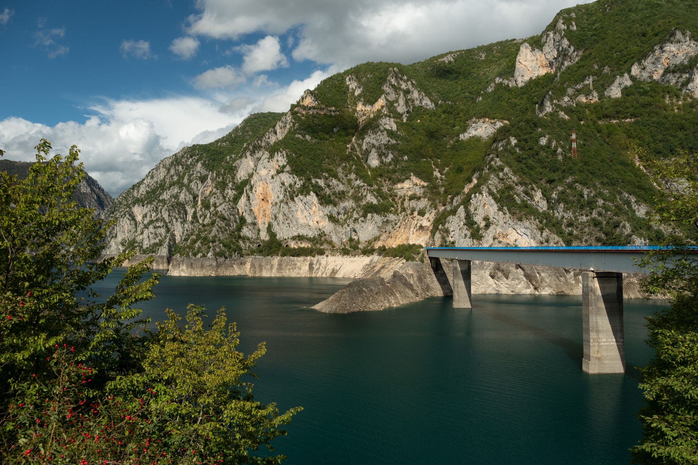
Stay in Plužine and Piva Lake is a walk down the hill. Hire a kayak at the marina in the morning, then drive north up the canyon road to the via ferrata near Mratinje.
Read the Plužine guideExplore the rest of Plužine
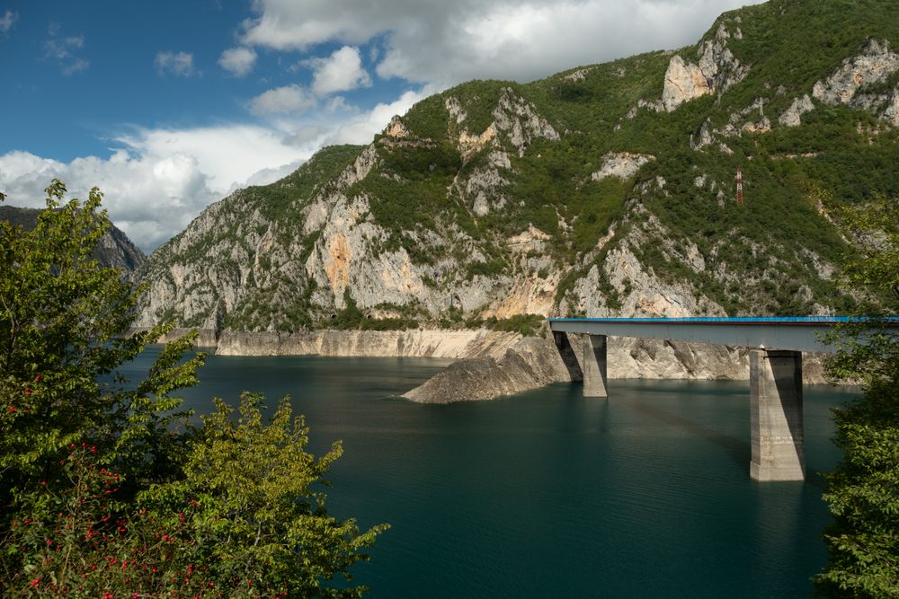
Plužine was rebuilt on the hillside in the 1970s, when the new dam on the Piva flooded the old town below. It is small, practical and…
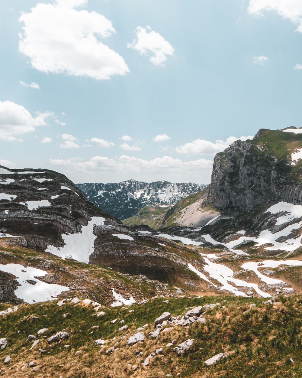
Durmitor's 2,523-metre summit, climbed most directly from the Sedlo pass in five to eight hours return. The final half hour is a narrow…
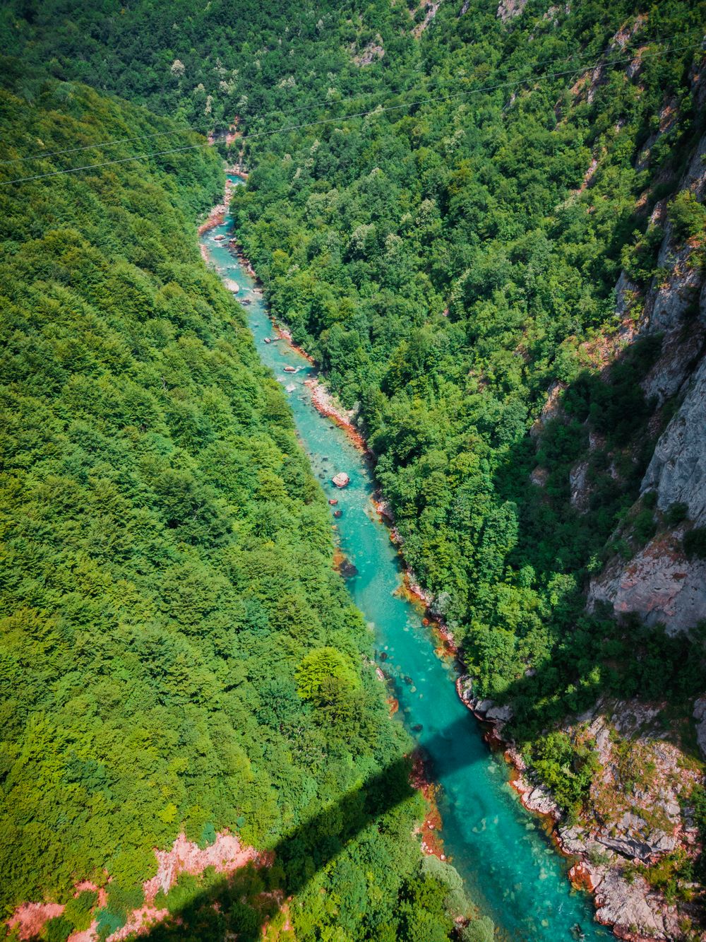
The Tara canyon is up to about 1,300 metres deep, the deepest in Europe, and rafting trips run the river along its floor. Come in May or…
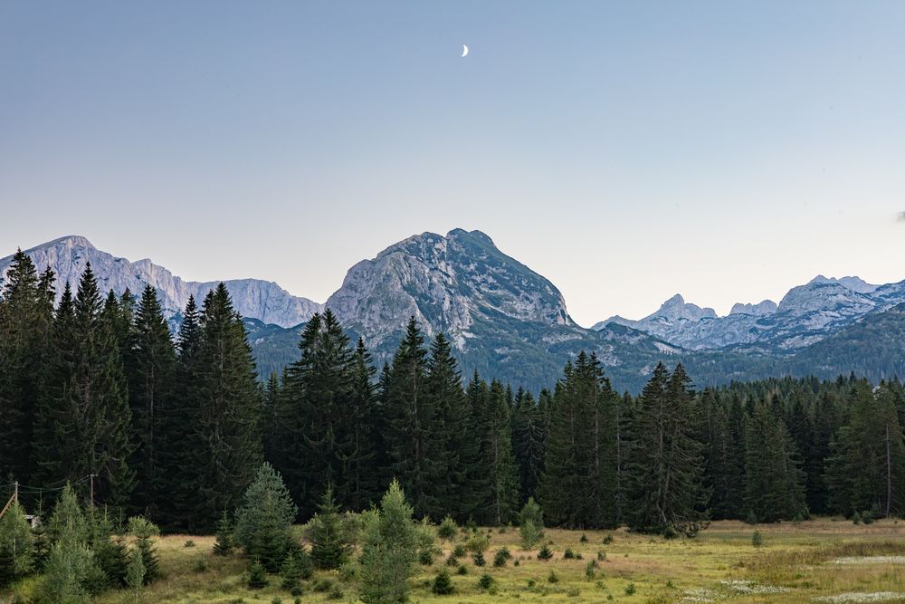
The highest town in the Balkans at 1,456 metres, and the gateway to Durmitor National Park. Black Lake is a forty-minute walk from the…
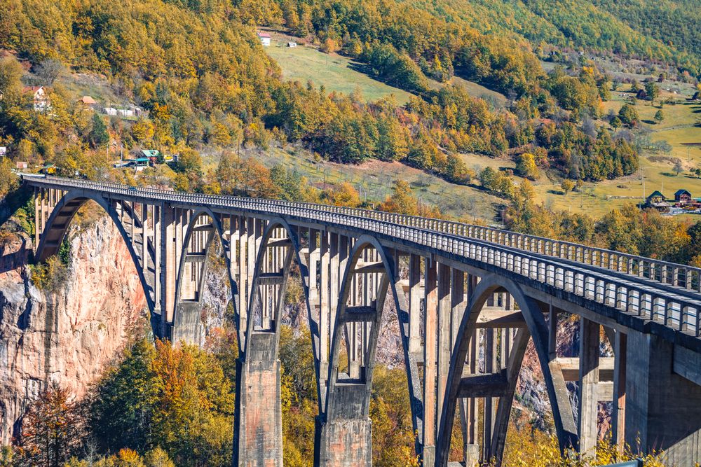
Five concrete arches carry the road across the Tara canyon 23 kilometres from Zabljak, about 170 metres above the river at the most…
Two glacial basins under Međed peak in Durmitor, joined by a narrow strait that dries in summer until the pair separate. A path of about…
A four-star hotel on the first kilometre of the road to Black Lake, inside Durmitor National Park at Žabljak. Built in a modern take on…
A narrow limestone canyon on the Mrtvica, which joins the Morača at Međurječje, about 45 minutes' drive south of Kolašin. The easy walk to…




Save Piva Lake to your Montenegro trip in the Meridian Dispatch app and build the day around it, with the best of Plužine pinned on one map.
Download on the App StoreLast updated