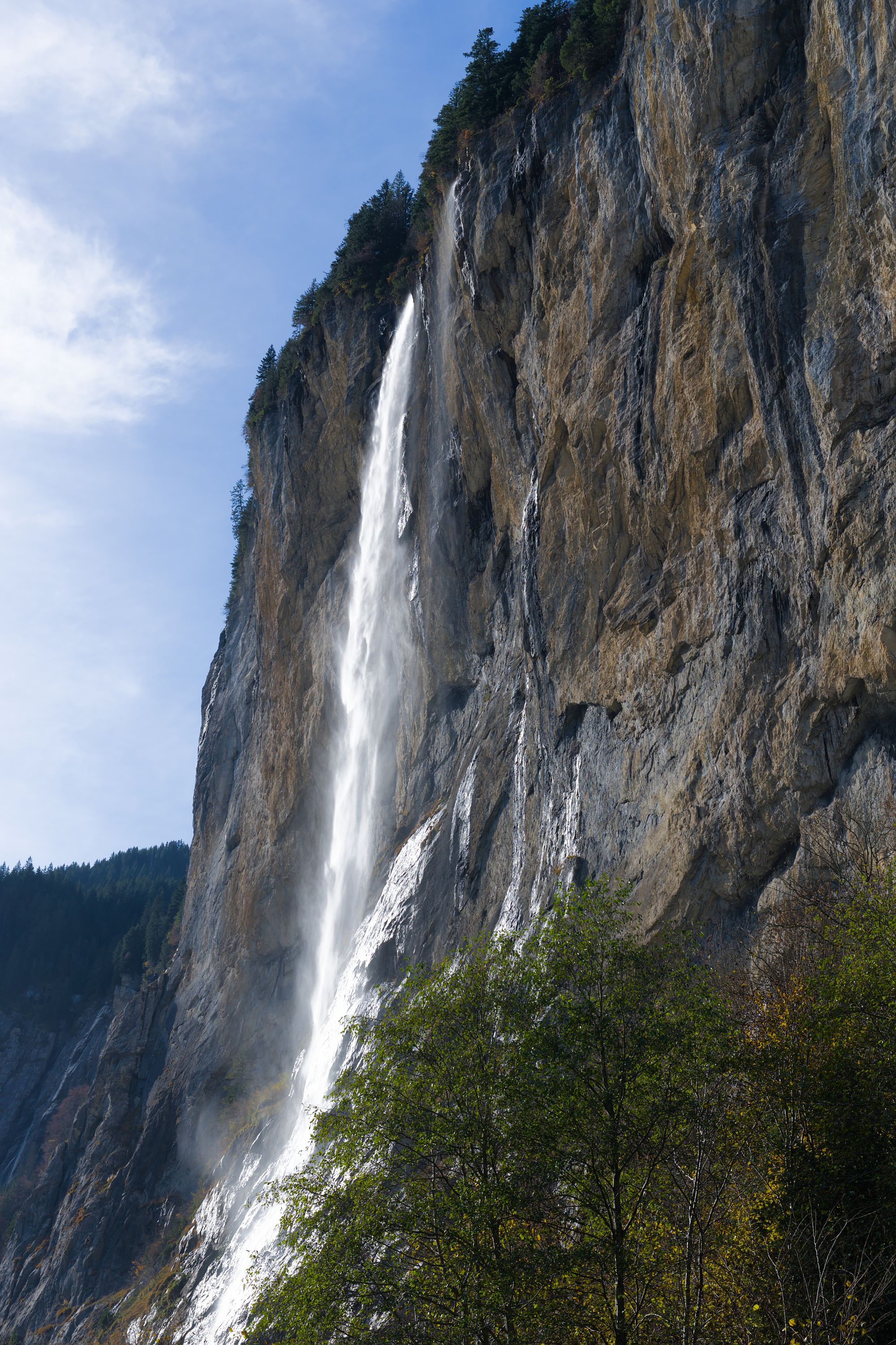
One short, steep climb from the village takes you onto a ledge behind the Staubbach, where you look out over the Lauterbrunnen valley through the falling spray.
Waterfall, Lauterbrunnen. Meridian Dispatch.
Yes, from May to October. A dirt path climbs from the bottom of the cliff in tight switchbacks, then runs through a tunnel in the cliff to the Staubbach Gallery, a lookout behind the falling water. The climb takes twenty minutes to half an hour each way. Outside the season the gallery is shut, and the fall itself can still be viewed from the valley floor.
Free, with no ticket and no gate. The base and the gallery path keep no opening or closing times within the season, so an early or a late visit is as open as a midday one. The only charge most visits meet is the metered parking in the village.
Five to ten minutes on foot. The walk runs through the village to a paved path to the foot of the cascade. Lauterbrunnen station is 24 minutes by train from Interlaken and about two and a half hours from Zurich, so the fall fits easily into a day trip without a car.
Yes, as far as Lauterbrunnen. The metered car park beside the church is the closest, and the path to the fall starts next to it. When that lot is full, the parking garage behind the train station is the fallback, a short walk further. Parking in the village is paid either way.
297 metres, or 974 feet. The stream falls from a hanging valley high over the village, and across that drop much of it turns to spray before reaching the ground. The volume changes through the year, highest after rain and in the snowmelt weeks early in the season.
Late spring and early summer, when melting snow gives the fall its strongest flow. The gallery opens in May, which makes the weeks from May into early July the fullest season. The fall stands all year, though, and in winter it is often iced over, a different sight seen from the base.
The official site of Staubbach Falls is lauterbrunnen.swiss.
lauterbrunnen.swiss →Staubbach drops 297 metres from the lip of a hanging valley above Lauterbrunnen, and the stream meets almost no rock on the way down. Much of the water breaks into spray before it lands, which is where the name comes from: in German it means dust creek.
The gallery is what sets it apart from a view from the road. A stairway and a tunnel cut into the cliff lead to a grotto behind the falling water. From there you stand with the spray in front of you and the valley floor and the mountains beyond it.
Staubbach marks the entrance to the valley and is the landmark of the 72 falls that pour off its cliffs. Goethe wrote his poem Song of the Spirits over the Waters after seeing it.
From the church car park, a paved path leads to the foot of the fall, where the climb to the gallery starts. It takes about half an hour on a dirt path that switchbacks up the slope. A few minutes in, you reach a tunnel about 50 metres long, cut into the cliff.
Beyond the tunnel, metal stairs and railings run along wet, uneven rock to the lookout behind the water. Stop there for the view out through the spray over the valley, and hold the rail on the way down.
Then walk back towards the church. From the base the fall is too close to take in, and it shows better from further away in the village.
In summer the path is crowded from mid-morning, so avoid midday. Wear shoes with grip for the wet rock and stairs, whatever the weather in the village.
Pair it with Trümmelbach Falls, 3 km south on Bus 141, where ten glacier-fed falls can be viewed from platforms and a lift takes you part of the way up. Unlike Staubbach it is ticketed and open April to November, and sandals or flip-flops can get you turned away at the entrance. Dogs and children under four are not allowed.
To go on up the Schilthorn, take the postbus from Lauterbrunnen to the valley station of its cableway.
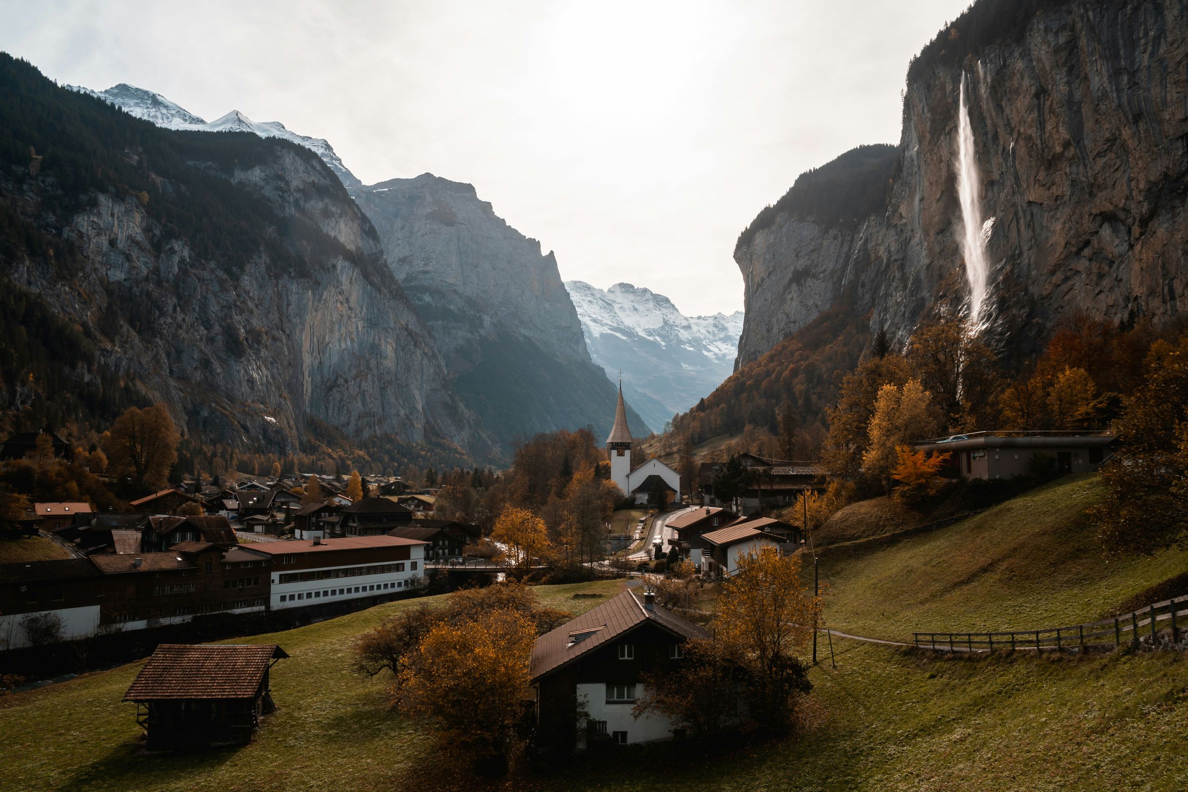
Lauterbrunnen, Switzerland: Lauterbrunnen is a village on the floor of a glacial trough in the Bernese Oberland.
Read the Lauterbrunnen guideExplore the rest of Lauterbrunnen
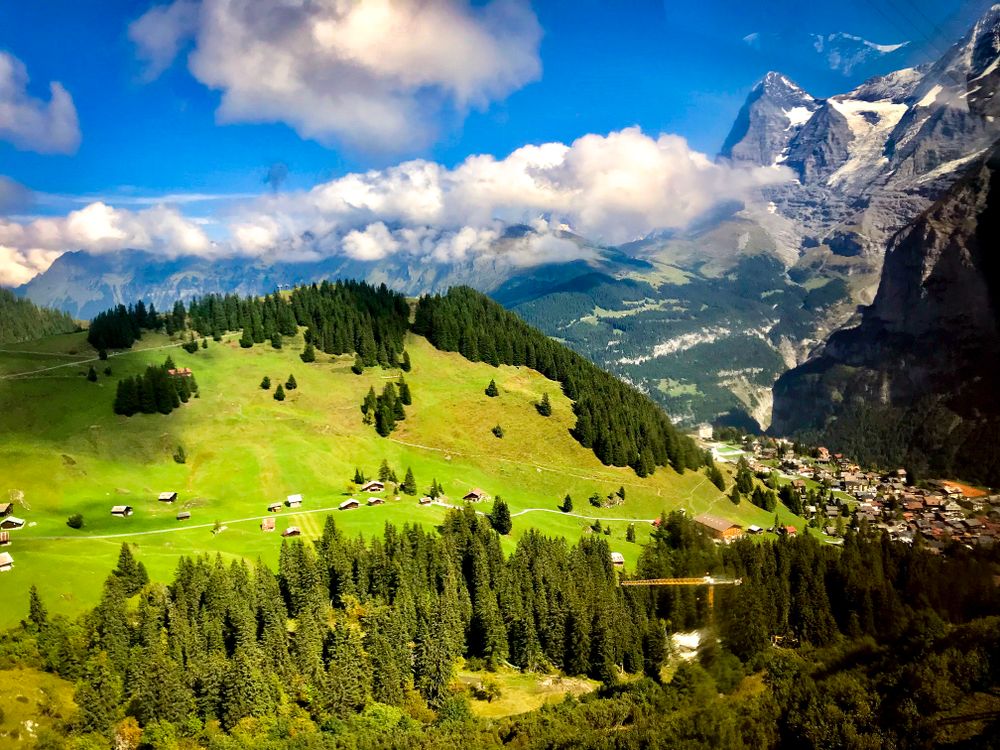
Mürren sits on a terrace at about 1,650 metres on the western wall of the Lauterbrunnen valley, directly opposite the Eiger, Mönch and…
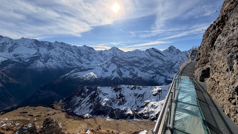
Birg is the middle station of the Schilthorn cable car, at about 2,680 metres on a rock rib above Mürren. The Thrill Walk runs about two…
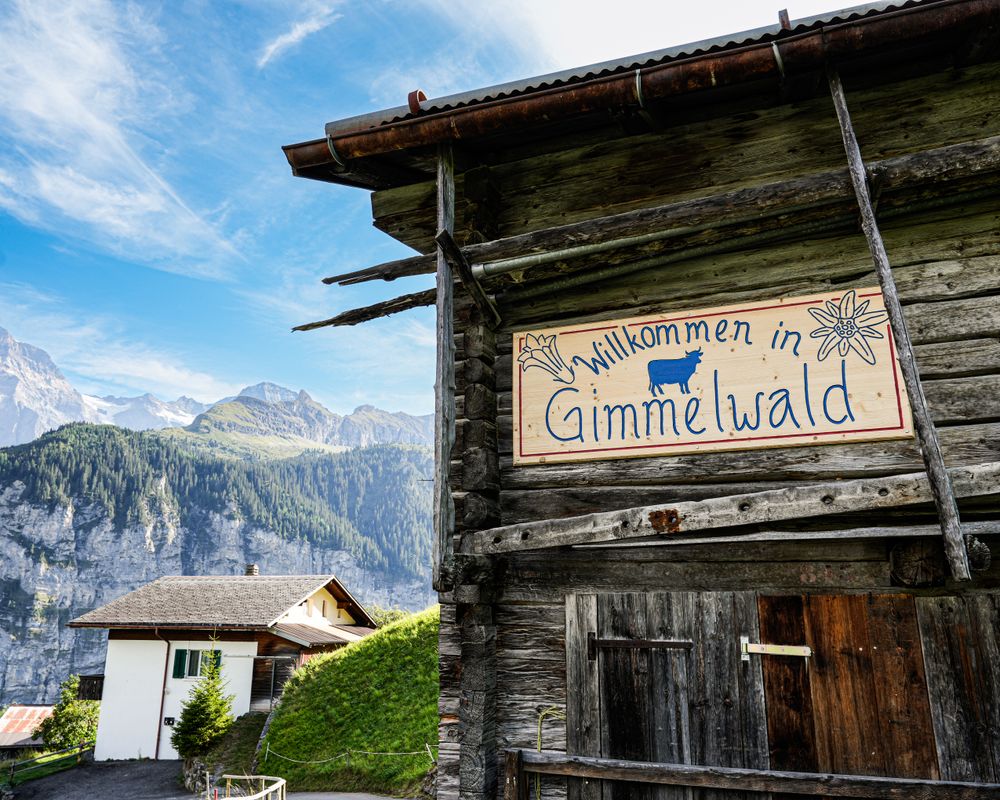
A car-free farming hamlet on the terrace below Mürren, with no road to it. The Schilthorn cable cars stop here between Stechelberg and…
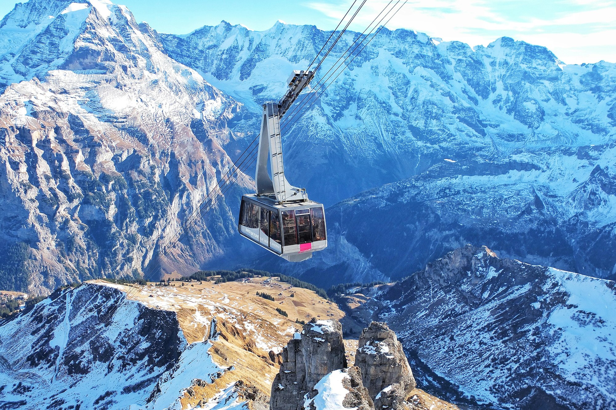
The Schilthorn rises to 2,970 metres above the western wall of the Lauterbrunnen valley. Its revolving restaurant, Piz Gloria, was half…
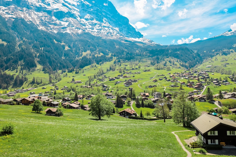
Grindelwald lies in a broad open basin at about 1,030 metres beneath the north face of the Eiger, the largest and busiest of the Jungfrau…
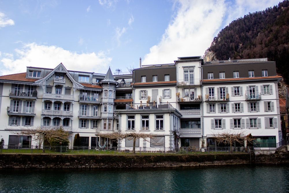
Interlaken sits on the flat alluvial strip between Lake Thun and Lake Brienz, the name meaning simply between the lakes. It began as an…
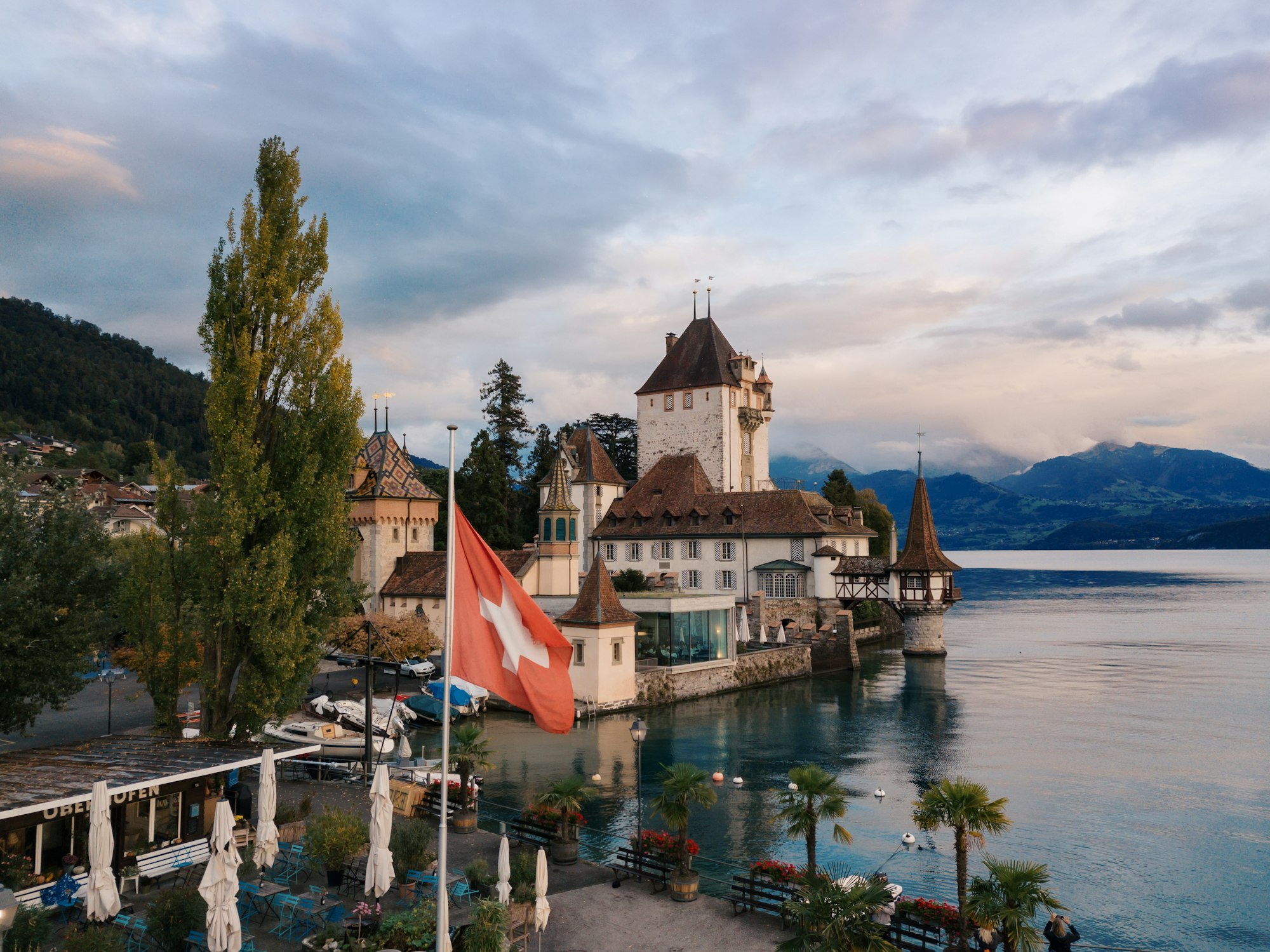
A castle standing in the water on the north shore, thirteenth century with a Turkish smoking room added in the nineteenth, in an English…
Victoria-Jungfrau Grand Hotel and Spa stands on the edge of the Höhematte, the open meadow in the middle of Interlaken, with the Jungfrau…




Save Staubbach Falls to your Switzerland trip in the Meridian Dispatch app and build the day around it, with the best of Lauterbrunnen pinned on one map.
Download on the App StoreThe official pages this guide was checked against.
Last updated