Globe Countries Cities Itineraries World's Best Hotels Events Login
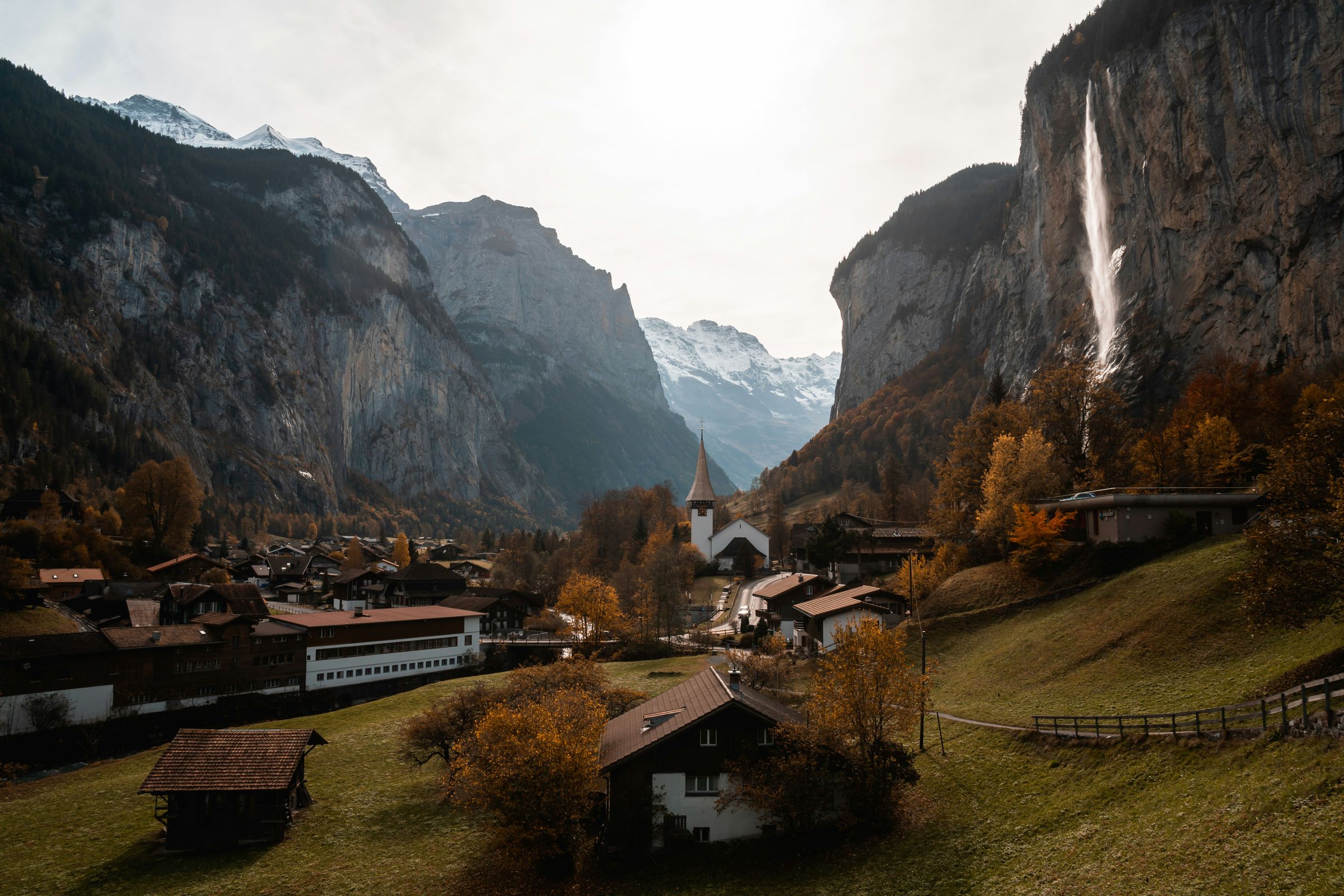
Lauterbrunnen's white church and chalets on the valley floor in autumn, the Staubbach waterfall falling from the cliff on the right and snow on the peaks at the head of the valley
The village and Staubbach in autumn · snow on the peaks at the head of the valley
Town brief · 46.5939°N 7.9078°E

Lauterbrunnen

Arrive in daylight and give it two nights: the cliffs and waterfalls are the reason to come, and Wengen, Mürren, the Schilthorn and Trümmelbach all start from the station or the bus outside it.

View on globe

Why you should go

Ninety seconds on Lauterbrunnen

How long
Two nightsone for the valley floor, one up at Mürren or Wengen
Getting around
Train, cableway and bus 141all from the station; Wengen and Mürren take no cars
When
June to Septemberfalls at full flow; much shuts from late October
Language
GermanBernese dialect; English is widely spoken
Money
The Swiss franccards widely taken; some cash for small cafés
Airports
Zurich ZRHunder three hours by train, changing twice
How long

How many days do you need in Lauterbrunnen?

Two nights. The first day covers the valley floor: Staubbach, the walk to Stechelberg and the Trümmelbach falls inside the mountain. The second goes up to one of the shelf villages, Mürren by the Grütschalp cableway or Wengen by rack railway, or to the Schilthorn on a clear day. A third night adds Jungfraujoch or a long hike at the head of the valley.

Getting around

Do you need a car in Lauterbrunnen?

No. Trains run from Interlaken Ost in about twenty minutes, the Wengen railway and the Grütschalp cableway leave from the station, and bus 141 runs every half hour to Trümmelbach and Stechelberg for the Schilthorn cable cars. Wengen and Mürren are car-free. Drivers use the garage beside the station, which fills early in summer.

When

When is the best time to visit Lauterbrunnen?

June to September, when the hiking paths are clear of snow and the waterfalls run at full flow. The Staubbach gallery is open from May to October and Trümmelbach from early April to early November. From late October to early December hotels, restaurants and lifts largely close for servicing; in winter the skiing is above, at Mürren and Wengen.

Language

What language is spoken in Lauterbrunnen?

German, spoken as Bernese dialect, with standard German on signs and timetables. English is widely spoken in hotels, at the station and on the lifts.

Money

What currency does Lauterbrunnen use?

The Swiss franc. Cards are taken almost everywhere, including at the station and the lifts, but a few small cafés and farm stands are cash only, so it is worth carrying some.

Airports

Which airport do you fly into for Lauterbrunnen?

Zurich, about two hours and forty-five minutes by train with changes at Bern and Interlaken Ost. Geneva is about three and a half hours by train. Bern's small airport is closer but has few flights.

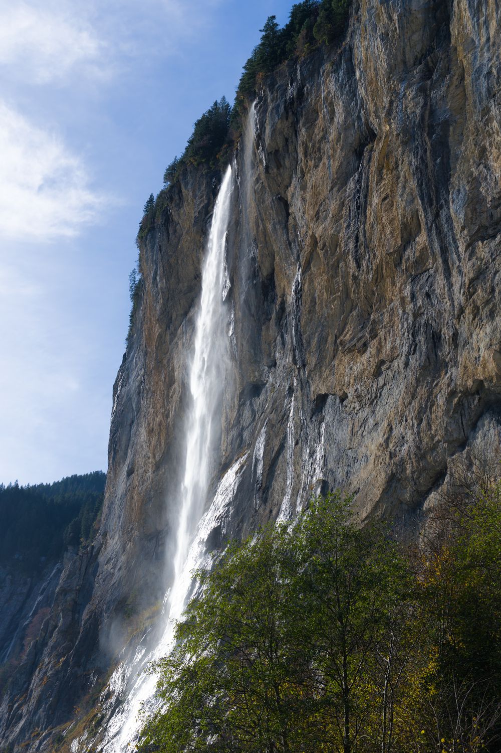
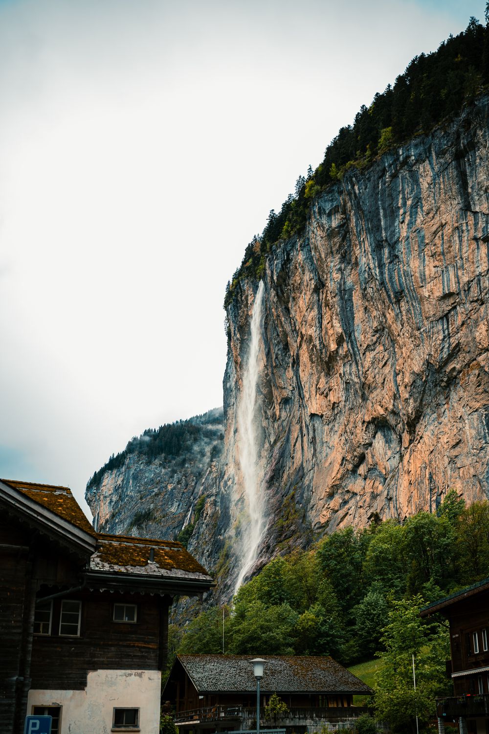
Walk the ten minutes from the station to the foot of Staubbach when you arrive. From May to October a stepped path and a short rock tunnel lead to a gallery behind the falling water. The steps stay wet from the spray, so wear shoes with grip.

Give one morning to the valley floor. Walk south to Stechelberg in about two hours, stop at Trümmelbach, where ten falls roar inside the mountain, and ride bus 141 back.

Spend the other day up on a shelf. The cableway beside the station climbs to Grütschalp, and a small train runs along the terrace to Mürren. If you want to walk, ride up and walk back down from Mürren to the valley; the path is steep.

Wengen is fifteen minutes the other way by rack railway, and the Schilthorn cable cars leave from Stechelberg.

Rooms here cost less than up in Wengen or Mürren, and a large campsite past Staubbach stays open all year. If you drive, leave the car in the multi-storey car park by the station.

Many hotels, restaurants and lifts in the valley close for maintenance at some point between late October and early December.

Things to do

14
  1. Lauterbrunnen Valley Floor Walk to Stechelberg

    Lauterbrunnen Valley Floor Walk to Stechelberg

    Trail · 2 hr

    Walk it one way, heading south as the cliffs close in, and take bus 141 back from Stechelberg. Allow two hours on foot.

  2. Staubbach Falls

    Staubbach Falls

    Waterfall · 1 hr

    One short, steep climb from the village takes you onto a ledge behind the Staubbach, where you look out over the Lauterbrunnen valley through the falling spray.

    View more →
  3. Hotel Bellevue des Alpes

    Hotel Bellevue des Alpes

    Hotel

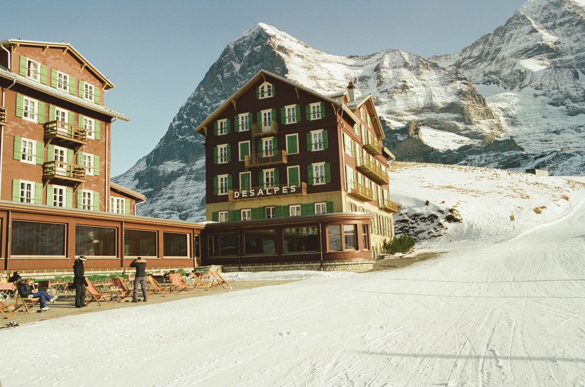
    A hotel on the pass at Kleine Scheidegg, kept deliberately as it was in the 1930s, which is why the Eiger climbing films are shot in it. It sits between the Eiger and the Jungfrau railway and the guests are mostly there for the silence after the last train.

  4. Schilthorn

    Schilthorn

    Viewpoint · 4 hr · 7 km

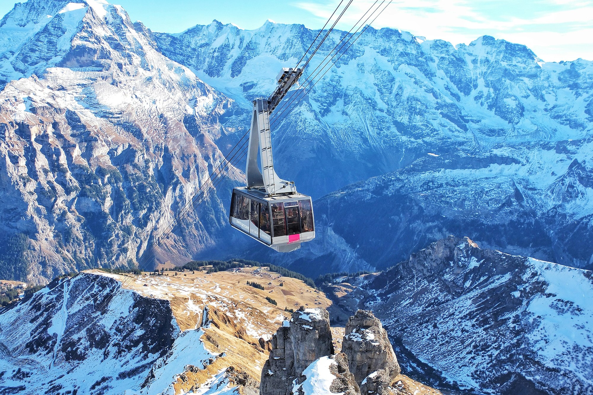
    Best saved for the first clear morning of your stay: from the 2,970m summit, the Eiger, Mönch and Jungfrau fill the view across the valley, and the revolving restaurant beside you starred in a Bond film.

    View more →
  5. Kleine Scheidegg

    Landmark · 1.5 hr

    The Eiger north face at close range, from a railway platform with no reason to leave it all afternoon.

  6. Lauberhorn

    Landmark · 2.5 hr

    Ski racing's longest and most feared descent, walkable end to end in summer.

  7. Lauterbrunnen to Grütschalp Cableway and Panorama Railway

    Railway · 30 min

    Sit on the left of the train from Grütschalp to Mürren: the Eiger, Mönch and Jungfrau stand across the valley for the whole ride.

  8. Männlichen

    Cableway · 2 hr

    One ridge, two valleys and the whole Jungfrau wall, with almost no walking required.

  9. Männlichen to Kleine Scheidegg Panorama Trail

    Trail · 1.5 hr

    An hour and a half of near-level walking with the three great faces never leaving the frame.

  10. Talmuseum Lauterbrunnen

    Museum · 45 min

    Save it for a wet summer afternoon when the cliffs are in cloud, and check the opening days before you walk over from the station.

  11. Trümmelbach Falls

    Waterfall · 1.5 hr

    Wear closed shoes with grip and a rain jacket: the spray soaks you on the stairs, and children under four are not allowed in.

  12. Wengernalp

    Railway · 1 hr

    The Jungfrau at close quarters from an almost empty alp, one stop short of the crowds.

  13. Isenfluh and the Sulwald Cableway

    Village · 3 hr

    Ride the eight-person cable car from Isenfluh to Sulwald for the Eiger, Mönch and Jungfrau away from the big lifts, and check the bus times first: buses run only every one to two hours, and the last leaves about half past six.

  14. Obersteinberg and Oberhornsee

    Lake · 7 hr · 10 km

    Start from Stechelberg early and give it the whole day. To have the head of the valley to yourself, book a night at the Obersteinberg inn and bring cash and a torch.
Basemap Meridian · data © OpenStreetMap

Dispatches

1
The Bernese Oberland, Floor to Summit
Lauterbrunnen

The Bernese Oberland, Floor to Summit

No road has ever reached Mürren or Wengen; everything above the valley floor moves by rail and cable, and in 2026 the whole system finished rebuilding itself.

Explore

More of Switzerland

Switzerland
Country

Switzerland

Every Switzerland town, place and dispatch, on one map.

Mürren
Town

Mürren

Mürren sits on a terrace at about 1,650 metres on the western wall of the Lauterbrunnen valley, directly opposite the Eiger.

Birg and the Thrill Walk
Viewpoint · Mürren

Birg and the Thrill Walk

Step off one stop below the Schilthorn summit and a steel walkway takes you along a sheer rock face over a vertical drop.

Grindelwald
Town

Grindelwald

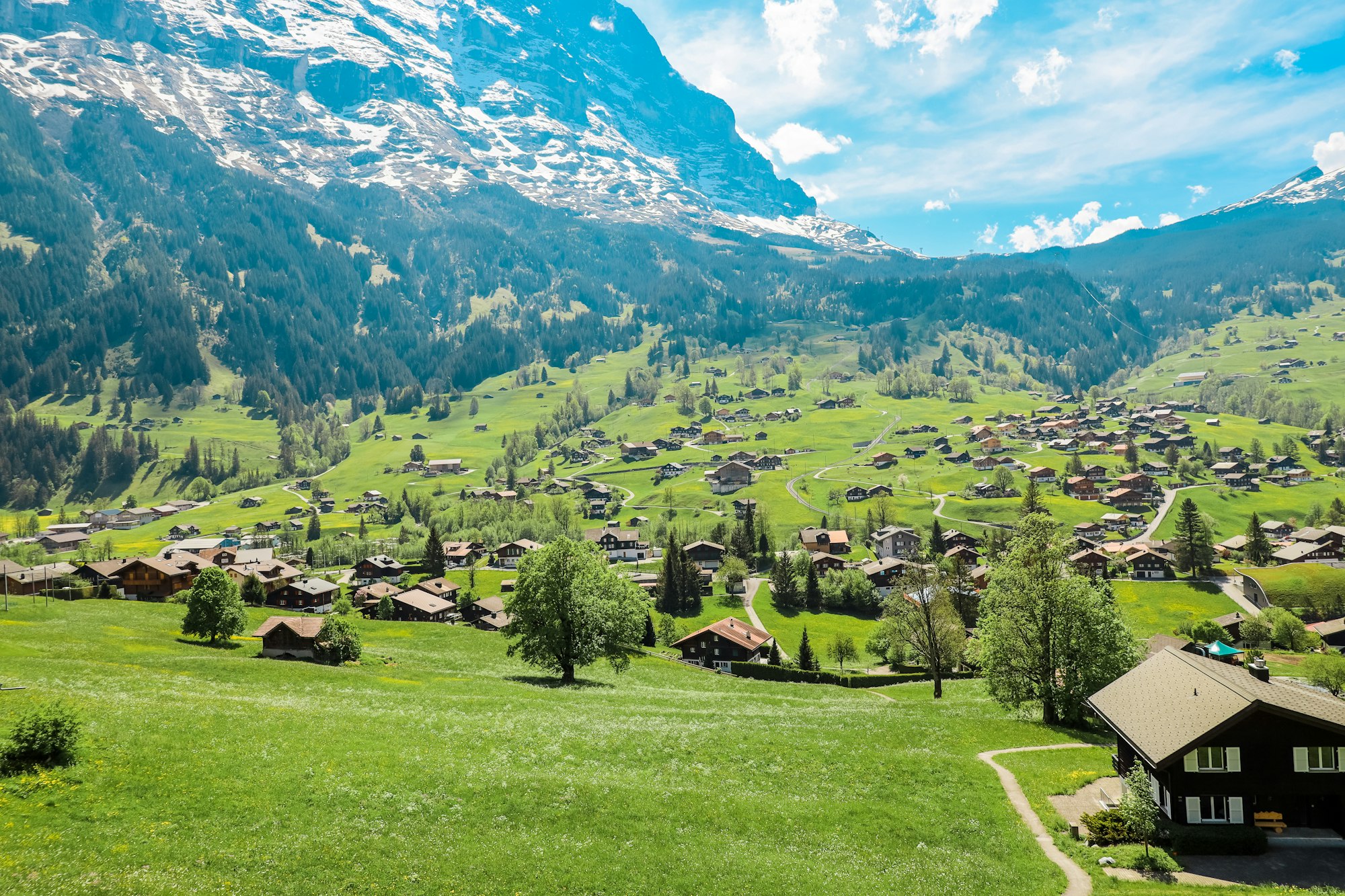
Grindelwald lies in a broad open basin at about 1,030 metres beneath the north face of the Eiger.

Gimmelwald
Village · Mürren

Gimmelwald

Worth a stop on the way up the Schilthorn, Gimmelwald is a farm hamlet one cable car stop above the valley.

Sources 3

The official pages this guide was checked against.

Last updated