Globe Countries Cities Dispatches World's Best Events Get the App
Grindelwald, Switzerland
Switzerland

Things to do in Grindelwald

Why you should go

Ninety seconds on Grindelwald

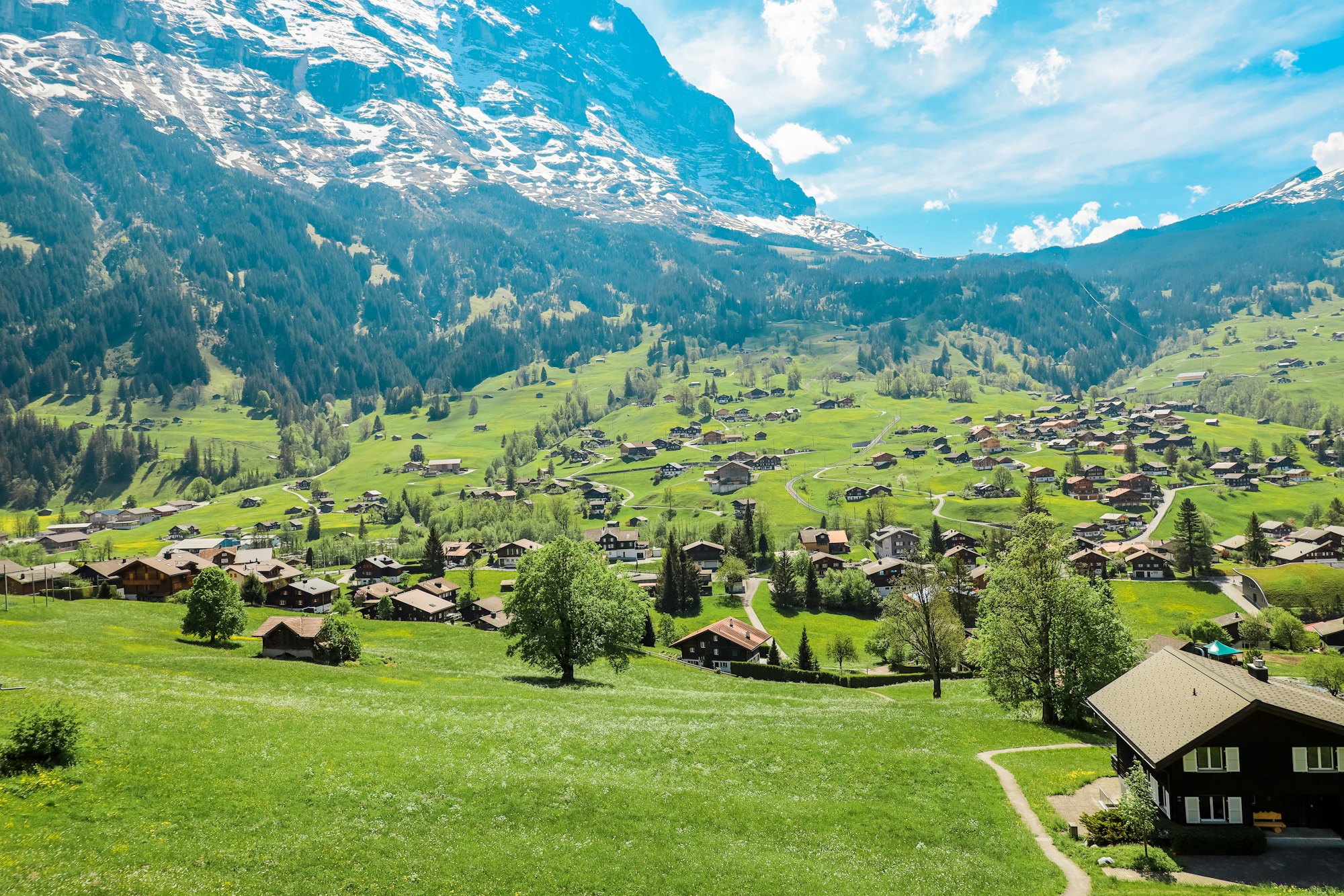
Grindelwald lies in a broad open basin at about 1,030 metres beneath the north face of the Eiger, the largest and busiest of the Jungfrau region villages. It has been a mountaineering base since the 1850s, when its two glaciers reached almost to the valley floor, and the retreat of that ice is now written plainly on the rock above the village. Modern access is unusually good: direct trains from Interlaken Ost, the Eiger Express gondola from Grindelwald Terminal towards the Jungfraujoch, and the First cableway on the sunny northern side. Unlike Wengen and Mürren it is open to cars, which makes it the practical base for anyone driving into the region.

7 places on record
View on globe

Things to do

7
  1. Bachalpsee

    Bachalpsee

    Lake · 2.5 hr

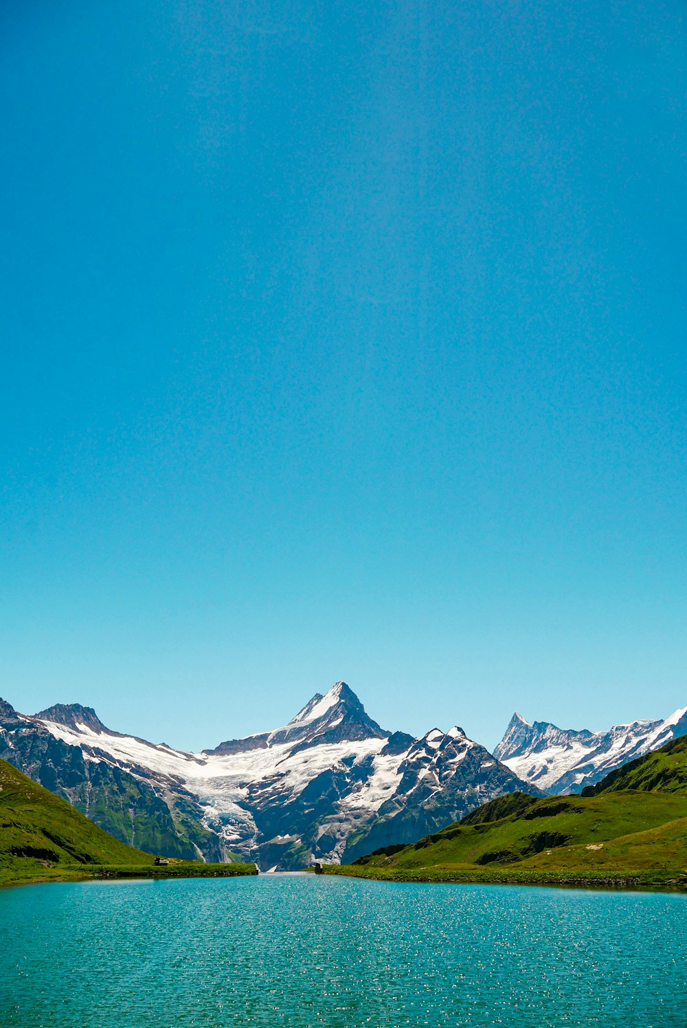
    The Bernese giants doubled in still water, at the end of an hour of easy path.

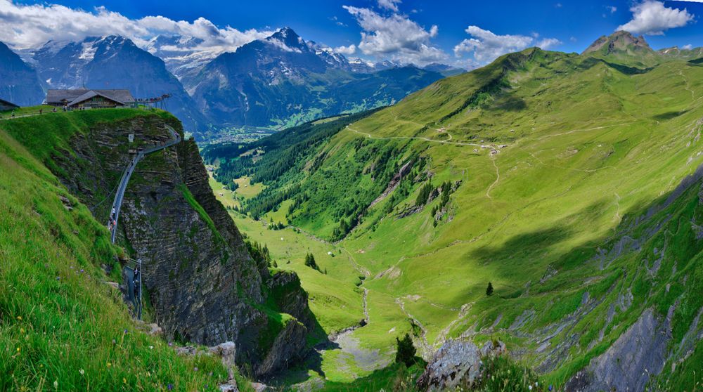
  2. Grindelwald First and the First Cliff Walk

    Grindelwald First and the First Cliff Walk

    Viewpoint · 2 hr

    A gangway pinned to a cliff with the Eiger, Mönch and Jungfrau lined up across the valley.

  3. Eiger Trail

    Trail · 2.5 hr

    The Eiger north face from directly underneath it, for the length of an afternoon.

  4. Gletscherschlucht

    Gorge · 1.5 hr

    The glacier's own cut, walked from inside it, with the ice loss marked on the rock.

  5. Jungfraujoch

    Railway · 4 hr

    Europe's highest railway station, delivered by tunnel through the Eiger onto the edge of the Aletsch glacier.

  6. Pfingstegg

    Cableway · 1.5 hr

    The cheapest and quickest way onto the wall opposite the Eiger, with the glacier walks starting at the door.

  7. Eiger

    Viewpoint · 1 hr

    The mountain the village lives under, 3,967 metres, whose north face is two and a half kilometres of rock that took until 1938 to climb and killed enough climbers first to earn its German nickname. It is visible from the whole valley floor.
Basemap Meridian · data © OpenStreetMap

Dispatches

1
The Bernese Oberland, Floor to Summit
Lauterbrunnen

The Bernese Oberland, Floor to Summit

No road has ever reached Mürren or Wengen; everything above the valley floor moves by rail and cable, and in 2026 the whole system finished rebuilding itself.

Explore

More of Switzerland

Switzerland
Country

Switzerland

Every Switzerland town, place and dispatch, on one map.

Wengen
Town

Wengen

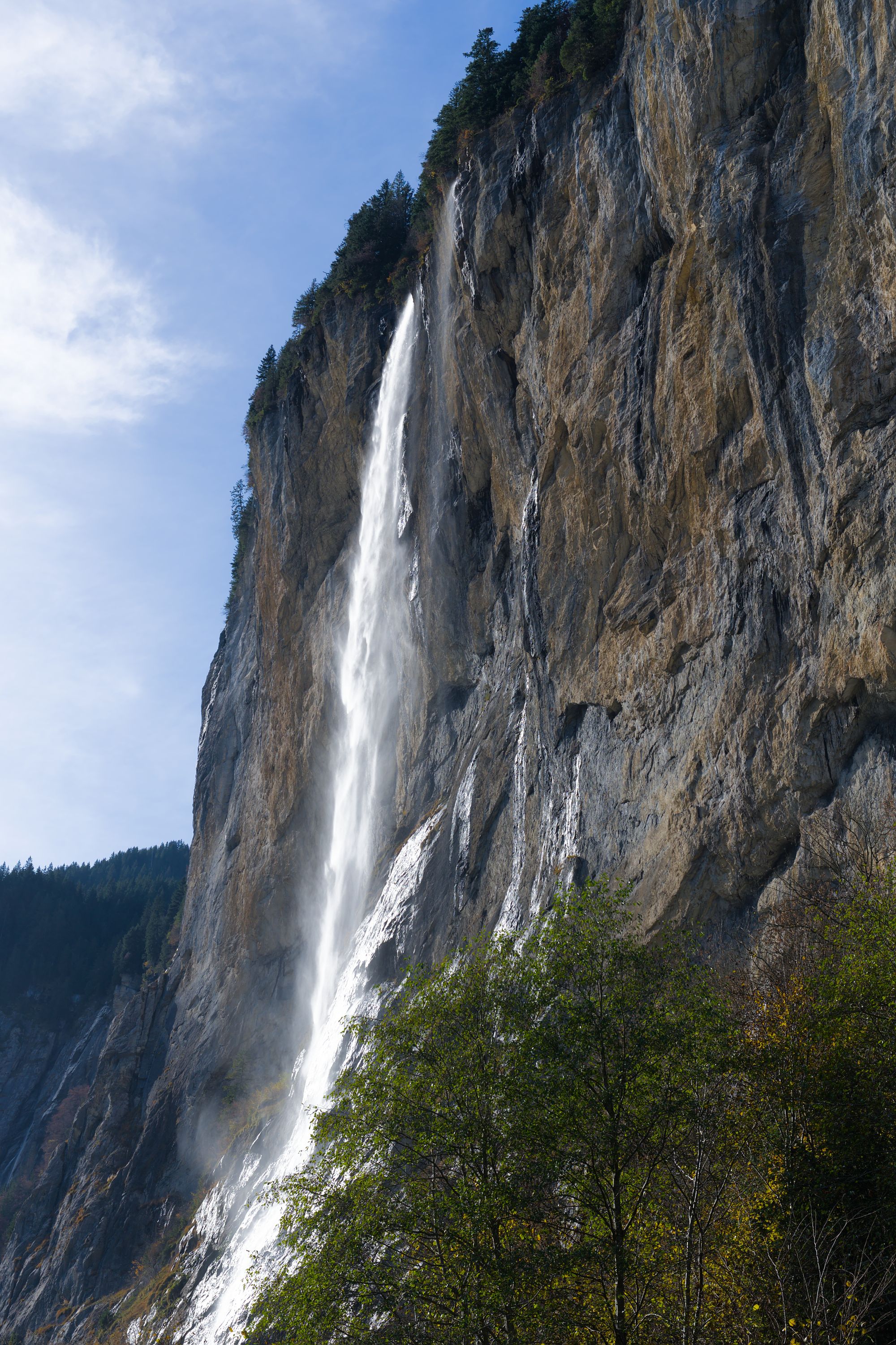
Staubbach Falls
Waterfall · Lauterbrunnen

Staubbach Falls

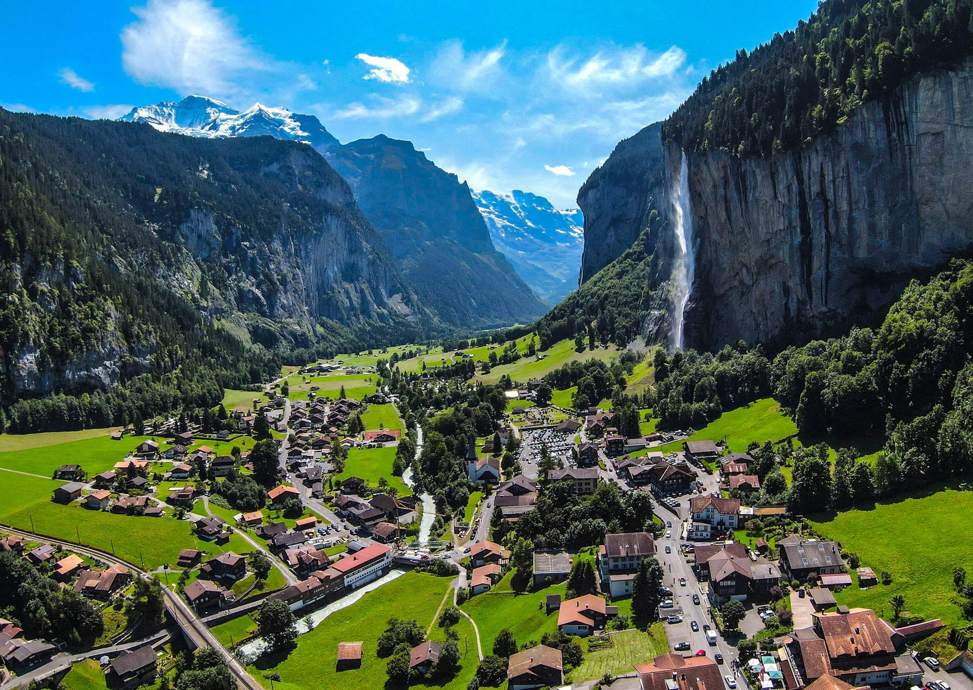
The single image the whole Lauterbrunnen valley is built on, and it stands at the edge of the village.

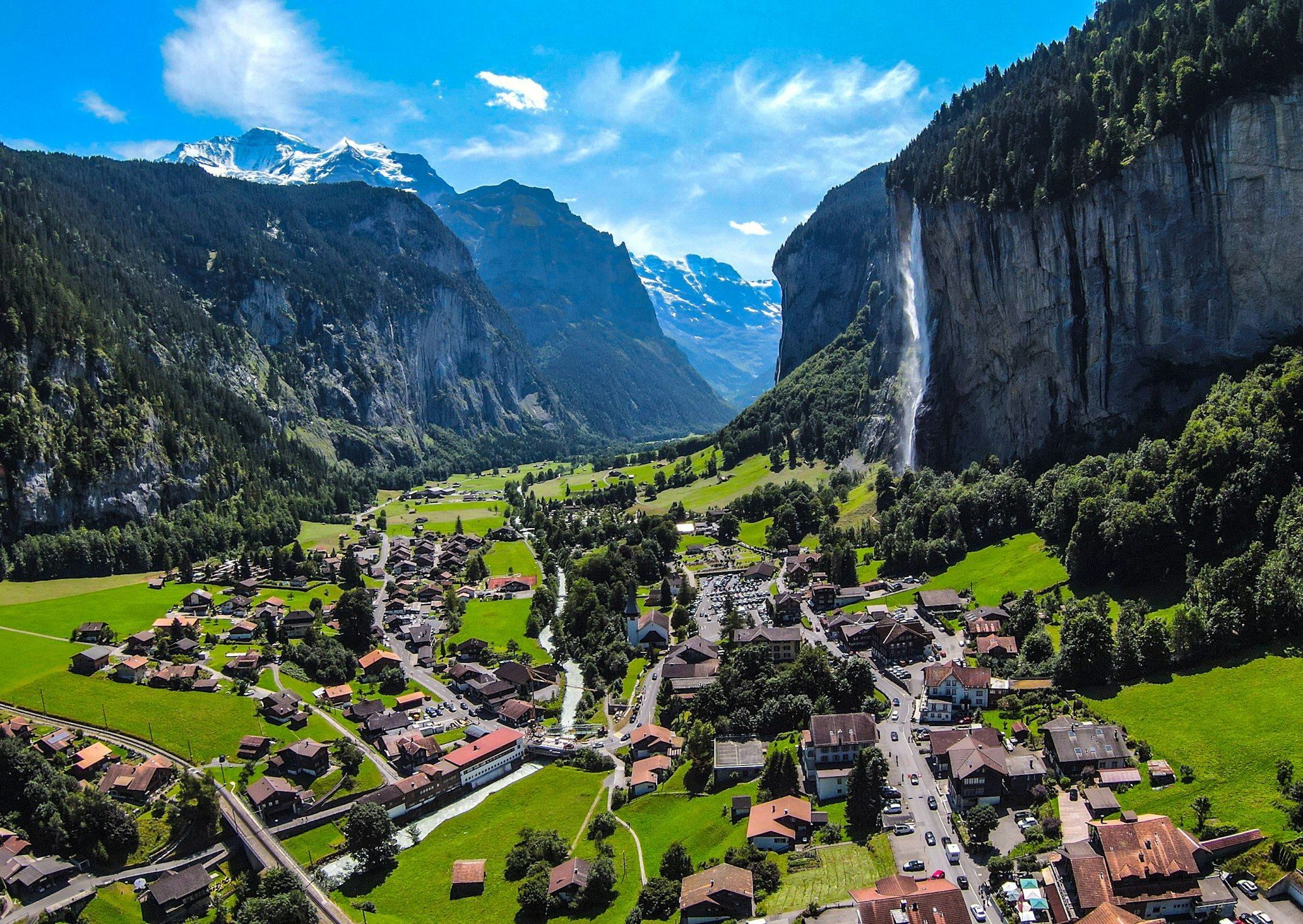
Lauterbrunnen
Town

Lauterbrunnen

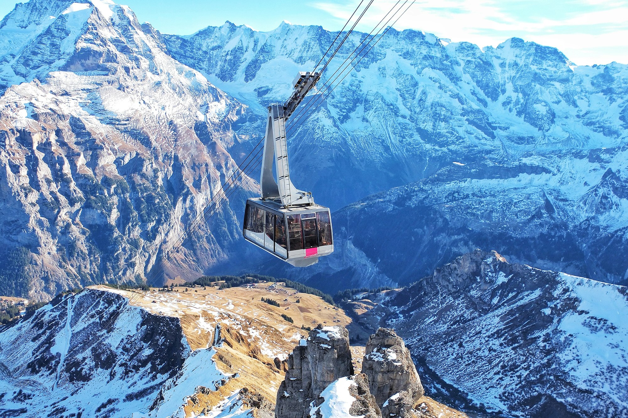
Schilthorn
Viewpoint · Lauterbrunnen

Schilthorn

Stop at Birg on the way down.

Last updated

Meridian Dispatch for iPhone

Plan the trip.
Keep the journal.

Every other travel app asks you to start logging. Meridian Dispatch opens with years of your travel already written, from the photographs you already took.