
Halfway across this see-through walkway, the longest pedestrian suspension bridge in the Alps, you look straight at the Weisshorn across the Mattertal. Reaching it takes a stiff climb out of Randa through larch forest.
Bridge, Zermatt. Meridian Dispatch.
Allow about 4 hours for the marked circuit, path No. 69, which starts and ends at Randa station and covers 8.6 km. Its lowest point is 1,409 metres on the valley floor and its highest 2,267 metres.
Yes. Crossing the bridge is free of charge, and no ticket is needed. It can only be reached on foot, and the shortest path to it climbs from Randa station.
From May to late October. The trail to it from Randa closes at the end of October, and the bridge may not be crossed in winter. Its current status is published on europaweg.ch, which also carries a live webcam of the bridge.
The drop stays in view through the open floor all the way across, which is the hard part for anyone wary of heights. Randa's tourism site describes the deck as extremely stable despite its delicate look.
Yes. The bridge completes the Europaweg, the two-day trail from Grächen to Zermatt. Walking to it takes six to seven hours from Grächen or from Zermatt.
The circuit is rated suitable for the whole family, as long as each walker is surefooted. Many dogs are nervous on the see-through floor, so it is worth settling beforehand whether a dog, or a child, will cross.
The bridge runs 494 metres across the Grabengufer ravine, from the Lärchberg on one side to the Höüschbiel on the other. At its highest point the deck hangs 85 metres above the ground, and it is 65 centimetres wide. The span hangs from steel cables weighing eight tonnes in all.
The floor is an open grating, so the valley floor shows through it under every step.
The bridge is also known as the Monument for the Mountain Panorama, for its view of the peaks around the Mattertal.
The bridge opened in July 2017, when it held the world length record for its kind, built to replace an older crossing of the ravine that falling rocks had damaged.
Signposts marked "Europabrücke" lead out of Randa station and up through larch forest. The path passes the Hohtschugga viewpoint before it reaches the bridge.
The crossing itself takes a little under ten minutes. On the far side, turn right on the Domhüttenweg to drop back to Randa, or first make the detour to the Europahütte, a hut built on stilts.
Walked in the opposite direction, the loop takes about half an hour longer. If you come by car, the closest parking in Randa is beside the church.
Wear boots with good grip and carry water, food and a rain jacket whatever the forecast, plus sun cream, sunglasses and a hat on a clear day. Hiking poles are optional.
If you are unsure how the height will feel, try the smaller suspension bridge at Furi above Zermatt first. It is a fifth of the length and crosses the Gorner Gorge.
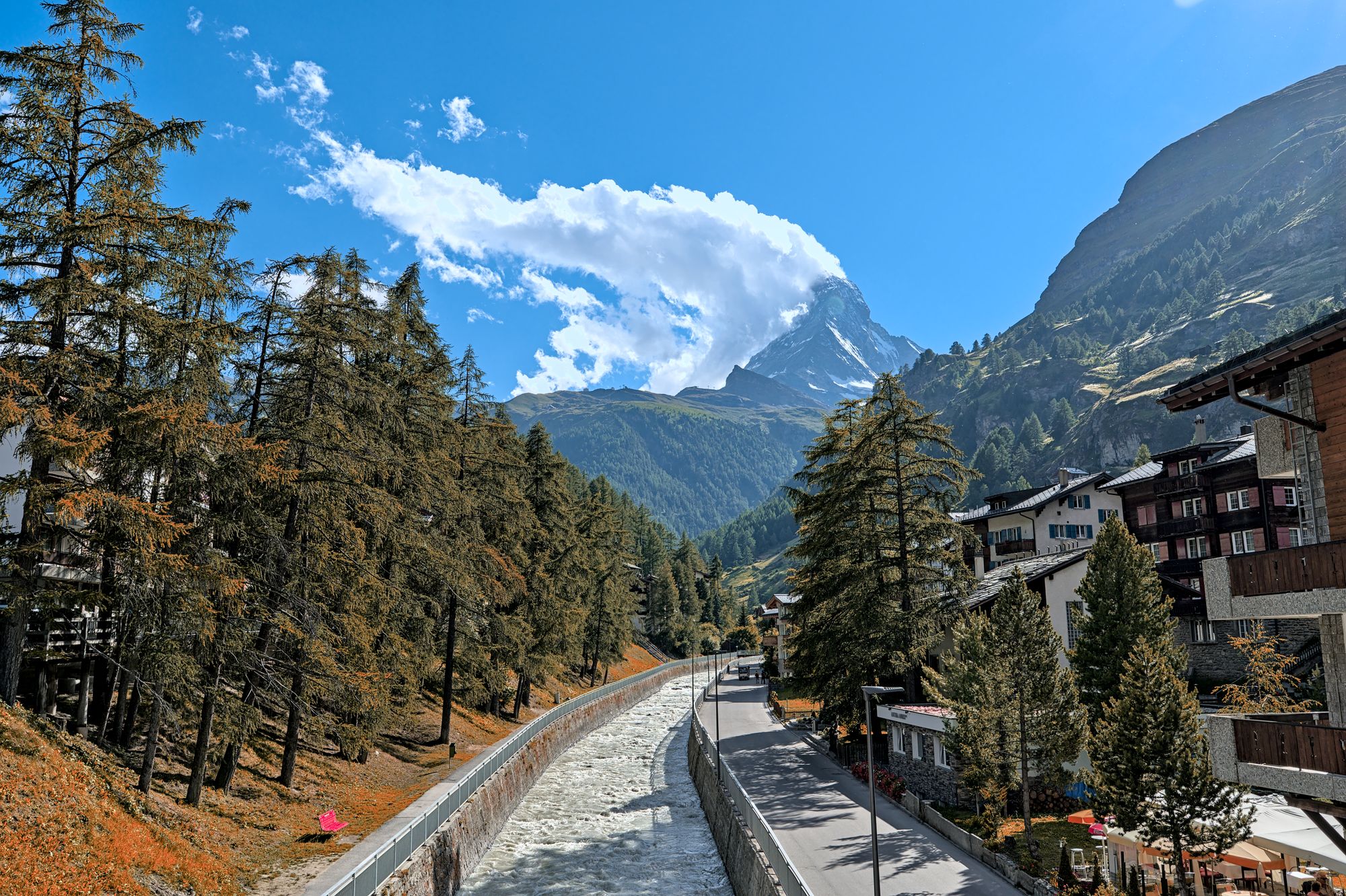
Three lift systems climb out of this car-free village, each to a different side of the Matterhorn. Give each one a morning, and keep a spare day for cloud.
Read the Zermatt guideExplore the rest of Zermatt
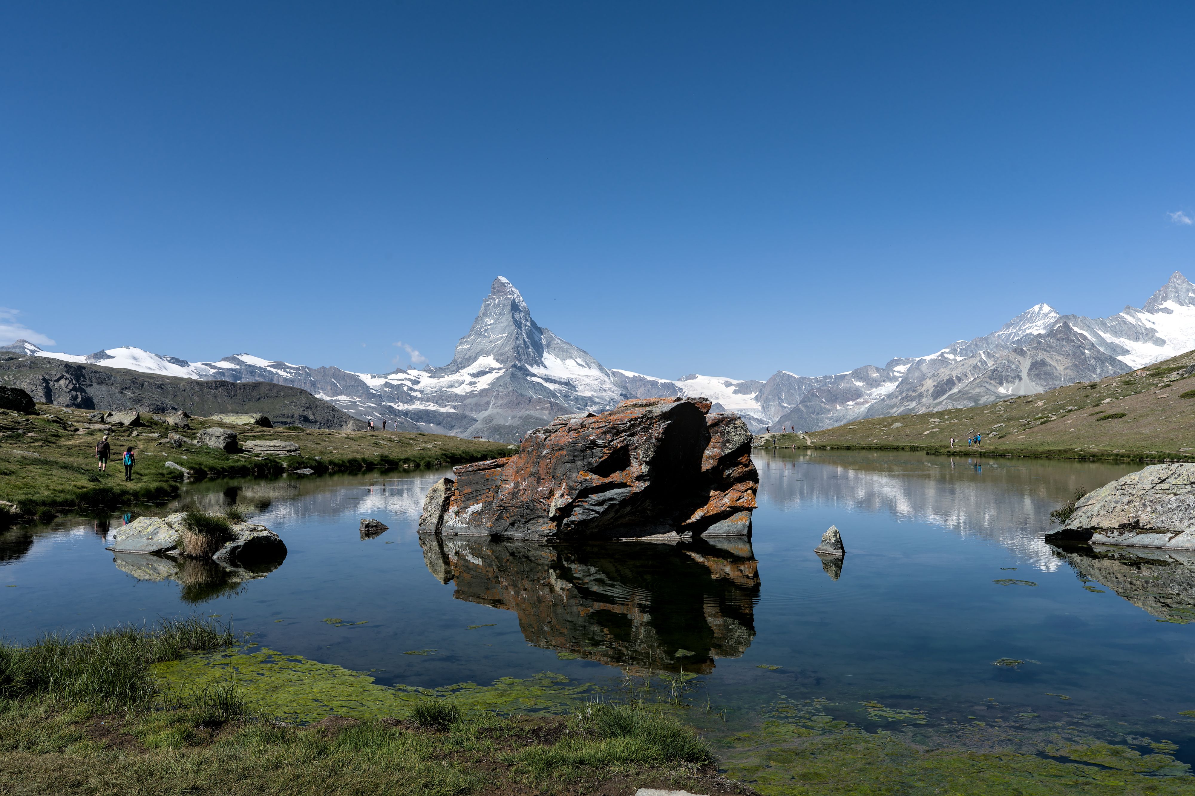
The lake on the Five Lakes Walk that gives the cleanest reflection of the Matterhorn, at 2,537 metres above Sunnegga. The walk that links…
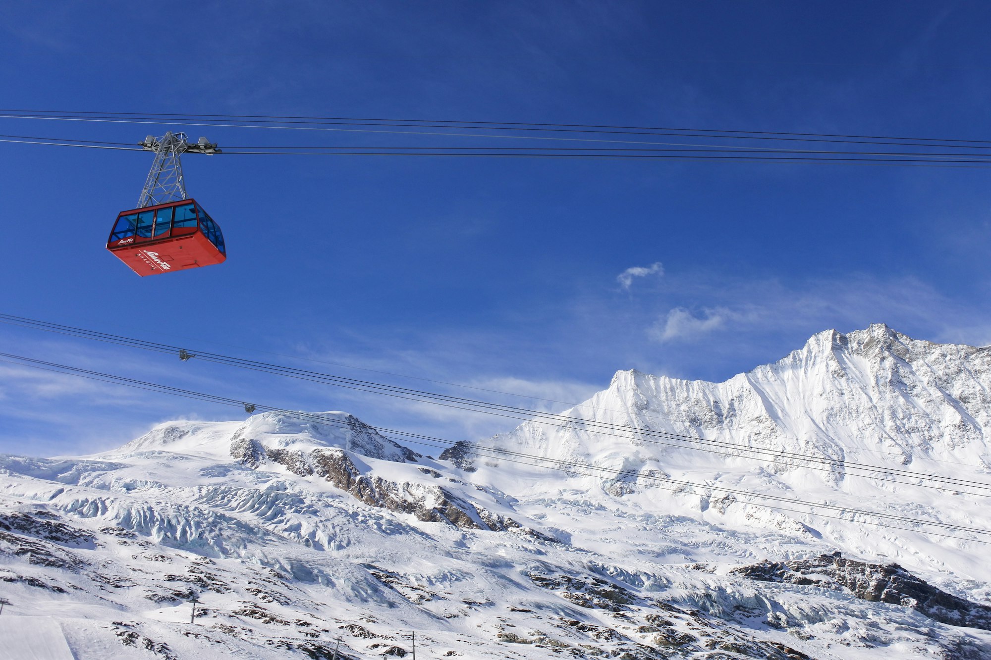
The other car-free village of the Valais, in a bowl with thirteen four-thousand-metre peaks standing around it and a glacier hanging over…
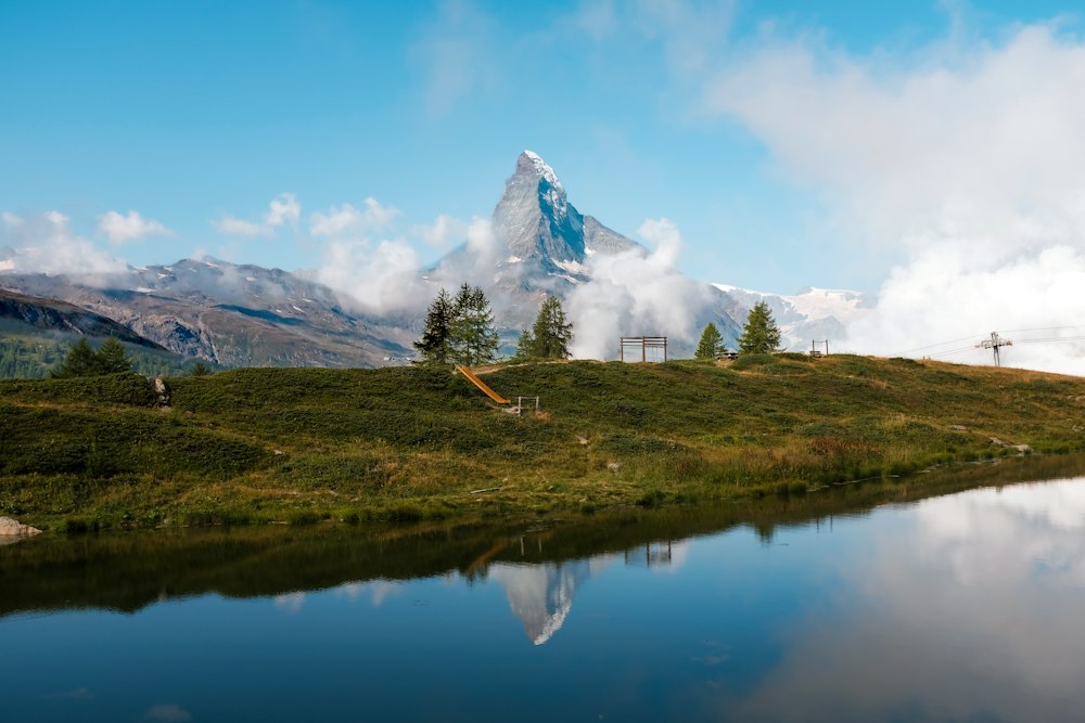
A shallow lake a short walk or a self-service shuttle below Sunnegga, Zermatt's beach, with a bathing beach, a raft, picnic spots and…
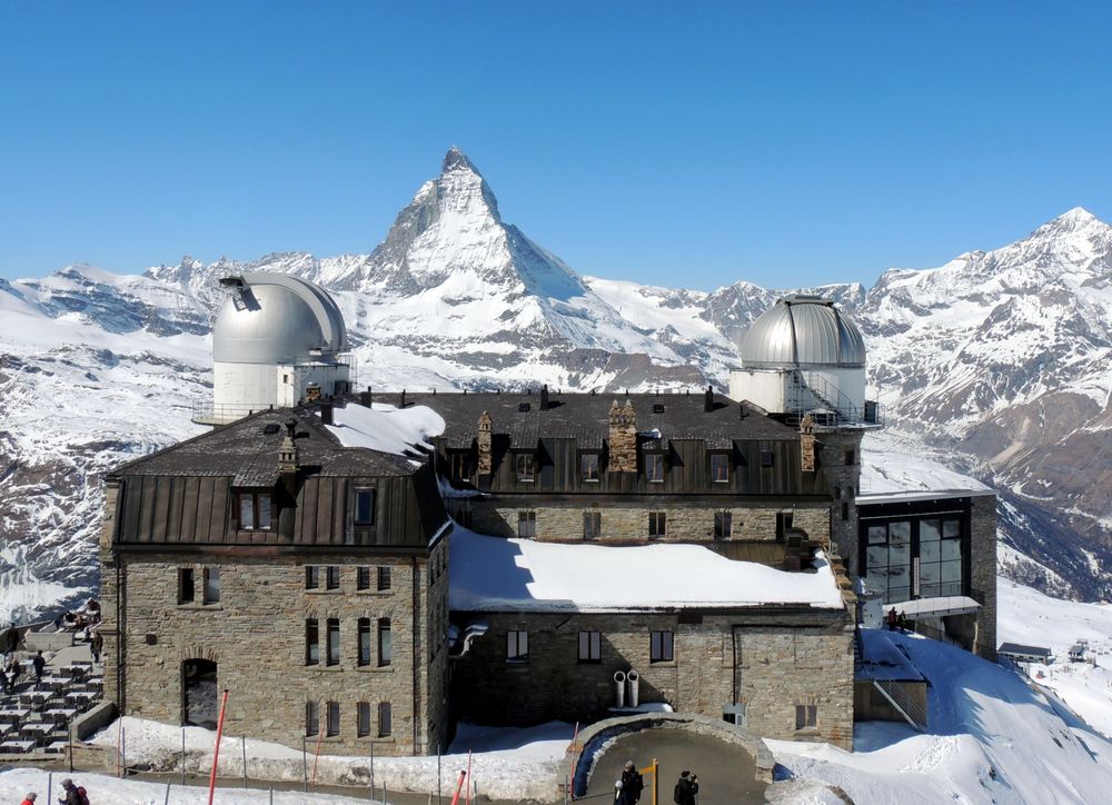
A ridge at 3,089 metres reached by a cogwheel railway that has run since 1898, looking across the Gorner glacier at a wall of twenty-nine…
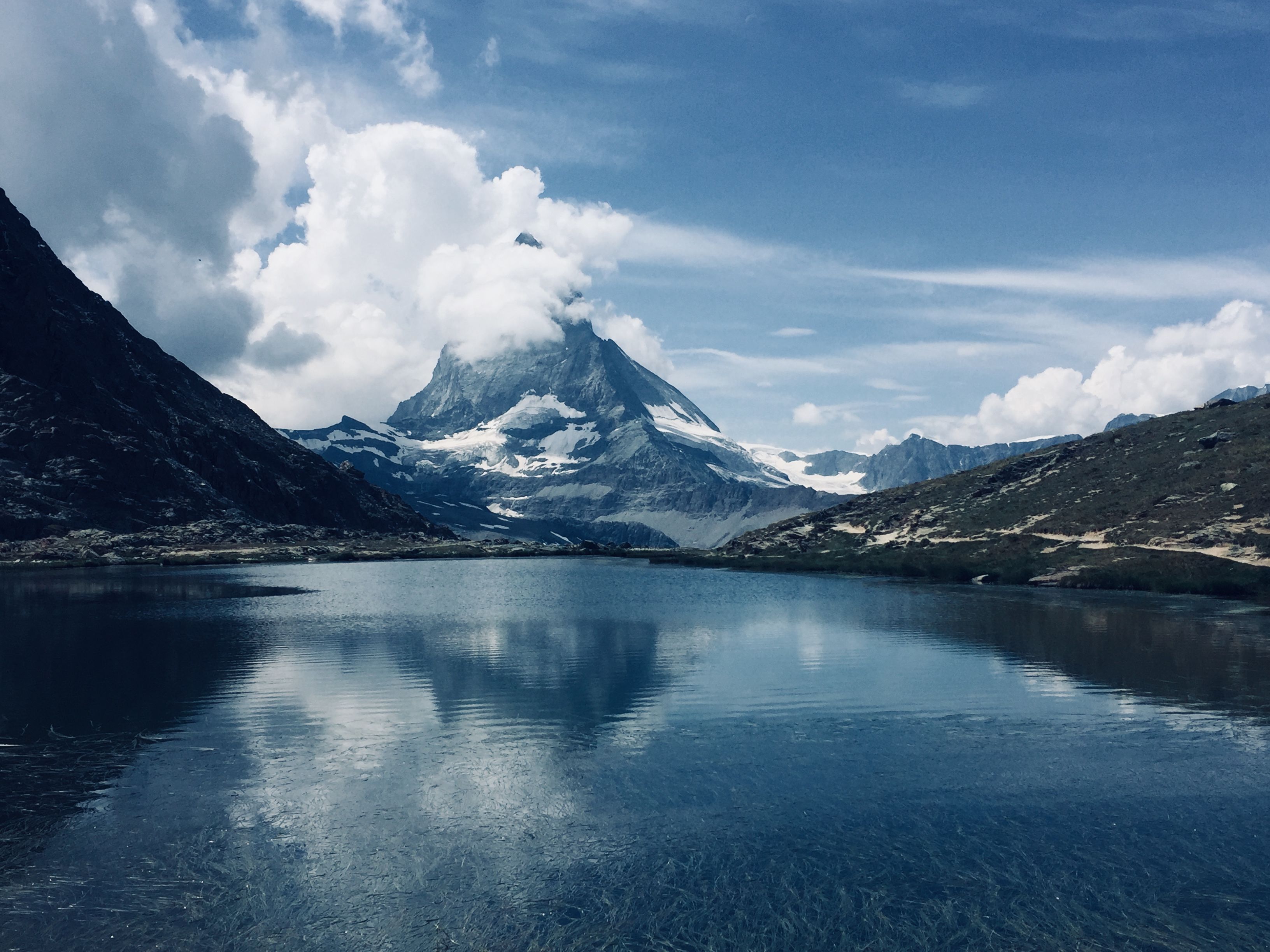
A small tarn five minutes on foot from Rotenboden station on the Gornergrat line, where the Matterhorn lies reflected on the water when the…
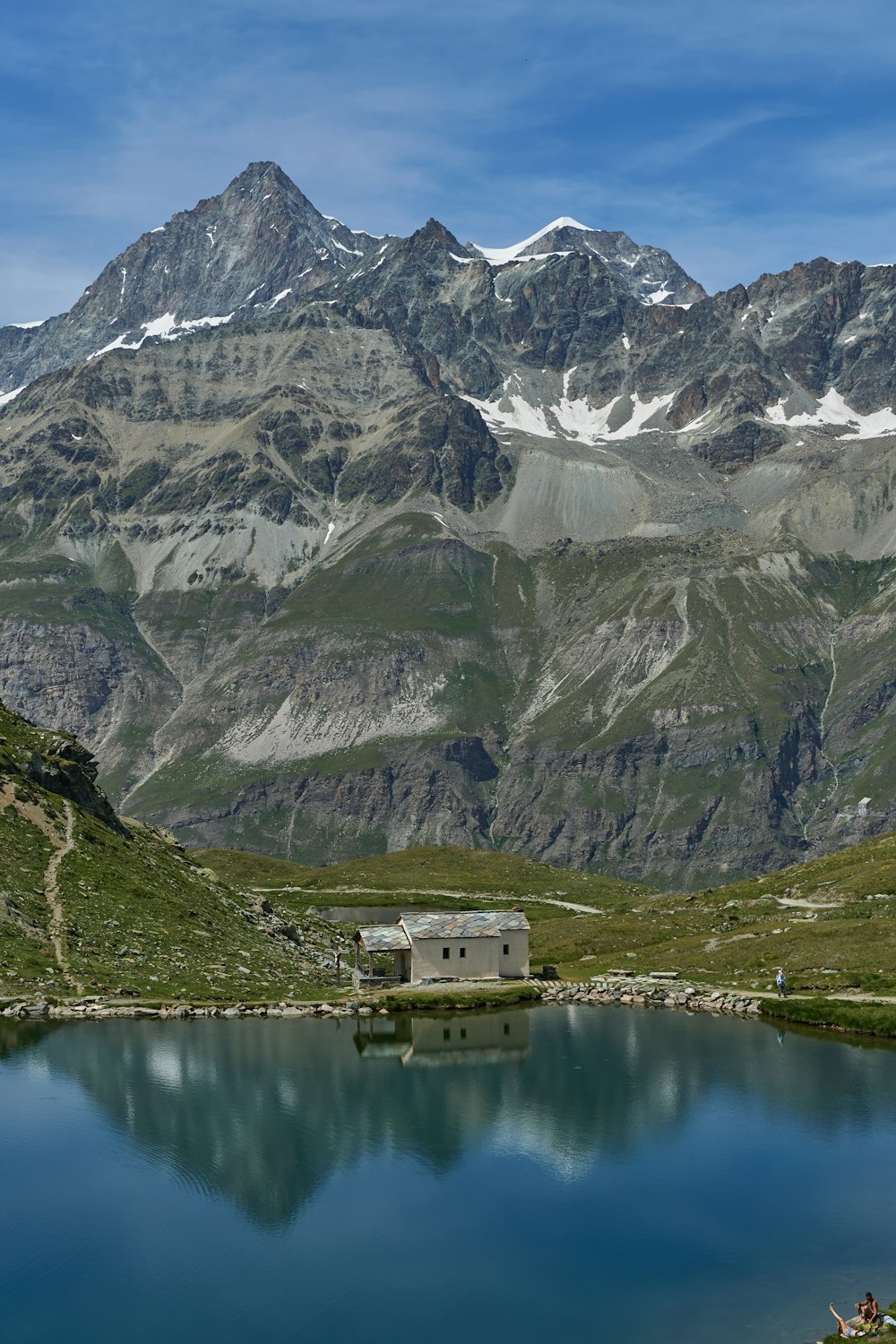
A dark mountain lake with a small white chapel on its shore, sitting right under the Hörnli ridge of the Matterhorn. The cable car from…
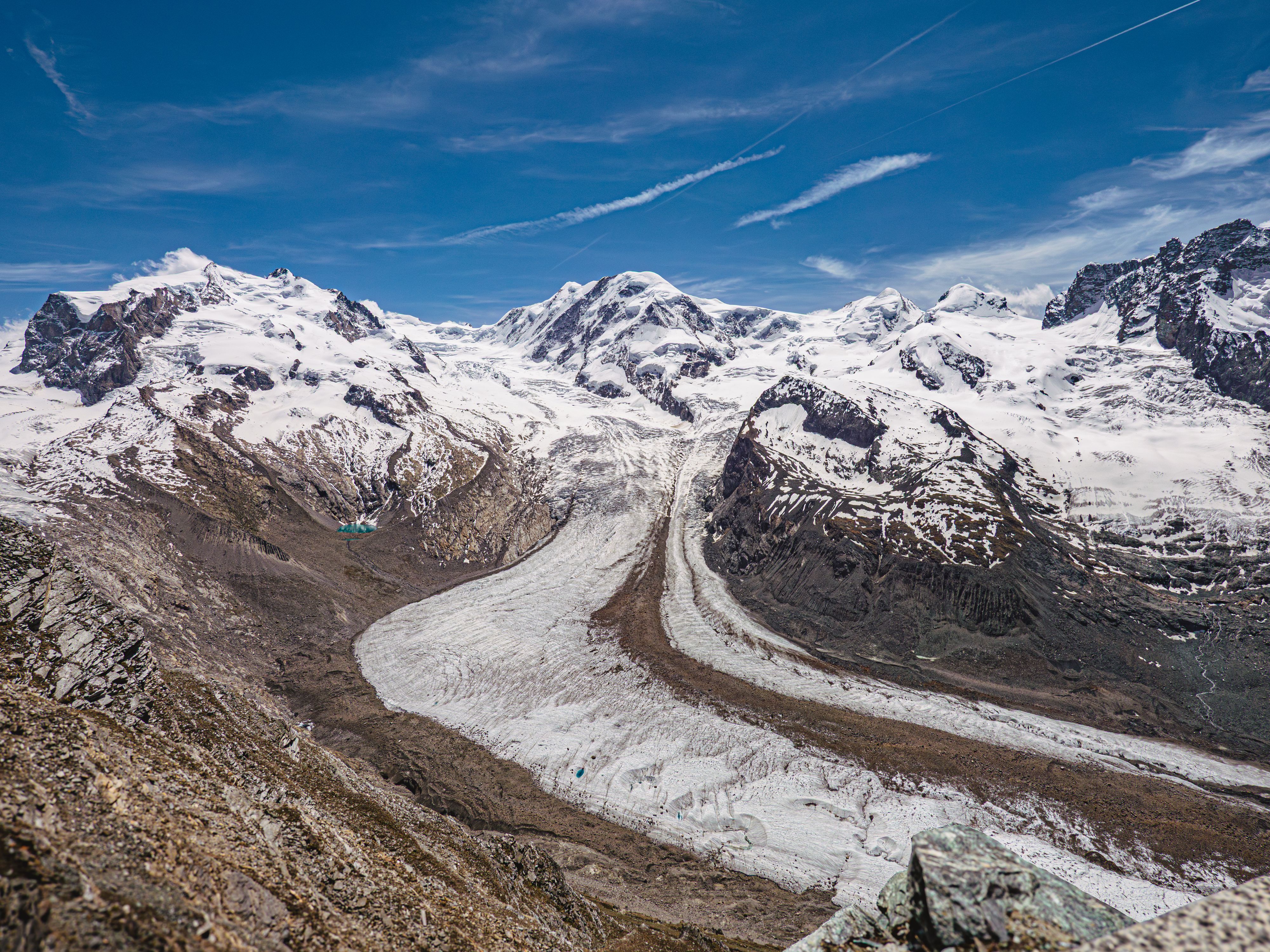
Flowing off Monte Rosa for about twelve kilometres, this is the second largest glacier system in the Alps, and the Gornergrat ridge is the…
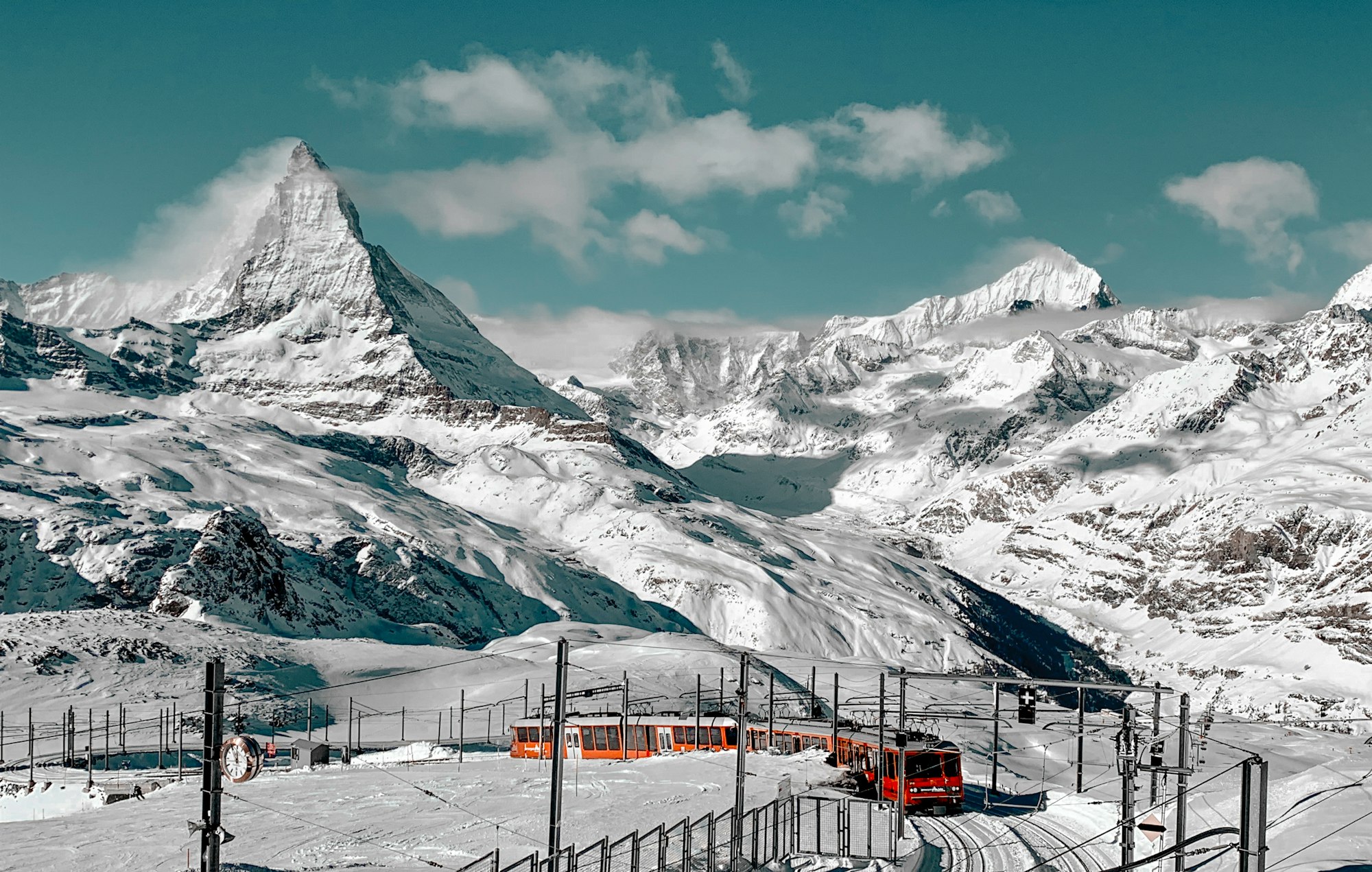
The mountain that put the Alps on a poster, 4,478 metres and standing alone, which is why the shape reads as a single tooth from every…




Save Charles Kuonen Suspension Bridge to your Switzerland trip in the Meridian Dispatch app and build the day around it, with the best of Zermatt pinned on one map.
Download on the App StoreLast updated