Things to do
22-
Breithorn
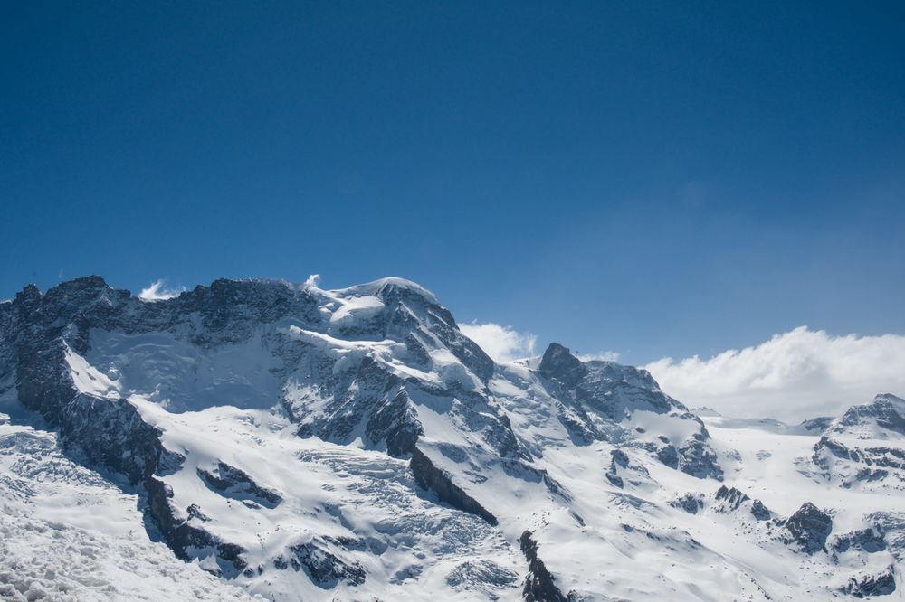
A broad snow dome of 4,164 metres rising above the glacier at Klein Matterhorn, counted among the most accessible four-thousanders in the Alps. Guided parties leave the top lift station and reach the summit in about two to three hours over crevassed ice. It is a roped glacier climb with crampons and a mountain guide. It is not a walk.
-
Charles Kuonen Suspension Bridge
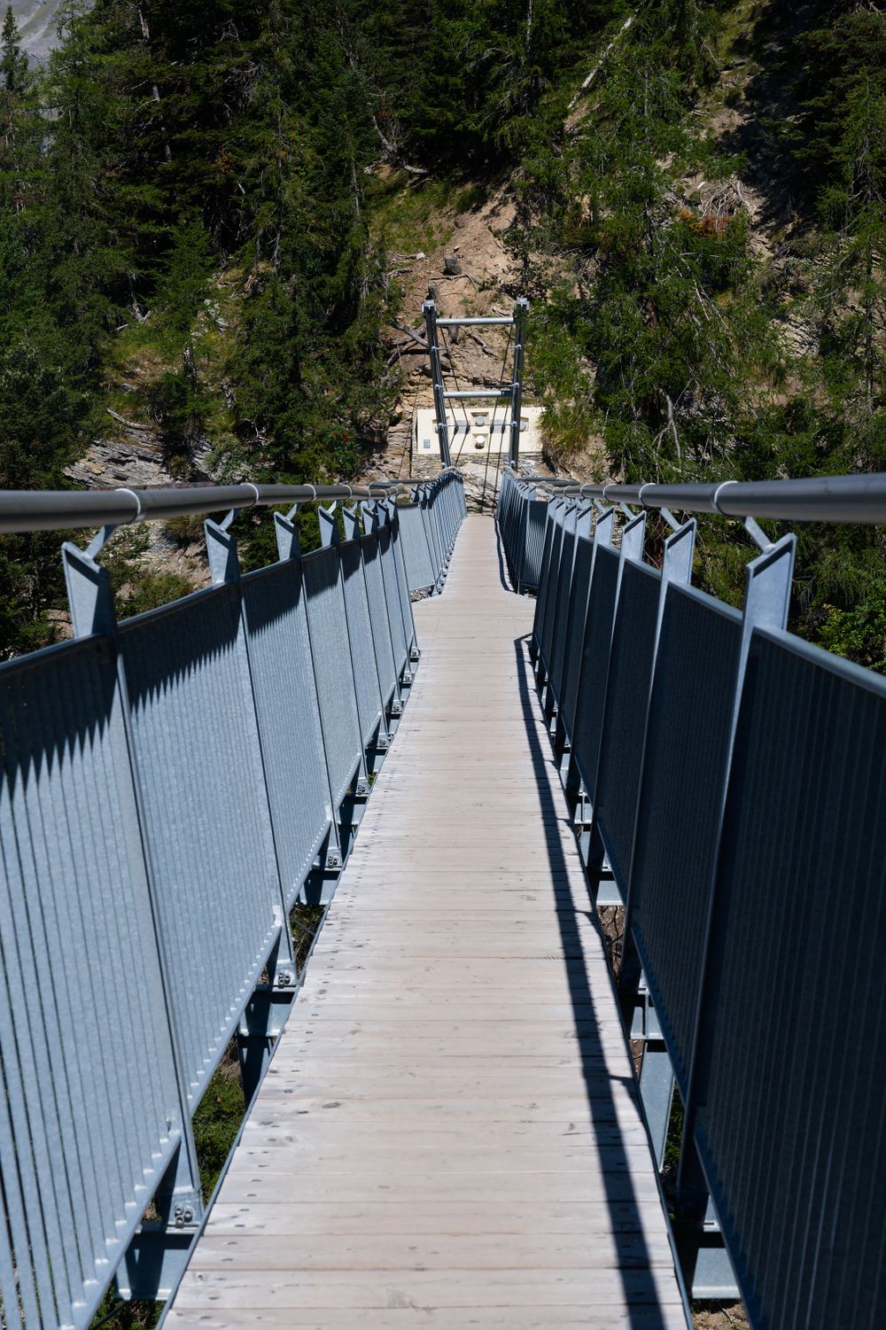
A 494-metre footbridge hung across a ravine above Randa, on the Europaweg trail north of Zermatt, swaying 85 metres over the rocks. Getting there is a steep forest loop of three to four hours from Randa, with close to a kilometre of climb. The walkway is a narrow steel grid, so the drop shows beneath every step.
-
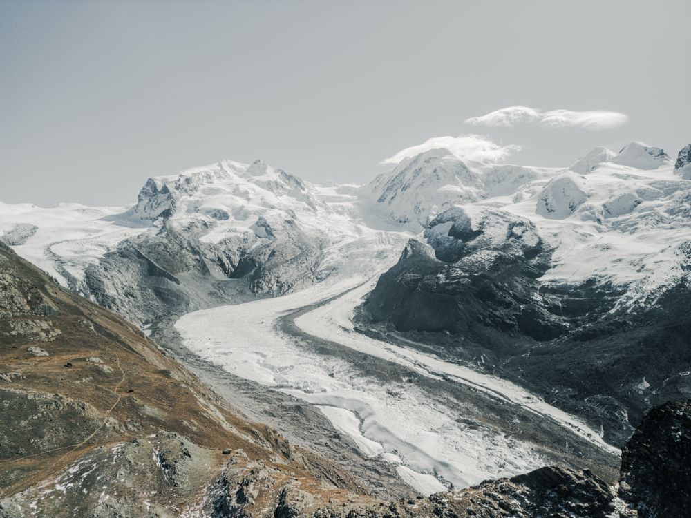
Gorner Glacier
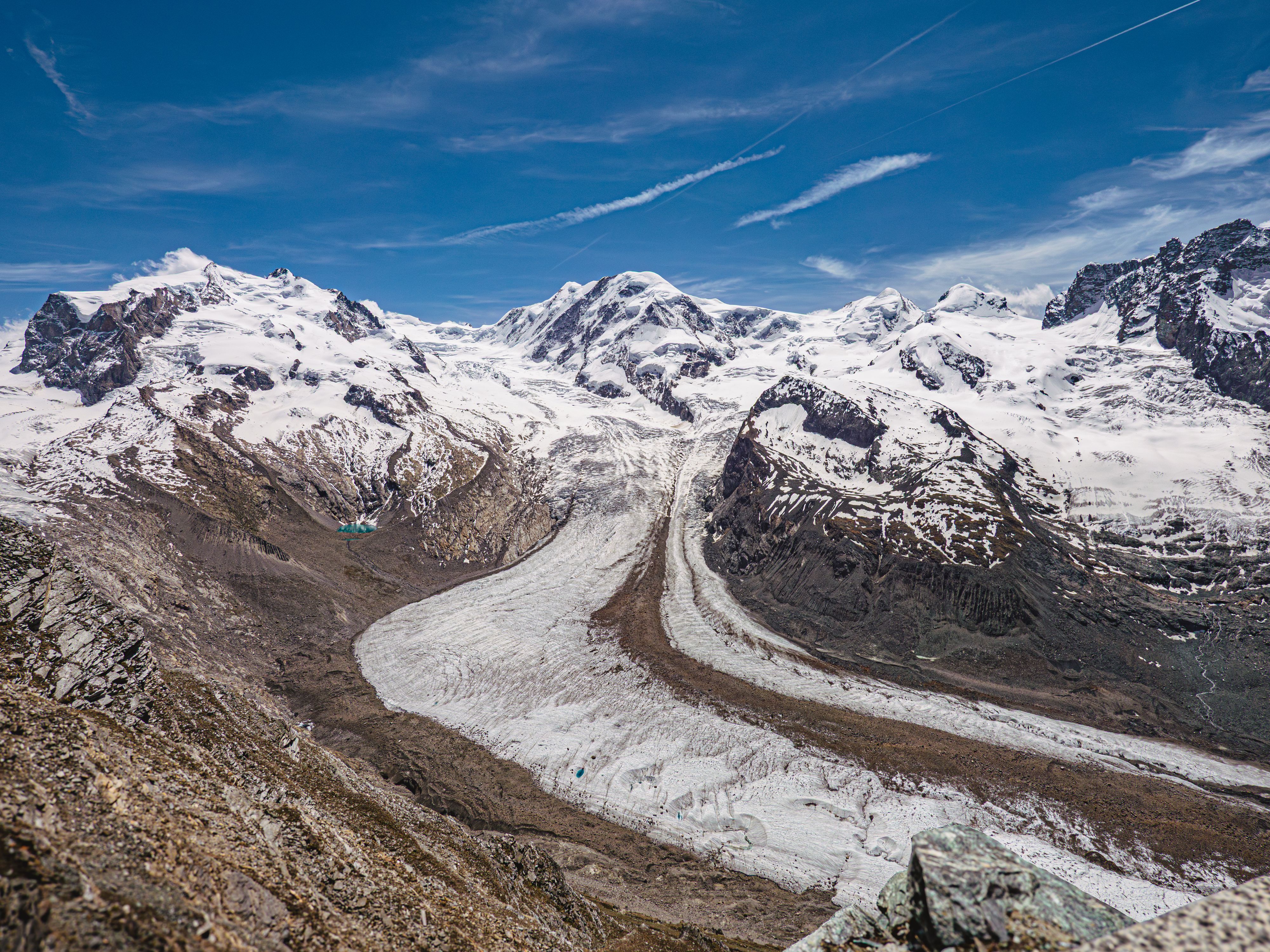
Flowing off Monte Rosa for about twelve kilometres, this is the second largest glacier system in the Alps, and the Gornergrat ridge is the place to see it whole. From the summit station the ice fills the valley below in grey and white folds. Bare, pale rock along its edges shows how much higher the glacier stood within living memory.
-
Gorner Gorge
Wooden walkways bolted to the rock carry a path through a narrow glacial gorge where the meltwater has cut green pools and polished walls. Walking through takes about twenty minutes, and the entrance is half an hour on foot from the centre or a short walk down from Furi. It opens from late spring to mid October and shuts in heavy rain.
-
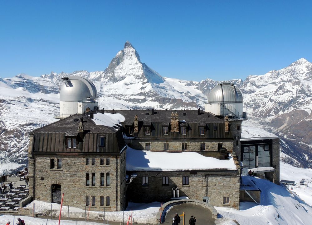
Gornergrat
A ridge at 3,089 metres reached by a cogwheel railway that has run since 1898, looking across the Gorner glacier at a wall of twenty-nine peaks over four thousand metres. The train climbs from the village in thirty-three minutes and the view changes at every stop, so the walk down one section is worth the time it costs.
-
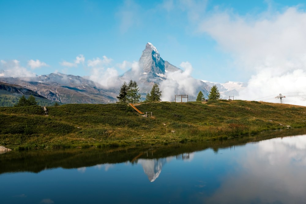
Leisee
A shallow lake a short walk or a free shuttle lift below Sunnegga, with a Matterhorn reflection on calm mornings and water that warms enough for a summer swim. There is a playground, a paddling area and barbecue spots on the shore. It is also the last of the five lakes on the walk down from Blauherd.
-
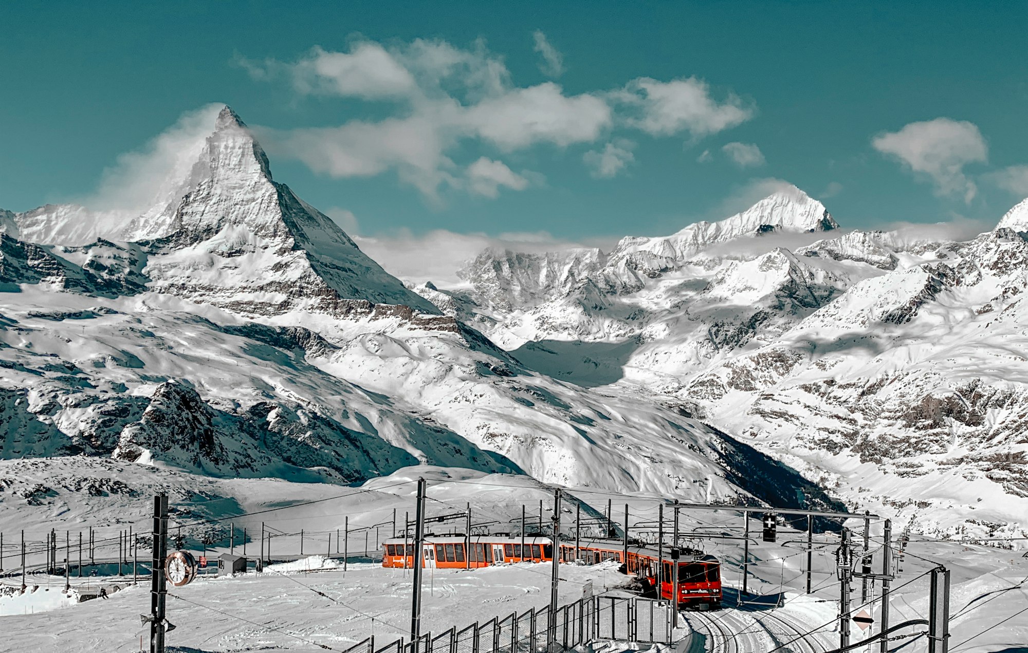
Matterhorn
Take the seven o'clock train to Gornergrat, the first of the day, before the regular service starts. From the top the Matterhorn faces you across the glacier.
View more → -
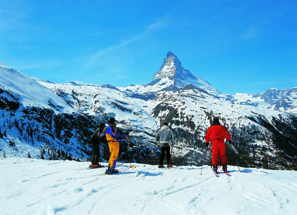
Matterhorn Ski Paradise
On one international pass you can ski from Zermatt over the glacier into Italy, eat lunch in Cervinia and ski home the same day, as long as the wind lets the link open.
View more → -
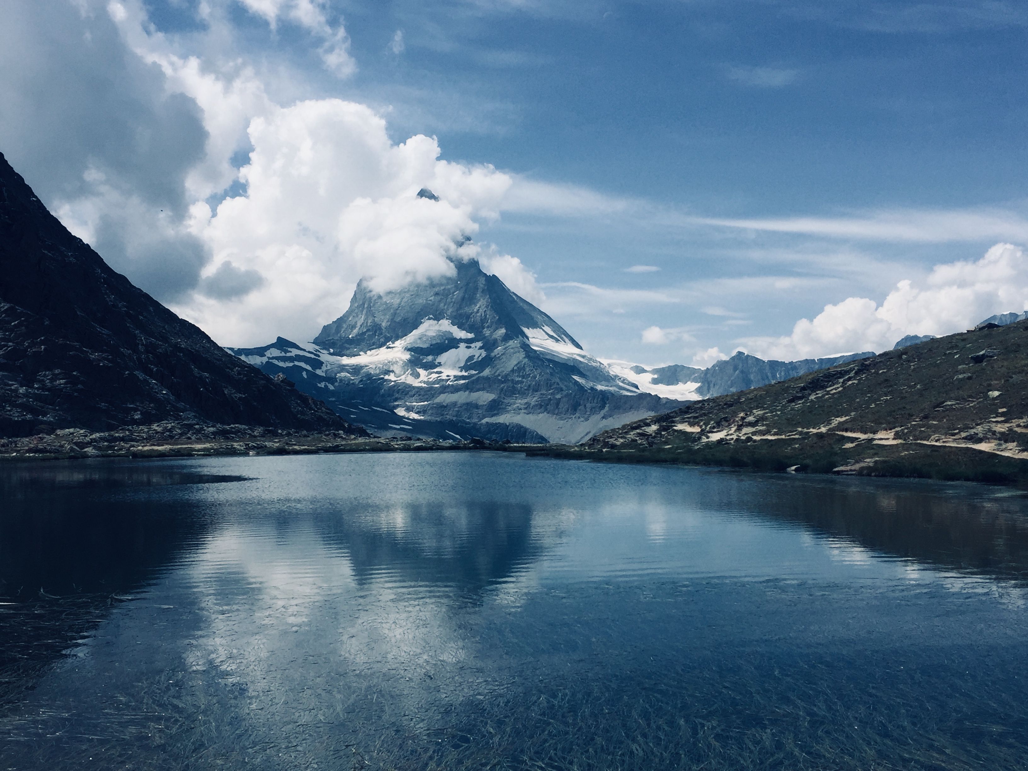
Riffelsee
A small tarn five minutes on foot from Rotenboden station on the Gornergrat line, where the Matterhorn lies reflected on the water when the wind drops. Early morning gives the best chance of a still surface, before the later trains arrive. A second, smaller pool just beyond it is often calmer and much quieter.
-
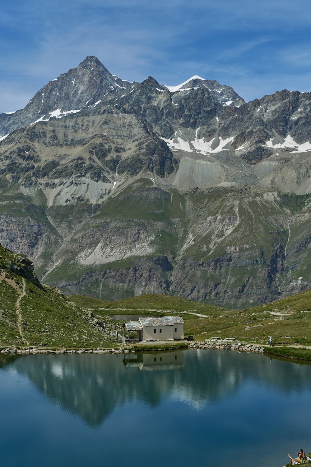
Schwarzsee
A dark mountain lake with a small white chapel on its shore, sitting right under the Hörnli ridge of the Matterhorn. The cable car from Furi stops a few minutes above it, and the Matterhorn Glacier Trail from Trockener Steg ends here. It is also the start of the climb to the Hörnli Hut, so the last car down sets the end of the day.
-
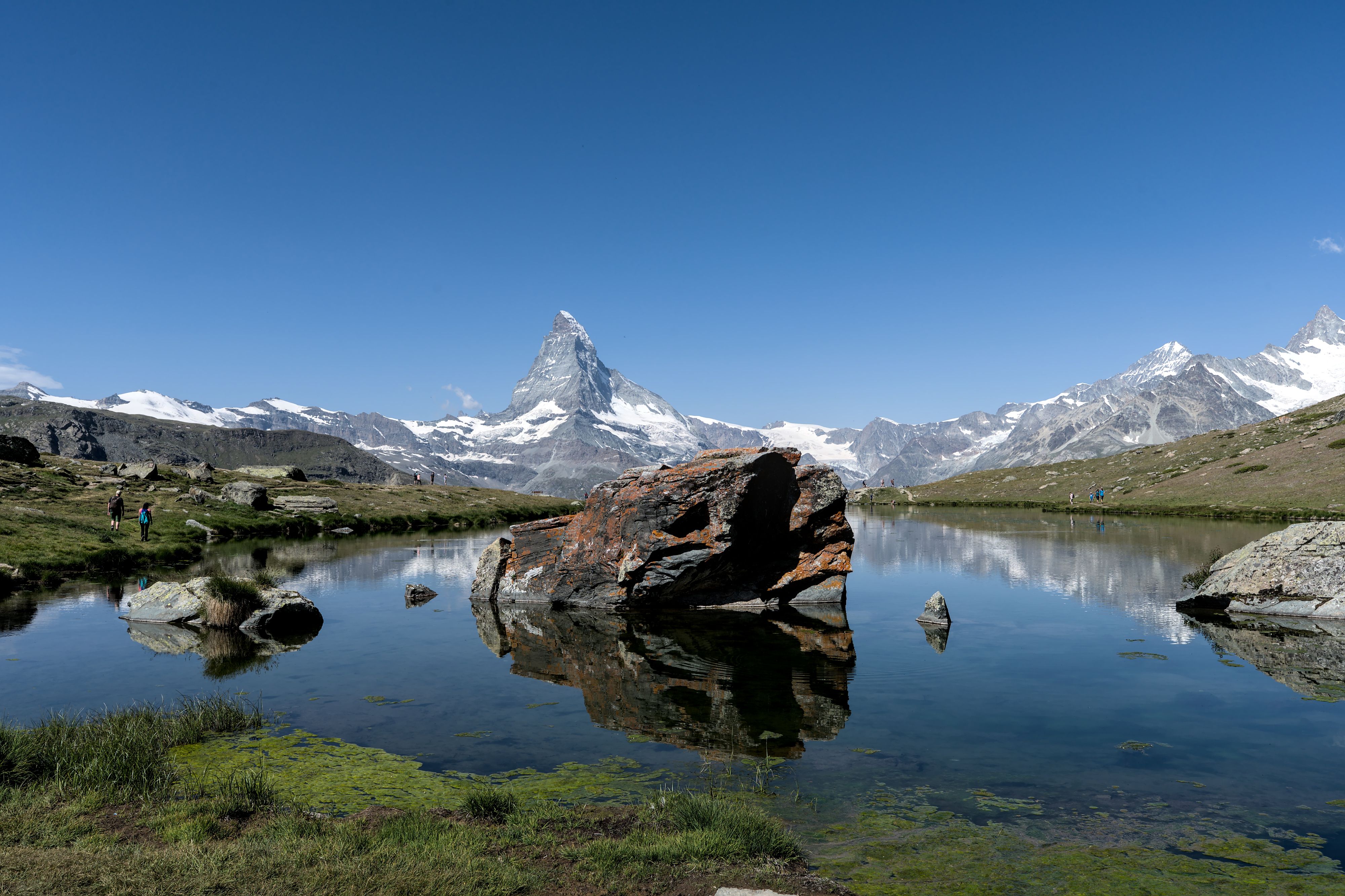
Stellisee
The lake on the Five Lakes Walk that gives the cleanest reflection of the Matterhorn, at 2,537 metres above Sunnegga. The walk that links it to Grindjisee, Grunsee, Moosjisee and Leisee takes about two and a half hours downhill from Blauherd.
-
Village
Findeln
A cluster of old larch barns, chalets and a white chapel on a sunny shelf between Sunnegga and the village, at about 2,050 metres. Paths from the Sunnegga lakes pass straight through it on the way down to Zermatt. Several mountain restaurants sit among the barns, and the Matterhorn stands squarely across the valley from their terraces.
-
Old Town
Hinterdorf
Zermatt's oldest lanes, a few minutes from Bahnhofstrasse, still hold the dark larch barns and granaries that farming families built between the sixteenth and eighteenth centuries. Many stand on wooden stilts capped with flat stone discs, which kept mice out of the grain. Geraniums hang from the windows and the street is at its quietest after dark.
-
Viewpoint
Hörnli Hut
Base camp for climbers on the Matterhorn's Hörnli ridge, standing at 3,260 metres right at the foot of the rock. The path up from Schwarzsee climbs steeply over loose ground, with metal stairs and fixed chains in the upper section. It is a strenuous half day for fit walkers, usually snow-free only from July to September.
-
Bridge
Kirchbrücke
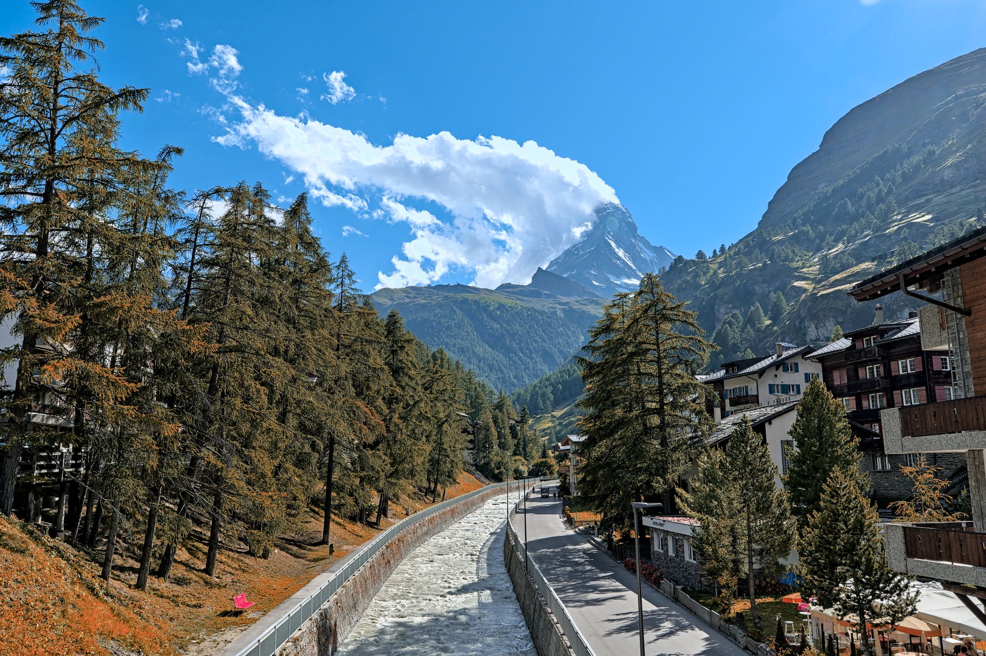
Crossing the Vispa beside the parish church, this footbridge gives the classic village view of the Matterhorn, framed by larches and hotel roofs at the head of the valley. Early light catches the summit first. On summer evenings the peak turns pink, and the river rail fills before sunset.
-
Klein Matterhorn
A cable car from Zermatt climbs via Trockener Steg to a station cut into the summit rock, and a lift and a short stair lead on to a platform at 3,883 metres. Below it the Glacier Palace runs through tunnels in the ice. On a clear morning the view reaches from Mont Blanc deep into Italy.
-
Matterhorn Museum
A reconstructed village built below ground in the middle of Zermatt, telling how a farming community became a resort and how the 1865 first ascent ended. The broken rope from the descent is here, which is the object the whole story turns on.
-
Mont Cervin Palace
The grand hotel of the village, open since 1852 and still the address on Bahnhofstrasse, with a spa, a pool and the horse-drawn carriage that meets the train. It is the Zermatt of the era when the mountain was newly climbed rather than the Zermatt of the ski lifts.
-
Landmark
Mountaineers' Cemetery
Behind the parish church of St Mauritius, a small garden of graves for climbers who died on the peaks around Zermatt, many marked with ice axes and ropes. Names come from across Europe and span more than a century of climbing. It is best seen after the Matterhorn Museum next door, which tells the story behind several of them.
-
Riffelalp Resort 2222m
A five-star hotel at 2,222 metres on the Gornergrat line, reached by a short tram from Riffelalp station in summer and by snowmobile in winter. Its heated outdoor pool, open to guests only, looks straight at the Matterhorn. Staying up here puts the first trains and the Riffelsee walk on the doorstep.
-
Viewpoint
Unterrothorn
Reached from Zermatt by the underground funicular to Sunnegga and two cable cars beyond it, this summit station at 3,103 metres looks across the valley straight at the Matterhorn's east face. It tends to be quieter than Gornergrat. The top lift runs only from late June to early October in summer, plus the winter ski season.
-
Village
Zmutt
Weathered wooden houses and a chapel at 1,936 metres, on the old path west of Zermatt towards the Matterhorn's north face. Walking up from the village takes an hour to ninety minutes, climbing about three hundred metres through larch forest. Coming down from Furi on the cable car side is the easier way in, mostly on a level gravel track.