
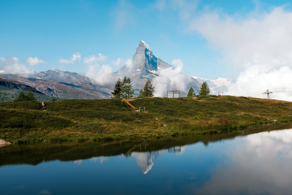
You come to the Riffelsee for one picture: the Matterhorn repeated upside down in still water. On a windless day the peak and its mirror image fill a single frame.
Lake, Zermatt. Meridian Dispatch.
For its reflection of the Matterhorn, one of the best-known photo spots in the Alps. The lake lies at 2,757 metres, close to the Riffelhorn rock peak.
By the Gornergrat Bahn cog railway from Zermatt, leaving the train at Rotenboden, the stop below Gornergrat. A trail runs gently downhill from that station to the shore in about 10 minutes.
When the wind drops and the surface is completely still, usually early in the morning or in the evening. A clear sky also matters, because the Matterhorn can sit in cloud while the water is perfectly calm. With the first train at about 7 AM and the last one down on a seasonal timetable, a day visitor sees the early and late light, not sunrise or sunset.
Trail No. 21, the Riffelseeweg, runs from Rotenboden past the lake to Riffelberg. It covers 2.9 km with a descent of 267 metres and ends at 2,582 metres. Walked uphill the other way, it takes about a quarter of an hour longer.
Yes. Walking on past the Riffelsee, on the paths either side of the main lake, leads to a second, smaller lake that is also worth a photo stop.
The trail past it is a summer route, and in spring the path may not be passable because snow still lies on it. The official sources say nothing about reaching the lake itself in winter. In winter the railway's stations are linked by snowshoe trails and winter paths instead.
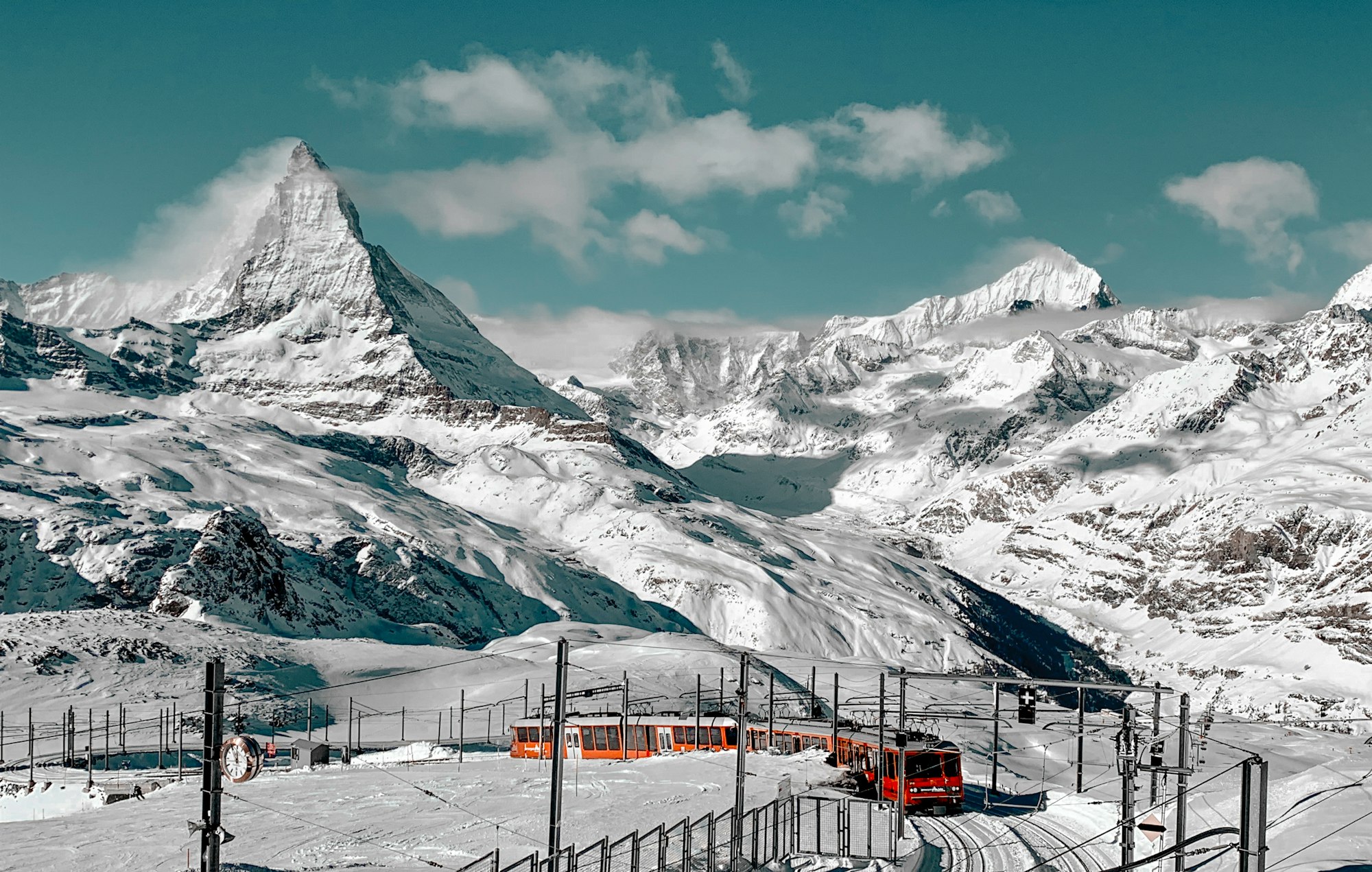
The view is the Matterhorn alone on the skyline under a wide sky, with its whole shape mirrored in the water below. A small rock breaks the surface near the shore, and the landscape around it is bare high-alpine ground.
The path down from the station crosses Europe's highest alpine garden: open meadow and rock at about 2,800 metres, not a laid-out garden. Rare high-alpine plants grow between the rocks and flower only briefly in summer.
Rising beside the lake is the Riffelhorn, a rock peak of 2,927 metres. Its south face carries numerous climbing routes for experts, and climbers turn left off the path before the shore to reach them.
Gornergrat, the top of the line, shows 29 four-thousand-metre peaks from its summit platform, so ride there first. Then take the train back down to Rotenboden. The lake is out of sight from the station and comes into view as the path descends.
After the lake, carry on downhill to Riffelberg, where the trail ends. The train can be boarded at any of the line's in-between stations, so there is no need to climb back to Rotenboden.
Several routes lead to Riffelberg; the westernmost runs via Gagenhaupt, where ibex are sometimes seen. Shortly before Riffelberg the path reaches the Bruder Klaus chapel, whose outline copies the silhouette of the Weisshorn behind it.
Take the higher path round the lake, not the one along the water. It looks back across the lake to the glaciers of the Monte Rosa massif, a view the lower trail does not give.
The last train down runs to a seasonal timetable, so check it before staying late. The first train runs at about 7 AM, so sunrise or sunset at the lake means a night on the mountain.
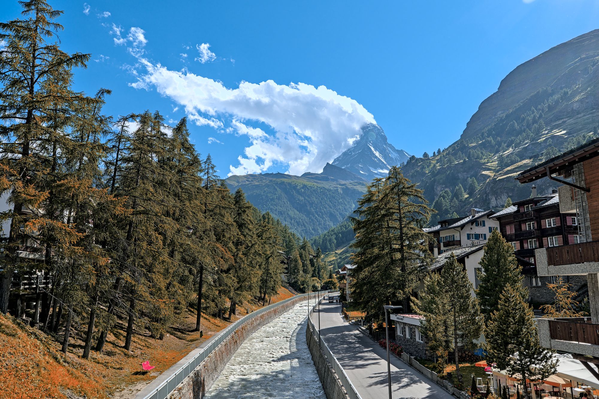
Three lift systems climb out of this car-free village, each to a different side of the Matterhorn. Give each one a morning, and keep a spare day for cloud.
Read the Zermatt guideExplore the rest of Zermatt
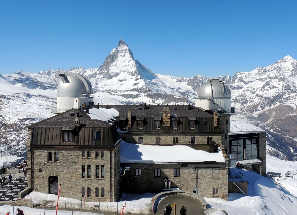
A ridge at 3,089 metres reached by a cogwheel railway that has run since 1898, looking across the Gorner glacier at a wall of twenty-nine…
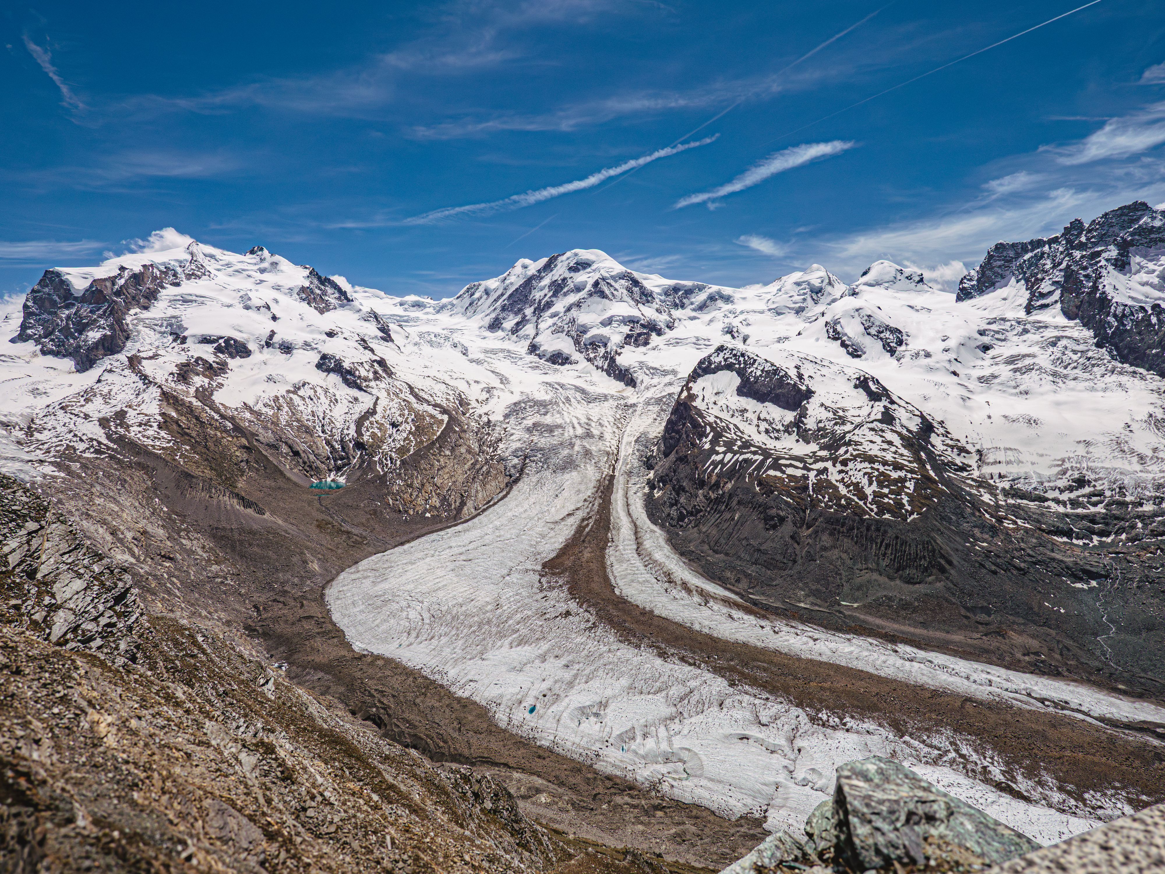
Flowing off Monte Rosa for about twelve kilometres, this is the second largest glacier system in the Alps, and the Gornergrat ridge is the…
A shallow lake a short walk or a self-service shuttle below Sunnegga, Zermatt's beach, with a bathing beach, a raft, picnic spots and…
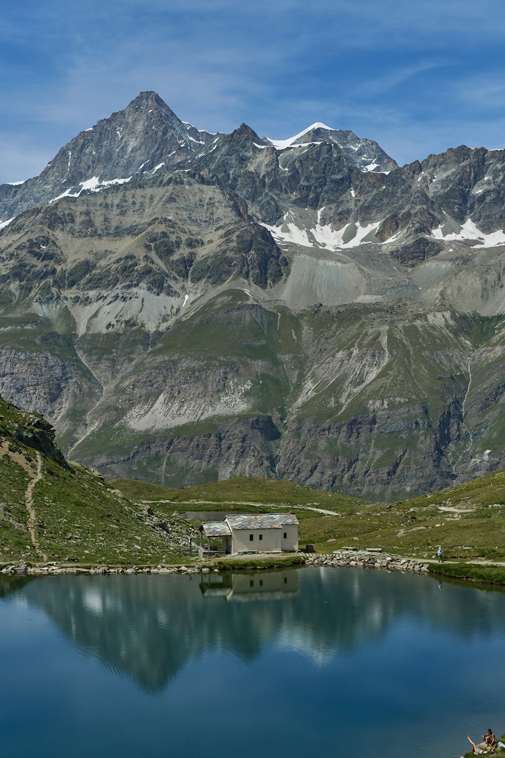
A dark mountain lake with a small white chapel on its shore, sitting right under the Hörnli ridge of the Matterhorn. The cable car from…
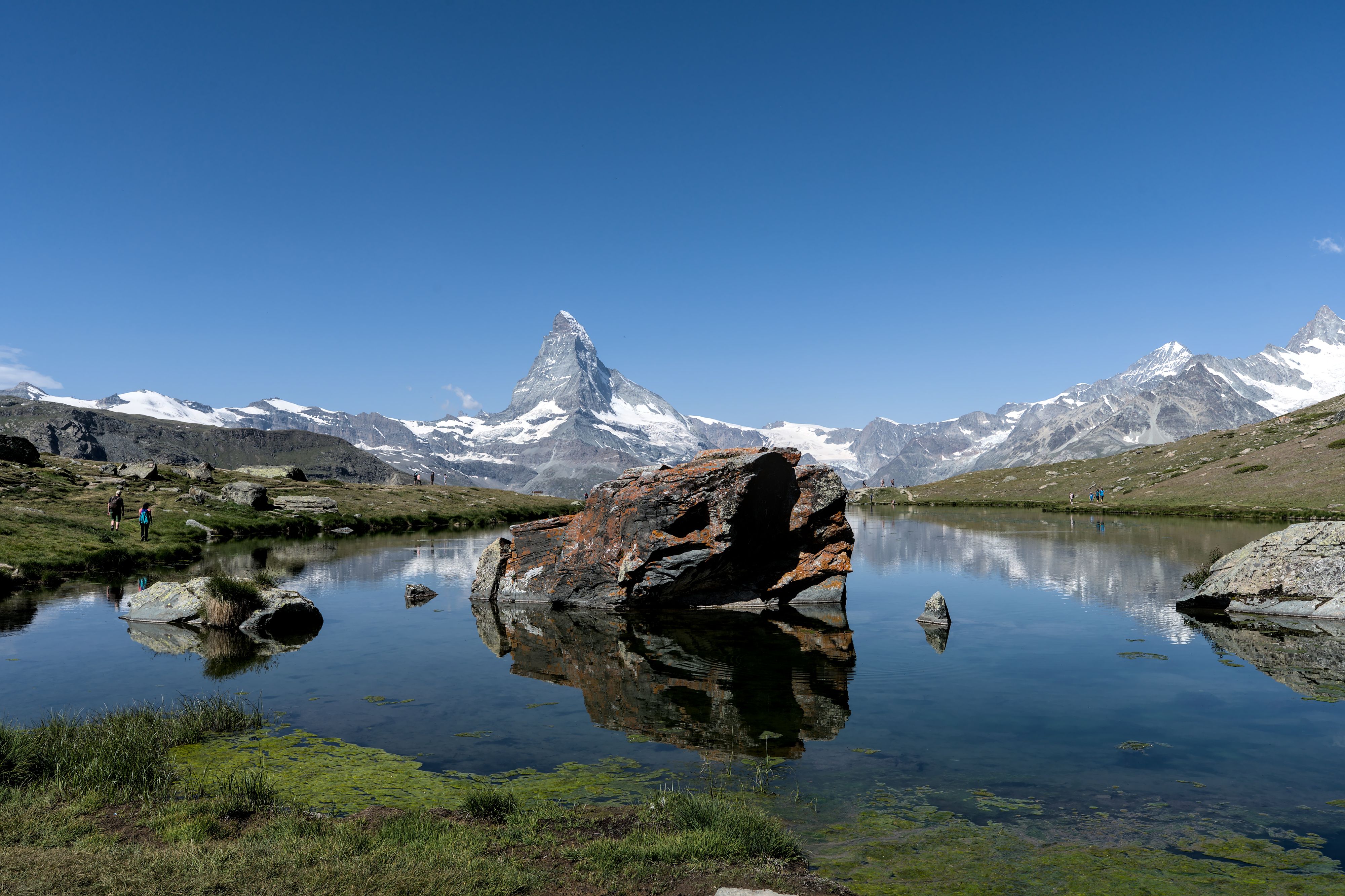
The lake on the Five Lakes Walk that gives the cleanest reflection of the Matterhorn, at 2,537 metres above Sunnegga. The walk that links…
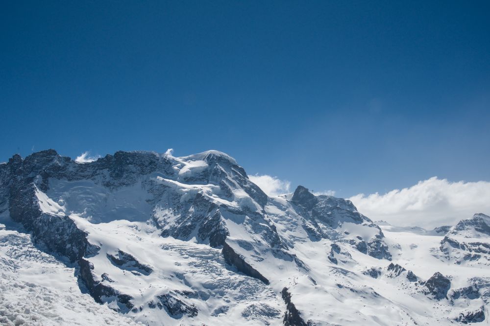
A broad snow dome of 4,164 metres rising above the glacier at Klein Matterhorn, counted among the most accessible four-thousanders in the…
The ski area above Zermatt, climbing from the village through Sunnegga, Gornergrat and the Matterhorn Express to the glacier below Klein…

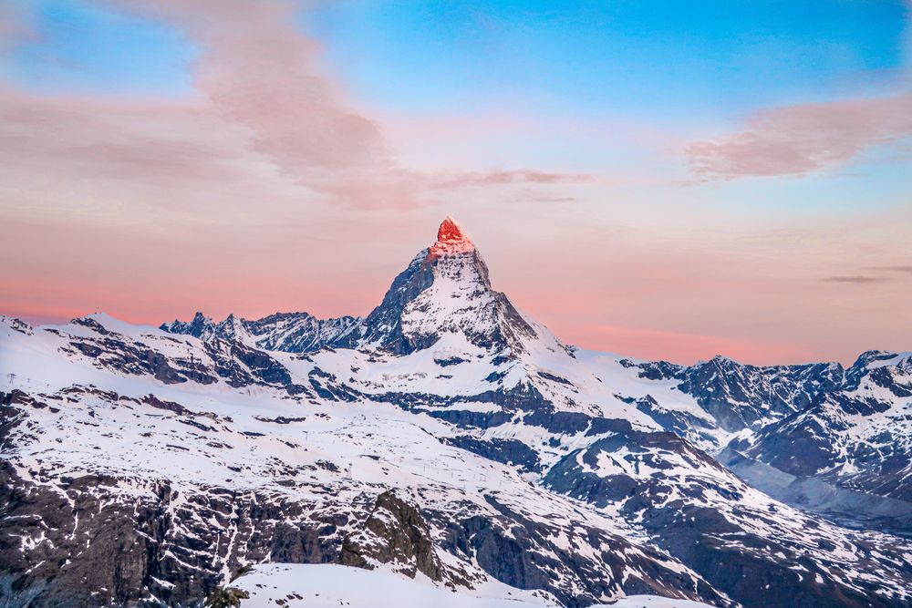
The mountain that put the Alps on a poster, 4,478 metres and standing alone, which is why the shape reads as a single tooth from every…




Save Riffelsee to your Switzerland trip in the Meridian Dispatch app and build the day around it, with the best of Zermatt pinned on one map.
Download on the App StoreLast updated