
Below the Gornergrat, ice from the 4,000 metre summits of Monte Rosa fills the valley for about 12.9 km. You see the third longest glacier in the Alps whole from the railway's top station, and a marked trail from Furi takes you to its tongue.
Viewpoint, Zermatt. Meridian Dispatch.
No. Walkers must stay on the marked paths and not go onto the glacier without a mountain guide, and anyone wanting to get closer to the ice must hire one. The trails that look onto it, such as trail 93 from Furi, are walked alone.
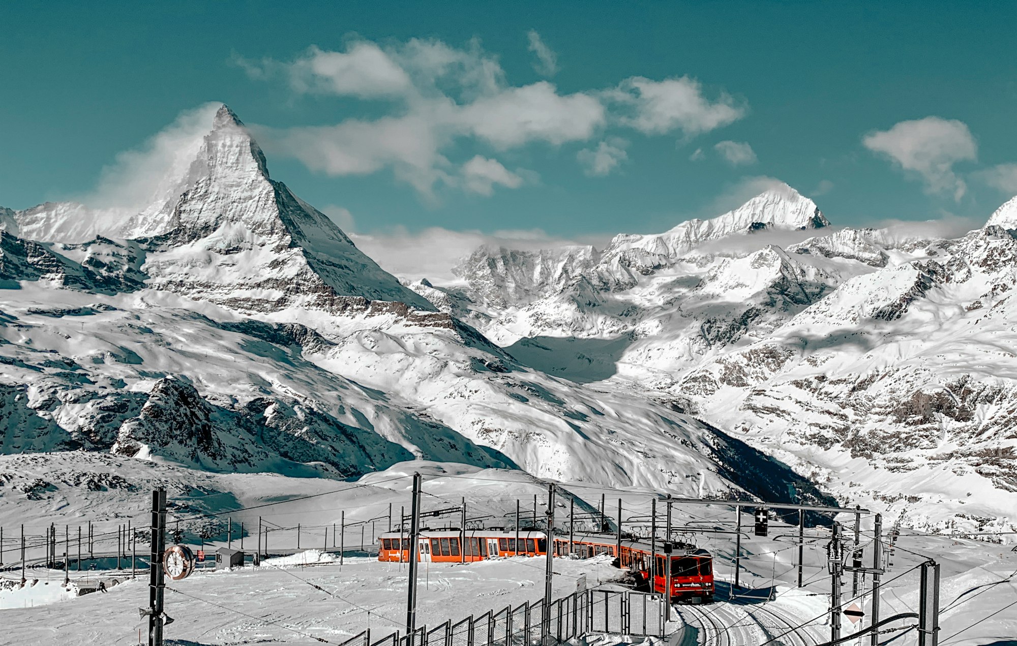
The Gornergrat summit, at the top of the railway from Zermatt, where around seven larger and smaller glaciers are in view at once. For the ice up close, walk trail 93 from Furi.
The lower glacier has pulled back by more than 3,000 metres in the last 150 years. It reached its greatest recent extent between 1859 and 1865, and earlier peaks came in 1667 and 1385.
Summer is the walking season close to the ice, on trail 93 and on the guided crossing to the Monte Rosa Hut. In winter the train still runs, and its stations are linked by winter paths and snowshoe trails.
Not without a guide. The route is rated T4, a difficult alpine hike, and is not suitable for inexperienced hikers. The ways onto the ice and across it change constantly and are often tricky, so the hut gives the latest path conditions.
Yes, alone. The tongue brings sudden water outflows, ice break-offs and hidden ice under debris that can collapse. Getting closer is safe only with a mountain guide from Zermatt.
From the Gornergrat platform the glacier runs below as one long grey and white band, with the Dufourspitze, Nordend, Liskamm, Castor, Pollux and the Breithorn standing over it. The Grenz Glacier, its main tributary, comes down the south side of the Monte Rosa massif; by about 2015 the two no longer touched.
The Monte Rosa, Grenz, Zwillings and Schwarze glaciers all feed this one ice system, the second largest in the Alps. On a low ridge west of the Grenz Glacier sits the Monte Rosa Hut, a glass and aluminium building that marks the far end of the trek across the ice.
On the lower glacier above Furi, the alp of Im Boden was buried by advancing ice in the 19th century. Trail 93 passes the site, and ten boards along the way, in German and English, explain what you are looking at.
Out on the ice you hear it crack, and meltwater cuts channels across the surface, with a cool wind always blowing.
Three ways reach this glacier, each a different day out. The simplest is the view from the Gornergrat summit.
The lower glacier is a marked circular route, theme trail 93, starting at Furi, the first stop of the cable car from Zermatt towards Schwarzsee. Cross the bridge over the Furggbach, then follow the left bank of the Gornera, the glacier's outflow, through debris fields and up a steep climb to the Blatteten viewpoint. Return by the Gletschergarten Dossen and Schweigmatten.
Walking on the ice means the guided trek to the Monte Rosa Hut, from Rotenboden station. A maintained path follows the long lateral moraine to a signpost, then goes straight onto the glacier, flagged and marked in blue and white.
Crampons go on for a gentle climb across the ice, and three moraines follow before the hut. Allow 6 to 7 hours there and back.
On trail 93, pack a picnic: the Gletschergarten Dossen on the way back to Furi has a fire pit and a children's playground. The QR codes on the boards open extra notes, in French and Italian too.
Before setting out for the hut, ask the Monte Rosa Hut for the current path conditions. Back in the village, the Matterhorn Museum, Zermatlantis, has relief models that show every glacier around Zermatt at a glance.
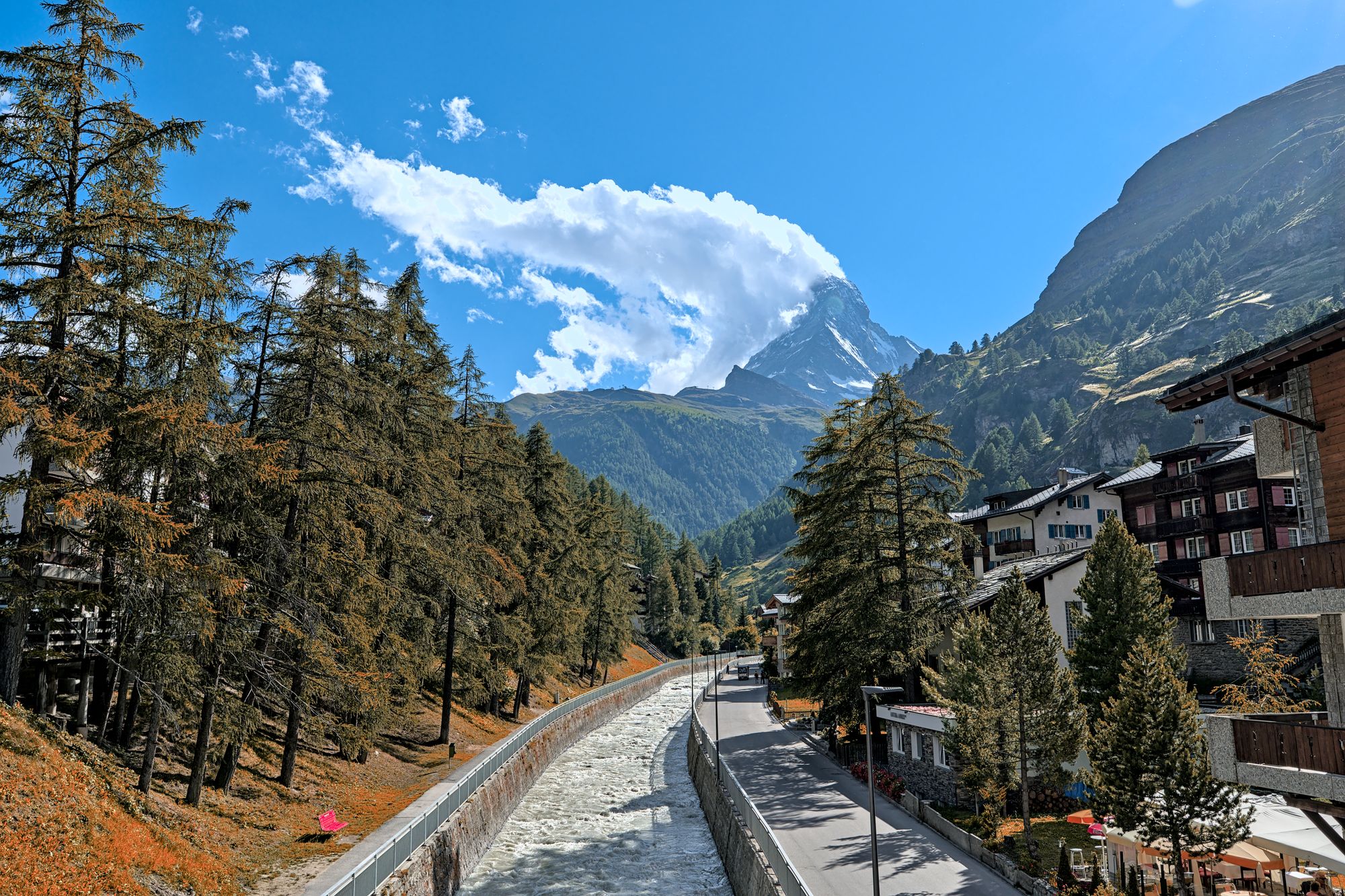
Three lift systems climb out of this car-free village, each to a different side of the Matterhorn. Give each one a morning, and keep a spare day for cloud.
Read the Zermatt guideExplore the rest of Zermatt
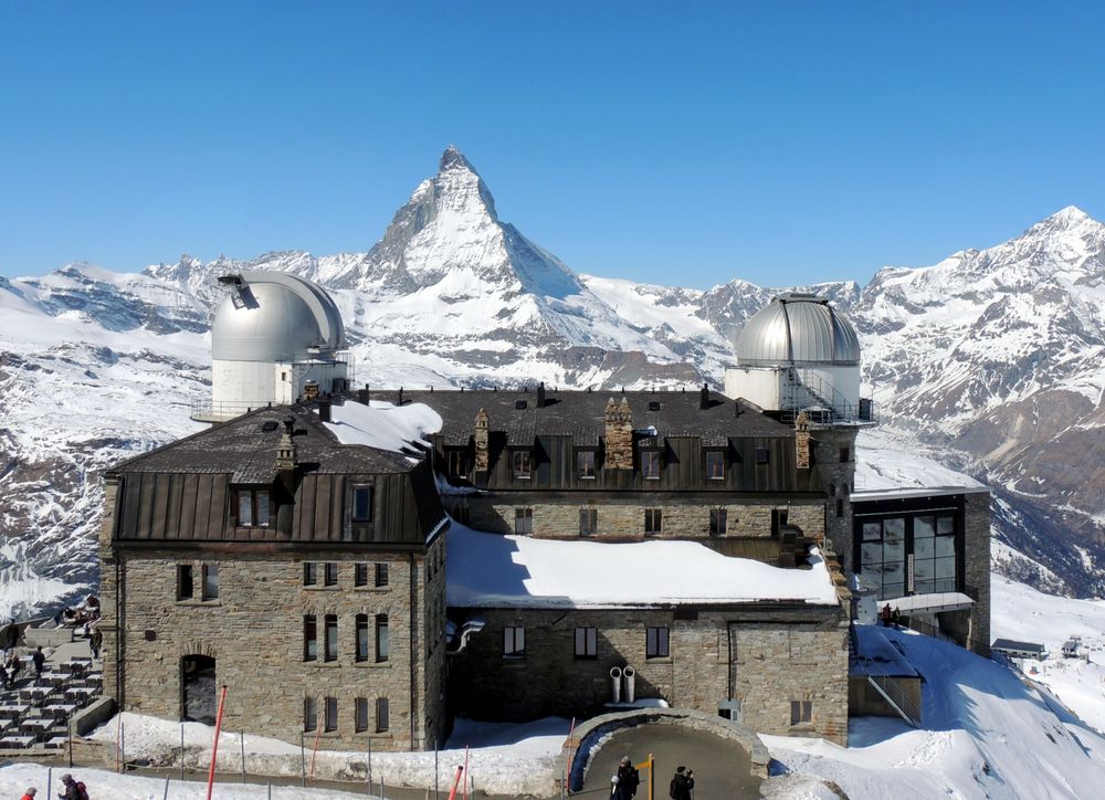
A ridge at 3,089 metres reached by a cogwheel railway that has run since 1898, looking across the Gorner glacier at a wall of twenty-nine…
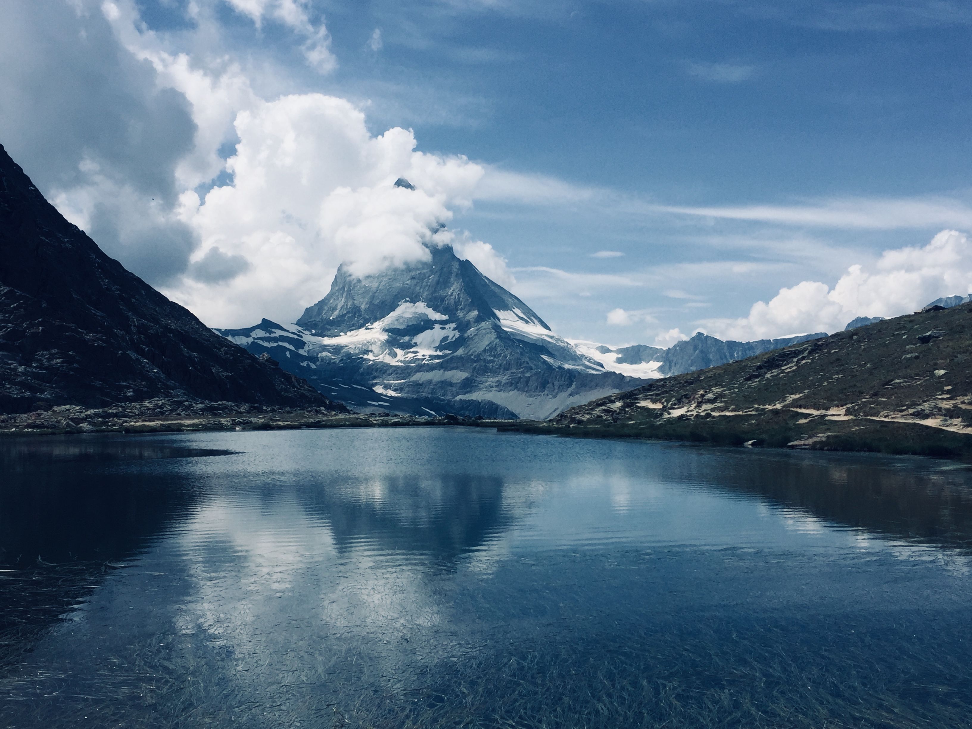
A small tarn five minutes on foot from Rotenboden station on the Gornergrat line, where the Matterhorn lies reflected on the water when the…
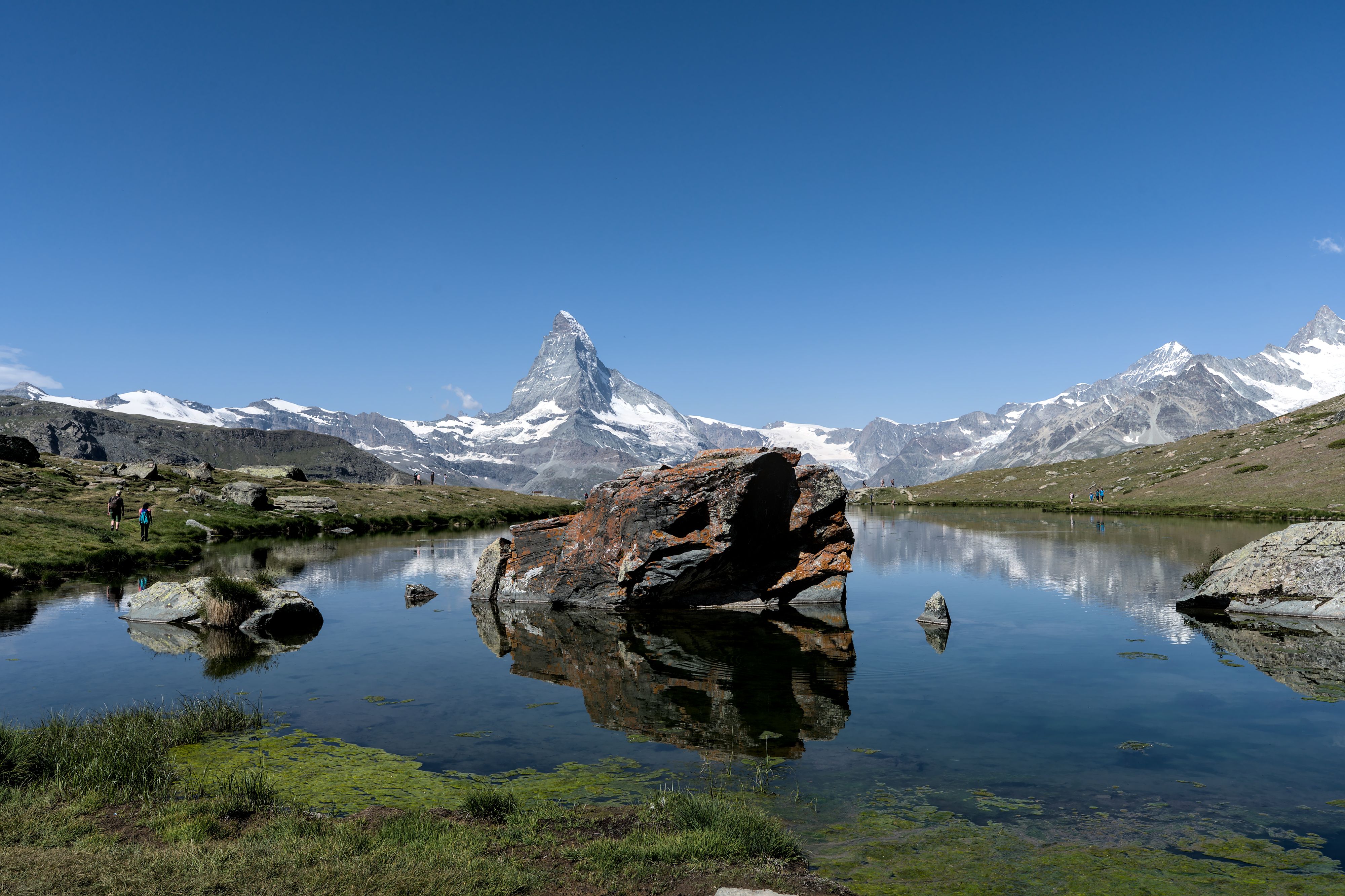
The lake on the Five Lakes Walk that gives the cleanest reflection of the Matterhorn, at 2,537 metres above Sunnegga. The walk that links…
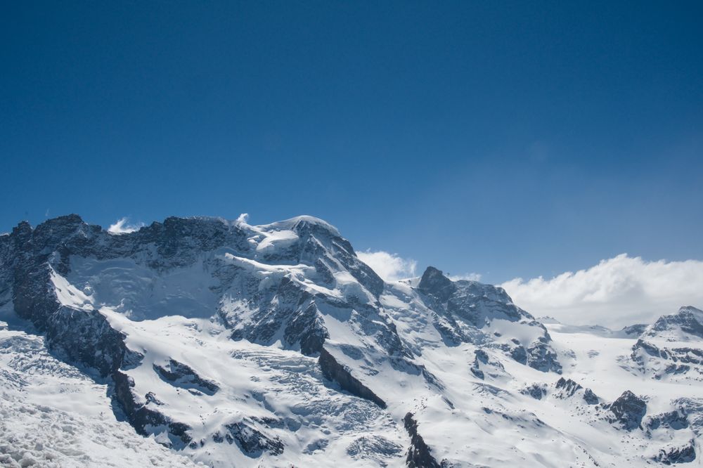
A broad snow dome of 4,164 metres rising above the glacier at Klein Matterhorn, counted among the most accessible four-thousanders in the…
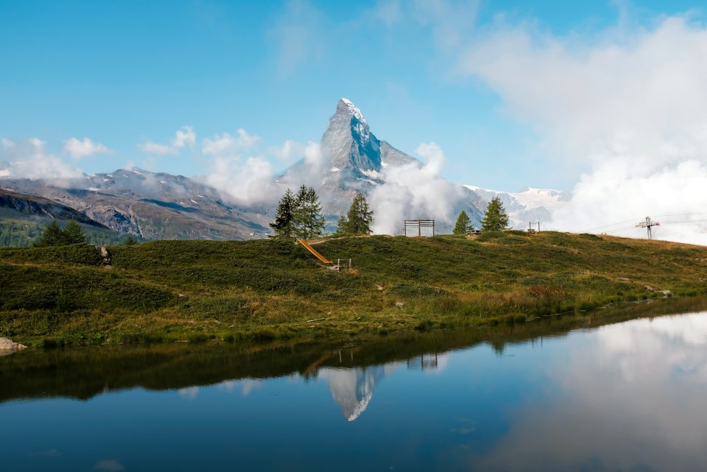
A shallow lake a short walk or a self-service shuttle below Sunnegga, Zermatt's beach, with a bathing beach, a raft, picnic spots and…
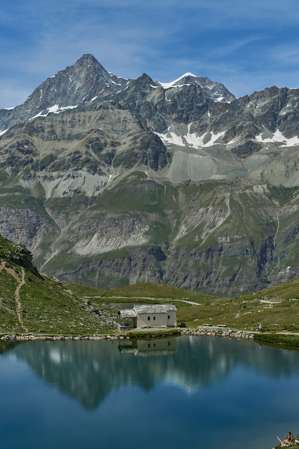
A dark mountain lake with a small white chapel on its shore, sitting right under the Hörnli ridge of the Matterhorn. The cable car from…
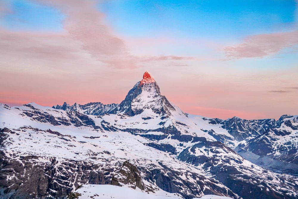
The ski area above Zermatt, climbing from the village through Sunnegga, Gornergrat and the Matterhorn Express to the glacier below Klein…

The mountain that put the Alps on a poster, 4,478 metres and standing alone, which is why the shape reads as a single tooth from every…




Save Gorner Glacier to your Switzerland trip in the Meridian Dispatch app and build the day around it, with the best of Zermatt pinned on one map.
Download on the App StoreThe official pages this guide was checked against.
Last updated