 Submit a photo
Ninety seconds on Parque nacional Alerce Andino
The park is open daily, but most of its trails are shut. As of 2026 the gates open from 09:00 to 17:00, with last entry at 15:00, and the times or days can change with the weather or for safety. The Laguna Sargazo, Laguna Fría, Catedral de Alerce, Rodal de Alerce, Laguna Triángulo and Laguna Chaiquenes trails are closed until further notice.
Online, on the Pases Parques portal that sells entry to Chile's national parks and reserves. The same site carries the current hours and conditions, which change often here. A group mixing Chilean and foreign visitors picks each kind of ticket in a separate step, adding both to one cart before paying.
By car, or by bus as far as the villages at its edge. For Sargazo, turn left before the Chamiza bridge towards Correntoso, then follow 20 km of paved road and 10 km of gravel. The southern Chaicas side, reached through Lenca, is a track passable only for four-wheel-drive vehicles. Buses Fierro run to Correntoso village, and Buses JB leave daily for Correntoso and Lago Chapo.
Chaicas or Correntoso, because Sargazo's lake path remains shut. Chaicas has the river walk ending at a waterfall beside an alerce close to 3,000 years old. Correntoso has a viewpoint walk and food for sale. Sargazo and Chaicas both have picnic areas, and food is also sold at Lenca and Metri.
Some are more than 3,000 years old. Alerce is among the longest-lived tree species on the planet. Here it grows across nearly 20,000 hectares, mostly above about 400 metres.
You can see alerce, among the longest-lived trees on Earth, about an hour from Puerto Montt, on a riverside walk at Chaicas to a waterfall and a millennial tree. The boardwalk to the lake at Sargazo is closed for now.
Alerce grows to about 60 metres and lives for several thousand years. Its wood resists both water and insects, so it was the prized timber for building and boats in southern Chile. Heavy logging left the tree endangered until it was declared a national monument in the 1970s.
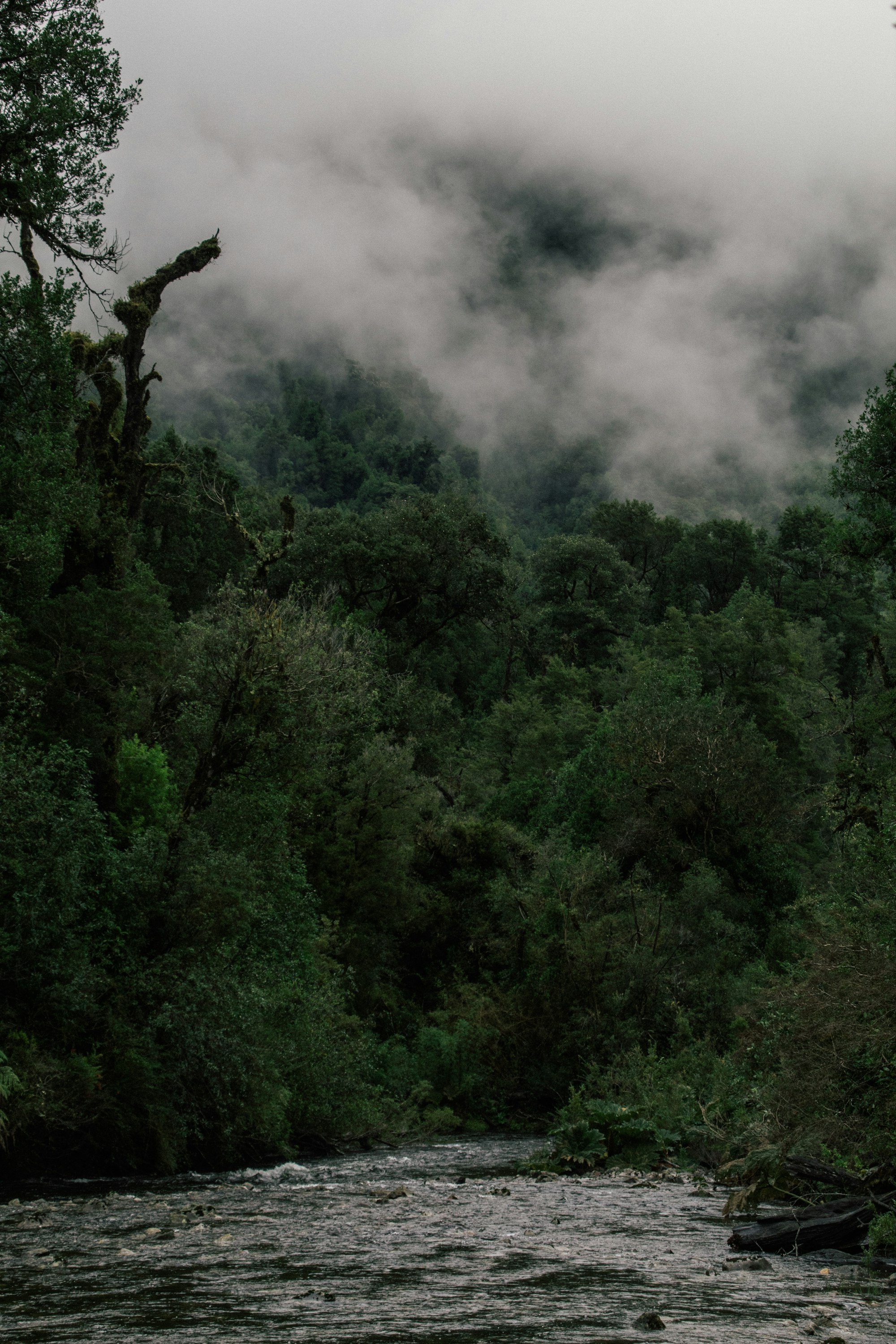
This park has the greatest concentration of alerce forest in the Lake District. Alerce covers close to 20,000 hectares, almost half the park, and grows best above about 400 metres, mixed with coigüe, tineo, mañío and canelo. Lower down, the evergreen forest of ulmo, coigüe and tepa is thick with climbing vines, ferns and quila cane.
The forest escaped the ice that covered the region 12,000 years ago, and one in three of its species grows nowhere else. Watch for the pudú, a tiny deer, and the Magellanic woodpecker, black with a scarlet cap. The monito del monte, a small marsupial counted as a living fossil, lives here too.
The boardwalks are there for the trees as much as for you. They keep boots from packing down the soil over the roots of trees that have stood for millennia, so stay on them.
While the Sargazo lake trail is closed, aim for the Chaicas gate and the oldest tree you can reach. When it reopens, the lake trail at Sargazo runs on boardwalk and over a hanging bridge through forest that is mostly alerce, to Laguna Sargazo, with a viewpoint on the way. The short Los Ulmos loop from the same car park is the one for birds.
The Sargazo millennial alerce, put at about 2,500 years, is on the Laguna Fría route, closed for now; ask the ranger whether its first stretch is open.
At Chaicas, the Salto Río Chaica y Alerce Milenario trail follows the river to a waterfall reached by steps, beside an alerce of nearly 3,000 years. El Encanto and Los Canelos are two short walks from the car park.
Correntoso, the first of the three gates and on the road to Sargazo, is the free sector, with the Huillifoten walk up to viewpoints over the Chamiza valley and a picnic ground by a deep river pool.
Pack waterproofs, warm layers and boots that can take mud, because rain can come even in summer and the forest floor stays wet. Bring your own food and water: the nearest shops are in Correntoso and Lenca, and there are picnic tables at Sargazo and Chaicas.
Before any walk longer than the short loops by the car parks, give the ranger your route and the time you expect to be back. Leave the drone at home, since flying one inside the park needs CONAF's permission.
Save time for the Museo Histórico de Puerto Montt Juan Pablo II for a look at the city's own history as well.
Explore the rest of Puerto Montt
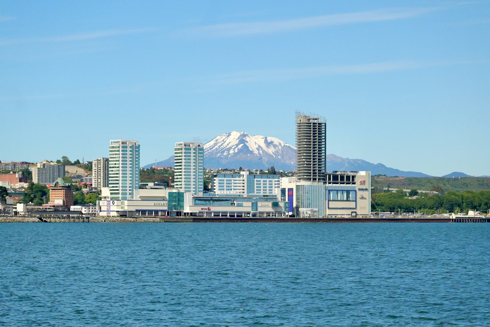
The Panamerican highway gives out at the head of the Reloncaví sound and the archipelago begins. Puerto Montt is a working city of salmon…
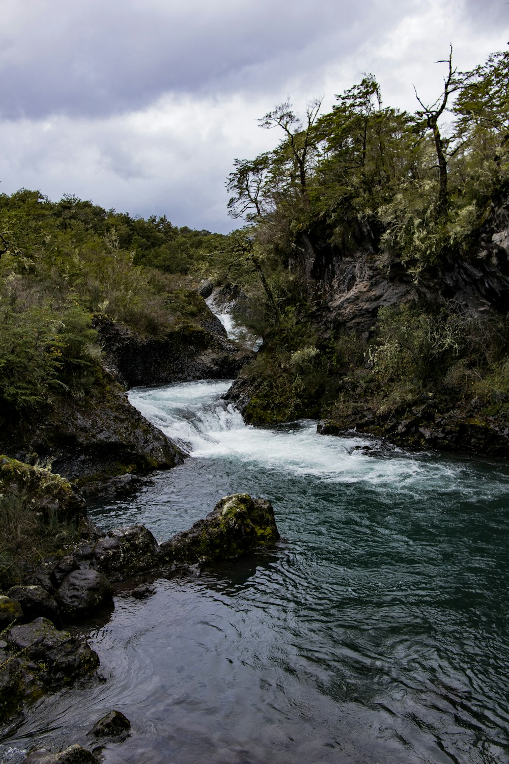
Turquoise chutes where the Petrohué river, just below its outlet from Lago Todos los Santos, breaks across a flow of lava from Osorno, with…
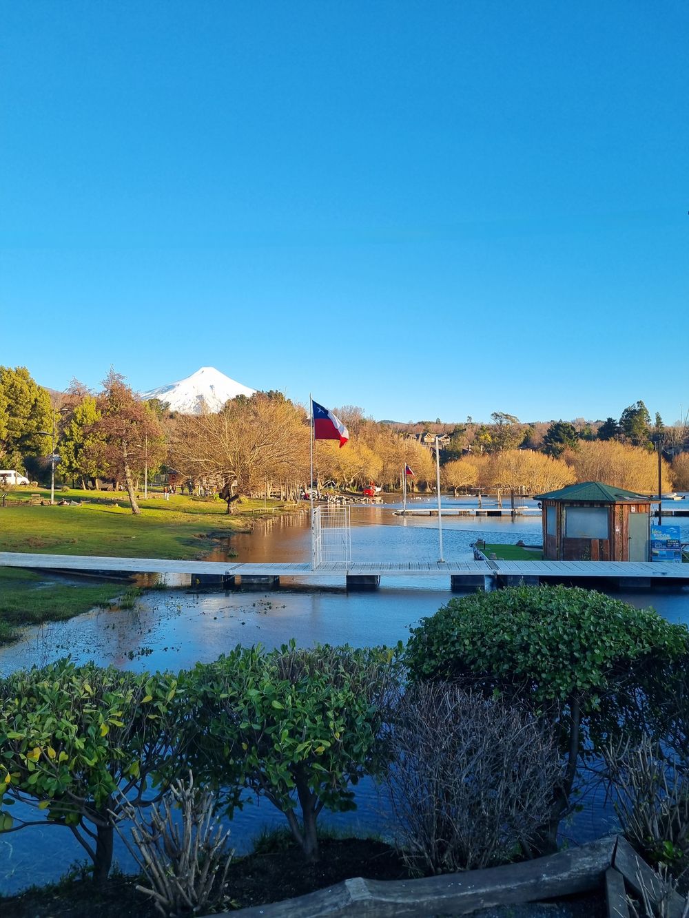
A lakefront promenade along the Llanquihue shore from the Plaza de Armas and the town pier, with the La Puntilla lookout and its iron…
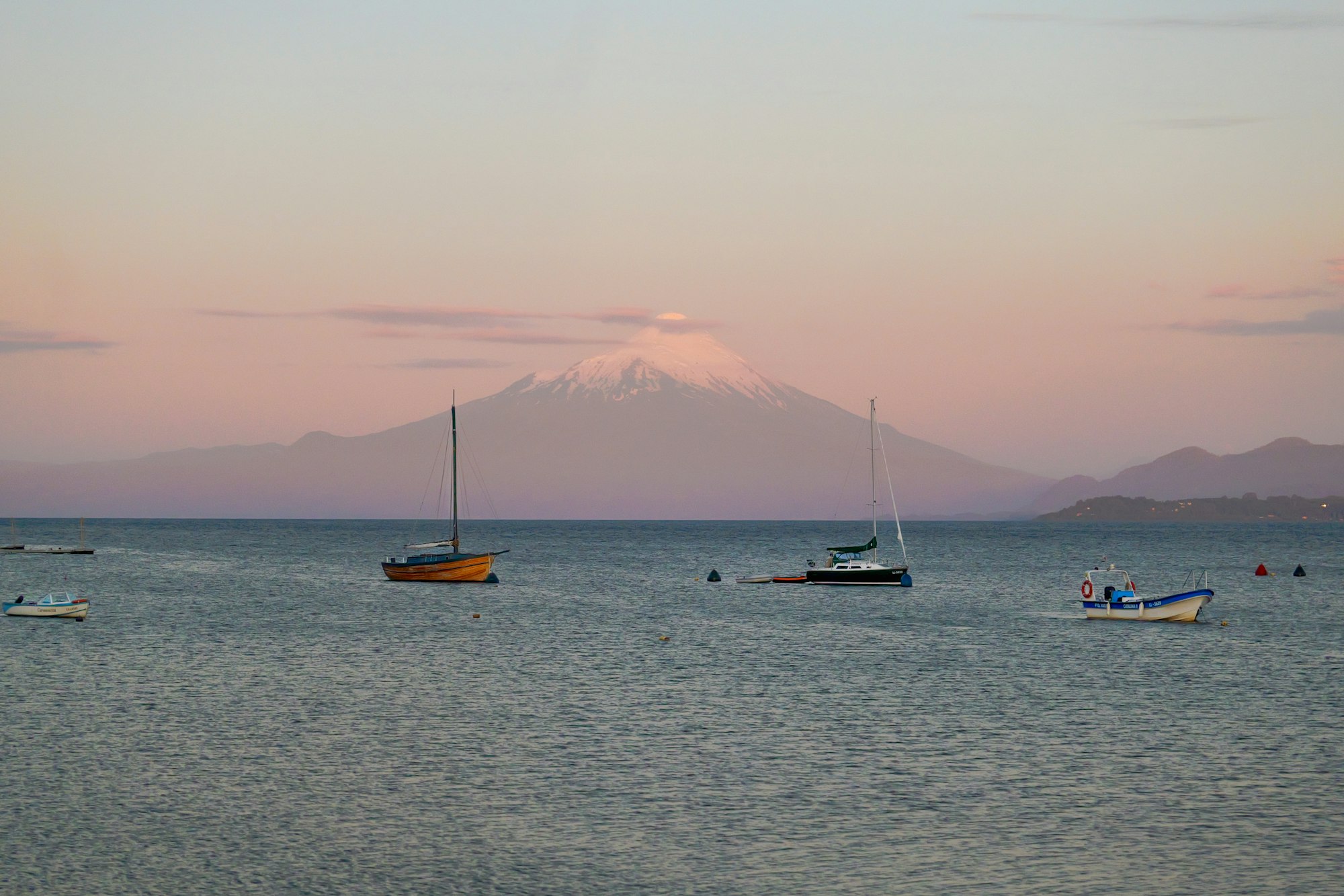
Two volcanoes fill the view across Lago Llanquihue from its southern shore, Osorno to the northeast and Calbuco to the east. German…
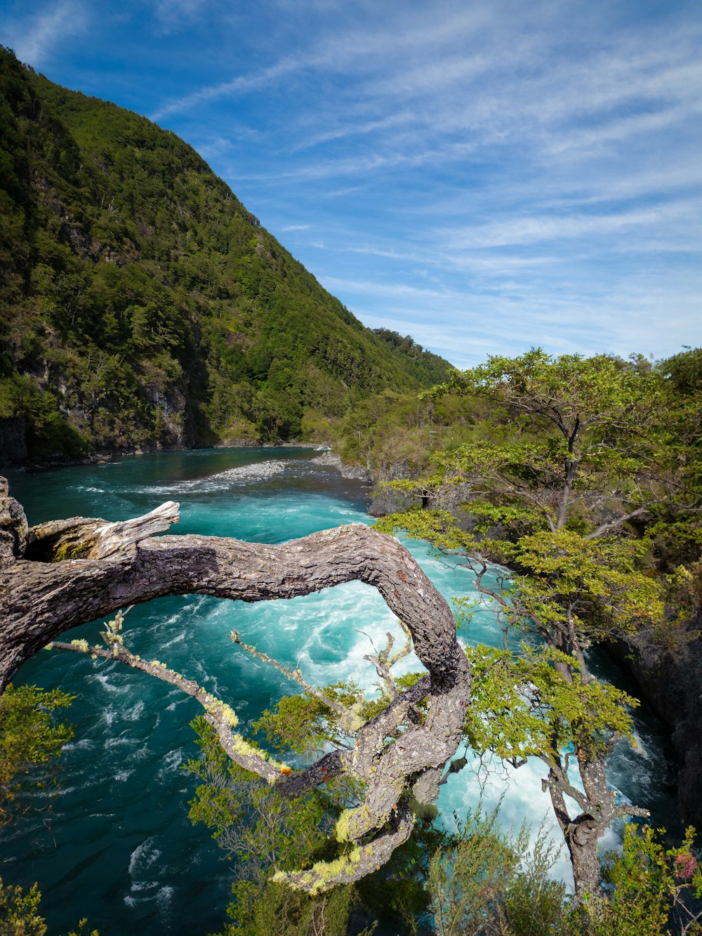
The Petrohué leaves Lago Todos los Santos and runs green and fast past the Saltos de Petrohué, below the Osorno cone. Operators from Puerto…
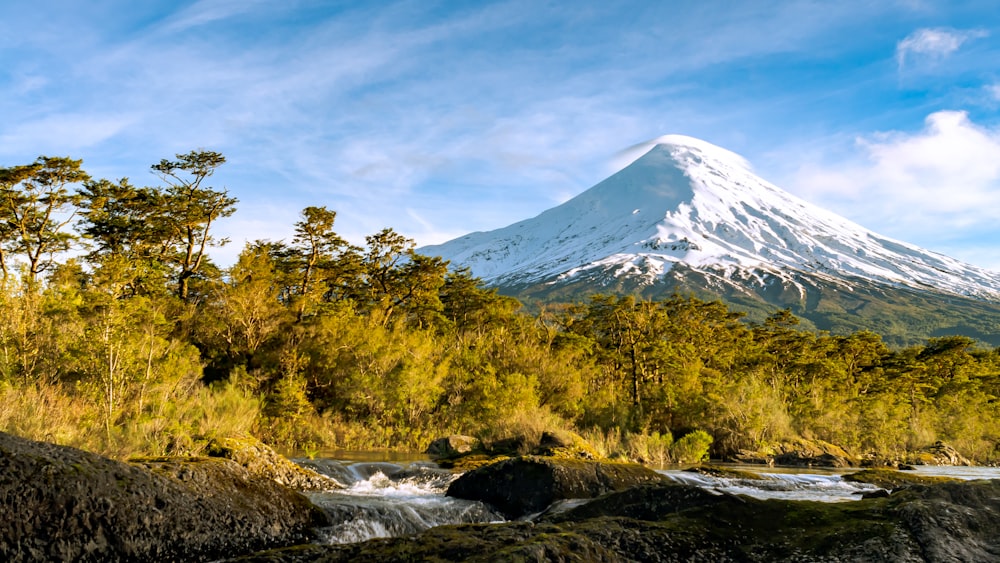
A near-symmetrical cone of 2,652 metres on the southeastern shore of Lago Llanquihue, glaciated on its upper slopes and last in eruption in…
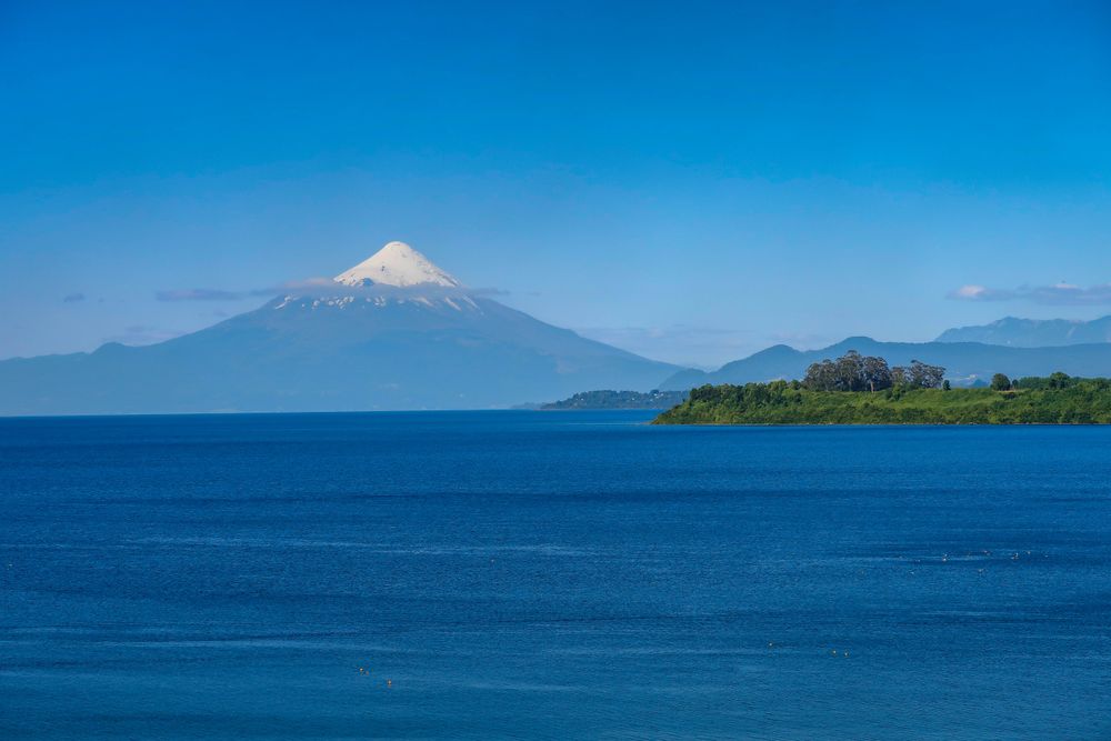
A glacial lake of about 871 square kilometres below the Osorno, Calbuco and Puntiagudo volcanoes, ringed by a shore road that links Puerto…
A waterfront museum beside the Puerto Montt bus terminal, reopened in 2025 as MuPA, with a room on the Monte Verde site, a dalca from Lago…
The official pages this guide was checked against.
Last updated