Globe Countries Cities Itineraries World's Best Hotels Events Login
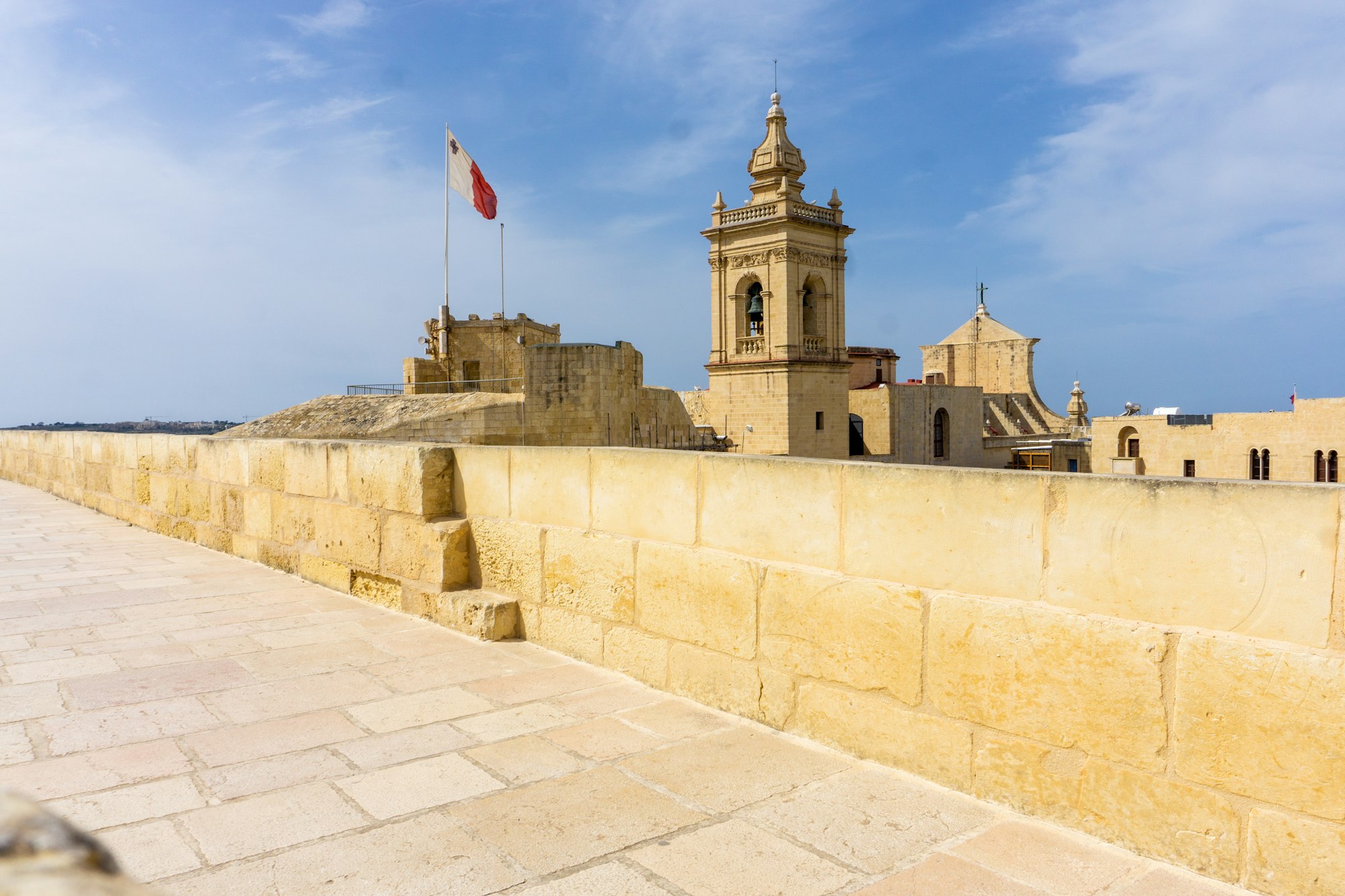
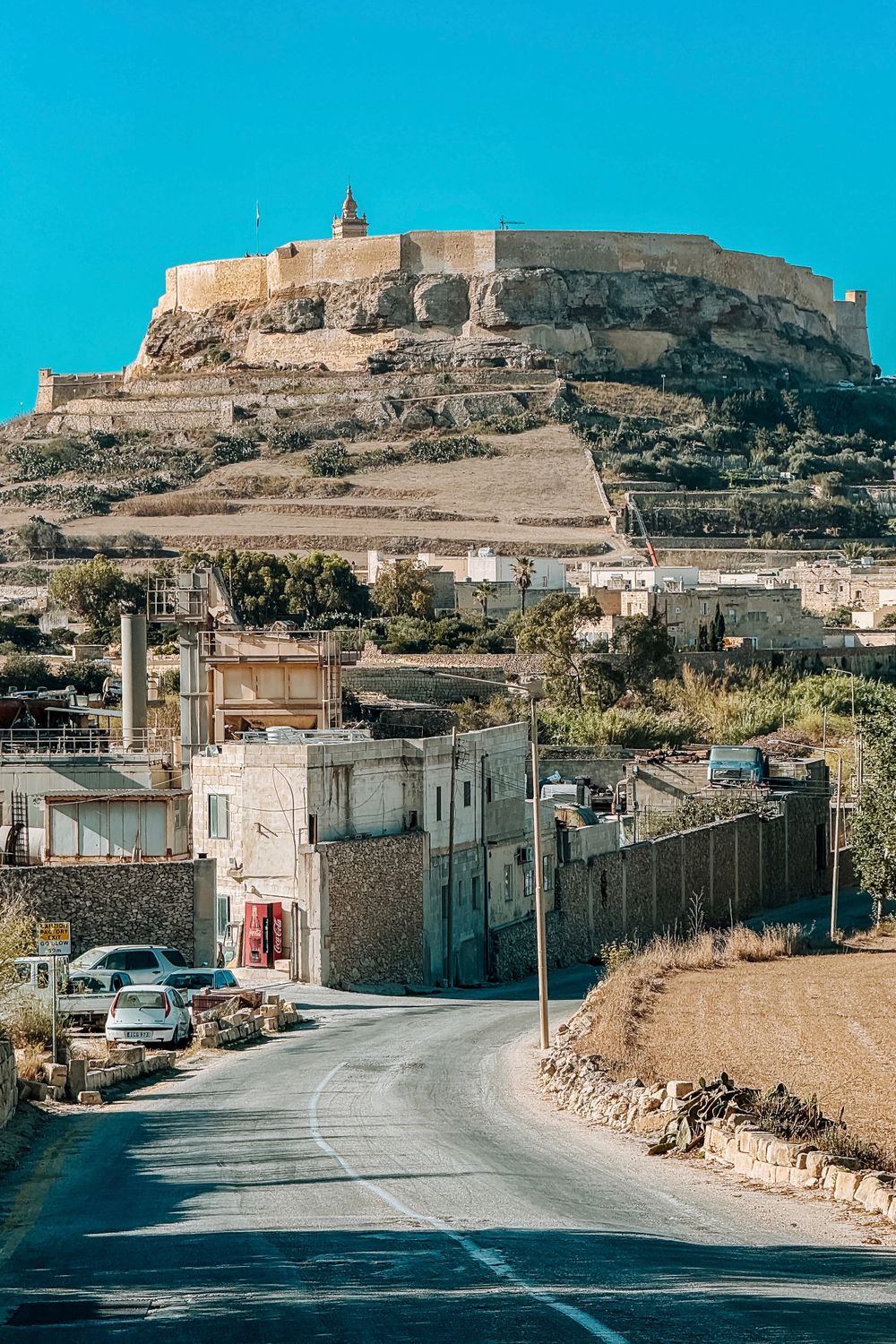
The stone walls of the Cittadella in Victoria, Gozo, with the cathedral bell tower rising behind them
Eva Darron

Gozo Is Too Spread Out for a Day Trip

Written by Meridian Dispatch  ·  2 November 2026  ·  Updated

Is Gozo worth a night when Malta is a short ferry ride away? Give it two or three: buses leave Victoria about once an hour, and the sights are scattered from the salt pans of the north coast to the cliffs of the south.


Gozo is roughly a third the size of Malta, and getting between its sights still takes up much of any day.

Without a car, two or three stops make a full day. A trip from Xlendi Bay to Ramla Bay means changing buses in Victoria.

Then there is the way home. In summer the queue for the car ferry at Mġarr builds from about half past four to half past six. The car ferry fare is collected on that leg, as you leave Gozo.

The outbound line can be worse. Leaving Malta, the car queue at Ċirkewwa can pass two hours on summer Friday afternoons. Coming back, Sunday evenings in July and August are the hardest crossings from Mġarr.

Staying lets you cross in the morning or late in the evening, when the lines are short. The car ferry from Ċirkewwa takes about 25 minutes, and walk-on passengers board past the vehicle line. A car hired on Malta can cross only if the hire agreement allows it, so ask when you book.

Without a car, the fast ferry from Valletta carries walk-on passengers straight to Mġarr in about 45 minutes, year round.

Mġarr harbour sits below steep roads to every village, so with luggage take bus 301 to Victoria or a taxi.
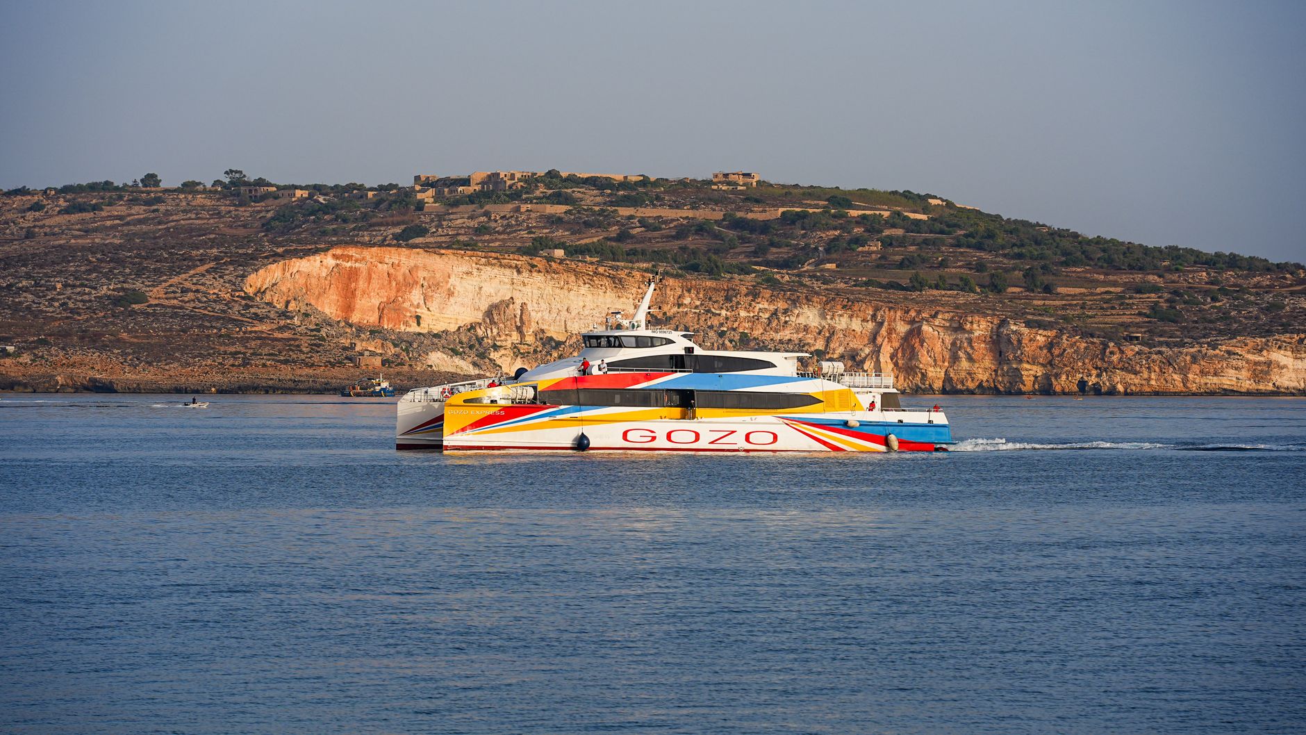
A Gozo fast ferry crossing open sea below the pale limestone cliffs of Malta
The fast ferry from Valletta, passing the cliffs of Malta on its way to Mġarr.Damir K

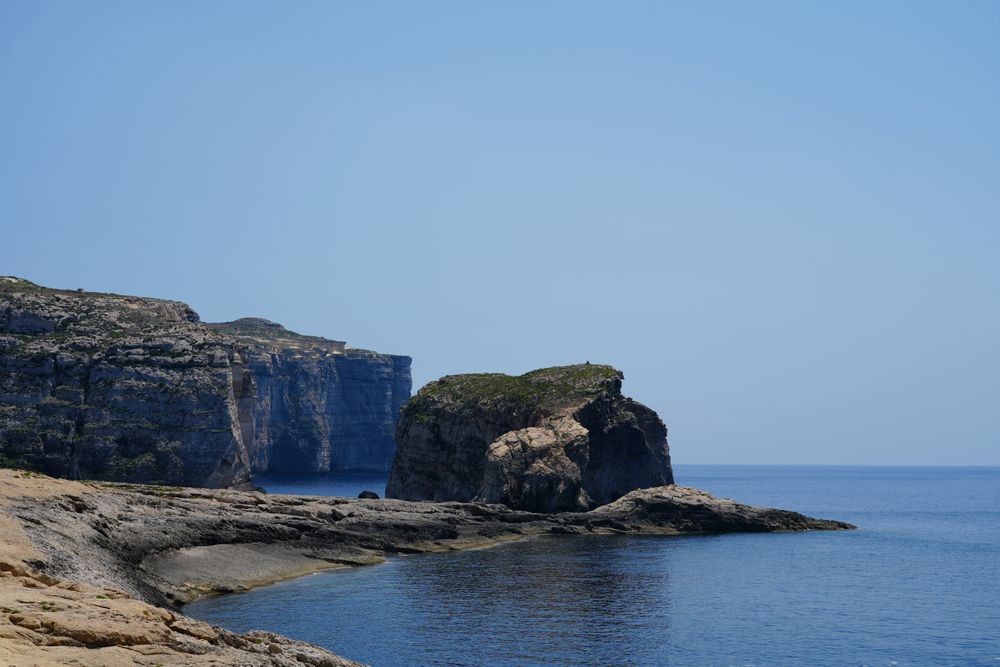
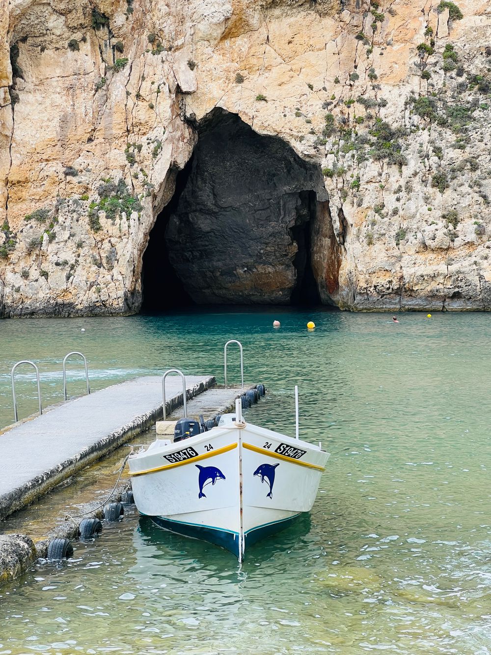
Spend a long afternoon at Dwejra, on the west coast, and allow a couple of hours. Fungus Rock stands off the cliffs, and boats leave from the Inland Sea to run along the coast when the water is calm. The café there is small, so bring water and food.

The Azure Window, the stone arch on most older postcards of Dwejra, fell into the sea in a gale in 2017. The arch still standing on Gozo is Wied il-Mielaħ Window, north of Għarb, seen from an unfenced cliff edge, so keep children in hand.
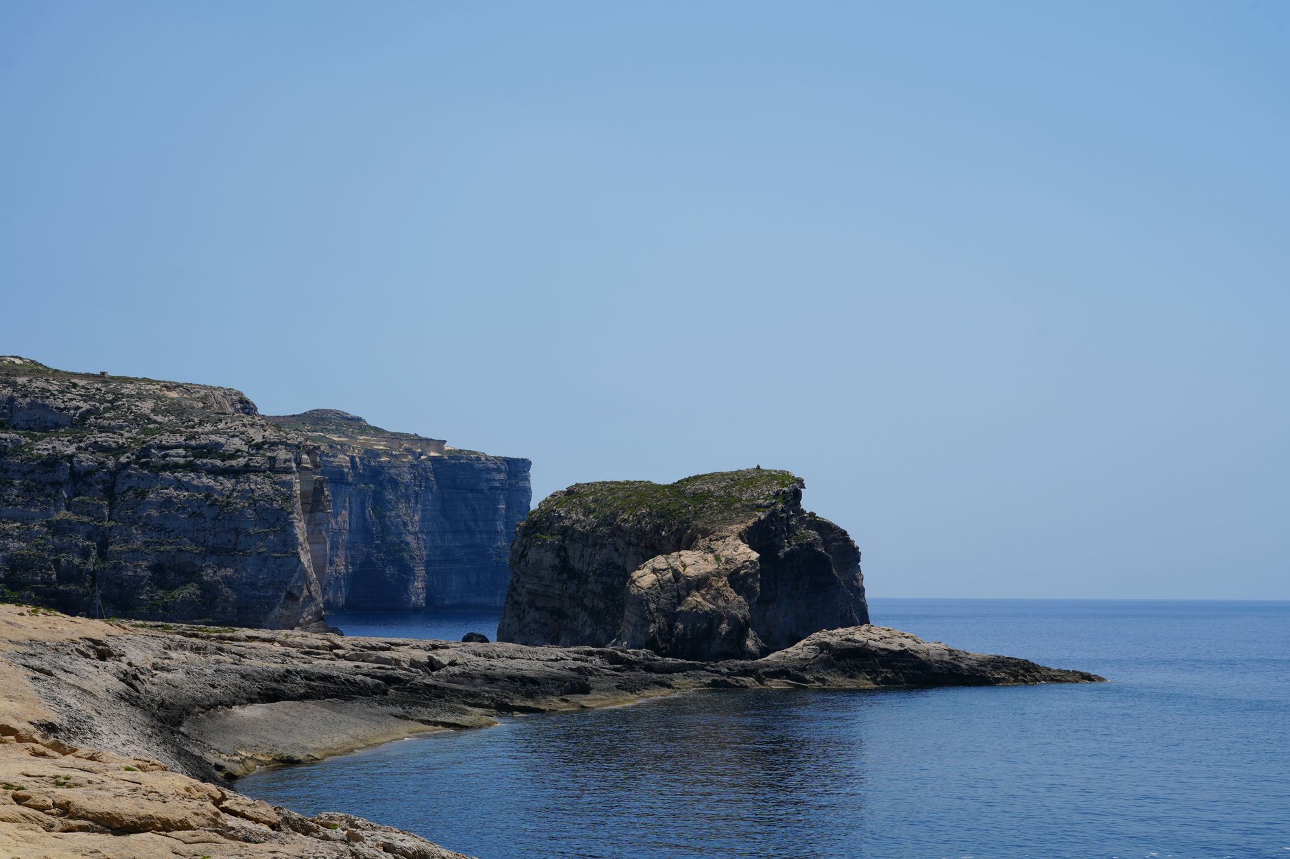
Fungus Rock rising from clear blue water below the sheer limestone cliffs of Dwejra on Gozo
Fungus Rock and the cliffs at Dwejra.Nadiia Astakhova

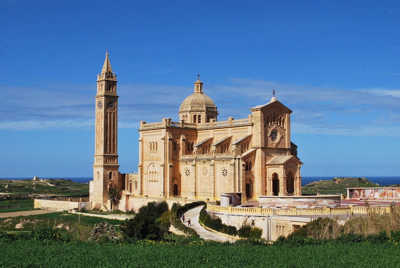
Ta' Pinu, the national shrine standing in open fields outside Għarb, is the awkward one without a car. Buses there run far enough apart that a visit can mean a long wait for the next one, so hire a car for that day and reserve it well before summer.
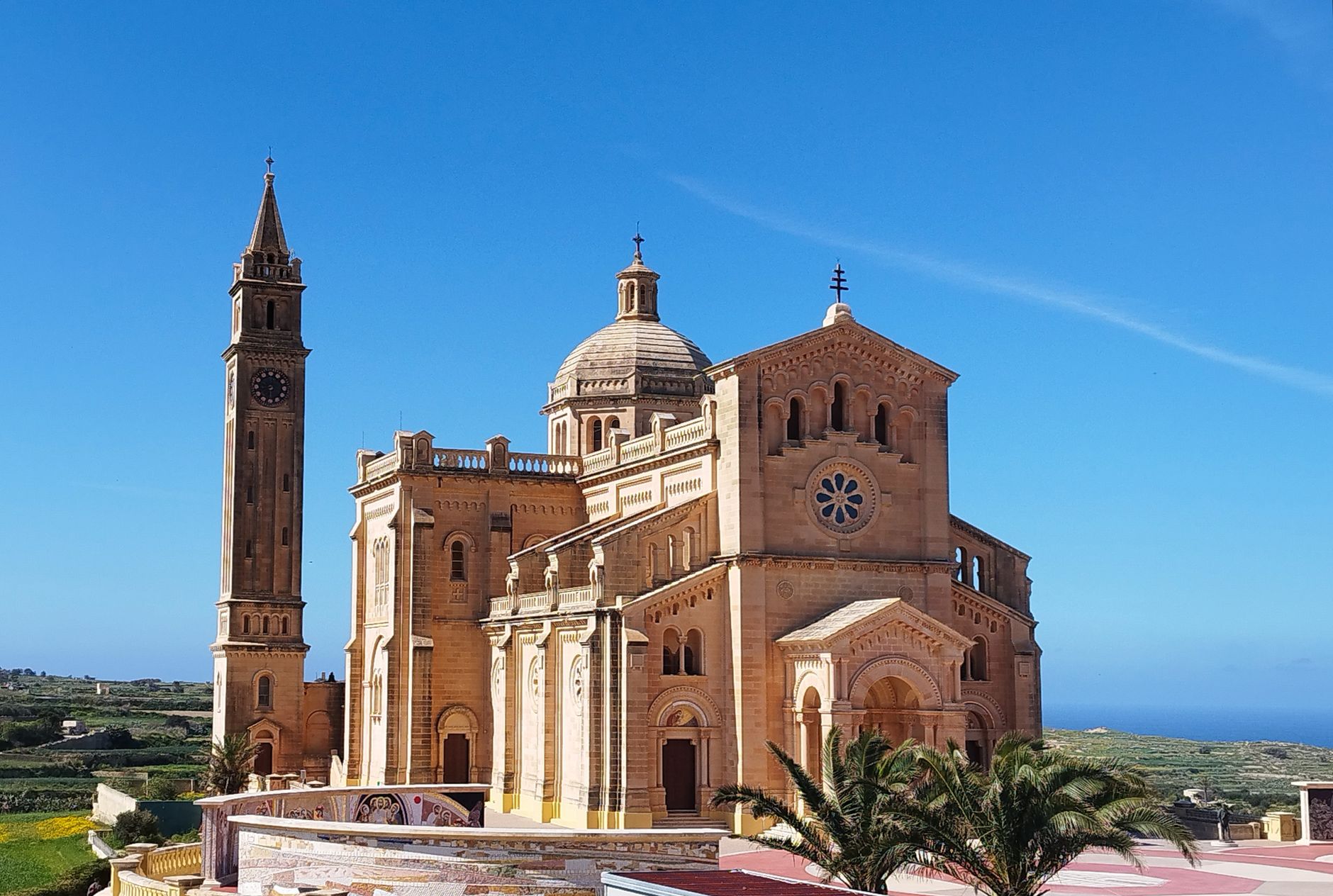
The pale stone facade and tall bell tower of Ta' Pinu basilica under a clear blue sky
Ta' Pinu basilica, a hard place to reach by bus.Valentin Razhdev

Over three nights, the buses still reach the north coast, the west and the south.

Victoria suits a stay by bus, because every route runs through it, and bus 301 leaves for the ferry about every half hour. Its other name is Rabat; on a bus sign it is not the Rabat on Malta.

The walls of the Cittadella are free to walk, and the museums inside are ticketed.

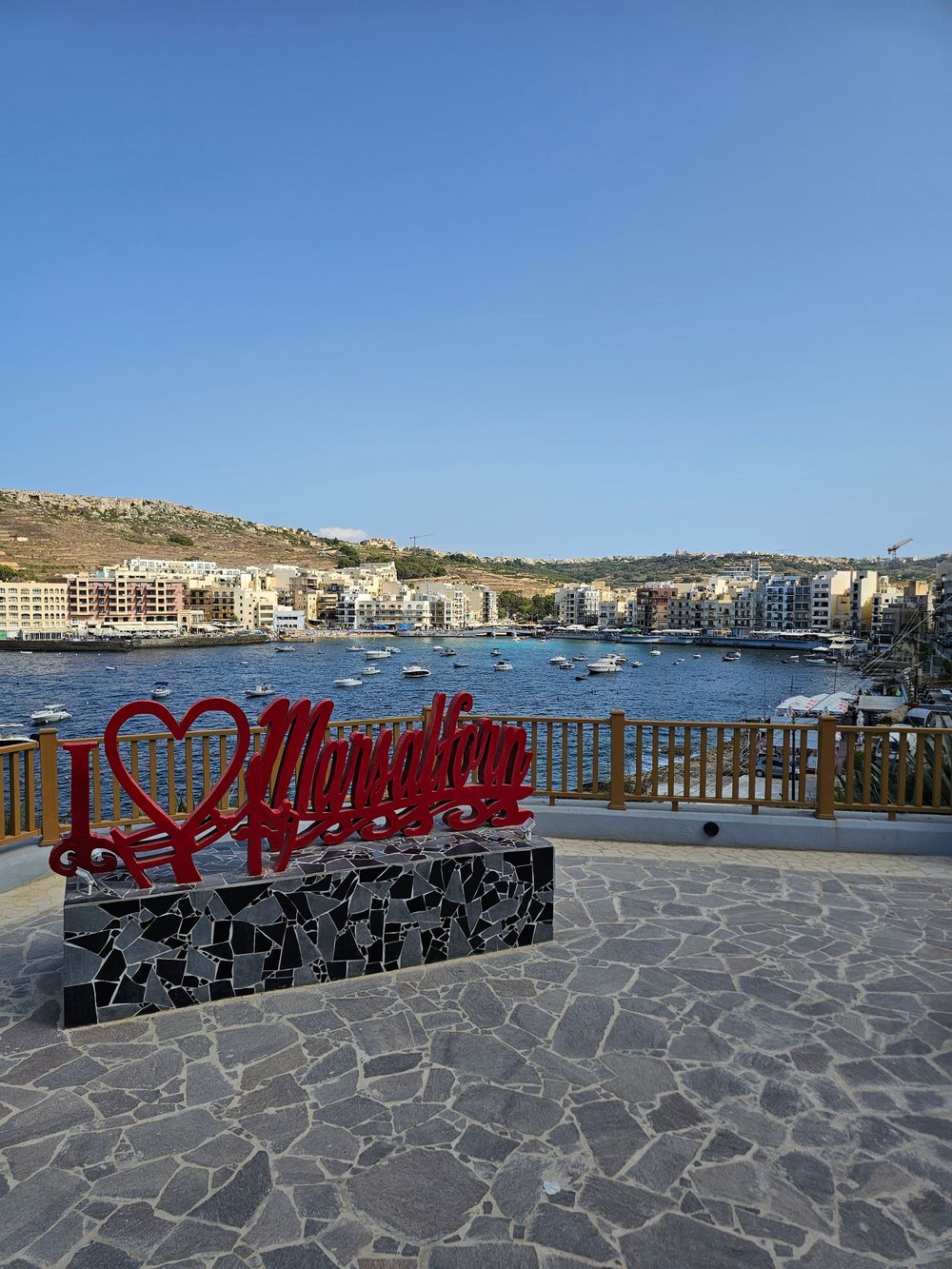
Marsalforn is the base for evenings. Restaurants line its waterfront, and the promenade round the bay is the walk after dinner. Its sand beach is small and fills up; swim off the ladders on the rocks instead.

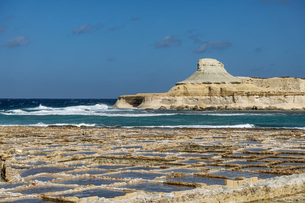
West along the coast, families still harvest salt at the Xwejni Salt Pans every summer, from mid-May to September. The pans are unfenced, free and open at all hours, and a small shop sells the salt. The nearest bus stop is a walk away and nothing else is nearby, so know when the next bus back is due.
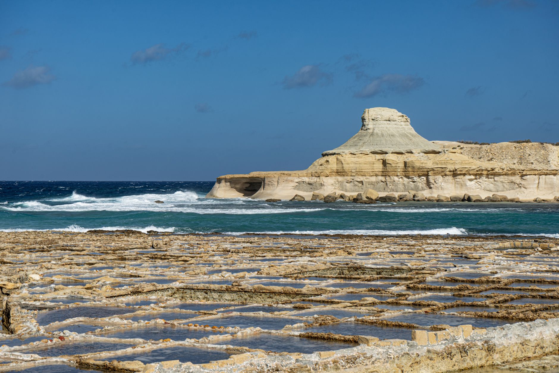
Rows of shallow square salt pans cut into the flat rock at Xwejni, with the Qolla l-Bajda headland and the sea beyond
The Xwejni Salt Pans, with the Qolla l-Bajda headland behind.Jiří Dočkal

Further west, Wied il-Għasri is a secluded swim that is calm in settled weather. Wind and rain turn its water murky and unsafe, so look before you climb down.

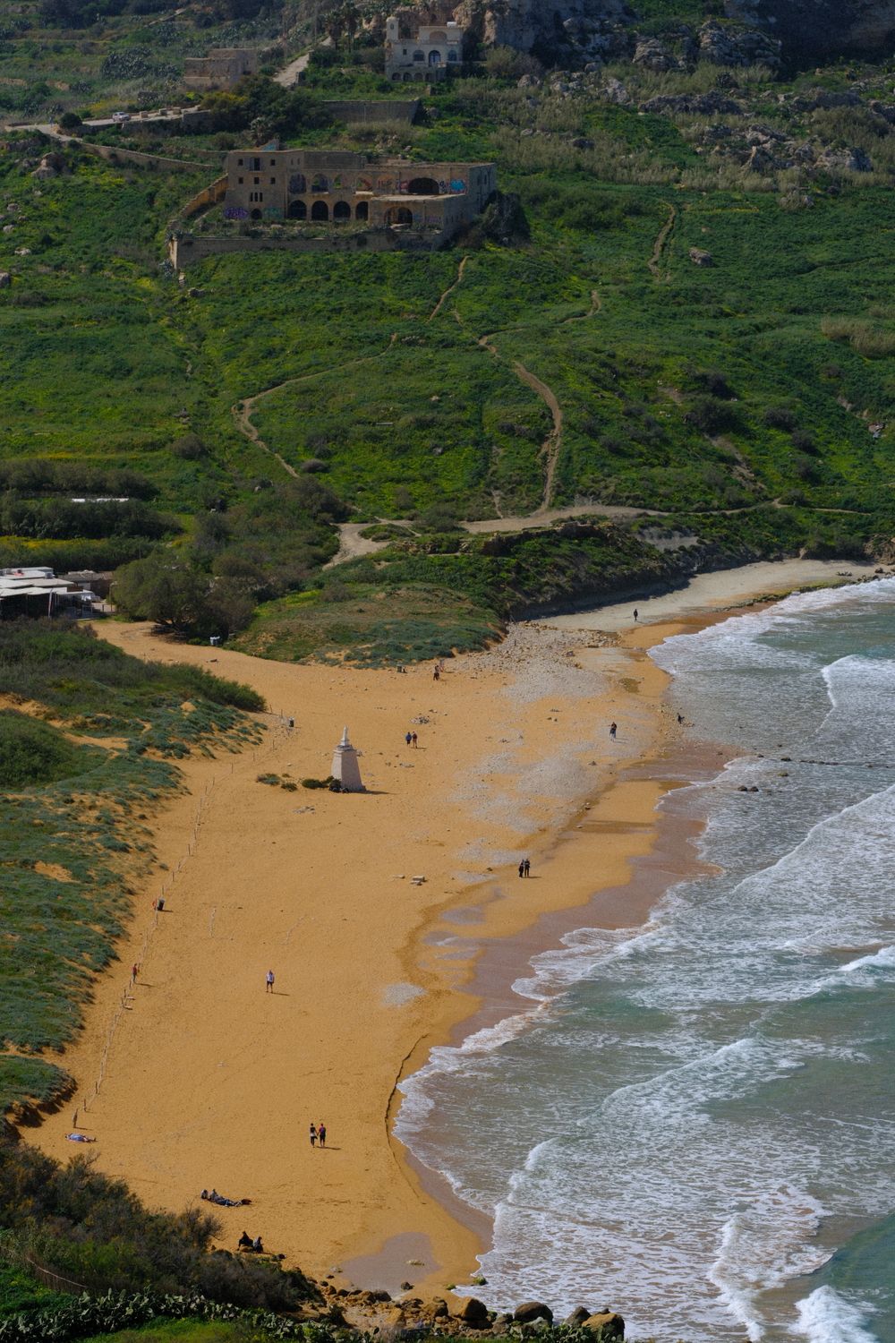
East of Marsalforn, the coast path toward Ramla is rugged and narrows sharply, and suits only sure-footed walkers. Ramla Bay has red-gold sand, snack bars and parking. Calypso's Cave above it is now only a lookout; the cave itself is closed.

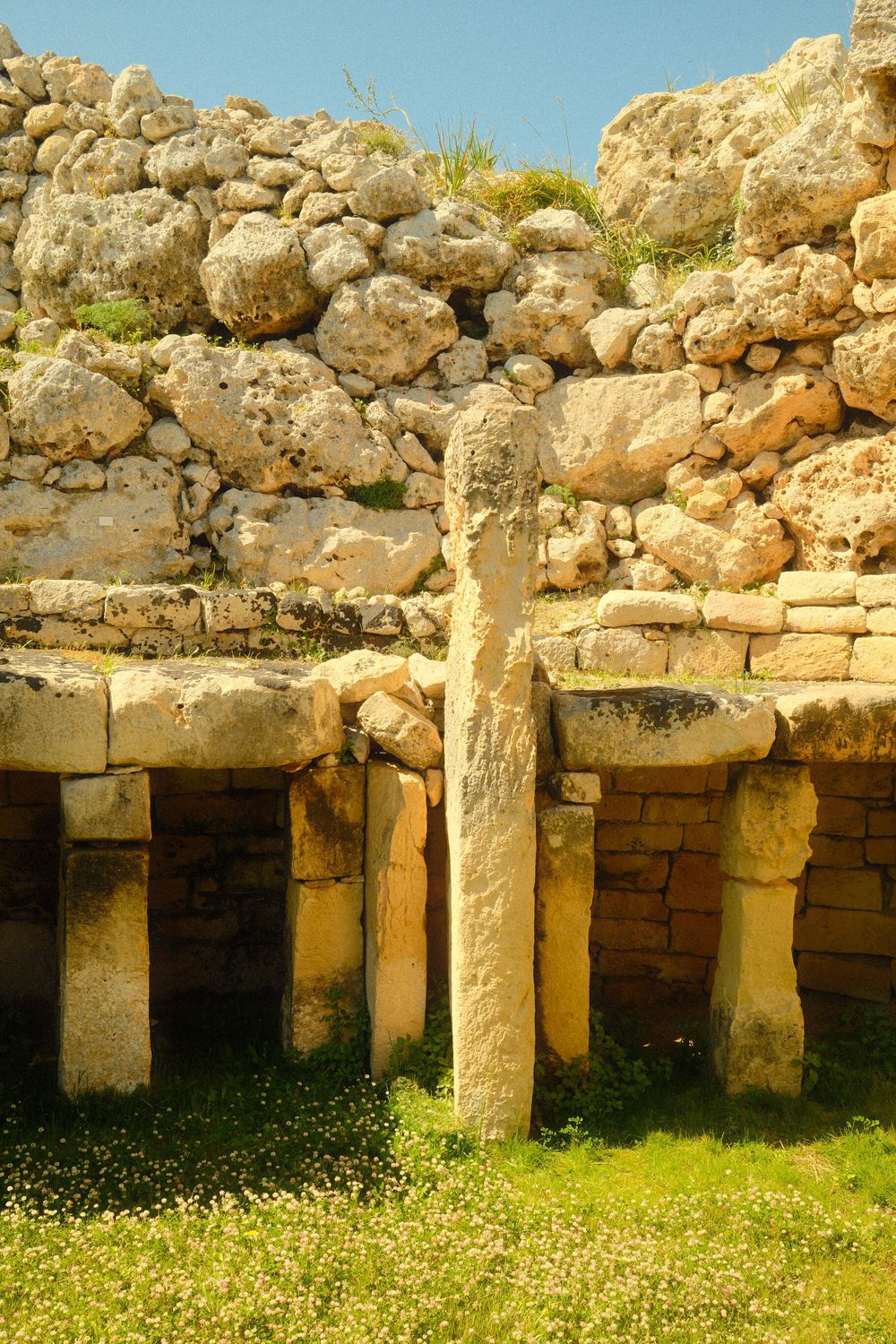
Inland, Xagħra holds Ġgantija, a ticketed temple site among the oldest free-standing structures in the world. Allow about an hour, including the small museum at the entrance.

Bus 303 from Victoria reaches Nadur in about 15 minutes. Its bakeries sell ftira, a round flat bread baked with potato or ġbejniet, the island's small sheep's cheese, and one makes a heavy lunch.


Xlendi Bay is the base for the south coast. Walk inland up the valley to the stone bridge above the bay. For sunset, the cliffs of Ta' Ċenċ are a walk across the plateau from Sannat, on bus 305 from Victoria.
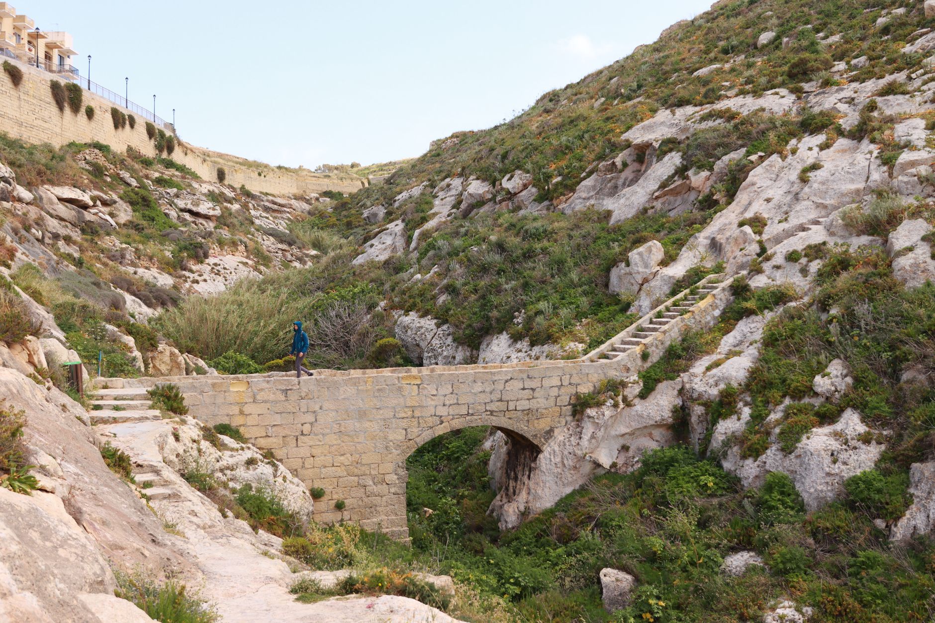
An old stone bridge crossing a dry rocky valley among scrub and terraced fields above Xlendi
The stone bridge in the valley above Xlendi.Efrem Efre

For a quieter stay, look at the farmhouses let as whole houses in villages such as Munxar and Żebbuġ, and book them well ahead.

Book wine tastings ahead too. Family wineries such as Tal-Massar and Ta' Mena arrange visits by email or phone, and few take walk-ins. Tal-Massar is on bus 312.

Gozo is the Maltese weekend getaway, and it fills for Carnival in February or early March and for Santa Marija in mid-August.

In October the sea still sits at about 23 to 24°C, warm enough for a long swim.
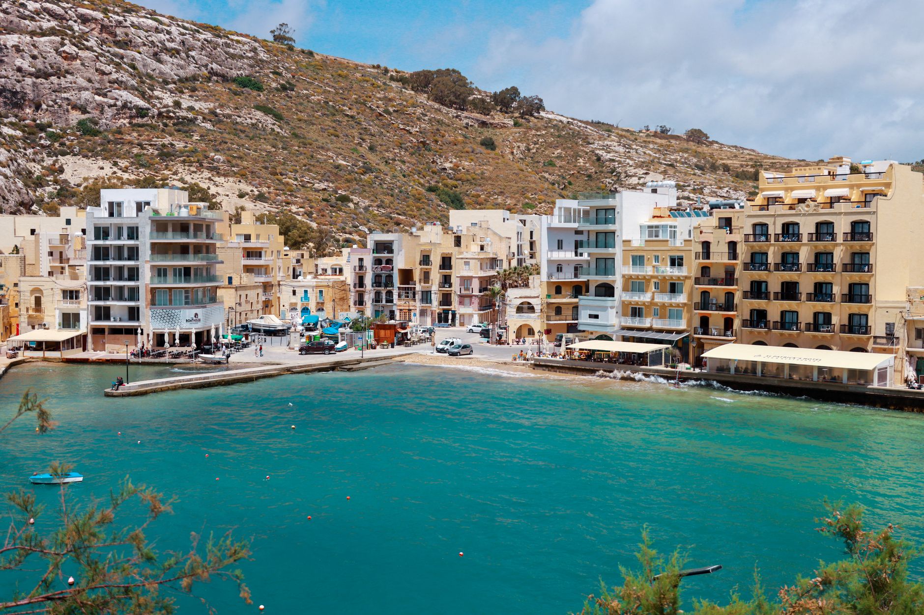
Turquoise water in the narrow bay of Xlendi, ringed by low buildings and rock
Xlendi Bay, the base for the south coast.Efrem Efre

Wind is the other reason for a third night. A rough sea closes beaches and creeks and stops the boats at Dwejra. With time in hand, you move the swim to the day the wind drops.

When the wind is up, go to Mġarr ix-Xini, a narrow inlet on the south coast that often stays calm when the north shore is rough.
← All dispatches
Places on record

Every place in this dispatch

  1. Fortress
    Cittadella
    Fortress · Victoria

    Cittadella

    On a hilltop visible from all over Gozo, this walled town is the island's major landmark. You take in the views from its ramparts, then step inside a cathedral whose dome is only painted on its flat ceiling.

  2. Church
    Ta' Pinu
    Church · Għarb

    Ta' Pinu

    On Gozo, you walk behind the altar of the most famous pilgrimage church in the Maltese islands to reach the small chapel it was built around, then on into corridors lined with thanks offerings.

  3. Waterfront
    Dwejra Bay
    Waterfront · Dwejra

    Dwejra Bay

    This deep round bay on Gozo's west coast is a swim off rock-cut steps when the sea is calm, beneath the stretch of cliff that held the Azure Window.

  4. Waterfront
    Inland Sea
    Waterfront · Dwejra

    Inland Sea

    Boats leave a calm lagoon on Gozo's west coast, pass through a natural tunnel in the rock and come out beneath tall cliffs on the open Mediterranean.

  5. Island
    Map of Fungus Rock
    Island · Dwejra

    Fungus Rock

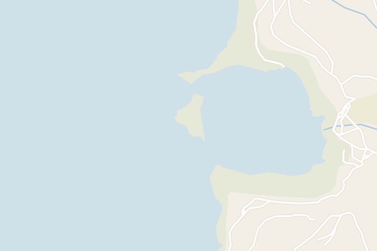
    A squat limestone block in Dwejra Bay, Fungus Rock is a nature reserve where landing is forbidden. The Knights guarded it for a plant on its flat top that was thought to stop bleeding. It is best seen from the cliff path above the bay or from a boat leaving the Inland Sea. Treat it as a short stop within a Dwejra visit.

  6. Landmark
    Map of Wied il-Mielaħ Window
    Landmark · Għarb

    Wied il-Mielaħ Window

    Five kilometres from Victoria, you look down from the clifftop at the end of a valley north of Għarb onto Gozo’s most prominent remaining sea arch, a block of limestone suspended over clear water.

  7. Archaeological Site
    Ġgantija
    Archaeological Site · Xagħra

    Ġgantija

    Ġgantija's two Neolithic temples still have walls standing to about 6 metres in places, and you walk among ruins that are well preserved for buildings of their age.

  8. Landmark
    Map of Calypso's Cave
    Landmark · Xagħra

    Calypso's Cave

    Stand on the clifftop at Calypso's Cave and you get a bird's eye view straight down on Ramla Bay, the red sand beach of Gozo, with the valley behind it.

  9. Beach
    Ramla Bay
    Beach · Xagħra

    Ramla Bay

    Red-gold sand sets Gozo's largest sandy beach apart. You can swim off it in summer, then climb the track above it for a view over the whole bay.

  10. Beach
    Marsalforn Bay
    Beach · Marsalforn

    Marsalforn Bay

    Come for the bay, not the sand: a small crescent of coarse beach, steel ladders into clear deep water, and fish restaurants along the promenade behind you.

  11. Landmark
    Xwejni Salt Pans
    Landmark · Marsalforn

    Xwejni Salt Pans

    Walk the edge of a working salt farm on Gozo's north shore, just west of Marsalforn. In summer you can watch the salt being raked from the rock-cut pans and buy it from the family that makes it.

  12. Canyon
    Map of Wied il-Għasri
    Canyon · Marsalforn

    Wied il-Għasri

    Follow Gozo's north shore west from Marsalforn and you cross a kilometre of salt pans cut into the rock to reach Wied il-Għasri, a narrow sea gorge whose pebble cove you reach by a stair carved into the cliff.

Explore

More of Malta

Country

Malta

Every Malta dispatch, city and place, on one map.

Town guide

Victoria

The Cittadella, the bus hub for the whole island, and Ta' Pinu and Dwejra to the west.

Town guide

Xlendi

A swimming bay on the south coast, with the Ta' Ċenċ cliffs and Mġarr ix-Xini nearby.

Meridian Dispatch for iPhone

Plan the trip.
Keep the story.

Every other travel app asks you to start logging. Meridian Dispatch opens with years of your travel already written, from the photographs you already took.