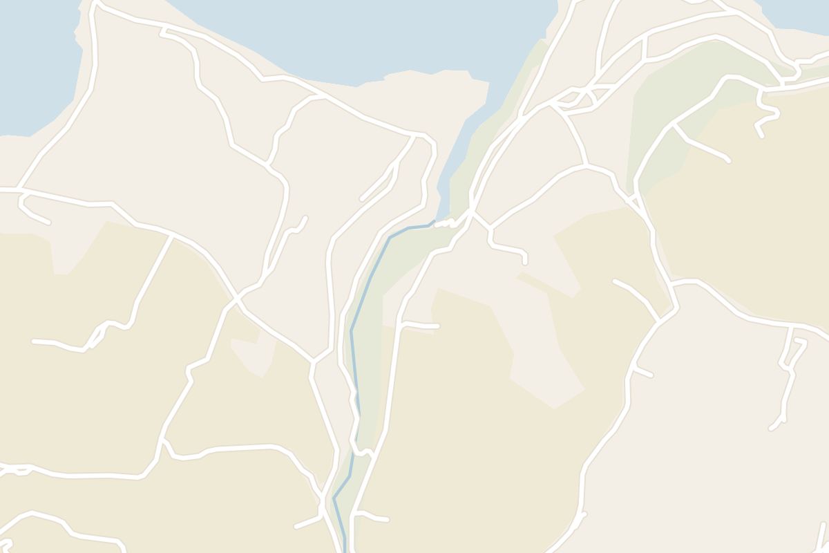
Follow Gozo's north shore west from Marsalforn and you cross a kilometre of salt pans cut into the rock to reach Wied il-Għasri, a narrow sea gorge whose pebble cove you reach by a stair carved into the cliff.
Hike, Marsalforn. Meridian Dispatch.
By steps. A series of steps has been cut into one side of the cliff face, leading down to the tiny pebble beach at the mouth of the gorge. The stair is the only way down, and the climb back up uses the same steps.
Yes, on a fine day. The narrow, secluded bay is a quiet place to bathe and is popular with divers exploring the underwater caves nearby. In rough weather the swell surges up the inlet and breaks on the small beach, so the gorge is then best watched from the cliff top.
Not to the gorge itself. Route 308 runs from Victoria to the village of L-Għasri, inland up the valley, and route 310 runs from Victoria through Marsalforn, Qbajjar and Xwejni. From Xwejni the gorge is reached on foot, west along the coast through the salt pans.
Between mid-September and mid-June. Midsummer is the hottest stretch, with daytime temperatures usually above 30°C in July and August, and walks then are best kept short, in the morning or evening. Very windy and wet weather makes the coast difficult and at times dangerous.
Food can be bought in Victoria and at Qbajjar, the small bay just west of Marsalforn. Most of the route crosses open countryside, so a packed lunch is advisable.
Stone plinths stand along the route to guide walkers. The route map in the centre pages of the Visit Gozo salt pans walk booklet also shows the way, for walkers who want a printed map.
Between Qbajjar and Xwejni the route follows the road over the battery spur. The shaded end is the stair down to the cove. Heights on the chart are approximate.
The walk leaves Marsalforn's seafront westward, around the Ponta headland to the small bay of Qbajjar. Beyond it the road crosses the spur of Il-Qolla l-Bajda, a yellow mound at the tip of a small peninsula and the site of an 18th-century coastal battery.
West of Xwejni Bay the path runs through the salt pans, a chequerboard of shallow basins and channels cut by hand into the flat limestone shelf. Families still harvest salt there in summer and sometimes sell it at the roadside.
Past the pans the path rises onto bare rock along the cliff top. The shore faces north, and winter storms bring high breaking waves, so on a stormy day keep well back from the edge.
Wied il-Għasri opens below as a deep, winding valley between steep cliffs, ending in a small pebble beach. At the mouth, a cave has a shaft dug up to the cliff top that once held ropes and buckets for lifting seawater to the salt pans.
The first two kilometres are town: paved promenades, several flights of steps around the Ponta headland, one of about 80, and about 600 metres of road over the battery spur. Apart from the steps it is level going.
From Xwejni the ground is bare limestone, flat through the salt pans and then rougher along the cliff top. The walk ends on the rock-cut stair to the cove, steep and uneven, which you climb again to leave.
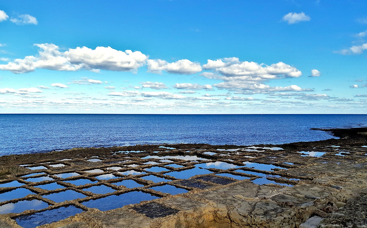
Wake on Gozo's north shore, walk west past the salt pans to a gorge with a cove at its foot, and spend the afternoon swimming off the rocks in Marsalforn Bay.
Read the Marsalforn guideEight more walks on Malta, Comino and Gozo
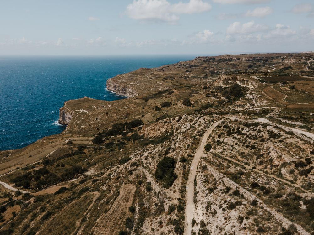
Malta's highest sea cliffs, from Dingli village to the chapel on the edge, then inland past the cart ruts to Buskett.
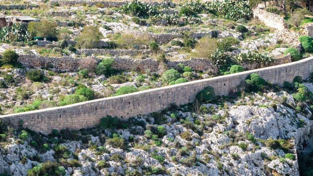
A walk along the old defensive wall that crosses Malta on its escarpment, with the north of the island spread below.
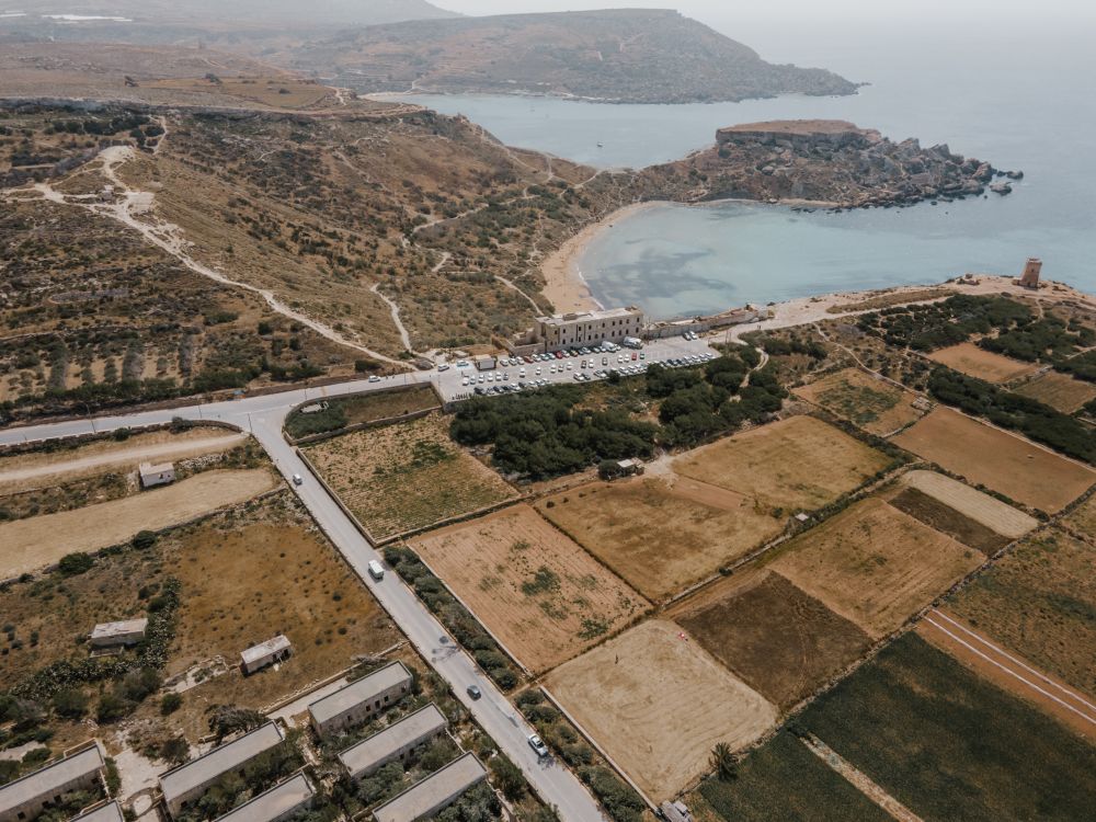
The protected cliffs above Golden Bay, walked north past two old towers and a swimming cove to Anchor Bay.
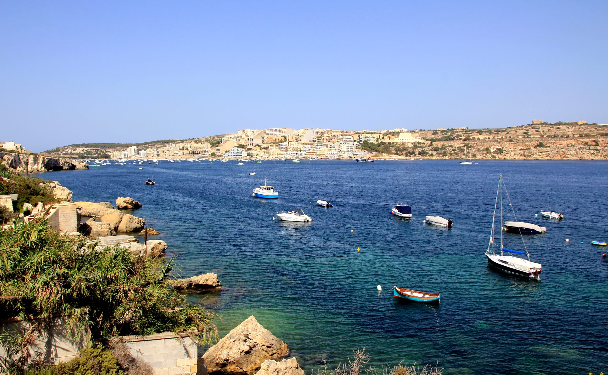
Two thousand years of Maltese country life on the low hill above Xemxija Bay, the sites a few minutes apart.
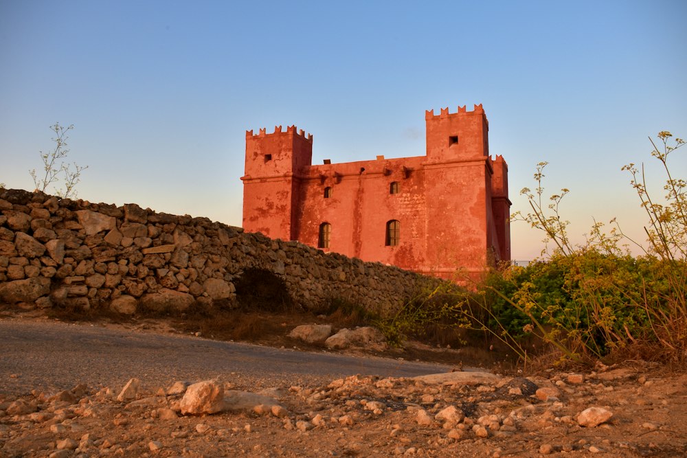
Round the whole Marfa peninsula from the Red Tower, with Comino and Gozo in view and a swim at Paradise Bay.
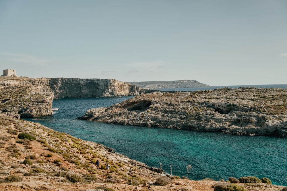
Round the island along the south cliffs, then back to the Blue Lagoon for a swim.
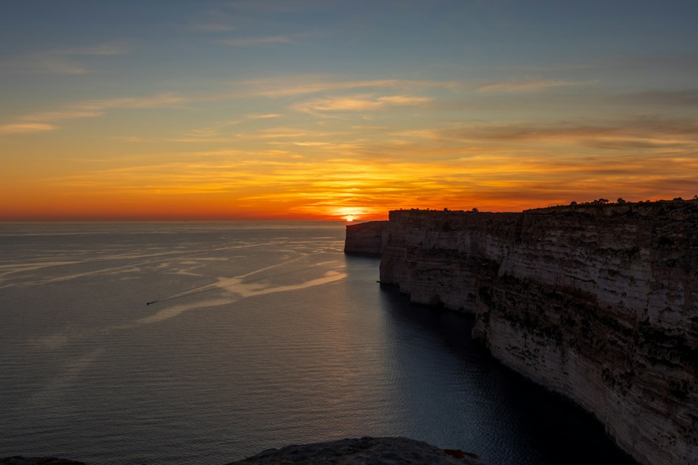
Gozo's tallest sea cliffs, walked from Sannat down to a swimming inlet.
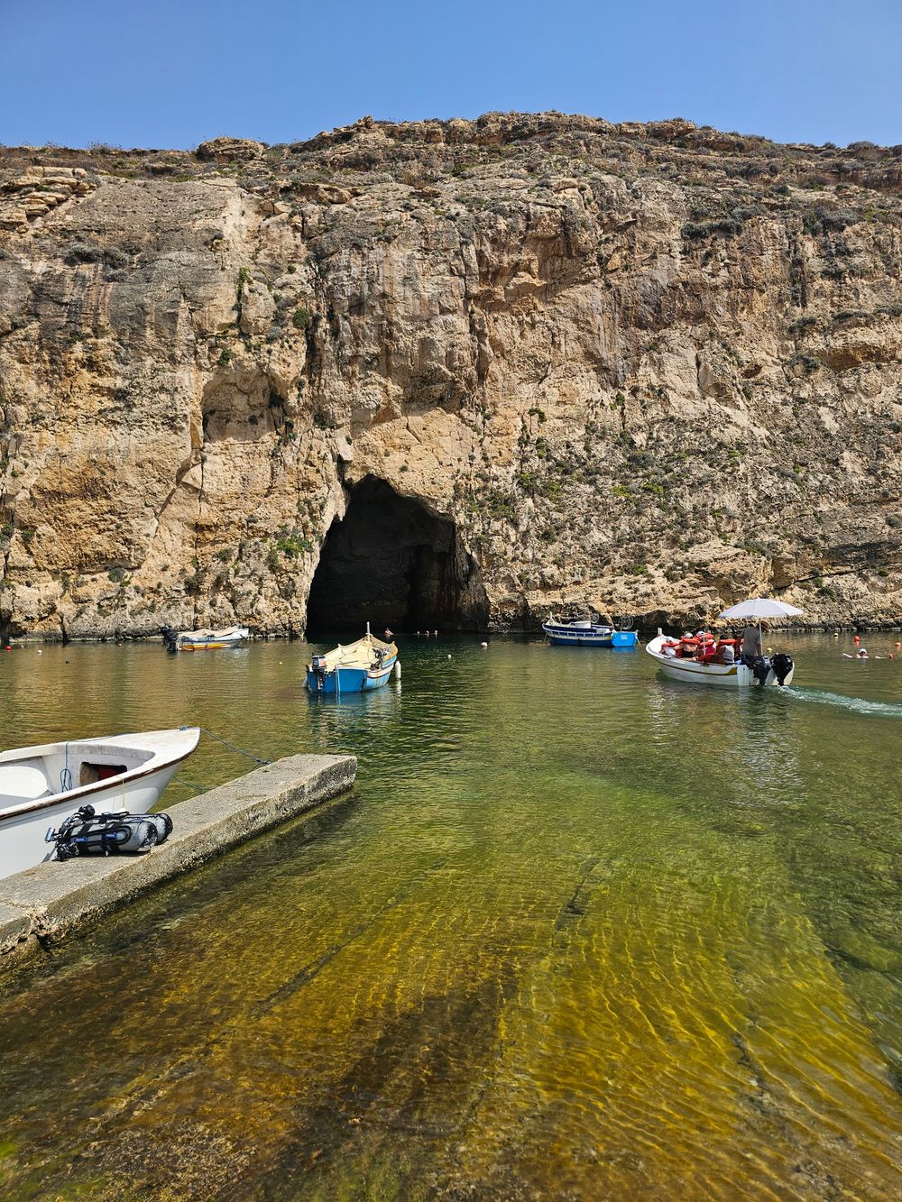
West Gozo's open cliff tops from Xlendi Bay to Fungus Rock, with the Inland Sea at the end.
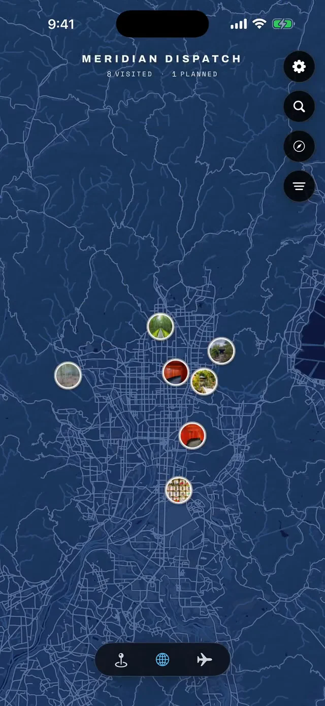



Save Wied il-Għasri to your Malta trip in the Meridian Dispatch app and build the day around it, with the best of Marsalforn pinned on one map.
Download on the App StoreLast updated