
You walk up a gorge to a cliff striped in red clay between black lava beds, with Hengifoss falling down its face, and pass a second waterfall framed in basalt columns on the way.
Landmark, Egilsstaðir. Meridian Dispatch.
The walk up takes about 40 to 60 minutes from the car park, on either bank of the river. Benches along the trail give places to rest.
Litlanesfoss is the smaller waterfall about halfway up the Hengifoss trail, around 1.2 kilometres from the car park. It sits beside the main path, so it needs no detour on the way to the main falls.
Hengifoss is 128 metres high, among the tallest waterfalls in Iceland. After a very dry summer it runs narrower by August, but the drop stays the same.
It is about 35 kilometres, roughly 30 minutes by car, and both lake-shore routes come to the same length. The trailhead car park is signposted from the road.
Yes. A private operator charges for the car park, and one payment covers the whole day, midnight to midnight. An unpaid stay brings a payment claim to the vehicle's registered owner after 24 hours, and rental companies may add their own fee.
Yes, and more visitors now come in winter. A local ranger is the person to consult before a winter visit, as traffic and weather can both be hazardous.
Hengifoss falls from the plateau into a gorge above Lake Lagarfljót in Fljótsdalur. It is fed by the Hengifossá river, and the falls are sometimes called the Layer Falls.
That second name describes the cliff. Beds of black lava are stacked one on another up the gorge wall, with thin rust-coloured bands between them, so the whole face looks ruled in stripes.
Those bands are old clay and soil that collected between eruptions millions of years ago, when this corner of Iceland was warmer and wetter, and later oxidised.
Litlanesfoss, the smaller fall on the way up, is the second sight. It drops about 30 metres in two steps between columns of rock on both sides of the gorge, and the path runs right past it.
Two roads lead from Egilsstaðir to Hengifoss, one on each shore of Lake Lagarfljót. The west-shore road leaves Route 1 near the airport as Route 931, signed for Fljótsdalur and Skriðuklaustur. The east-shore road follows Route 95 and then Route 931 to the end of the lake, where the car park sits beside the main road.
The car park is charged by camera: pay at the kiosk on site or on the operator's website, and stops under 15 minutes are free. The trail starts through a gate by the service centre, where rangers give information on the area, then climbs a flight of stairs before a gravel path takes over for about 2 kilometres.
Paths run up both sides of the river, joined by a hikers' bridge at the car park and another just before the great gorge, so you can climb one bank and come down the other. Litlanesfoss comes about halfway. The last stretch below Hengifoss is the steepest and roughest, so take it slowly on the way down.
Steep trails of loose gravel drop into the canyon below the main falls. Take them with care, and keep back from the canyon edge, especially with children.
Wear sturdy boots with a good grip, carry water and a snack, and dress in layers. In late May and early June, snowmelt raises the streams, so expect mud and a few small streams to wade.
In July the car park can fill. If it is full, drive on 5 kilometres to the Vatnajökull National Park visitor centre at Skriðuklaustur and come back once a space has opened.
For photographs, plan on the morning: the falls and the gorge face southeast, so that is when the light reaches the striped cliff.
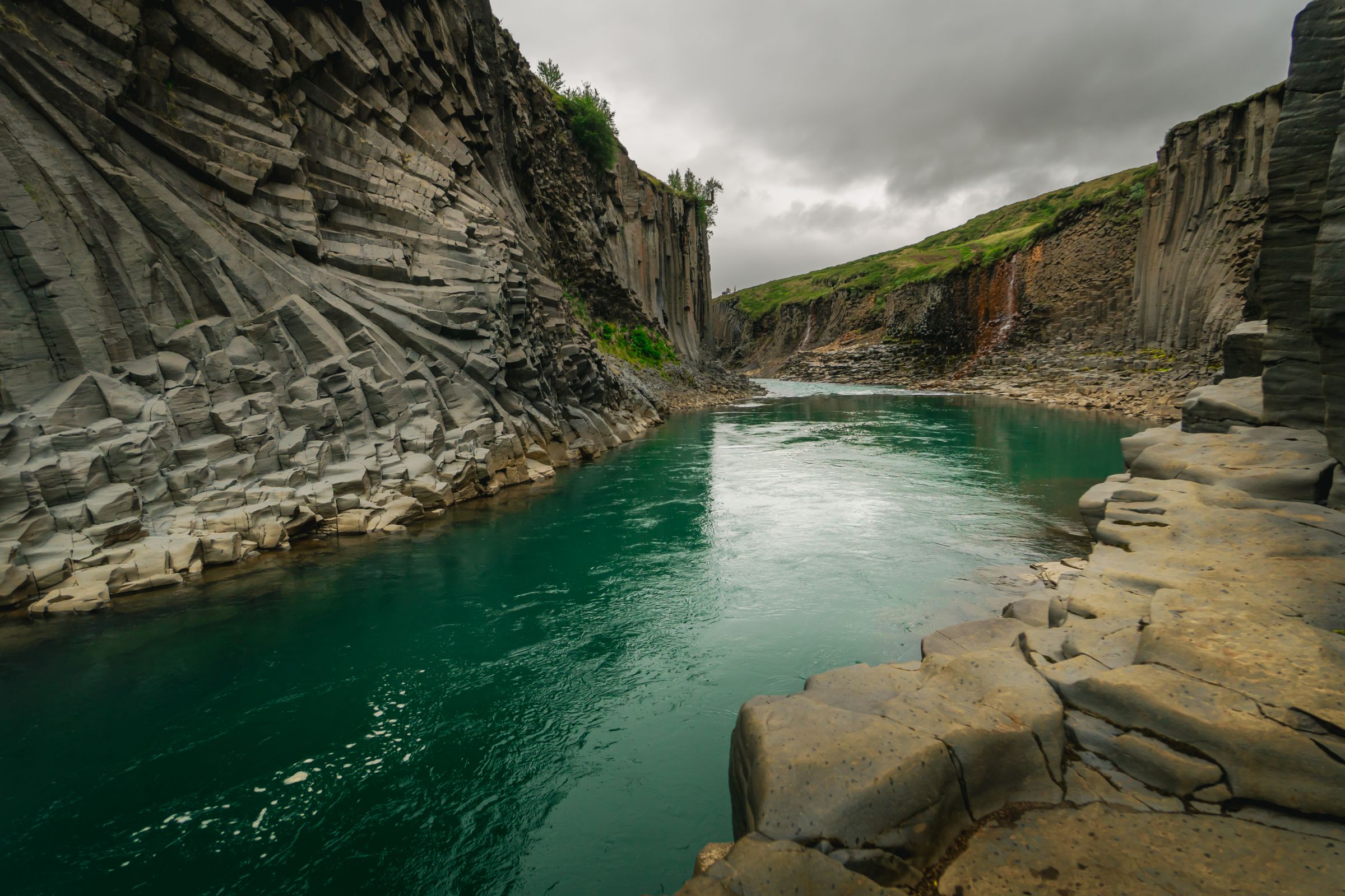
Egilsstaðir, Iceland: East Iceland's largest settlement sits on the bank of Lagarfljót where the Ring Road crosses the lake. Hengifoss.
Read the Egilsstaðir guideExplore the rest of Egilsstaðir
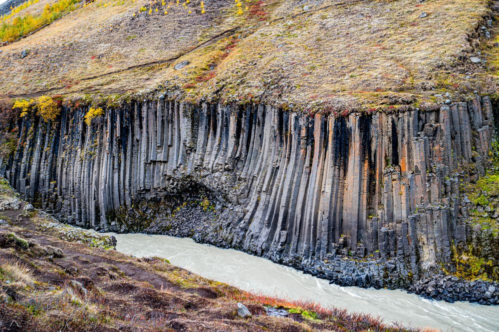
Tall basalt columns line both walls of this gorge, with a turquoise river running between them, about an hour's drive from Egilsstaðir. A…
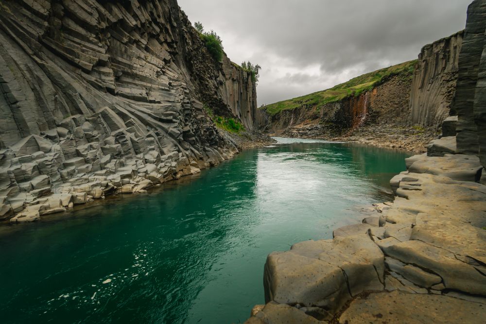
East Iceland's largest settlement sits on the bank of Lagarfljót where the Ring Road crosses the lake, and it is the service centre for the…
An orange lighthouse stands on the rocky point at Hvalnes, just off Route 1 on the drive from Höfn towards Djúpivogur, with a lagoon on one…
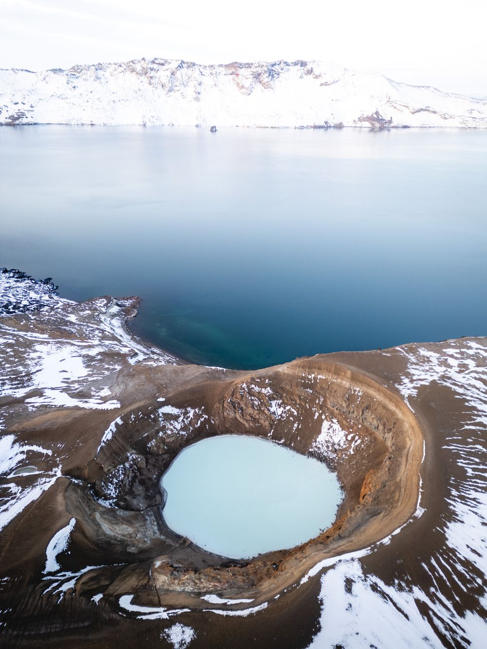
A caldera in the Dyngjufjöll mountains north of Vatnajökull, inside the national park, its floor about 1,100 metres above the sea. Inside…
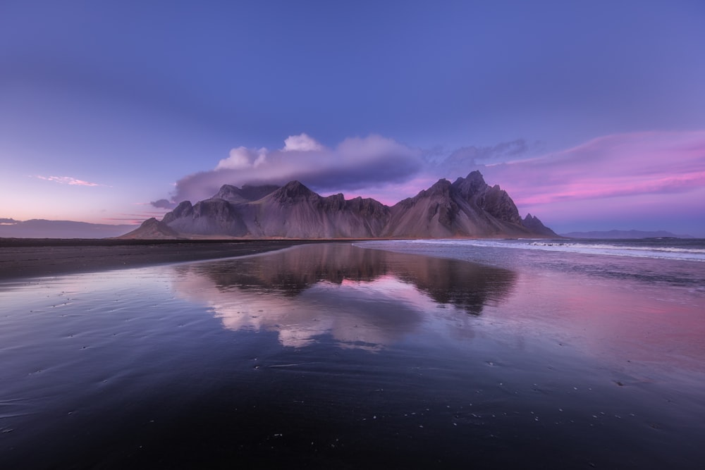
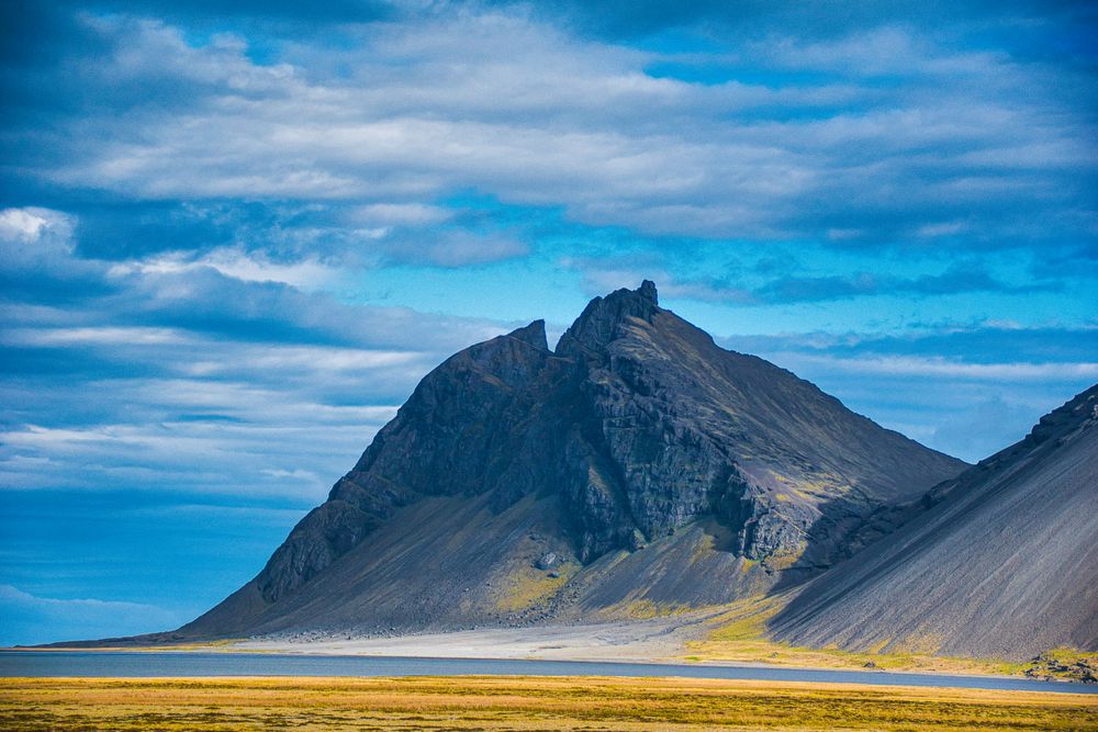
A black sand headland east of Höfn beneath Vestrahorn, a 454-metre gabbro and granophyre mountain rising straight from the shore. The land…
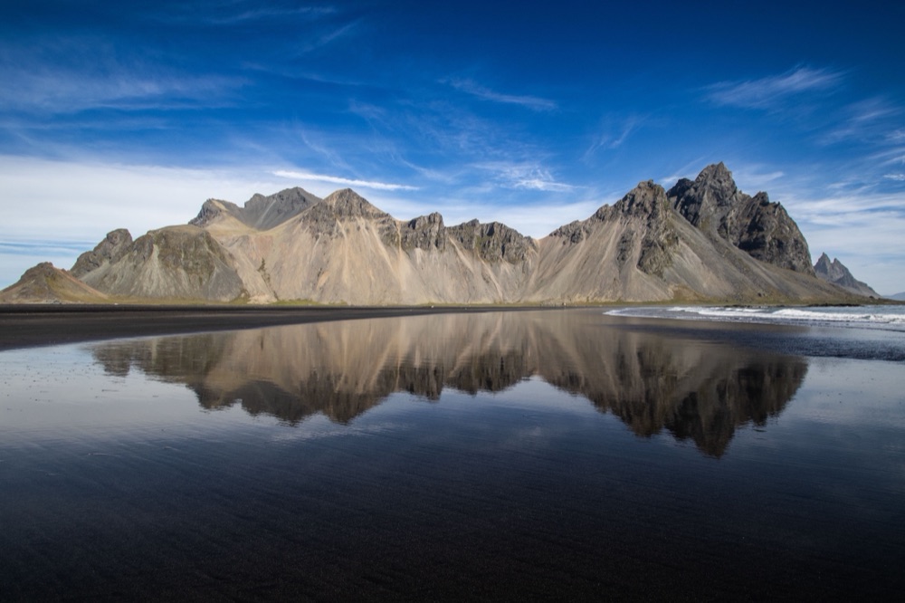
A fishing town of about 1,800 people on a low spit in Hornafjörður, roughly 455 kilometres from Reykjavík on the Ring Road and surrounded…
The Lake Hotel stands on the bank of Lagarfljót at the edge of Egilsstaðir, a short drive from the guesthouses and services that cluster…
A hotel of 66 rooms at Lindarbakki, on the Ring Road about 11 km north of Höfn, looking toward Vatnajökull. It has a restaurant and bar,…




Save Hengifoss to your Iceland trip in the Meridian Dispatch app and build the day around it, with the best of Egilsstaðir pinned on one map.
Download on the App StoreLast updated