Jökulsárlón Glacier Lagoon
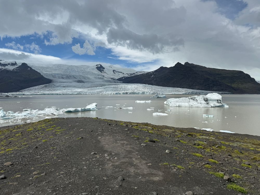
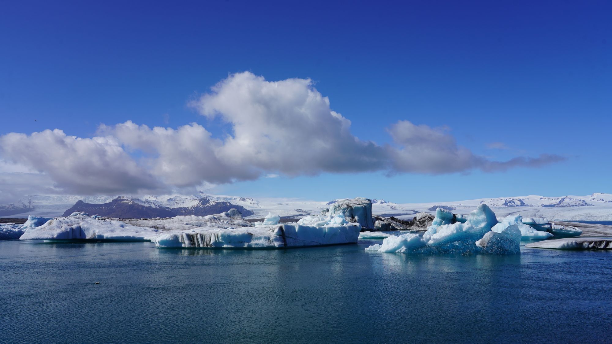
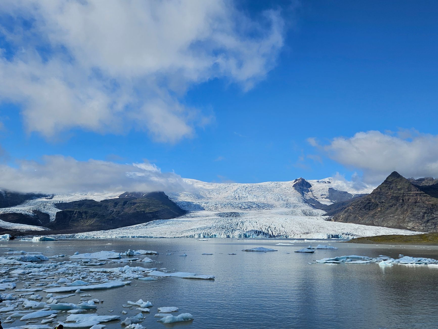
Open all year beside the ring road, the lagoon lets you watch icebergs from Breiðamerkurjökull drift across still water and slip out to the Atlantic.
Read the guide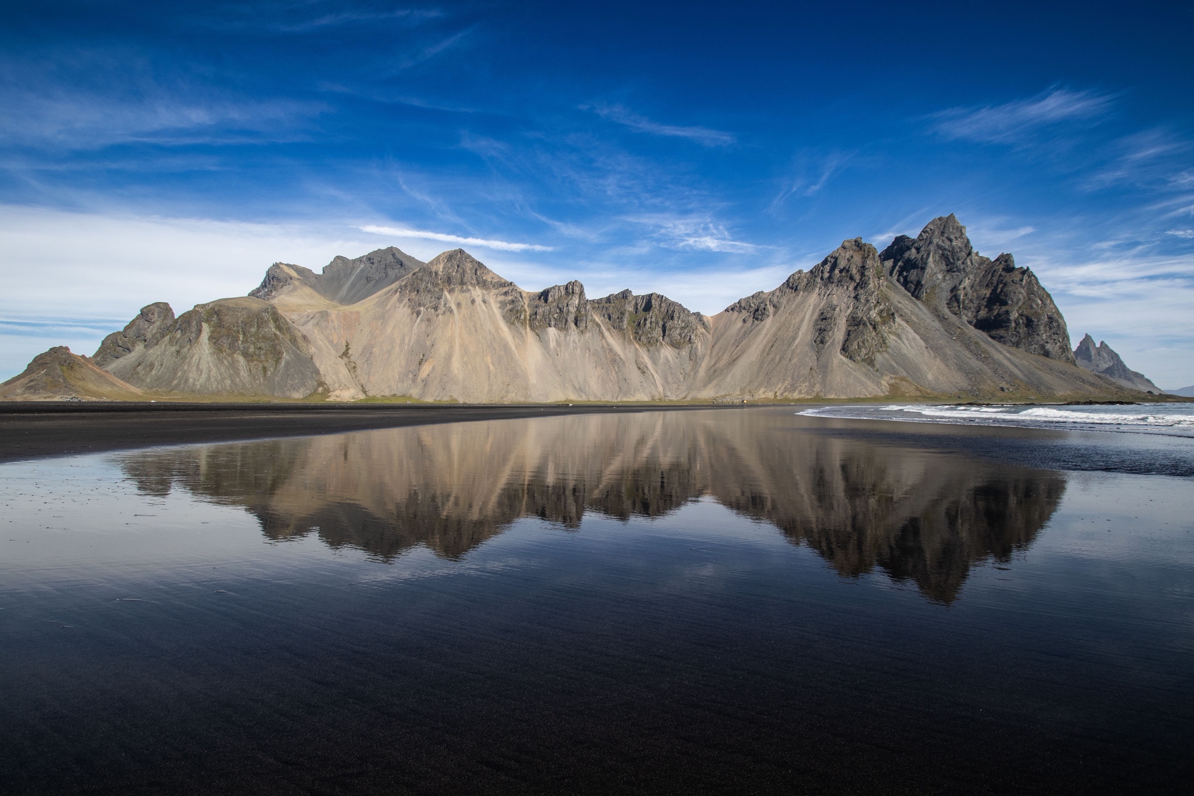
Stay two nights: eat langoustine at the harbour where the boats land it, and spend a morning on the black dunes under Vestrahorn at Stokksnes, east of town.
Town guide, Iceland. Meridian Dispatch.
Ninety seconds on Höfn
Two nights: one day east to Stokksnes and Hvalnes, one day west to Jökulsárlón and the smaller lagoons. A single night leaves time for the harbour and little else. A third night adds a spare day for weather or for Skaftafell, about 130 kilometres west.
Yes, for anything beyond the town. Every sight is on Route 1 or a short gravel spur, reached by car or on a guided tour.
June to August, for long daylight and open gravel roads; the langoustine festival, Humarhátíð, fills the town in late June. The long nights of winter bring the northern lights, and licensed guides lead tours into the ice caves on Breiðamerkurjökull.
Icelandic. English is widely spoken, including at the park visitor centre by the harbour.
The Icelandic króna. Cards are accepted almost everywhere, petrol stations and hotels included, so very little cash is needed.
Hornafjörður (HFN), about 10 km north of town, for flights from Reykjavík's domestic airport. From abroad, fly into Keflavík (KEF) and drive east along the south coast. Egilsstaðir (EGS) in the east serves a trip that comes down through the Eastfjords.
Stay in Höfn for the mountains east of town and the glacier lagoons to the west. If Skaftafell is the point of the trip, sleep in Kirkjubæjarklaustur instead.
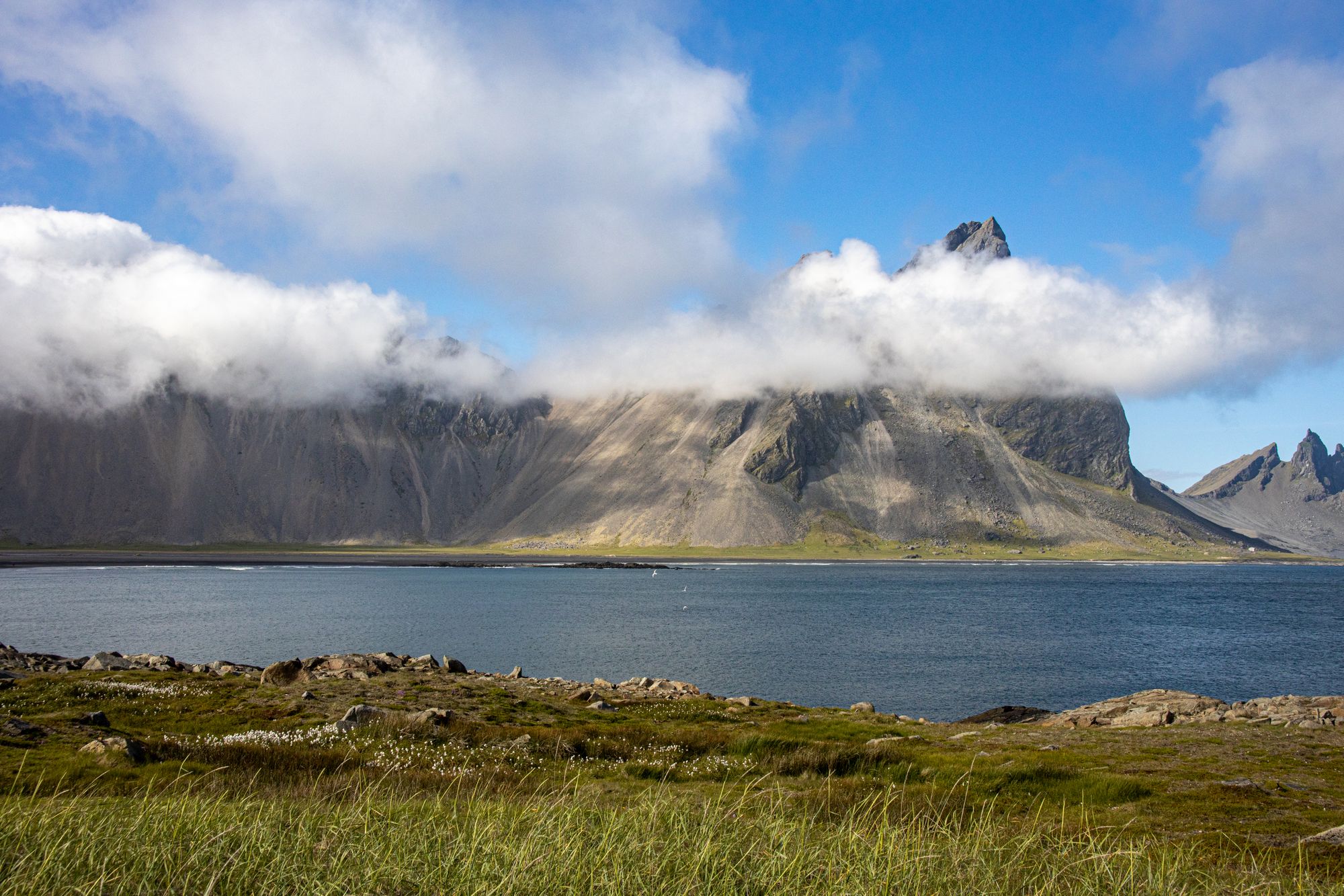
Höfn is a fishing town on a spit in Hornafjörður, with the harbour, a geothermal pool and a pond loop on foot. Its sights lie along Route 1 on both sides: mountains above black sand to the east, and Vatnajökull's glacier lagoons and Skaftafell to the west, 30 to 130 km away.
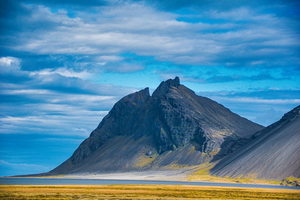
454 m
Höfn's hotels and guesthouses stand on the peninsula around the harbour, so the restaurants, the pool and Ósland are a walk from any of them. Farm stays along Route 1 west of town sit closer to the lagoons.
 12 km from Höfn Harbour
 In Kirkjubæjarklaustur
Grouped by direction and by what you do: the town, the coast east, the lagoons and Skaftafell west, and the ice.
The harbour, the pool and Ósland are on foot in town. Everything else is a drive on Route 1, east to the mountains or west to the glaciers.
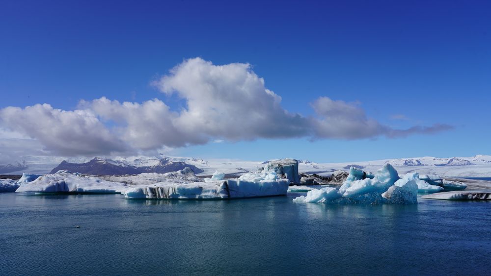

Open all year beside the ring road, the lagoon lets you watch icebergs from Breiðamerkurjökull drift across still water and slip out to the Atlantic.
Read the guide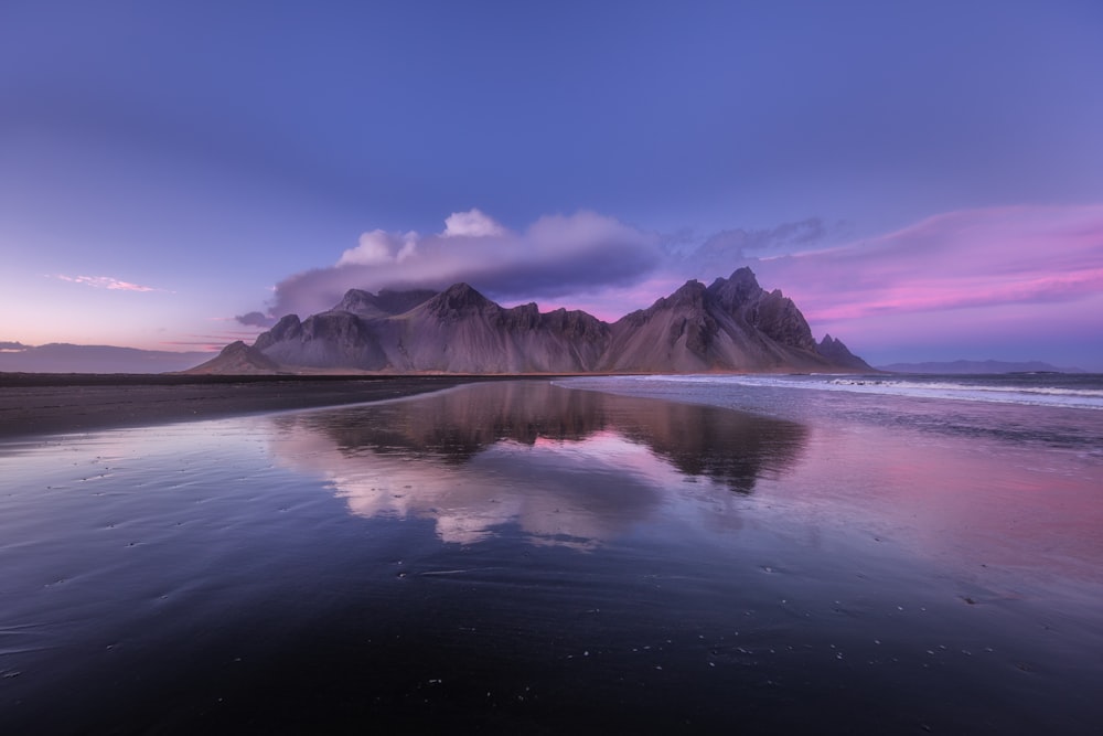
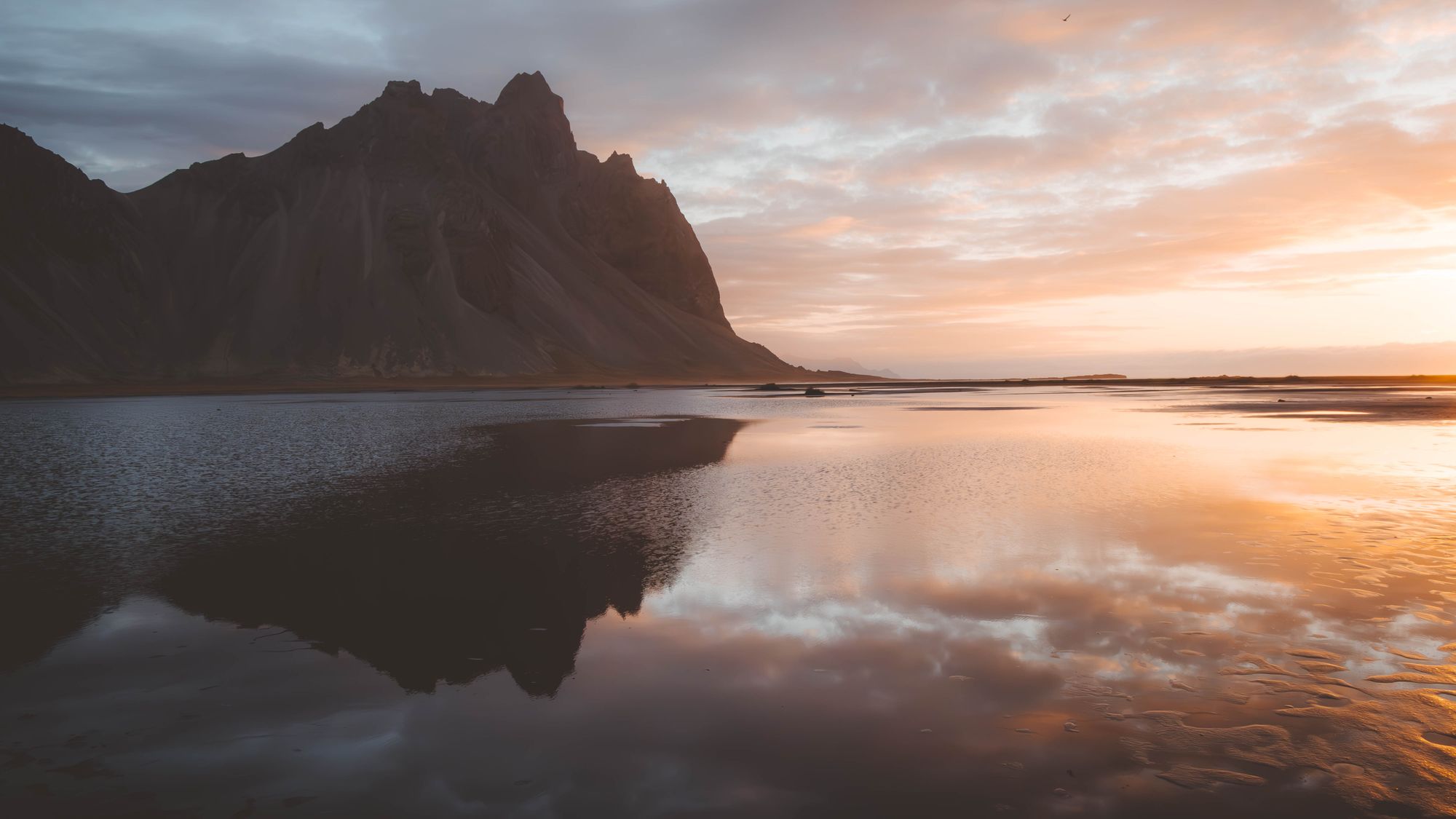
From mid-tide down to low water, the wet sand at Stokksnes holds shallow pools, and you see Vestrahorn's serrated ridge reflected in them.
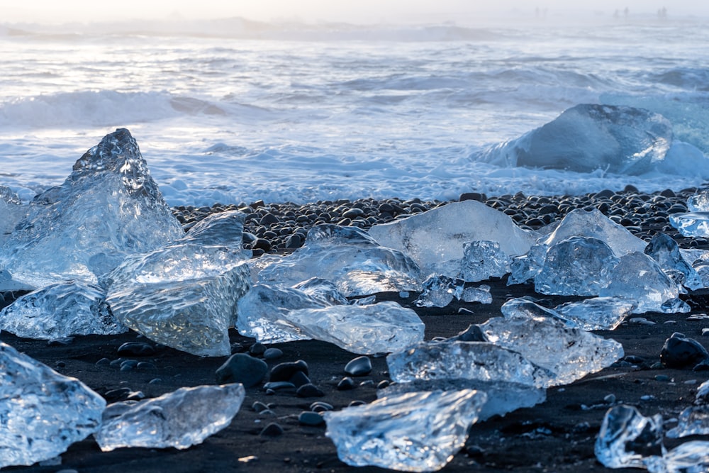
Read the guideStopping on the sea side of Route 1, across from Jökulsárlón, puts you on black sand where the lagoon's icebergs wash up: clear and blue blocks of ice you can walk between, at the water's edge.
Read the guide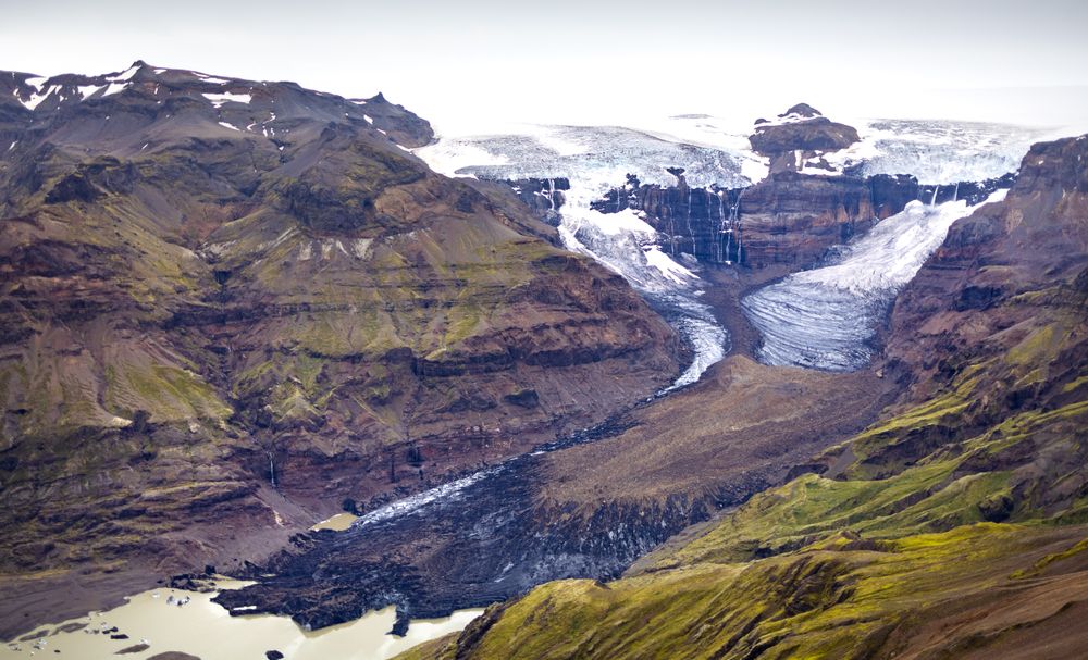
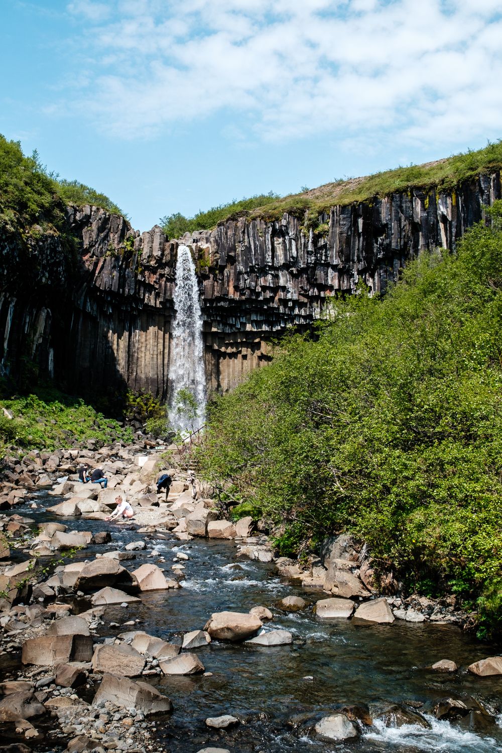
Half a day is enough for you to walk to the end of a glacier, a waterfall framed in basalt and a lookout high above the ice, all on trails from one visitor centre.
Read the guideWalk the full loop rather than going to the falls and back. It adds only half an hour, and takes you over Sjónarsker, the high point, and past an old turf farm on the way down.
Read the guideStanding on the black pebble spit at Hvalnes, you have an orange lighthouse in front of you and the sheer gabbro wall of Eystrahorn straight behind it.
Read the guideFjallsjökull runs down almost to the shore of this lagoon, much closer than the glacier at Jökulsárlón, and on a still day you can stand at the water and hear the ice crack.
Read the guide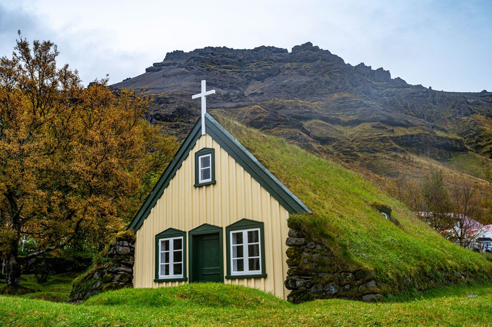
Hofskirkja is a church still in use under a grass roof, its stone walls partly sunk into the ground. It stands just off the Ring Road east of Skaftafell.
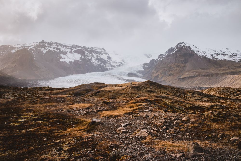
Read the guideA certified guide and a full set of ice gear get you onto a moving glacier among crevasses and blue ice, with no climbing experience needed. Book a tour from Skaftafell before you drive out: the national park advises a guide on the ice.
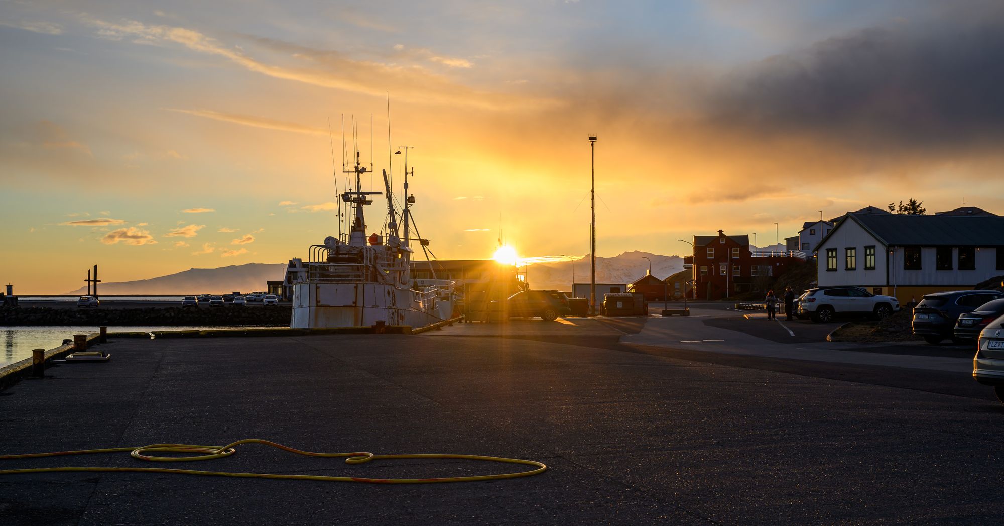
Read the guideThe fishing boats tie up at this quay, and the seafood restaurants stand within sight of it. In summer the busiest take no bookings, so expect a wait for a table.
Geothermal water heats the town's outdoor pool, with slides, hot tubs, a cold plunge and a sauna. Shower without a swimsuit before you get in, as at every pool in Iceland.
A loop round the ponds on the headland south of the harbour. Arctic terns nest here in early summer and dive at walkers who leave the path, so keep to it.
Geothermal tubs in a row under a cliff at the farm of Hoffell, below the Hoffellsjökull glacier: about 20 km from town, west on Route 1 and then north up Route 984. The last stretch of road is unpaved; pay at the reception on site.
Rhyolite mountains and canyons lie behind the farm of Stafafell, east of town, and a gravel road on the east bank of the Jökulsá reaches the Hvannagil canyon, about 7 km in, where a day's walk starts. The deeper valleys lie up F980, an F-road open only to four-wheel drives and only in summer. Leave a route plan at safetravel.is before you set out.
A small lagoon below the snout of Heinabergsjökull, at the end of a gravel spur off Route 1 west of town. In summer, guided kayak tours paddle out among the floes.
A loop of about five kilometres from the Haukafell campsite crosses a footbridge and climbs to the edge of Fláajökull's lagoon. Road 986 to the trailhead, about 30 km west of town, is a dirt track, fine for most cars in summer.
The blue caves under Breiðamerkurjökull are entered only with a licensed guide, from about October to April. Tours meet at Jökulsárlón, and a warm spell or heavy rain can cancel one on the day.
The harbour, the pool and the pond loop at Ósland are a walk apart; Hoffell's hot tubs are a drive west, then north up Route 984.
The fishing boats tie up at this quay, and the seafood restaurants stand within sight of it. In summer the busiest take no bookings, so expect a wait for a table.
Geothermal water heats the town's outdoor pool, with slides, hot tubs, a cold plunge and a sauna. Shower without a swimsuit before you get in, as at every pool in Iceland.
A loop round the ponds on the headland south of the harbour. Arctic terns nest here in early summer and dive at walkers who leave the path, so keep to it.
Geothermal tubs in a row under a cliff at the farm of Hoffell, below the Hoffellsjökull glacier: about 20 km from town, west on Route 1 and then north up Route 984. The last stretch of road is unpaved; pay at the reception on site.
Stokksnes is off Route 1 about 8 km east, and Hvalnes about 50 km; Lónsöræfi's rhyolite valleys take a separate day on foot.
From mid-tide down to low water, the wet sand at Stokksnes holds shallow pools, and you see Vestrahorn's serrated ridge reflected in them.
Read the guideStanding on the black pebble spit at Hvalnes, you have an orange lighthouse in front of you and the sheer gabbro wall of Eystrahorn straight behind it.
Read the guideRhyolite mountains and canyons lie behind the farm of Stafafell, east of town, and a gravel road on the east bank of the Jökulsá reaches the Hvannagil canyon, about 7 km in, where a day's walk starts. The deeper valleys lie up F980, an F-road open only to four-wheel drives and only in summer. Leave a route plan at safetravel.is before you set out.
The Fláajökull loop, about 5 km, starts from a trailhead 30 km west.
Open all year beside the ring road, the lagoon lets you watch icebergs from Breiðamerkurjökull drift across still water and slip out to the Atlantic.
Read the guideFjallsjökull runs down almost to the shore of this lagoon, much closer than the glacier at Jökulsárlón, and on a still day you can stand at the water and hear the ice crack.
Read the guideA small lagoon below the snout of Heinabergsjökull, at the end of a gravel spur off Route 1 west of town. In summer, guided kayak tours paddle out among the floes.
A loop of about five kilometres from the Haukafell campsite crosses a footbridge and climbs to the edge of Fláajökull's lagoon. Road 986 to the trailhead, about 30 km west of town, is a dirt track, fine for most cars in summer.
Diamond Beach is across Route 1 from Jökulsárlón; Stokksnes and Hvalnes are east of town.
From mid-tide down to low water, the wet sand at Stokksnes holds shallow pools, and you see Vestrahorn's serrated ridge reflected in them.
Read the guideStopping on the sea side of Route 1, across from Jökulsárlón, puts you on black sand where the lagoon's icebergs wash up: clear and blue blocks of ice you can walk between, at the water's edge.
Read the guideStanding on the black pebble spit at Hvalnes, you have an orange lighthouse in front of you and the sheer gabbro wall of Eystrahorn straight behind it.
Read the guideThe visitor centre at Skaftafell is the start for the Svartifoss loop and the guided Falljökull walks.
Half a day is enough for you to walk to the end of a glacier, a waterfall framed in basalt and a lookout high above the ice, all on trails from one visitor centre.
Read the guideWalk the full loop rather than going to the falls and back. It adds only half an hour, and takes you over Sjónarsker, the high point, and past an old turf farm on the way down.
Read the guideHofskirkja is a church still in use under a grass roof, its stone walls partly sunk into the ground. It stands just off the Ring Road east of Skaftafell.
Read the guideA certified guide and a full set of ice gear get you onto a moving glacier among crevasses and blue ice, with no climbing experience needed. Book a tour from Skaftafell before you drive out: the national park advises a guide on the ice.
Read the guideIce caves with a licensed guide from about October to April, glacier walks on Falljökull, and summer kayaks on Heinabergslón.
A certified guide and a full set of ice gear get you onto a moving glacier among crevasses and blue ice, with no climbing experience needed. Book a tour from Skaftafell before you drive out: the national park advises a guide on the ice.
Read the guideA small lagoon below the snout of Heinabergsjökull, at the end of a gravel spur off Route 1 west of town. In summer, guided kayak tours paddle out among the floes.
The blue caves under Breiðamerkurjökull are entered only with a licensed guide, from about October to April. Tours meet at Jökulsárlón, and a warm spell or heavy rain can cancel one on the day.
Start at Stokksnes: turn off Route 1 about 8 km east of town and follow the gravel road to the gate. Buy the ticket at the Viking Café, or at the self-service kiosk outside when the café is shut, then drive on to the beach car parks. Allow about an hour and a quarter on foot, out through the dunes to the sand under Vestrahorn and back.
Carry on east to Hvalnes, about 50 km and 45 minutes from town, where an orange lighthouse stands on a pebble spit under Eystrahorn. The turn-off is unsigned and on a sharp bend, so slow down when you see the tower.
Back in town, the national park visitor centre in Gamlabúð, the old store on the harbour, has staff who give the road conditions west. Walk the pond loop at Ósland in the evening, then eat at the harbour or sit in the hot tubs at the town pool.
Give the next day to the west. Jökulsárlón is about 65 km away on Route 1, with Diamond Beach on the sea side of the road and Fjallsárlón about 10 km further west. One parking payment covers the lagoon and both beach car parks until midnight.
With a third day, go on to Skaftafell. The loop to Svartifoss starts at the visitor centre, 5.8 km and about two hours, and the guided walks on Falljökull set out from there too. Hofskirkja, the turf-roofed church at Hof, is about 20 km short of it on the way back.
From November to March, check the road report at umferdin.is and the forecast at vedur.is before each drive. Storms can close Route 1 on the sands west of Jökulsárlón and on the coast to the east.
Hornafjörður airport, north of town, takes domestic flights from Reykjavík's city airport, about an hour in the air. From abroad you arrive at Keflavík, about 480 km west by road.
Car hire desks are in the small terminal building. Book the car when you book the flight, so it is ready when you land.
Icelandair flies to Hornafjörður from Reykjavík's domestic airport, not from Keflavík. Check the days on the airline's timetable, because they change with the season.
Strætó route 52 runs between Reykjavík and Höfn four days a week along the south coast, stopping at Skaftafell and Jökulsárlón. Check the times at straeto.is, and hire a car for Stokksnes, Hvalnes and the side roads.
Every Iceland town, place and dispatch, on one map.

East Iceland's largest settlement sits on the bank of Lagarfljót where the Ring Road crosses the lake.

You walk up a gorge to a cliff striped in red clay between black lava beds, with Hengifoss falling down its face.

The last fuel, food and bed on the Ring Road between Vík and Skaftafell.

Take the east-side trail from Klaustursel and you come down close to the river between walls of six-sided basalt.
The official pages this guide was checked against.
Last updated