
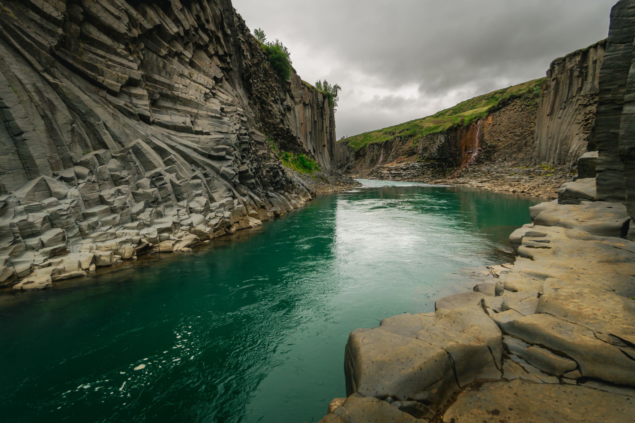
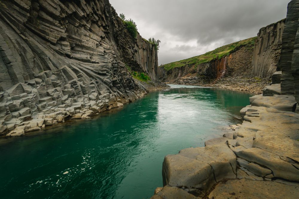
Take the east-side trail from Klaustursel and you come down close to the river between walls of six-sided basalt, one of Iceland's largest collections of basalt columns on land.
Canyon, Egilsstaðir. Meridian Dispatch.
The river is usually at its most blue-green in late June and July, but the colour depends on weather and water levels. Snowmelt in spring and overflow from the Hálslón reservoir upstream, most common from August to October, can turn it grey-brown. No month guarantees a particular colour.
The drive takes about an hour. From Egilsstaðir, follow Route 1 (the Ring Road); the turn south onto gravel Route 923 comes just west of Skjöldólfsstaðir, a small settlement with a guesthouse and a fuel pump. Signs for Stuðlagil mark the way from there.
Route 923 is a gravel road open all year, but winter access may be difficult in snowy or stormy conditions. Check road openings and conditions on road.is before setting out. At Grund, the parking fee includes snow clearing of the car park.
Yes, parking is paid at both Grund and Klaustursel: scan the QR code by the path and pay in the Parka app within 24 hours of leaving. Toilets are at Grund only, covered by its parking fee, with none on the east side. The Klaustursel car park is open around the clock, but staying overnight there is strictly forbidden.
No. The stairs at Grund end at viewing platforms above the gorge, and there is no way down into the canyon from that side. Only the walk on the east bank, starting from Klaustursel, leads down closer to the river.
The Kárahnjúkar Dam upstream sent much of Jökla into a tunnel for power. With the river running lower, the basalt columns it had long covered came into view along both walls of the gorge.
Stuðlagil is a narrow gorge on the glacial river Jökla in Efri-Jökuldalur, East Iceland. Its walls are built of tall six-sided columns, which formed as thick lava flows cooled slowly and contracted.
The name describes the view: stuðlaberg is Icelandic for basalt column, and gil means ravine. The columns tower on both sides of the river. When Jökla runs clear, the water shows blue-green against the dark rock.
On the east side the trail passes Stuðlafoss, a waterfall framed by more columns and named for them. From the platforms you look down onto the columns; from the east trail you stand closer to the water, with the walls above you.
Leave the Ring Road on Route 923, then pick one of two farms.
Grund, on the west side, is about 19 kilometres down 923. From its car park a walk of about five minutes brings you to stairs and viewing platforms looking down into the gorge.
Klaustursel, about 14 kilometres down the same road, is the start for the east side. Its lower car park gives a hike of about 10 kilometres return. To halve that, cross the bridge by the farmhouse and drive about 2.5 kilometres on to the newer car park near Stuðlafoss.
From that second car park the trail runs about 2.5 kilometres each way, past the waterfall. It then leads down on the marked trail, closer to the river and the canyon walls.
Wear footwear with a good grip, because rocks and steps in the canyon turn slippery when wet and the ground is steep and uneven. Stay behind signs and barriers, and back from edges, even when a better photograph seems close.
A campsite by the canyon opens from May to October, with toilets and showers, and a food truck sells light refreshments from May to September. Campers park free at Grund once they register their number plate. If you have time, see both sides.
Egilsstaðir, Iceland: East Iceland's largest settlement sits on the bank of Lagarfljót where the Ring Road crosses the lake. Hengifoss.
Read the Egilsstaðir guideExplore the rest of Egilsstaðir
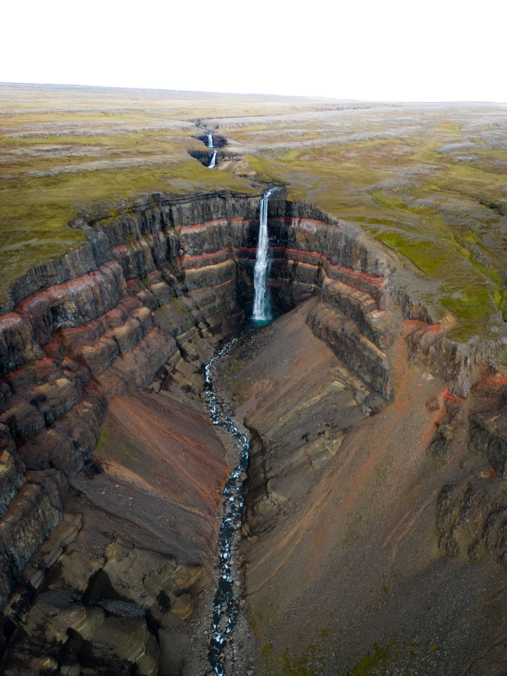
Dropping 128 metres down a gorge wall striped red and black, Hengifoss is among the tallest waterfalls in Iceland. The trail starts at the…
East Iceland's largest settlement sits on the bank of Lagarfljót where the Ring Road crosses the lake, and it is the service centre for the…
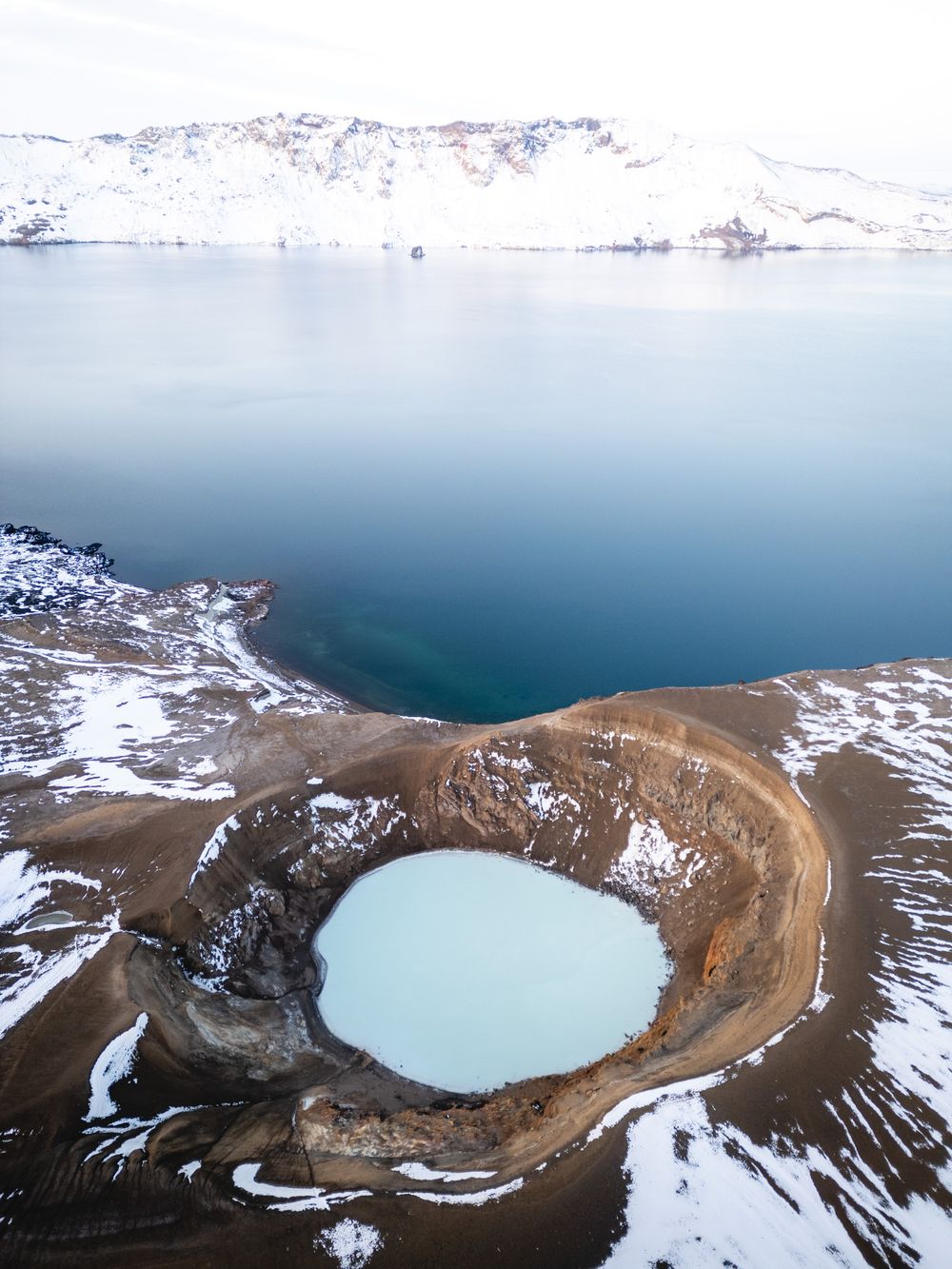
A caldera in the Dyngjufjöll mountains north of Vatnajökull, inside the national park, its floor about 1,100 metres above the sea. Inside…
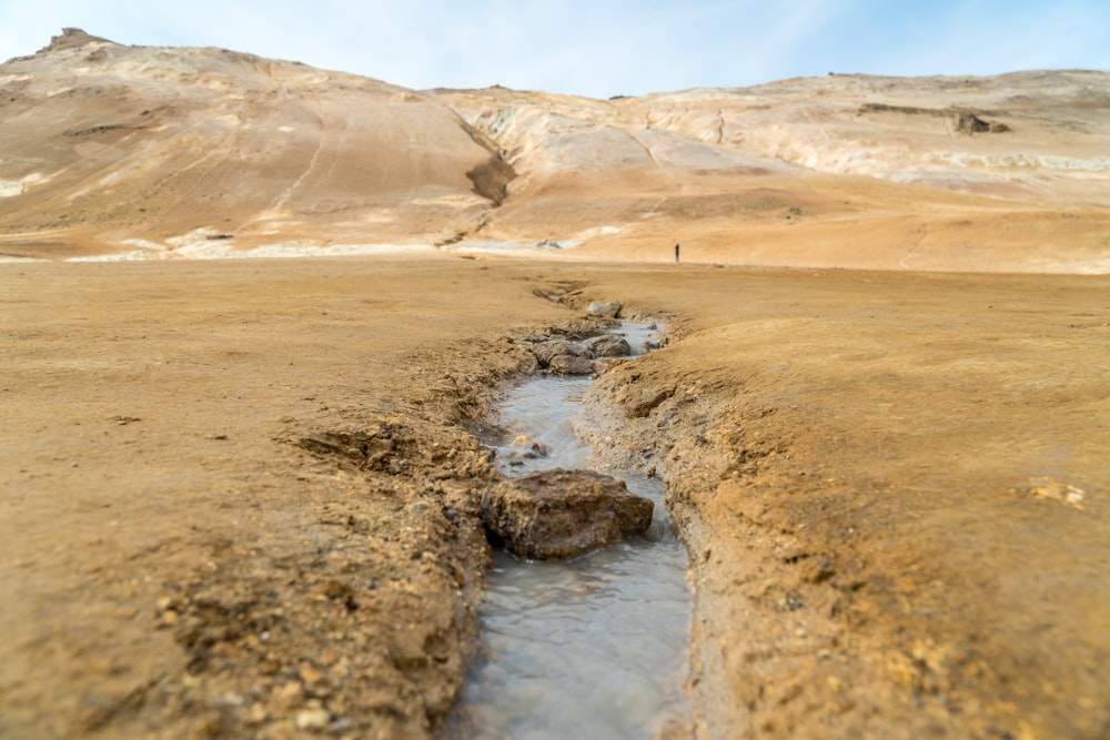
A field of steam vents, boiling grey mud pots and sulphur crusts below Námafjall, just east of Mývatn on the main road. Keep inside the…
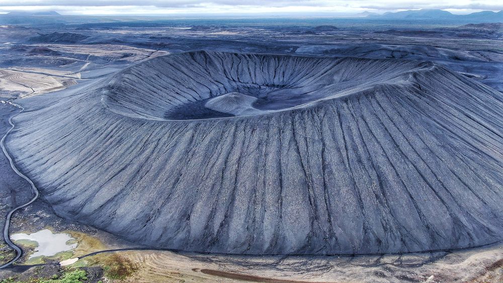
A black ring of loose tephra rises east of Mývatn, with a steep climb from the car park and a level walk round the rim. From the top you…
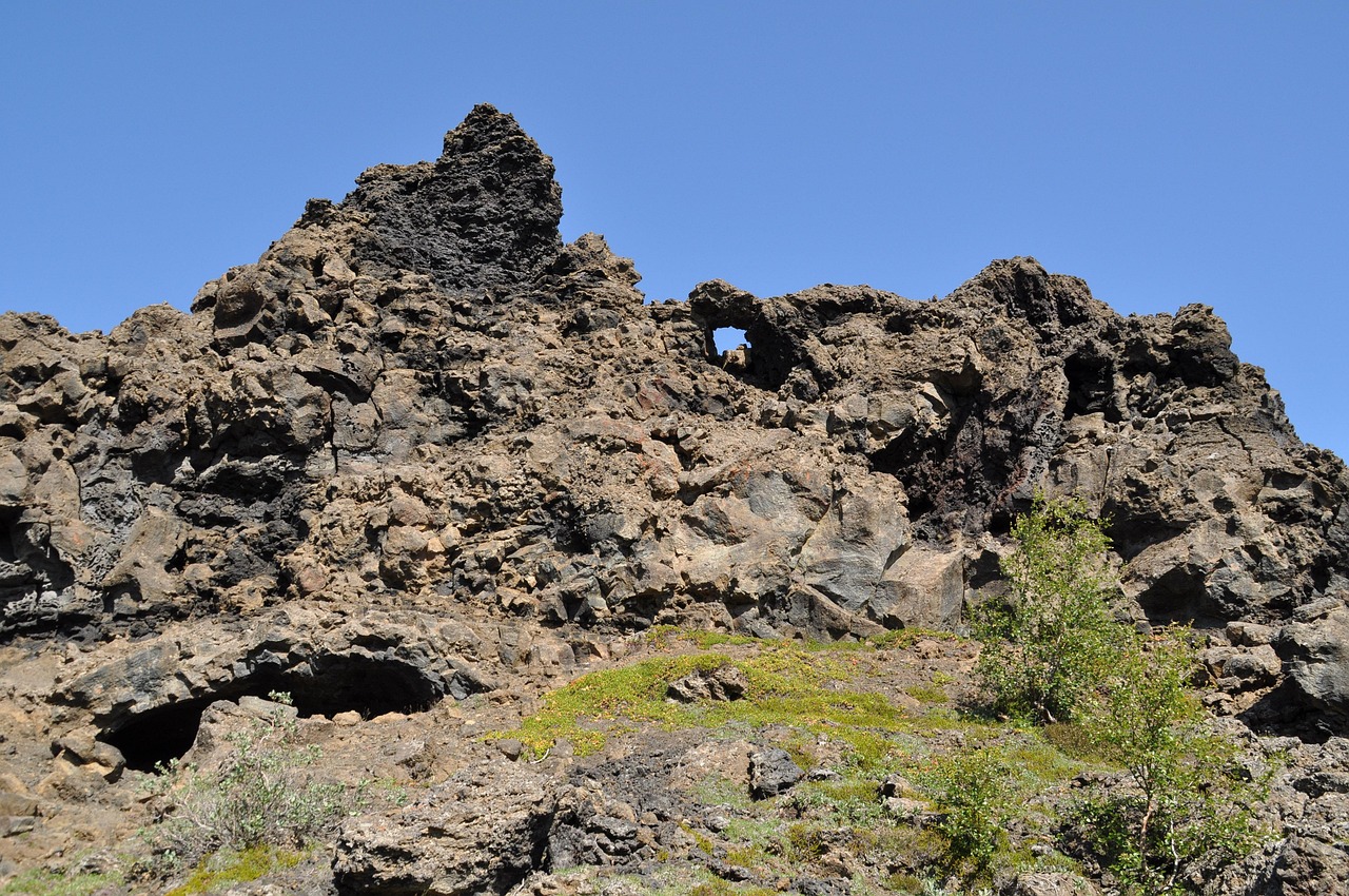
A field of lava towers, arches, caves and chambers on Mývatn's east shore. Marked loops start from the car park; the red Church Circle…
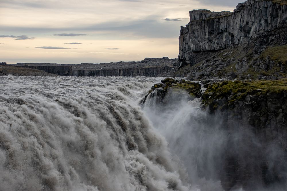
Jökulsá á Fjöllum falls 44 metres over a lip 100 metres wide, carrying an average 193 cubic metres a second of grey, sediment loaded…
The Lake Hotel stands on the bank of Lagarfljót at the edge of Egilsstaðir, a short drive from the guesthouses and services that cluster…




Save Stuðlagil Canyon to your Iceland trip in the Meridian Dispatch app and build the day around it, with the best of Egilsstaðir pinned on one map.
Download on the App StoreLast updated