Four falls, a viewpoint and a turf farm in one loop
The whole loop takes about two hours, not much longer than the falls and back, and it adds Sjónarsker, the high point, and a turf farm on the long way down.
The line is the park's own GPS-measured route for the S2. Heights are from a terrain model, so treat them as a shape rather than a survey: in the shaded stretch the model cannot see the drop into the ravine to the footbridge and the climb out up the basalt steps, which is why it adds up to 211 m against the park's 250.
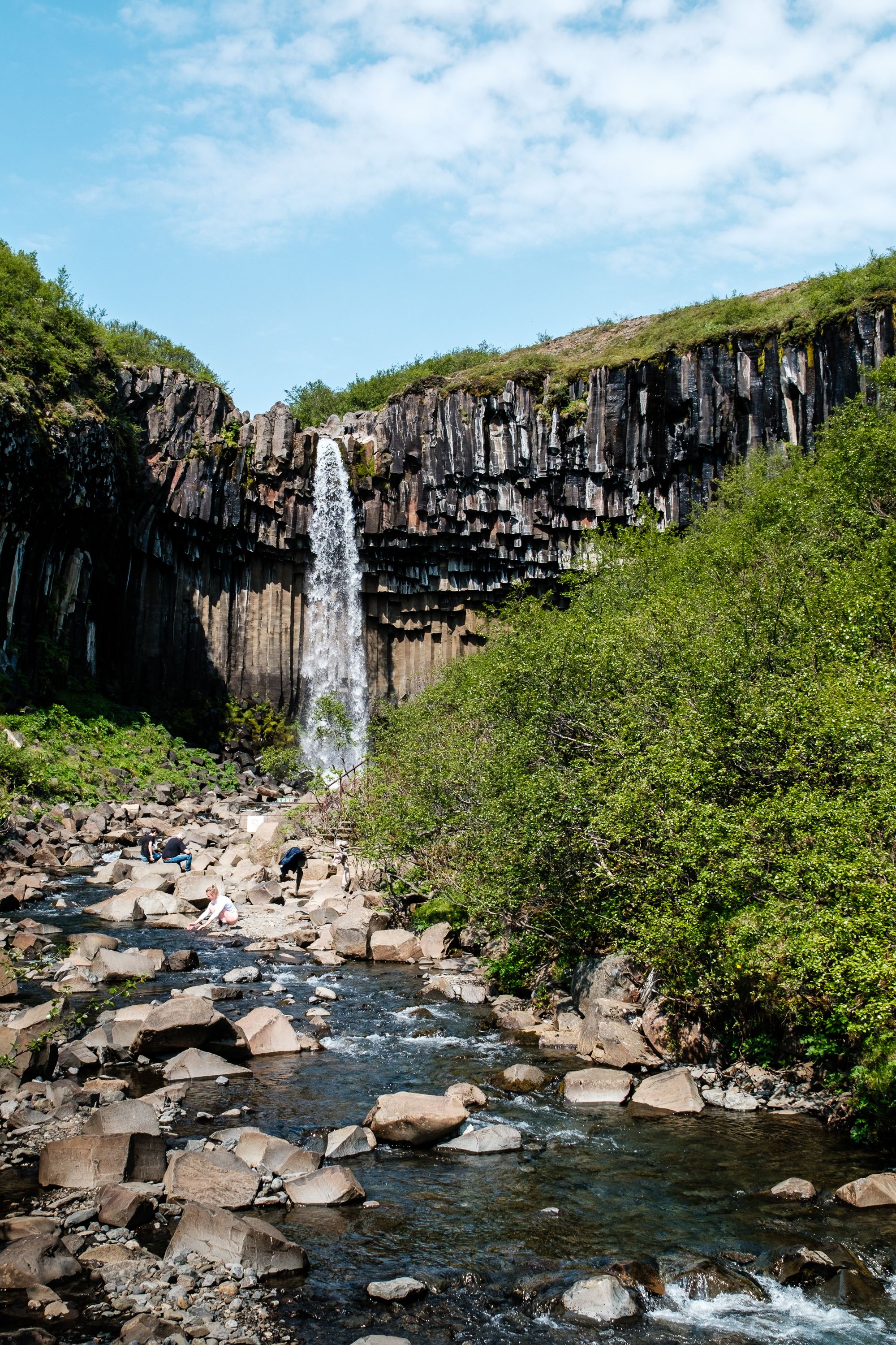
From the lookout above the ravine, the first sight of Svartifoss can disappoint. The walk down changes that: the path drops to a footbridge facing the fall, the spot photographers claim for long exposures, and the dark columns fill the view behind it.
Across the bridge, steps set into the basalt climb the far side of the ravine, and the loop carries on to the Sjónarsker viewpoint, the highest point of the walk. The way down passes the old turf house at Sel and comes home through the Lambhagi pastures.
Guðjón Samúelsson drew on columns like these for Hallgrímskirkja in Reykjavík.
Packed soil or mats almost all the way, usually wide enough for two or three abreast. The climbing comes in two pulls, the first straight out of the campground to the lookout, the second up the steps on the far side of the footbridge, with wooden and stone steps on the way. In a wet summer the surface turns slippery; in winter it can be icy or under snow.
The park around the trailhead, and the two glacier lagoons east along Route 1
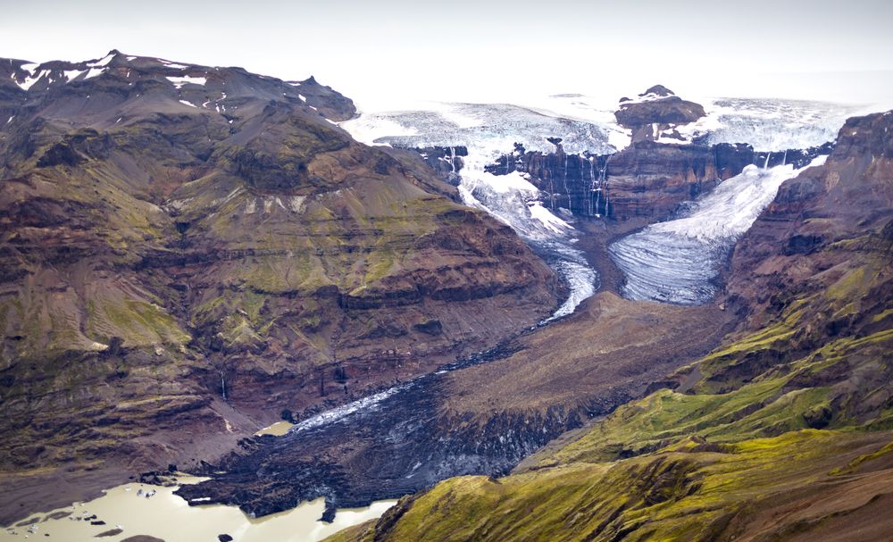
A wooded moraine bench between the Skeiðarársandur outwash plain and the Vatnajökull ice cap. It was a national park in its own right from…
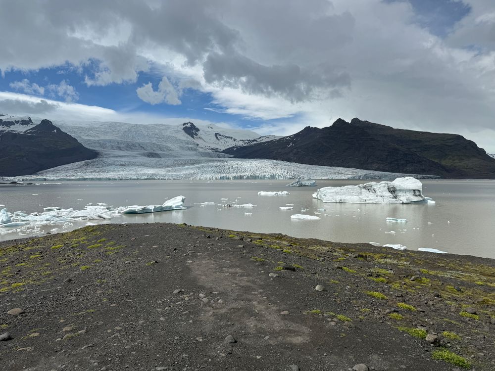
A lagoon of about 4 square kilometres below Fjallsjökull, roughly 10 kilometres west of Jökulsárlón, with the Öræfajökull volcano above it.…
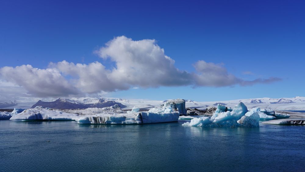
A proglacial lagoon of about 25 square kilometres that began forming in the 1930s as Breiðamerkurjökull retreated. At over 280 metres it…