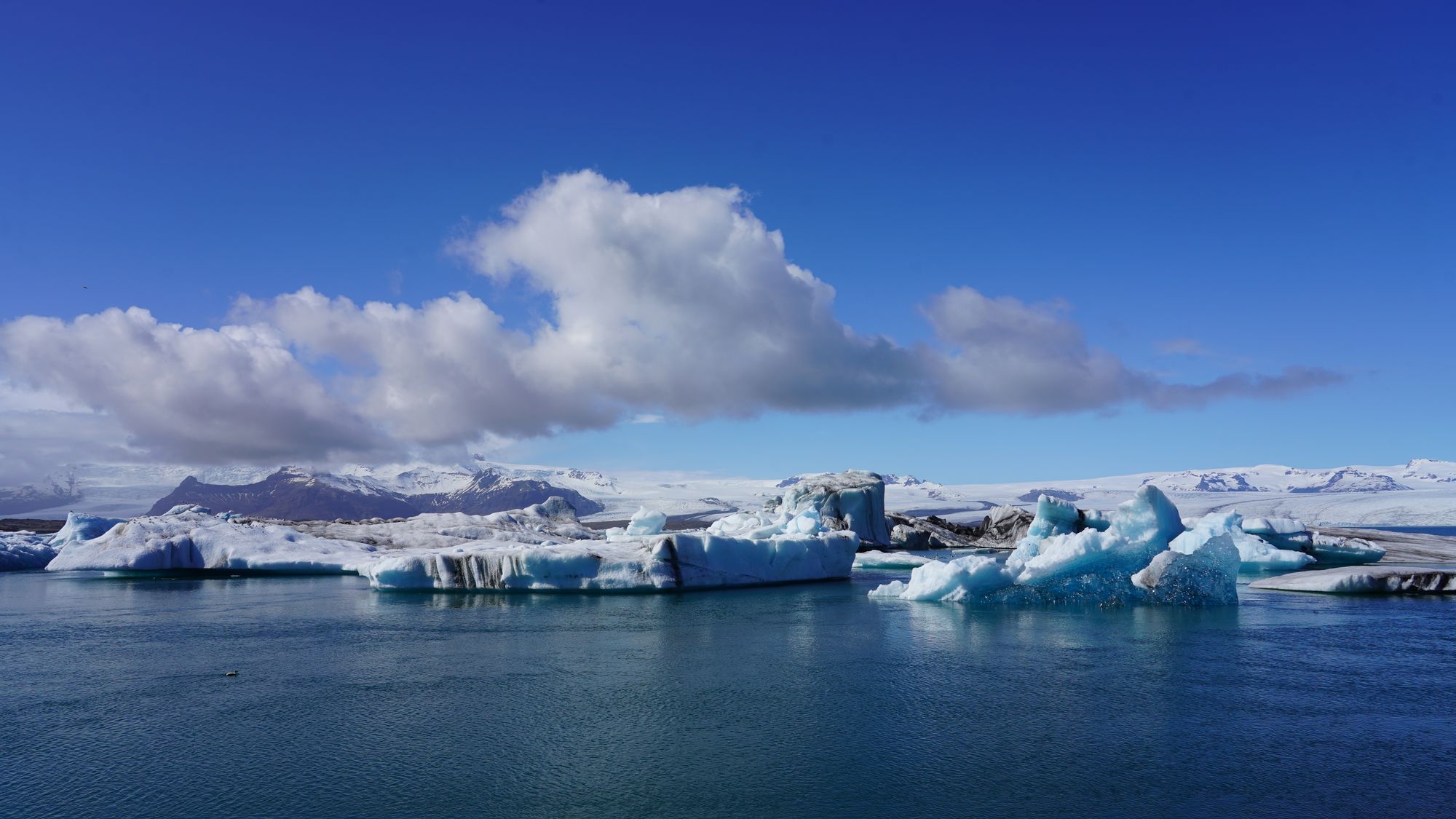
A proglacial lagoon of about 25 square kilometres that began forming in the 1930s as Breiðamerkurjökull retreated. At over 280 metres it holds the deepest water in Iceland, and ice calved from the glacier front drifts towards the sea.
The clearest place in the country to watch a retreating glacier at work, with its ice drifting within metres of the road.
Vatnajökull National Park was created on 7 June 2008 by folding the older Skaftafell and Jökulsárgljúfur parks into the ice cap between them. It covers about 15,000 square kilometres, around 14 per cent of Iceland, and UNESCO inscribed it in 2019 under the criterion for ongoing geological processes, as a dynamic landscape of fire and ice: the listing is, in plain terms, for instability. The ice cap ran to roughly 7,500 square kilometres at the park's own 2023 measurement, is shrinking, and sits over some of the most active volcanic systems in the country. The park comes in four administrative areas: Southern (Skaftafell, Öræfajökull, Jökulsárlón), Western (the Laki craters and Langisjór), Northern (Jökulsárgljúfur, Dettifoss, Ásbyrgi, Askja) and Eastern (Kverkfjöll, Snæfell). Skaftafell and Askja are hundreds of kilometres apart and do not share a season.

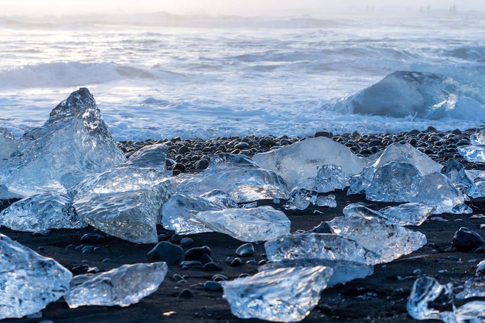
The black sand of Breiðamerkursandur at the mouth of the Jökulsárlón outlet, where icebergs carried out to sea are thrown back onto the…
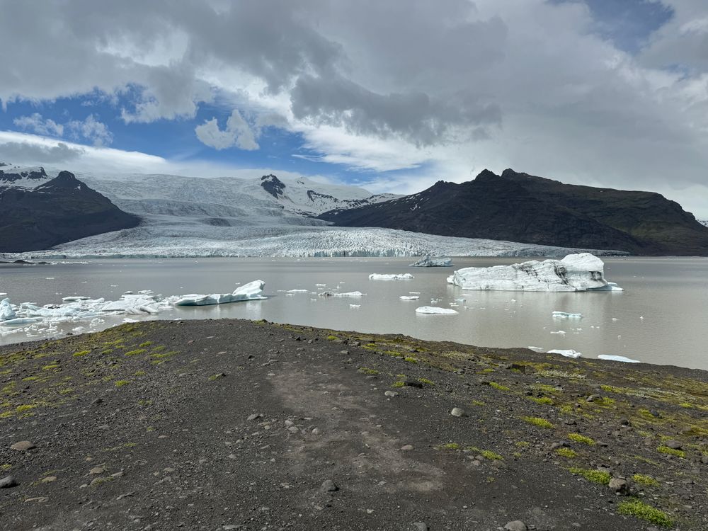
A lagoon of about 4 square kilometres below Fjallsjökull, roughly 10 kilometres west of Jökulsárlón, with the Öræfajökull volcano above it.…
A turf roofed church at Hof in Öræfi, built in 1884 by the carpenter Páll Pálsson, 9.8 metres long and 4.5 metres wide, with a timber frame…
Every other travel app asks you to start logging. Meridian Dispatch opens with years of your travel already written, from the photographs you already took.