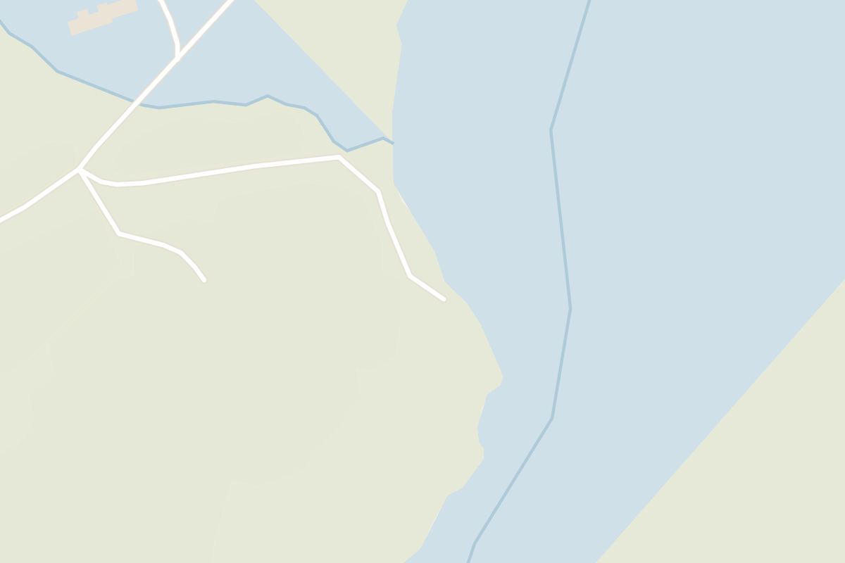
You get the heaviest flow of any fall in Iceland here, the Þjórsá spreading across a low, broad ledge, on one of the quieter stops off the Ring Road.
Waterfall, Selfoss. Meridian Dispatch.
Urriðafoss lies on the Þjórsá in South Iceland, about 5 minutes off Route 1 between Selfoss and Hella. From the roundabout in central Selfoss, drive 18 kilometres east on Route 1, then turn south onto Route 302, Urriðafossvegur, just before the bridge over the river.
Yes. It is described as the most voluminous waterfall in Iceland, with a flow of about 360 cubic metres a second, spread across the full width of the river.
The path is tarmac as far as the main overlook, then turns to gravel for a gentle descent to a second, lower platform close to the river. There is little climbing either way.
Yes. The car park charges for any stay longer than 10 minutes, checked by number-plate cameras. Pay online through Parka, up to 24 hours after leaving; the riverside path to the falls starts from the car park.
Yes. An ordinary car can reach the falls in winter, and the turn-off from Route 1 is short. Wind across the open riverbank makes the stop feel cold, so bring a warm layer and fit it inside the short daylight.
Yes. Landsvirkjun has a proposed power station, Urriðafossvirkjun, that would use the drop in the lowest part of the Þjórsá, with a reservoir upstream and tunnels returning the water to the Þjórsá downstream of Urriðafoss.
The Þjórsá, at 230 kilometres the longest river in Iceland, spreads across a broad ledge here and drops over the edge of the Þjórsárhraun lava field. The fall is only about 6 metres high but very wide, so the width, not the height, is what holds the eye from the bank.
Watch the rock above the drop, where the river twists through before it falls. That rock is the lip of a flow from about 8,000 years ago, one of the largest known anywhere on Earth.
Urriðafoss means trout falls. The Þjórsá is known for both salmon and trout. It holds one of the largest wild salmon stocks in the country, and anglers fish the water at the falls itself.
Park in the large car park off Urriðafossvegur and follow the path along the bank of the Þjórsá. The first stretch is smooth tarmac and brings you to the main overlook, with the fall laid out in front of you.
From there a gravel path slopes gently down to a lower viewing platform, with a rope to hold on the way. The bank beyond is roped off, but from down here you look straight along the river below the falls.
Walk back up the same way to the car.
On a clear winter night you can watch for the northern lights over the falls, a short walk from the car. If you came without a tripod, rest the camera on the platform fence, which leaves the falls in full view.
Five minutes away by car, Gamla Þjórsárbrú, the old steel truss bridge retired when Route 1 moved to a new crossing downstream, gives you a second subject on the same night. For a bed, look in Selfoss or Hella, or further along the Ring Road.
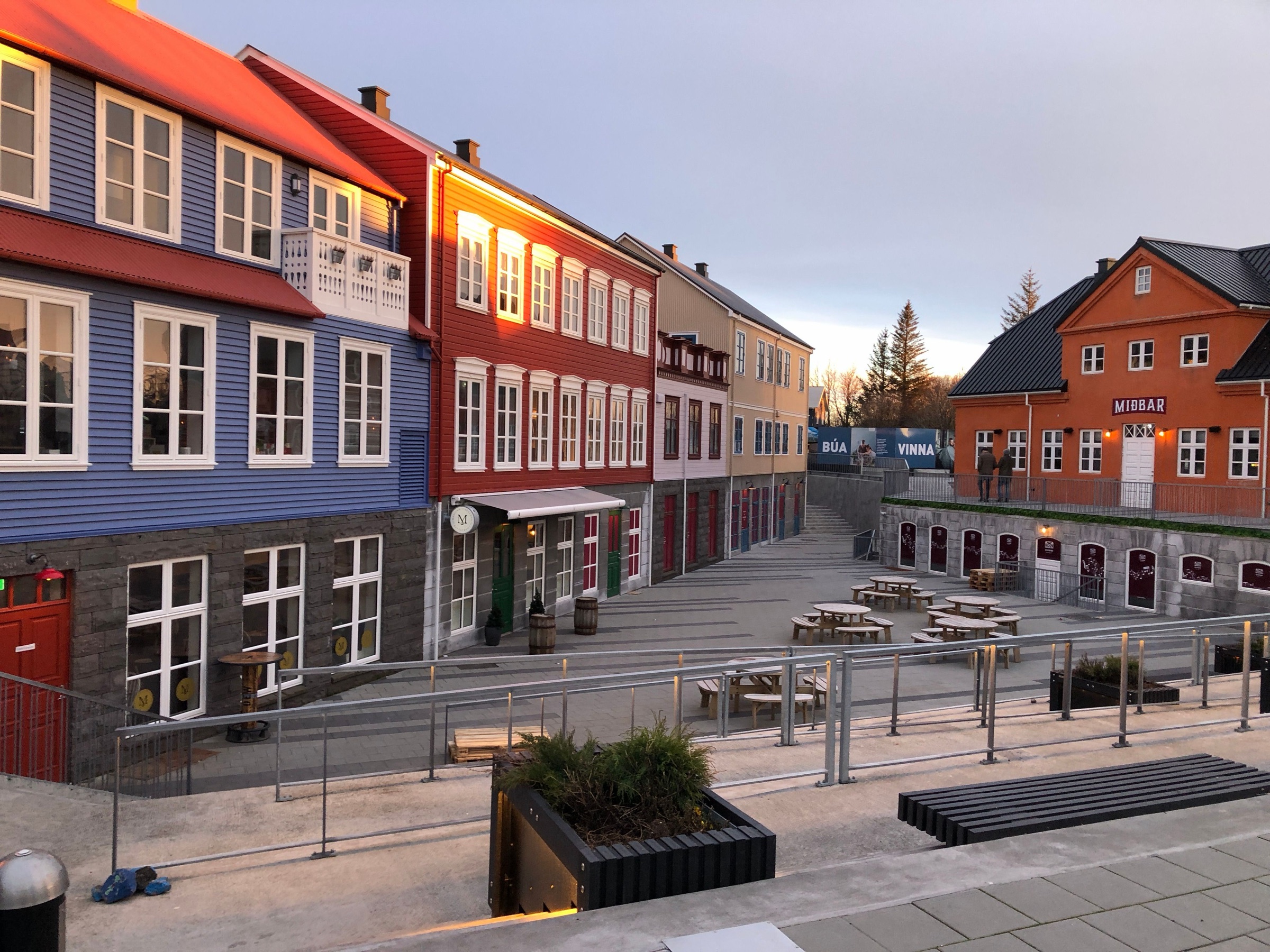
Selfoss, Iceland: Where the ring road crosses the Ölfusá stands the largest town in the south, and the last big supermarket stop before the coast.
Read the Selfoss guideExplore the rest of Selfoss
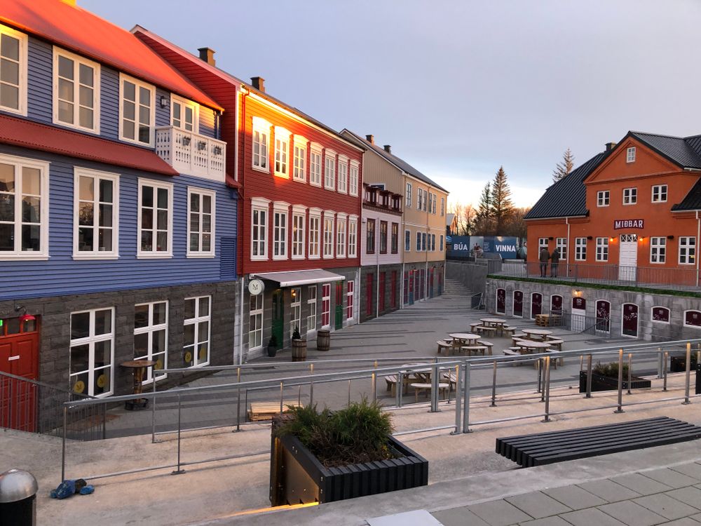
Where the ring road crosses the Ölfusá stands the largest town in the south, and the last big supermarket stop before the coast. The…
A village on the Ytri-Rangá, roughly ninety minutes east of Reykjavík on the Ring Road, that still works as the service town for the farms…
The large hotel in the centre of town, on the bank of the Ölfusá by the bridge, with river views from many rooms and from the restaurant.…
A volcanic crater lake on Route 35, the first stop on the Golden Circle from Selfoss, with red scoria walls around green-blue water. A path…
A country hotel in the Grímsnes farmland north of Selfoss, now trading under Kea Hotels, with rooms and suites spread low across the site…
A countryside hotel in South Iceland, 8 km east of Hella along Road 1, with an observatory on its grounds that opens every clear night with…
Built directly on a geothermal field at the foot of Hengill, 45 kilometres east of Reykjavík, the town has grown flowers and fruit under…
Njáls saga country, on the Ring Road an hour and a half east of Reykjavík. Hlíðarendi lies up the Fljótshlíð to the east and Bergþórshvoll…




Save Urriðafoss to your Iceland trip in the Meridian Dispatch app and build the day around it, with the best of Selfoss pinned on one map.
Download on the App StoreLast updated