Things to do
9-
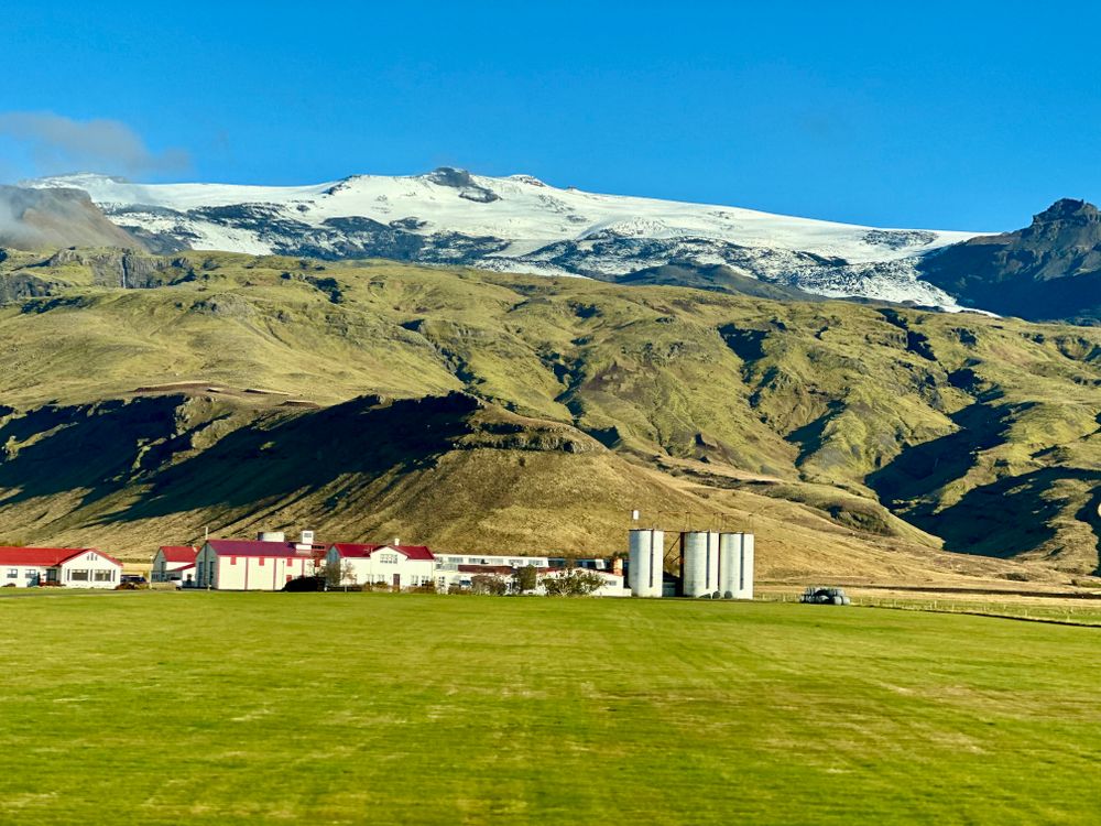
Eyjafjallajökull
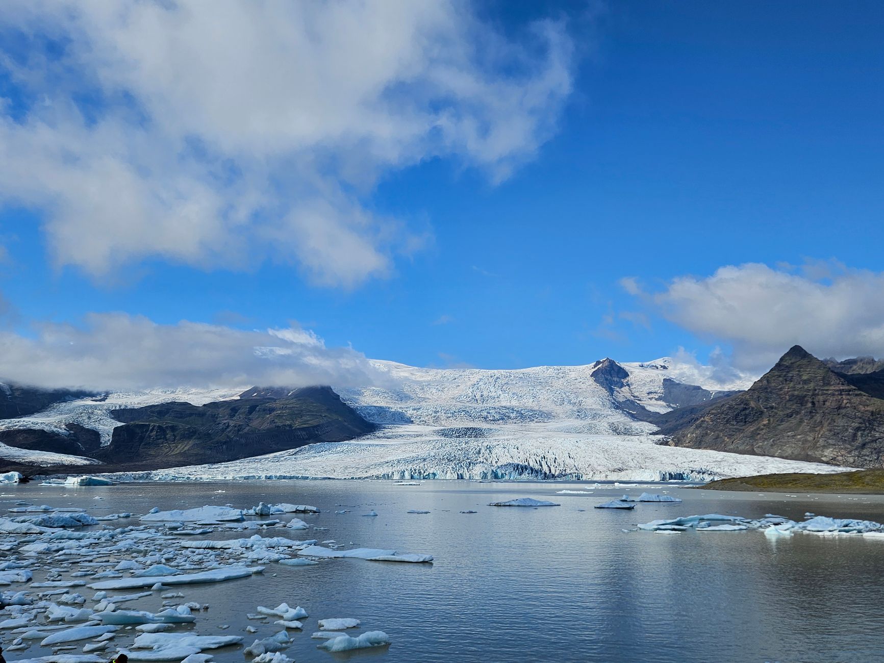
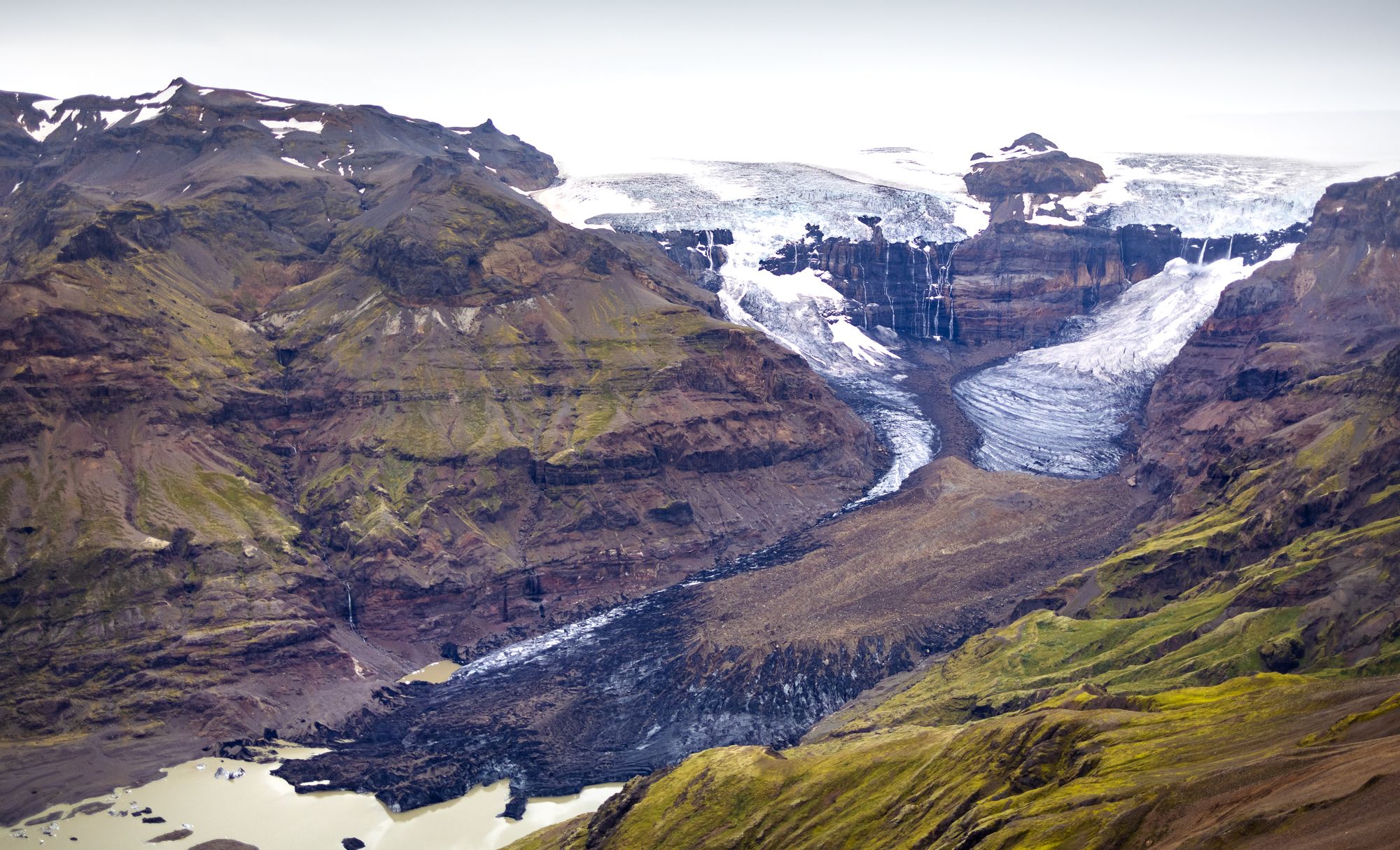
The ice cap and the volcano beneath it, 1,651 metres, whose 2010 eruption threw ash high enough to close much of European airspace for days. The whole south flank is in view from the Ring Road, and the visitor centre at Þorvaldseyri farm shows what it did to the land. Going onto the ice needs a guided trip.
-
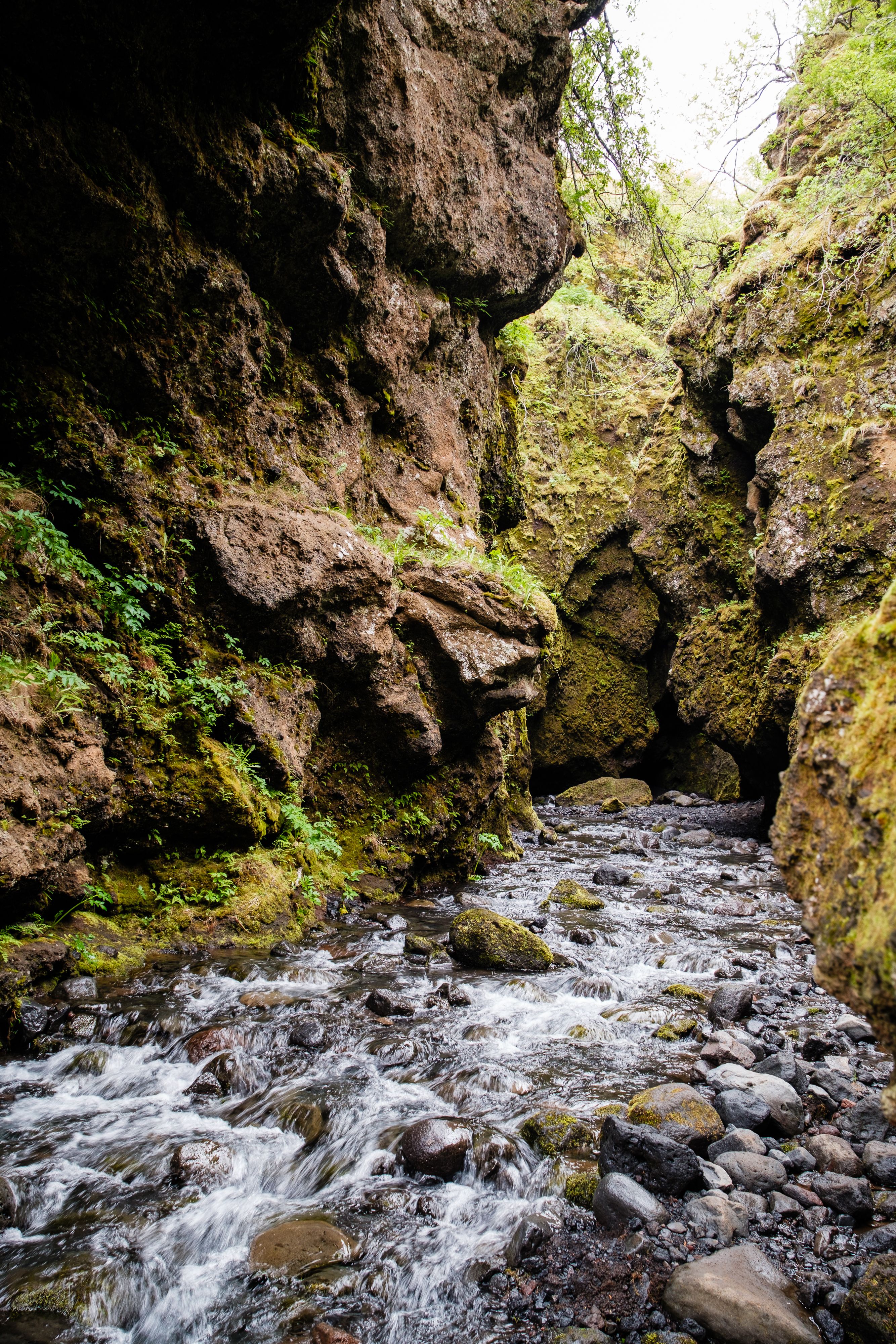
Nauthúsagil
A narrow mossy gorge on the north side of Eyjafjallajökull, off the Þórsmörk road, entered by walking up the streambed between walls close enough to touch on both sides. A fixed rope helps at the one awkward step, and the cleft ends at a small waterfall. The stream soaks anything short of waterproof boots.
-
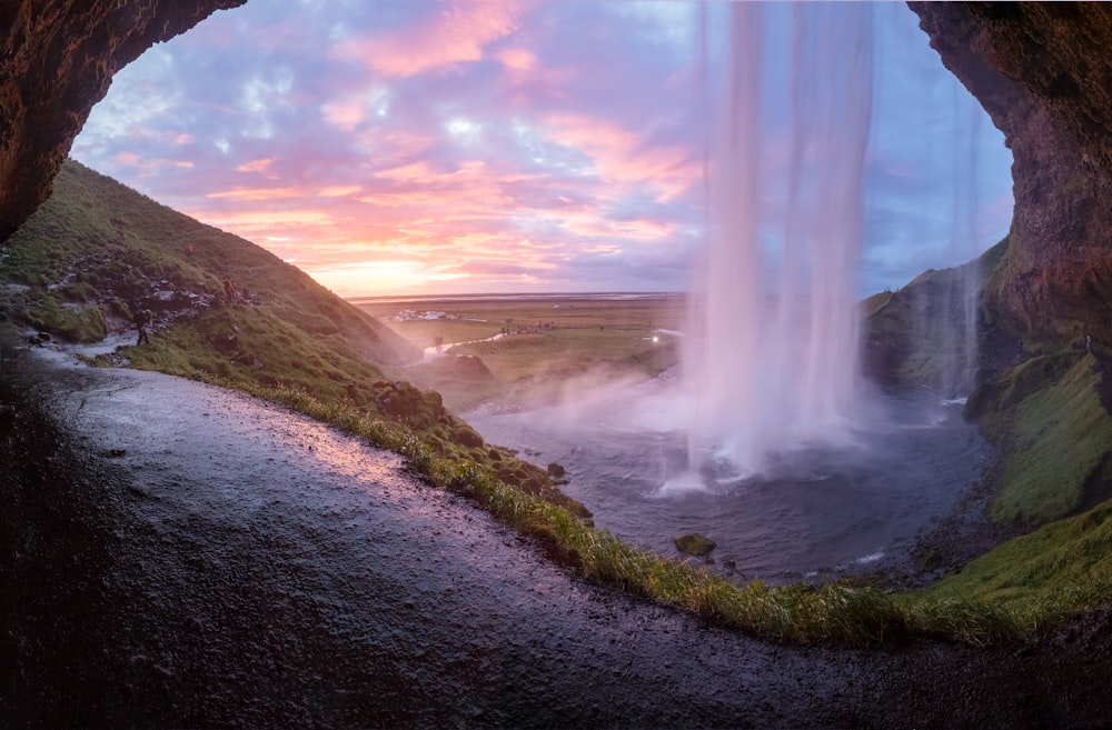
Seljalandsfoss
The path behind the water is the point, and Gljúfrabúi next door is the one most visitors miss.
-
Gljúfrabúi
A waterfall hidden in a cleft of the same cliff a few hundred metres north of Seljalandsfoss, invisible from the road because the rock closes over it. Reaching the chamber means wading up the stream through a gap barely wide enough to pass. Most of the coach traffic stops short of it, which is the point.
-
Gluggafoss
Also called Merkjárfoss, where the Merkjá falls through openings worn in soft palagonite in the Fljótshlíð, so that part of the water runs behind the rock and reappears through windows. Ash from the Hekla eruption of 1947 choked the channels and they have been re-cutting themselves since. It is a short walk from a small car park and takes minutes.
-
Hótel Skálakot
A small country hotel on a farm below Eyjafjallajökull, held by the same family for generations and converted from the working steading in 2017. It keeps its own Icelandic horses and rides out from the yard across the sands and along the river. The setting is farmland rather than village, so it suits a car.
-
LAVA Centre
An exhibition on the Icelandic volcanic systems, opened in 2017 on the main street of the village and built around the four that surround it: Hekla, Katla, Eyjafjallajökull and the Vestmannaeyjar. Displays cover rifting, plumes and ash, and live seismic readings are shown on screens. An outdoor platform names the peaks on the skyline.
-
Stakkholtsgjá
A canyon about two kilometres long and a hundred metres deep on the approach to Þórsmörk, ending in a chamber where a waterfall drops into the dark at the back. The floor route crosses the river several times on stones. Reaching the mouth of it means driving the F249, which fords unbridged water.
-
Þórsmörk
The wooded valley held between Eyjafjallajökull, Mýrdalsjökull and Tindfjallajökull, green with birch in a landscape that has almost none, and the southern end of the Laugavegur walk from Landmannalaugar. Trails run up Valahnúkur and along the Fimmvörðuháls pass. Access is by highland bus or a large four-wheel drive: the Krossá is unbridged and rental insurance does not cover it.