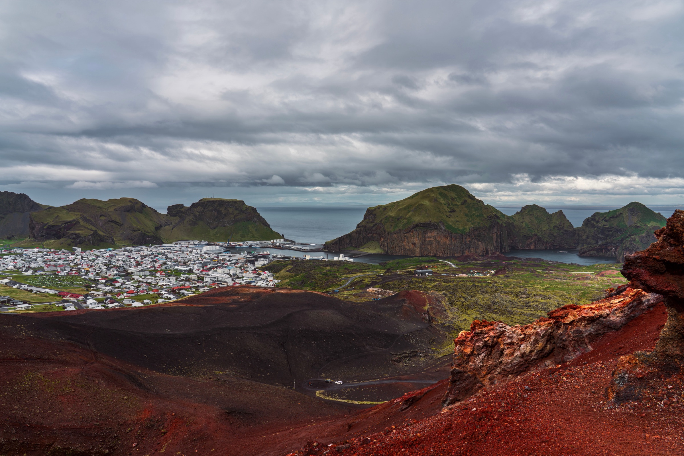
Loose red gravel underfoot, warm near the summit, on a volcano that rose from a meadow at the edge of town in 1973. A short climb puts you on the crater rim, looking down on the town and the lava that covers part of it.
Viewpoint, Vestmannaeyjar. Meridian Dispatch.
The route the town times starts at the sign by the Fellavegur car park and runs 1.7 kilometres on a clear gravel path up the red and black slopes to the summit.
About 220 metres. That is the height the cone had reached by the end of the eruption, which began on 23 January 1973 and lasted five months.
In places, yes. The gravel is loose on parts of the climb and the cone's flanks are steep, so sturdy shoes or hiking boots are the right footwear for the ascent and, just as much, for the descent.
Yes, on the Seven Peaks walk. It starts at Klaufin, circles Stórhöfði first, crosses Helgafell and then Eldfell, and ends in Herjólfsdalur. The town recommends it only for experienced hikers who know mountains well, because it is uncertain in places and very demanding.
Pack for it either way. Iceland's official travel-safety service advises a rain and windproof jacket and trousers even on a short walk, because the weather can turn quickly. On the cone, take care on the crater edges and the steeper slopes.
Lava flows from the eruption threatened to close the Heimaey harbour, and pumping sea water onto them slowed their advance. The pumping worked, and the finished flow left the harbour with better shelter than it had before.
Eldfell is a red scoria cone, built up from a single vent during the eruption that opened at the edge of Heimaey's town. Around 400 houses were buried under its tephra and lava, which spread over about a fifth of the island and left Heimaey two square kilometres bigger than before.
That new land is what the rim looks out over. The view takes in the whole town, the harbour and the nearby islands, with the lava fields laid out below and open North Atlantic beyond.
Eldheimar, the eruption museum, stands a short walk from the base of the cone. Its exhibition shows what life on Heimaey was like before the eruption, and seeing it first puts the climb in context.
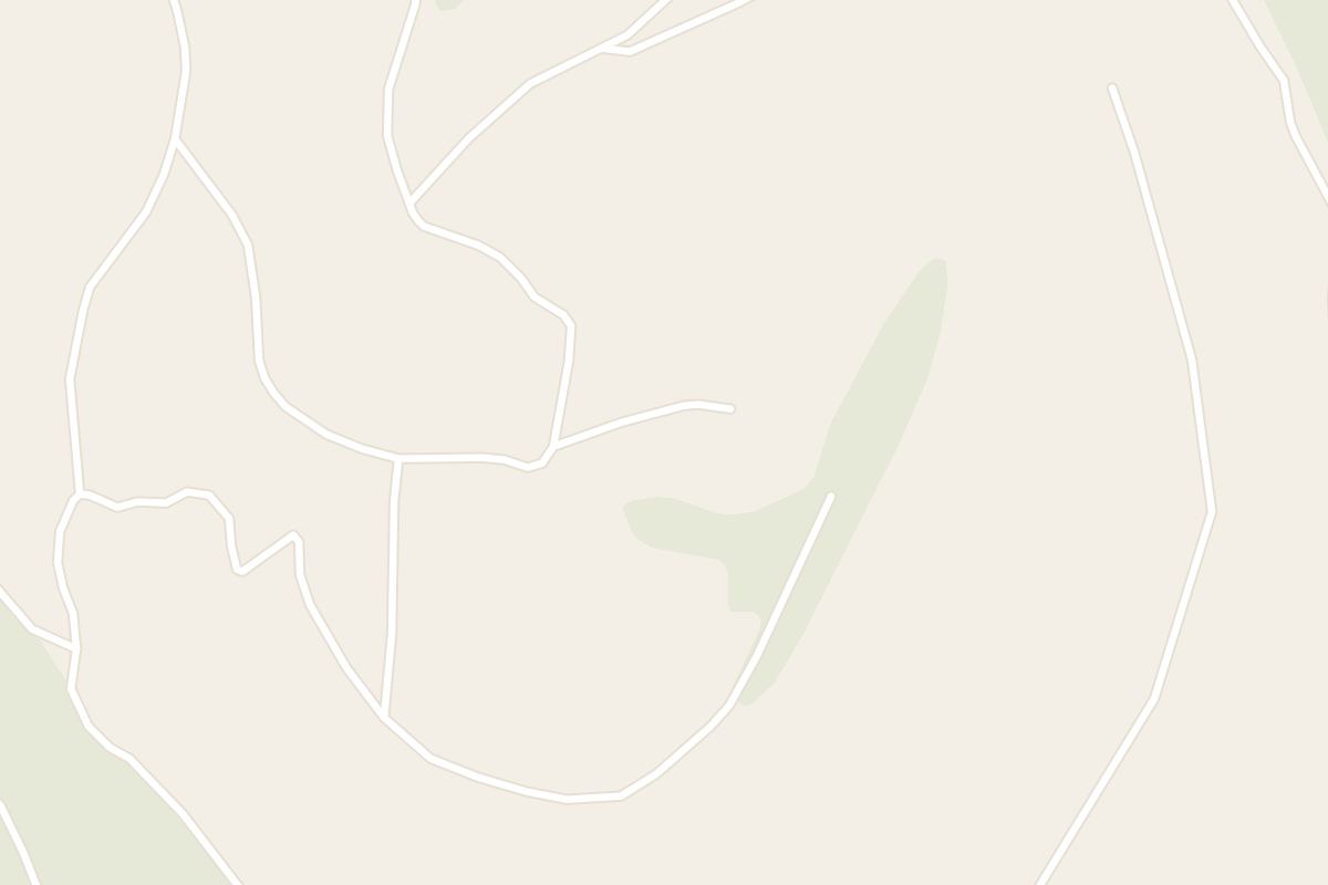
The information sign in the car park on Fellavegur is the usual start, and the town gives its timing and distance from there. A clear gravel path climbs from there to the crater rim.
If you see Eldheimar first, you can climb from its door instead. A marked path heads from the museum towards the cone and continues along a road to the northwest side, where it meets the way up.
Take in the view from the top, then come down the way you went up.
For a longer walk, cross the new lava first and head up Eldfell from there. Paths through the flow pass memorials to the houses that went under it, information boards on the eruption, and benches looking over the town.
Keep to the paths, because there are many ways across the flow and the ground is easily trampled.
Vestmannaeyjar, Iceland: Vestmannaeyjar is the archipelago and Heimaey its only inhabited island. Dalfjall, Eldfell and Eldheimar.
Read the Vestmannaeyjar guideExplore the rest of Vestmannaeyjar
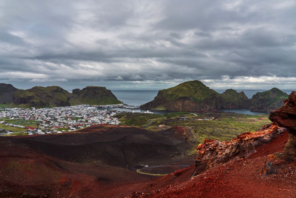
Vestmannaeyjar is the archipelago and Heimaey its only inhabited island, a fishing harbour town a short ferry ride off the south coast. The…
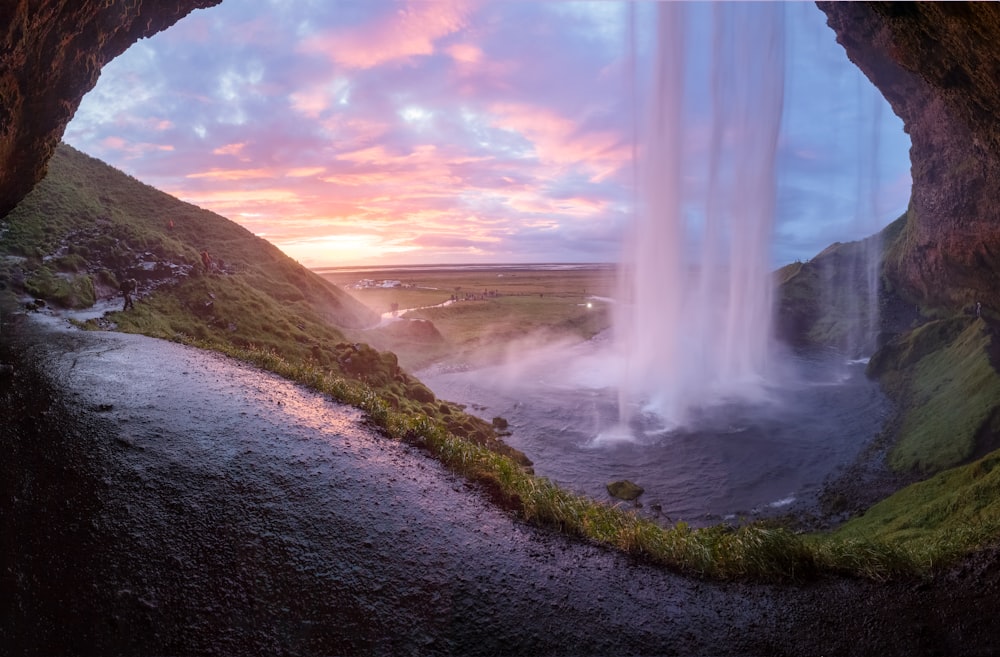
A fall of about sixty metres off the old sea cliff west of Eyjafjallajökull, dropping clear of the rock so that a path runs behind the…
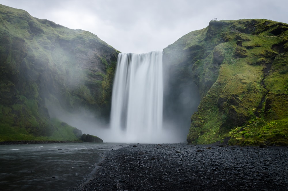
A 60 metre waterfall, 25 metres wide, on the Skógá river where it drops over the old coastal cliff line at Skógar. A staircase of 527 steps…
A museum built around a single house on Gerðisbraut, dug out of the tephra that buried it in 1973 and left in the state it was found. The…
A hotel on Vestmannabraut in the middle of the town, a short walk from the ferry quay, the harbour and the cafés around it. It suits a stay…
A small country hotel on a farm below Eyjafjallajökull, held by the same family for generations and converted from the working steading in…
Njáls saga country, on the Ring Road an hour and a half east of Reykjavík. Hlíðarendi lies up the Fljótshlíð to the east and Bergþórshvoll…
A countryside hotel in South Iceland, 8 km east of Hella along Road 1, with an observatory on its grounds that opens every clear night with…




Save Eldfell to your Iceland trip in the Meridian Dispatch app and build the day around it, with the best of Vestmannaeyjar pinned on one map.
Download on the App StoreThe official pages this guide was checked against.
Last updated