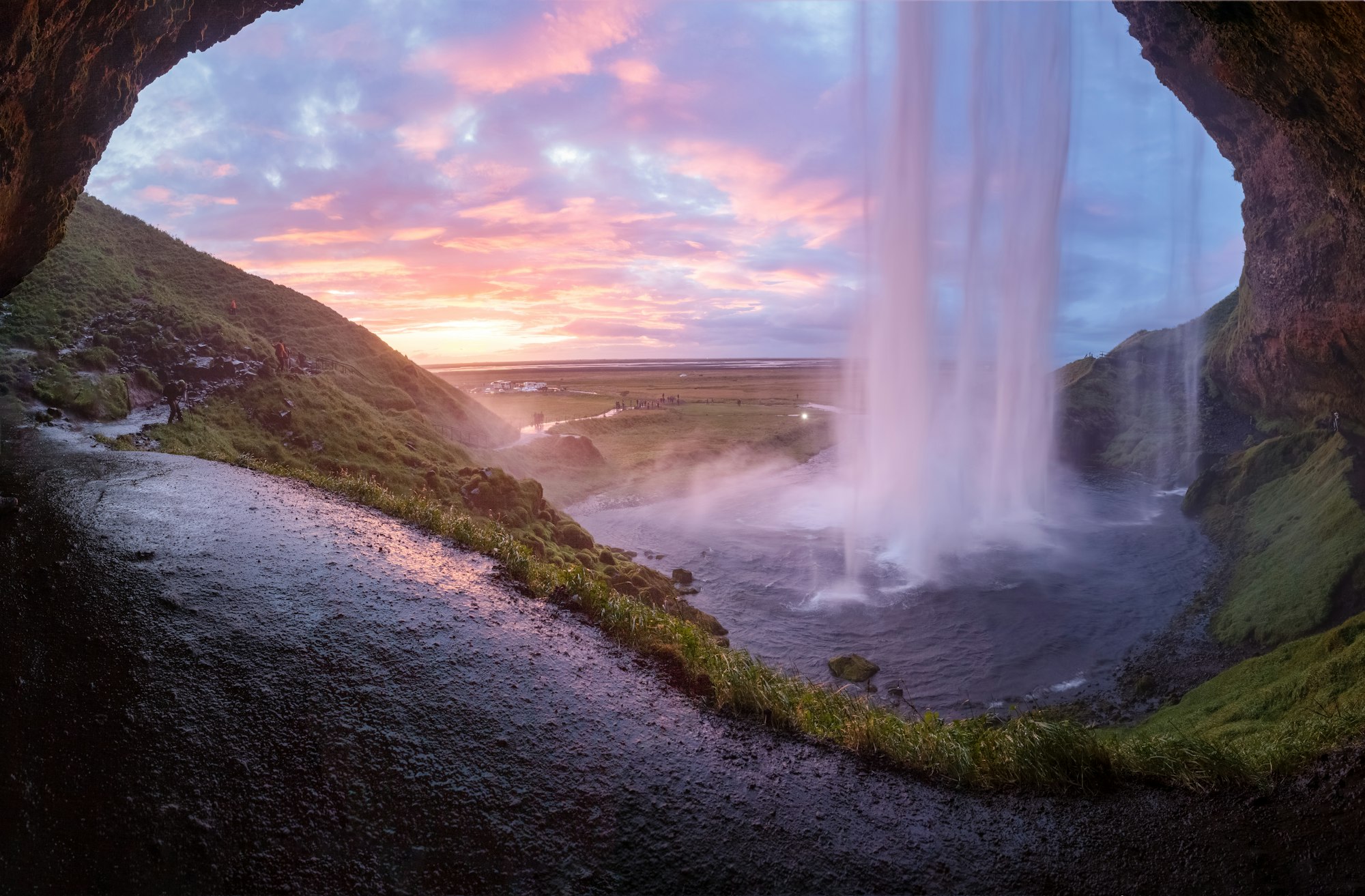
Seljalandsfoss is the waterfall you can walk all the way round, through the hollow behind the falling water, and a ten-minute walk along the cliff brings you to Gljúfrabúi, a second fall hidden inside a gorge.
Waterfall, Hvolsvöllur. Meridian Dispatch.
Not always. In winter the loop can be closed when ice makes it too dangerous, because the paths turn slippery and large pieces of ice fall from the cliff. Walking behind the water is the most exposed place of all on those days. The falls can still be seen from the front.
Yes, in no more than ten minutes. Gljúfrabúi lies to the left of Seljalandsfoss along the same cliff, so one car park serves both. Its 40-metre fall is hidden inside a narrow gorge and cannot be seen from the road, and the canyon carries a risk of falling rocks.
For the footpath behind the water, and yes, walking it means getting wet. The fall drops about 62 metres as a thin cascade, with the path running along the foot of the cliff behind it, and it is the only known waterfall of its kind that can be walked behind. A waterproof jacket is the minimum.
The official site of Seljalandsfoss is katlageopark.com.
katlageopark.com →Seljalandsfoss drops about 62 metres from an old sea cliff, and a path runs into the hollow behind it. That path is what makes it famous: you see the fall from the back and from both sides as well as from the front. From behind, the fall fills the whole view.
The water is the Seljalandsá river, fed by meltwater from the Eyjafjallajökull glacier. It lands in a pool called Kerið, the Tub, where sea trout and char can be seen, so look down into the water as well as up at the fall.
Walk north beneath the cliff and smaller falls come down the same face, until you reach Gljúfrabúi. A block of soft volcanic rock stands in front of it, so from the path you see only the top of the fall.
Inside that rock the walls close round a narrow chamber open to the sky, and the water drops from above in a single plunge. You stand close enough to it to get as wet as you did behind Seljalandsfoss.
Two waterfalls stand about ten minutes apart along the base of the same cliff, and one path joins them. Park at the main car park by Seljalandsfoss and walk on to Gljúfrabúi from there. Avoid the afternoon, the busiest time.
The loop starts beside the pool and runs on wet rock round the back of the fall. It comes out on the far side, where a bridge crosses the river and a staircase climbs beyond it.
From the bridge, follow the path north along the cliff, past a few smaller falls, to Gljúfrabúi. Cross the stream on the stepping stones or wade it, then go through the gap in the rock.
Put your phone or camera inside your jacket before the loop. Wear waterproof trousers as well as a hooded jacket, and sturdy shoes with grip: the trail is rocky in places and muddy in others.
At Gljúfrabúi some stepping stones sit just under the surface and others rock as you stand on them, so step slowly and expect wet shoes. The falls face west, so for the sun setting through the water from behind, come in the evening at the end of May or from late August to mid-September.
Explore the rest of Hvolsvöllur
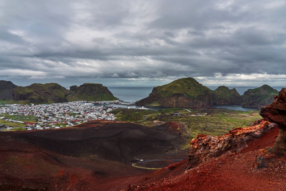
Vestmannaeyjar is the archipelago and Heimaey its only inhabited island, a fishing harbour town a short ferry ride off the south coast. The…
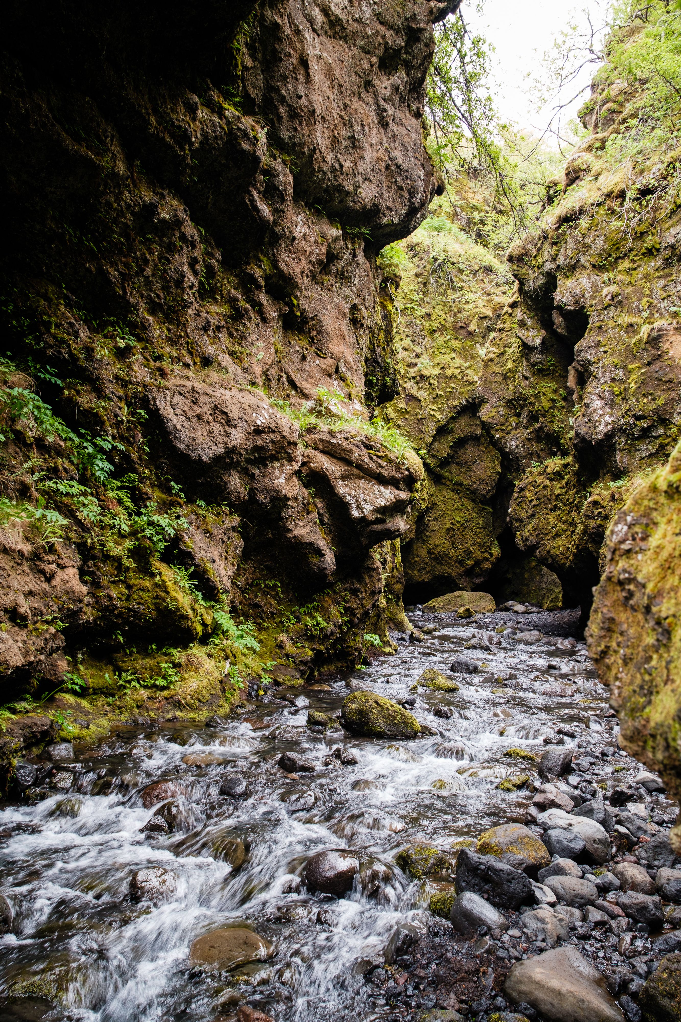
A narrow mossy gorge on the north side of Eyjafjallajökull, off the Þórsmörk road, entered by walking up the streambed between walls close…
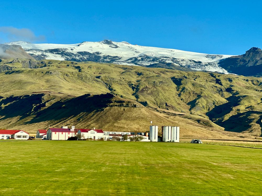
The ice cap and the volcano beneath it, 1,651 metres, whose 2010 eruption threw ash high enough to close much of European airspace for…
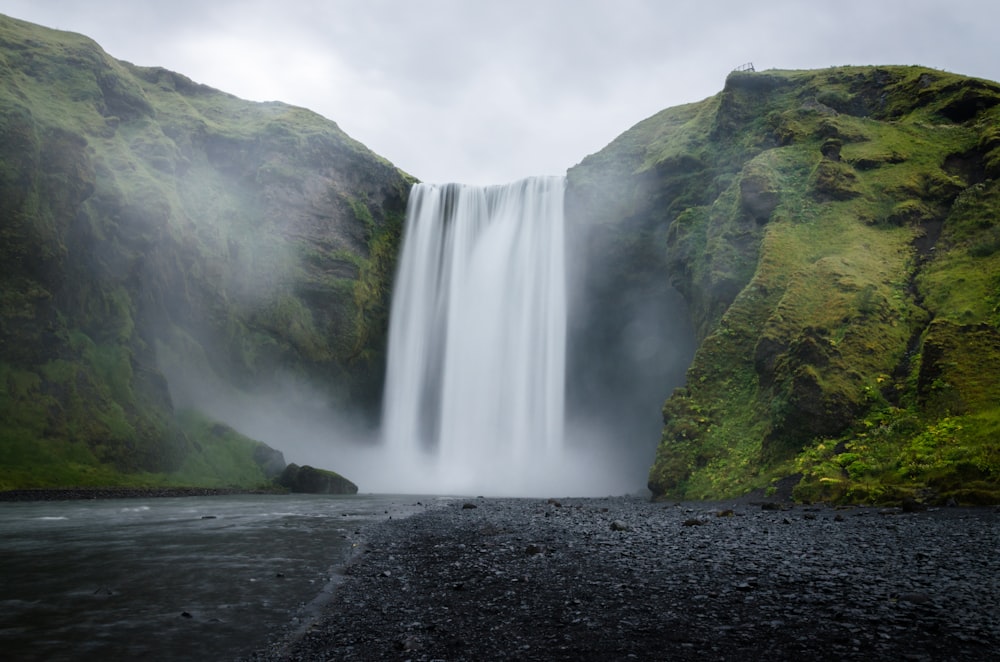
A 60 metre waterfall, 25 metres wide, on the Skógá river where it drops over the old coastal cliff line at Skógar. A staircase of 527 steps…
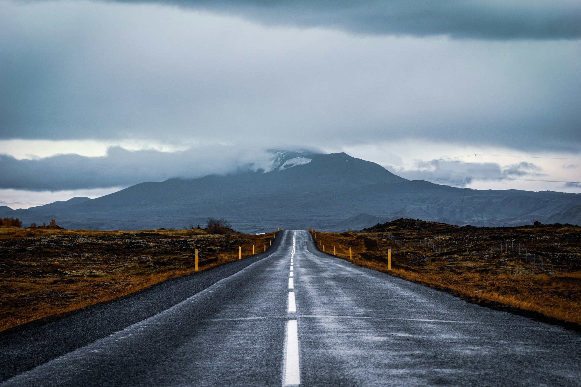
A village on the Ytri-Rangá, roughly ninety minutes east of Reykjavík on the Ring Road, that still works as the service town for the farms…
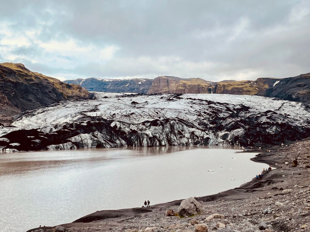
An outlet tongue of the Mýrdalsjökull ice cap, several kilometres long, ending in a meltwater lagoon that has widened as the ice has pulled…
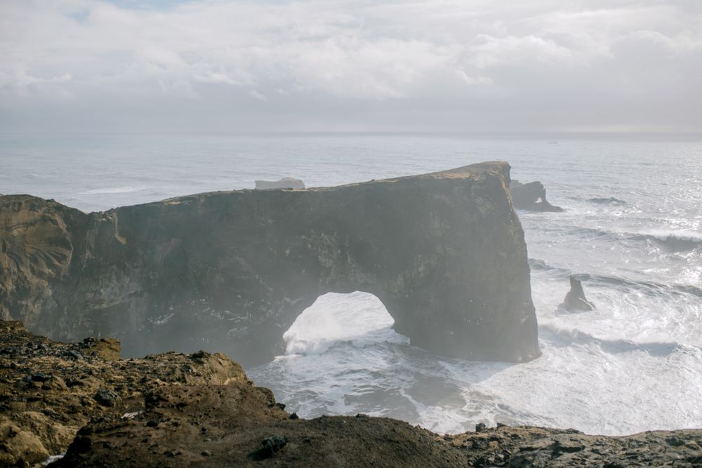
A headland on the coast west of Vík with two hills: low Lágey by the beach, and higher Háey, topped by a small lighthouse beside the sea…
Njáls saga country, on the Ring Road an hour and a half east of Reykjavík. Hlíðarendi lies up the Fljótshlíð to the east and Bergþórshvoll…




Save Seljalandsfoss to your Iceland trip in the Meridian Dispatch app and build the day around it, with the best of Hvolsvöllur pinned on one map.
Download on the App StoreThe official pages this guide was checked against.
Last updated