
Be on the lake shore early and you see a lone peak rise over the water, with the whole mountain mirrored in the lake on a still morning. It is the postcard view of Japan, and worth setting an alarm for.
Volcano, Fujikawaguchiko. Meridian Dispatch.
Most often from November to February. February is the clearest month on record, with the full mountain visible from Tokyo about 79 percent of the time. From April to August it shows very rarely, and the chances stay low in September, which is typhoon season.
Only in summer, usually from early July to 10 September; the 2027 dates are set in spring. Law forbids going above the Fifth Stations outside those dates. Out of season the trails are not maintained, the mountain huts are closed and no food is available on the way up.
On the Yoshida Trail the ascent takes five to seven hours, and the descent three to five. Between 2pm and 3am only mountain hut guests may pass the trail gate, and it also shuts once 4,000 climbers have passed in a day. Staff turn back anyone who lacks trekking shoes, warm clothing or rain gear.
Only outside the climbing season: for most of it the road is closed to private vehicles. The Fuji Subaru Line Fifth Station has parking lots, coin lockers and a few restaurants and shops, and strolling there outside the trail gate carries no hiking fee. Buses from Kawaguchiko Station take 50 minutes, hourly in the climbing season.
It stands over Yamanashi and Shizuoka prefectures, about 100 km southwest of Tokyo and close enough to be seen from the city on clear days. Its northern slopes are in Yamanashi, where direct buses from Shinjuku Bus Terminal reach Kawaguchiko Station on the lake in just under two hours one way, which makes a day trip workable.
Yes. Mount Fuji last erupted from 1707 to 1708, a little over three centuries ago, and that eruption remains the most recent. It rises as a single peak to 3,776 metres above sea level.
Yes, on the Yoshida Trail. Passage there has to be booked and paid for before the climb, and the wooden tag each climber receives is handed out only to those who booked ahead.
Yes. Even in summer, temperatures can fall to near zero degrees Celsius before sunrise, so warm layers are needed for the early hours on the mountain.
The official site of Mount Fuji is fujisan-climb.jp.
fujisan-climb.jp →From the lake shore you look at a single volcanic cone standing on its own, with no range of peaks around it. Through the winter the top is white, because snow that falls near the summit does not melt before spring.
The mountain has been a place of pilgrimage for centuries. Pilgrims climbed to the summit in worship and visited sacred sites around its lower slopes, and the Sengen shrines at its foot belong to that tradition.
You can see one on the way to the best-known view in the area: the stairway up to Chureito Pagoda starts at Arakura Fuji Sengen Shrine. UNESCO listed the mountain as a cultural site, and the listing takes in the Fuji Five Lakes and the Sengen shrines as well as the peak.
At sunrise, be at Oishi Park on the north shore of Lake Kawaguchi, which is easiest from a room on that shore. A lakeside path there gives an open view of the mountain, and once the day's buses start, the Red Line from Kawaguchiko Station runs along this shore.
For the pagoda view, take the Fujikyu Railway to Shimoyoshida Station and follow the signposted walk of about 25 minutes, the stairway included. The pagoda stands well above the car park, up a flight of stone steps, and from the viewing deck a little higher the mountain rises straight behind it.
Go up to the Fifth Station only when the upper mountain is clear, because cloud can sit on its middle slopes while the town is sunny. The bus stops at about two thousand three hundred metres, among a few shops and restaurants, with Komitake Shrine behind them. When the path is free of snow, you can walk a five kilometre section of the trail west and back.
On January and February mornings, expect frost of around minus five degrees Celsius before nine, so dress warmly for the dawn at the lake.
At Chureito Pagoda, expect long queues at cherry blossom time in early April.
The walk from Shimoyoshida Station is long and ends on a stone stairway, so wear proper walking shoes, not sandals. There is little to buy at the park, so pick up food and drinks near the station before you set off.
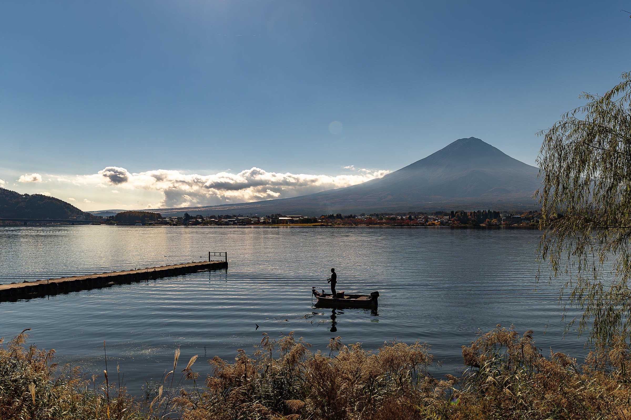
Fuji is usually clearest before nine, before the first buses from Tokyo arrive. Sleep by Lake Kawaguchi and you see the summit at dawn; winter is clearest.
Read the Fujikawaguchiko guideExplore the rest of Fujikawaguchiko
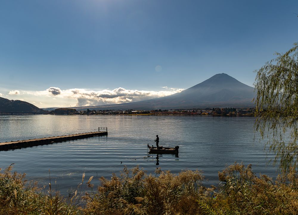
A lakeside town on Lake Kawaguchi, two hours from Shinjuku by direct bus or train, and the usual base for seeing Mount Fuji or for climbing…
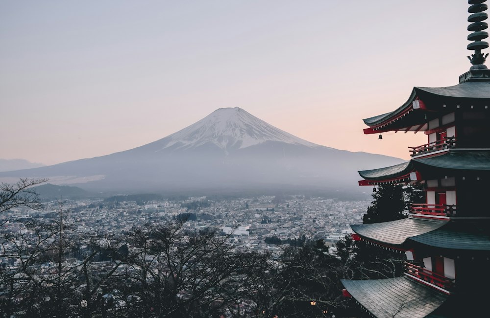

A stone stairway climbs from a shrine in Fujiyoshida to a hillside deck that looks over a red pagoda, the city's war memorial, to Fuji. In…
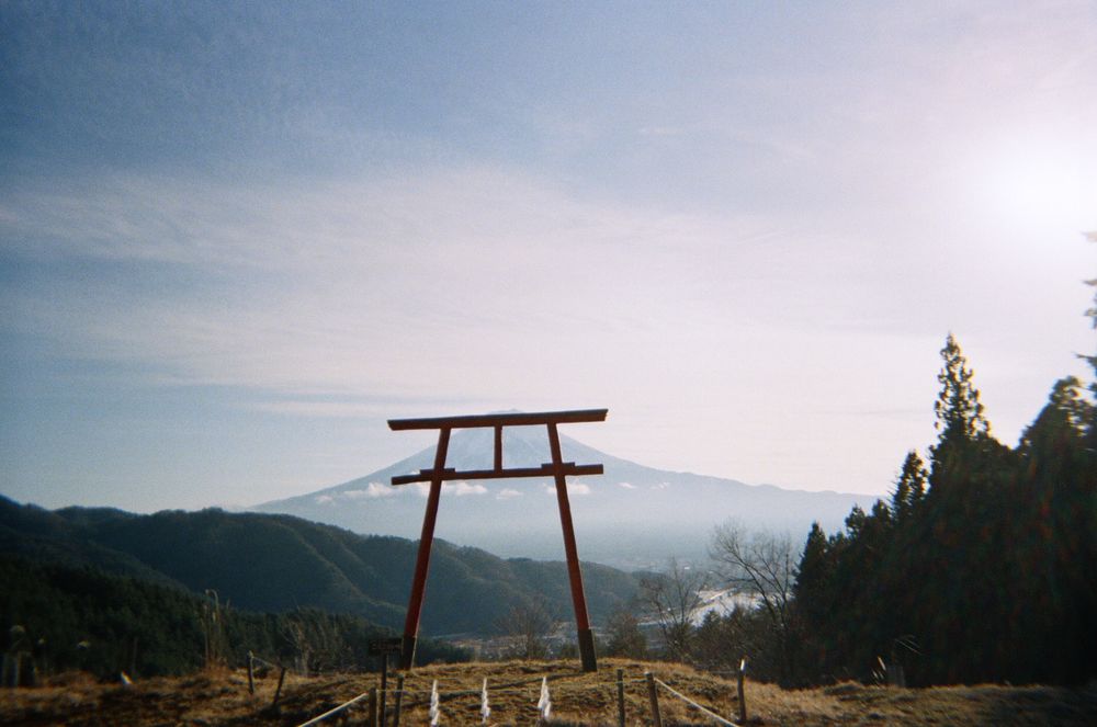
Ancient sacred cedars stand around the hall of this shrine, one of the sites listed with Fuji as a World Heritage property. A path climbs…
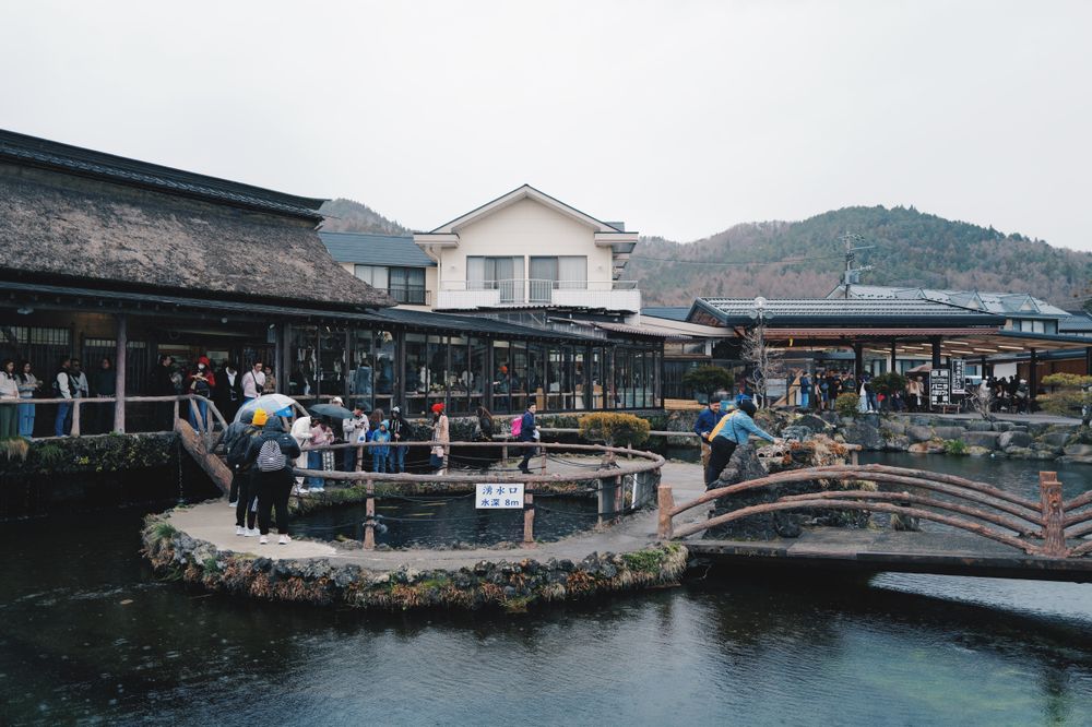
Eight spring-fed ponds in a farming village, filled by Fuji snowmelt that has filtered for years through the lava, and clear enough to show…
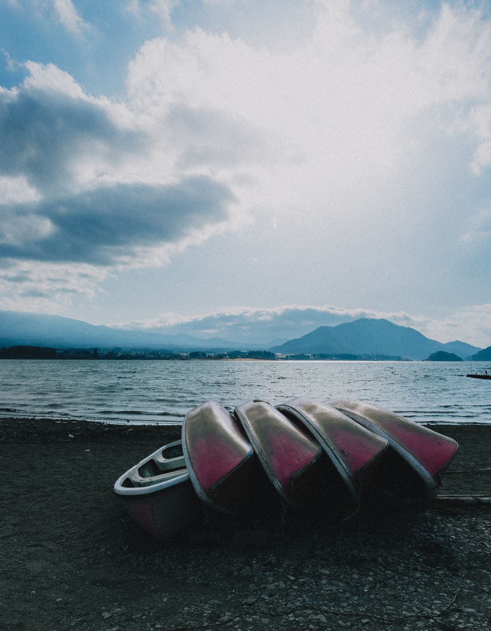
The most accessible of the five lakes at Fuji's northern foot, and the one with the postcard angle: from the north shore the mountain…
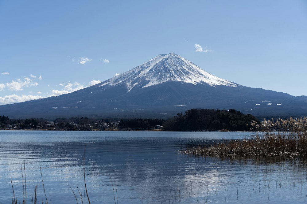
Flower beds run along the north shore here between the road and the water, with Fuji standing across the lake behind them. Lavender flowers…
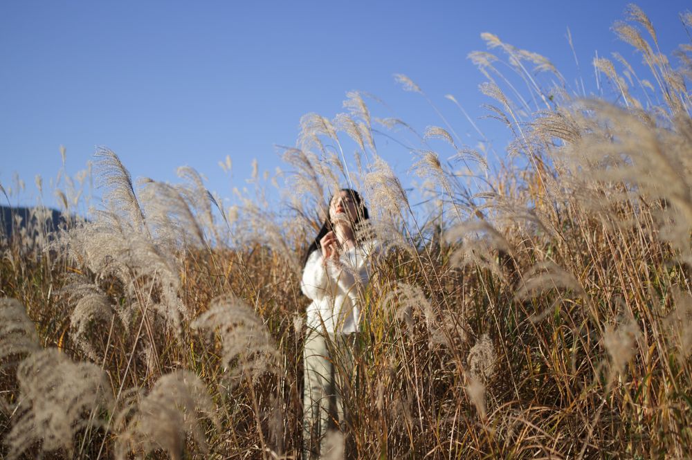
A hillside of pampas grass below Mount Daigatake in Sengokuhara, with one path up the middle. It turns gold from late September into early…
A low museum sunk into beech forest in Sengokuhara, kept below the tree line, holding a private collection that runs from Monet and Picasso…




Save Mount Fuji to your Japan trip in the Meridian Dispatch app and build the day around it, with the best of Fujikawaguchiko pinned on one map.
Download on the App StoreThe official pages this guide was checked against.
Last updated