 Submit a photo
Ninety seconds on Arashiyama
The JR Sagano Line is the most convenient railway, and from Saga-Arashiyama Station the bridge area is about eight minutes on foot. Hankyu trains also serve the district: change at Katsura Station onto the Hankyu Arashiyama Line and ride it to the last stop, Arashiyama Station.
The Togetsukyo measures 155 metres from bank to bank. It crosses the Katsura River at the heart of the district, and cormorant fishing is held near it on summer nights.
About three hours covers the bridge, the grove and the temples to the north at an easy pace. The famous path on its own takes around half an hour, so most of the time goes on the walk beyond it.
Weekdays outside the cherry blossom season are the calmest time. Spring blossom and autumn colour draw the largest crowds to the bridge, while winter is the quietest season in the district.
By bus or on foot. Buses 62, 92 and 94 run from near JR Saga-Arashiyama Station to the Atago-dera Mae stop for the temple. Walking there from Arashiyama Station takes 40 to 50 minutes at a brisk pace.
The Togetsukyo bridge sits at the busy centre of the district, and a walk north from it takes you into temple lanes where thousands of stone figures stand in courtyards and on wooded slopes.
The Togetsukyo is the centrepiece, a wooden bridge across the Katsura River with Arashiyama Mountain rising behind it. It has been the landmark of this western edge of Kyoto for over four hundred years.
Its name means moon-crossing bridge. An emperor at a boating party under a full moon thought the moon looked as if it were crossing it.
Below the bridge, small boats go out from two landings, one on each bank of the river.
Adashino Nenbutsu-ji, north of the river in Sagano, fills its central courtyard with over 8,000 stone pagodas and Buddha statues, gathered over the centuries. At Otagi Nenbutsu-ji, at the far end of the district, 1,200 statues line the paths and hillside, and no two look alike.
Jojakko-ji, on the slopes of Mount Ogura, is covered in maples, so autumn colour is its season.
Quieter lanes lie north of Arashiyama Bamboo Grove, so carry on past its far end rather than turning back.
Adashino Nenbutsu-ji comes first on the road north of the bamboo path, and Otagi Nenbutsu-ji lies a short walk further on.
Otagi is the deepest point of the walk, so ride the bus back from the Atago-dera Mae stop to Saga-Arashiyama Station. From there, walk down to the river, cross the Togetsukyo and return, and finish at the boat landings if you want time on the water.
Pair the walk with Tenryu-ji Sogenchi Garden, which may need its own ticket.
Explore the rest of Kyoto
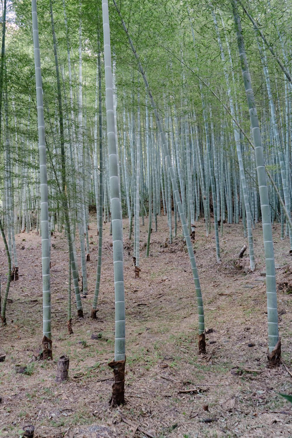
Tall bamboo lines the path between Tenryu-ji and Nonomiya Shrine in Sagano, on the western edge of Kyoto, and the light reaches the ground…
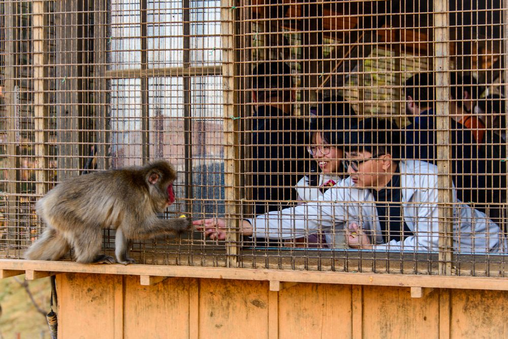
About 120 wild Japanese macaques live on Mount Iwata, across the Oi River from central Arashiyama, a twenty-minute climb from the gate.…
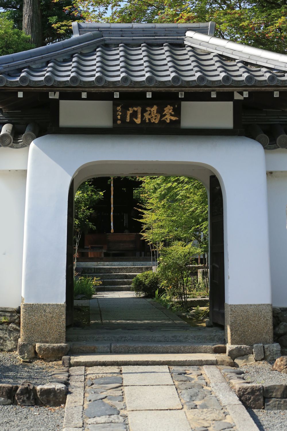
Behind the main hall of Tenryū-ji, a pond garden from the fourteenth century is laid out so the wooded Arashiyama hills look like part of…
Last updated