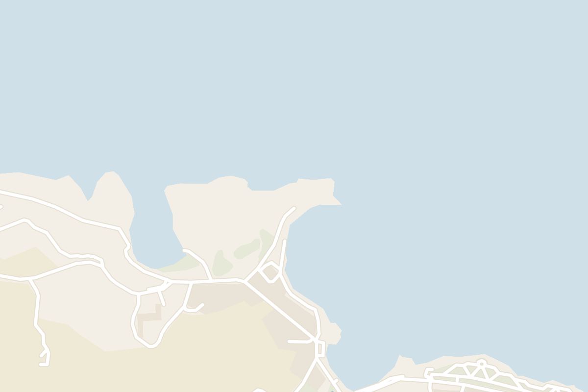
Quieter than the Marsalforn town beach and with noticeably cleaner water, Qbajjar gives you a small bay to swim from, a short walk west of the town.
Beach, Marsalforn. Meridian Dispatch.
About 10 to 15 minutes on foot from Marsalforn's centre. The route runs along the water's edge, so the walk doubles as a short coastal stroll before or after the swim.
Yes. Route 310 runs from Victoria to Marsalforn, reaching the Marsalforn Xwejni stop in about 20 minutes. That stop is about a minute's walk from the bay, and the Marsalforn Qbajjar stop is about five minutes away.
Yes. One restaurant stands right at the beach, and two more lie within about 100 m of it, so lunch is easy to fit around a swim. The bay also has a toilet.
Yes. Free roadside parking sits directly above the limestone shelf, and the drive along the coastal road from Marsalforn village takes about five minutes. Route 310 is the alternative without a car.
Yes. Qbajjar is a designated swimming zone, with clear blue water off the pebbles and rock. The bay is small and shallow, so it suits an easy swim more than a long one.
They are neighbours of the same kind, two shallow bays split by the battery headland, and Xwejni is a swimming zone too. Its cove is a run of shallow pools among large boulders.
Qbajjar Bay, Il-Qbajjar in Maltese, is a small inlet just beyond Marsalforn Bay, inside the limits of Żebbuġ. A short pebbly beach gives way to rocky stretches along the water.
Xwejni Bay lies right next to it, on the far side of a headland called il-Ponta tat-Torri, and both bays are easily reached through Marsalforn or Żebbuġ. Anglers fish from both, as they do at Marsalforn.
On that spur of land between the two bays stands the Qolla l-Bajda Battery, built in 1716 by the engineers Jacques de Camus D'Arginy and Bernard de Fontet to stop enemy boats landing in these bays. It is one of the few coastal fortifications still standing on Gozo.
On foot, the way in from Marsalforn follows the water's edge west, towards Żebbuġ, and Qbajjar is the next inlet along the shore.
Settle on the limestone shelf or the small beach for the swim.
Afterwards, carry on along the coast to Xwejni Bay and the Xwejni Salt Pans, which can be seen year-round and are worked in summer. Return the same way for an easy out-and-back with constant sea views, and finish back in Marsalforn for food by the water.
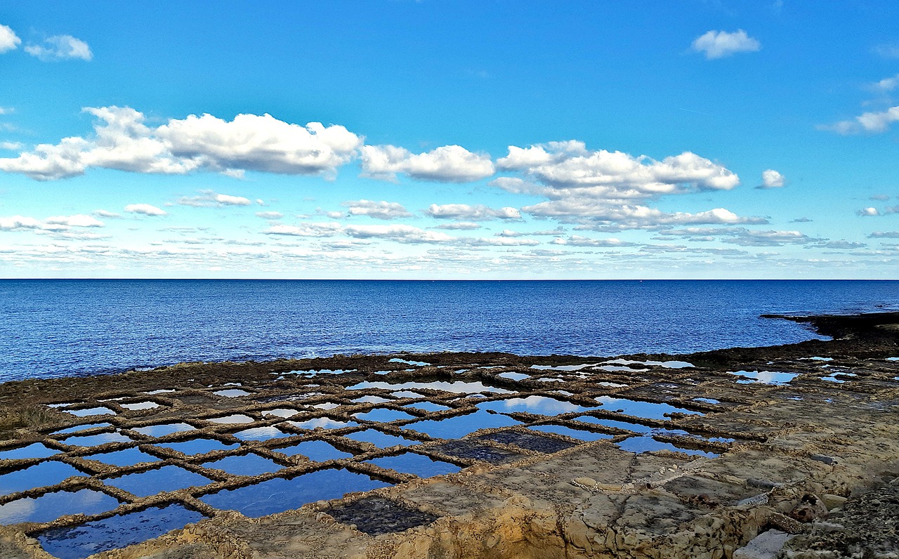
Gozo's salt pans start a walk west of Marsalforn, and the coast path runs on past them to a gorge with a pebble cove at its foot. Back in the bay, you climb down steel ladders off the rocks into deep water.
Read the Marsalforn guideExplore the rest of Marsalforn
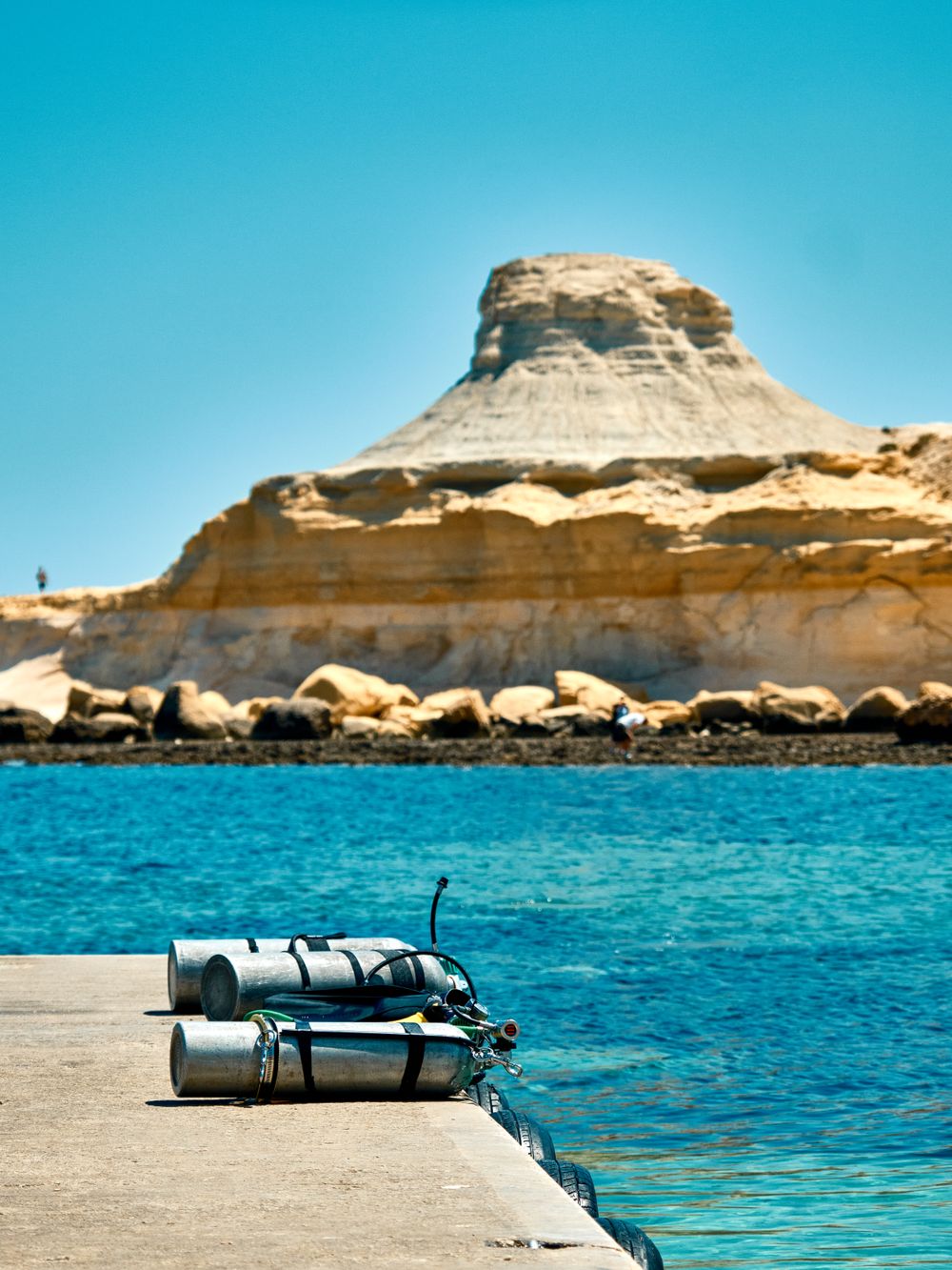
West of Marsalforn, a shallow inlet with a sliver of sand and wide flat rocks for sunbathing faces the pale cliff of Qolla l-Bajda. The…
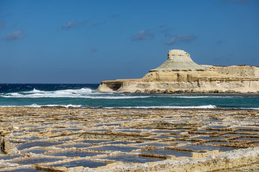
Hundreds of square pans cut into the flat rock along the shore fill with seawater in summer and dry to salt in the sun. Families who have…
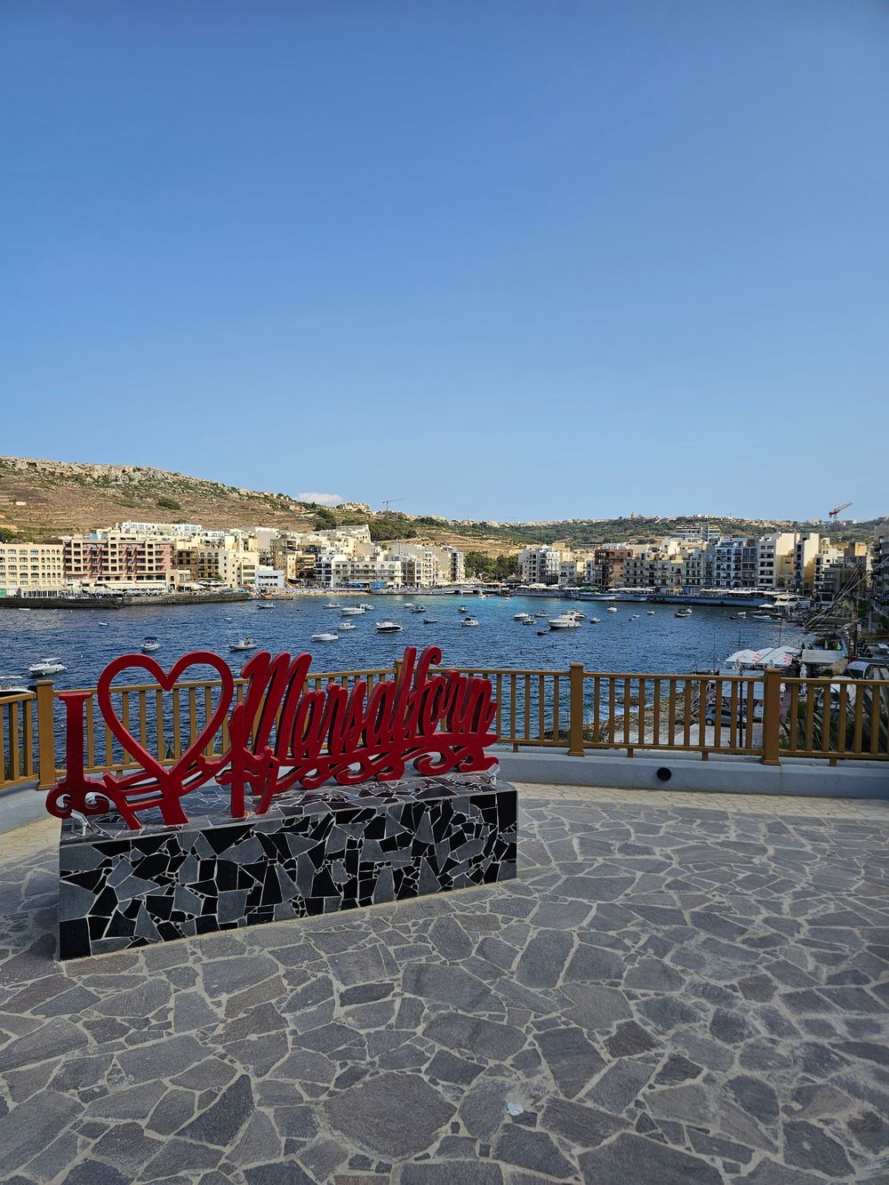
A small sandy beach at the head of the bay sits among cafés, fish restaurants and a fishing harbour, the busiest seaside spot on Gozo's…
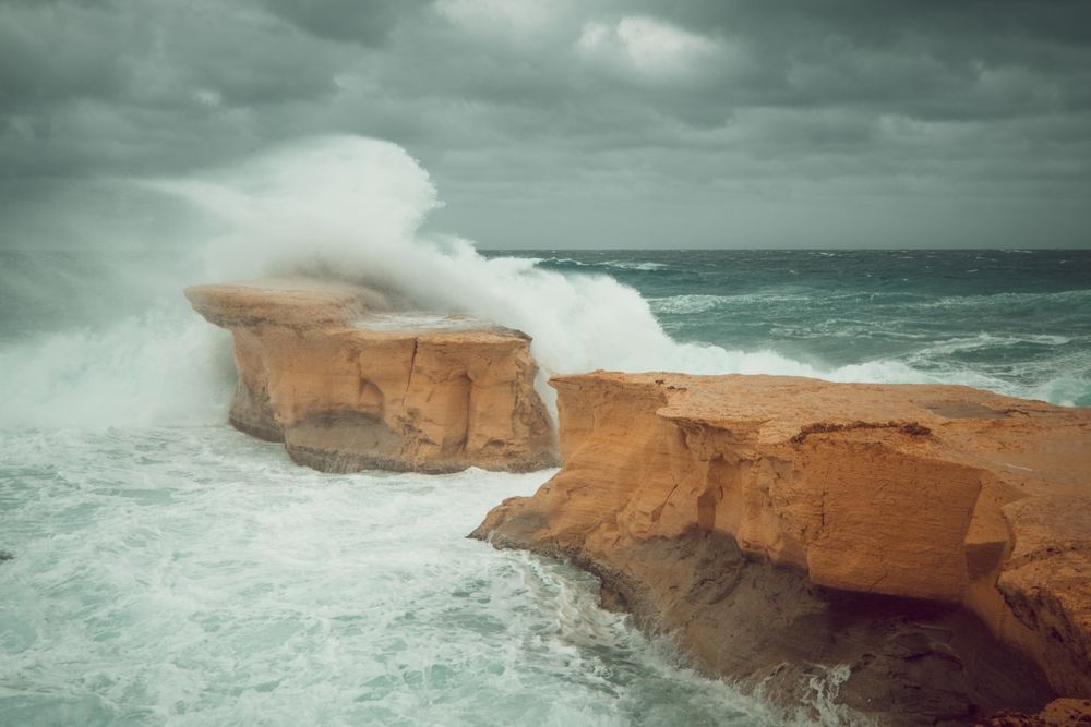
Just off the shore at Marsalforn, about 8 m out, a 3 m limestone pillar is all that remains of a natural arch that collapsed during the…
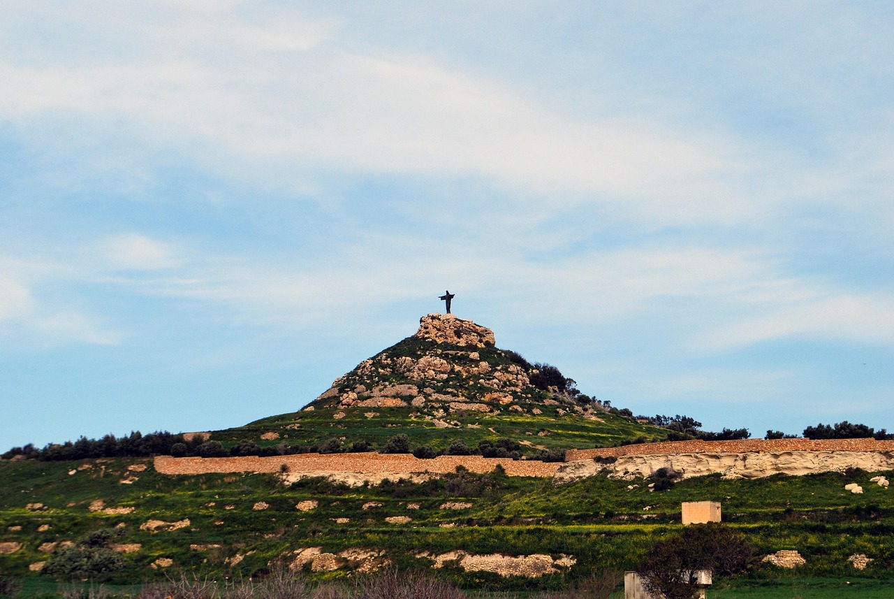
A concrete statue of the risen Christ on this hill above Marsalforn can be seen from much of Gozo. Pieces of its storm-felled predecessor…
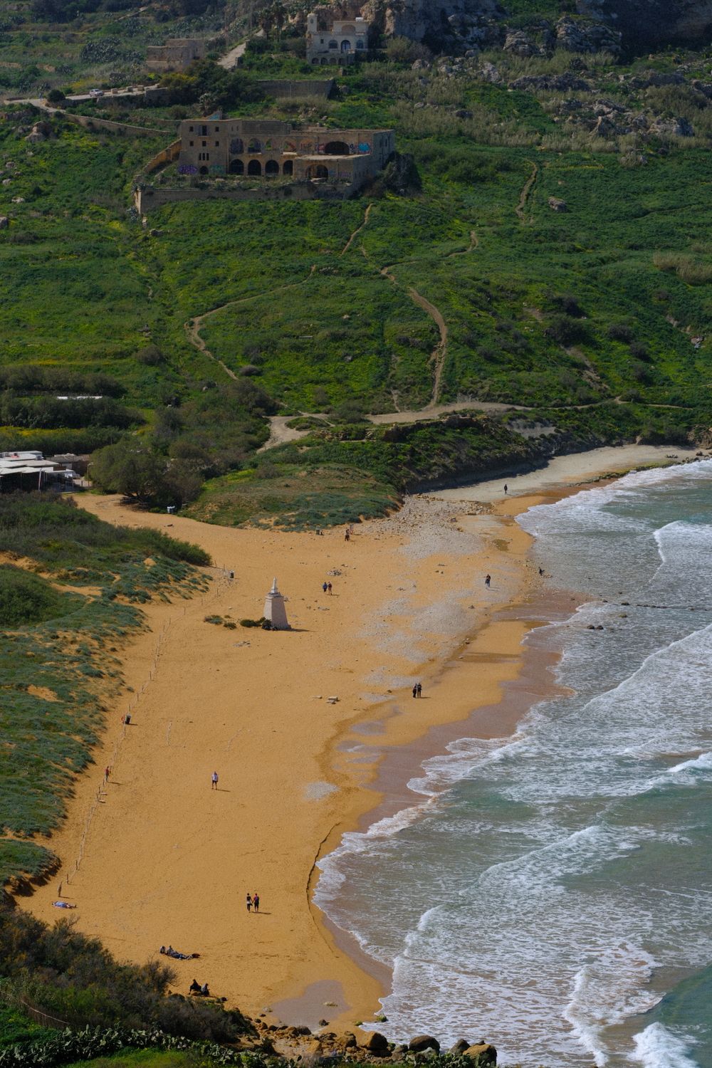
Red-orange sand fills this wide bay on the north coast, the largest sandy beach on Gozo, backed by protected dunes. The water shelves…
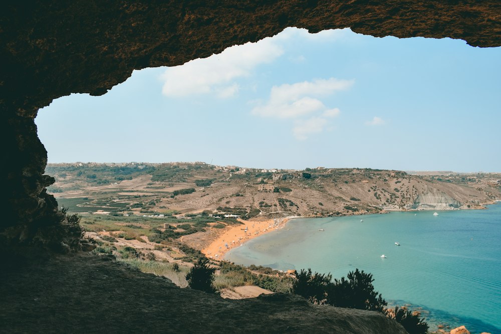
On high ground in north Gozo, Xagħra holds the Ġgantija temples, two Neolithic stone structures, and a village square with cafes. Ramla…
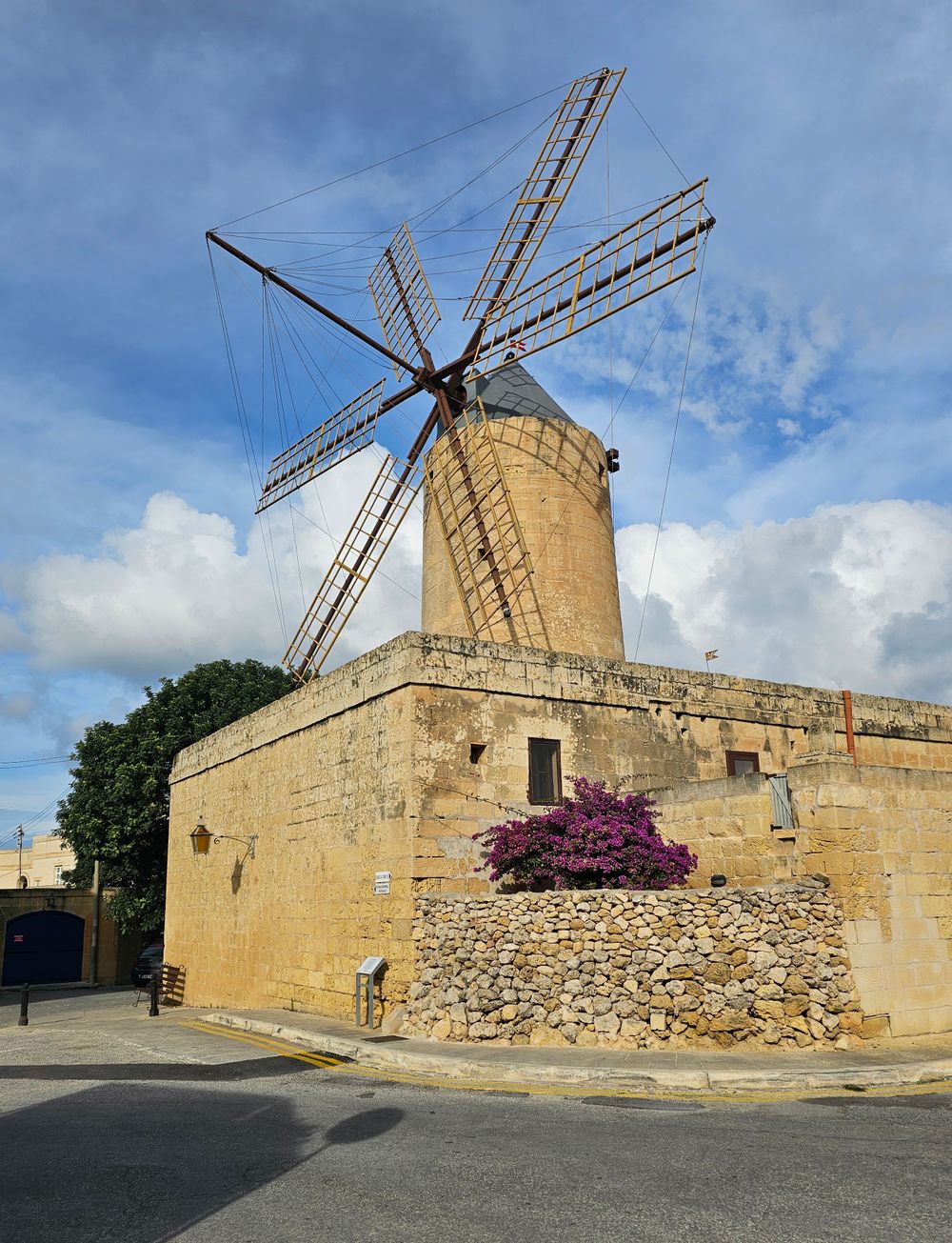
Sails, millstones and the miller's living rooms survive in this windmill a short walk from Ġgantija, and the Ġgantija ticket covers it.…




Save Qbajjar Bay to your Malta trip in the Meridian Dispatch app and build the day around it, with the best of Marsalforn pinned on one map.
Download on the App StoreLast updated