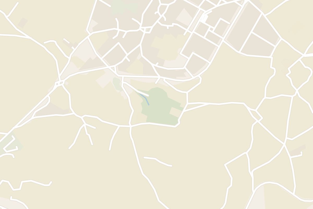
 Submit a photo
Ninety seconds on Il-Maqluba
One guide lists entry as free and visiting hours as unrestricted. The same guide says photography is allowed, so visitors can take pictures from the rim of the hollow below.
Not to the bottom. Visitors are forbidden to go down to the bottom-most level; the furthest point is a viewing belvedere midway into the hollow.
Local legend tells of a hamlet of wicked people that once stood on the site, also named Il-Maqluba. In the story, the sinkhole was created as their punishment.
From a small square in Qrendi, a short path past a chapel brings you to the edge of a sinkhole, a quick stop on the way to Ħaġar Qim and Mnajdra.
Il-Maqluba is a collapse doline, a hollow left where the ground fell in. Its name means overturned or upside down in Maltese, and it covers about 4,765 square metres. The hollow collects rainwater from a five-kilometre radius around it.
The information boards by the edge tie the collapse to a severe winter storm in November 1343.
Among its plants is the sandarac gum tree, which grows wild in Malta only here, at Imġiebagħ and around Mellieħa.
Grey long-eared bats and free-tailed bats live in the hollow, and the Blue Rock Thrush, Malta's national bird, breeds here.
The lower Maqluba is one of Malta's Special Areas of Conservation in the EU's Natura 2000 network.
Misraħ tal-Maqluba, the small square in Qrendi beside the chapel of St Matthew, is the starting point. Benches there let you sit and take in the scene.
Follow the path along the side of the chapel to the edge and look over into the sinkhole.
Ħaġar Qim and Mnajdra lie just outside the village, and the Blue Grotto is close by. The road on through the Wied iż-Żurrieq valley also runs down to the Għar Lapsi coast for a swim.
Read the three information boards before you look over. They cover the sinkhole's history and its legend.
Weather has worn the text badly, so stand close to each board and give it a few minutes rather than a passing glance from the path.
Explore the rest of Marsaxlokk
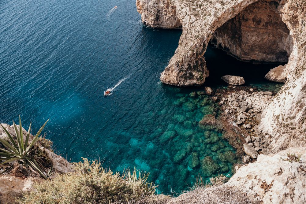
Small boats leave the Wied iż-Żurrieq inlet for a trip of about 20 minutes into the Blue Grotto and the neighbouring sea caves, where the…
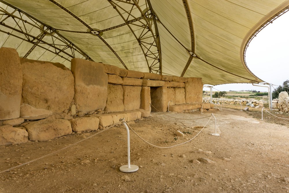
On a ridge above the sea near Qrendi, Ħaġar Qim is a megalithic temple built from huge slabs of soft limestone, now sheltered by a white…
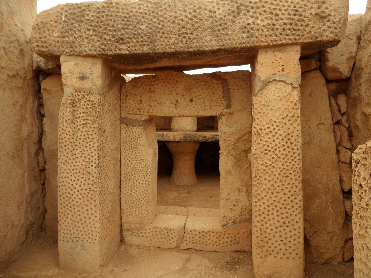
A paved path of about 500 metres runs downhill from Ħaġar Qim to Mnajdra, three temples set in a hollow facing the sea. The lower temple is…
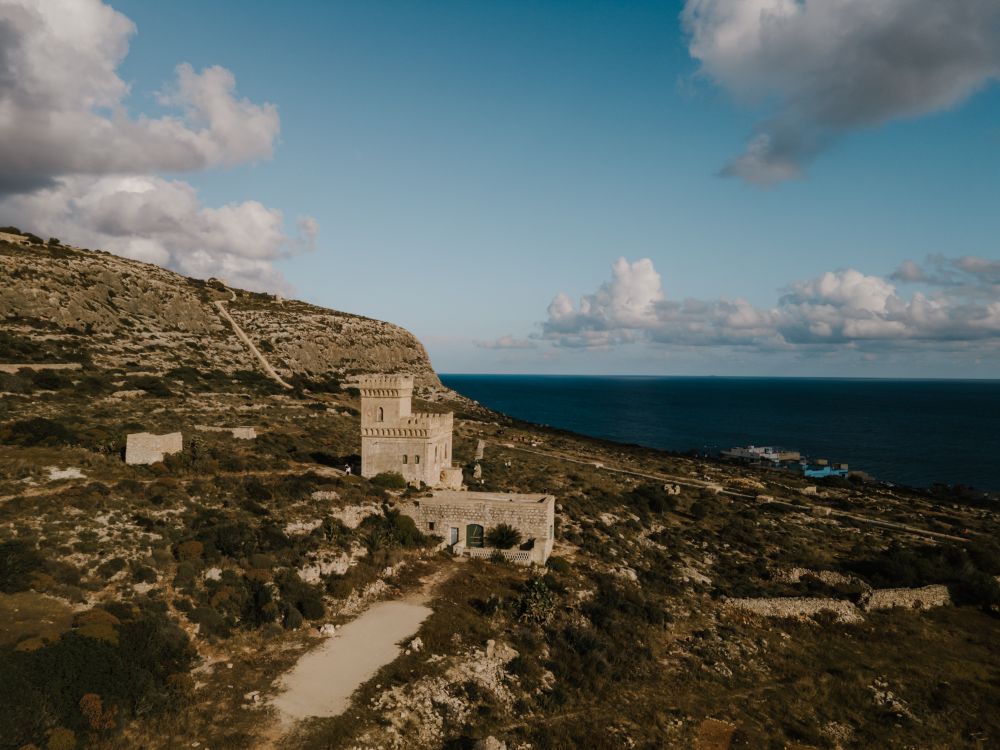
Cliffs shelter this rocky inlet of clear, deep water below Siġġiewi, once a favourite with snorkellers and divers for the caves near the…
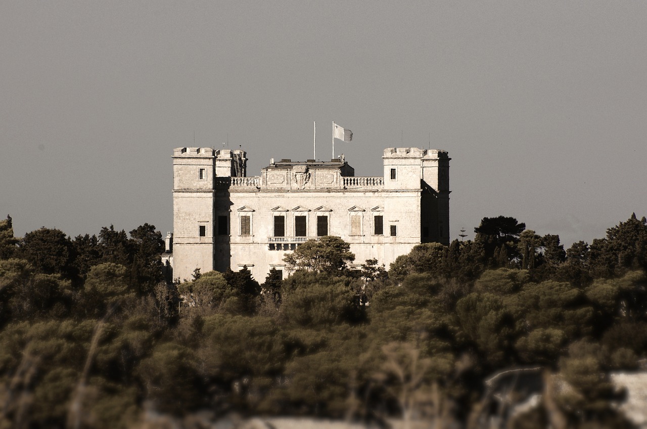
Malta's largest woodland fills a valley below Verdala Palace, with Aleppo pines, oaks, citrus groves and a stream that runs in winter.…
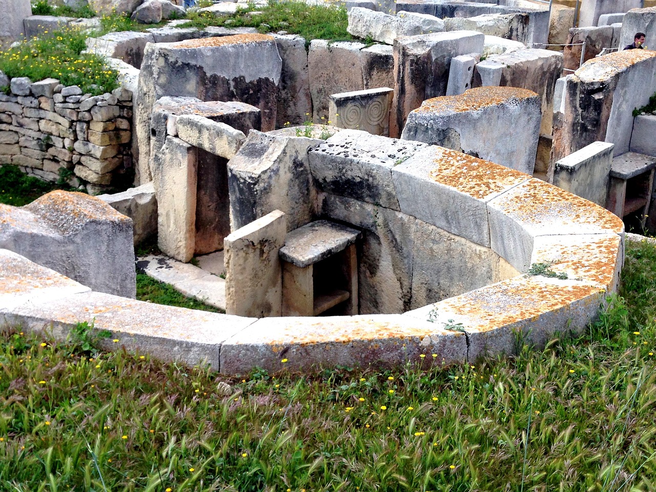
Four connected megalithic temples sit under a protective canopy among the houses of Tarxien, a short walk from the Hypogeum. Raised…
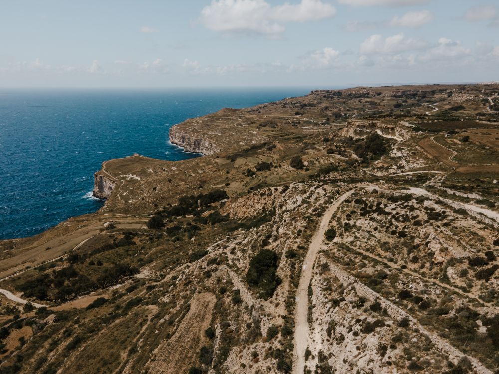
Sea cliffs drop around 250 m to the water along Malta's southwest edge at Dingli, the highest point on the island. A road and a footpath…
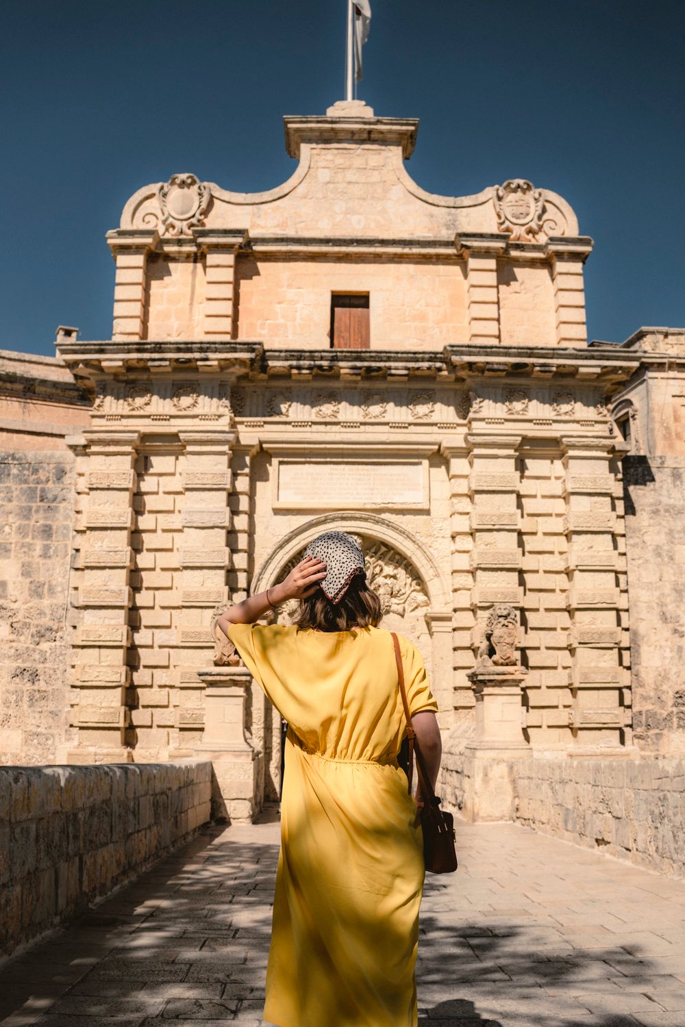
A stone bridge over the dry moat leads to Mdina's main gate, a baroque archway built in 1724 and carved with the arms of Grand Master…
Last updated