The last major fort the British built in Malta went up on this headland in 1938, its thin walls laid out to pass for field walls from the air. You come for that disguise and for the view over St Paul's Islands.
Fortress, Mellieħa. Meridian Dispatch.
Yes, the grounds are a public site and open to walk around. The buildings are not: the dangerous structures are fenced off and carry No Entry signs, so keep to the open ground outside the fence.
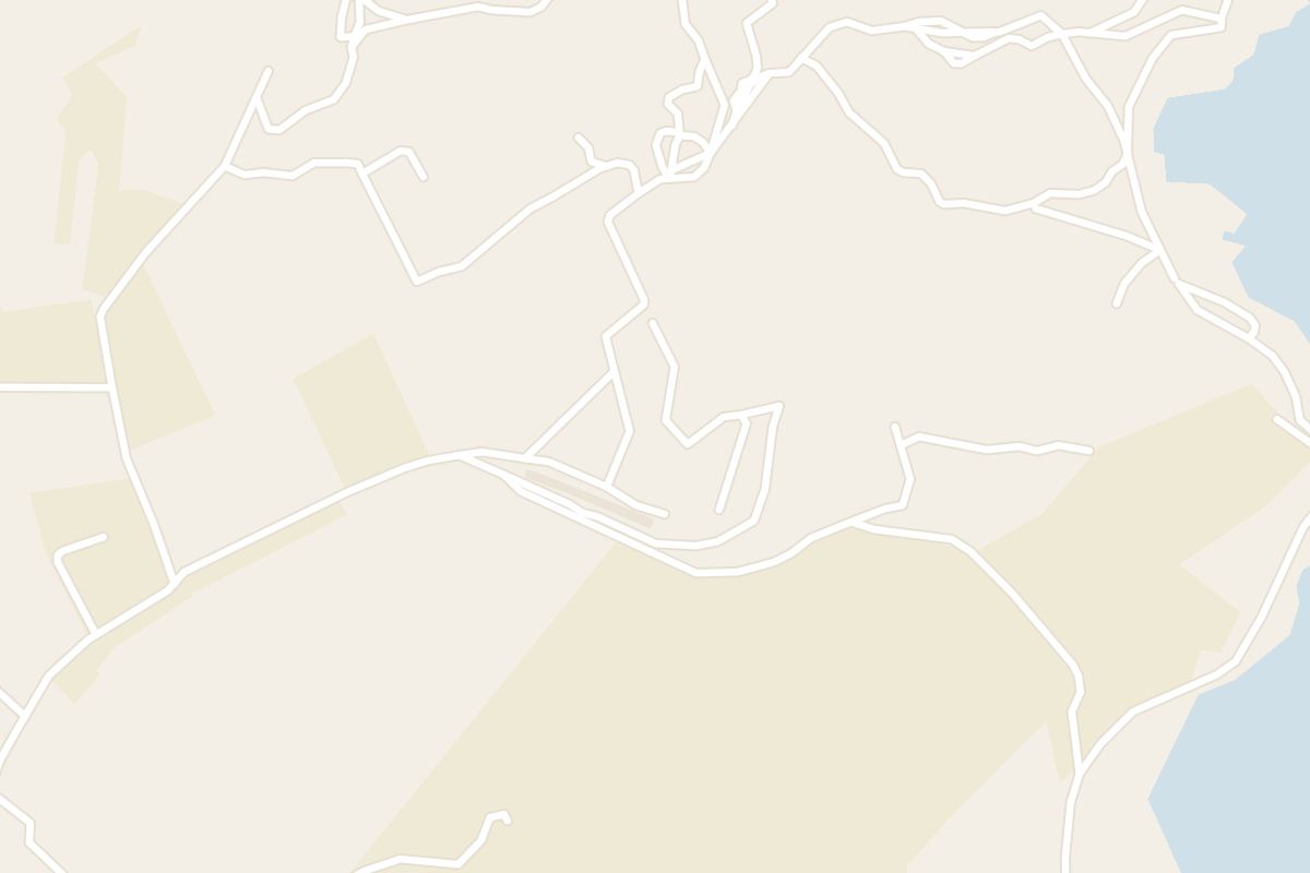
The fort stands on the Selmun headland above Mellieħa, along a side road that branches off just before Selmun Palace. Drivers leave the car by Selmun Palace, and walkers come up from the Mellieħa bus stop.
It was designed against air attack. Instead of thick ramparts, it got a thin wall on a broken line that copies the field walls and terraces of the surrounding countryside.
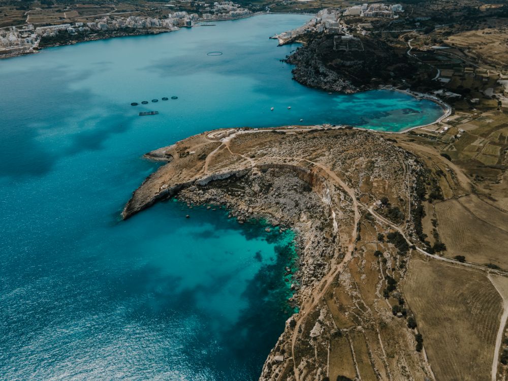
The headland gives a wide view over St Paul's Islands and the Selmun coastline. Paths drop from it to the Blata il-Bajda salt pans and on to Mistra Bay.
Not yet. The government has said it will become a family park, and a Project Green restoration is planned. Until work starts, the dangerous buildings stay closed off.
Spring and autumn, when it is not too hot and rain is less likely. Spring is when the walk is at its greenest, with wild flowers out.
Fort Campbell stands at the end of the Selmun promontory, on the high ground called Il-Blata. It was built to guard the approaches to Mellieħa Bay and St Paul's Bay, which had no defences of their own.
Study the perimeter wall first. Trace its broken, irregular line against the terraced fields around it. Along it sit the machine-gun posts that defended the perimeter.
Barracks and radar posts were added during the Second World War. They are now in poor shape: vandals stripped the iron beams that held up the roofs.
Walk to the seaward edge of the headland for the view along the whole Selmun coastline. Below you, winding tracks run down toward the coast.
The rubble-walled road to the fort branches right just before Selmun Palace, above Mellieħa, and runs for around 1 km. It is the longest and most strenuous of the walks from the palace.
Drivers will find ample space to park on the road near the palace. Without a car, take bus 41, 42 or 250 to the Mellieħa stop by the big roundabout, then walk about 15 minutes to the palace.
At the fort, walk the open ground around the fenced buildings, then take the winding tracks below toward the coast. There is no official trail, only the outline of a path worn by local walkers.
Tracks lead down to the right to Mistra Battery above Mistra Bay, and to the left to the salt pans of Il-Blata il-Bajda, which look across to the statue of St Paul on the islands opposite. The return along the pine-lined road to the palace takes about 10 minutes; cars use it too, so keep to the edge.
Carry food and water, as there are no shops along the way. Between June and September, keep the walk out of the midday heat.
For a beach afterwards, follow the cliff top west to the ruined Għajn Ħadid Tower, above the little beach at Mġiebaħ Bay.
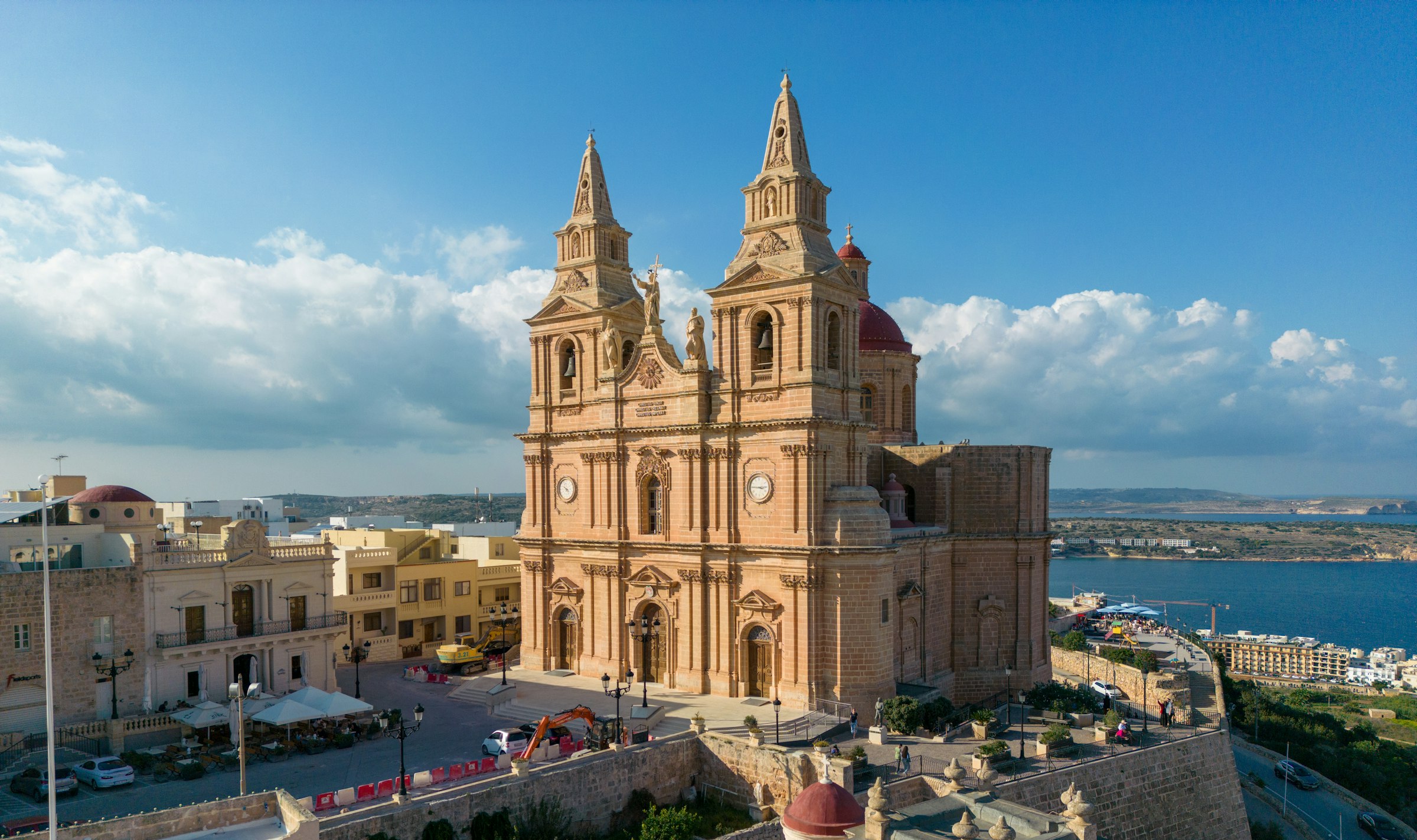
Mellieħa's ridge gives you a quiet night above the bay: the sand is about 3 km downhill, and the Parish Church terrace looks back over it in the evening.
Read the Mellieħa guideExplore the rest of Mellieħa
Starting at a road sign reading The Roman Road above Xemxija Bay, this walk of about 4 kilometres links some twenty sites: an old road,…
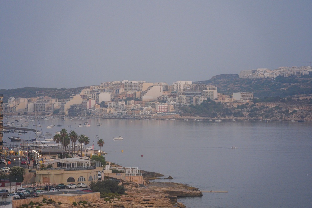
Hotels, bars and a long seafront promenade fill Buġibba and Qawra, the resort strip on the north side of St Paul's Bay. The area makes for…
The longest sandy beach on Malta runs along Għadira, at the foot of the Mellieħa ridge. Shallow, calm water stays waist-deep a long way…
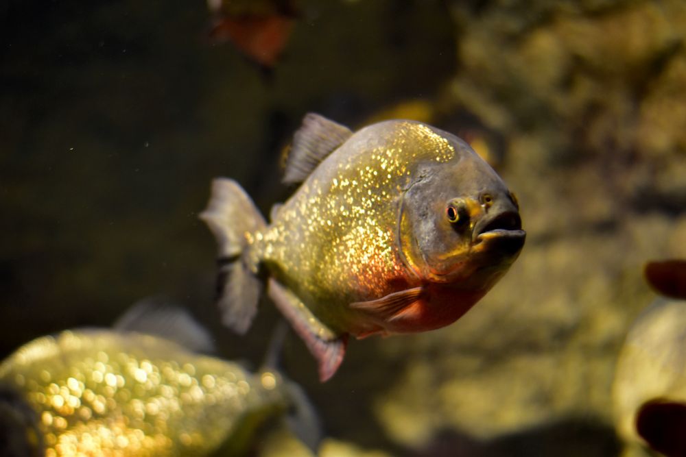
Shaped like a starfish on the tip of Qawra Point, the aquarium holds tanks of Mediterranean species, a walk-through tunnel with sharks and…
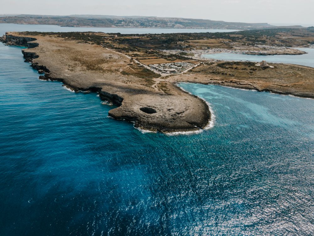
Near the northern tip of the Marfa ridge, a collapsed sea cave has left a round pool open to the sky, joined to the sea by an arch.…
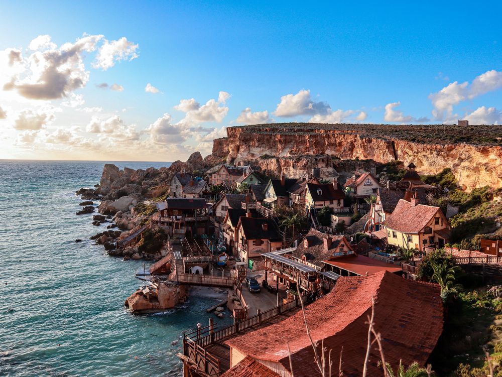
Wooden houses built as the set for the 1980 Popeye musical film still cling to the side of Anchor Bay, now run as a ticketed family…
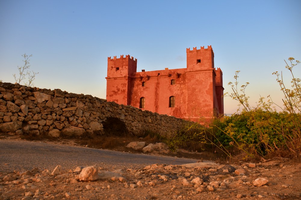
Painted deep red, St Agatha's Tower sits on the crest of the Marfa ridge, a Knights-era fort with corner turrets. Inside are restored rooms…
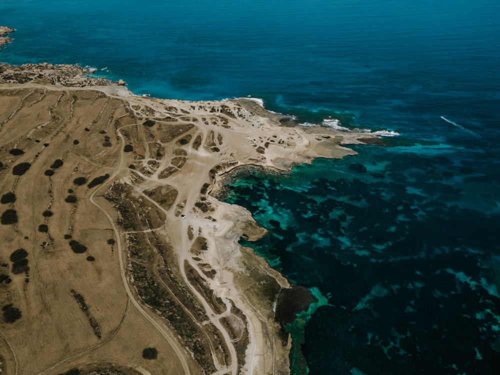
Walking the length of this ridge takes in small fields with rubble walls, open garrigue and, at the western end, sea cliffs, with Gozo and…




Save Fort Campbell to your Malta trip in the Meridian Dispatch app and build the day around it, with the best of Mellieħa pinned on one map.
Download on the App StoreLast updated