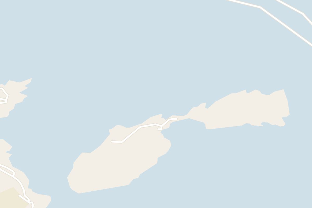
1845 is the year the white statue of St Paul went up on these rocky islets off Selmun, where Malta's tradition places his shipwreck. You see it from a boat passing close by, or from across the bay.
Island, St. Paul's Bay. Meridian Dispatch.
There is no jetty and no scheduled crossing to the islets, so plan on seeing them from a boat or from the shore rather than stepping onto them.
Only over water, and only when the weather allows. Organised excursions and private charters go out in suitable conditions, and the islets can also be approached by kayak.
Malta's tradition places the wreck on one of these isles off Selmun, where a big storm drove the ship carrying St Paul and its prisoners. The feast of St Paul's Shipwreck falls on 10 February.
Yes. The seabed around the islets has gained recognition among divers, and dives here are best made with local guidance because of the currents around the rocks.
From the viewpoints near Selmun Palace and along the Mellieħa coast, where the islets sit on the open horizon, or from the southern end of the St Paul's Bay promenade.
No. St Paul's Island has been uninhabited since the Second World War. At about 0.1 square kilometres, it is the second largest uninhabited island of Malta.
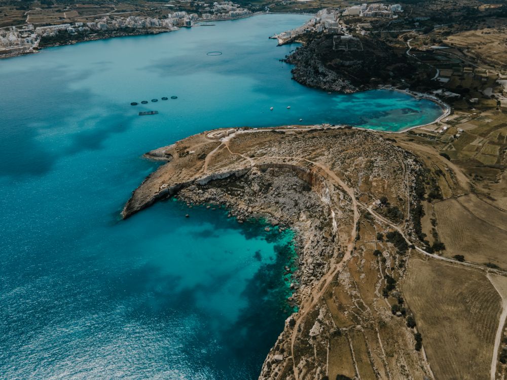
Il-Gżejjer ta' San Pawl, as the islands are called in Maltese, lie off Selmun in Mellieħa, near the north of Malta. They are also known as Selmunett.
Depending on sea level, a shallow isthmus joins or divides them. When divided, the larger western island is St Paul's Island and the smaller eastern one is Quartz Island.
The statue of the saint stands on the islets. Close in, the coast has cliffs and small caves.
Below the waterline, the seabed has reefs and drop-offs with marine life typical of the central Mediterranean. Clear water and little coastal development give good visibility.
The islets' colours shift with the season: greener in the cooler months, drier hues in summer.
Leaving from Buġibba Jetty, on the Dawret il-Gżejjer promenade, the Comino day cruises follow the north coast past St Paul's Islands and their statue on the hour-long trip out. The boat then goes into the Santa Maria cave.
From land, the statue is clearly visible across the water from St Paul's Bay. On the Selmun side, a walk from Mistra Bay gets you closer for views of the islands. The walk follows the coast, with views of the islets and the shoreline along the way.
The sea here can change quickly, so keep a kayak crossing to the islets for a calm day and take local advice on conditions. Snorkelling works in suitable conditions, mostly along the more sheltered sides of the islets, so pack a mask if you are going out by boat or kayak.
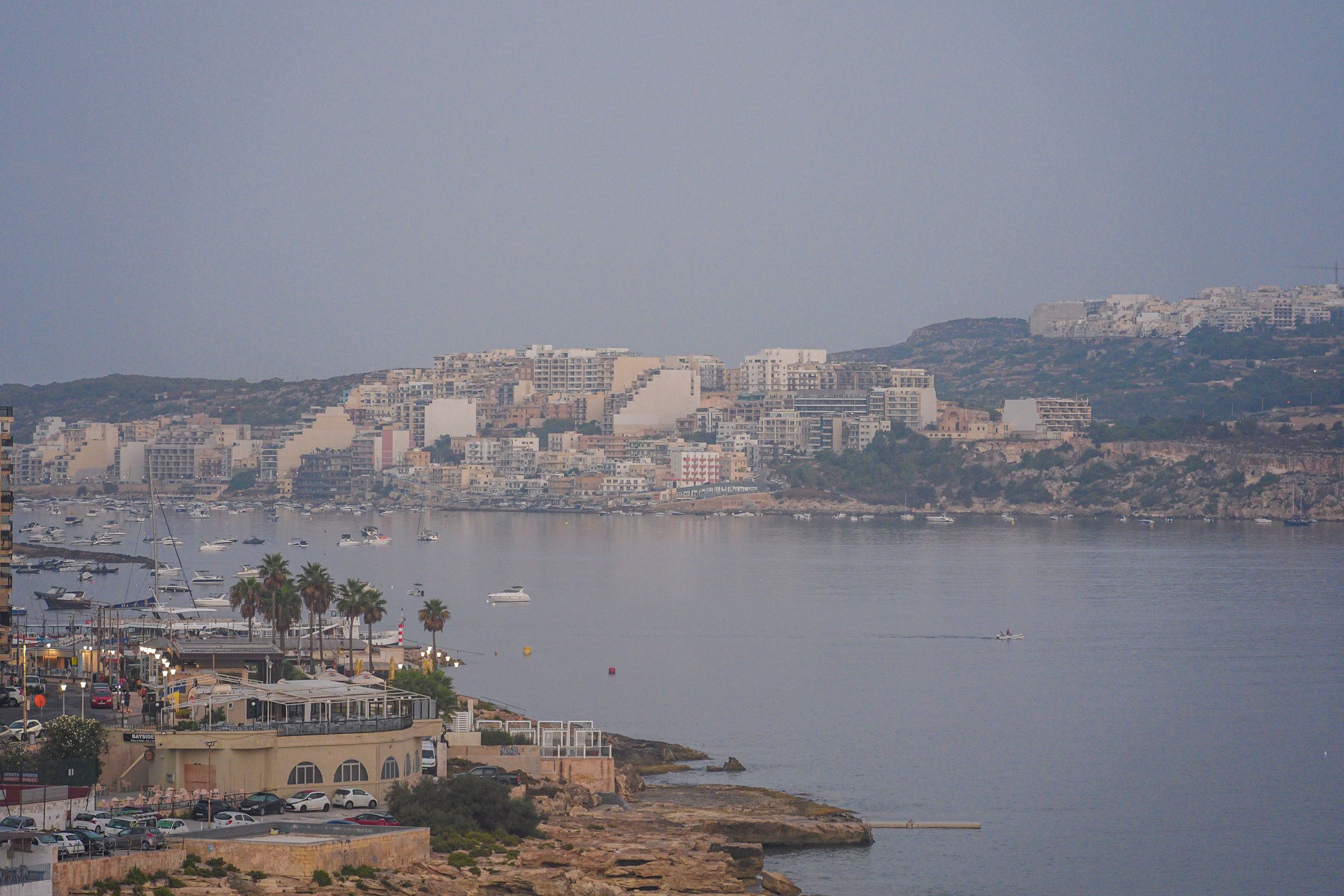
Stay on the Buġibba seafront and you can take a bus out every morning, swim off the rocks at Qawra Point in the afternoon and eat on the promenade at night.
Read the St. Paul's Bay guideExplore the rest of St. Paul's Bay
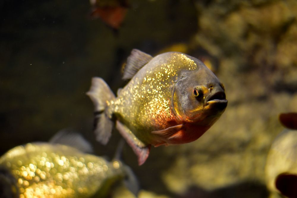
Shaped like a starfish on the tip of Qawra Point, the aquarium holds tanks of Mediterranean species, a walk-through tunnel with sharks and…
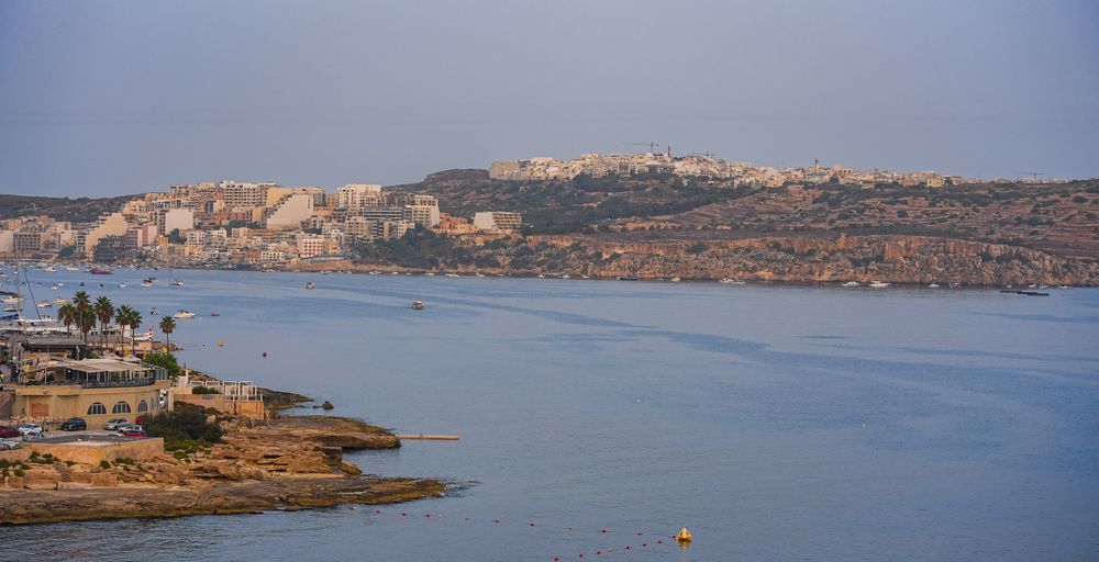
Starting at a road sign reading The Roman Road above Xemxija Bay, this walk of about 4 kilometres links some twenty sites: an old road,…
The longest sandy beach on Malta runs along Għadira, at the foot of the Mellieħa ridge. Shallow, calm water stays waist-deep a long way…
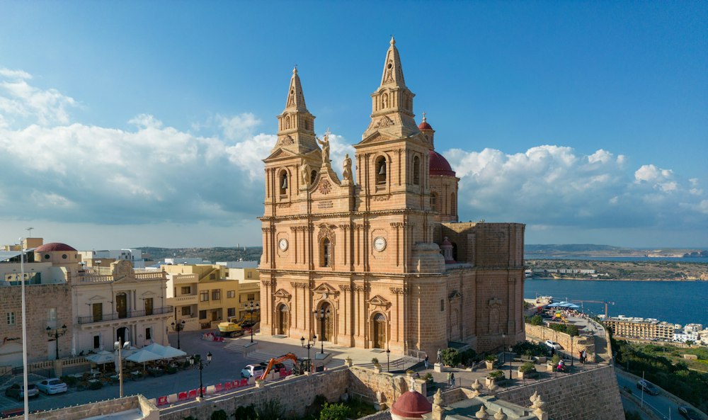
On a ridge above a sandy bay, this hilltop town is the base for the northern beaches, the boats to Comino and the Gozo ferry at Ċirkewwa.…
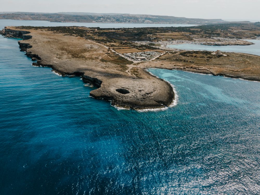
Near the northern tip of the Marfa ridge, a collapsed sea cave has left a round pool open to the sky, joined to the sea by an arch.…
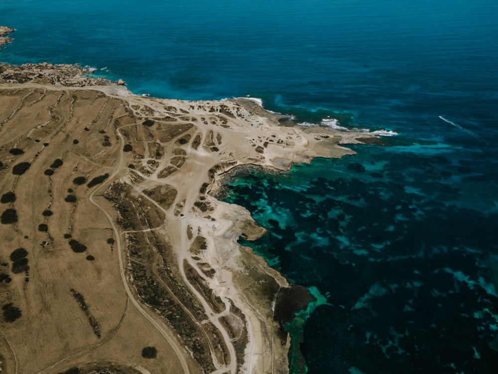
Walking the length of this ridge takes in small fields with rubble walls, open garrigue and, at the western end, sea cliffs, with Gozo and…
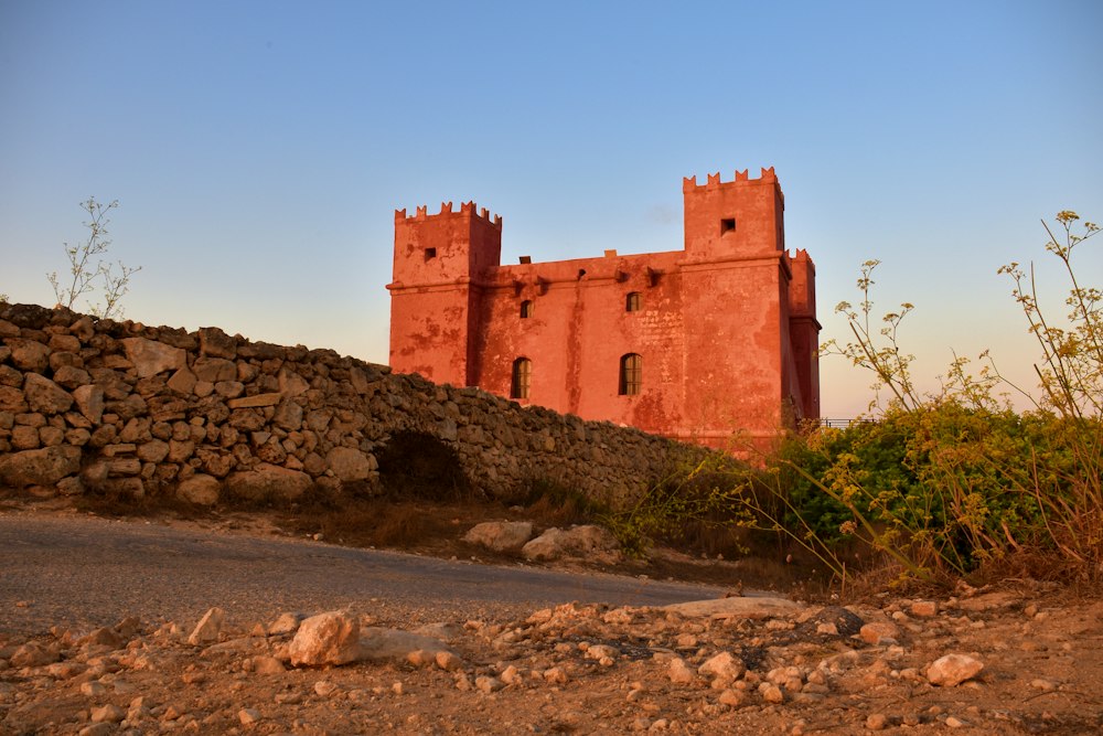
Painted deep red, St Agatha's Tower sits on the crest of the Marfa ridge, a Knights-era fort with corner turrets. Inside are restored rooms…
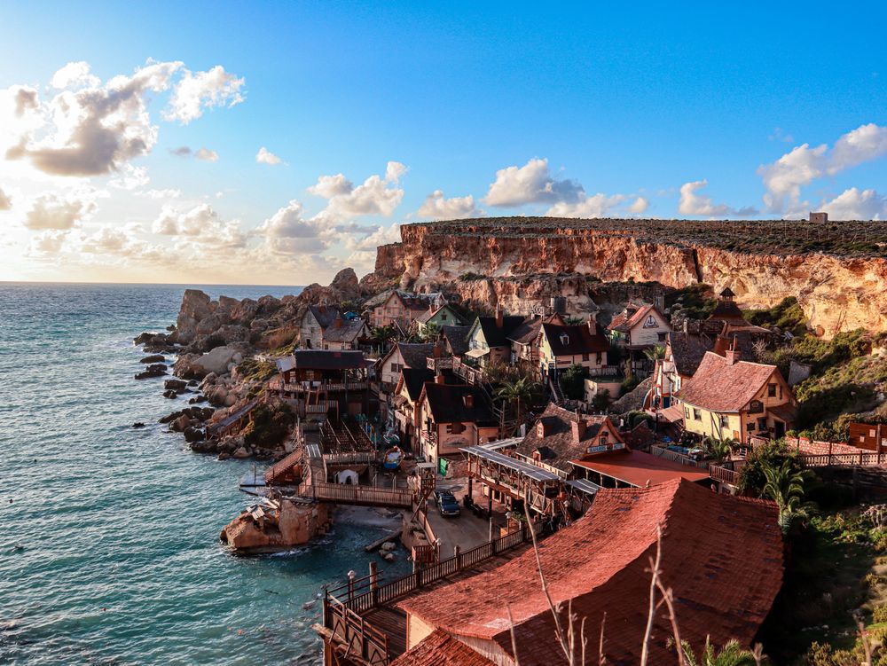
Wooden houses built as the set for the 1980 Popeye musical film still cling to the side of Anchor Bay, now run as a ticketed family…




Save St Paul's Islands to your Malta trip in the Meridian Dispatch app and build the day around it, with the best of St. Paul's Bay pinned on one map.
Download on the App StoreLast updated