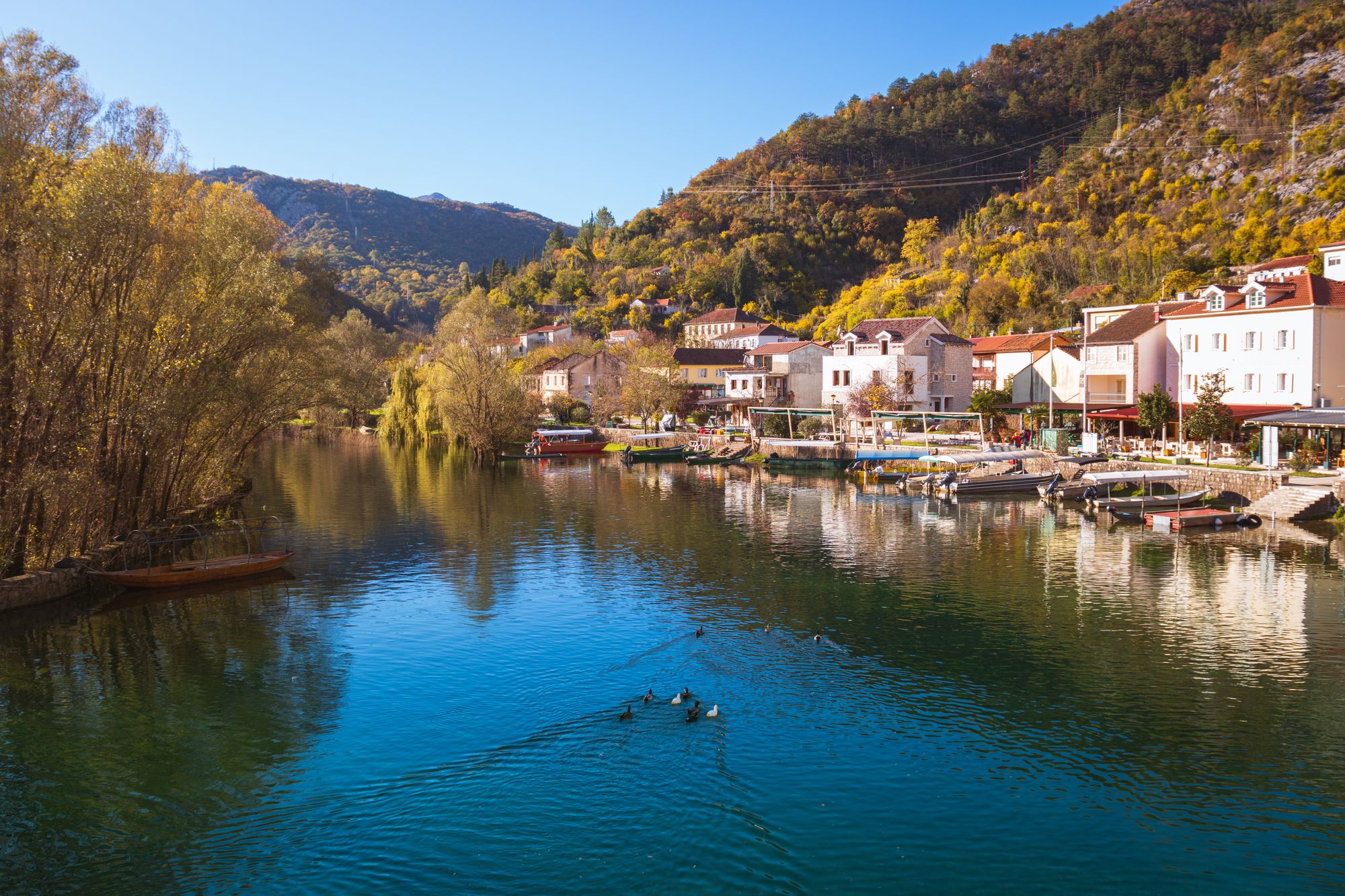
Walk across Prince Danilo’s two-arched stone bridge in Rijeka Crnojevića, a river village on the old lake road below Cetinje, then stay for a fish lunch on the waterfront.
Bridge, Cetinje. Meridian Dispatch.
Prince Danilo I Petrović built it in 1853, in honour of his father Stanko, which is why it is also called Danilo's Bridge. It joined Rijeka Crnojevića, then one of the main trading centres of Montenegro, to the old town of Obod, seat of the ruling Crnojević dynasty.
A handful of quiet things rather than big sights, since the village has no grand squares or monumental buildings. Just above the bridge, on the right as the road enters, stands the oldest surviving building in town, put up between 1810 and 1815. Across the river is Obod, linked to the Oktoih, finished in January 1494 as the first South Slavic book printed in Cyrillic.
At the family konobas along the waterfront, a few steps from the bridge. The local dishes are fish soup, carp and bleak from the river and the lake, with priganice (fried dough), cheese and prosciutto. Dinner is the pick, when the old bridge is softly lit and the tables are set with local wine.
By car, which is the easiest way in. Podgorica lies roughly 28 kilometres away, a drive of 30 to 40 minutes. Cetinje is closer, about 16 kilometres along the old lake road, the direct route that descends into the village by the river.
Not into the village itself, as of October 2026. Buses on the newer bypass between Cetinje and Podgorica can set passengers down at the Meterizi junction, and from there it is a long walk of about 6.5 kilometres along the road to the river.
Yes. Boats tie up along the riverbank by the bridge, and tours leave from the village to cruise the river and out onto Skadar Lake. Starting here rather than in Virpazar means seeing the river stretch, which the tours from Virpazar leave out.
Danilo’s Bridge is a pair of limestone arches, 43 metres end to end, at the centre of the village. It still carries foot traffic between the two banks, and the handful of fish restaurants gathers around it. The village itself is small and not very touristy, with boats moored along the riverbank.
On a still day the arches and their reflection in the river make one picture. From the top of the bridge you can see along the river and out towards Skadar Lake.
Two other details sit close by and are easy to walk past. King Nikola kept his summer court in the village, and a private house beside the bridge is linked to him. By the road into Rijeka Crnojevića, a tall brick chimney marks the old fish-processing plant, now disused.
The best first view is from the village quay, not from the bridge. Stand far enough back to fit the whole span in one frame; still water gives the cleanest picture.
Then cross over, turn round and take the wide view from the far side. Come back along the opposite bank, past the boats moored at the water’s edge.
Stay for lunch: the waterfront restaurants grill the day’s fish over charcoal and make soup from it. For the same river view with fewer people, walk a few hundred metres further along the bank.
Boat trips down the river to the lake, and the Pavlova Strana viewpoint above the river bend, are covered on the Rijeka Crnojevica River Gorge page.
Come before midday in July and August, when the village is at its busiest and the light starts to flatten the stone. Late morning gives you a calm walk on the quay before lunch.
A walk to the bridge and lunch need no ticket. Keep the national park ticket for a boat trip out onto the lake.
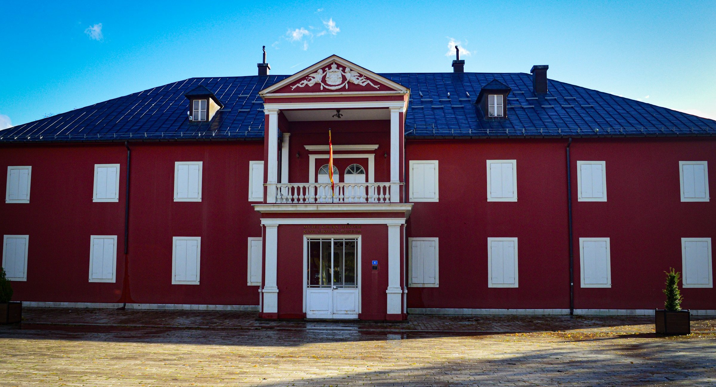
Give Cetinje, the old royal capital, one day from the coast: Lovćen's mausoleum in the morning, then the museums, monastery and churches, a few minutes' walk apart, in the afternoon. Stay a night only for the river at Rijeka Crnojevića.
Read the Cetinje guideExplore the rest of Cetinje
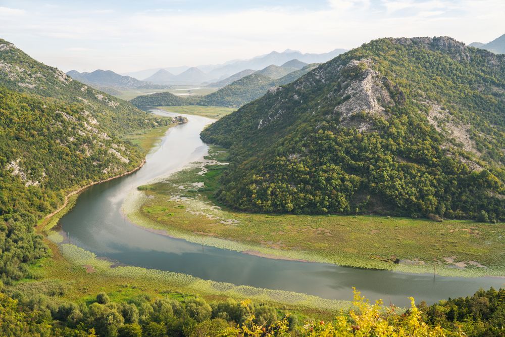
A narrow limestone gorge where the Crnojević river winds toward Lake Skadar between steep wooded walls, best seen by boat from the village…
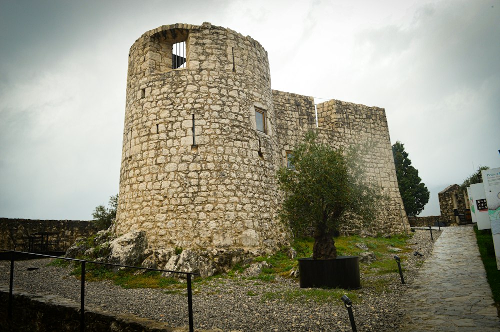
A small Ottoman fort built in 1478 on the hill directly above Virpazar, used to control the crossing at the southern end of Lake Skadar and…
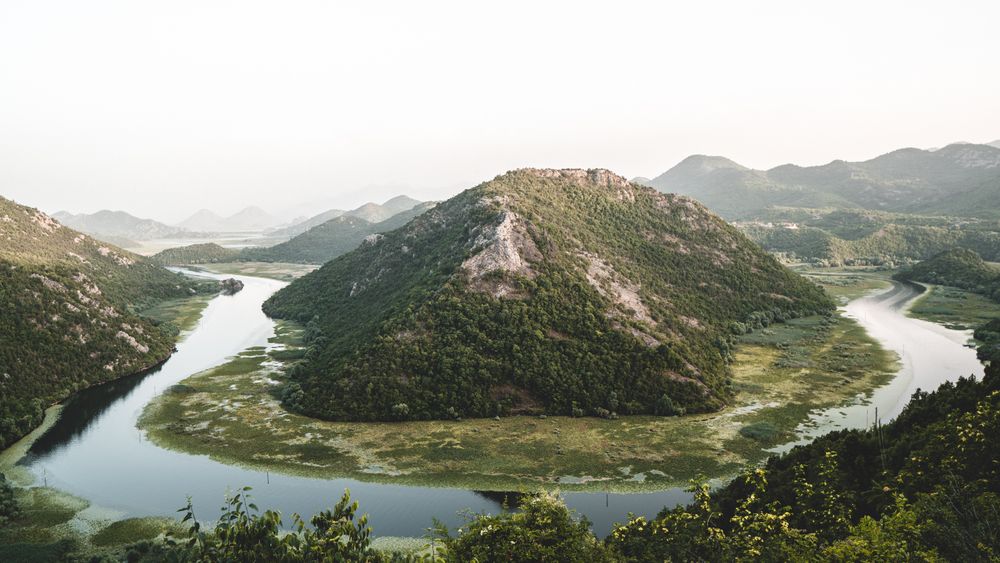
The largest lake in the Balkans by surface area, spreading from about 370 to 530 square kilometres between summer and winter, two thirds of…
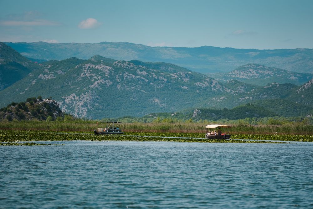
A lakeside settlement of about 300 people at the mouth of the Crmnica river, built around two stone bridges and the ruins of the…
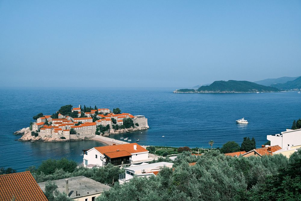
A walled islet of stone houses, now a single resort, is tied by a sand causeway to a pebble beach. Behind the beach a hillside village…
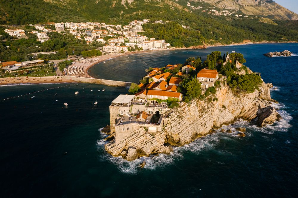
The fifteenth-century walled village on the islet of Sveti Stefan, joined to the shore by a narrow causeway and run as a single hotel,…
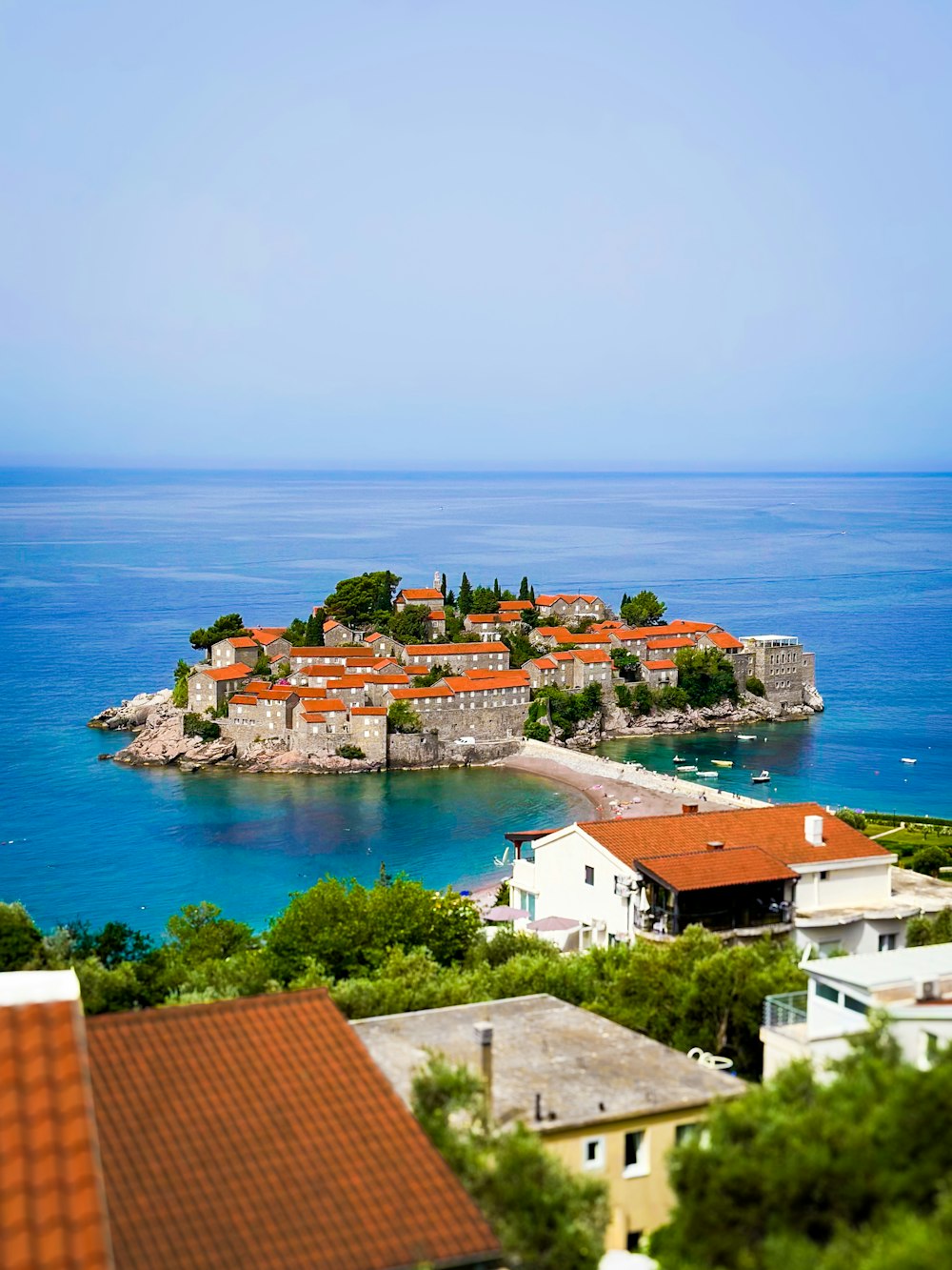
A walled village of 15th-century stone cottages on a rocky islet, linked to the shore by a narrow stone causeway. Twenty people were left…
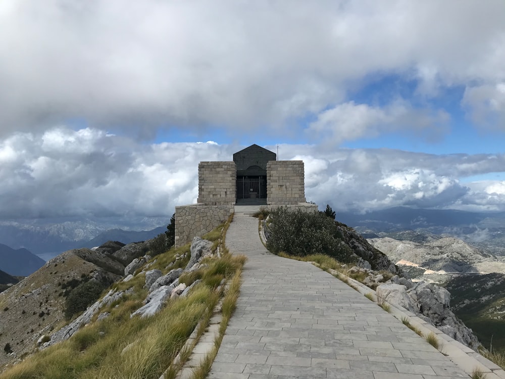
The mausoleum of Petar II Petrovic Njegos crowns Jezerski Vrh at 1,657 metres, reached by a tunnel and 461 steps from the summit car park.…




Save Old Bridge of Rijeka Crnojevića to your Montenegro trip in the Meridian Dispatch app and build the day around it, with the best of Cetinje pinned on one map.
Download on the App StoreLast updated