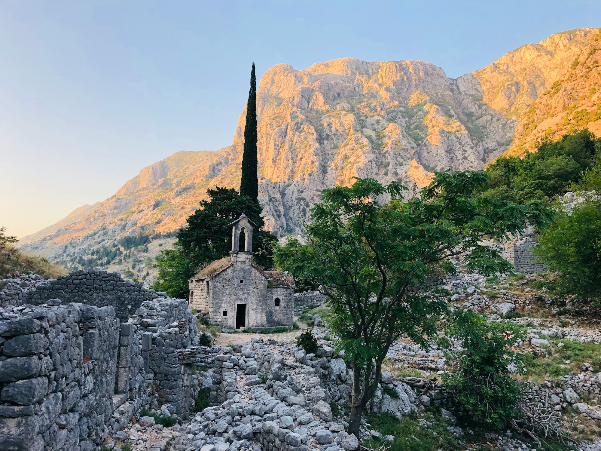
Ninety seconds on Ruins of Doclea
Foundations in a field, with a map and a description at each building and an unstaffed hut by the gate where a fee would be paid. What it asks of a visitor is the patience to read a plan on the ground.
The remains of a Roman town of eight to ten thousand people, about three kilometres north of Podgorica on the ground where the Zeta runs into the Morača. It was made a municipium under Claudius in the first century and became the capital of the new province of Praevalitana after the empire was divided in 297, before an earthquake brought it down in 518.
Foundations, mostly knee high, laid out across a meadow. Each building carries a map and a description in Montenegrin and English, and there is a plan with a legend at the way in, so the site reads as a town rather than as rubble. The forum structures are the centre of it. Massive walls run in parallelograms, the traces of the bridge over the Morača are still findable, and the ruins of palaces stand among sarcophagi cut with bas-relief and tombstones carrying Latin inscriptions. Nearer the water are the Christian remains, a church and a basilica whose plan is clear enough on the ground to find where the altar stood. Carved stones, columns and lintels are set about the site, and some of them are documented nowhere at all.
Explore the rest of Podgorica
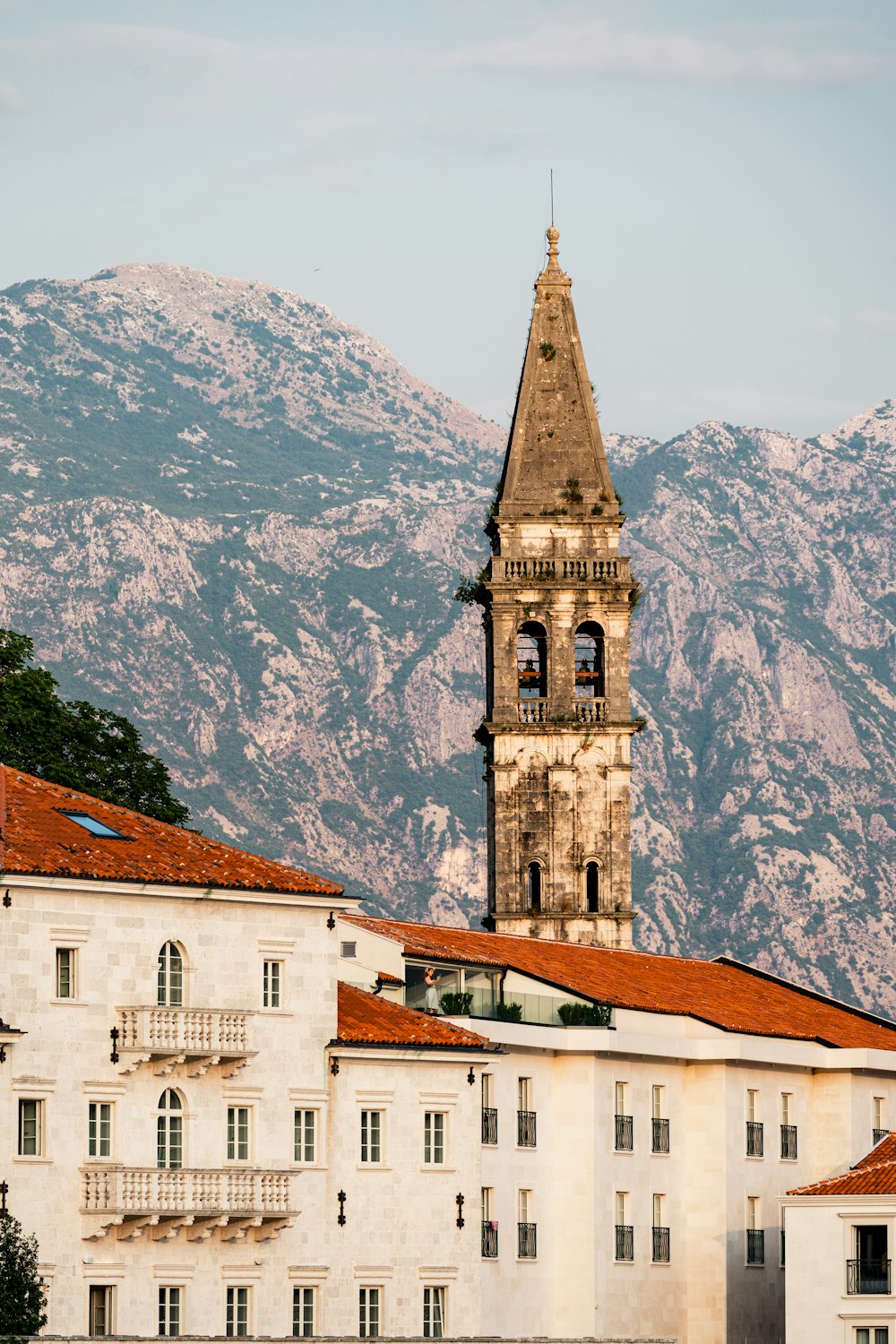
Podgorica's largest public park has a palace in it, built for King Nicholas I between 1891 and 1894 as a winter residence. It holds the…
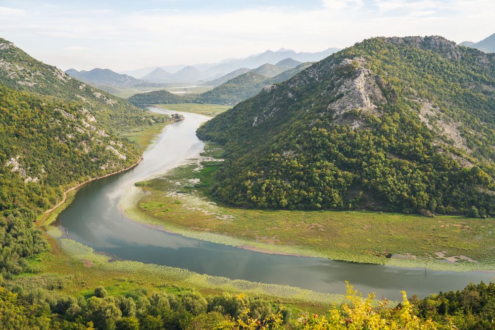
A narrow limestone gorge where the Crnojevica river winds toward Lake Skadar between steep wooded walls, best seen by boat from the village…
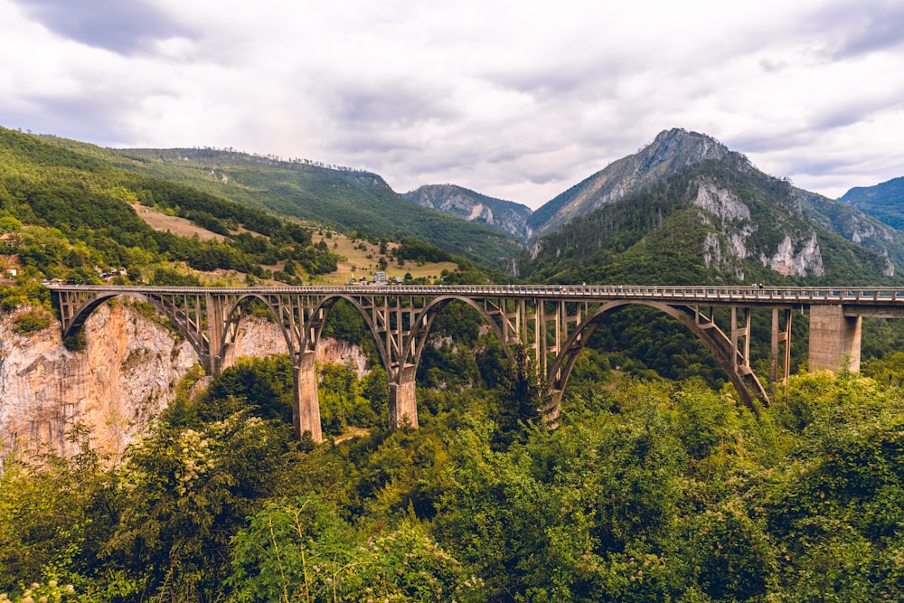
In 1853 Prince Danilo commissioned the arched stone bridge over the river, raising it in memory of his father Stanko Petrović and in place…