
You can reach glacial lakes and high summits on marked trails from Žabljak, 2 km from the park, then drive a signposted loop to a viewpoint high above the Tara gorge.
Park, Žabljak. Meridian Dispatch.
Entry is ticketed, and the park ticket includes the visitor centre and the educational trails. Children under 15 do not pay. The national parks authority also sells an annual ticket valid in every national park in Montenegro.
By road to Žabljak, the park's base town: 124 km, about 2 hours and 20 minutes by car. Buses also run from Podgorica to Žabljak. The nearest airports are Podgorica and Tivat, with onward travel by car or bus from either.
Summer, from mid-June to the end of September, when the high trails and huts are in use. Rafting on the Tara is safest from 1 July to 15 September, when the water level suits it. In winter the park is snow country: the Ring road over Sedlo closes, and a marked snowshoe trail runs through the forest.
The park covers 32,519 hectares across five municipalities: Žabljak, Šavnik, Plužine, Pljevlja and Mojkovac. It takes in the Durmitor massif, the canyons of the Tara, Draga and Sušica, and the highest part of the Komarnica canyon valley.
No. The park has 25 marked mountain trails of different lengths and difficulty. The park also hires out its own guides, and runs Durmitor Ring tours by van or jeep with entry included.
The official site of Durmitor National Park is nparkovi.me.
nparkovi.me →Most of Durmitor is a high plateau cut through by deep canyon valleys. Above it rise 48 peaks over 2,000 metres, from the sharp needles of Zupci and Minin Bogaz to the sheer walls of Savin Kuk and Šljeme.
Eighteen glacial lakes, the gorske oči or mountain eyes, lie among them. Some are walks or drives out of town: Zminje Lake beside Barno, Vražje Lake out on the Jezera plateau southwest of Žabljak, and the two Škrčka lakes in a high valley ringed by the tallest summits.
The Tara is the other half of the park. Its canyon reaches 1,333 metres deep, the deepest in Europe.
Chamois, the park's emblem, graze the rocky ground and high pastures. UNESCO listed the park in 1980. In 2017 the medieval stećci, carved tombstones in the villages of Novakovići, near Riblje jezero, and Bare Žugića, were added, some carved with human and animal figures and hunting scenes.
Three days cover the park from a base in Žabljak. The first afternoon goes to Black Lake (Crno Jezero) and the educational trail around its shore.
The second day is for one long walk. Among the park's suggested routes is the trail from Barno past Zminje Lake to Black Lake. Bobotov Kuk is the summit day, starting from the Sedlo pass.
On the third day, drive the Durmitor Ring, a 76 km circuit by car from the centre of Žabljak. Brown Panoramic Roads signs with the number 2 mark it in both directions. Take the turn for the Ćurevac viewpoint, 4 km from the centre of town, for the view down into the canyon.
For a night inside the park, two mountain huts have a resident host in summer. Škrka, open from mid-June, stands between the two Škrčka lakes on the summit path and needs your own sleeping bag. Sušica, open from late June, sits beside Sušica Lake near the Ring road.
The Lokvice shelter, on the main path junction of the massif, opens all year, with drinking water and room for tents. Bikes and snowshoes are rented at the visitor centre in the park's administration building.
In winter, a marked snowshoe trail of 6.7 km runs from the Savin Kuk ski centre through spruce and fir to Black Lake, about two hours one way.
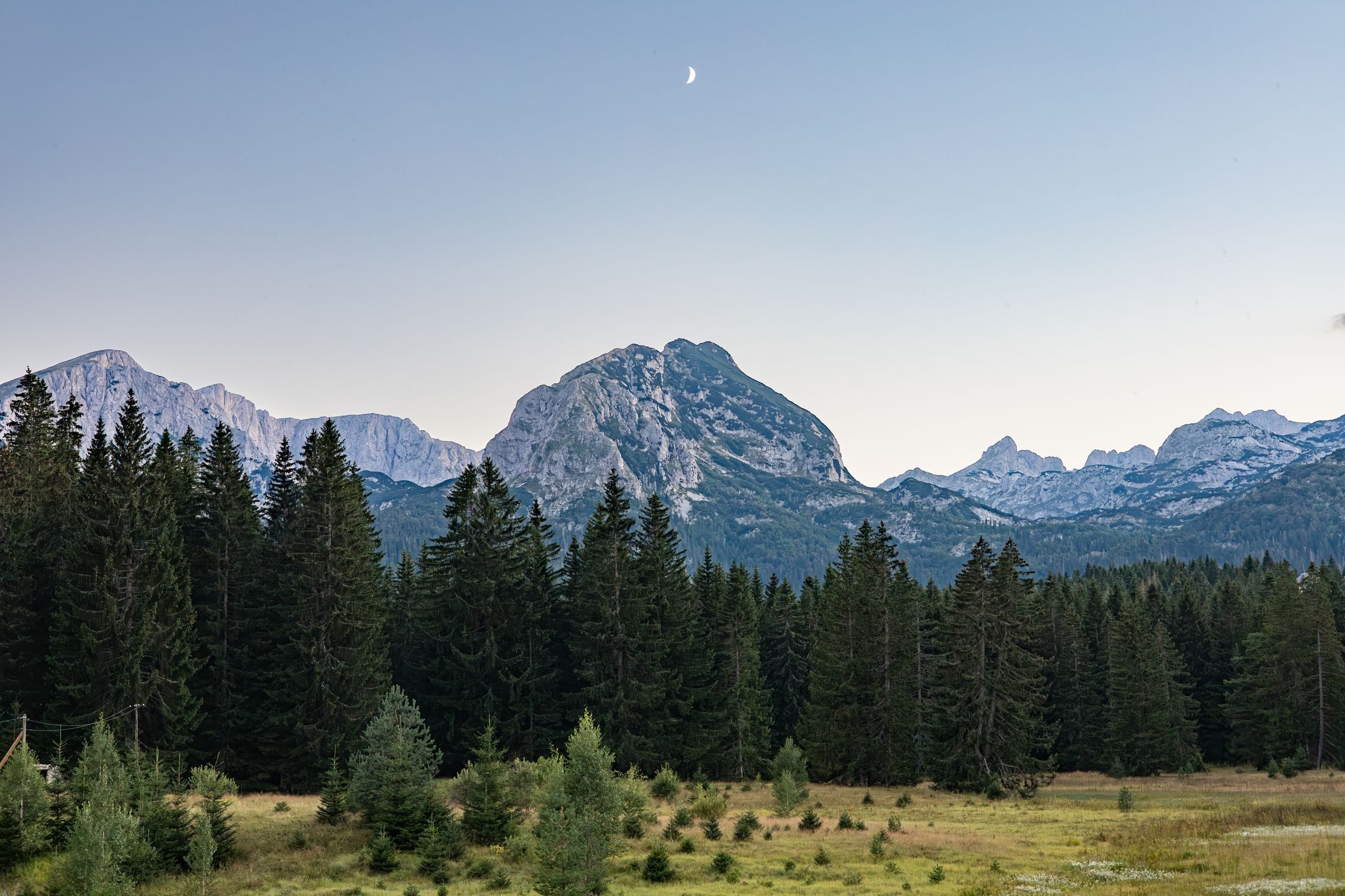
When the July coast runs into the mid thirties, Žabljak is cool enough for a full day on foot, and you can walk out of town straight into a national park.
Read the Žabljak guideExplore the rest of Žabljak
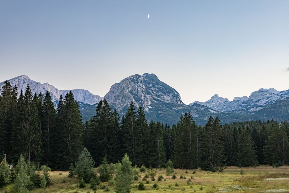
The highest town in the Balkans at 1,456 metres, and the gateway to Durmitor National Park. Black Lake is a forty-minute walk from the…
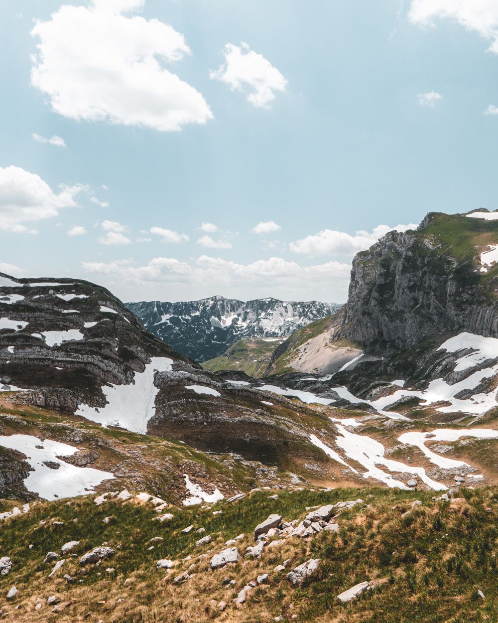
Durmitor's 2,523-metre summit, climbed most directly from the Sedlo pass in five to eight hours return. The final half hour is a narrow…
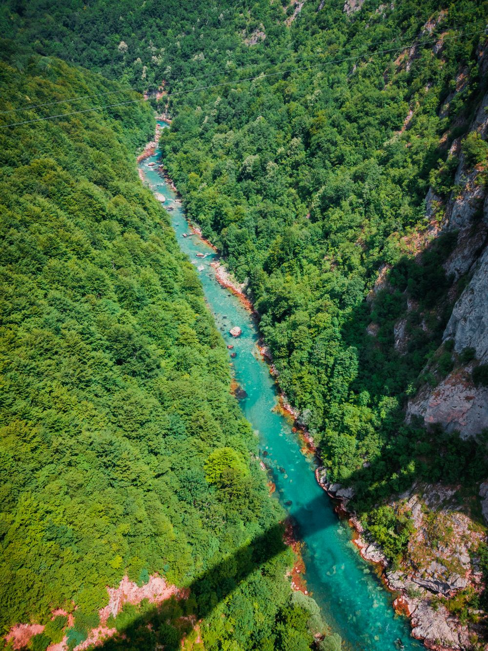
The Tara canyon is up to about 1,300 metres deep, the deepest in Europe, and rafting trips run the river along its floor. Come in May or…
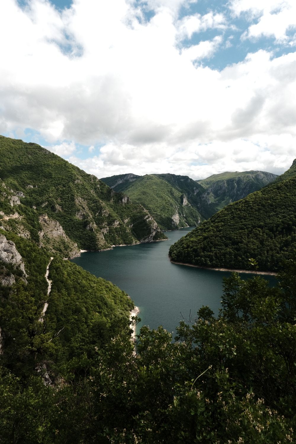
A blue-green reservoir that winds between sheer limestone walls, held back by a dam 220 metres high at Mratinje. The pebble coves near…
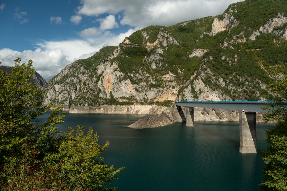
Plužine was rebuilt on the hillside in the 1970s, when the new dam on the Piva flooded the old town below. It is small, practical and…
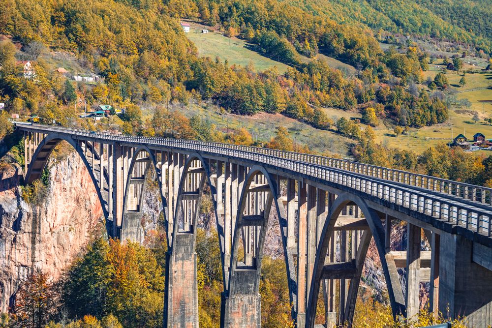
Five concrete arches carry the road across the Tara canyon 23 kilometres from Zabljak, about 170 metres above the river at the most…
Two glacial basins under Međed peak in Durmitor, joined by a narrow strait that dries in summer until the pair separate. A path of about…
A four-star hotel on the first kilometre of the road to Black Lake, inside Durmitor National Park at Žabljak. Built in a modern take on…




Save Durmitor National Park to your Montenegro trip in the Meridian Dispatch app and build the day around it, with the best of Žabljak pinned on one map.
Download on the App StoreLast updated